The best traffic-free bike rides around Herrischried
4.7
(441)
8,277
riders
25
rides
No traffic road cycling routes around Herrischried are situated in the Hotzenwald, a sub-region of the Southern Black Forest, characterized by elevated terrain ranging from 850 to 1050 meters above sea level. The landscape features a mix of lawns, moors, meadows, and dense forests, providing varied gradients for road cyclists. Routes often traverse the deeply incised Wehratal valley, offering scenic views and diverse cycling conditions. This region provides a setting for road cycling with both challenging ascents and rewarding descents.
…Last updated: June 26, 2026
5.0
(2)
31
riders
Moderate road ride. Good fitness required. Mostly well-paved surfaces and easy to ride.
25
riders
16.5km
00:44
100m
100m
Moderate road ride. Great for any fitness level. Some segments of this route may be unpaved and difficult to ride.

Sign up for free
16
riders
19.5km
01:04
320m
320m
Moderate road ride. Good fitness required. Mostly well-paved surfaces and easy to ride.
11
riders
Moderate road ride. Good fitness required. Mostly well-paved surfaces and easy to ride.
5.0
(1)
12
riders
34.5km
01:41
340m
340m
Moderate road ride. Good fitness required. Some segments of this route may be unpaved and difficult to ride.
Get access to more routes and recommendations from other explorers.
Sign up for free
Already have an account?
Our route recommendations are based on thousands of hikes, rides, and runs completed by other people on komoot.
Start today with a free account
Your next adventure awaits.
Login or Signup
Popular around Herrischried
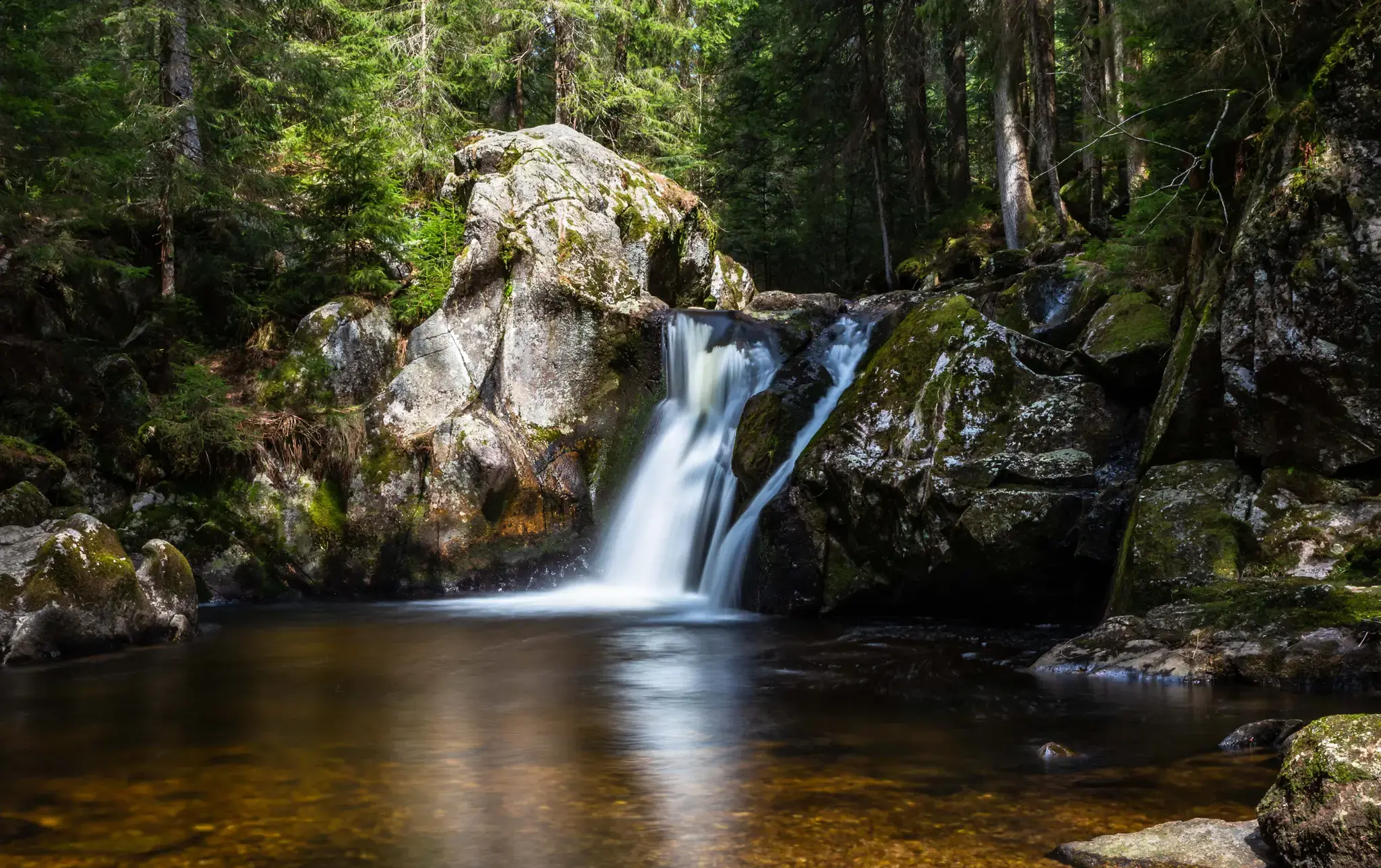
Hiking, ponds & waterfalls – superb Black Forest swimming spots
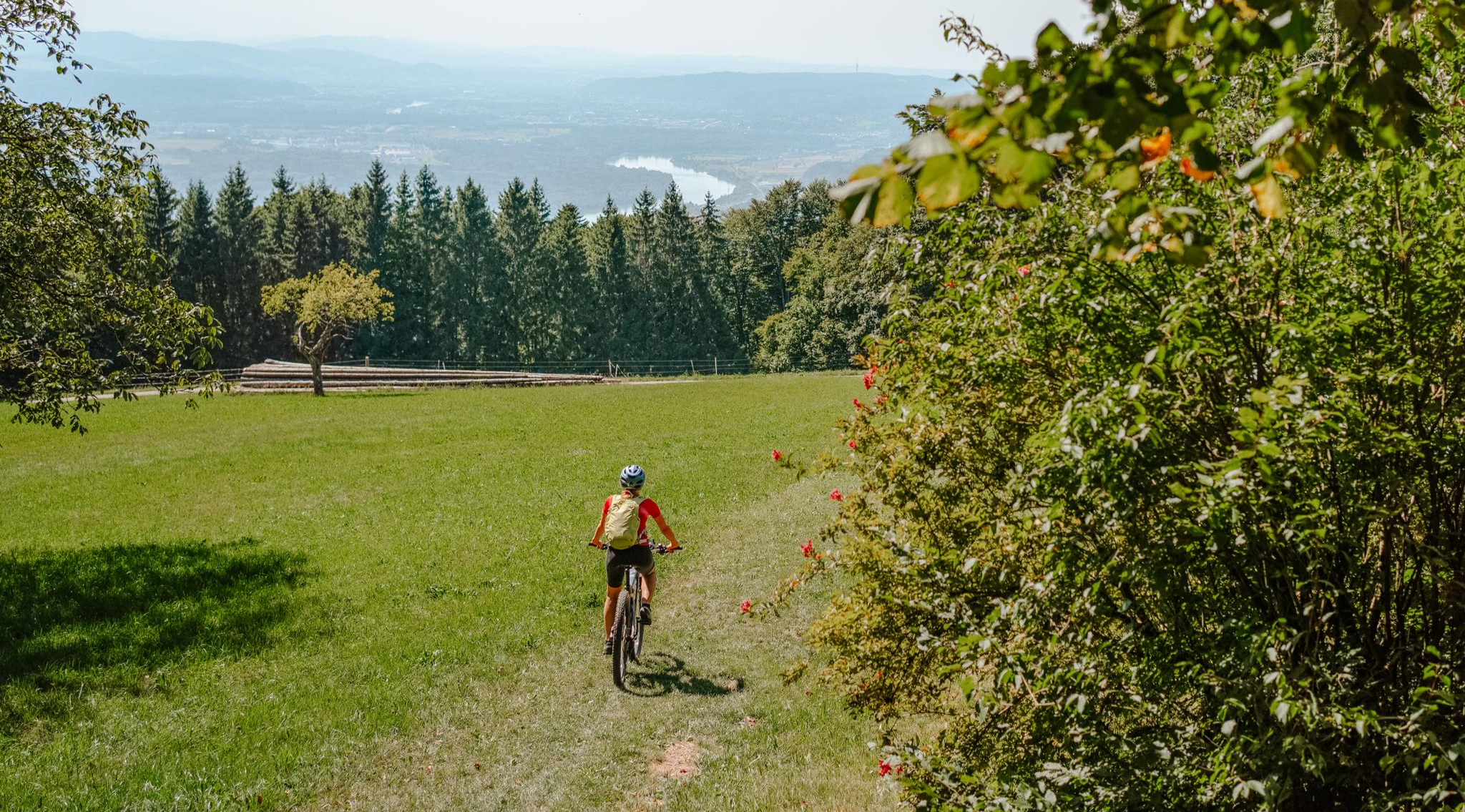
Build your dream ride: Modular biking in the Southern Black Forest
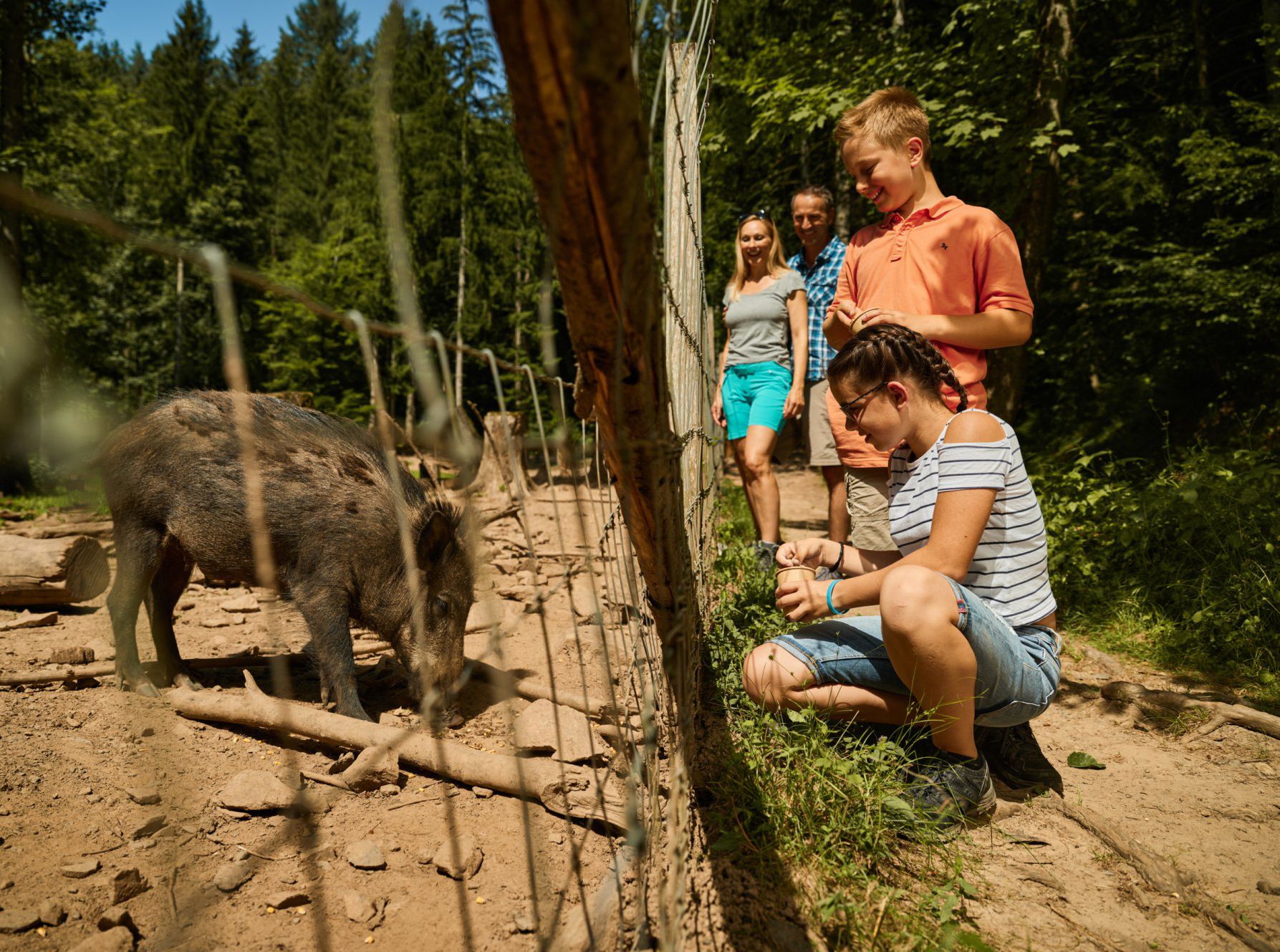
Animal Tours – family hikes in the southern Black Forest
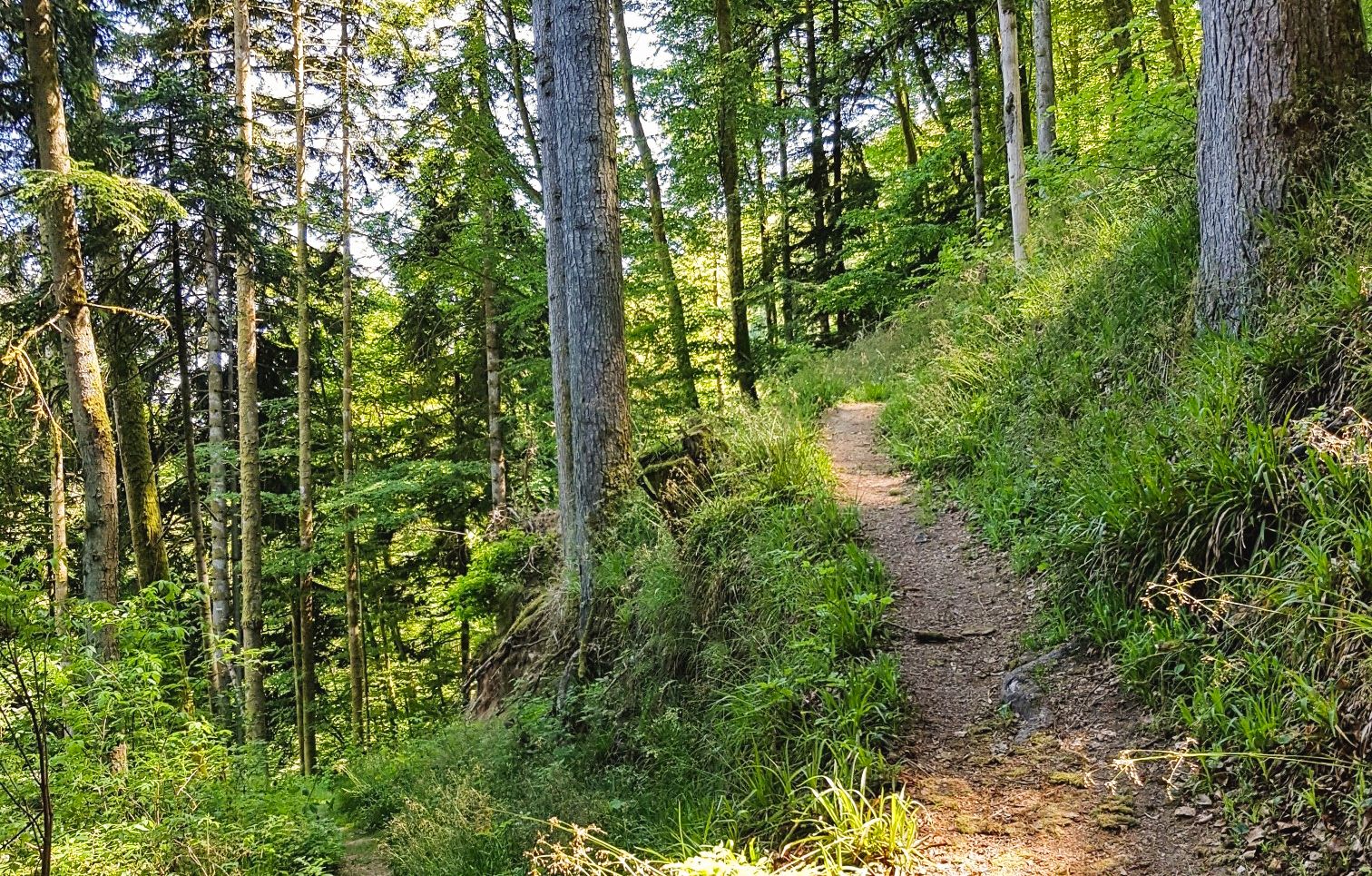
Hotzenwald Querweg trail – two stages in the southern Black Forest
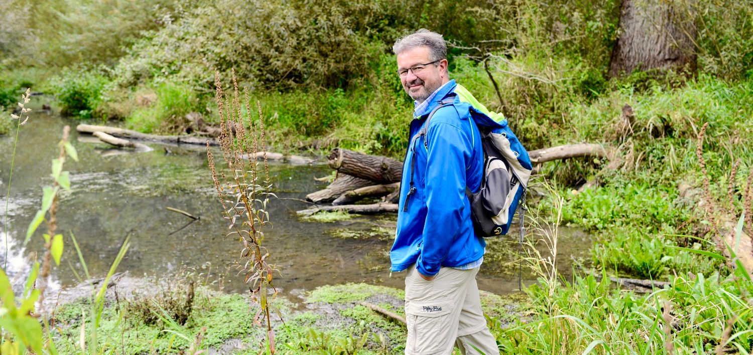
NATOUR-GUIDE — experience living rivers
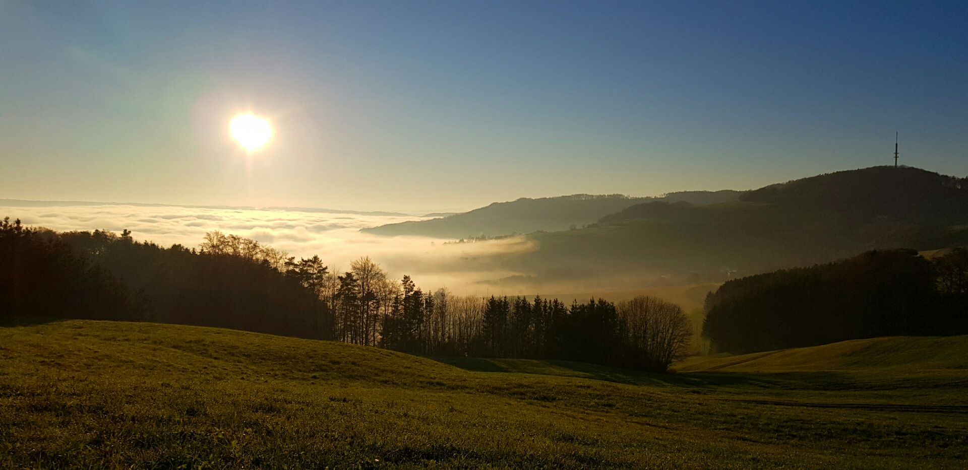
Die Schönheit des Herbstes – Wanderungen im Südschwarzwald
Traffic-free bike rides around Herrischried

Traffic-free bike rides around Herrischried
Other adventures around Herrischried


Tips from the Community

There are far too many disused train stations.
0
0

The Rhine near Wallbach
0
0
Good if there is such a thing
0
0

Wells without the sign “not drinking water”.
0
0

Nothing spectacular, but a nice, quiet, little road with good surface.
1
0

A small hill and you are in another world
2
0
Beautiful descent or beautiful climb (depending on the direction) without any other vehicles.
1
0

The road surface is freshly tarred and leads along the Schwarzenbächle through wonderful nature. Highly recommended!
0
0
Frequently Asked Questions
How many no-traffic road cycling routes are available around Herrischried?
There are over 20 traffic-free road cycling routes around Herrischried, offering a variety of distances and elevations. The komoot community has rated these routes highly, with an average score of 4.7 stars.
What is the typical terrain like on these car-free road cycling routes?
The routes in Herrischried, nestled in the Hotzenwald and Southern Black Forest, feature diverse terrain. You'll encounter elevated sections between 850 and 1050 meters above sea level, offering both challenging ascents and rewarding descents. Expect a mix of picturesque meadows, dense forests, and sometimes unique bog landscapes, all on paved roads designed for road cycling.
What is the best time of year for no-traffic road cycling in Herrischried?
The warmer months, from late spring to early autumn, are generally ideal for road cycling in Herrischried. During this period, the weather is more stable, and the scenic landscapes are at their most vibrant. Given the elevated terrain, it's always wise to check local weather forecasts before heading out.
Are there options for different skill levels on the traffic-free routes?
Yes, the routes cater to various fitness levels. While most of the 24 available routes are classified as 'moderate', there is at least one 'easy' route and two 'difficult' options for those seeking more significant challenges and elevation gains.
Are there any scenic viewpoints along the car-free road cycling routes?
Absolutely. The region offers stunning panoramic views. The Gugelturm observation tower, at 998 meters above sea level, provides expansive vistas of the surrounding landscape and even the Alps on clear days. The Ödland Chapel at 1000 meters is another popular spot for scenic views.
What natural attractions can I explore while road cycling without traffic?
You can discover several natural highlights. The routes might lead you through the wooded slopes of the deeply incised Wehratal valley or near unique bog landscapes like those found along the '7 Moore Weg' on the edge of the 'Kirchspielwald - Ibacher Moos' nature reserve. You could also pass by the Wehra River Mouth Nature Reserve or the tranquil Monastery Pond.
Are there any cultural or historical points of interest near the traffic-free routes?
Yes, for a cultural interlude, the Klausenhof Open-Air Museum showcases regional history and traditions and can be incorporated into your cycling tour. Additionally, the Krai-Woog Gumpen Waterfall and Glacial Mill offers a fascinating natural and historical sight.
Where can I park my car when starting a traffic-free road cycling tour?
Many routes offer convenient starting points with parking. For example, the Kohlhüttenplatz Trailhead and Picnic Area is a good option, often serving as a starting point for tours like the Schwarzenbächle Valley – Kohlhüttenplatz Trailhead and Picnic Area loop from Segeten.
Are there any circular no-traffic road cycling routes?
Yes, many of the routes are designed as loops, allowing you to start and end at the same point. An example is the Ottwanger Straße Scenic View – Karsau–Nordschwaben Cycle Path loop from Wehr, which offers a substantial distance and elevation gain.
Can I find cafes or places to rest along these routes?
While specific cafes are not listed for every route, Herrischried and the surrounding villages offer various establishments where you can stop for refreshments. Many routes pass through or near small towns where you can find places to rest and refuel.
What do other road cyclists appreciate most about the no-traffic routes in Herrischried?
The komoot community rates the routes around Herrischried very highly, with an average score of 4.7 out of 5 stars from over 400 ratings. Cyclists often praise the quiet, car-free roads, the stunning Black Forest scenery, and the rewarding climbs and descents that characterize the region's elevated terrain.
Can you recommend an easy no-traffic road cycling route?
For an easier option, consider the Roadbike loop from Wehr. It covers about 16.5 km with a manageable elevation gain, making it suitable for a relaxed ride without traffic.
Are there more challenging traffic-free road cycling options with significant climbs?
Yes, for a more challenging experience, the Ottwanger Straße Scenic View – Karsau–Nordschwaben Cycle Path loop from Wehr is a great choice. It spans over 49 km and includes more than 700 meters of elevation gain, providing a demanding yet rewarding ride through the scenic landscape.
Most popular routes around Herrischried
Most popular attractions around Herrischried

Get inspired with the komoot mobile app


Explore more
Browse the best Road cycling routes in other regions.
