The best traffic-free bike rides around Herrischried
4.6
(63)
356
riders
33
rides
Gravel biking around Herrischried offers diverse landscapes in the Southern Black Forest and Hotzenwald region. The area features hilly terrain, dense forests, and open meadows, with elevations ranging from 850 to 1050 meters above sea level. This topography provides a variety of no traffic gravel bike trails, including routes through moors and unique bog landscapes. The region's natural features, such as the Höllbach Waterfalls, contribute to varied terrain for gravel cyclists.
Best no traffic gravel bike trails around Herrischried
- The…
Last updated: June 26, 2026
4.3
(6)
27
riders
29.7km
01:52
530m
530m
Hard gravel ride. Very good fitness required. Mostly paved surfaces. Suitable for all skill levels.
4.7
(3)
17
riders
Moderate gravel ride. Good fitness required. Mostly paved surfaces. Suitable for all skill levels.

Sign up for free
5.0
(1)
8
riders
39.6km
02:57
870m
870m
Hard gravel ride. Very good fitness required. Mostly paved surfaces. Suitable for all skill levels.
5.0
(3)
18
riders
38.4km
02:30
700m
700m
Hard gravel ride. Very good fitness required. Mostly paved surfaces. Suitable for all skill levels.
2
riders
25.2km
02:04
710m
700m
Hard gravel ride. Very good fitness required. Mostly paved surfaces. Suitable for all skill levels.
Get access to more routes and recommendations from other explorers.
Sign up for free
Already have an account?
Our route recommendations are based on thousands of hikes, rides, and runs completed by other people on komoot.
Start today with a free account
Your next adventure awaits.
Login or Signup
Popular around Herrischried
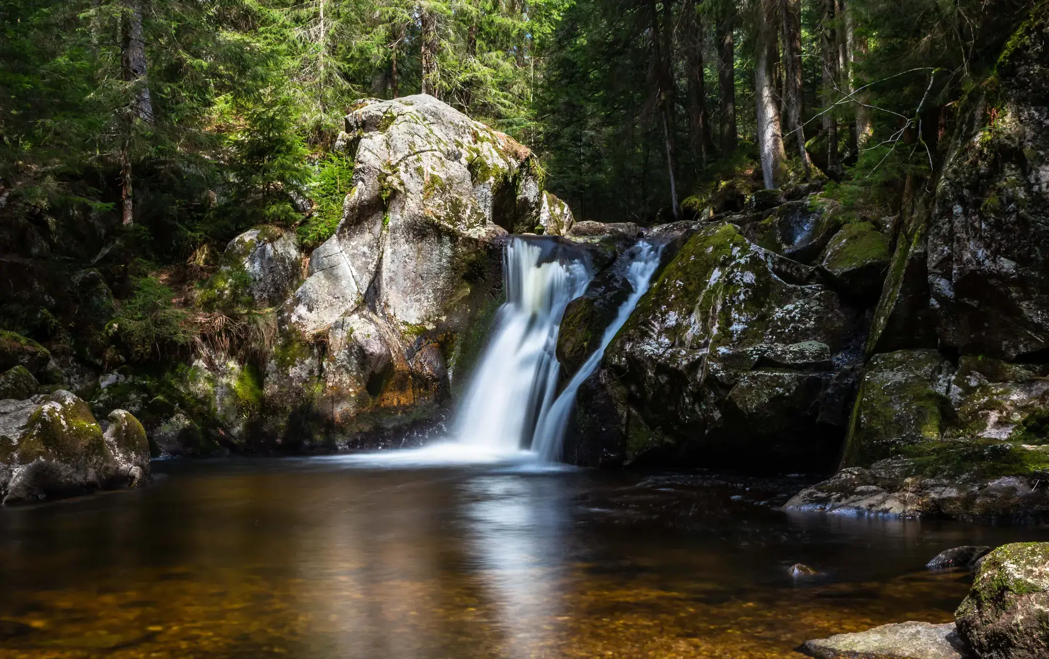
Hiking, ponds & waterfalls – superb Black Forest swimming spots
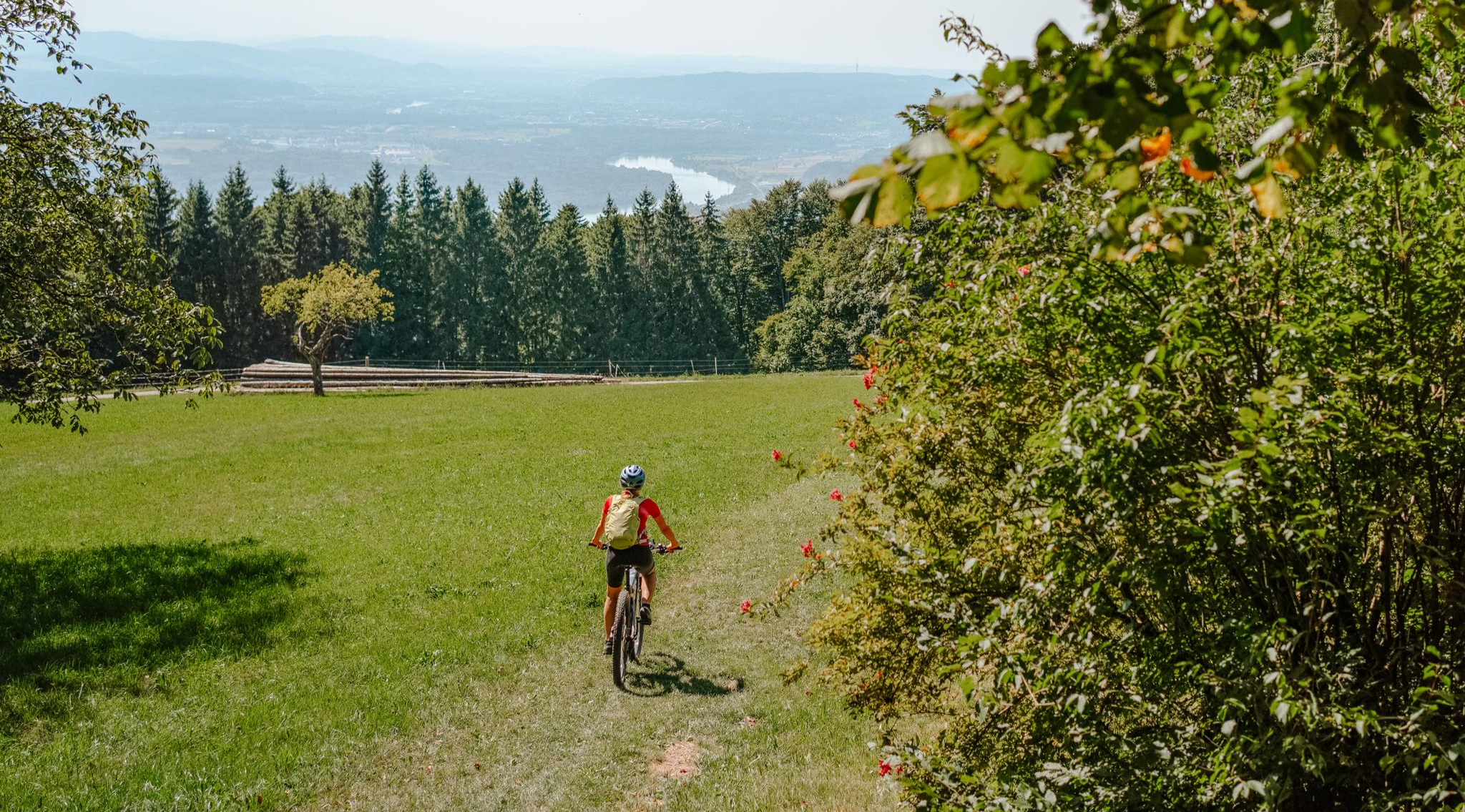
Build your dream ride: Modular biking in the Southern Black Forest
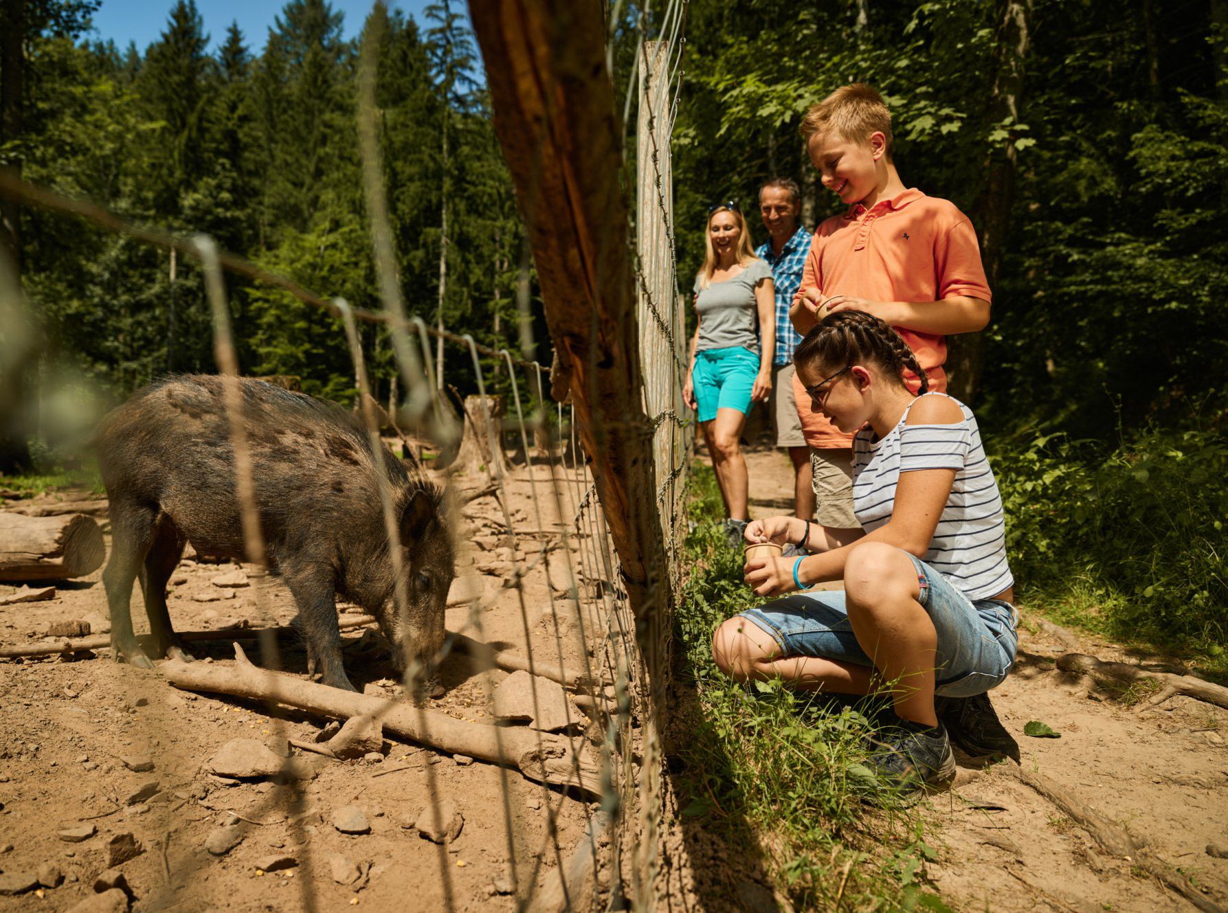
Animal Tours – family hikes in the southern Black Forest
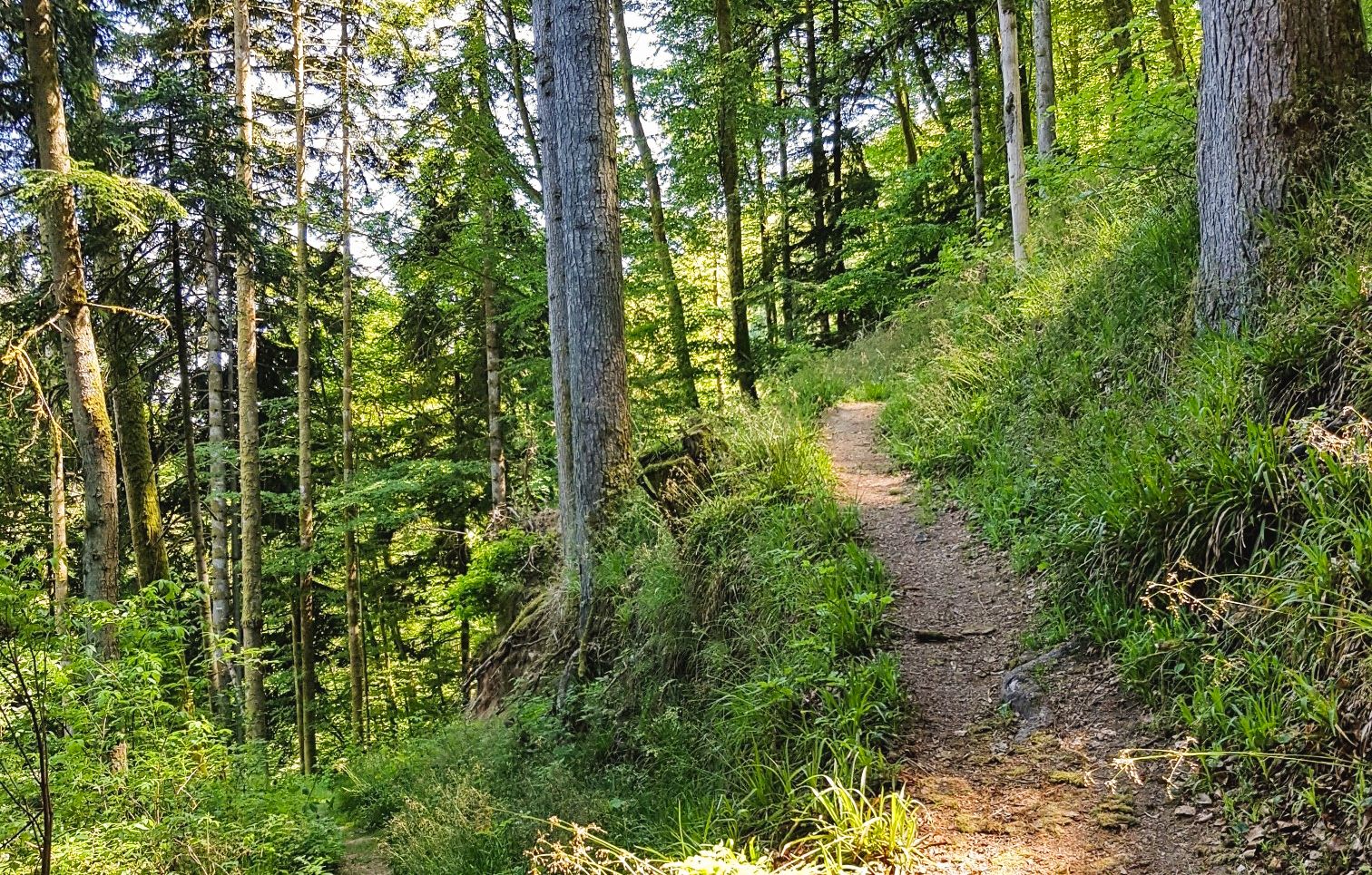
Hotzenwald Querweg trail – two stages in the southern Black Forest
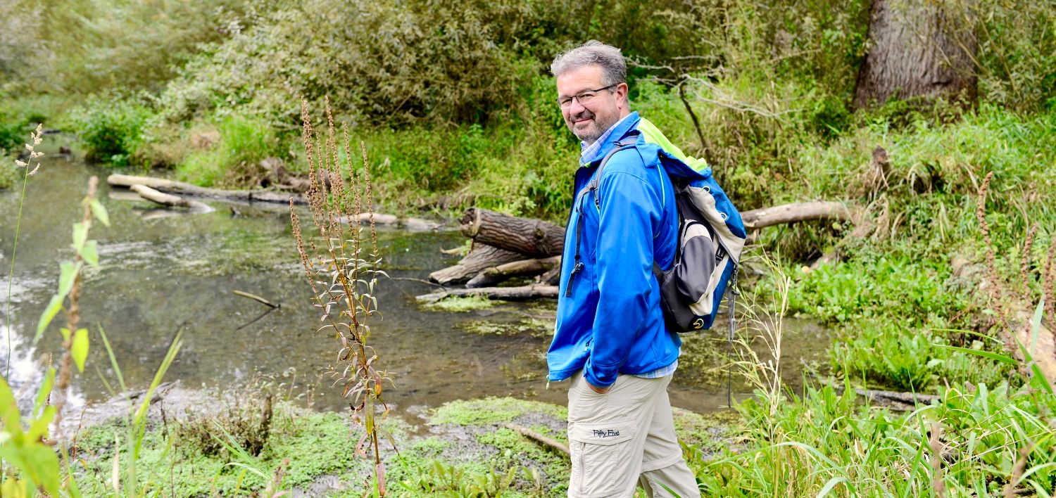
NATOUR-GUIDE — experience living rivers
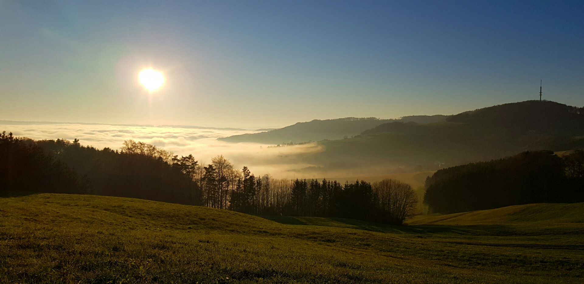
Die Schönheit des Herbstes – Wanderungen im Südschwarzwald
Traffic-free bike rides around Herrischried

Traffic-free bike rides around Herrischried
Other adventures around Herrischried


Tips from the Community

The Murgtal-Schluchtweg leads through an impressive landscape with steep rock faces, dense forest, and the rushing Murg. A varied section where you can experience the wild side of the Black Forest particularly intensely. Ideal for everyone who likes to be out in nature.
0
0

The Dinkelberg trails are simply beautiful!
0
0


The Hohe-Flum Tower stands on the highest point of the Dinkelberg, at 535 meters above sea level. The 13.5-meter-high tower was built in 1874. Sixty-two steps lead up to the platform. From there, one has a magnificent panoramic view in all directions. To the south, one can see the Swiss Jura plateau and, in good weather, the Alps beyond. To the west, the view extends to the Vosges Mountains, and to the north and east, to the Black Forest. The Entegast, Zeller Blauen, Hohe Möhr, and other peaks are also visible.
5
0

Beautiful along the meadow
0
1
The tunnel on the Murg Valley Trail between Hottingen and Murg is a real highlight: mysterious, cool on hot days, and with a special atmosphere. It adds variety to the tour and turns the trail into a mini-adventure—perfect for photos and a short break in the shade.
1
0

a great bike path,
0
0

The Klausenhof Open-Air Museum in the Hotzenwald Forest is a must-see for anyone who wants to experience history up close. The original, thatched-roof Hotzenhaus, dating from 1424, has been carefully rebuilt at its current location and conveys authentic life in the Southern Black Forest of past centuries. On-site, you can experience an exciting audio tour with ten stops via QR code. In addition to historical insights, the Klausenhof also offers events, markets, and even weddings with a unique atmosphere. Check out the website before your visit for more information: https://www.hotzenwald-schwarzwald.de/p/freilichtmuseum-klausenhof?_fwdid=25
1
0
Frequently Asked Questions
How many no-traffic gravel bike trails are available in Herrischried?
Herrischried offers a robust network of over 30 dedicated no-traffic gravel bike trails. While many are rated as difficult, there are also moderate options available, providing a diverse range of experiences for gravel biking enthusiasts.
What kind of terrain can I expect on Herrischried's gravel bike trails?
The gravel bike trails in Herrischried are characterized by hilly terrain, dense forests, and open meadows, often featuring an interplay between forest and flowering landscapes. You'll primarily ride on gravel paths, with some sections including moors and unique bog landscapes, particularly around the 'Kirchspielwald - Ibacher Moos' nature reserve. The elevation ranges from 850 to 1050 meters above sea level, ensuring varied and engaging rides.
Are there any family-friendly no-traffic gravel bike routes in Herrischried?
While many routes are rated as difficult, the region does offer options suitable for beginners and families. For instance, a circular tour from Herrischried up to the Ödland, reaching 1000 meters above sea level, is mainly on paved paths with some challenging sections and is considered ideal for beginners. This route often features around 75% gravel paths, making it a good introduction to the area's gravel biking.
What are some notable viewpoints or attractions along the gravel bike trails?
Many routes offer stunning views and pass by interesting landmarks. You can find panoramic vistas from the Hohe-Möhr-Turm or the Lehenkopf Tower. The Great Höllbach Waterfall and Todtmoos waterfalls are striking natural landmarks you might encounter. Additionally, the Wieladingen Castle Ruins offer a glimpse into the region's history.
Are there any circular gravel bike routes around Herrischried?
Yes, many of the no-traffic gravel bike trails in Herrischried are designed as loops, allowing you to start and end at the same point. An example is the challenging Gersbach Baroque Redoubt – View of the Rhine Valley loop from Todtmoos, which offers expansive views over 39.6 km.
What do other gravel bikers enjoy most about the trails in Herrischried?
The komoot community highly rates the gravel bike trails in Herrischried, with an average score of 4.6 stars from over 80 reviews. Riders frequently praise the diverse landscapes, the quiet, traffic-free nature of the paths, and the rewarding views, especially those overlooking the Rhine Valley and even the Swiss Alps.
What is the best time of year for gravel biking in Herrischried?
The Southern Black Forest and Hotzenwald region, including Herrischried, is generally best for gravel biking from spring through autumn. During these seasons, the weather is more stable, and the 'interplay between forest and flowering meadows' is at its most vibrant. While winter offers skiing, some gravel trails might be covered in snow or ice, making them less suitable for biking.
Are there any long-distance gravel bike routes available?
Yes, Herrischried offers several longer gravel bike routes for those seeking an extended adventure. For example, the Tiergrüble Hut – Todtnauerli Railway Trail loop from Taubenmoos covers nearly 40 km with significant elevation gain, providing a challenging and rewarding long-distance experience.
Where can I find parking for gravel biking in Herrischried?
Herrischried and its surrounding villages, such as Todtmoos and Rickenbach, typically offer designated parking areas for outdoor enthusiasts. It's advisable to check local signage upon arrival, especially near trailheads or popular starting points, to ensure proper parking.
Can I reach the gravel bike trails using public transport?
Herrischried is part of the Southern Black Forest region, which has public transport connections. While direct access to every trailhead might require some planning, buses often connect the main villages. For specific routes, such as those starting from Todtmoos, public transport can be a viable option to reach the starting point.
Are there any cafes or restaurants near the gravel bike trails for a break?
Yes, the villages in the Herrischried region, including Herrischried itself and nearby Todtmoos, offer various cafes and restaurants where you can take a break and refuel. Many routes pass through or near these villages, providing convenient stops for refreshments and local cuisine.
Most popular routes around Herrischried
Most popular attractions around Herrischried

Get inspired with the komoot mobile app


Explore more
Browse the best Gravel rides in other regions.
