The best traffic-free bike rides around Kall
4.6
(205)
4,241
riders
38
rides
No traffic road cycling routes around Kall traverse a varied landscape within Germany's Eifel region, characterized by rolling hills, dense forests, and picturesque river valleys. The area features a robust network of paved paths, offering diverse terrain from gentle rides along the Rur River to more demanding climbs. Cyclists can explore routes that wind through ancient volcanic landscapes and meadow orchards, providing a rich natural experience.
Best no traffic road cycling routes around Kall
- The most popular no traffic road…
Last updated: May 14, 2026
21
riders
103km
04:54
1,160m
1,160m
Hard road ride. Very good fitness required. Mostly well-paved surfaces and easy to ride.
5.0
(2)
15
riders
Moderate road ride. Good fitness required. Some segments of this route may be unpaved and difficult to ride.

Sign up for free
9
riders
89.1km
04:43
1,540m
1,540m
Hard road ride. Very good fitness required. Some segments of this route may be unpaved and difficult to ride.
4.0
(1)
10
riders
38.1km
01:45
410m
410m
Moderate road ride. Good fitness required. Mostly well-paved surfaces and easy to ride.
6
riders
Moderate road ride. Good fitness required. Mostly well-paved surfaces and easy to ride.
Get access to more routes and recommendations from other explorers.
Sign up for free
Already have an account?
Our route recommendations are based on thousands of hikes, rides, and runs completed by other people on komoot.
Start today with a free account
Your next adventure awaits.
Login or Signup
Popular around Kall
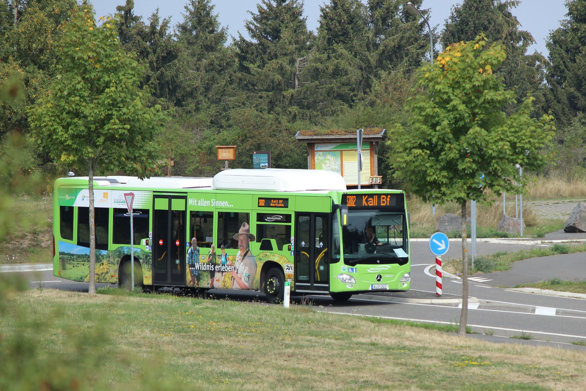
Next stop: Wilderness! – Germany’s Eifel National Park by public transport
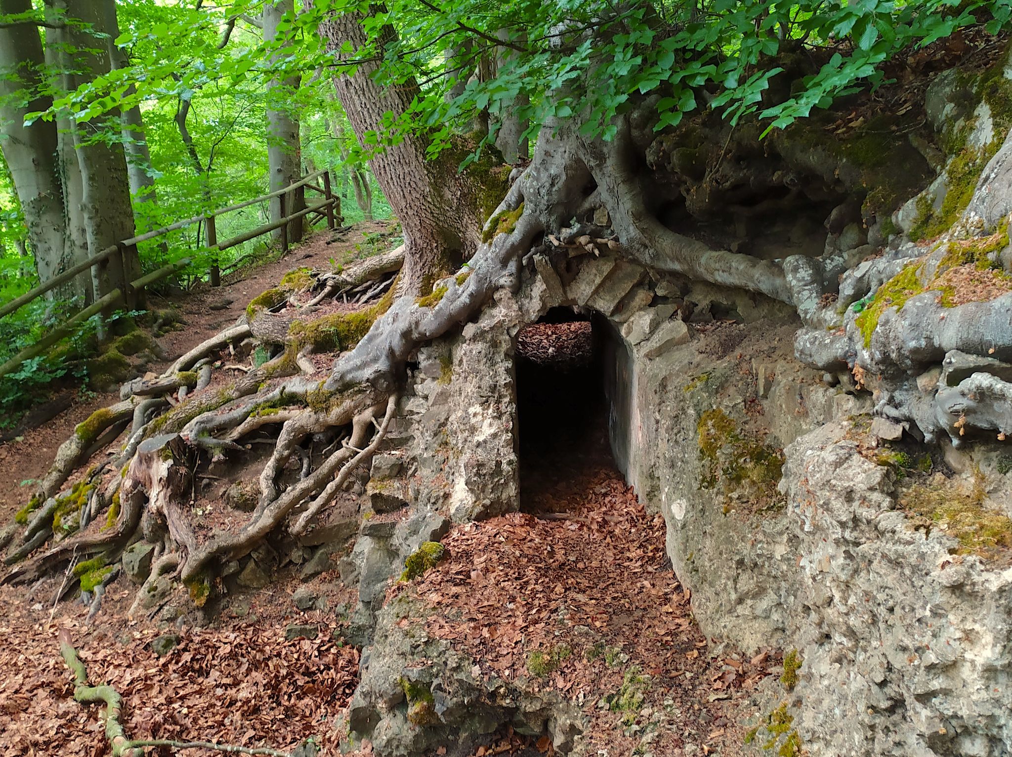
Hike from Cologne to the Eifel – Roman Canal Trail
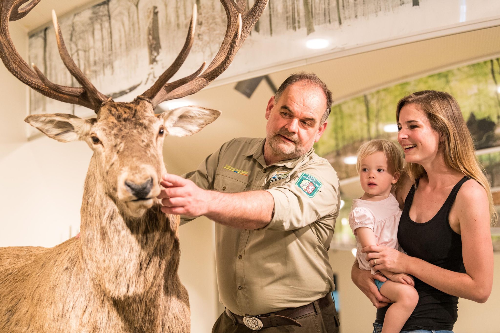
Eifel National Park information centres and facilities
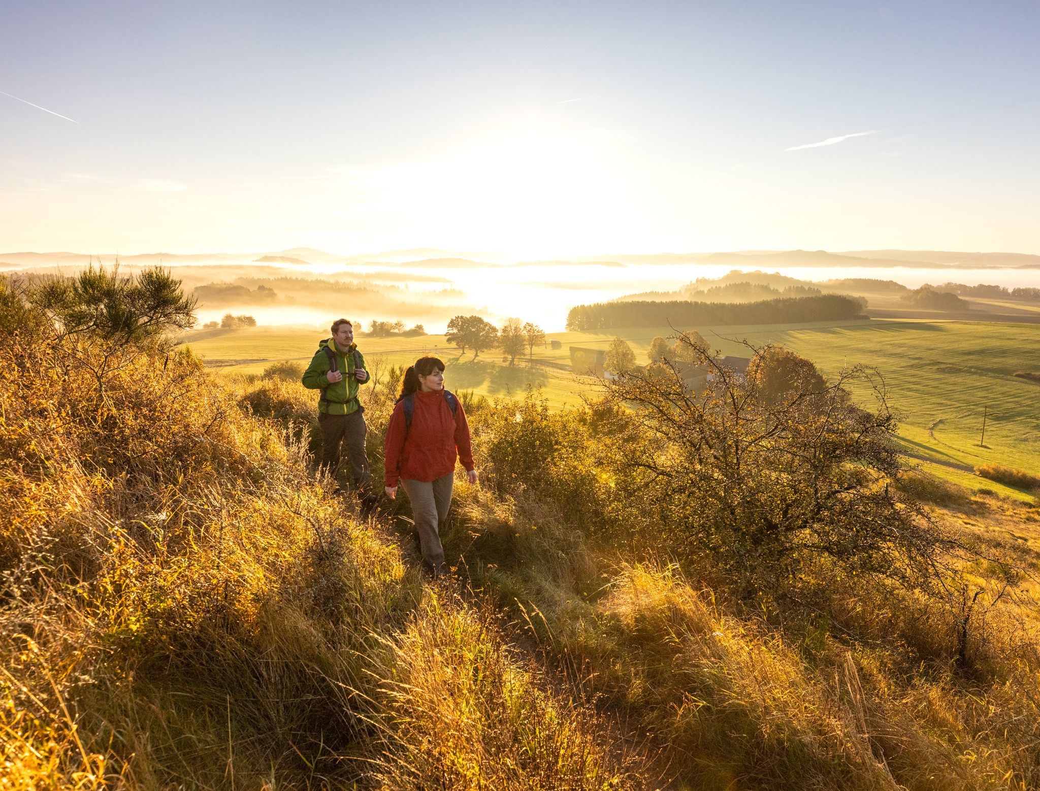
The 15 stages of the Eifelsteig Trail — Between rocks and water
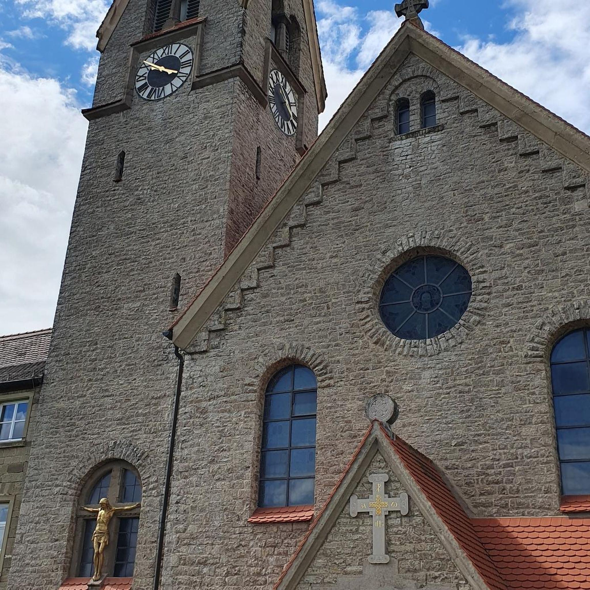
Traffic-free bike rides around Kall

Traffic-free bike rides around Kall
Other adventures around Kall


Tips from the Community

Saint John of Nepomuk was a priest (Vicar General of the Archbishop) in Bohemia who died a martyr's death in Prague in 1393. On royal command, he was thrown from the Charles Bridge in Prague into the Vltava River and drowned. His statue can still be found on or near many bridges today – here in the town of Blankenheim, twice in close proximity to the source of the Ahr River. He is considered not only a popular "bridge saint" but is also the patron saint of the seal of confession. In many depictions of him, he holds a cross in one hand, and with the other, he sometimes places a finger on his lips as a sign of silence (about what was heard during confession). The feast day of Saint John of Nepomuk in the calendar of saints is on March 20th.
1
0

The Vennbahn is one of the longest cycle paths along disused railway lines in Europe. It leads through 3 countries, is completely asphalted and has only slight inclines. Nature, borderland flair and Vennbahn stories accompany this 125 km long tour.
0
0

rtseite Schloss Schmidtheim Schloss Schmidtheim Dahlem The castle is picturesquely situated amidst green spaces and is surrounded by a moat. Today, the castle is not only an important landmark of the region but also a cultural venue. The architecture of the castle combines elements of the Renaissance and Baroque, making it a fascinating example of the region's architectural history.
0
0

The water is drinkable, but it doesn't always run.
0
0

"John of Nepomuk or John of Pomuk (Latin: Joannes de Pomuk, Czech: Jan Nepomucký or Jan z Pomuka, * c. 1350 in Pomuk near Pilsen; † March 20, 1393 in Prague) was a Bohemian priest and martyr. He was canonized by Pope Benedict XIII in 1729 and is considered the "bridge saint" and patron of the seal of confession. Along with crosses and depictions of the Virgin Mary, sculptures of Saint Nepomuk are the most commonly found Christian stone figures outside of church buildings in the open countryside in Catholic areas of southern Germany, Bohemia, Moravia, and Austria. Statues of the saint are often found on or next to bridges. The most famous of these, created by Johann Brokoff in 1683, is located on Prague's Charles Bridge at the spot where the saint was thrown into the Vltava River. " https://de.wikipedia.org/wiki/Johannes_Nepomuk "... John of Nepomuk lived from about 1350 to 1393. He died as punishment by being thrown from the Charles Bridge into the Vltava River and drowned. As a bridge saint, his statue stands on many bridges in Europe. ..." 👉 Life and work of John of Nepomuk and further information: https://www.erzbistum-koeln.de/presse_und_medien/magazin/Johannes-Nepomuk-der-Brueckenheilige
3
0

The section near Schmidtheim has been newly asphalted!
0
0

The palace complex was built between the 16th and 18th centuries. The distinctive residential tower was built first. The complex was then expanded to include an outer bailey with a farmyard, two side wings, and a four-part fountain basin in the courtyard. The moats of the former two-part moated palace have now been filled in. The palace is still privately owned by the Count Beissel von Gymnich family. On the southeast wing, a coat of arms for Friedrich Wilhelm Beyssel von Gymnich (born 1638, died 1710) and Maria Magdalena von Metzenhausen (died 1716) is affixed to the exterior. In the outer bailey, a coat of arms is placed above the gateway for Georg Anton Dominikus Beyssel von Gymnich (born 1683, died 1754), Privy Councilor and Chamberlain of the Electorate of Trier, Chief Bailiff of Prüm, Schönecken, and Schönberg, and his second wife, Maria Anna Franziska Ludovika Baroness Raitz von Frentz zu Kendenich. Today, guests can stay overnight in the castle's holiday home and vacation apartment, and they can also have a civil wedding in the Blue Salon. It is also suitable for celebrations and conferences.
1
0

After the outdoor pool closed, the Weiherpark in the North Rhine-Westphalian municipality was left to its own devices – a barely used and inaccessible brownfield site with dilapidated structures emerged near the town center. A park is now being created at the confluence of the Ahr and Giesenbach rivers that blends into the landscape and connects Blankenheim with the surrounding nature. The vision: a spacious, species-rich valley landscape in the immediate vicinity of the town center. The Weiherpark has been rebuilt and redesigned over decades. After the swimming pool closed in 2015, large parts of it remained unused; only the Swan Pond in the center of the park remained accessible. The ideas and wishes of the residents were incorporated into the redevelopment plans. Existing and unused facilities will be demolished and landscaped; The subsequently remodeled terrain will connect to the neighboring valleys, bringing nature directly into the town. The renaturalized Weiherpark will be accessible and accessible for everyone. Thanks to the exposure of the Giesenbach stream, its confluence with the Ahr will become an integral part of the park, creating a connection to the Ahr source in the nearby historic town center. Source: https://die-gruene-stadt.de/ein-gruenes-tal-kehrt-zurueck/
4
0
Frequently Asked Questions
How many no-traffic road cycling routes are available around Kall?
There are over 35 dedicated no-traffic road cycling routes around Kall, offering a wide range of experiences for different fitness levels. You'll find everything from moderate loops to more challenging rides with significant elevation gain.
What kind of terrain can I expect on the no-traffic road cycling routes in Kall?
The routes around Kall traverse a varied landscape, from gentle rides along river valleys like the Rur and Urft to more demanding climbs within the Eifel National Park. You can expect well-paved paths winding through ancient volcanic landscapes, dense forests, and picturesque meadow orchards.
Are there any easy no-traffic road cycling routes suitable for beginners in Kall?
Yes, Kall offers several easier no-traffic road cycling routes. While many are moderate, there are at least 3 routes specifically categorized as easy, perfect for those new to road cycling or looking for a more relaxed ride.
What are some notable attractions or natural features I can see along the no-traffic road cycling routes?
Many routes offer stunning views and pass by significant landmarks. You might encounter the picturesque Rur River Valley, the serene Urftsee created by the Urft Dam, or even cross the impressive Victor-Neels Bridge. The Eifel National Park itself provides a beautiful backdrop of rolling hills and dense forests.
Are there any circular no-traffic road cycling routes available?
Yes, many of the no-traffic road cycling routes around Kall are designed as loops, allowing you to start and finish at the same point. For example, the Schmidtheim Castle – Genfbachtal Cycle Path loop offers a moderate 44.6 km ride, while the Gülichsburg Schwerfen – Schavener Weg loop is a shorter 38.2 km option.
What is the best time of year for no-traffic road cycling in Kall?
The Eifel region, including Kall, is generally excellent for cycling from spring through autumn. The diverse landscapes are particularly beautiful during these seasons. While some routes might be accessible in winter, it's best to check local conditions for ice or snow, especially on higher elevations.
Can I reach Kall and its cycling routes using public transport?
Yes, Kall is conveniently located on the Cologne-Trier railway line, making it easily accessible by train from major cities like Cologne, Trier, and Bonn. There are also cycle and hike train stations in Kall, Scheven, and Urft, facilitating access to various trails.
What do other road cyclists enjoy most about the no-traffic routes in Kall?
The no-traffic road cycling routes in Kall are highly rated by the komoot community, with an average score of 4.7 stars. Reviewers often praise the quiet, well-maintained paths, the stunning natural scenery of the Eifel National Park, and the variety of routes suitable for different fitness levels.
Are there any specific long-distance no-traffic routes or cycle paths around Kall?
Beyond individual loops, Kall is integrated into larger cycling networks. You can explore sections of the Urft valley route or the Eifel Heights Route, which offer extensive car-free or low-traffic cycling opportunities through the region.
Where can I find parking for my car when starting a no-traffic road cycling tour in Kall?
Kall and its surrounding villages, including Scheven and Urft, typically offer designated parking areas for visitors. Given the region's focus on outdoor tourism, you'll often find convenient parking close to trailheads or public transport hubs.
Are there any challenging no-traffic road cycling routes for experienced riders?
Absolutely. For experienced riders seeking a challenge, routes like the Genfbachtal Cycle Path – 12% climb to Rodder loop offer significant elevation gains over nearly 90 km, requiring very good fitness. These routes provide a rewarding workout amidst the Eifel's demanding topography.
Most popular attractions around Kall

Get inspired with the komoot mobile app


Explore more
Browse the best Road cycling routes in other regions.
