The best gravel rides around Kall
4.6
(311)
2,064
riders
122
rides
Gravel biking around Kall offers diverse landscapes within the Eifel National Park, characterized by a network of trails that traverse hills, forests, and open areas. The region features prominent natural elements such as the Rursee, Freilinger Lake, and the Urft River with its reservoir, providing varied backdrops for rides. Riders encounter a mix of surfaces, including paved sections, unpaved roads, and challenging singletracks, often with significant elevation changes. This combination of terrain allows for exploration of different areas on a…
Last updated: October 5, 2026
4.6
(57)
310
riders
74.4km
04:33
860m
860m
Hard gravel ride. Very good fitness required. Mostly paved surfaces. Suitable for all skill levels.
4.6
(12)
52
riders
45.5km
02:57
540m
540m
Hard gravel ride. Very good fitness required. Mostly paved surfaces. Suitable for all skill levels.

5.0
(1)
17
riders
99.9km
06:16
1,280m
1,280m
Hard gravel ride. Very good fitness required. Mostly paved surfaces. Suitable for all skill levels.
3.0
(1)
9
riders
32.7km
02:39
660m
660m
Hard gravel ride. Very good fitness required. You may need to push your bike for some segments of this route.
4.7
(12)
77
riders
53.0km
03:19
670m
670m
Hard gravel ride. Very good fitness required. Mostly paved surfaces. Suitable for all skill levels.
Get access to more routes and recommendations from other explorers.
Already have an account?
Our route recommendations are based on thousands of hikes, rides, and runs completed by other people on komoot.
Start today with a free account
Your next adventure awaits.
Popular around Kall
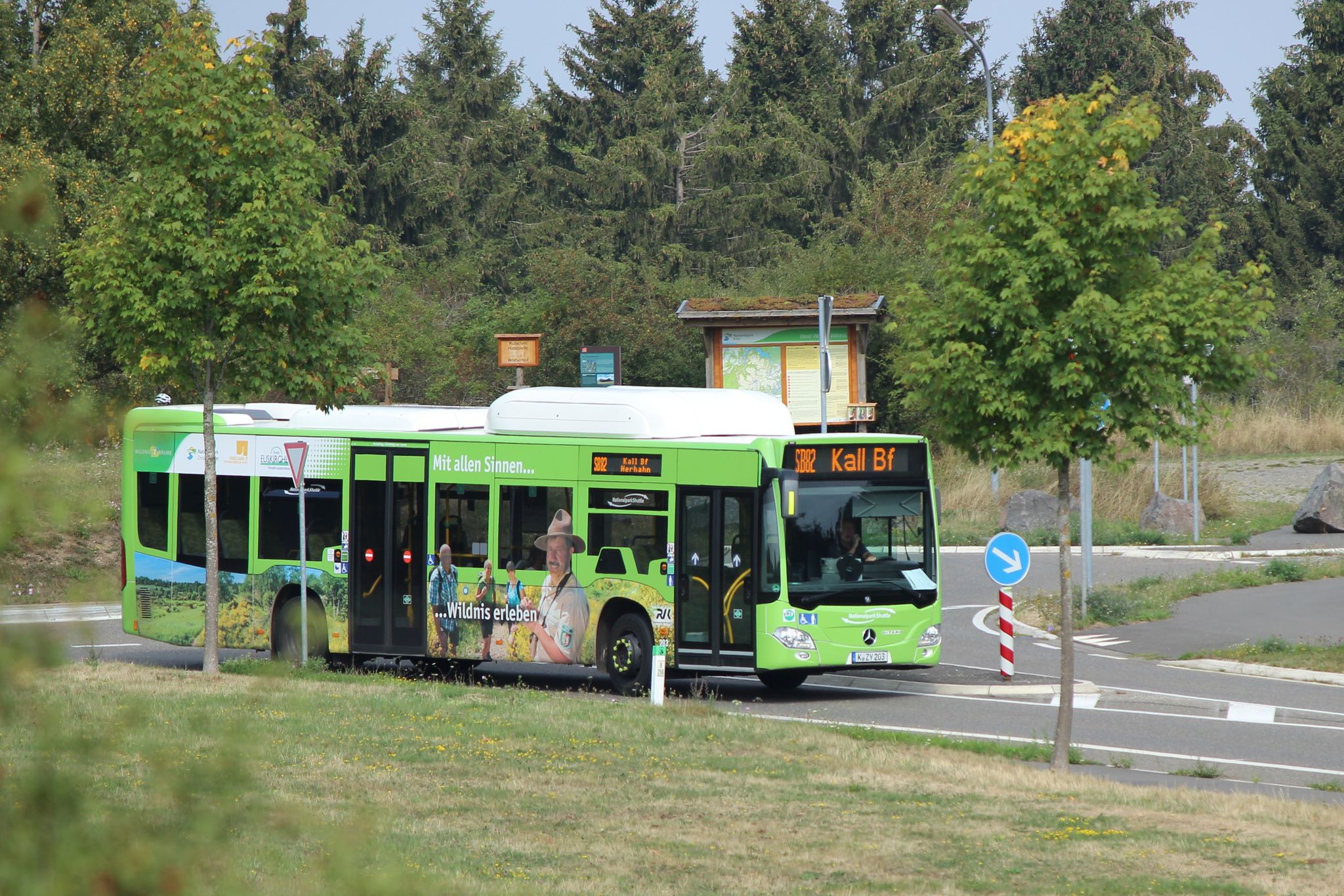
Next stop: Wilderness! – Germany’s Eifel National Park by public transport
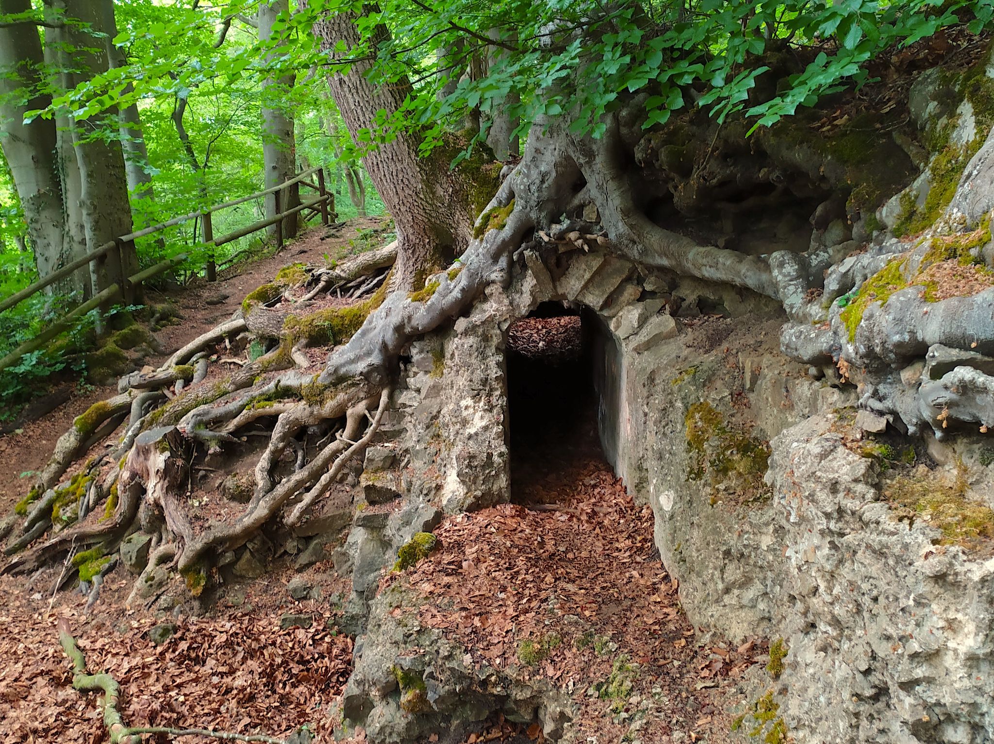
Hike from Cologne to the Eifel – Roman Canal Trail
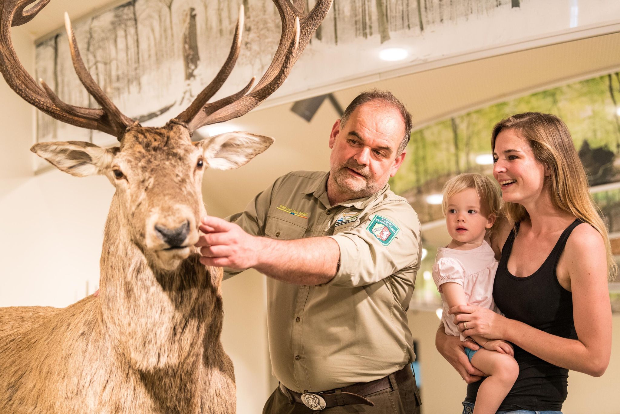
Eifel National Park information centres and facilities
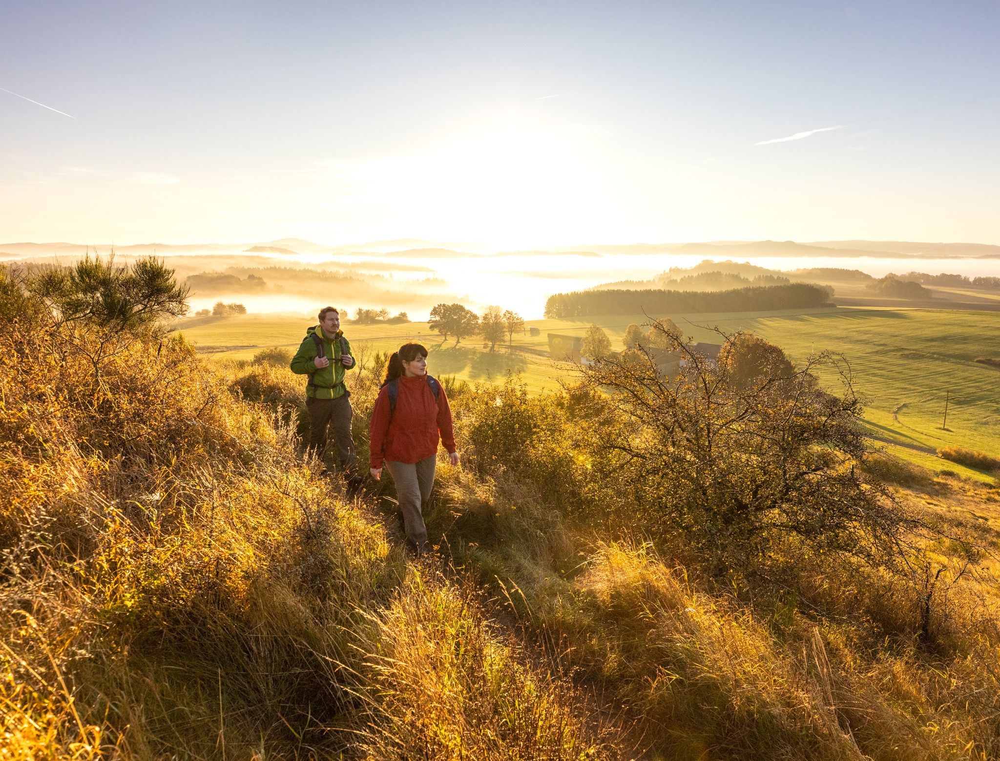
The 15 stages of the Eifelsteig Trail — Between rocks and water
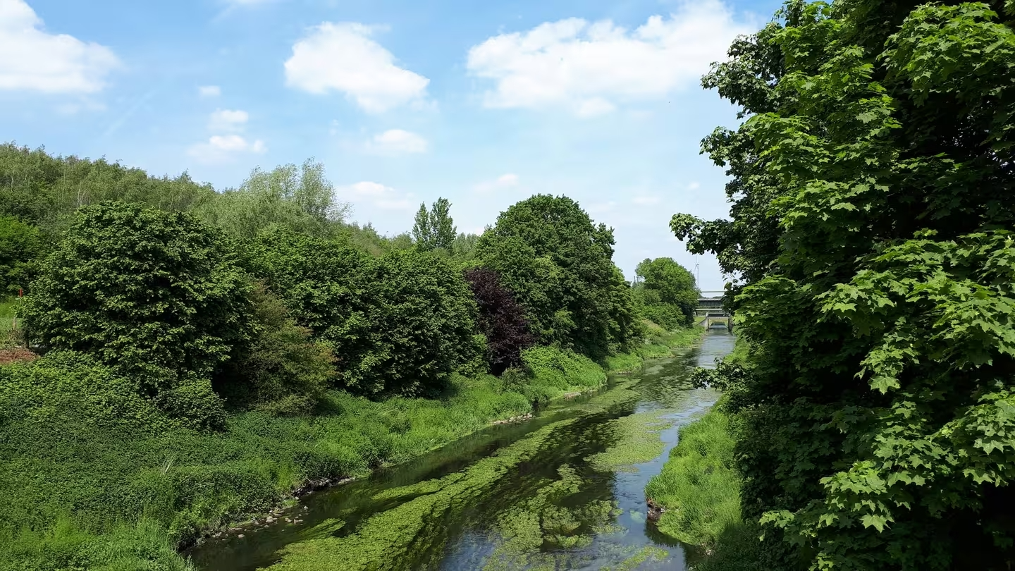
Stadt aus, Natur an in NRW – Mit Magnesium-Diasporal®
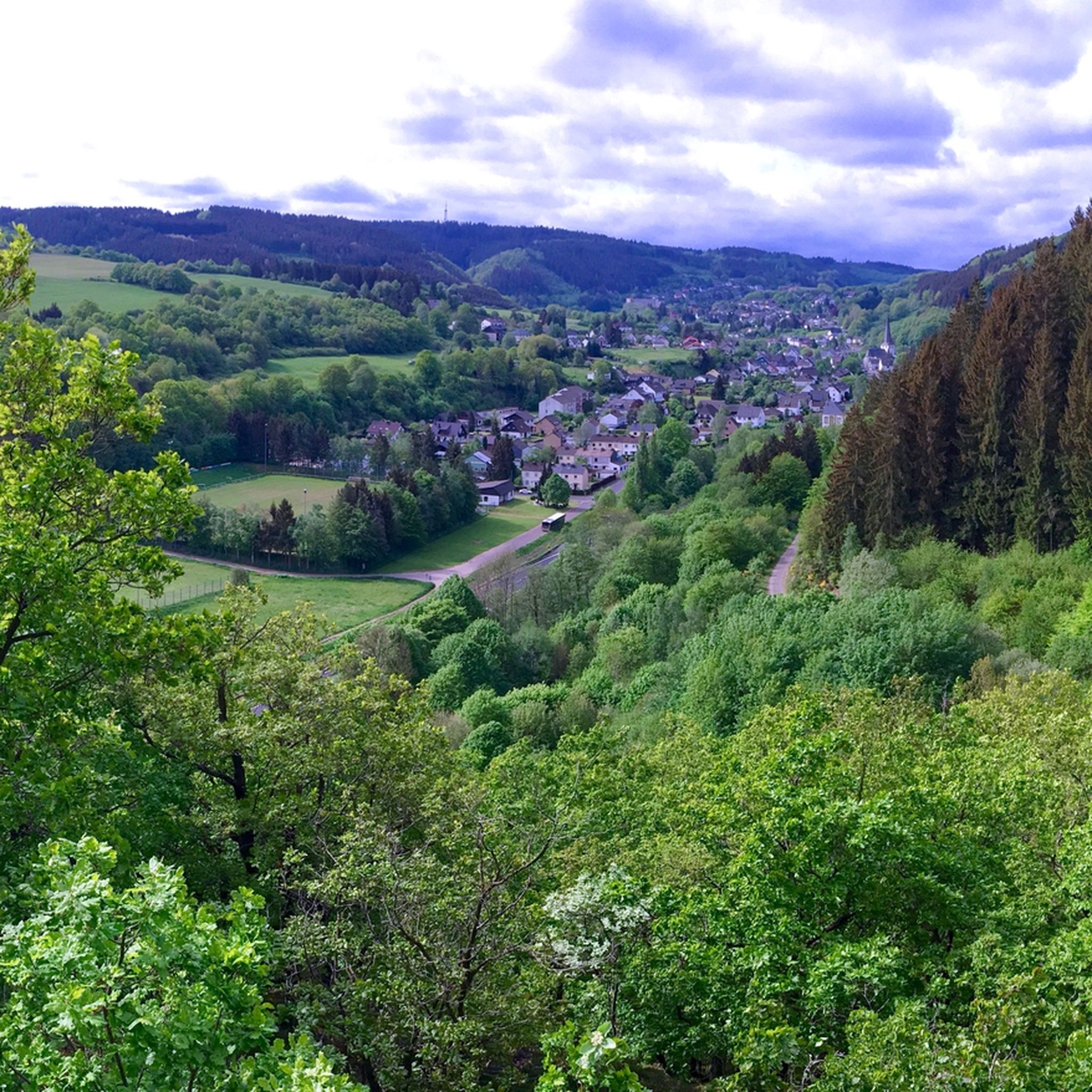
Hiking around Kall
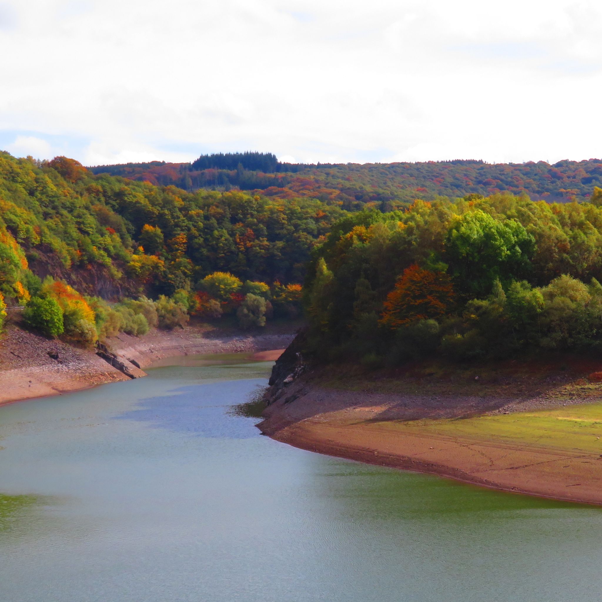
Cycling around Kall
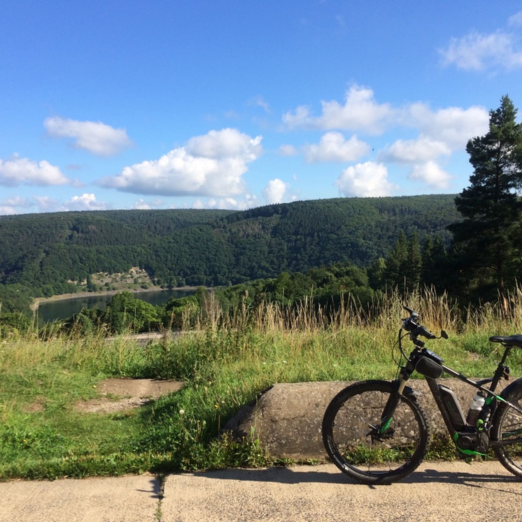
MTB Trails around Kall
Road Cycling Routes around Kall
Running Trails around Kall
Other adventures around Kall


Tips from the Community

Super backdrop for beautiful pictures.
0
0
Wonderful routes invite you to linger for hours.
0
0

For cyclists, the path might be quite nice, but for hiking, it's rather monotonous
0
0
The Urft originates in the Nordeifel in the Hohes Venn-Eifel Nature Park at an altitude of approximately 581 m above sea level (NHN). Its source lies in the Dahlem Forest, 3.8 km west of the Dahlem district of Schmidtheim and 2.3 km (both as the crow flies) northwest of the Dahlemer Binz airfield. The various spring streams of the source hollow first gather in the Urftweiher, which lies 1.5 km west of Schmidtheim at an altitude of 537 m above sea level (NHN). The Urft is first visible as a river body after the Urftweiher. Source: Wikipedia
0
0

Simply beautiful for cycling and hiking. The path along the Urft reservoir is wide enough for everyone and there are always beautiful views.
1
0

Very beautiful old town with small alleys and quaint shops. There is a lot to discover here.
0
0

It also works with a road bike if necessary. In any case, it's better than the parallel race track (cars and mopeds) from Einruhr to Vogelsang. You should have a repair kit with you just in case.
0
0
From here you have a beautiful view of the juniper heath near Alendorf.
1
0
Frequently Asked Questions
How many gravel bike trails are available in Kall?
Kall offers a wide selection of gravel biking opportunities, with over 25 distinct routes to explore. These trails cater to various skill levels, including 10 moderate and 16 difficult options.
What kind of terrain can I expect on gravel bike trails around Kall?
The gravel bike trails around Kall traverse diverse landscapes within the Eifel National Park, featuring a mix of surfaces. You'll encounter everything from paved sections and unpaved roads to challenging singletracks, often with significant elevation changes. The region is characterized by hills, forests, and open areas, providing varied backdrops for your rides.
What do other gravel bikers enjoy most about the trails in Kall?
The gravel biking routes in Kall are highly rated by the komoot community, with an average score of 4.6 stars from over 250 reviews. Riders often praise the diverse terrain, the scenic views of lakes like the Rursee, and the well-maintained network of trails that allow for exploration of the Eifel National Park.
Are there any circular gravel bike routes in Kall?
Yes, many of the gravel bike routes in Kall are designed as loops, allowing you to start and end in the same location. For example, the Rursee Loop Trail – Benches with a View of the Rursee loop from Scheven and the Victor-Neels Bridge – View of Einruhr loop from Kall are popular circular options.
What natural features or scenic views can I expect on the gravel bike trails?
Kall's gravel trails are renowned for their natural beauty. You can expect picturesque views of prominent lakes like the Rursee and Freilinger Lake, as well as the Urft River and its reservoir. Many routes offer specific viewpoints, such as the 'Benches with a View of the Rursee' on the Rursee Loop Trail, or vistas of Einruhr from the Victor-Neels Bridge. The region is part of the Eifel National Park, ensuring a rich natural experience.
Are there any interesting landmarks or attractions near the gravel bike routes in Kall?
Yes, there are several interesting natural and historical attractions nearby. You can explore fascinating geological formations like the Kakus Cave and Kartstein Cliffs or the Kakushöhle Cave. The area also features impressive structures such as the Urft Dam and the Victor-Neels Bridge, which often provide scenic viewpoints along the trails.
Are there challenging gravel bike routes for experienced riders in Kall?
Absolutely. Kall is an excellent destination for experienced gravel bikers seeking a challenge. Many routes are classified as 'difficult' due to significant elevation gains and varied terrain, including singletracks. The Freilinger Lake – St. Jodokus Chapel Lommersdorf loop from Kall, for instance, covers nearly 100 km with over 1200 meters of elevation gain, requiring good to very good fitness.
When is the best time of year to go gravel biking in Kall?
The Eifel region, including Kall, is generally pleasant for gravel biking from spring through autumn. Spring offers lush greenery, while autumn provides vibrant foliage. Summer is also great, but be prepared for potentially warmer temperatures. Always check local weather conditions before heading out, especially for rain which can affect trail surfaces.
Are there cafes or pubs along the gravel bike trails in Kall?
While specific cafes and pubs directly on every trail can vary, the region around Kall is well-equipped with towns and villages where you can find refreshments. Many routes pass through or near communities where you can stop for a break, a meal, or a drink. It's always a good idea to plan your route and check for amenities in advance.
How can I access the gravel bike trails in Kall using public transport?
Kall is accessible by public transport, particularly by train, making it a convenient starting point for many routes. The train station in Kall provides good connections to the wider region. From there, you can often cycle directly to the start of various trails. For specific route access, consult local public transport schedules and maps.
Where can I park my car when gravel biking in Kall?
Parking is generally available in and around Kall, especially in the town center and at popular trailheads or points of interest. Many of the routes, such as the View of the Dieter Dam – View of the Olef Reservoir loop from Kall, are designed to be accessible from various starting points, often with designated parking areas nearby. Look for public parking facilities in Kall or smaller villages along your chosen route.
Are there family-friendly gravel bike trails in Kall?
While many routes in Kall are rated as moderate to difficult due to elevation changes, there are sections and shorter loops that can be suitable for families with older children or those comfortable with some varied terrain. Look for routes with less significant elevation gain and smoother surfaces. Always check the route details and difficulty ratings on komoot to ensure it matches your family's capabilities.
Can I bring my dog on gravel bike routes in Kall?
Many gravel bike trails in the Eifel National Park area are dog-friendly, provided your dog is well-behaved and kept on a leash, especially in nature protection zones or near wildlife. Always be mindful of other trail users and local regulations. Ensure your dog is fit enough for the distance and terrain, and carry enough water for both of you.
Most popular attractions around Kall

Get inspired with the komoot mobile app


Explore more
Browse the best Gravel rides in other regions.
