The best hikes from bus stations around Gschwend
4.6
(5786)
18,692
hikers
67
hikes
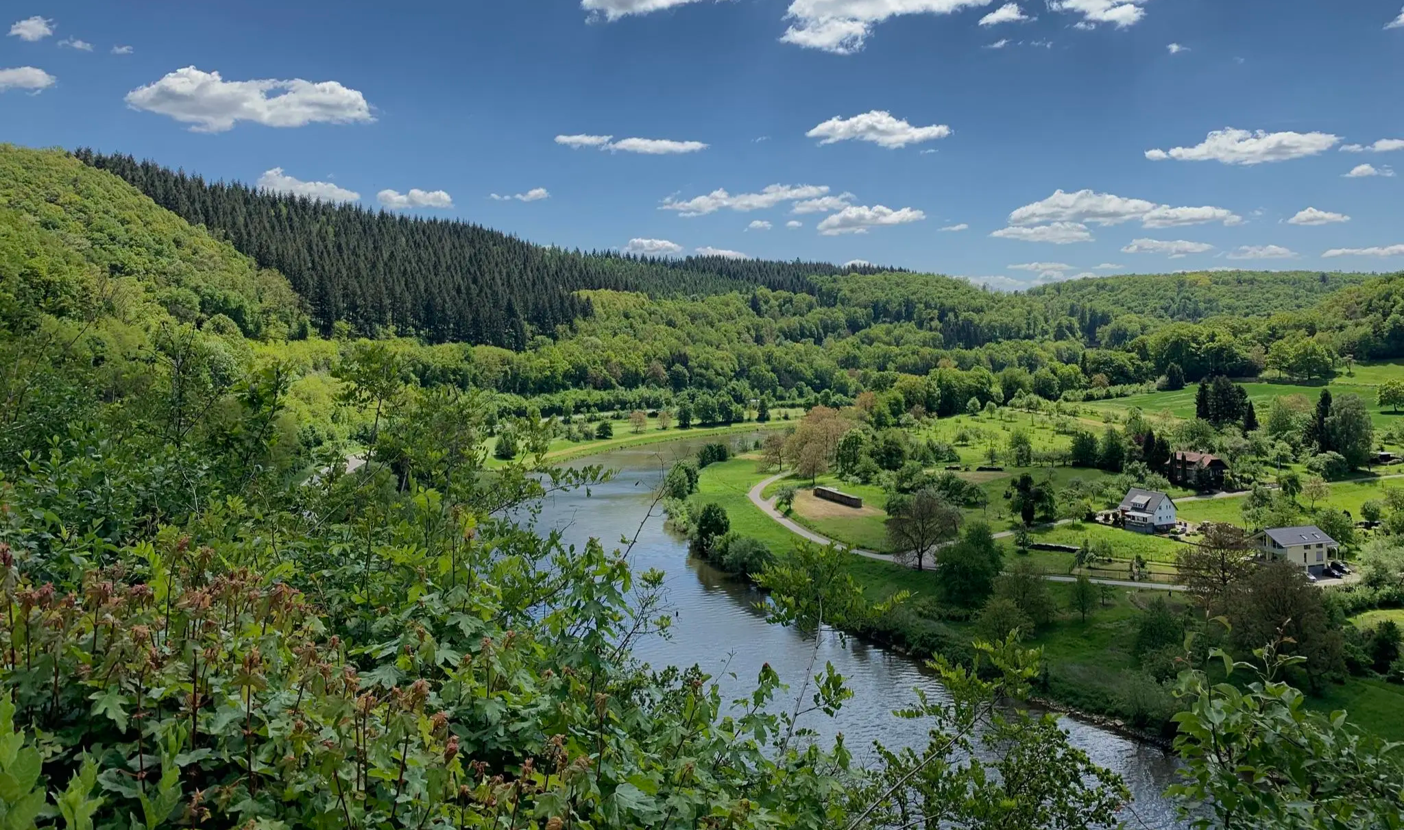
Hiking around Gschwend offers diverse natural features within the Swabian-Franconian Forest Nature Park. The region is characterized by picturesque ravines, rolling hills, and expansive green forests. Natural lakes and historic mills along rushing brooks add to the scenic variety, providing a backdrop for extended routes.
Best bus station hiking trails around Gschwend
- The most popular bus station hiking route is Menzles Mill – Hagberg Observation Tower loop from Wiesentäler bei der Menzlesmühle, an 8.4 miles (13.5 km) trail that takes 3 hours 44 minutes to complete. This moderate route includes panoramic views from the Hagbergturm and passes through the Wiesentäler bei der Menzlesmühle Nature Reserve.
- Another top favourite among local hikers is Frickenhofen Stone Cross – Table of Peace loop from Frickenhofen, a difficult 11.1 miles (17.9 km) path. This route traverses varied terrain, offering insights into the local culture and landscape.
- Local hikers also love the Table of Peace – Devil's Pulpit loop from Frickenhofen, a 4.5 miles (7.3 km) trail leading through intriguing natural formations, often completed in about 1 hour 59 minutes.
- Hiking around Gschwend is defined by dense woodlands, picturesque ravines, and rolling hills, with routes ranging from easy, accessible paths to more challenging ascents. The network offers options for different ability levels, including themed trails and routes featuring historic mills.
- The routes in Gschwend are highly rated by the komoot community with an average score of 4.6 stars from over 5,500 reviews. More than 20,000 hikers have used komoot to explore Gschwend's varied terrain.
Last updated: June 26, 2026
4.8
(60)
189
hikers
Moderate hike. Good fitness required. Easily-accessible paths. Suitable for all skill levels.
4.5
(16)
80
hikers
18.0km
05:04
350m
350m
Hard hike. Very good fitness required. Easily-accessible paths. Suitable for all skill levels.

Sign up for free
4.9
(18)
75
hikers
7.29km
01:59
110m
110m
Easy hike. Great for any fitness level. Easily-accessible paths. Suitable for all skill levels.
4.5
(11)
42
hikers
8.61km
02:23
150m
150m
Moderate hike. Good fitness required. Easily-accessible paths. Suitable for all skill levels.
4.6
(14)
41
hikers
Hard hike. Very good fitness required. Easily-accessible paths. Suitable for all skill levels.
Get access to more routes and recommendations from other explorers.
Sign up for free
Already have an account?
Our route recommendations are based on thousands of hikes, rides, and runs completed by other people on komoot.
Start today with a free account
Your next adventure awaits.
Login or Signup
Popular around Gschwend
Other adventures around Gschwend

Tips from the Community


Seventy Douglas fir trunks form a path that narrows as it ascends. A powerful image of how possessions and worries can obscure our view of the wider world.
0
0
A 16-meter-long table carved from a single Douglas fir trunk. A place for gathering – and a reminder of how precious peace is.
0
0

Nice cold beer. Nice people. You immediately connect. Great.
0
0


A beautiful, idyllic lake with a kiosk. It's always a good place for a quick rest.
0
0

Interesting installations. The Table of Peace and the others are very interesting.
0
0
Frequently Asked Questions
How many bus station hiking trails are available in Gschwend?
There are nearly 70 hiking trails in Gschwend that are easily accessible from bus stations. These routes cater to various fitness levels, with over 35 easy, almost 30 moderate, and a few challenging options.
Are there any family-friendly hiking trails accessible by bus in Gschwend?
Yes, Gschwend offers several family-friendly routes. Many trails are designed with accessible, step-free paths, like parts of the 'Gschwendrunde' mentioned in the region's research, making them suitable for families with children or strollers. Look for easy-rated tours for the most suitable options.
Can I bring my dog on the hiking trails around Gschwend?
Most hiking trails in the Swabian-Franconian Forest Nature Park, including those around Gschwend, are dog-friendly. However, always keep your dog on a leash, especially in nature reserves like the Wiesentäler bei der Menzlesmühle, and be mindful of local regulations and wildlife.
Are there circular hiking routes starting from Gschwend bus stations?
Yes, many of the trails accessible from bus stations in Gschwend are circular routes, allowing you to start and end at the same point. An example is the Menzles Mill – Hagberg Observation Tower loop from Wiesentäler bei der Menzlesmühle, which offers a moderate 13.5 km experience.
What kind of natural attractions can I see along the bus station hiking trails in Gschwend?
Gschwend's trails lead through diverse landscapes within the Swabian-Franconian Forest Nature Park. You can discover picturesque ravines (Klingen), expansive forests, and natural lakes. Keep an eye out for stunning waterfalls like the Front Hörschbach Waterfall or the Strümpfelbach Waterfall, and intriguing rock formations such as the Kesselgrotte (Sandstone Cave).
Are there any challenging hikes accessible by bus in Gschwend?
While Gschwend offers many easy and moderate routes, there are also a few challenging options for experienced hikers. For instance, the Frickenhofen Stone Cross – Table of Peace loop from Frickenhofen is a difficult 17.8 km route with significant elevation changes.
What are some notable landmarks or viewpoints accessible on these trails?
A prominent landmark is the Hagbergturm, which offers magnificent panoramic views over the surrounding countryside. Many routes will lead you to or near such viewpoints, providing rewarding vistas after your hike.
Are there any trails that feature historic mills or cultural sites?
Yes, Gschwend's region is rich in cultural heritage. Several hiking routes specifically feature historic mills along rushing brooks, providing a glimpse into the region's past. The region research mentions a circular route connecting four mills over 9.5 km, offering a blend of nature and history.
What do other hikers enjoy most about hiking in Gschwend?
The komoot community highly rates the hiking experiences in Gschwend, with an average score of 4.6 stars from over 5,500 ratings. Reviewers often praise the tranquil, predominantly wooded landscapes, the well-maintained paths, and the diverse natural features like ravines and waterfalls.
Are there any easy, shorter routes for beginners or a quick walk?
Absolutely. If you're looking for an easier, shorter walk, consider routes like the Table of Peace – Devil's Pulpit loop from Frickenhofen. This easy route covers about 7.2 km and is a great option for beginners or those seeking a less strenuous outing.
Can I find trails with unique natural formations like caves or gorges?
Yes, the Gschwend area is known for its unique geological features. You can explore dramatic ravines (Klingen) and even rock caves. The region is home to intriguing spots like the 'Bear Holes' and the 'Teufelsküche' (Devil's Kitchen) rock cave, offering a sense of adventure and local folklore.
Most popular routes around Gschwend
Most popular attractions around Gschwend

Get inspired with the komoot mobile app


Explore more
Browse the best Hikes in other regions.
