The best road cycling routes around Gschwend
4.3
(547)
4,671
riders
197
rides
Road cycling around Gschwend offers diverse landscapes within the Swabian-Franconian Forest. The region is characterized by rolling hills, dense forests, and serene valleys, providing varied topography for road cyclists. Many routes feature quiet, paved surfaces, making them suitable for road cycling. The area includes both challenging climbs and enjoyable descents across its terrain.
Best road cycling routes around Gschwend
- The most popular road cycling route is Devil's Pulpit – Laubach Castle loop from Frickenhofen, a 40.2 miles (64.7 km)…
Last updated: October 9, 2026
4.5
(2)
37
riders
64.7km
02:56
670m
670m
Moderate road ride. Good fitness required. Mostly well-paved surfaces and easy to ride.
3.0
(1)
32
riders
47.7km
02:08
470m
470m
Moderate road ride. Good fitness required. Mostly well-paved surfaces and easy to ride.

4.8
(6)
22
riders
Moderate road ride. Good fitness required. Mostly well-paved surfaces and easy to ride.
5.0
(1)
16
riders
23.4km
01:02
240m
240m
Easy road ride. Great for any fitness level. Mostly well-paved surfaces and easy to ride.
3.7
(3)
10
riders
42.6km
01:58
500m
500m
Moderate road ride. Good fitness required. Mostly well-paved surfaces and easy to ride.
Get access to more routes and recommendations from other explorers.
Already have an account?
Our route recommendations are based on thousands of hikes, rides, and runs completed by other people on komoot.
Start today with a free account
Your next adventure awaits.
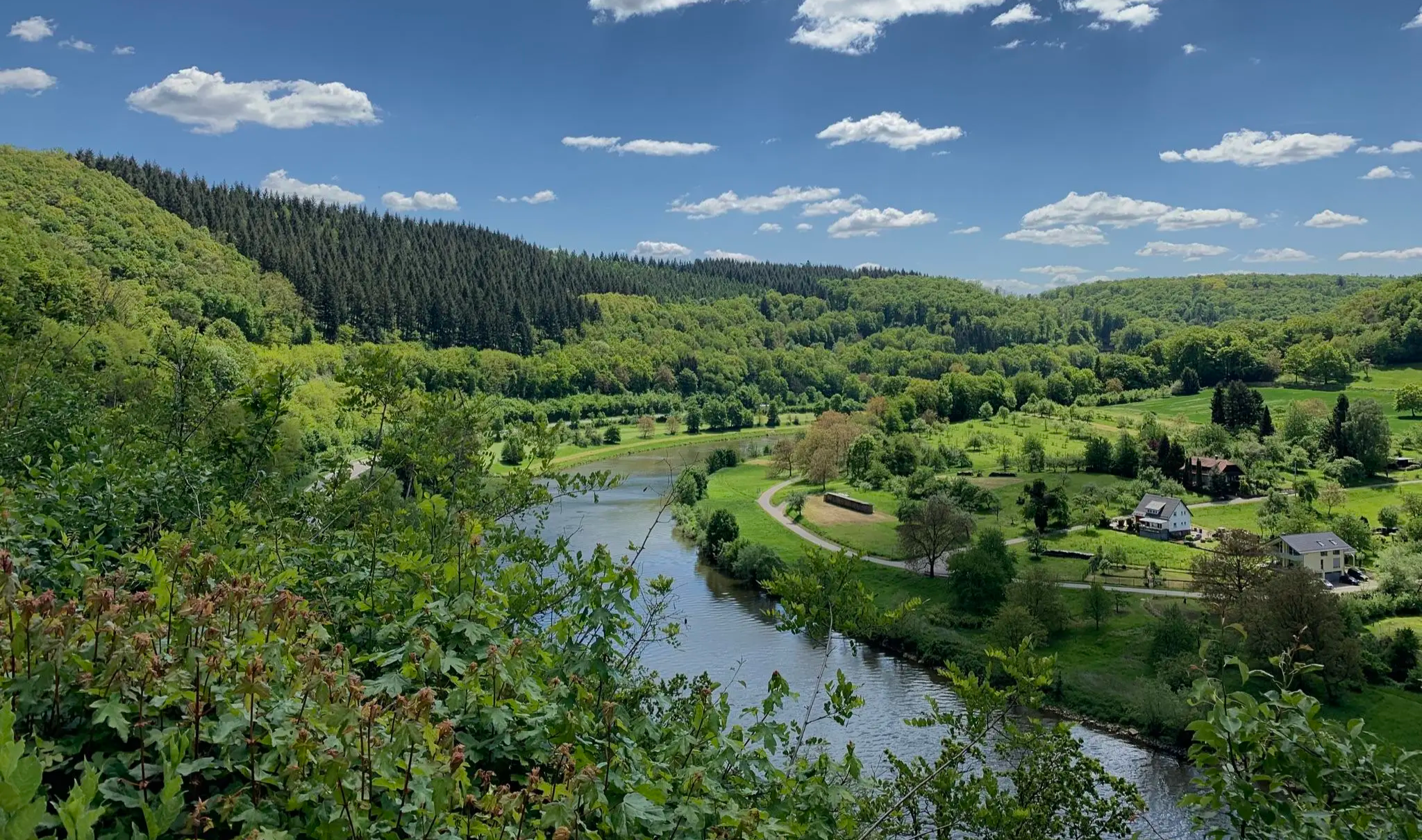
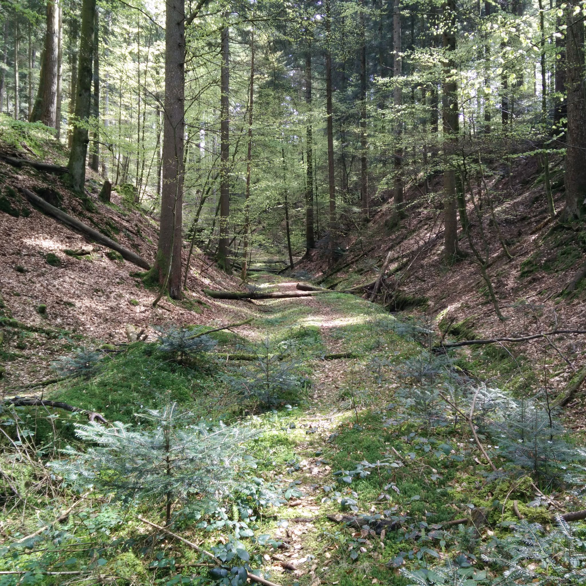
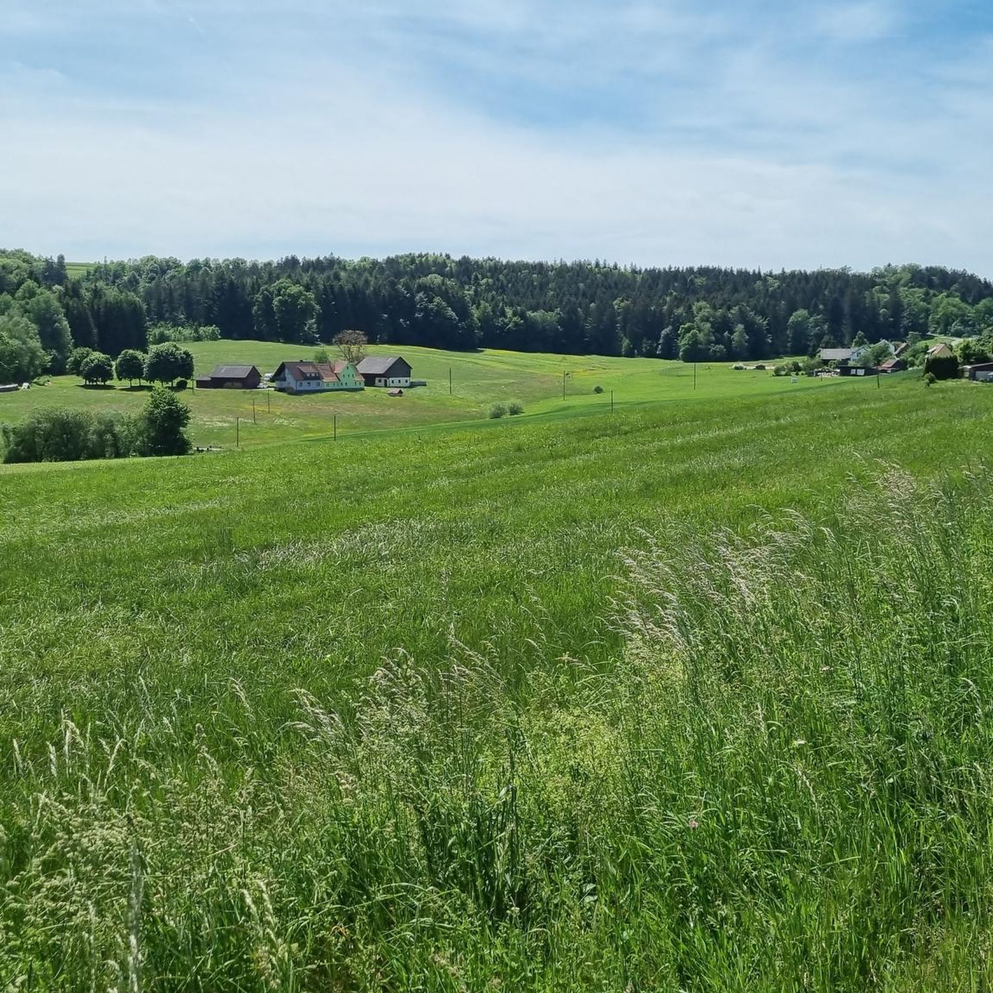
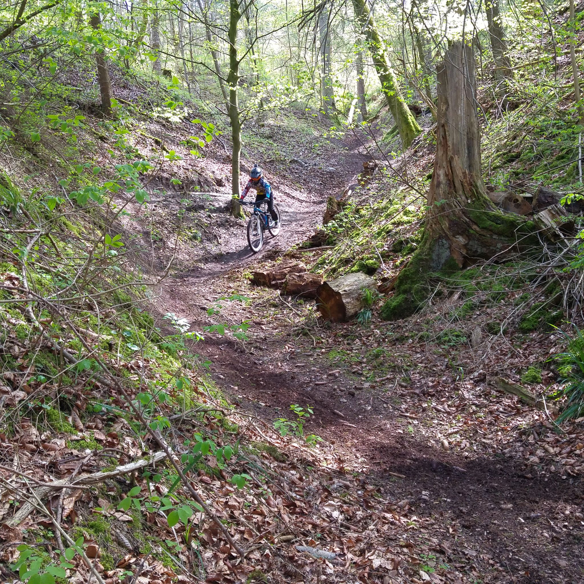

Other adventures around Gschwend

Tips from the Community

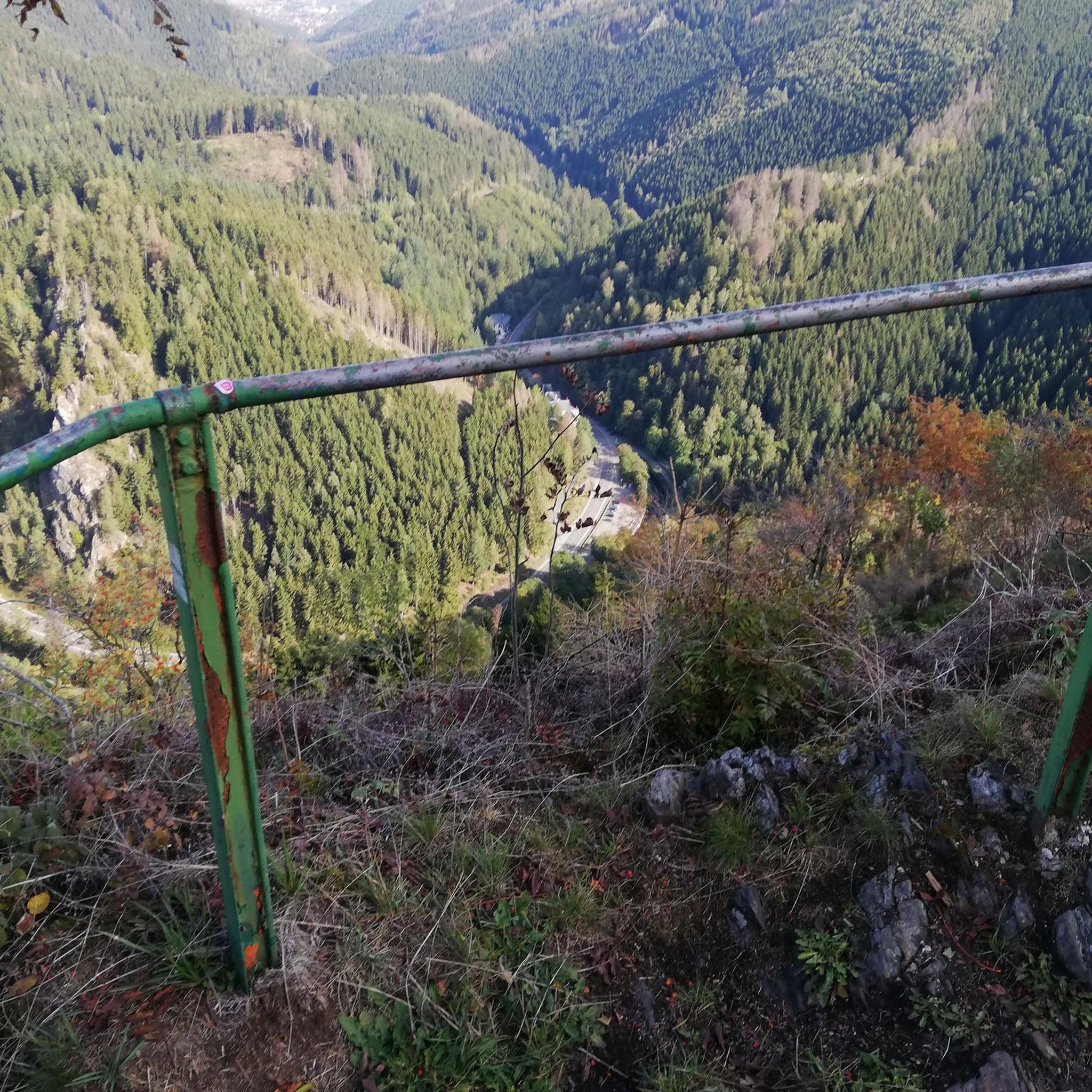
From here you have a fantastic view into the valley.
0
0

One of the higher points in the Swabian Forest with beautiful views also of the Swabian Jura to the south
0
0

Good place for a small snack if open
0
0
There isn't much traffic here.
0
0

Newly paved road on the climb from Buchengehren to Wahlenheim. It's incredibly beautiful to drive now. It used to be a potholed track.
0
0
Absolutely enjoyable to drive. Separated from the road, you can make rapid progress.
0
0
Great panoramic view from here in all directions.
1
0
Great panoramic view from up here.
0
0
Frequently Asked Questions
How many road cycling routes are available around Gschwend?
There are over 10 road cycling routes around Gschwend listed on komoot, offering a variety of options for different skill levels. These routes are highly rated by the komoot community, with an average score of 4.4 stars.
What kind of terrain can I expect when road cycling in Gschwend?
The region around Gschwend, nestled in the Swabian-Franconian Forest, features diverse landscapes with rolling hills, dense forests, and serene valleys. You can expect routes with varied elevation profiles, including both challenging climbs and enjoyable descents, primarily on quiet, paved surfaces.
Are there road cycling routes suitable for beginners or less experienced cyclists?
Yes, Gschwend offers routes for various ability levels. While many routes are moderate, there are at least 2 easy routes available, providing a good starting point for beginners or those looking for a less strenuous ride.
What natural attractions or landmarks can I see while road cycling near Gschwend?
Road cycling routes around Gschwend can lead you past several natural highlights. You might encounter impressive waterfalls like the Front Hörschbach Waterfall, or explore the unique Strümpfelbach Valley Nature Reserve. The area also features several scenic lakes and reservoirs, such as the Täferroter Reservoir.
Are there any good viewpoints along the road cycling routes in Gschwend?
Yes, the region offers several excellent viewpoints. Cyclists can incorporate a stop at the Hagberg Observation Tower, which provides panoramic views of the surrounding landscape, including the Waldenburger Berge and the Hohenloher Ebene.
What is the best time of year for road cycling in Gschwend?
The Swabian-Franconian Forest, where Gschwend is located, is generally pleasant for cycling from spring through autumn. The mild temperatures and vibrant scenery during these seasons make for ideal riding conditions. It's always a good idea to check local weather forecasts before heading out.
Can I reach Gschwend by public transport with my road bike?
While Gschwend is well-connected by road, options for transporting bicycles on public transport can vary. It's advisable to check the specific policies of local bus and train services regarding bicycle carriage, as these can differ by operator and time of day.
Where can I park my car when starting a road cycling tour in Gschwend?
Gschwend serves as an excellent starting point for many routes. Parking options are typically available in and around the town center or near popular trailheads. Look for designated parking areas to ensure a convenient start to your ride.
Are there any circular road cycling routes around Gschwend?
Many of the road cycling routes around Gschwend are designed as loops, allowing you to start and finish in the same location. An example is the Laubach Castle – Hohenstadt Water Tower loop from Gschwend, which offers a scenic circular ride.
What do other road cyclists enjoy most about road cycling in Gschwend?
The area is highly rated by the komoot community, with an average score of 4.4 stars from over 400 reviews. Cyclists often praise the region's diverse landscapes, quiet paved roads, and the combination of challenging climbs and enjoyable descents through the Swabian-Franconian Forest.
Are there any specific routes that offer expansive views?
Yes, for expansive views, consider the View of Fischbachtal – Rottal Valley loop from Herrensee. This moderate route offers broad vistas of the Fischbachtal and Rottal valleys, making for a very scenic ride.
Do I need any special permits for road cycling in the Gschwend area?
Generally, no special permits are required for road cycling on public roads and designated cycling paths in the Gschwend area. However, always respect local regulations, especially when cycling through nature reserves or private land.
Are there any routes that pass by historical sites or castles?
Yes, some routes incorporate historical elements. For instance, the Devil's Pulpit – Laubach Castle loop from Frickenhofen includes a segment near Laubach Castle, offering a glimpse of local history amidst your ride.
Most popular routes around Gschwend
Most popular attractions around Gschwend

Get inspired with the komoot mobile app


Explore more
Browse the best Road cycling routes in other regions.
