The best hikes from bus stations around Germersheim
4.5
(4343)
16,888
hikers
360
hikes
Bus station hiking trails around Germersheim offer diverse landscapes at the confluence of the Rhine River and the Palatinate Forest. The region features picturesque riverine environments with well-maintained paths along the Rhine banks and ecologically intact floodplains. Contrasting with the river, the Palatinate Forest provides wooded hills, while surrounding areas include vineyards and the extensive Bienwald forest. This combination creates varied terrain for outdoor activities.
Best bus station hiking trails around Germersheim
- The most popular bus station hiking route is…
Last updated: September 30, 2026
4.6
(497)
1,394
hikers
14.2km
03:36
40m
40m
Moderate hike. Good fitness required. Easily-accessible paths. Suitable for all skill levels.
4.5
(75)
194
hikers
Moderate hike. Good fitness required. Easily-accessible paths. Suitable for all skill levels.

4.6
(47)
158
hikers
10.8km
02:45
20m
20m
Moderate hike. Good fitness required. Easily-accessible paths. Suitable for all skill levels.
4.5
(49)
173
hikers
Moderate hike. Good fitness required. Easily-accessible paths. Suitable for all skill levels.
4.5
(12)
50
hikers
Moderate hike. Good fitness required. Easily-accessible paths. Suitable for all skill levels.
Get access to more routes and recommendations from other explorers.
Already have an account?
Our route recommendations are based on thousands of hikes, rides, and runs completed by other people on komoot.
Start today with a free account
Your next adventure awaits.
Popular around Germersheim

Hikes from bus stations in Goldgrund

Hikes from bus stations around Bienwald
Hikes from bus stations around Bellheimer Forest
Hikes from bus stations around Hafen Germersheim
Hikes from bus stations around Bellheim

Hikes from bus stations around Jockgrim
Hikes from bus stations around Kandel
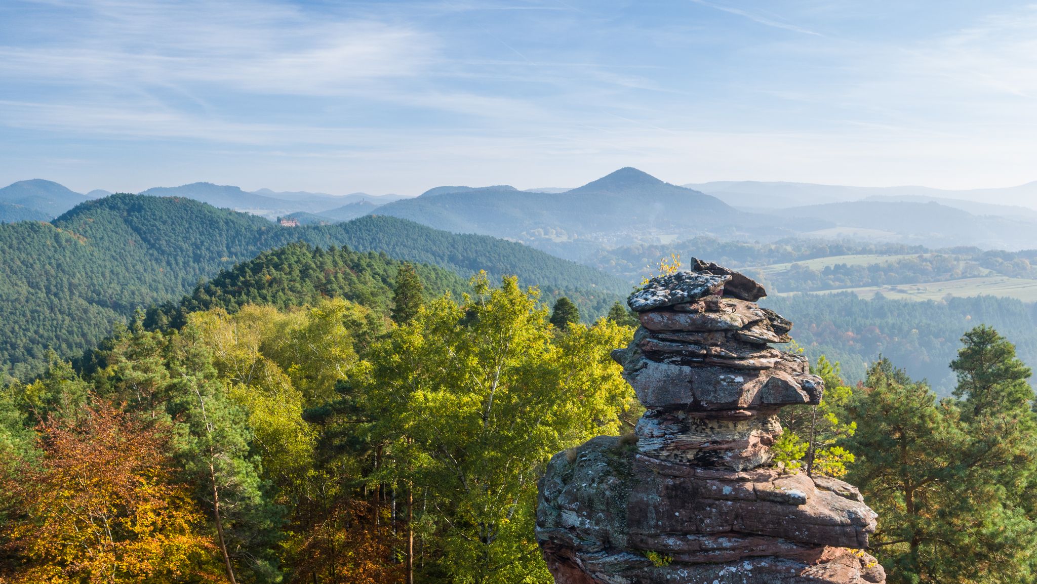
Palatinate hiking menu — day and half day hikes

The Rhine Cycle Path — From the source to the North Sea


Tips from the Community

Information panels explain the technique of meadow irrigation, which was recognized by UNESCO as an intangible cultural heritage in 2023. I will come back again in the spring and participate in one of the guided tours.
0
0
Today it seemed deserted, but it must be very busy here in the summer.
0
0

Not far from Lochmühlsee, you cross the Druslach River over a long bridge. You can roll your bike down the steps on the side and push it back up at the end of the bridge.
2
0
St. Bartholomew's Church was initially a combined denominational church after the previous church fell into disrepair. Starting in 1834, a Protestant church was built in Zeiskam, and each denomination had its own prayer rooms.
2
0

The forest ranger Philipp Hoffmann died at this spot on April 8, 1927, under unknown circumstances.
1
0
At the height of Zeiskam, at the weir of the so-called Buweabloss, a former washing place for men, the water of the Fuchsbach is divided into one third into the Hofgaben and two thirds into the Druslach.
0
0

From the west side of the fishing lake, you can always enjoy a beautiful view. The south side is comparatively densely overgrown.
1
0

Frequently Asked Questions
How many bus-accessible hiking trails are available around Germersheim?
There are over 330 hiking routes around Germersheim that are accessible by bus, offering a wide range of options for all skill levels. This includes more than 220 easy routes, 105 moderate routes, and a few challenging trails.
What kind of landscapes can I expect on bus-accessible hikes near Germersheim?
Hikes accessible by bus around Germersheim offer a diverse range of landscapes. You can explore picturesque riverine paths along the Rhine, ecologically rich floodplains like the Hördt Rhine floodplains with their unique flora and fauna, and sections of the extensive Palatinate Forest. Some routes also lead through scenic vineyards.
What is the best time of year for bus station hikes in Germersheim?
The best seasons for hiking in Germersheim are spring and autumn. During these times, temperatures are mild, and nature is particularly vibrant, with blooming flowers in spring and colorful foliage in autumn. Many trails are also suitable for winter hiking, though conditions may vary.
Are there easy, family-friendly hiking trails accessible by bus in Germersheim?
Yes, Germersheim is particularly attractive for families. Many bus-accessible routes are flat and suitable for all ages. An easy option is the View of the Maxau Rhine Bridge – View of the Rhine bridge loop from Maximiliansau, which is 6.8 km long and takes about 1 hour and 45 minutes. The region also offers special child-friendly trails with engaging experiences.
Are bus-accessible hiking trails in Germersheim dog-friendly?
Generally, many hiking trails in the Germersheim region are dog-friendly. However, it's always recommended to keep dogs on a leash, especially in nature reserves, agricultural areas, and near wildlife. Always carry water for your dog and clean up after them. Specific rules may apply in certain protected areas.
Can I find circular hiking routes starting from a bus station in Germersheim?
Yes, many of the bus-accessible routes around Germersheim are circular, allowing you to start and end your hike at the same bus stop. An example of a moderate circular route is the Bridge over the Michelsbach – Orchard Path loop from Hördt, which is 14.2 km long.
What interesting sights or landmarks can I see on bus-accessible hikes near Germersheim?
On bus-accessible hikes, you can discover various points of interest. The region is known for its historical fortifications. You might encounter highlights such as the Ludwig Gate or the Fronte Beckers, Fortress Germersheim. Some trails also offer views of the Rhine River and its unique floodplains.
Are there any trails that offer scenic views of the Rhine River?
Absolutely. Germersheim's location directly on the Rhine means many bus-accessible trails offer beautiful river views. The "Between High Bank and Rhine Floodplains" route, for instance, provides panoramic views from the high bank of the original Rhine. The Treidlerweg (Towpath Haulers Route) also leads through the Rhine floodplains near Hördt, offering glimpses of the river and its unique ecosystem.
Are there any challenging bus-accessible hikes around Germersheim?
While the majority of trails are easy to moderate, there are a few challenging bus-accessible hikes for those seeking more strenuous activity. These routes often involve longer distances or slightly more varied terrain, particularly as you venture closer to the Palatinate Forest.
What do other hikers enjoy the most about hiking in Germersheim?
The area is highly rated by the komoot community, with an average score of 4.5 stars from over 3200 ratings. Reviewers often praise the diverse landscapes, from the tranquil Rhine floodplains to the wooded areas, and the well-maintained paths that make the region accessible for various fitness levels. The ease of access via public transport is also a frequently highlighted benefit.
Can I find less crowded hiking trails accessible by bus near Germersheim?
Yes, while popular routes can see more visitors, the extensive network of trails around Germersheim means you can often find quieter paths. Exploring routes slightly off the main tourist areas or visiting during off-peak hours can lead to a more serene hiking experience, especially in the vast Palatinate Forest or the quieter sections of the Rhine floodplains.
Are there bus-accessible hikes that pass by places to eat or drink?
Many villages and towns around Germersheim, which serve as bus stops and trailheads, offer local cafes, restaurants, or traditional pubs. While specific routes aren't guaranteed to have establishments directly on the trail, planning your hike to start or end in a village like Hördt or Zeiskam (where the Loschter Handkeesplatz – Ludwigsmühle loop from Zeiskam begins) will likely provide options for refreshments.
Most popular routes around Germersheim
Most popular attractions around Germersheim

Get inspired with the komoot mobile app


Didn’t find what you were looking for?
Check out more Hikes throughout Germersheim below and find the perfect route in your destination.
Explore more
Browse the best Hikes in other regions.
