The best city hikes and walks around Germersheim
4.5
(4187)
16,999
hikers
18
hikes
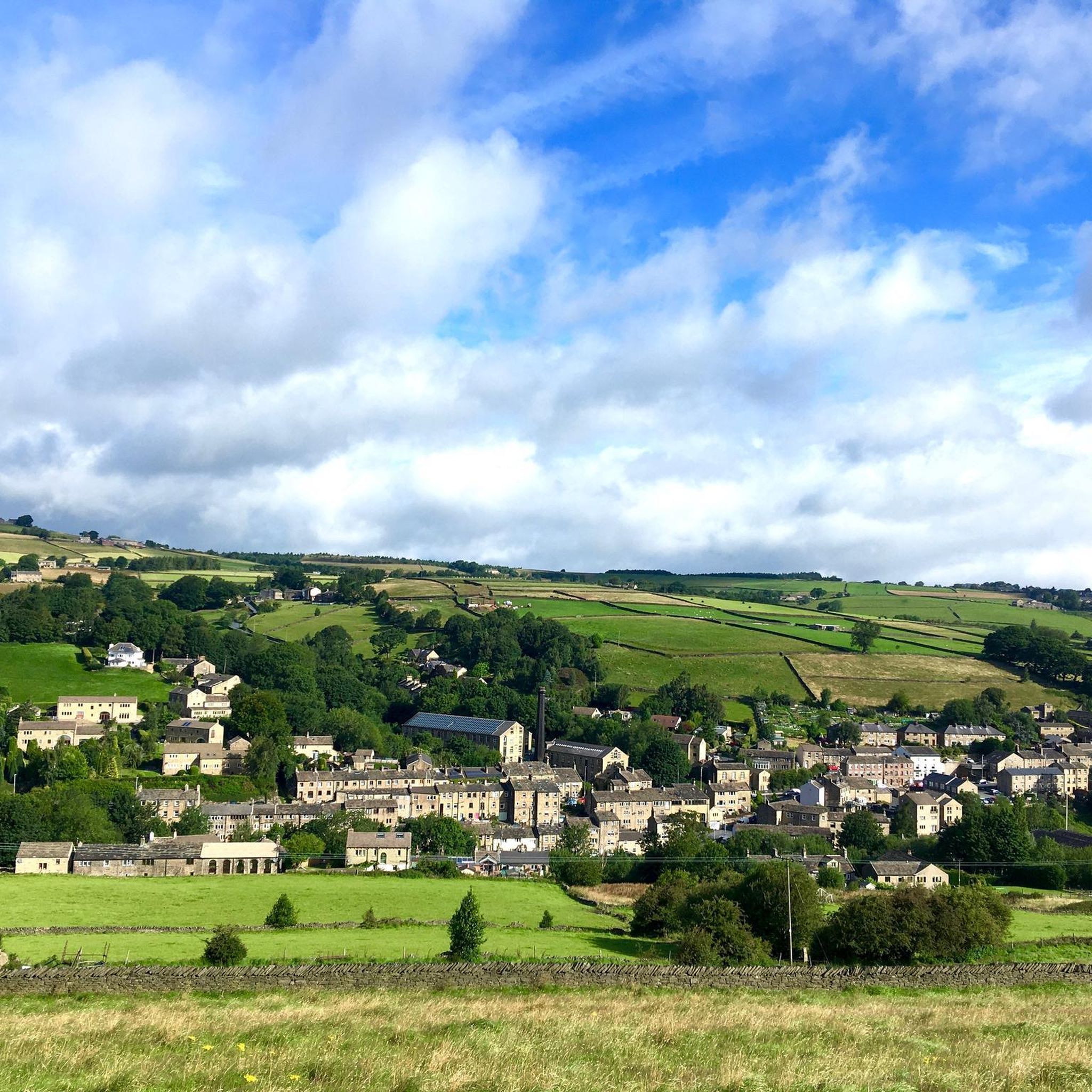
Urban hiking trails around Germersheim traverse a landscape shaped by the Rhine River and its floodplains, alongside agricultural fields and smaller waterways. The region features level paths suitable for walks along riverbanks and through meadows. While the immediate urban area is generally flat, the broader surroundings include parts of the Palatinate Forest, offering varied terrain. This area provides a mix of natural riverine environments and cultivated land.
Best urban hiking trails around Germersheim
- The most popular urban hiking route is Seyssel Barracks, Germersheim – Fronte Beckers loop from Germersheim Mitte/Rhein, an easy 2.8 miles (4.4 km) trail that takes about 1 hour 8 minutes to complete, exploring historical fortress elements.
- Another top favourite among local hikers is Wörth am Rhein Train Station – Graffiti Tunnel Maximiliansau loop from Wörth Zügelstraße, a moderate 5.1 miles (8.2 km) path. This route follows the Rhine and passes through urban and natural sections.
- Local hikers also love the Painted Stone Snake loop from Maximiliansau, an easy 1.7 miles (2.8 km) trail leading through local parkland, often completed in about 42 minutes.
- Hiking around Germersheim is defined by paths along the Rhine River, through floodplains, and across agricultural landscapes. The network offers options for different ability levels, from easy riverside strolls to longer routes.
- The routes in Germersheim are highly rated by the komoot community with an average score of 4.5 stars from over 3200 reviews. More than 14000 hikers have used komoot to explore Germersheim's varied terrain.
Last updated: July 10, 2026
6
hikers
Easy hike. Great for any fitness level. Easily-accessible paths. Suitable for all skill levels.
8
hikers
Easy hike. Great for any fitness level. Easily-accessible paths. Suitable for all skill levels.

Sign up for free
5.0
(1)
10
hikers
2.79km
00:42
10m
10m
Easy hike. Great for any fitness level. Easily-accessible paths. Suitable for all skill levels.
8
hikers
Easy hike. Great for any fitness level. Easily-accessible paths. Suitable for all skill levels.
4
hikers
Easy hike. Great for any fitness level. Easily-accessible paths. Suitable for all skill levels.
Get access to more routes and recommendations from other explorers.
Sign up for free
Already have an account?
Our route recommendations are based on thousands of hikes, rides, and runs completed by other people on komoot.
Start today with a free account
Your next adventure awaits.
Login or Signup



Tips from the Community

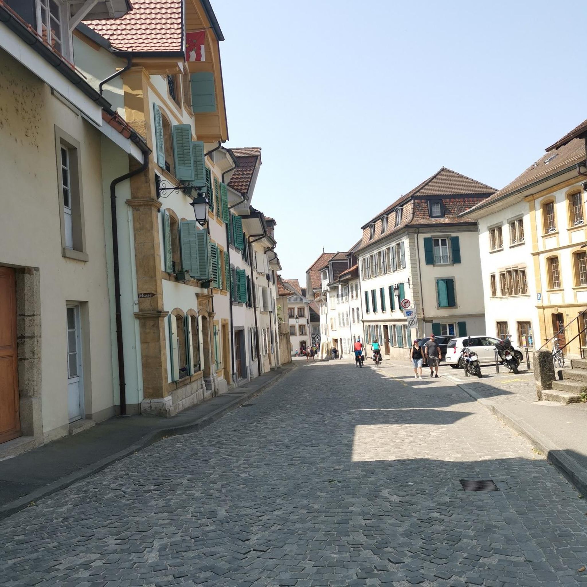
A very cozy café with a large selection and friendly service, located right in the center of town.
0
0

🐷 The Saubrunnen (Pig Fountain) in Kandel is a charming landmark that humorously recalls the town's agricultural history. It is located at Bismarckstraße 3A, right in the heart of the historic center.
1
0

A lovely rest area with a view of the water of the old Rhine arm, Kehle.
0
0
Wörth (Rhein) station was opened on March 15, 1864, as a through station on the section of the line branching off from the Maximilian Railway in Winden and leading to Maximiliansau. A year later, the missing link to Karlsruhe was completed. On May 15, 1876, with the extension of the Schifferstadt–Germersheim railway line and its continuation to Strasbourg, it became a junction station. In 1997, a line of the Albtal Transport Company (AVG) for the Karlsruhe Stadtbahn (light rail) was added, serving the Dorschberg residential area. The station building is a listed historical monument. Source and further details: https://de.wikipedia.org/wiki/Bahnhof_W%C3%B6rth_(Rhein)
1
0

The sights are close together
0
0


Unfortunately, the ground around it is very sealed off More green / plants / lawn is missing / Too bad, otherwise it's nice
0
0

The fortress trail takes you through the history of Germersheim. Just explore it yourself.
0
0
Frequently Asked Questions
How many urban hiking trails can I find around Germersheim?
There are 14 urban hiking trails around Germersheim, offering a variety of experiences. Most of these, 12 to be exact, are rated as easy, making them accessible for many.
What is the best time of year for urban hiking in Germersheim?
The best seasons for urban hiking in Germersheim are spring and autumn. During these times, temperatures are mild, and the natural scenery is at its most vibrant, with blooming flowers or colorful autumn foliage.
Are there any family-friendly urban walks in Germersheim?
Yes, Germersheim is particularly attractive for families, with many routes being shorter and varied. The region research highlights that some trails include exciting stops like playgrounds or animal enclosures. For a relatively short and easy option, consider the Painted Stone Snake loop from Maximiliansau, which is just under 3 km.
Can I bring my dog on urban hikes in Germersheim?
Many urban trails in Germersheim are suitable for dogs, especially those along the Rhine riverbanks and through the extensive Rhine meadows. Always ensure your dog is on a leash where required and respect local wildlife. The Germersheim Rhine Promenade loop is a great option for a walk with your canine companion.
What kind of landmarks or historical sites can I see on urban hikes?
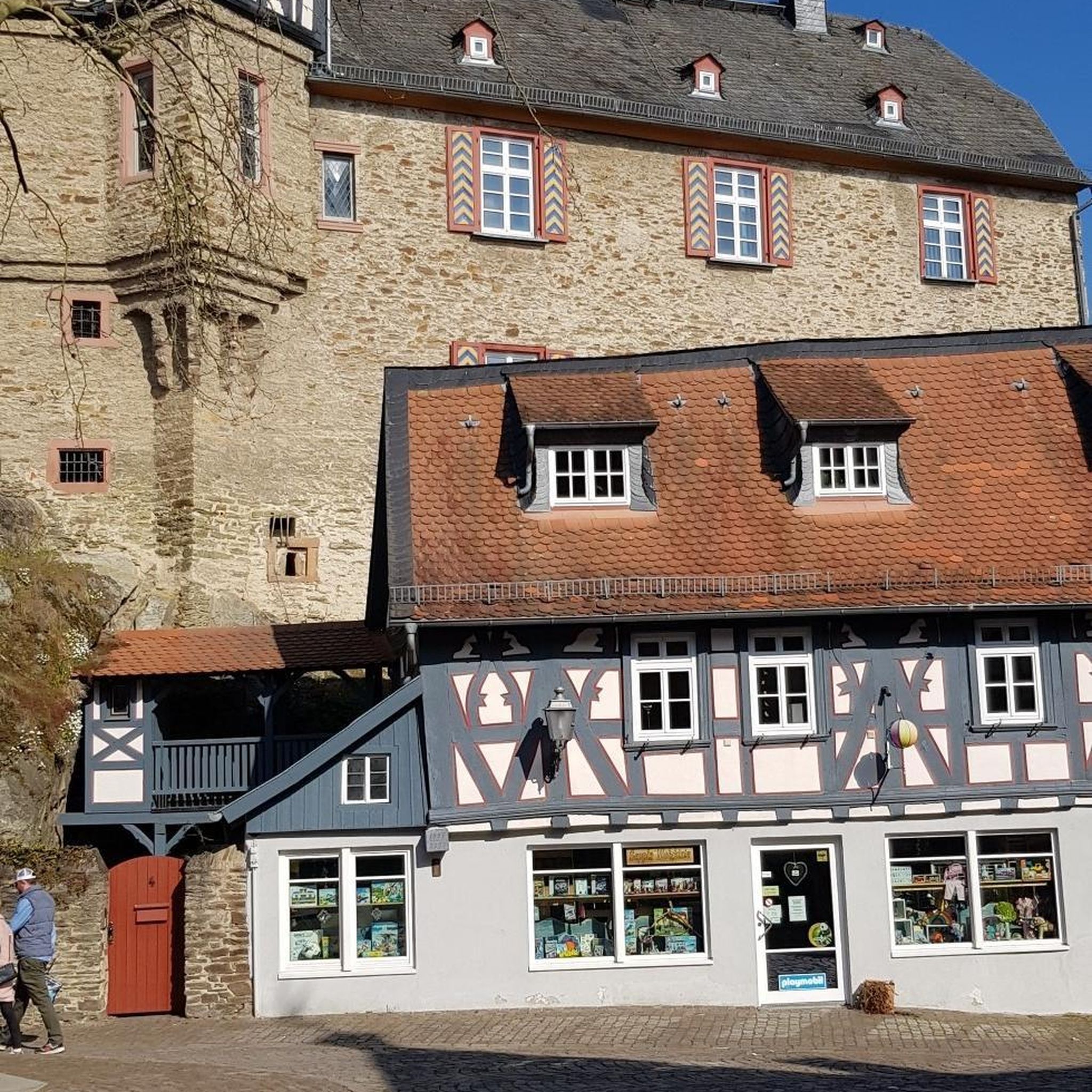
Germersheim's urban hikes often blend natural beauty with historical insights. You can explore the interaction of former military and civilian buildings of Germersheim's fortress. Notable historical sites include the Ludwig Gate and Fronte Beckers, Fortress Germersheim. The Seyssel Barracks, Germersheim – Fronte Beckers loop is an excellent route to discover these.
Are there any circular urban walks available?
Yes, many urban trails in Germersheim are circular, allowing you to start and end at the same point. For example, the Saubrunnen (Pig Fountain) – St. George's Church, Kandel loop offers a pleasant circular route through Kandel.
What do other hikers enjoy most about urban hiking in Germersheim?
The urban hiking trails around Germersheim are highly rated by the komoot community, with an average score of 4.5 stars from over 3,200 ratings. Hikers often praise the diverse landscapes, from the picturesque Rhine riverbanks to the charming city paths, and the blend of nature with historical points of interest.
Are there any urban trails that follow the Rhine River?
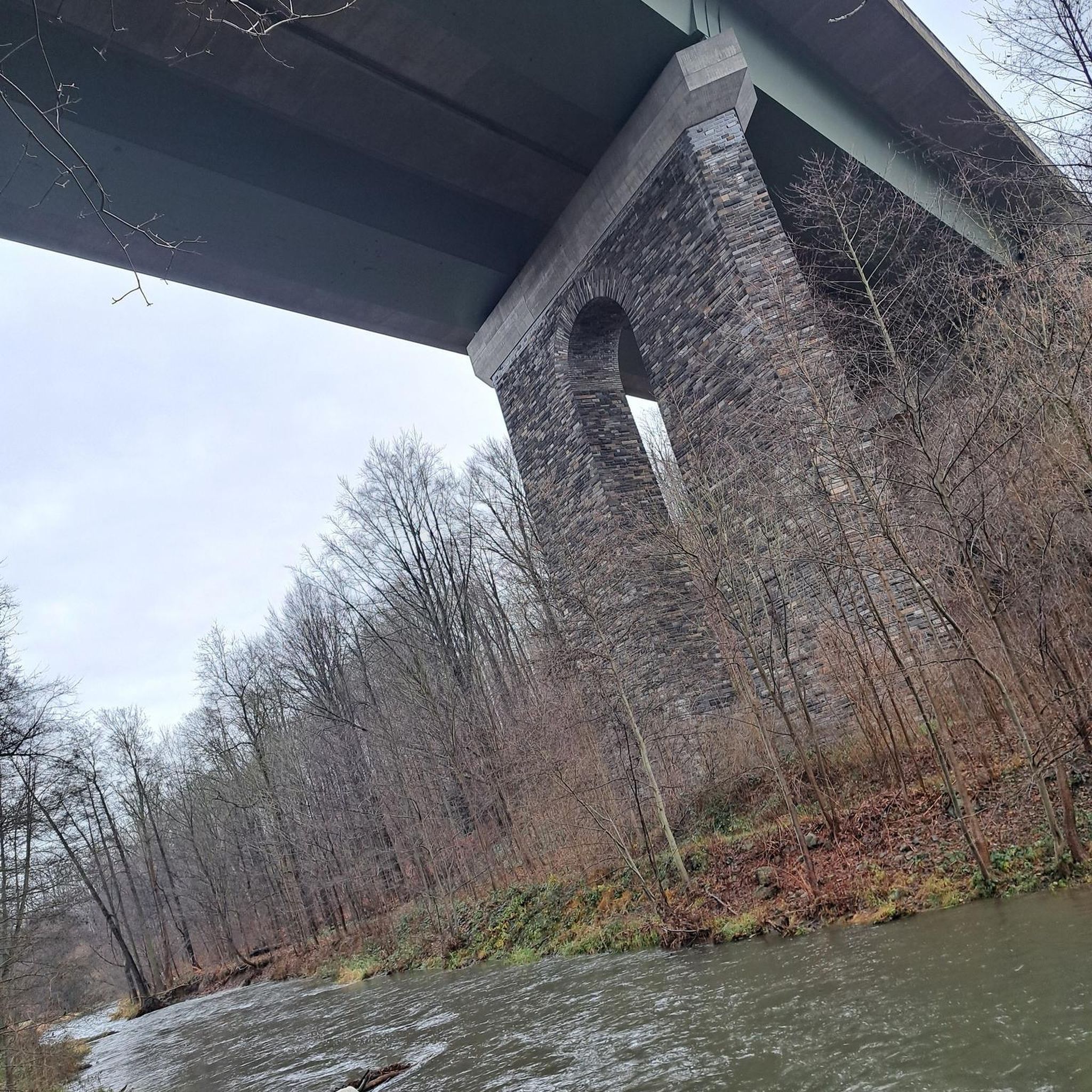
Absolutely. The Rhine River is a significant natural feature, providing picturesque settings for walks. The Germersheim Rhine Promenade loop is a prime example, offering beautiful views along the river. The historical Treidlerweg, or Towpath Haulers Route, also takes hikers through the Rhine floodplains near Hördt.
Are there options for public transport to access urban hiking trails?
Yes, several urban trails are accessible via public transport. For instance, the Wörth am Rhein Train Station – Graffiti Tunnel Maximiliansau loop starts conveniently near the Wörth am Rhein Train Station, making it easy to reach without a car.
Where can I find places to eat or drink near the urban trails?
Germersheim's urban setting means you'll often find cafes, pubs, and restaurants within easy reach of the trails, especially in the town center and along the Rhine promenade. While specific establishments aren't listed here, you can plan your route to pass through areas with amenities for a refreshing stop.
Most popular routes around Germersheim
Most popular attractions around Germersheim

Get inspired with the komoot mobile app


Didn’t find what you were looking for?
Check out more Hikes throughout Germersheim below and find the perfect route in your destination.
Explore more
Browse the best Hikes in other regions.
