The best hikes from bus stations around Fladungen
4.6
(3151)
11,702
hikers
119
hikes
Bus station hiking trails around Fladungen lead through the diverse landscapes of the Rhön Biosphere Reserve, characterized by lush meadows, wooded hills, and unique bog ecosystems. The region features gentle hills and river valleys, with the Streu River meandering through the landscape. Hikers can explore well-preserved raised bogs like the Schwarzes Moor and ascend to various viewpoints offering panoramic vistas of the southern Rhön foothills. This area provides a range of trails suitable for different fitness levels, from easy walks…
Last updated: May 14, 2026
4.8
(957)
3,901
hikers
Easy hike. Great for any fitness level. Easily-accessible paths. Suitable for all skill levels.
4.6
(388)
1,221
hikers
10.5km
02:51
150m
150m
Hike the moderate 6.5-mile Rhön Circular Trail 1 Schwarzes Moor through a unique raised bog with boardwalks and panoramic views.

Sign up for free
4.7
(30)
113
hikers
Moderate hike. Good fitness required. Easily-accessible paths. Suitable for all skill levels.
4.7
(90)
275
hikers
16.6km
04:37
300m
300m
Moderate hike. Good fitness required. Easily-accessible paths. Suitable for all skill levels.
4.9
(10)
60
hikers
20.7km
05:45
380m
380m
Hard hike. Very good fitness required. Easily-accessible paths. Suitable for all skill levels.
Get access to more routes and recommendations from other explorers.
Sign up for free
Already have an account?
Our route recommendations are based on thousands of hikes, rides, and runs completed by other people on komoot.
Start today with a free account
Your next adventure awaits.
Login or Signup
Popular around Fladungen

Extra tours South - Excellent premium hiking trails of the Rhön

Naturlehrpfade – Natur und Wissen

Wonderful Green Band

Discover the Green Belt in the Rhön with BUND

Hiking in the Rhön Mountains where nature and history combine
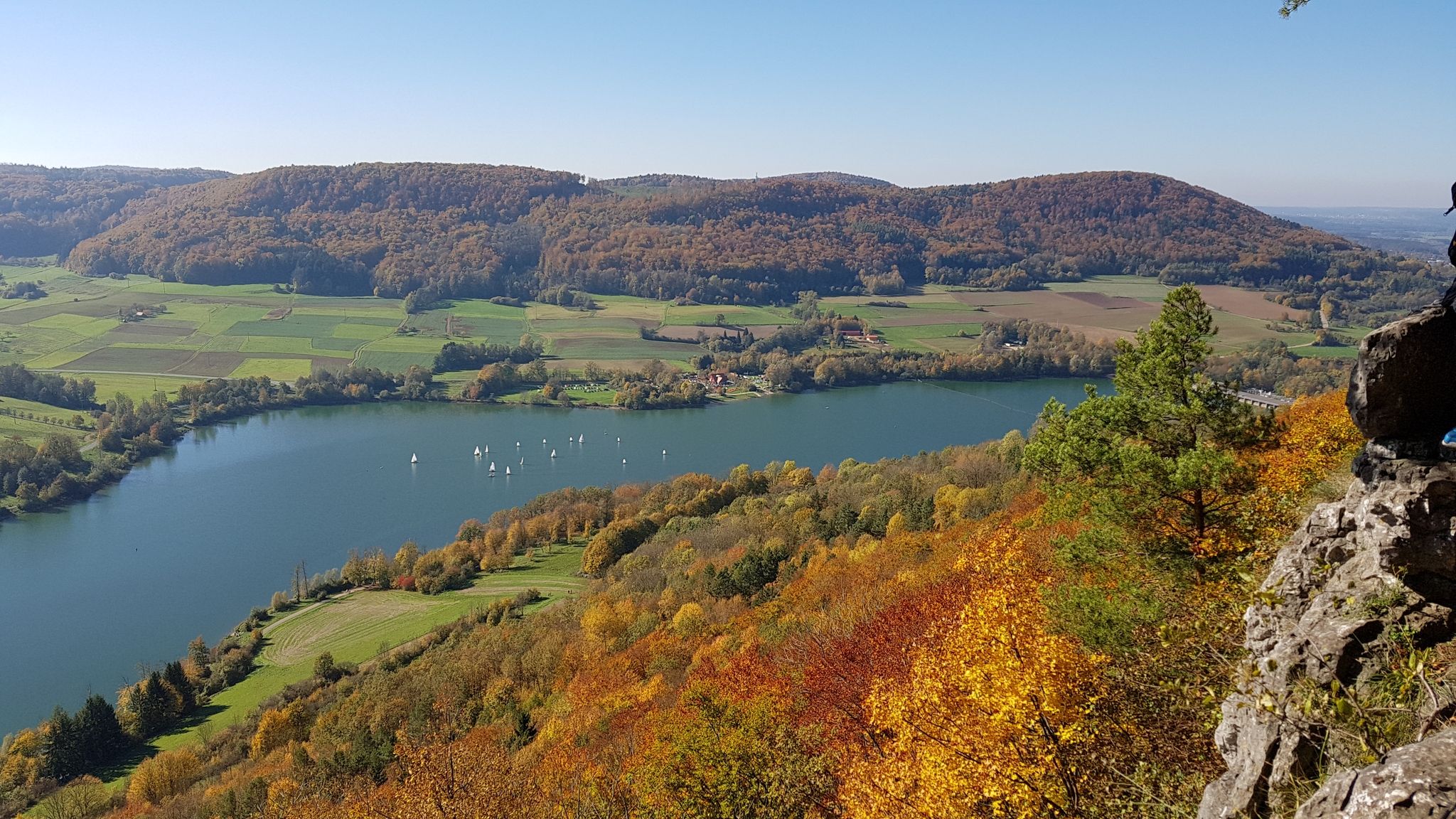
Colourful leaves & gentle hills – hiking in autumn in Franconia
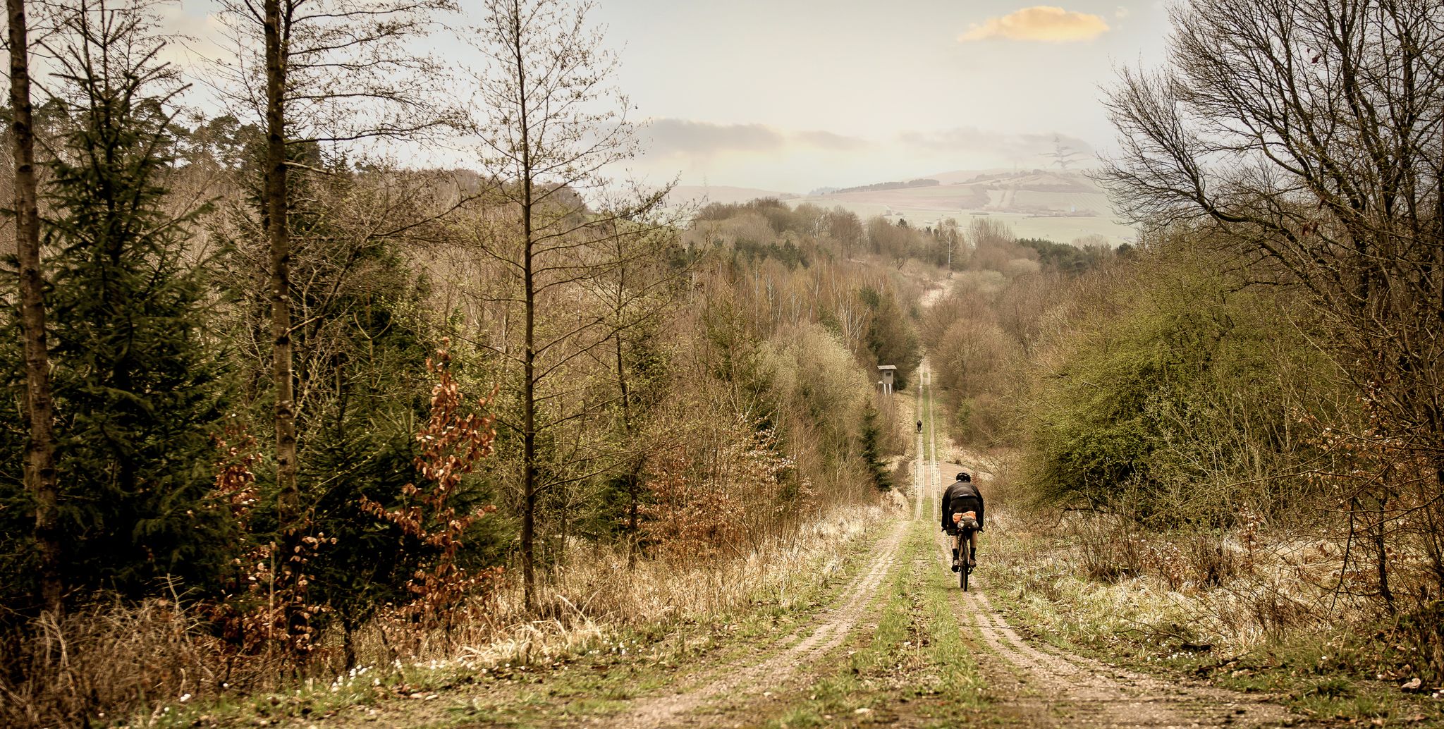
Bikepacking in the land of open distances - Trans Rhön in three days
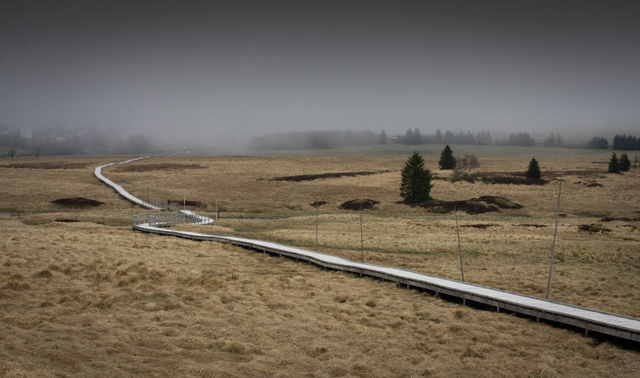
Scary beautiful moorland tours
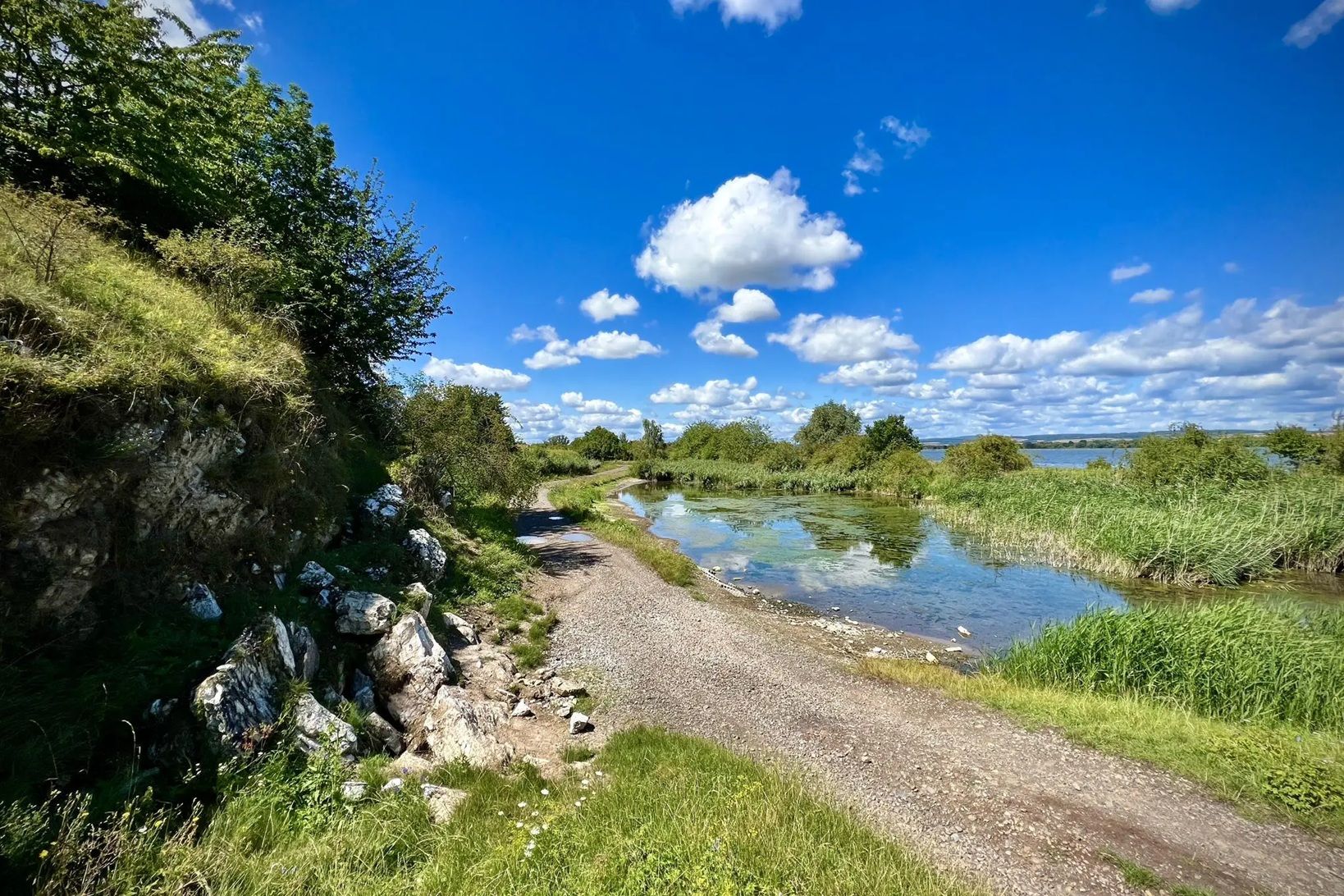
Die Nationalen Naturlandschaften in Thüringen
Other adventures around Fladungen


Tips from the Community


The "Moor Eye" is a stop on the nature trail. It focuses on the formation of the small lakes in the moor. Along the walkway, 23 information panels provide fascinating insights into the formation of the raised bog and its flora and fauna.
1
0
Path 5 and 7 lead along here, you should not leave the paths
1
0
the trees grow only stunted in the moor
1
0

Impressive landscape - only your own fault if you do it on a sunny holiday when it is very busy
0
0

The moss-covered stones lie right next to the hiking trail. A truly beautiful sight!
7
0

Frequently Asked Questions
How many hiking trails are accessible from bus stations around Fladungen?
There are over 120 hiking trails around Fladungen that are easily accessible from bus stations. These routes cater to various fitness levels, with a good mix of easy, moderate, and challenging options.
What do other hikers enjoy most about the trails around Fladungen?
The komoot community highly rates the hiking experience around Fladungen, with an average score of 4.5 stars from over 3,000 reviews. Hikers frequently praise the diverse landscapes of the Rhön Biosphere Reserve, the well-maintained paths, and the tranquility of areas like the Schwarzes Moor.
Are there easy hiking trails accessible by bus from Fladungen?
Yes, Fladungen offers numerous easy hiking trails perfect for a relaxed outing. For instance, the Schwarzes Moor Nature Trail is a gentle 3.2 km walk with minimal elevation gain, ideal for beginners or those seeking a leisurely stroll through a unique natural landscape.
Can I find circular hiking routes starting from bus stops in Fladungen?
Absolutely. Many routes in the region are designed as circular trails, allowing you to start and end at the same bus stop. An excellent example is the Rhön Circular Trail 1 Schwarzes Moor, a moderate 10.5 km loop that takes you through the stunning moor landscape.
What natural sights can I explore on bus-accessible hikes near Fladungen?
The region around Fladungen is rich in natural beauty. You can explore the unique ecosystem of the Schwarzes Moor Nature Trail, one of Germany's best-preserved raised bogs. Other highlights include the Guckaisee, a serene lake, and the historically significant Dreiländereck where three states converge. Some trails even lead to features like the Eisgraben Waterfall, as seen on the View over the Rhön Plateau – Eisgraben Waterfall loop.
Are there any viewpoints on the bus-accessible hiking trails around Fladungen?
Yes, the Rhön region offers numerous panoramic viewpoints. Trails often lead to spots like the 'Heimatblick' on the Salkenberg, providing breathtaking vistas of the southern Rhön foothills. The Wurmberg and Abtsberg also offer excellent viewing opportunities, including distant views into the Thuringian Rhön.
When is the best time of year to hike around Fladungen using public transport?
The Rhön region is beautiful year-round. Spring brings blooming meadows, summer offers lush greenery, and autumn transforms the landscape with vibrant colors. Even winter can be magical for hiking, especially in the tranquil, snow-covered moor areas. Always check local weather conditions before heading out.
Can I find trails suitable for families near Fladungen's bus stations?
Many of the easy and moderate trails are suitable for families. The Schwarzes Moor Nature Trail, with its boardwalks and educational aspects, is particularly family-friendly. The Franconian Open Air Museum Fladungen also offers an engaging experience for all ages, often accessible via nearby bus routes.
Are there dog-friendly hiking routes accessible by bus from Fladungen?
Most hiking trails around Fladungen are dog-friendly, provided your dog is kept on a leash, especially in nature reserves like the Schwarzes Moor. The expansive and varied landscapes of the Rhön offer plenty of space for you and your canine companion to enjoy. Always remember to carry water for your dog and clean up after them.
Are there any historical or cultural landmarks along the bus-accessible trails?
Beyond natural beauty, the region offers cultural insights. The Franconian Open Air Museum Fladungen provides a glimpse into local history. You might also encounter the Saint Gangolf Chapel, a visible landmark, or sections of the Green Belt, which offers a historical reflection on the former inner-German border. The Grabenberg Border Tower loop is one such route that touches upon this history.
What is the typical duration for a moderate bus-accessible hike in this area?
Moderate hikes from bus stations around Fladungen typically range from 2 to 4 hours. For example, the Moorauge Pond loop is about 8 km long and takes approximately 2 hours, offering a good balance of distance and time for a rewarding experience.
Most popular routes around Fladungen
Most popular attractions around Fladungen

Get inspired with the komoot mobile app


Explore more
Browse the best Hikes in other regions.
