The best dog-friendly hikes and walks around Fladungen
4.6
(3335)
11,699
hikers
7
hikes
Dog friendly hiking trails around Fladungen are situated within the Rhön Biosphere Reserve, a region characterized by diverse natural landscapes including wooded hills, green meadows, and the unique Schwarzes Moor. The terrain features varied elevations, offering paths through forests and open areas with views into the Streutal. This area provides a network of trails suitable for different fitness levels, making it a destination for outdoor activities.
Best dog friendly hiking trails around Fladungen
- The most popular dog friendly hiking route…
Last updated: September 30, 2026
4.5
(4)
18
hikers
9.57km
02:35
130m
130m
Moderate hike. Good fitness required. Easily-accessible paths. Suitable for all skill levels.
4.7
(7)
15
hikers
12.1km
03:22
230m
230m
Moderate hike. Good fitness required. Easily-accessible paths. Suitable for all skill levels.

5.0
(2)
6
hikers
9.46km
02:38
180m
180m
Moderate hike. Good fitness required. Easily-accessible paths. Suitable for all skill levels.
5.0
(1)
2
hikers
14.8km
04:06
270m
270m
Moderate hike. Good fitness required. Easily-accessible paths. Suitable for all skill levels.
2
hikers
3.61km
01:00
60m
60m
Easy hike. Great for any fitness level. Easily-accessible paths. Suitable for all skill levels.
Get access to more routes and recommendations from other explorers.
Already have an account?
Our route recommendations are based on thousands of hikes, rides, and runs completed by other people on komoot.
Start today with a free account
Your next adventure awaits.
Popular around Fladungen

Extra tours South - Excellent premium hiking trails of the Rhön

Naturlehrpfade – Natur und Wissen

Wonderful Green Band

Discover the Green Belt in the Rhön with BUND

Hiking in the Rhön Mountains where nature and history combine
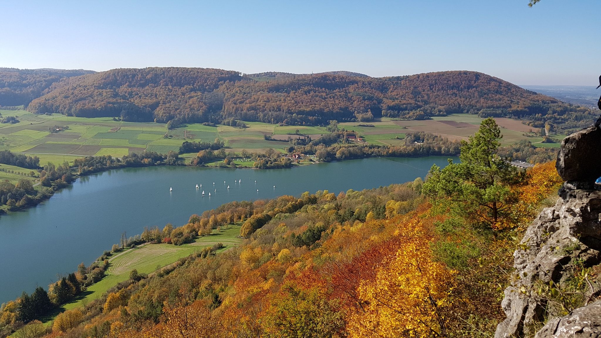
Colourful leaves & gentle hills – hiking in autumn in Franconia
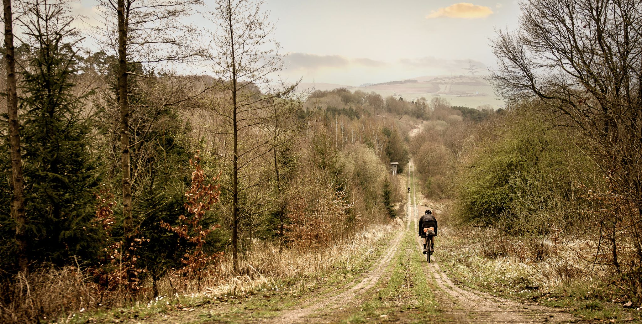
Bikepacking in the land of open distances - Trans Rhön in three days
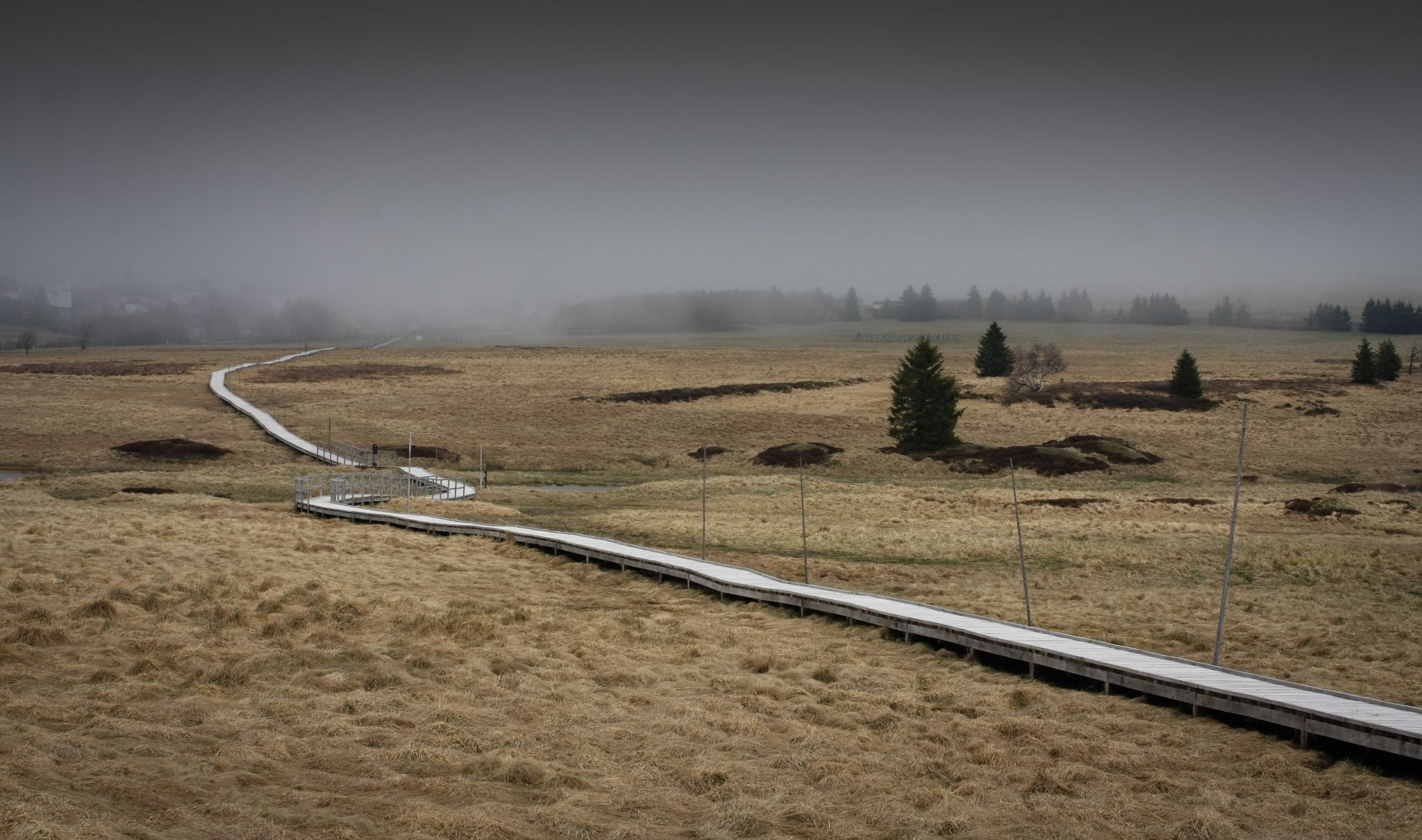
Scary beautiful moorland tours
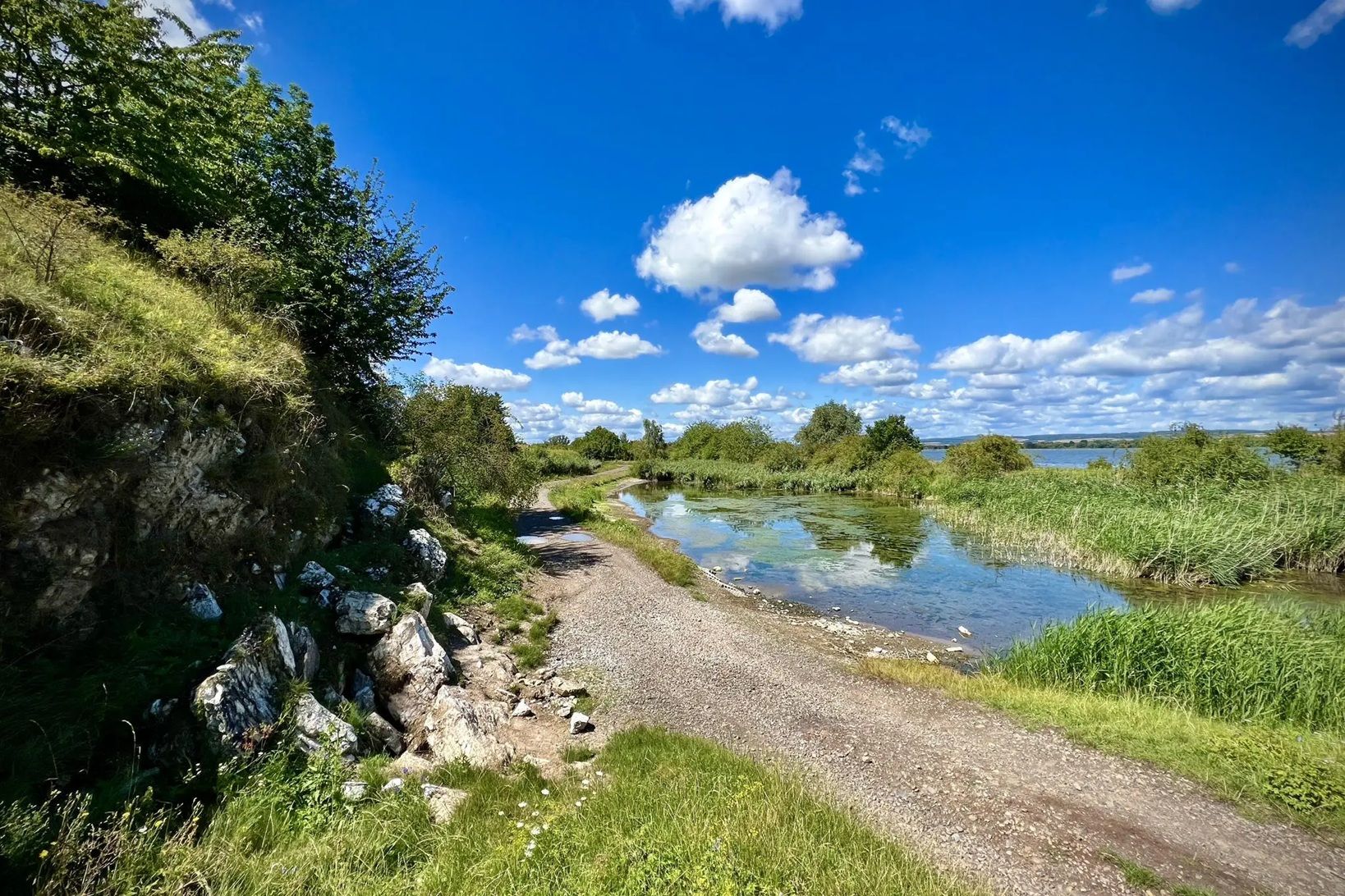
Die Nationalen Naturlandschaften in Thüringen
Other adventures around Fladungen


Tips from the Community

Beautiful little church in the north of Bavaria
0
0
Very nice pond ...
0
0

639 m high and powerfully towering over the surrounding forests
0
0

Somewhat hidden in the woods "The fragmentation of Germany into small states at that time left historical traces. For example, there is a boundary stone at the former inner-German border, where the territories of the Kingdom of Bavaria, the Grand Duchy of Saxe-Weimar-Eisenach, and the Duchy of Saxe-Meiningen met." 📜
0
0

The varied premium hiking trail "Der Willmarser" leads along fields, streams and forests around the picturesque villages of Willmars and Filke at the foot of the Rhön.
5
0
The varied premium hiking trail "Der Willmarser" leads along fields, streams and forests around the picturesque villages of Willmars and Filke at the foot of the Rhön.
4
0
The varied premium hiking trail "Der Willmarser" leads along fields, streams and forests around the picturesque villages of Willmars and Filke at the foot of the Rhön.
4
0
Frequently Asked Questions
How many dog-friendly hiking trails are available around Fladungen?
There are 8 dog-friendly hiking trails listed in this guide for the Fladungen area. These routes offer a variety of experiences suitable for you and your canine companion.
What are the typical difficulty levels for dog-friendly hikes in Fladungen?
The dog-friendly hikes around Fladungen cater to various fitness levels. You'll find 2 easy routes perfect for a relaxed stroll, and 6 moderate routes that offer a bit more challenge and longer distances. All are suitable for well-behaved dogs.
Are there circular dog-friendly hiking routes available?
Yes, many of the dog-friendly trails around Fladungen are circular, allowing you to start and end at the same point. For example, you could explore The Schnakenstube – Steinkopf loop from Weimarschmieden, which offers a pleasant round trip.
What kind of landscapes can I expect to see on dog-friendly hikes in Fladungen?
Fladungen is nestled within the Rhön Biosphere Reserve, offering diverse landscapes. You and your dog can expect to traverse green meadows, mixed forests, and rolling hills with expansive views into the Streutal and across the Rhön. The region is known for its 'Land of Open Distances' character.
Are there any specific rules for dogs when hiking in the Rhön Biosphere Reserve?
As Fladungen is part of the Rhön Biosphere Reserve, it's generally recommended to keep your dog on a leash, especially in sensitive natural areas, near livestock, or during nesting seasons. Always respect local signage and wildlife to ensure a pleasant experience for everyone.
What interesting natural features or landmarks can I visit with my dog near Fladungen?
The area boasts several natural and historical highlights. You could visit the Boardwalk Trail Through the Rotes Moor, a unique raised bog ecosystem, or explore the scenic Guckaisee. The Pferdskopf Summit also offers great views.
Are there dog-friendly places to eat or drink after a hike in Fladungen?
The Rhön region is known for its hospitality, and many huts and guesthouses welcome hikers. While specific dog policies vary, you might find options like the Enzian Hut, Rhön or the Jagdschloss Holzberghof that are accommodating to dogs, especially in their outdoor seating areas. It's always best to check ahead.
Where can I find parking for dog-friendly hikes near Fladungen?
Many of the trailheads for dog-friendly hikes around Fladungen, especially those starting from villages like Weimarschmieden or Fladungen itself, offer designated parking areas. For instance, routes like Filke Fishing Ponds – Mauerschädel loop from Weimarschmieden typically have parking available at the starting point.
What is the best time of year to hike with my dog in Fladungen?
The Rhön region is beautiful year-round. Spring offers blooming meadows, summer provides lush greenery and shaded forest paths, while autumn showcases vibrant foliage. Winter can be magical with snow, but some trails might be more challenging. Always check weather conditions before heading out.
Are there any easy dog-friendly walks suitable for beginners or older dogs?
Yes, there are easy dog-friendly routes perfect for a leisurely pace. These trails are generally shorter with minimal elevation gain, making them ideal for less experienced hikers, puppies, or older dogs. Look for routes marked as 'easy' in the guide.
What do other hikers enjoy most about the dog-friendly trails in Fladungen?
The area is highly rated by the komoot community, with an average score of 4.5 stars from over 3000 ratings. Reviewers often praise the well-maintained paths, the peaceful natural surroundings, and the stunning panoramic views across the Rhön, making it a fantastic destination for hiking with dogs.
Can I find longer, more challenging dog-friendly routes around Fladungen?
While this guide focuses on moderate routes, the extensive network of trails in the Rhön Biosphere Reserve offers options for longer and more challenging hikes. For example, the View of Neuberg – View of Filke loop from Brüchs is a moderate route stretching over 15 km, providing a good workout for you and your dog.
Most popular routes around Fladungen
Most popular attractions around Fladungen

Get inspired with the komoot mobile app


Explore more
Browse the best Hikes in other regions.
