The best city hikes and walks around Crailsheim
4.6
(4008)
16,241
hikers
31
hikes
Urban hiking trails around Crailsheim are situated within the Hohenlohe region, characterized by rolling hills and picturesque valleys. The town's location near the Jagst River provides opportunities for walks along its banks, featuring historic bridges and natural ecosystems. The local terrain includes varied landscapes of meadows and fields, offering accessible paths for urban exploration.
Best urban hiking trails around Crailsheim
- The most popular urban hiking route is Lammgarten Playground – Schweinebrunnen loop from Crailsheim, a 3.8 miles (6.1 km)…
Last updated: June 26, 2026
3.0
(1)
19
hikers
5.92km
01:33
40m
40m
Easy hike. Great for any fitness level. Easily-accessible paths. Suitable for all skill levels.
3.7
(3)
13
hikers
4.95km
01:16
20m
20m
Easy hike. Great for any fitness level. Easily-accessible paths. Suitable for all skill levels.

Sign up for free
8
hikers
Easy hike. Great for any fitness level. Easily-accessible paths. Suitable for all skill levels.
4.0
(2)
8
hikers
5.83km
01:32
50m
50m
Easy hike. Great for any fitness level. Easily-accessible paths. Suitable for all skill levels.
6
hikers
7.37km
01:55
40m
40m
Easy hike. Great for any fitness level. Easily-accessible paths. Suitable for all skill levels.
Get access to more routes and recommendations from other explorers.
Sign up for free
Already have an account?
Our route recommendations are based on thousands of hikes, rides, and runs completed by other people on komoot.
Start today with a free account
Your next adventure awaits.
Login or Signup
Popular around Crailsheim

Main-Danube-Lake Constance Trail – Along iconic waters

Germany's Hohenlohe-Ostalb Cycle Route – From idyllic valleys to the Swabian Alb
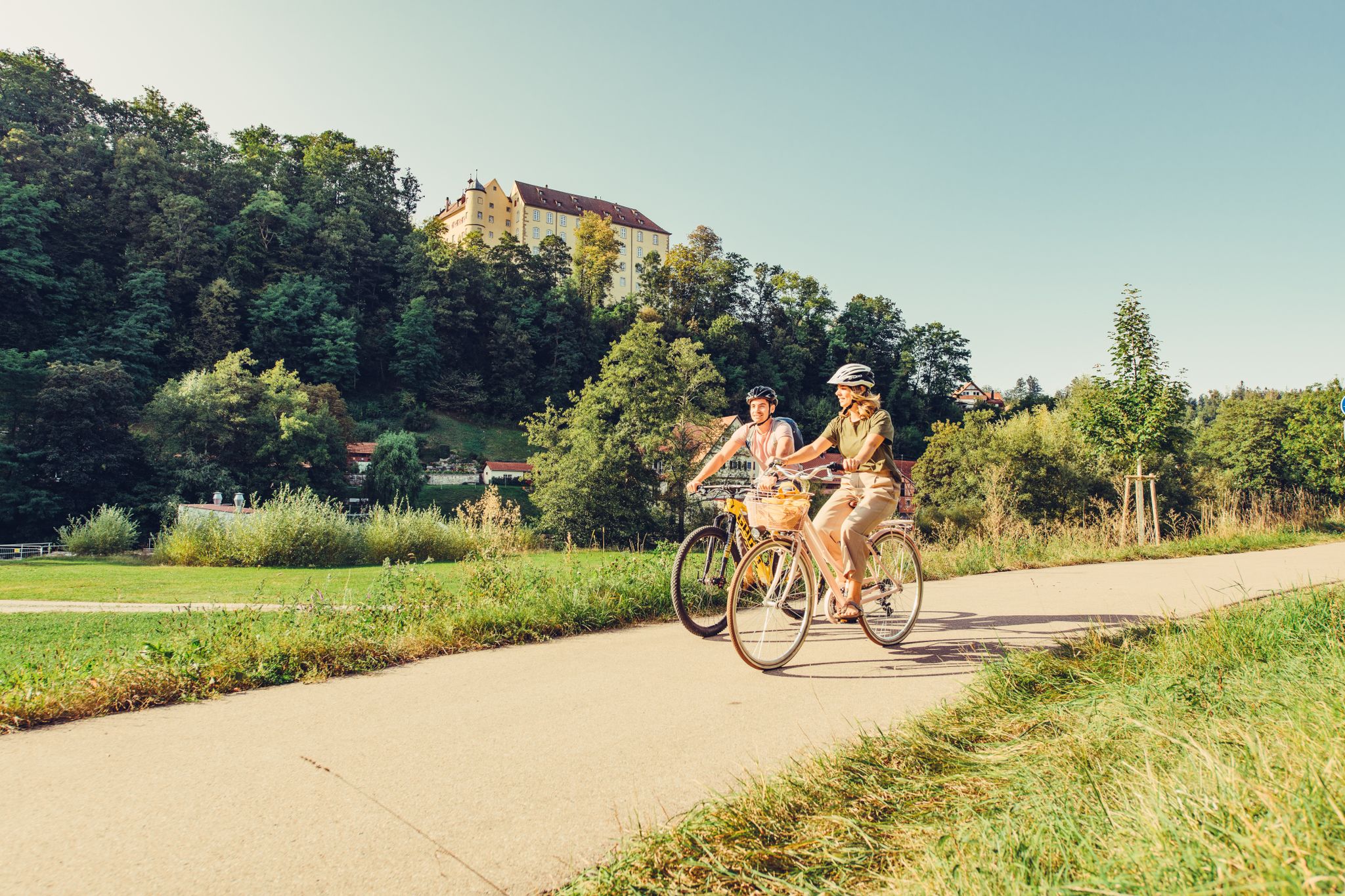
6 stages on the Kocher-Jagst cycle path through southern Germany
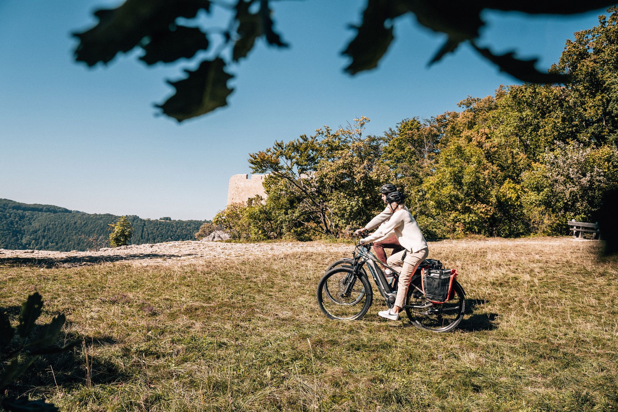
Breathe in the mountain air – long-distance cycle paths in the Swabian Alb
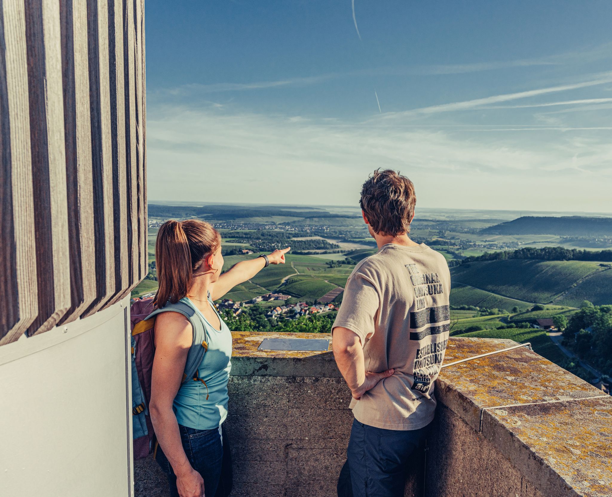
Ride to the most beautiful viewpoints in northern Baden-Württemberg
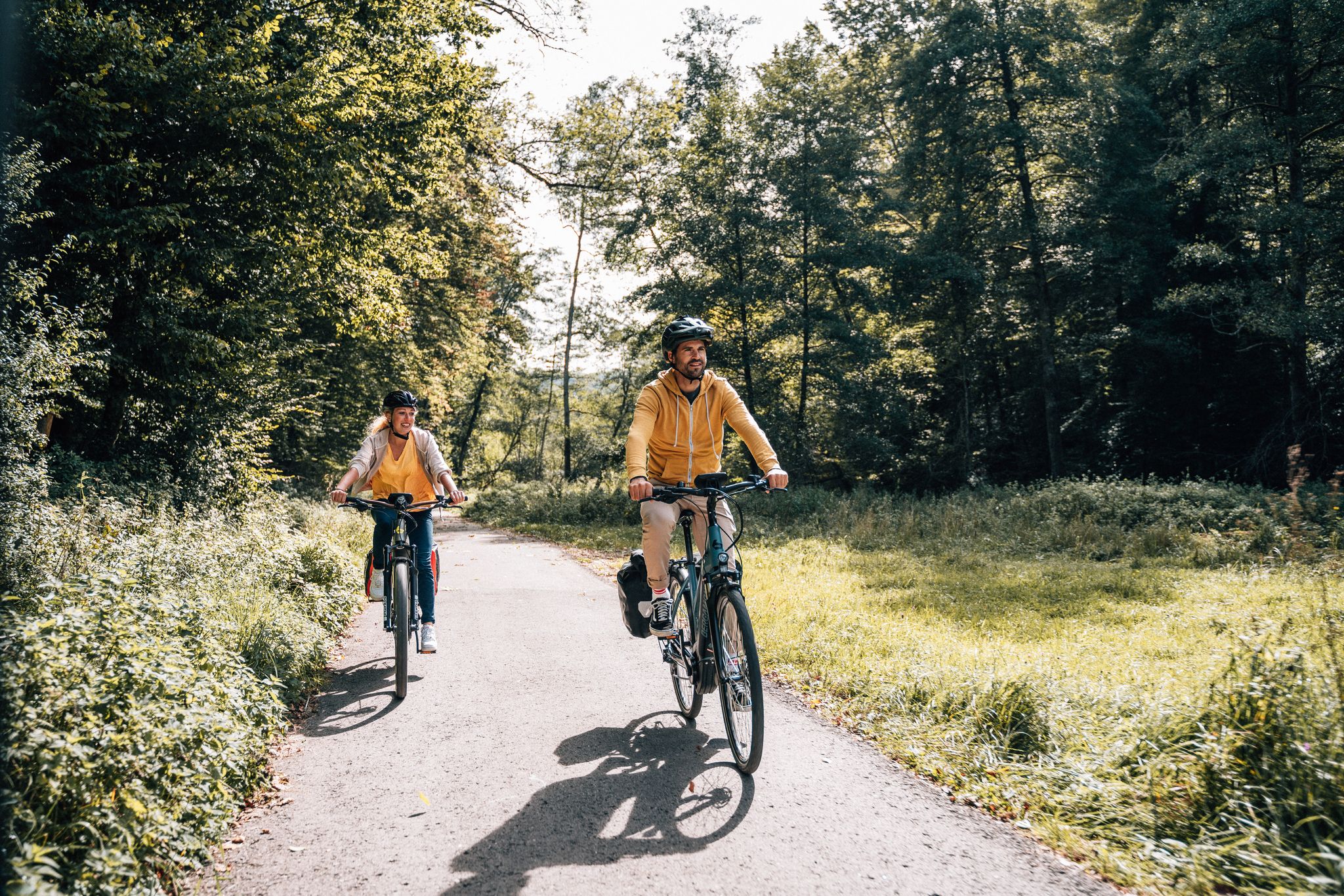
Cycle touring trio in the Swabian Alb
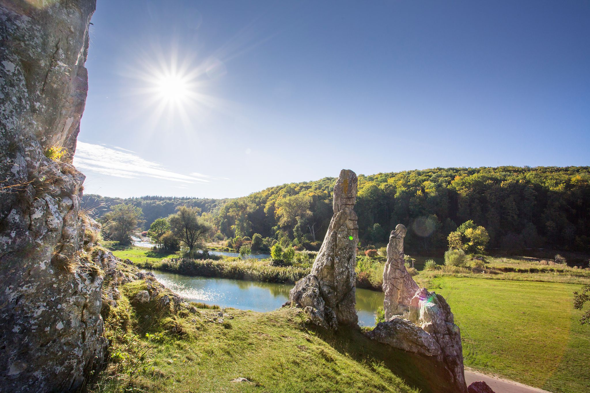
Picturesque valleys on Germany’s Württemberg Valley Cycle Path
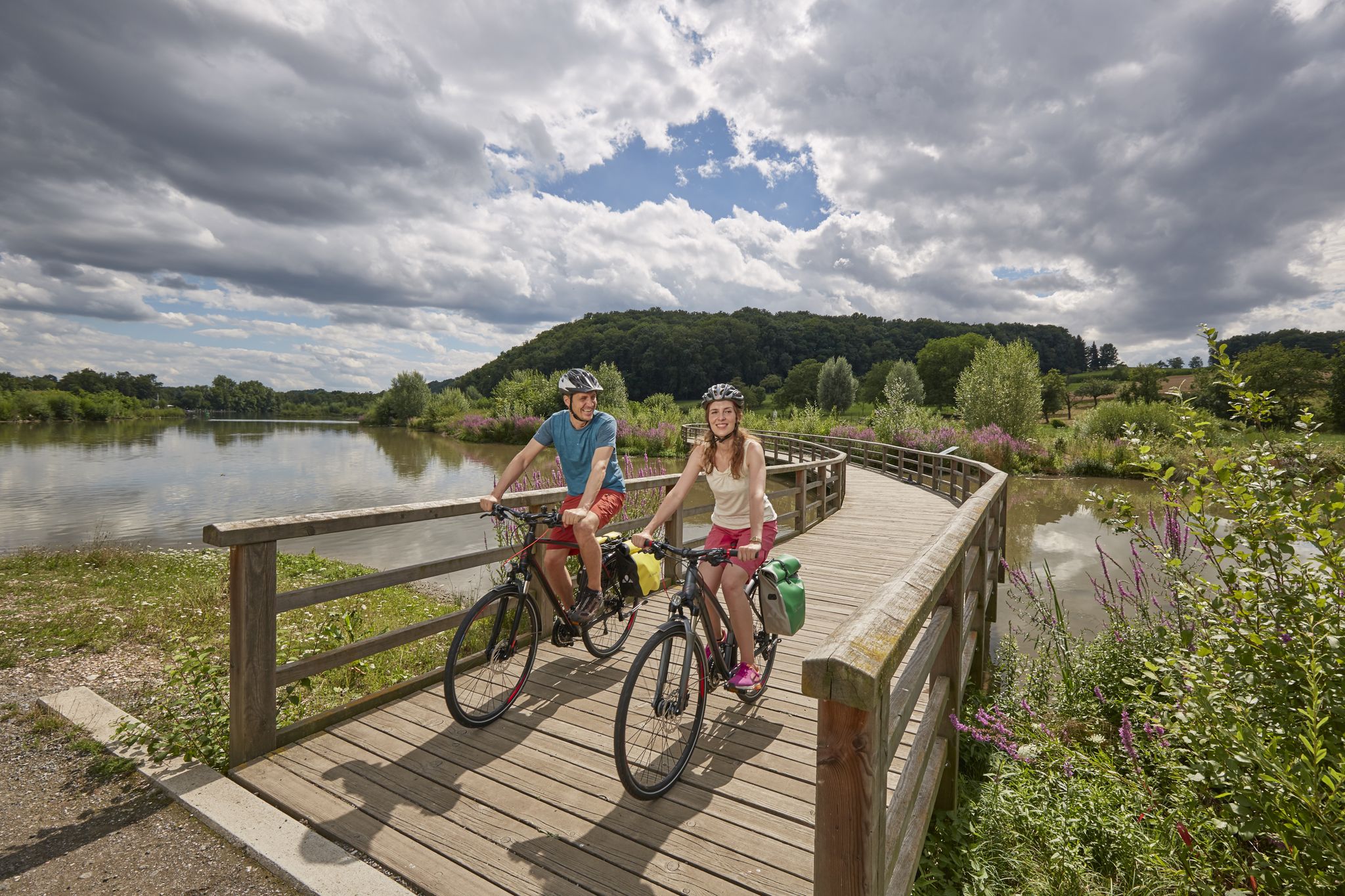
Long-distance cycle routes in Baden-Württemberg – endless rivers and lakes
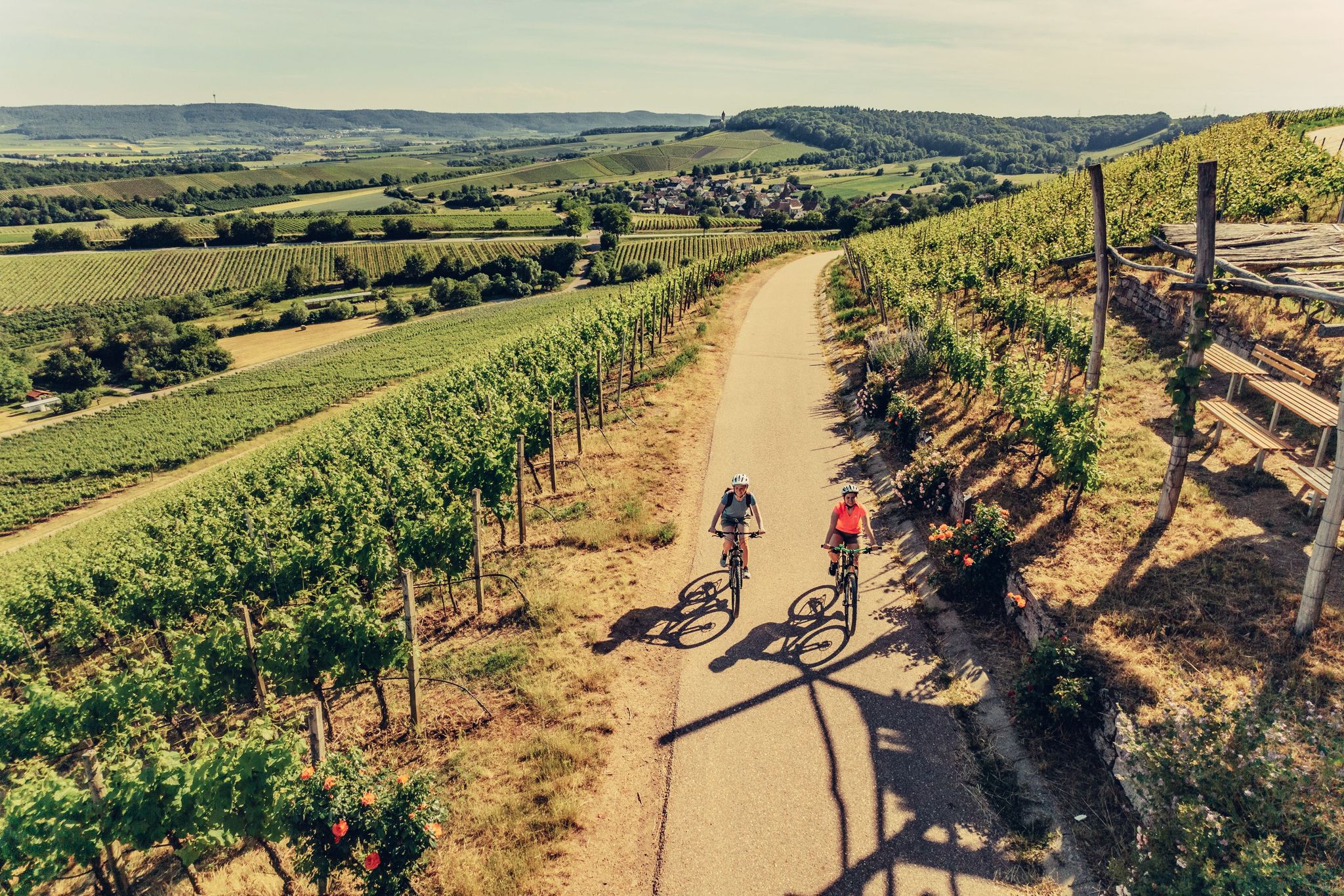
E-bike day Tours along the Tauber, Kocher, Jagst and Neckar rivers
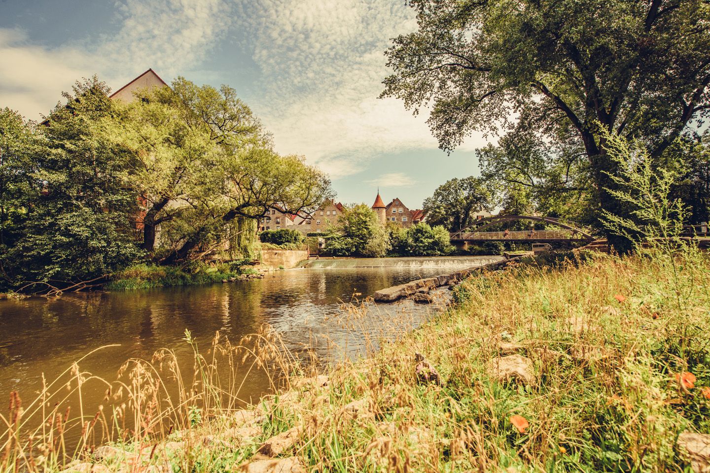
Relaxed river riding in Germany – Kocher-Jagst Cycle Path
Other adventures around Crailsheim


Tips from the Community

Town Hall Tower Gable front with protruding five-story massive tower, the top floor in octagonal form with Italianate dome and lantern, flanked by narrow side sections with volute gables that connect to the tower, the facades framed by pilaster strips, the entrance in a concave, grooved niche with a Margravial coat of arms cartouche between Brandenburg eagles, above an inscription plaque; built on behalf of Margrave Friedrich Wilhelm by Chief Building Director Carl Friedrich von Zocha from 1717 to 1719
2
0
Single-nave hall building with gable roof, slightly recessed, three-sided polygonal choir, sacristy extension with steep pent roof, high west tower with octagonal bell storey under double-curved Welsch hood, consecrated in 1393, tower added in 1477 and raised in 1728,
2
0

dunno what Ansbach has to do with it - this is Crailsheim?!
0
0

The Crailsheim Cemetery of Honor was built in 1956 for soldiers from Germany and abroad.
1
0

Beautiful fountain decorated with Easter eggs
0
0

The lower part of the thief tower is considered the oldest structure in the city. Originally it was probably the keep of an earlier moated castle, later a defensive and watchtower in front of the city. The 34 meter high structure not only had a military function, but also served as a prison in the lower part. After its destruction during the war in 1945, the burglary tower was initially temporarily rebuilt and made accessible again in 1990/91
4
0
One of the few remaining wall towers is the armory tower on Grabenstrasse, which was part of the massive, 1,100 m long city wall. With the continuous development of weapon technology, the old fortifications lost their military importance over time. From the middle of the 18th century, the city moats in front of the wall in Crailsheim were sold and converted into gardens.
3
0
The town church is dedicated to John the Baptist and has been a Protestant parish church since 1522 due to the introduction of the Reformation. At the end of the Second World War, Crailsheim was more than 80% destroyed. Fortunately, the Johanneskirche survived the destruction of the city and was only slightly damaged. In addition to the winged altar by Wohlgemut, the sacrament house from 1499 and the baroque grave monuments in the choir, as well as the baroque organ front, are worth seeing. Since 2018, the church also has several modern glass works of art by Ada Isensee.
4
0
Frequently Asked Questions
How many urban hiking trails are available around Crailsheim?
There are over 30 urban hiking trails in and around Crailsheim, offering a variety of experiences for all skill levels. Most of these routes are easy, making them accessible for many hikers.
What kind of landscapes can I expect on urban hikes in Crailsheim?
Urban hikes in Crailsheim often blend town exploration with natural beauty. You'll find routes that traverse the picturesque Jagst River Valley, known for its valuable ecosystems and historic bridges like the Ockenauer Steg. Many trails also offer views of the rolling hills and scenic valleys characteristic of the Hohenlohe region, sometimes even touching the edge of the Frankenhöhe Nature Park.
Are there any circular urban hiking routes in Crailsheim?
Yes, many urban hikes in Crailsheim are circular, allowing you to start and end in the same location. For example, consider the Lammgarten Playground – Schweinebrunnen loop from Crailsheim or the Decorated Easter Fountain loop from Crailsheim for convenient exploration.
What are some interesting landmarks or attractions to see on urban hikes?
Crailsheim's urban hikes offer several points of interest. You might encounter historical sites within the town, or natural highlights such as the Orrotsee, a serene lake perfect for observing local wildlife. The "Gründische" fountain is another notable natural monument that can be discovered on nearby routes.
Are the urban hiking trails in Crailsheim suitable for families?
Absolutely! Many urban trails in Crailsheim are designed to be family-friendly. The region is known for routes like the Märchenweg (Fairy Tale Trail), which features interactive stations. For an easy loop with children, the Flower Vending Machine – Village Fountain loop from Wasserburg Flügelau is a good option.
Can I bring my dog on urban hikes in Crailsheim?
Yes, Crailsheim's urban hiking trails are generally dog-friendly. The varied landscapes, from river valleys to open fields, provide excellent opportunities for you and your canine companion to explore. Always ensure your dog is on a leash where required and respect local wildlife.
What is the best time of year for urban hiking in Crailsheim?
Spring and autumn are considered the best seasons for hiking in Crailsheim. The mild temperatures and vibrant landscapes during these times make for a particularly enjoyable experience. However, the urban nature of many trails means they can be accessed year-round, weather permitting.
Are there any easy urban hikes for beginners in Crailsheim?
Yes, the majority of urban hikes in Crailsheim are classified as easy. Routes like the Thieves' Tower, Crailsheim – Schweinebrunnen loop from Crailsheim offer gentle terrain and manageable distances, perfect for those new to hiking or looking for a relaxed stroll.
What do other hikers say about urban trails in Crailsheim?
The urban hiking trails around Crailsheim are highly rated by the komoot community, with an average score of 4.55 stars from over 700 reviews. Hikers often praise the accessibility of the routes, the blend of urban charm with natural scenery, and the well-maintained paths that make for an enjoyable experience.
Are there urban hikes that offer good viewpoints in Crailsheim?
Yes, several urban hikes provide excellent viewpoints. The Crailsheim Planetary Trail – Karlsberg View loop, for instance, offers beautiful panoramic vistas over Crailsheim. Additionally, the Burgberg Tower is another point of interest that provides great views of the surrounding area, often accessible via local trails.
How accessible are the urban hiking trails by public transport or car in Crailsheim?
Crailsheim is well-connected, making its urban trails accessible. Many routes start directly within the town or in nearby villages, often with public transport links. For those driving, parking is generally available near trailheads, especially for routes that begin in or around urban centers.
Most popular routes around Crailsheim
Most popular attractions around Crailsheim

Get inspired with the komoot mobile app


Explore more
Browse the best Hikes in other regions.
