The best road cycling routes around Crailsheim
4.5
(166)
1,442
riders
172
rides
Road cycling around Crailsheim features diverse landscapes, including river valleys, extensive forests, and rolling hills. The region is characterized by a mix of mostly paved surfaces, with segments offering elevation changes across wooded mountains and through agricultural plains. Cyclists can navigate routes alongside natural streams, through meadows, and past fields and fruit trees. This varied terrain provides options for different skill levels, from leisurely rides to more challenging climbs.
Best road cycling routes around Crailsheim
- The most popular road cycling…
Last updated: July 4, 2026
4.8
(24)
183
riders
66.9km
02:44
320m
320m
Moderate road ride. Good fitness required. Some segments of this route may be unpaved and difficult to ride.
4.5
(2)
49
riders
56.3km
02:40
690m
690m
Moderate road ride. Good fitness required. Mostly well-paved surfaces and easy to ride.

Sign up for free
4.0
(2)
82
riders
105km
04:41
790m
790m
Moderate road ride. Good fitness required. Some segments of this route may be unpaved and difficult to ride.
4.9
(7)
40
riders
38.1km
01:39
250m
250m
Moderate road ride. Great for any fitness level. Some segments of this route may be unpaved and difficult to ride.
4.0
(1)
32
riders
65.1km
02:55
480m
480m
Moderate road ride. Good fitness required. Some segments of this route may be unpaved and difficult to ride.
Get access to more routes and recommendations from other explorers.
Sign up for free
Already have an account?
Our route recommendations are based on thousands of hikes, rides, and runs completed by other people on komoot.
Start today with a free account
Your next adventure awaits.
Login or Signup
Popular around Crailsheim

Main-Danube-Lake Constance Trail – Along iconic waters

Germany's Hohenlohe-Ostalb Cycle Route – From idyllic valleys to the Swabian Alb
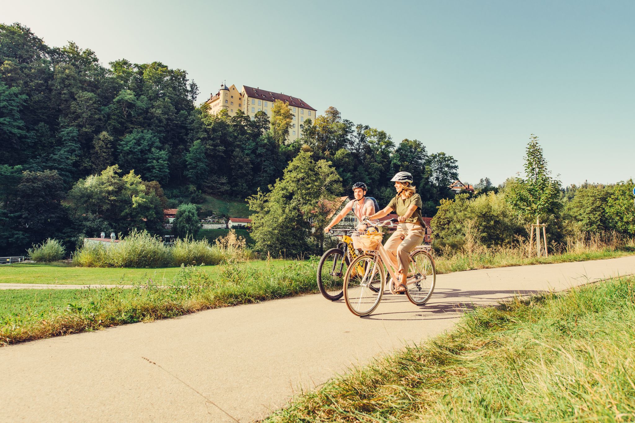
6 stages on the Kocher-Jagst cycle path through southern Germany
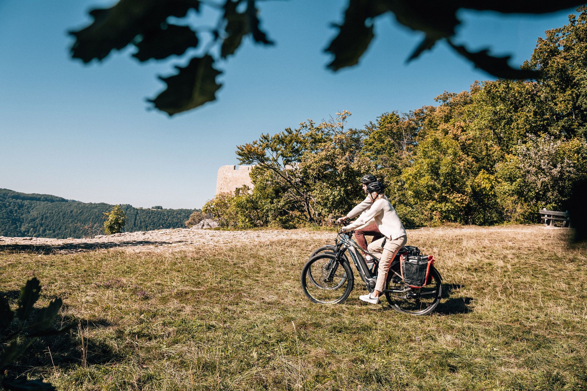
Breathe in the mountain air – long-distance cycle paths in the Swabian Alb
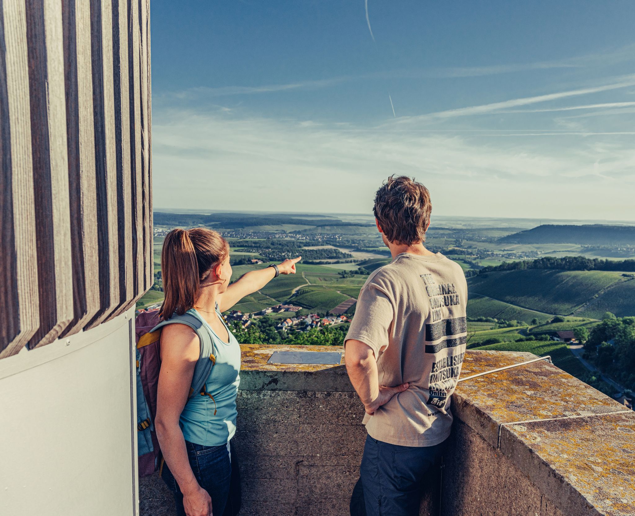
Ride to the most beautiful viewpoints in northern Baden-Württemberg
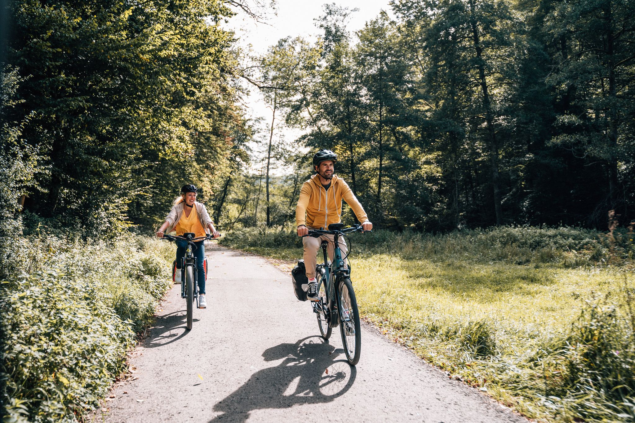
Cycle touring trio in the Swabian Alb
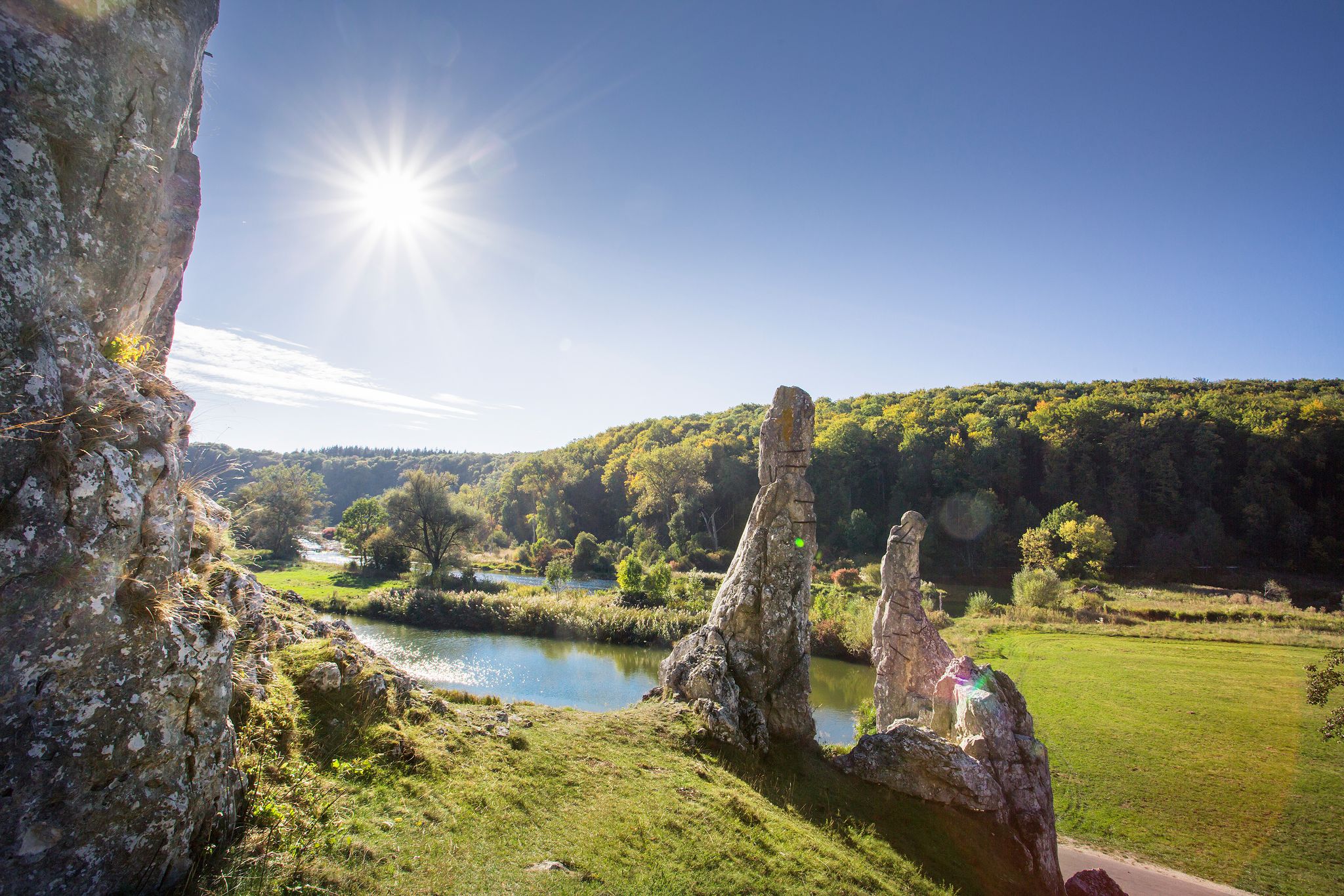
Picturesque valleys on Germany’s Württemberg Valley Cycle Path
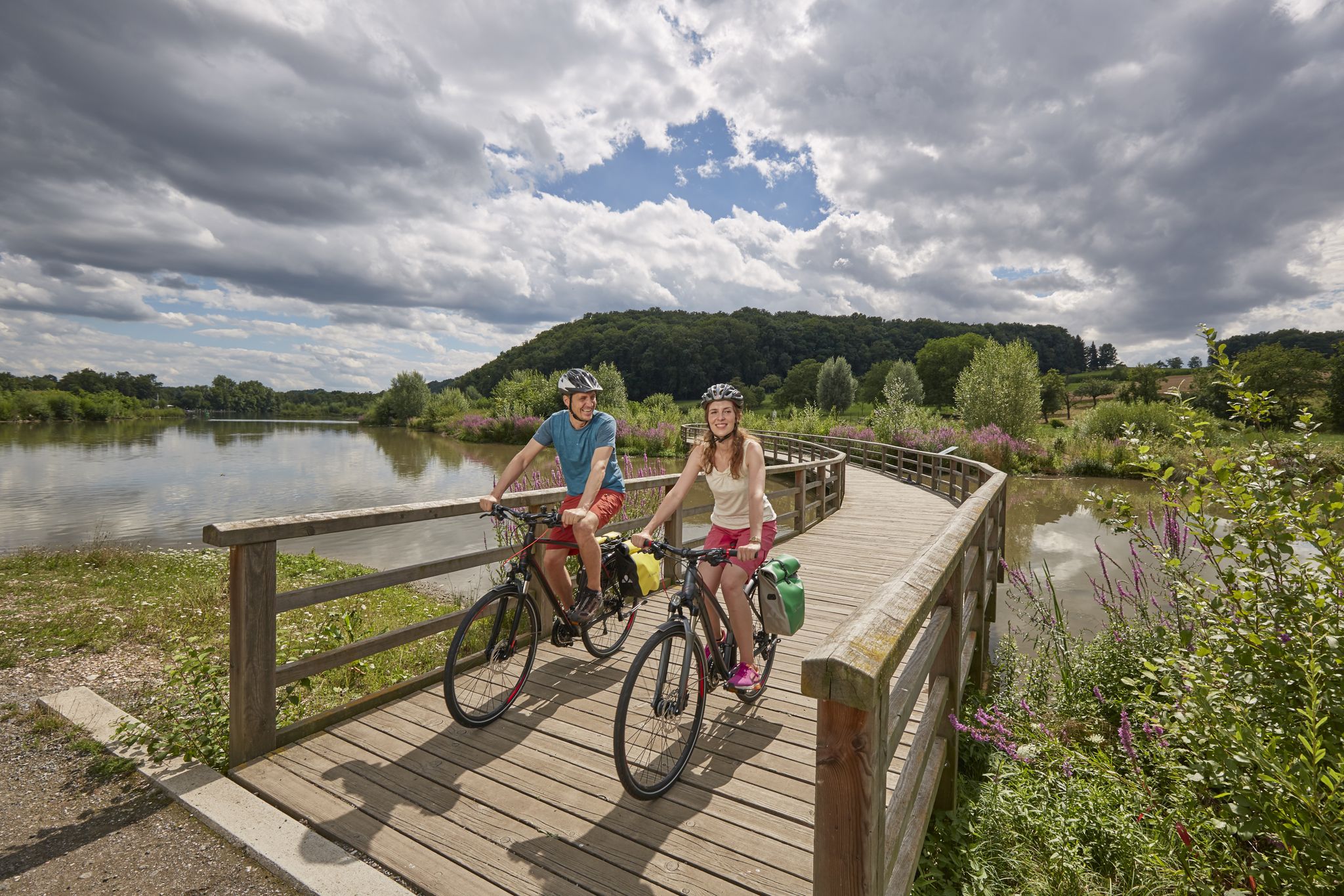
Long-distance cycle routes in Baden-Württemberg – endless rivers and lakes
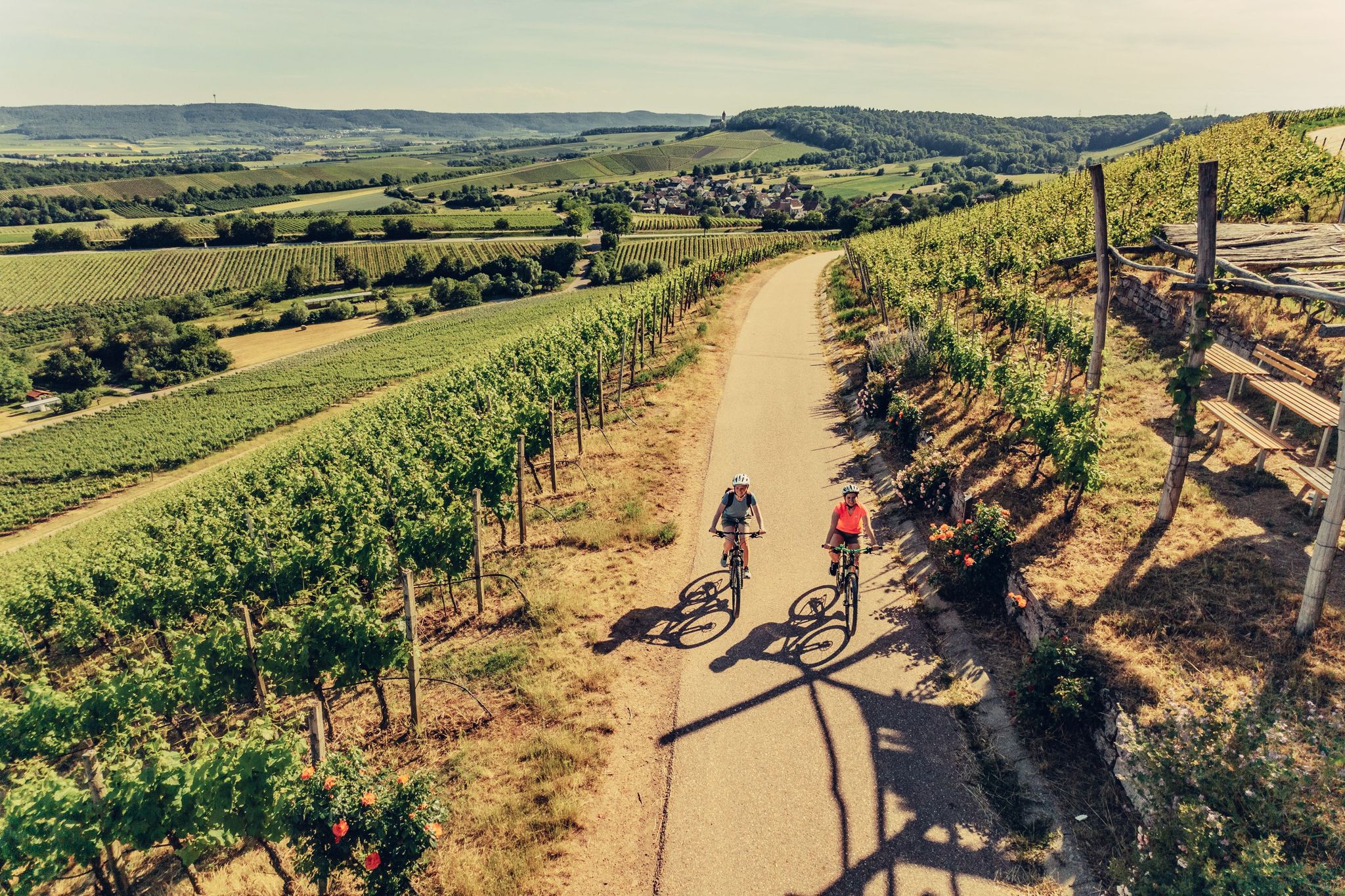
E-bike day Tours along the Tauber, Kocher, Jagst and Neckar rivers
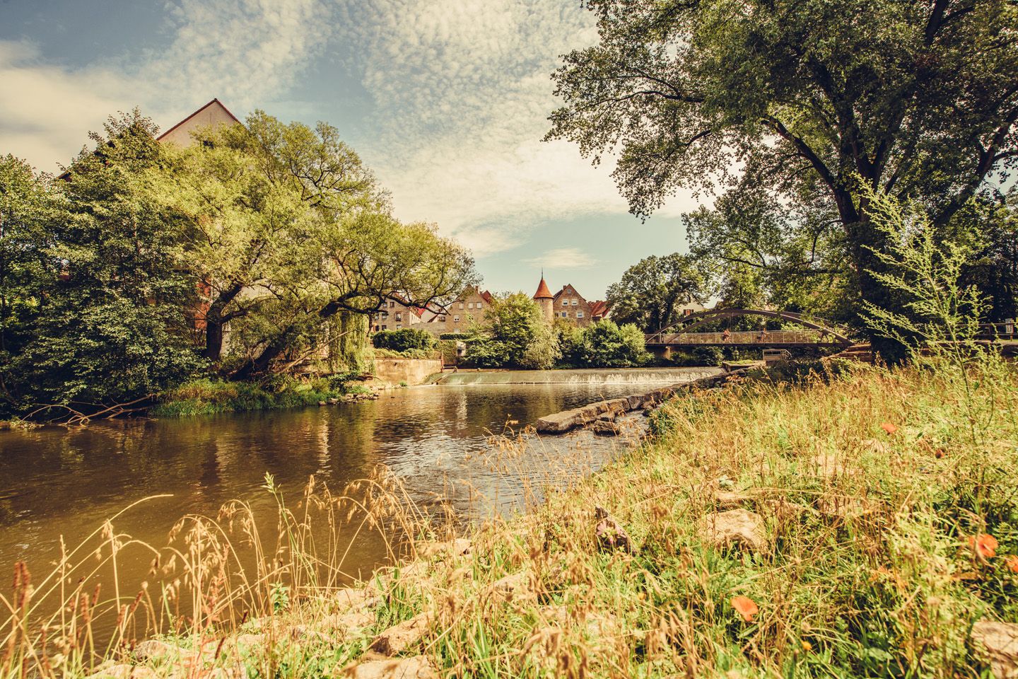
Relaxed river riding in Germany – Kocher-Jagst Cycle Path
Other adventures around Crailsheim


Tips from the Community

Always beautiful again - I'll gladly come back
0
0

Always beautiful and worth seeing
0
0

You have to see this! So beautiful :-)
0
0

For the past few years, restaurants have offered the option of sitting outside.
0
0

Beautiful bike path next to the county road between Goldbach and Crailsheim. Excellent surface. No bumps or potholes. Rest area and beautiful scenery included.
1
0

View of the Jagst under the bridge
3
0

Town Hall Tower Gable front with protruding five-story massive tower, the top floor in octagonal form with Italianate dome and lantern, flanked by narrow side sections with volute gables that connect to the tower, the facades framed by pilaster strips, the entrance in a concave, grooved niche with a Margravial coat of arms cartouche between Brandenburg eagles, above an inscription plaque; built on behalf of Margrave Friedrich Wilhelm by Chief Building Director Carl Friedrich von Zocha from 1717 to 1719
2
0
Single-nave hall building with gable roof, slightly recessed, three-sided polygonal choir, sacristy extension with steep pent roof, high west tower with octagonal bell storey under double-curved Welsch hood, consecrated in 1393, tower added in 1477 and raised in 1728,
2
0
Frequently Asked Questions
What kind of terrain can I expect on road cycling routes around Crailsheim?
Road cycling around Crailsheim offers a diverse landscape. You'll find a mix of mostly paved surfaces, with routes traversing picturesque river valleys, extensive forests, and rolling hills. Some segments feature significant elevation changes as you climb wooded mountains, rewarding you with fantastic distant views, while others lead through agricultural plains with fragrant meadows and fruit trees.
Are there historical sites or natural landmarks to see along the road cycling routes?
Yes, the region is rich in both natural beauty and historical significance. You can cycle past the historic Old Town of Kirchberg an der Jagst or the medieval Old Town of Vellberg. Natural features include the scenic Blinde Rot Valley and the dramatic Teufelsklinge gorge. Crailsheim itself boasts the historic Johanneskirche and the popular Burgbergturm.
When is the best time of year for road cycling in Crailsheim?
The best time to enjoy road cycling in Crailsheim is typically during June and July, when the weather is most favorable. However, autumn also offers beautiful scenery, especially on routes like the WälderTour Ost, as the leaves change color, providing a vibrant backdrop for your ride.
Are there any challenging road cycling routes for experienced riders?
Absolutely. While many routes are moderate, the region offers segments with significant elevation changes, particularly in the wooded mountains. For instance, the Descent to the Brettach – Ascent to Leofels loop from Crailsheim features substantial climbs and descents, providing a good challenge for those seeking more demanding rides.
What do other road cyclists enjoy most about cycling in Crailsheim?
The area is highly rated by the komoot community, with an average score of 4.5 stars from over 160 reviews. Cyclists often praise the diverse landscapes, from tranquil river valleys to rewarding climbs with panoramic views, and the extensive network of well-maintained paths suitable for various skill levels.
Are there family-friendly road cycling routes suitable for all ages?
Yes, Crailsheim offers options for families. Routes that follow the river valleys, such as sections of the Kocher-Jagst Cycle Route, tend to be flatter and more leisurely, making them ideal for families or those looking for a relaxed ride. These paths often wind through meadows and past orchards, providing a pleasant experience for all.
Can I bring my dog on road cycling routes around Crailsheim?
While many routes are suitable for cycling with a dog, it's important to ensure your dog is accustomed to running alongside a bike and that you adhere to local leash laws, especially in populated areas or nature reserves. Always carry enough water for both yourself and your dog, and be mindful of other cyclists and pedestrians.
Are there any circular road cycling routes starting from Crailsheim?
Yes, many routes around Crailsheim are designed as loops, allowing you to start and finish in the same location. A popular example is the Ellwangen – Bucher Reservoir loop from Crailsheim, which takes you through varied landscapes and back to your starting point.
What are some notable long-distance cycling routes that pass through or near Crailsheim?
Crailsheim is an excellent base for exploring several renowned long-distance routes. The ADFC-certified 4-star quality Kocher-Jagst Cycle Route passes through the region, as does the historic German Limes Cycle Route. Additionally, the Württemberg Wine Route offers a scenic journey through wine-growing areas with rolling hills.
Are there routes that explore the region's lakes and ponds?
Yes, some routes specifically highlight the region's water features. For example, the Reiglersbachsee – Bridge Over the Jagst loop from Crailsheim leads you through varied landscapes, including the picturesque Reiglersbachsee, offering tranquil views along the way.
Can I find routes that combine cycling with visits to charming towns?
Absolutely. The region around Crailsheim is dotted with charming villages and historic towns. The 'Magisches Dreieck' (Magical Triangle) route, for instance, connects Crailsheim with the beautiful towns of Dinkelsbühl and Ellwangen, allowing you to explore their sights while enjoying your ride. Another option is the Dinkelsbühl Old Town – Wörnitztor Dinkelsbühl loop from Crailsheim.
What kind of natural landscapes will I encounter on the routes?
You'll experience a rich tapestry of natural landscapes. Expect to cycle alongside the serene Kocher and Jagst river valleys, through extensive forests like those in the Ellwanger Berge, and across the agricultural beauty of the Hohenlohe Plain with its fragrant meadows and fruit trees. Rolling hills and wooded mountains also provide varied scenery and rewarding views.
Most popular routes around Crailsheim
Most popular attractions around Crailsheim

Get inspired with the komoot mobile app


Explore more
Browse the best Road cycling routes in other regions.
