The best hikes from bus stations around Altena
4.5
(2809)
9,362
hikers
117
hikes
Bus station hiking trails around Altena are set within Germany's Sauerland region, characterized by a hilly landscape and dense forests covering approximately 60% of the area. The Lenne River meanders through the town, offering paths along its banks, while the Fuelbecke Reservoir provides scenic views. This area is part of the Sauerland Rothaargebirge Nature Park, featuring forest mountains and river valleys.
Best bus station hiking trails around Altena
- The most popular bus station hiking route is Sauerland Höhenflug – Altena…
Last updated: May 14, 2026
4.7
(54)
216
hikers
17.9km
05:10
500m
310m
Hard hike. Very good fitness required. Easily-accessible paths. Suitable for all skill levels.
4.9
(24)
83
hikers
17.3km
05:02
450m
460m
Hard hike. Very good fitness required. Easily-accessible paths. Suitable for all skill levels.

Sign up for free
4.8
(44)
171
hikers
5.50km
01:39
160m
160m
Easy hike. Great for any fitness level. Easily-accessible paths. Suitable for all skill levels.
4.9
(53)
185
hikers
15.5km
04:24
340m
340m
Moderate hike. Good fitness required. Easily-accessible paths. Suitable for all skill levels.
4.6
(60)
167
hikers
8.65km
02:23
150m
150m
Moderate hike. Good fitness required. Easily-accessible paths. Suitable for all skill levels.
Get access to more routes and recommendations from other explorers.
Sign up for free
Already have an account?
Our route recommendations are based on thousands of hikes, rides, and runs completed by other people on komoot.
Start today with a free account
Your next adventure awaits.
Login or Signup
Other adventures around Altena


Tips from the Community

I ride up here more often and am looking for other people who would like to ride with me. I am also happy to help other people with one or the other climb.
0
0
Very good with the EMTB
0
0

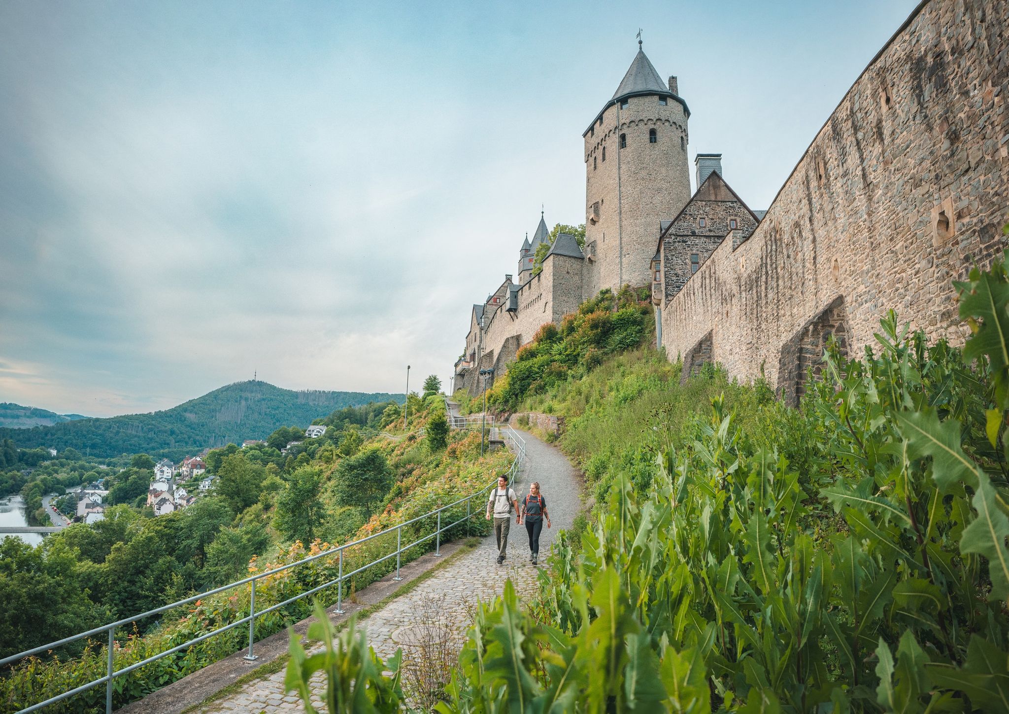
Magnificent valley view over the Lenne from the castle!
1
0
The castle's inner courtyard is very beautiful. It also features a permanent stage where, among other things, large-scale symphony concerts have been performed (e.g., Carmina Burana with the choir of the Märkisches Jugendsinfoniechester – magnificent!).
1
0
Beautiful old half-timbered houses in Altena's old town. Unfortunately, some of them are not well maintained and in places appear run-down.
1
0
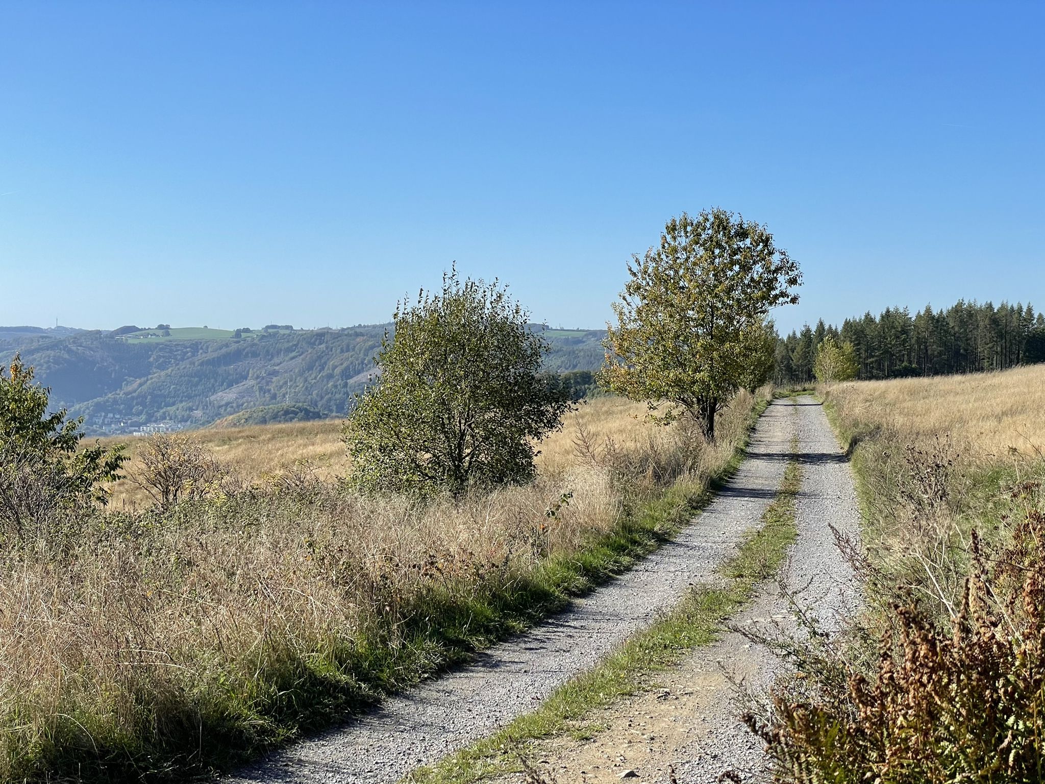
On the Kohlberg there are new, finely gravelled paths with a great panorama.
1
0

Quiet, beautiful forest path along the fields
0
0

Frequently Asked Questions
How many hiking trails are accessible directly from bus stations in Altena?
Altena offers a wide selection of routes accessible by public transport. There are over 100 hiking trails that start conveniently near bus stations, providing diverse options for all skill levels.
What types of trails can I expect when hiking from Altena's bus stations?
You'll find a variety of trails, from easy strolls along the Lenne River to challenging long-distance paths. The region is characterized by hilly landscapes, dense forests, and scenic river valleys. Options include circular routes, historical paths, and sections of longer trails like the Sauerland-Höhenflug.
Are there any easy, family-friendly hikes starting from a bus station in Altena?
Yes, there are many easy routes suitable for families. For instance, the area around the Fuelbecke Reservoir offers pleasant, easy walks. You could also consider the Altena Castle Courtyard – Altena Castle loop from Altena, which is an easy 5.4 km hike with historical interest.
What are some notable attractions or landmarks I can see on bus-accessible hikes in Altena?
Many routes offer access to significant landmarks. You can explore the impressive Altena Castle, perched atop a hill with panoramic views. Other natural highlights include the Feldhof Cave and the unique Felsenmeer (Hemer), a protected natural monument with rugged rock formations.
Are there any challenging long-distance hikes that can be started from a bus station in Altena?
Absolutely. Altena is a starting point for sections of the certified Sauerland-Höhenflug trail. A challenging option is the Sauerland Höhenflug – Altena Castle to the Hönnequelle, a difficult 17.9 km route with significant elevation changes.
Can I find hikes that include caves or unique natural features near Altena's bus stations?
Yes, the region is known for its caves. A demanding route like Altena Castle to the Dechenhöhle will lead you towards the famous Dechenhöhle, Germany's largest show cave. The Höhlen-Steig trail also explores several caves in the area.
What is the best time of year to go hiking from bus stations in Altena?
The best seasons for hiking in Altena are spring and autumn. During these times, the weather is mild, and nature is at its most vibrant, with blossoming plants in spring and colorful foliage in autumn. The dense woodlands provide beautiful scenery year-round.
Are there any circular hiking routes available from Altena's bus stations?
Yes, many routes are designed as circular trails, allowing you to start and end at the same point, often conveniently near a bus stop. The Klusensteinweg is an example of a circular route offering fantastic views through forests and past the prominent Klusenstein rock.
What do other hikers say about the trails around Altena?
The hiking trails around Altena are highly rated by the komoot community, with an average score of 4.53 stars. Reviewers often praise the diverse and picturesque landscapes, the well-maintained paths, and the historical attractions like Altena Castle that can be incorporated into routes.
Are there any moderate hikes that offer good views or interesting stops?
For a moderate challenge with scenic rewards, consider the Schultenhof Farm Café – Quitmann Tower on the Kohlberg loop from Ihmert. This route offers views and includes a farm café, perfect for a break. Another moderate option is the Quitmann Tower on the Kohlberg – Hans Schmidt Shelter loop from Ihmert.
Can I find information about the history of the region while hiking?
Yes, several trails delve into the region's rich history. The Historic Wire Trade Route (Drahthandelsweg) is a 32-kilometer themed trail that allows hikers to follow in the footsteps of wire makers, connecting Altena to other historical towns.
Most popular routes around Altena
Most popular attractions around Altena

Get inspired with the komoot mobile app


Explore more
Browse the best Hikes in other regions.
