The best hikes from bus stations around Bergisch Gladbach
4.5
(9246)
35,352
hikers
538
hikes
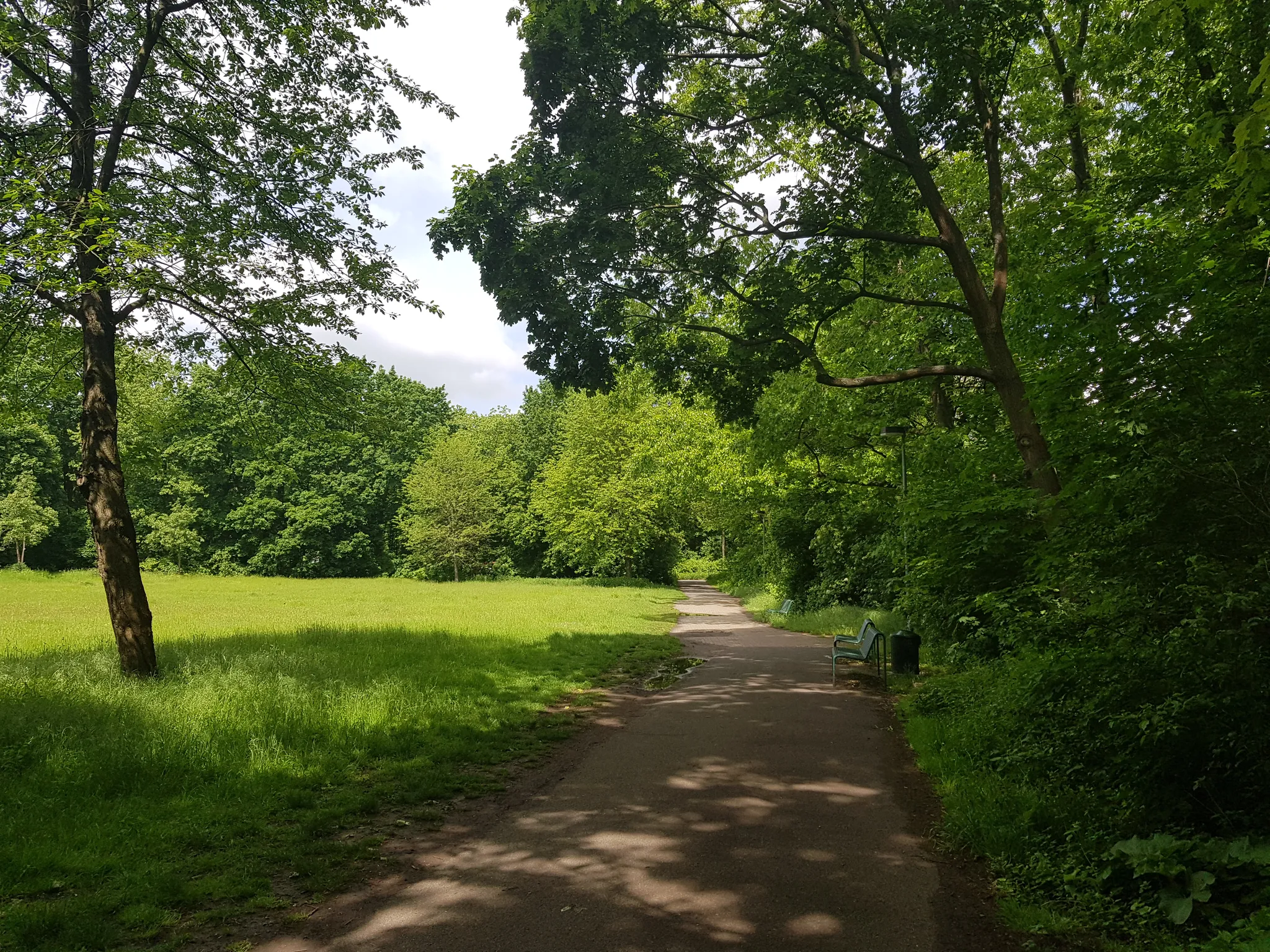
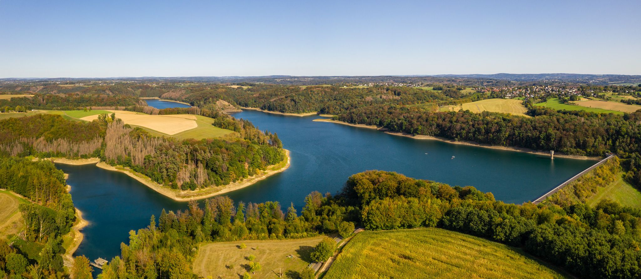
Hiking around Bergisch Gladbach offers diverse and scenic natural landscapes within the Bergisches Land Nature Park. The region is characterized by rolling hills, lush forests, and picturesque valleys, providing varied terrain for outdoor activities. Numerous reservoirs and lakes, such as the Dhünn Reservoir, are also prominent features. These natural elements create a compelling environment for bus station hiking trails, accessible throughout the year.
Best bus station hiking trails around Bergisch Gladbach
- The most popular bus station hiking route is Zweiffel…
Last updated: August 6, 2026
4.8
(332)
949
hikers
12.5km
03:31
250m
260m
Moderate hike. Good fitness required. Mostly accessible paths. Sure-footedness required.
4.7
(227)
792
hikers
15.9km
04:19
230m
230m
Moderate hike. Good fitness required. Easily-accessible paths. Suitable for all skill levels.

Sign up for free
4.8
(6)
21
hikers
26.0km
07:17
500m
540m
Hard hike. Very good fitness required. Mostly accessible paths. Sure-footedness required.
4.7
(212)
621
hikers
6.34km
01:48
140m
140m
Easy hike. Great for any fitness level. Easily-accessible paths. Suitable for all skill levels.
4.7
(246)
826
hikers
18.6km
05:00
240m
240m
Hard hike. Very good fitness required. Easily-accessible paths. Suitable for all skill levels.
Get access to more routes and recommendations from other explorers.
Sign up for free
Already have an account?
Our route recommendations are based on thousands of hikes, rides, and runs completed by other people on komoot.
Start today with a free account
Your next adventure awaits.
Login or Signup
Popular around Bergisch Gladbach
Germany's Cologne Trail — Explore Cologne's surprising sides
Bergische Rambles – themed and adventure trails in the Bergisches Land region
Hike and indulge in regional delights in Bergisches Land
The Bergische Weg - Germany's most beautiful hiking trail 2024
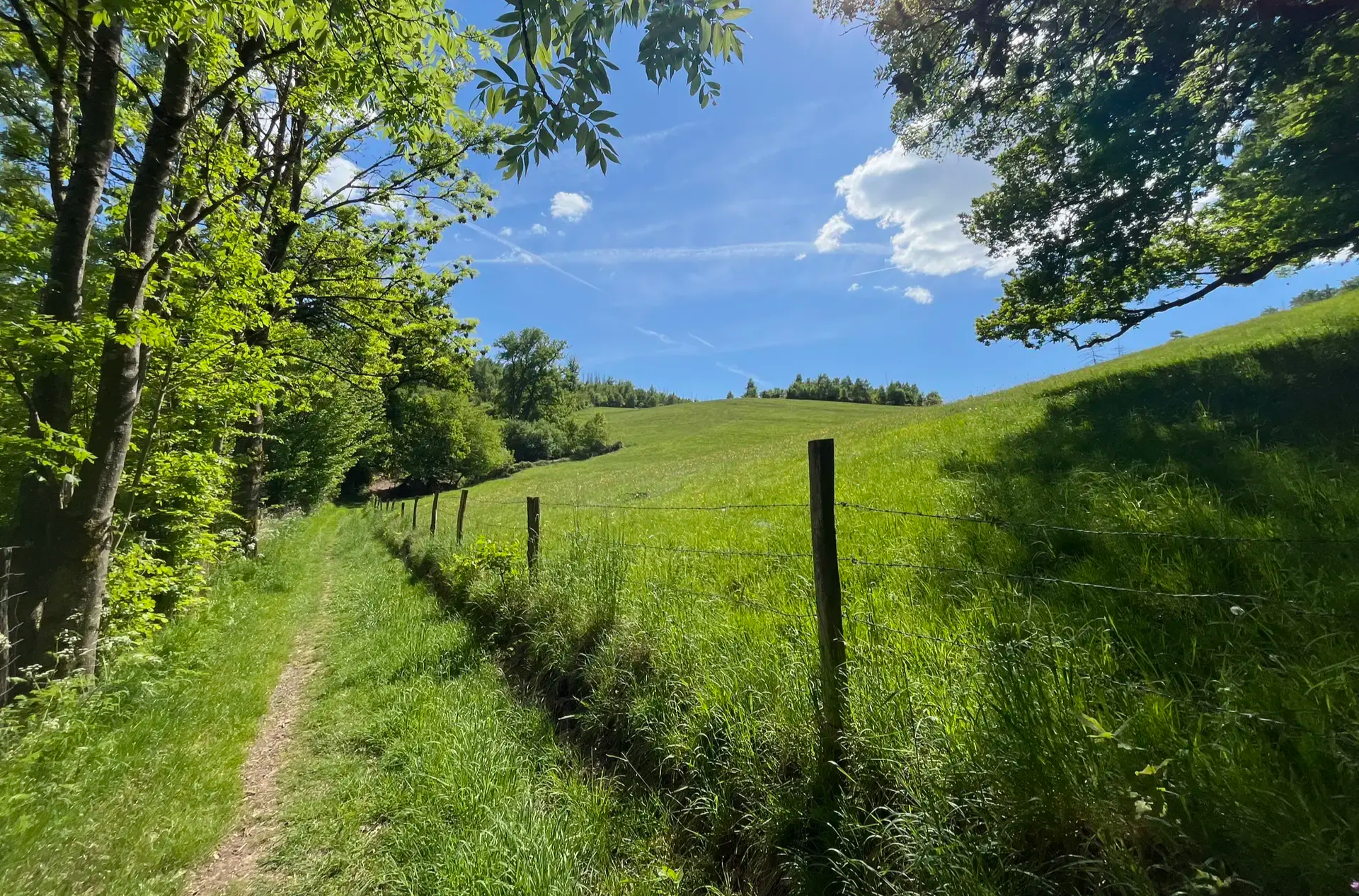
Wasser, Wald und Weitblick – Aktivtouren im Bergischen Land
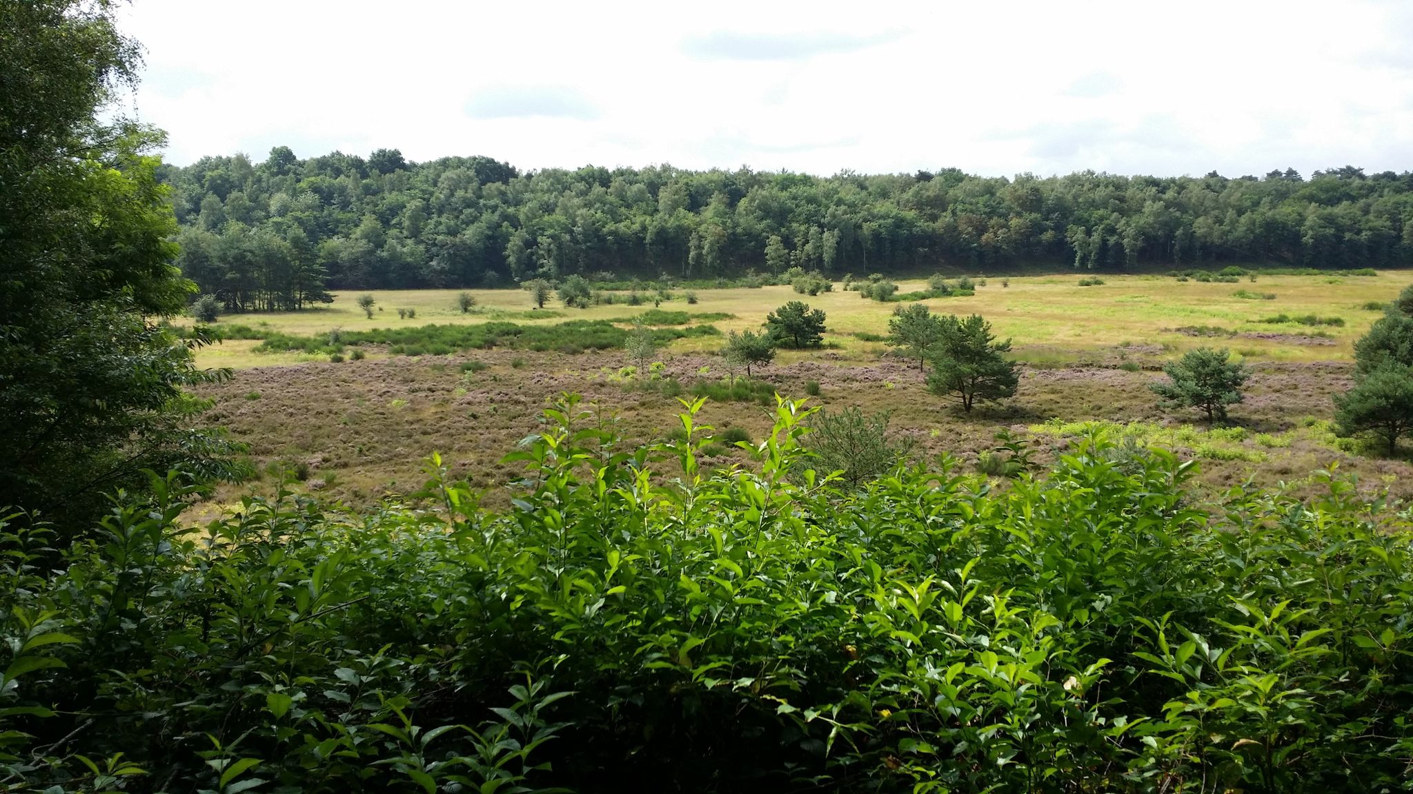
Audiotouren im DBU-Naturerbe Wahner Heide
Other adventures around Bergisch Gladbach


Tips from the Community

The Saaler Mühle recreation park is a green jewel on the outskirts of Bergisch Gladbach-Bensberg – a place where nature, relaxation, and small adventures come together perfectly. 🌿💚 Nestled in a wonderful landscape with a large lake, old trees, and historical traces, the park invites you to linger, move, and enjoy.
0
0

On hot, sunny days, this hollow path, carved into the soft loess soil by the growth of trees on both sides, is a very welcome, shady respite from the open fields. Following the ascent, the hiker reaches the beautiful, half-timbered St. Rochus Chapel.
10
0

<< Blücher Mine in the Hardt Nature Reserve >> "... Historical Development Industrial mining began here when the Blücher mining area was claimed on July 28, 1847. Advances in the zinc industry at that time led to a veritable zinc rush in the Bensberg ore district, in which Belgian businessmen played a significant role. The Blücher Mine was officially awarded to Charles Détilleux, a Belgian entrepreneur living in Paris, on June 28, 1850. At the same time, he was awarded the Napoleon Mine in the western part of the deposit. The mines, named after the Waterloo opponents, were managed jointly from the outset. They received permission to establish an associated ore processing plant in March 1855. All rights and facilities were transferred in 1857 to the Rheinischer Bergwerks-Aktienverein Saturn, which was founded in Cologne in the same year by predominantly Belgian shareholders. In the first years of operation, zinc ore was predominantly extracted from the older, pre-industrial dumps. The previously worthless zinc ore had simply been dumped by the "old men." For example, in 1854, approximately 3,800 quintals of zinc ore concentrate were extracted compared to only 13 quintals of lead ore concentrate. In the following years, this ratio normalized until it reached approximately 1 to 7 in 1862, thus adjusting to the geological conditions of the deposit. The underground mining operations also initially achieved good results, particularly at the 40- and 70-meter levels. In 1861, the machine shaft was modernized with a new steam boiler. The processing plant was expanded to include new crushing and rolling mills, as well as setting machines, and relocated upslope. Neighboring mining areas were acquired to enable permanent operation. In November 1862, the Katzbach and Wahlstatt mines were integrated. For a short time, the Blücher mine became one of the most profitable mines in the region, especially for the Saturn company. The number of employees rose to almost 280. Zinc production, in particular, was of great importance and was surpassed at the time only by the Lüderich mine. In 1869, other neighboring companies were incorporated, including Galvani, Madonna, and Norma. The "Consolidated Blücher Mine" now comprised 13 mining areas, extending across almost the entire Hardt forest area. THE FOLLOWING HISTORY AND FURTHER INFORMATION: https://www.kuladig.de/Objektansicht/KLD-267703
0
0
Anyone who enjoys water, forests, and the loud chatter of ducks and geese will truly enjoy this loop around Lake Bensberg. This lake is also popular with joggers. 👍
2
0

From the bench by the Lerbach stream, you can look out into an idyllic wetland. Supposedly, "special species" live there. But when asked, the authorities declined to reveal which ones exactly. Is this even true? The neighboring sand piles, embankments, and embankments are very popular with children for playing. This is permitted because the mine site—unlike the surrounding Hardt Nature Reserve—is exempt from nature conservation. https://nsg.naturschutzinformationen.nrw.de/nsg/de/fachinfo/gebiete/gesamt/GL-066
6
0

A beautiful hiking area 🥾🍀🤩
2
0


Always great views. Unfortunately, many asphalt roads that are also used by various vehicles
1
0
Frequently Asked Questions
How many bus-accessible hiking trails are there around Bergisch Gladbach?
The Bergisch Gladbach region offers a vast network of over 530 hiking trails that are easily accessible by bus. This includes a wide range of options, from leisurely strolls to more challenging routes, ensuring there's something for every hiker.
Are there easy hiking trails accessible by bus in Bergisch Gladbach?
Yes, Bergisch Gladbach is home to over 360 easy hiking trails that can be reached via public transport. Many of these routes wind through picturesque areas like the Lerbacher Wald or along the Strunde valley. An example of an easy route is the Gut Lerbach Milk Station – St. Rochus Chapel, Sand loop from Strundetal, which offers a pleasant walk through varied landscapes.
What kind of terrain can I expect on bus-accessible hikes in Bergisch Gladbach?
Hikes around Bergisch Gladbach accessible by bus feature diverse terrain, from rolling hills and lush forests to picturesque valleys and heathland. You'll encounter well-maintained paths, natural forest floors, and sometimes gentle ascents, particularly in areas like the Königsforst or Lerbacher Wald. The region's characteristic landscape within the Bergisches Land Nature Park ensures varied and scenic walking experiences.
Are there circular hiking routes that start and end at bus stations?
Yes, many of the bus-accessible trails in Bergisch Gladbach are designed as circular routes, allowing you to start and finish your hike conveniently at the same bus stop. For instance, the Zweiffel Castle – Herrenstrunder Pond loop from Bergisch Gladbach is a moderate circular tour that offers diverse scenery.
What natural attractions can I discover on bus-accessible hikes in Bergisch Gladbach?
Bus-accessible hikes in Bergisch Gladbach lead to numerous natural attractions. You can explore the expansive Königsforst nature reserve with its ancient forests and streams, or the scenic Lerbacher Wald known for its quarry ponds. Some routes may also take you near the Dhünn Reservoir, Germany's second-largest drinking water dam, surrounded by rich natural habitats. You might even reach Mount Troodelöh — Cologne's Highest Point or Tütberg (Highest point in the Königsforst).
Are there any historical landmarks or castles along these bus-accessible routes?
Absolutely. The region is rich in history and features several impressive landmarks accessible from bus stops. You can often find routes that pass by magnificent structures like Bensberg Castle or the grand Bensberg Palace. Other historical sites, such as traditional half-timbered houses in charming villages, are also common sights along the trails.
Can I find viewpoints on hikes accessible by bus in Bergisch Gladbach?
Many bus-accessible hiking trails in Bergisch Gladbach offer impressive panoramic views from hilltops, especially within the rolling landscapes of the Bergisches Land. Keep an eye out for routes that lead to elevated points, such as the Unobstructed view of the Cologne countryside from Lüderich, providing stunning vistas of the surrounding countryside.
Are there family-friendly hiking options accessible by bus in Bergisch Gladbach?
Yes, Bergisch Gladbach offers many family-friendly hiking options that are easily reached by bus. These trails are typically shorter, have gentler gradients, and often pass by interesting features or picnic spots. The diverse natural settings, such as the Königsforst, provide engaging environments for children to explore.
Are dogs allowed on bus-accessible hiking trails in Bergisch Gladbach?
Generally, dogs are welcome on most hiking trails in Bergisch Gladbach, provided they are kept on a leash, especially in nature reserves and near wildlife. It's always a good idea to check local signage for specific rules in certain areas, but the region is largely dog-friendly for responsible owners.
What is the best time of year for hiking in Bergisch Gladbach using public transport?
Bergisch Gladbach's temperate climate makes it enjoyable for hiking throughout the year. Spring brings blooming wildflowers, summer offers lush green landscapes, and autumn transforms the forests into a spectacle of colors. Even mild winters can be pleasant for a crisp walk. Public transport operates reliably in all seasons, making bus-accessible hikes a year-round option.
Are there cafes or pubs near bus-accessible hiking trails for refreshments?
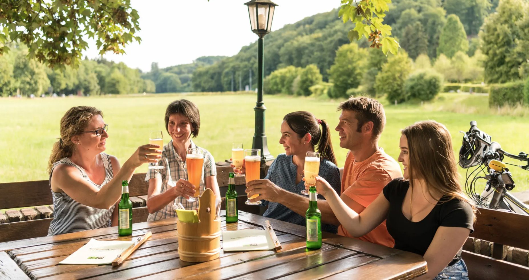
Yes, you'll often find charming cafes, traditional pubs, or restaurants in the villages and towns that serve as starting or ending points for bus-accessible hikes. These establishments are perfect for a refreshment break or a meal after your walk. Some routes might even pass by places like the Flohberg Pub, offering a convenient stop.
What do other hikers enjoy most about hiking in Bergisch Gladbach?
The komoot community highly rates the hiking experience in Bergisch Gladbach, with an average score of 4.49 stars. Reviewers often praise the region's diverse and well-maintained trails, the serene beauty of its forests and valleys, and the convenience of accessing many routes via public transport. The variety of landscapes, from the Königsforst to the charming Strundetal, is frequently highlighted as a major draw.
Are there any more challenging bus-accessible hikes in the area?
For those seeking a greater challenge, Bergisch Gladbach also offers more difficult bus-accessible routes. These trails typically feature longer distances and more significant elevation changes. An example is the Grube Cox Lakes – Bensberg Castle loop from Gierather Wald, which provides a demanding yet rewarding experience through varied terrain.
Most popular routes around Bergisch Gladbach
Most popular attractions around Bergisch Gladbach

Get inspired with the komoot mobile app


Explore more
Browse the best Hikes in other regions.
