The best hikes from bus stations around Sasbachwalden
4.6
(45308)
169,827
hikers
108
hikes
Bus station hiking trails around Sasbachwalden navigate a landscape characterized by extensive vineyards, dense Black Forest woodlands, and rolling meadows. The region features notable natural attractions such as the Gaishöll Waterfalls and the higher elevations of Hornisgrinde Mountain. Hikers can experience varied terrain, from gentle vineyard paths offering views of the Rhine plain to more challenging routes through gorges and up mountains.
Best bus station hiking trails around Sasbachwalden
- The most popular bus station hiking route is Premium trail -…
Last updated: October 6, 2026
4.8
(1180)
4,072
hikers
10.0km
03:07
380m
380m
Moderate hike. Good fitness required. Easily-accessible paths. Suitable for all skill levels.
4.7
(593)
2,202
hikers
8.35km
02:36
300m
300m
Moderate hike. Good fitness required. Easily-accessible paths. Suitable for all skill levels.

4.4
(15)
47
hikers
2.93km
00:52
90m
90m
Easy hike. Great for any fitness level. Easily-accessible paths. Suitable for all skill levels.
4.8
(78)
304
hikers
19.4km
06:43
1,010m
1,010m
Hard hike. Very good fitness required. Mostly accessible paths. Sure-footedness required.
4.9
(41)
158
hikers
Moderate hike. Good fitness required. Mostly accessible paths. Sure-footedness required.
Get access to more routes and recommendations from other explorers.
Already have an account?
Our route recommendations are based on thousands of hikes, rides, and runs completed by other people on komoot.
Start today with a free account
Your next adventure awaits.
Popular around Sasbachwalden
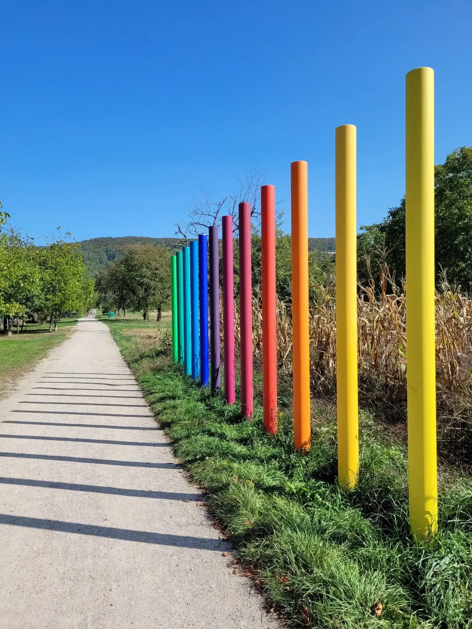
Outdoor Art – art trails in the Black Forest
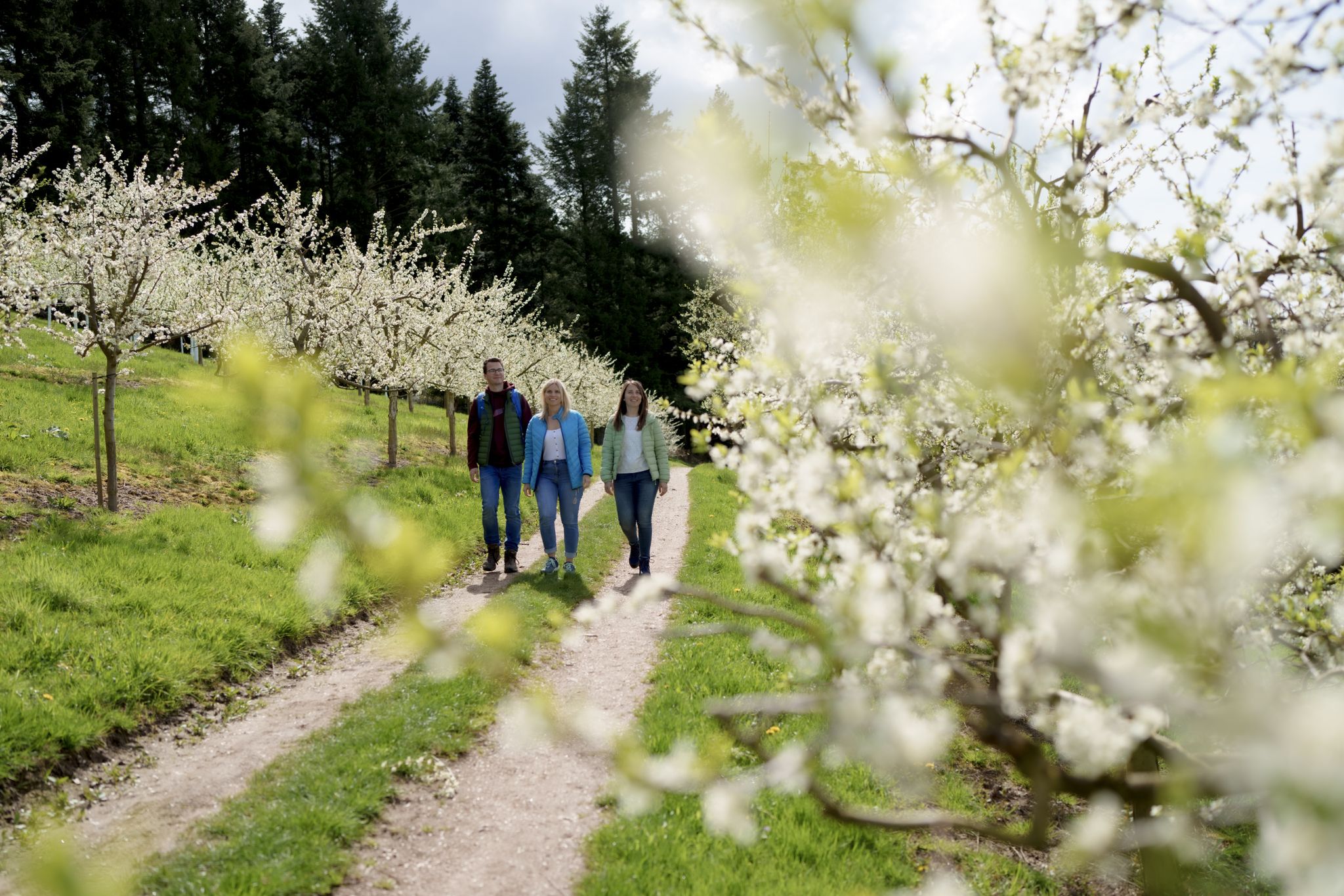
Hiking between Baden's vineyards, wildflowers & green lizards
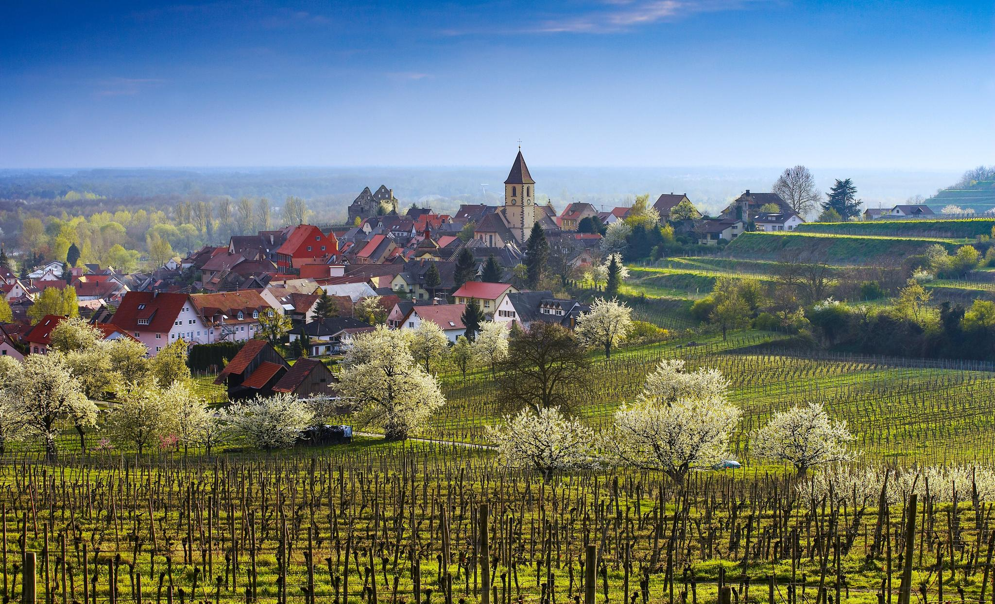
Dreaming in the valley – low-lying spring trails in the Black Forest

Coolcation in the Black Forest – hiking and cooling off in summer
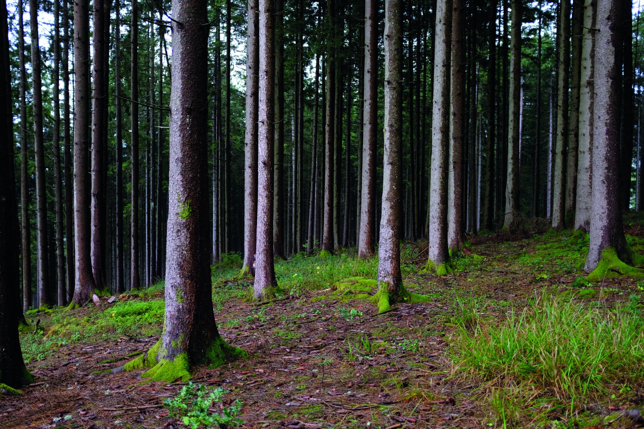
Deep in the Black Forest - Crossing on the Westweg

Hikes to seasonal taverns along the Baden Wine Route in Germany
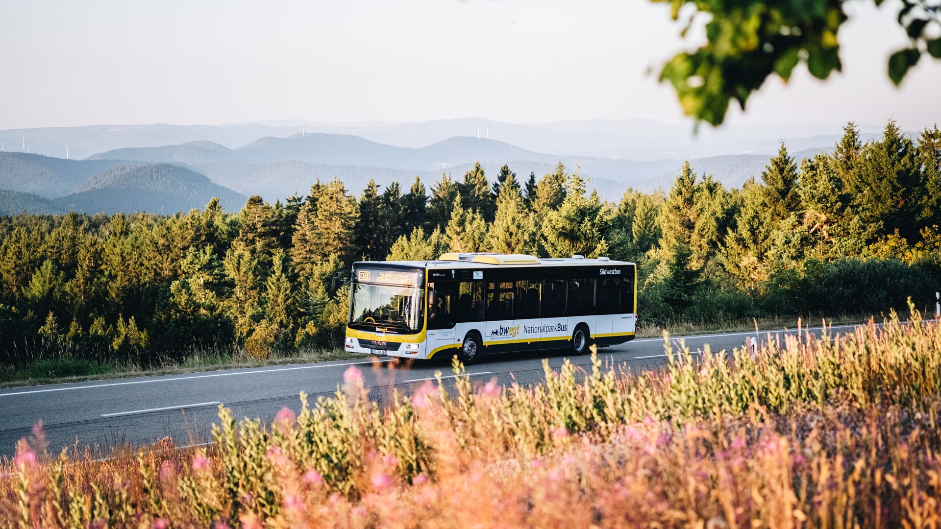
Pure nature: discover the Black Forest by bus and train
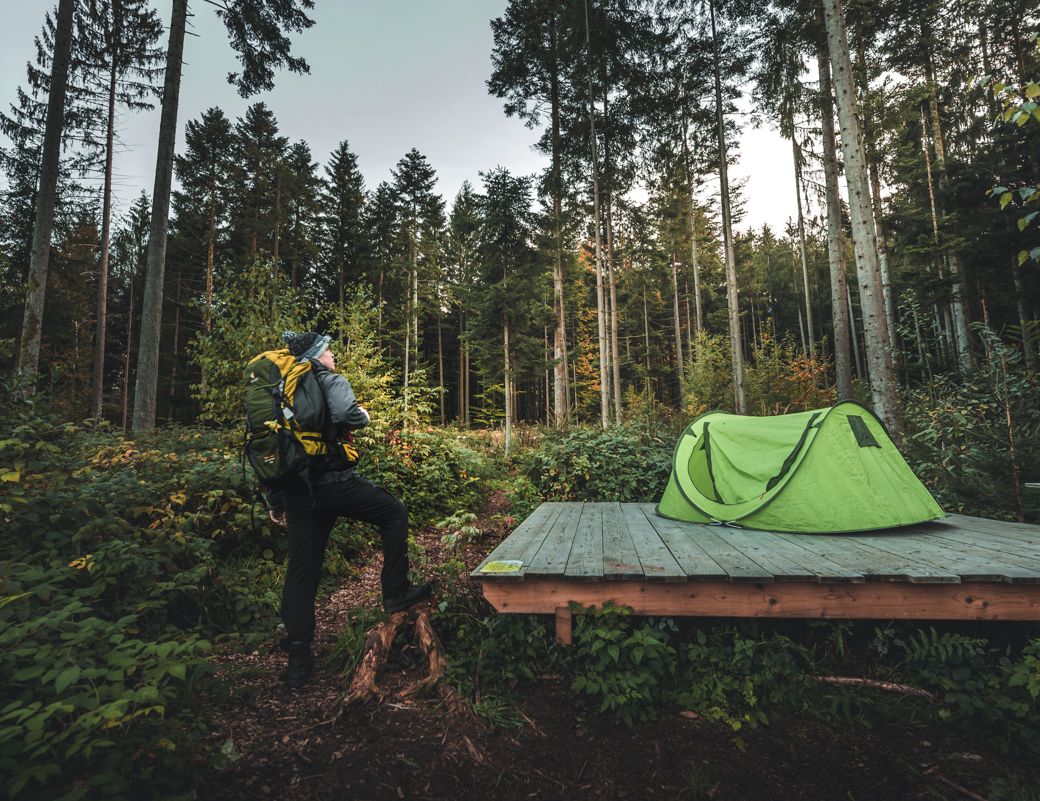
Special overnight stays and trekking camps in the Black Forest
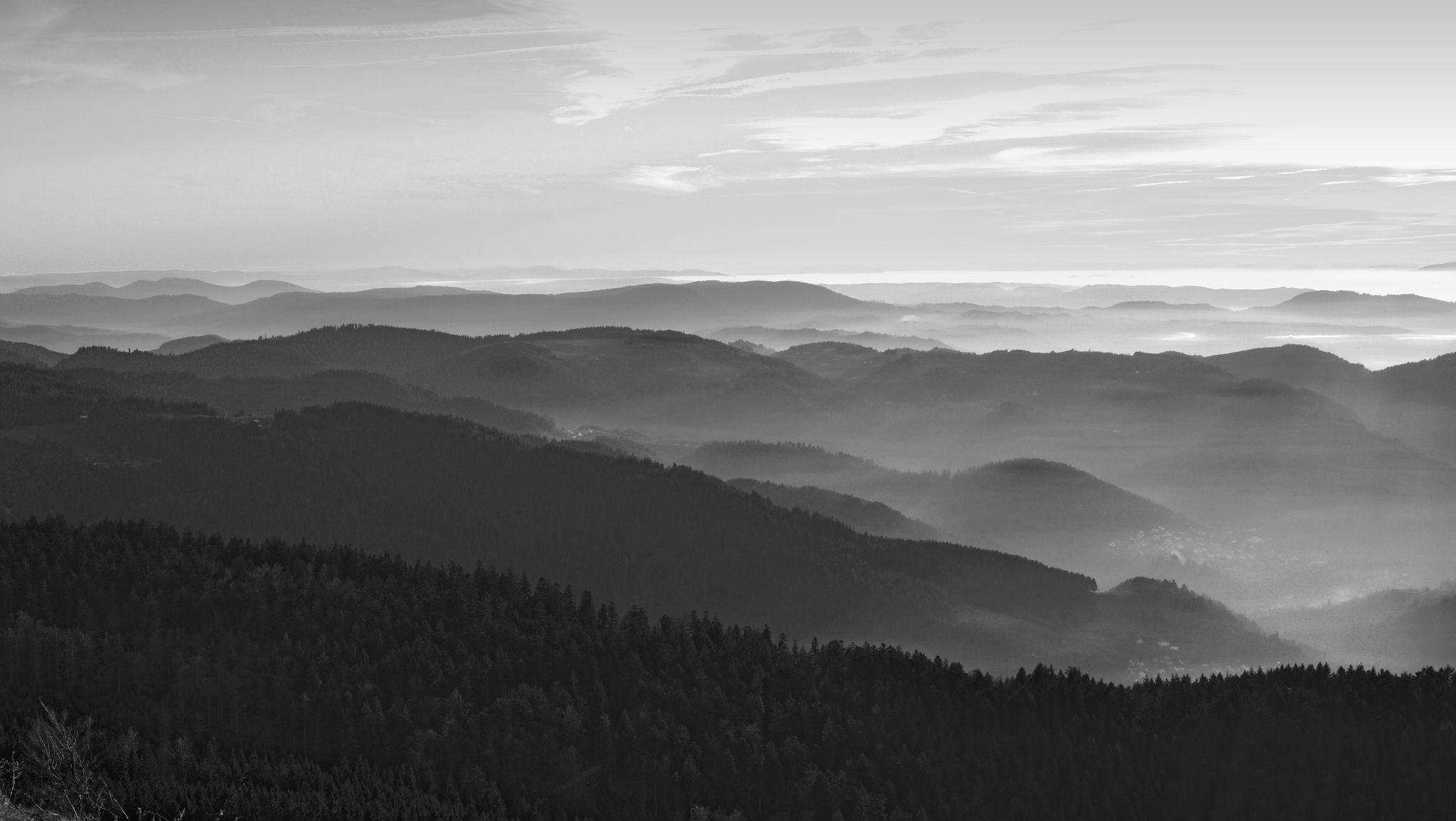
Let yourself be enchanted — hiking in the mystical Black Forest
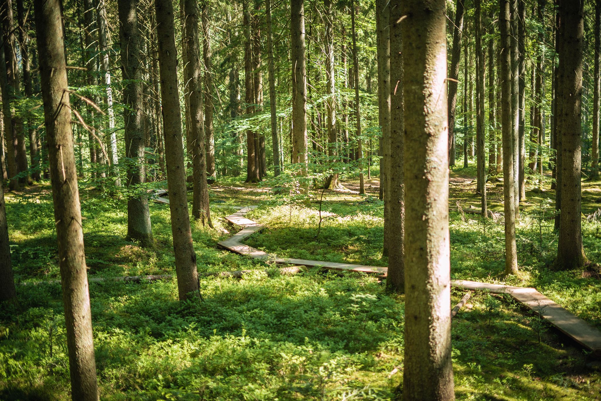
Adventure trails in the Black Forest for young and old alike
Other adventures around Sasbachwalden


Tips from the Community

best schnapps fountain with extra fridge for non-alcoholic drinks
0
0

On the way down from Hornisgrinde, you have this view of Mummelsee.
3
0

Wonderful view of the vineyards around Sasbachwalden, as well as the village lying in the valley. In good weather, the view extends westwards deep into the Rhine plain, all the way to the Vosges.
3
0
Covered resting place, which can also serve as shelter in case of precipitation, which can be reached by a small path from the Gaishöll-Wasserfälle hiking trail.
6
0
Ortskern of Sasbachwalden with lots of beautiful historic half-timbered houses, located directly on the central valley road.
6
0

The water of the Brandbach plunges down here through a narrow gorge called Gaishölle. Over the centuries, the great drop of the water has washed away the huge rocks and erratic boulders lying on the valley floor. This created a wildly romantic forest gorge with many waterfalls. In the past, one could not walk through the valley normally. If one wanted to cross the gorge, one had to "geißen", meaning to move by climbing like a chamois (goat). "Hölle" is in turn an age-old name for a narrow, wild area with many rocks and stones. In 1880, a hiking trail was first laid out through the wildly romantic Gaishölle. The maintenance and care of this trail then led in 1882 to the founding of a special "beautification association", today's "Heimat- und Verkehrsvereines Sasbachwalden". Some interesting data: Trail length: approx. 800 m Steps: 225 Bridges: 13 Elevation difference: 154 m Access Murbergstraße: 338 m above sea level
1
0
The water of the Brandbach stream plunges down here through a narrow gorge called Gaishölle. Over the centuries, the great drop in the water has washed away the huge rocks and boulders lying on the valley floor. This created a wild and romantic forest gorge with many waterfalls. In the past, one could not walk normally through the valley. If one wanted to cross the gorge, one had to "geißen", meaning to move like a chamois (goat) by climbing. The "Hölle" is in turn an age-old name for a narrow, wild area with many rocks and stones. In 1880, a hiking trail was first laid out through the wild and romantic Gaishölle. The maintenance and care of this trail then led to the founding of a special "beautification society" in 1882, today's "Heimat- und Verkehrsvereines Sasbachwalden". Some interesting data: Trail length: approx. 800 m Steps: 225 Bridges: 13 Altitude difference: 154 m Access Murbergstraße: 338 m above sea level
1
0
The water of the Brandbach stream plunges down here through a narrow gorge called Gaishölle. Over the centuries, the great drop in the water has washed away the huge rocks and erratic boulders lying on the valley floor. This created a wild and romantic forest gorge with many waterfalls. In the past, it was not possible to walk through the valley normally. If you wanted to cross the gorge, you had to "geißen", meaning to move forward by climbing like a chamois (goat). "Hölle" (hell) is an old name for a narrow, wild area with many rocks and stones. In 1880, a hiking trail was first created through the wild and romantic Gaishölle. The maintenance and care of this trail then led to the founding of a special "beautification association" in 1882, today's "Heimat- und Verkehrsvereines Sasbachwalden" (Local and Tourist Association Sasbachwalden). Some interesting facts: Trail length: approx. 800 m Steps: 225 Bridges: 13 Elevation difference: 154 m Access Murbergstraße: 338 m above sea level
2
0
Frequently Asked Questions
How many bus-accessible hiking trails are there around Sasbachwalden?
There are over 100 hiking trails around Sasbachwalden that are easily accessible by bus, offering a wide range of options for all skill levels. These include 53 easy routes, 53 moderate routes, and 4 more challenging trails.
What do other hikers say about the bus-accessible trails in Sasbachwalden?
The bus-accessible trails in Sasbachwalden are highly regarded by the komoot community, with an average rating of 4.6 out of 5 stars from over 37,500 reviews. Hikers frequently praise the diverse landscapes, well-maintained paths, and the convenience of public transport access.
Are there circular routes available from bus stations in Sasbachwalden?
Yes, many of the bus-accessible trails in Sasbachwalden are circular, allowing you to start and end your hike at the same bus stop. A popular example is the Premium trail - Alde Gott panoramic trail near Sasbachwalden, which offers stunning views and returns you to your starting point.
Can I visit waterfalls on bus-accessible hikes in Sasbachwalden?
Absolutely! The region is famous for its waterfalls. You can explore the captivating Gaishöll Waterfalls on a bus-accessible hike like the Gaishöll Waterfalls – Gaishöll Waterfall Bridges loop from Sasbachwalden. Other notable waterfalls in the area include the Edelfrauengrab Waterfalls and All Saints Waterfalls.
Are there any unique attractions like the Schnapsbrunnenwege accessible by bus?
Yes, Sasbachwalden is renowned for its unique 'Schnapsbrunnenwege' (Schnapps Fountain Trails). While specific bus stops might vary, many of these trails, featuring fountains offering local schnapps and other beverages, are designed to be accessible from the village center, which is well-served by buses. These trails offer a culturally immersive experience alongside beautiful scenery.
What kind of views can I expect on bus-accessible hikes?
Bus-accessible hikes around Sasbachwalden offer incredibly diverse views. You'll traverse sun-drenched vineyards with panoramic vistas of the Rhine plain and the distant Vosges Mountains, lush Black Forest woodlands, and open meadows. Higher routes, such as those near Hornisgrinde, provide expansive 360-degree views from points like the Bismarck Tower.
Are there easy bus-accessible hikes suitable for beginners or families?
Yes, Sasbachwalden offers many easy bus-accessible routes perfect for beginners or families. These trails often wind through vineyards and orchards, providing gentle gradients and beautiful scenery without being overly strenuous. Look for routes marked as 'easy' in the guide for suitable options.
Are there more challenging bus-accessible hikes for experienced hikers?
For experienced hikers seeking a challenge, there are several difficult bus-accessible routes. One such demanding option is the Bismarck Tower, Hornisgrinde – Hornisgrinde Tower loop from Sasbachwalden, which involves significant elevation gain and offers spectacular views from the highest mountain in the Northern Black Forest.
Are bus-accessible trails in Sasbachwalden dog-friendly?
Most hiking trails in the Sasbachwalden region are dog-friendly, provided dogs are kept on a leash, especially in nature protection areas or near livestock. It's always a good idea to bring water for your dog, particularly on longer routes or during warmer weather. Specific rules might apply in certain sections, so always observe local signage.
What is the best time of year to hike from bus stations in Sasbachwalden?
Sasbachwalden offers beautiful hiking experiences year-round. Spring brings blooming orchards and vineyards, while summer provides lush green forests and pleasant temperatures. Autumn is particularly stunning with vibrant fall foliage and grape harvests. Even winter offers charm, with snow-dusted landscapes, though some higher trails might require appropriate gear or be less accessible.
Are there places to eat or drink along the bus-accessible trails?
Yes, Sasbachwalden is known for its hospitality. Many trails pass through or near the village, offering opportunities to stop at local restaurants and cafes. Additionally, the unique Schnapsbrunnenwege provide self-service options for local beverages directly on the trail, perfect for a refreshing break.
Can I explore historical sites or castles on bus-accessible hikes?
While the primary focus of bus-accessible hikes is nature, the region does have historical significance. You can find historical sites like the All Saints' Abbey ruins or various castle ruins such as Schauenburg Castle Ruins and Windeck Castle in the broader area. Some bus routes might bring you closer to these points of interest, allowing for a combined hiking and cultural experience.
Most popular routes around Sasbachwalden
Most popular attractions around Sasbachwalden

Get inspired with the komoot mobile app


Explore more
Browse the best Hikes in other regions.
