The best hikes from bus stations in Deggendorf
4.5
(6913)
30,004
hikers
1,138
hikes
Hiking in Deggendorf offers a diverse range of landscapes, situated at the southern edge of the Bavarian Forest and alongside the Danube River. The region features wooded mountains, rolling hills, and an 800-meter altitude difference within its urban area. Trails lead through ancient forests, along the Danube Valley, and to various peaks and viewpoints. This varied topography provides options for different hiking experiences.
Best bus station hiking trails in Deggendorf
- The most popular bus station hiking route is Schauflinger Goldsteig…
Last updated: May 14, 2026
4.7
(14)
70
hikers
18.8km
05:42
630m
630m
Hard hike. Very good fitness required. Easily-accessible paths. Suitable for all skill levels.
4.8
(227)
796
hikers
5.88km
01:55
260m
260m
Easy hike. Great for any fitness level. Easily-accessible paths. Suitable for all skill levels.

Sign up for free
4.7
(128)
518
hikers
9.86km
03:19
400m
400m
Moderate hike. Good fitness required. Mostly accessible paths. Sure-footedness required.
4.7
(96)
317
hikers
9.19km
02:43
270m
270m
Moderate hike. Good fitness required. Easily-accessible paths. Suitable for all skill levels.
4.7
(63)
235
hikers
16.8km
05:18
560m
560m
Hard hike. Very good fitness required. Mostly accessible paths. Sure-footedness required.
Get access to more routes and recommendations from other explorers.
Sign up for free
Already have an account?
Our route recommendations are based on thousands of hikes, rides, and runs completed by other people on komoot.
Start today with a free account
Your next adventure awaits.
Login or Signup
Popular around Deggendorf
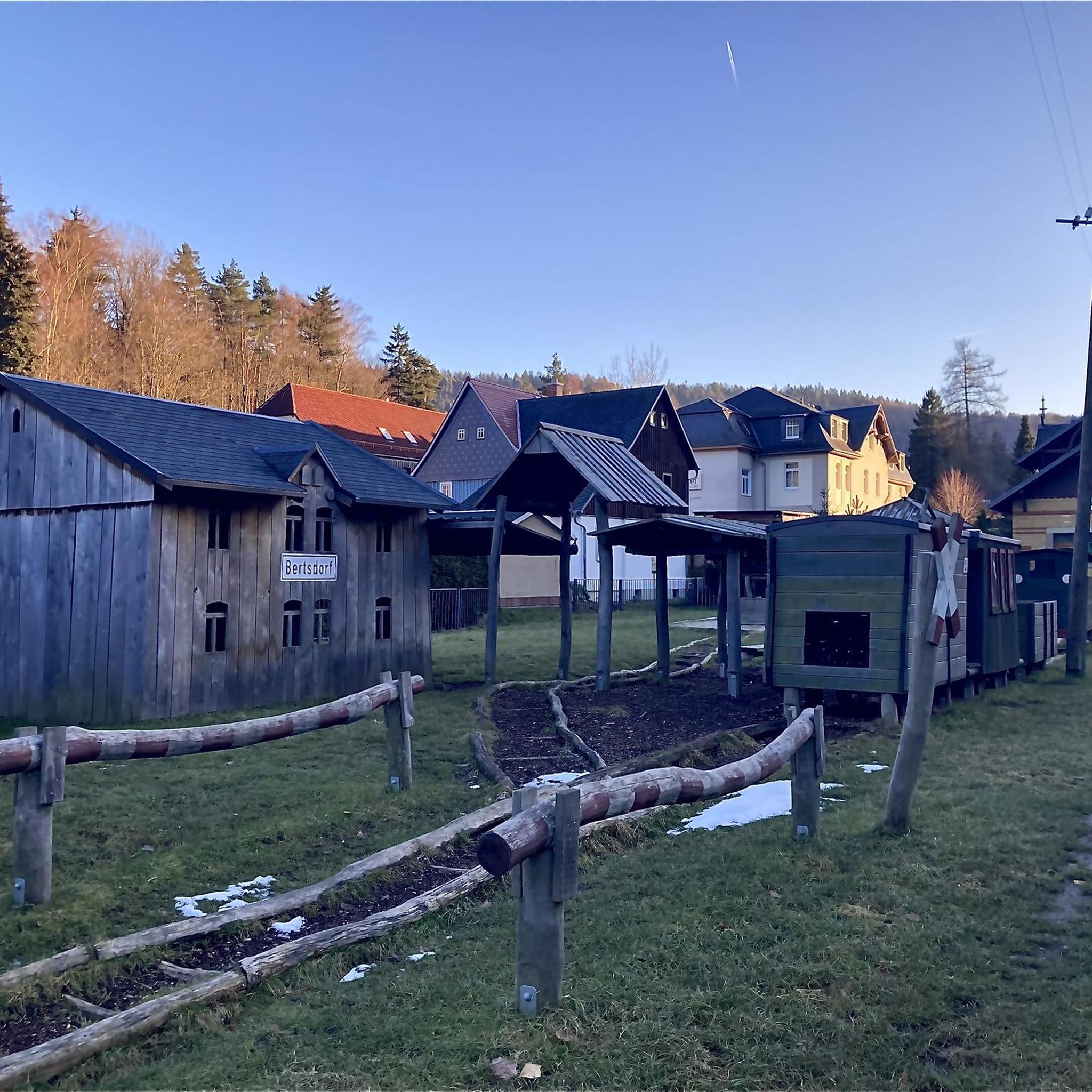
Hikes from bus stations in Oberer Klosterwald
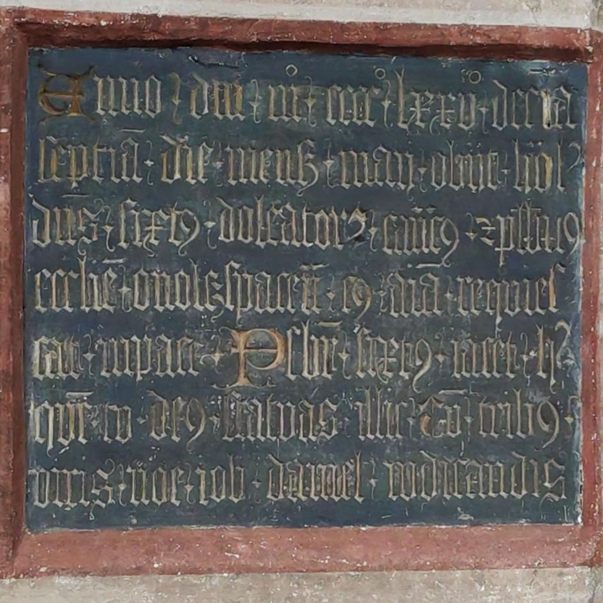
Hikes from bus stations around Plattling
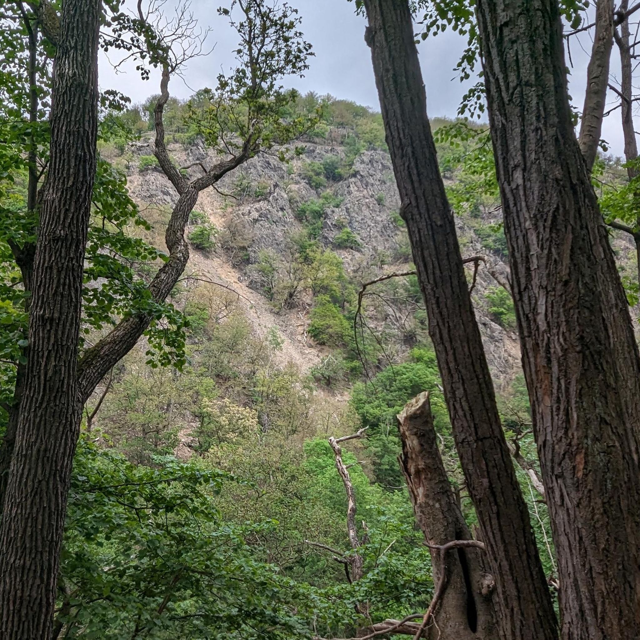
Hikes from bus stations around Isarmündung
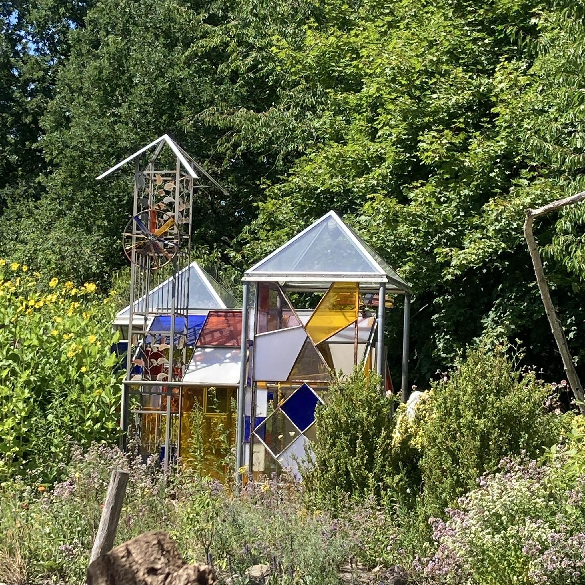
Hikes from bus stations in Bruckbachholz

Hikes from bus stations in Im Biendl

The Goldsteig – 38 stages between Upper Palatinate and Passau
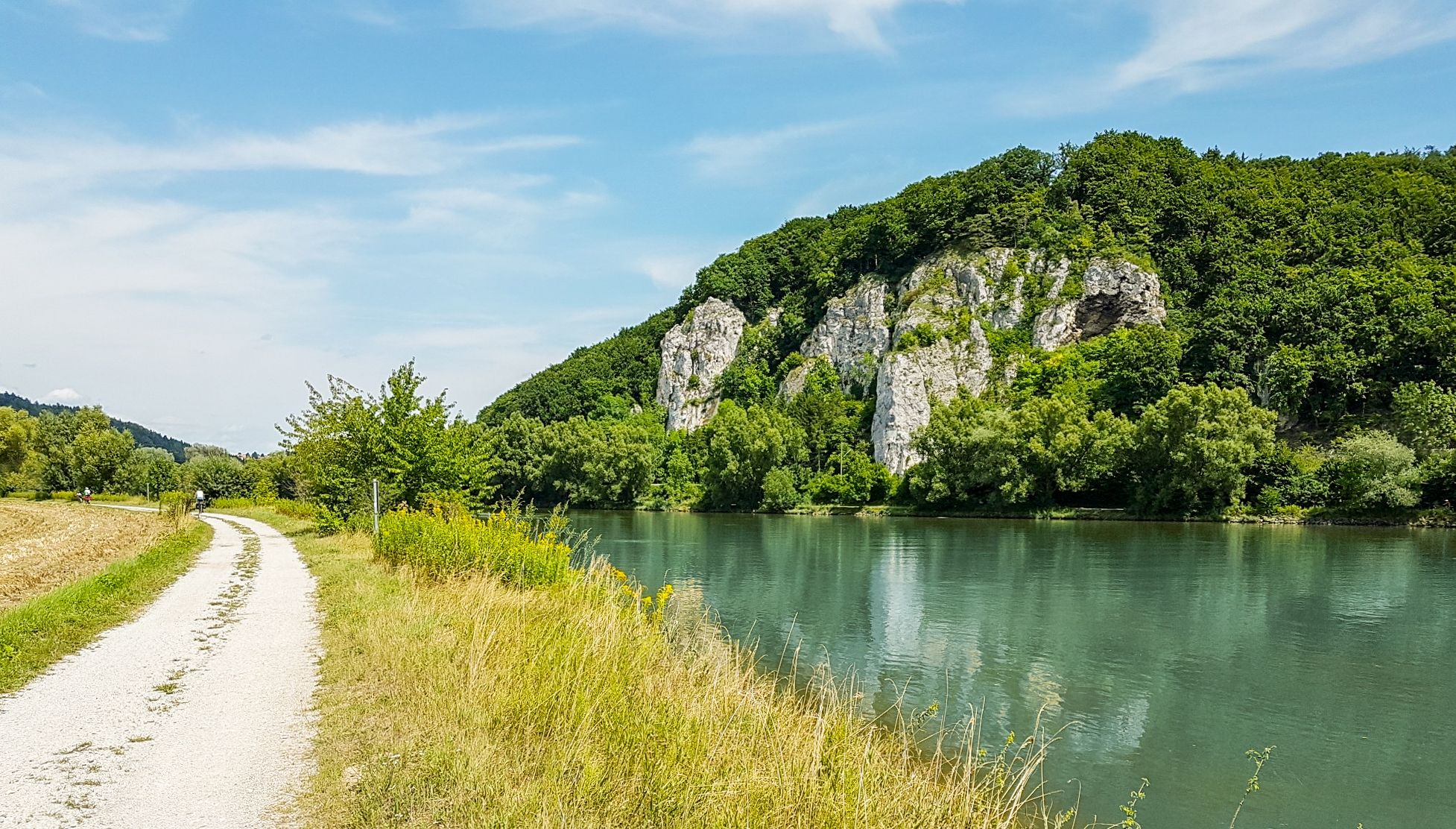
Donau-Panoramaweg – 10 days nature views and cultural insights

Goldsteig — The best routes for long distance hiking in Eastern Bavaria
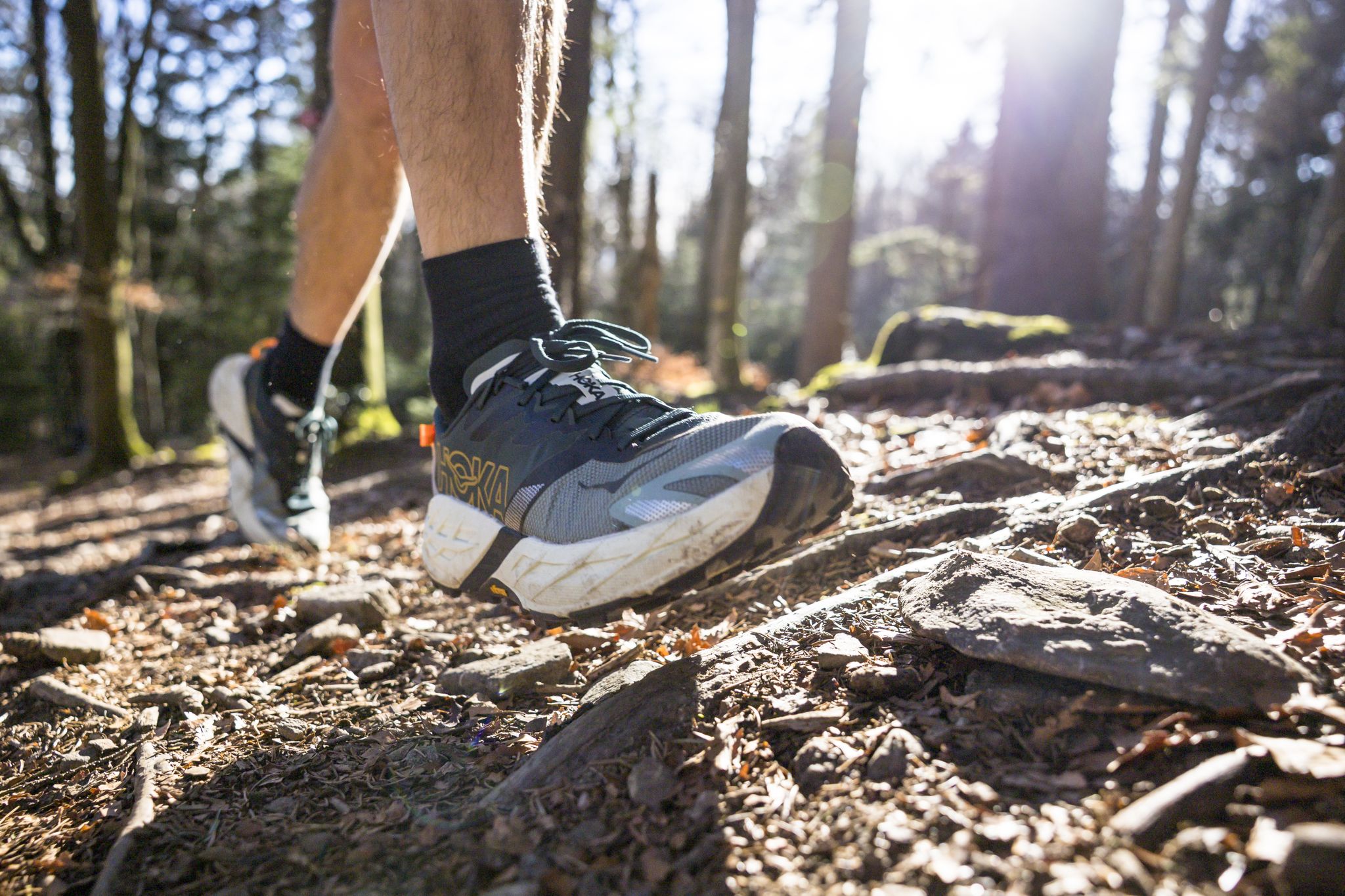
Run Wilder – six trail runs in Germany with the HOKA Speedgoat 7

#GoFurther – discover the views of Germany!
Other adventures in Deggendorf


Tips from the Community

Insane view, one of the most beautiful rocks
0
0

A lovely spot for a break 😉 great view of the Danube Valley 🤩
1
0

A brightly decorated Christmas tree. It's wonderful.
4
0
Well signposted and worthwhile.
4
0
The Hausstein hill became known very early on due to the attempt to build a small monastery there. Johann Heinrich Lutz, Abbot of Niederalteich, elected in 1619, wanted to restore monastic life in Niederalteich to the original strictness of the Benedictine Rule, but encountered strong resistance from older monks. He then began building a small monastery for his followers in the Leopoldshochwald forest on the slope of the Hausstein. The dissenting monks in Niederalteich Abbey even appealed to the local ruler to persuade the abbot to abandon his plans. The abbot ultimately had to yield to this opposition and abandon his reform plans. The building on the Hausstein fell into disrepair. In 1992, two private individuals erected a wayside shrine to the Virgin Mary with a cross and inscription. Source: https://gemeindeschaufling.de/sehenswertes/
5
0
It's brutally loud if you put your head in there and hum.
4
0

Bizarre stones & ice, of course only in winter 👌☺️
7
0
There are plenty of parking spaces, so it's a good starting point for a hike in the Bavarian Forest.
5
0
Frequently Asked Questions
How many hiking trails are accessible from bus stations in Deggendorf?
Deggendorf offers a wide selection of hiking trails accessible directly from bus stations, with over 1150 routes available. These range from easy strolls to more challenging mountain tours, catering to various fitness levels.
Are there easy or family-friendly hiking trails accessible by bus in Deggendorf?
Yes, Deggendorf has numerous easy and family-friendly options. For a pleasant, shorter walk, consider the Little Büchelstein Viewpoint – Büchelstein Viewpoint loop from Kerschbaum. The Danube Cycle Path also offers well-signposted, flatter sections suitable for families. Many routes through the town forest on Geiersberg are also gentle.
Which bus-accessible trails offer the best scenic viewpoints in Deggendorf?
The region is rich in panoramic views. The View from Geßingerstein – Königstein Viewpoint loop from Kanzel provides expansive vistas. Other notable viewpoints include Breitenauriegel Summit, which offers extensive views over the Danube valley, and the observation tower on Geißkopf, often part of various loop trails.
Are there any circular hiking routes that start from bus stations in Deggendorf?
Yes, many routes in Deggendorf are designed as circular trails, making them convenient for public transport users. Examples include the Schauflinger Goldsteig loop – Bavarian Forest for a more challenging option, or the Little Büchelstein Viewpoint – Büchelstein Viewpoint loop from Kerschbaum for an easier hike. The Bernrieder Panorama Trail also offers beautiful circular routes.
Can I find trails with waterfalls or other natural monuments near Deggendorf bus stations?
Absolutely. The impressive Höllbach waterfall is in the immediate vicinity and accessible via trails through dense forests and small streams. Additionally, you can explore natural monuments like the Klausenstein Summit Cross or the Rauher Kulm — Summit & Panoramic Viewpoint, which are often part of routes in the Bavarian Forest.
What is the best time of year for hiking from bus stations in Deggendorf?
Spring and autumn are particularly ideal. In spring, countless wildflowers bloom, and autumn brings brilliant foliage, making both seasons visually stunning for hiking. The Bavarian Forest's diverse ecosystem is vibrant during these times. Summer also offers pleasant conditions, especially at higher altitudes, while winter provides opportunities for snowshoeing or cross-country skiing on suitable trails.
Are there dog-friendly hiking routes accessible by bus in Deggendorf?
Many trails in the Deggendorf region, particularly those through the Bavarian Forest and along the Danube, are dog-friendly. It's always recommended to keep dogs on a leash, especially in nature reserves or near livestock. Always check specific trail regulations for any restrictions before heading out.
Are there any bus-accessible hikes in Deggendorf that include refreshment stops or cafes?
Yes, several routes in the Deggendorf area offer opportunities for refreshment. For instance, some of the local mountain trails lead to the Landshuter Haus, which provides a place to stop for food and drinks. Many villages along the Danube and within the Bavarian Forest also have traditional Bavarian inns or cafes where you can take a break.
What do other hikers enjoy most about hiking in Deggendorf?
The area is highly rated by the komoot community, with an average score of 4.5 stars. Reviewers often praise the diverse landscapes, from the serene Danube Valley to the dense Bavarian Forest, the well-maintained trails, and the stunning panoramic views from peaks like Breitenauriegel and Geißkopf. The accessibility via public transport is also frequently highlighted.
Can I find longer, more challenging hikes from bus stations in Deggendorf?
Yes, for experienced hikers, Deggendorf offers more demanding routes. Sections of the Goldsteig Long-Distance Trail, such as the Schauflinger Goldsteig loop – Bavarian Forest, provide significant ascents and descents. The Breitenauriegel Summit – Geißkopf Observation Tower loop from Rohrmünz is another difficult option, leading to prominent peaks and offering a substantial workout.
Are there any trails near bus stations that pass by lakes or reservoirs in Deggendorf?
Yes, the region features several beautiful water bodies. While not directly on every bus route, some trails will bring you close to highlights like Sattlinger Pond or Parstweiher Reservoir. The floodplain landscape near the confluence of the Isar and Danube also features an important nature reserve with oxbow lakes.
Most popular routes in Deggendorf
Most popular attractions in Deggendorf

Get inspired with the komoot mobile app


Didn’t find what you were looking for?
Check out more Hikes throughout Deggendorf below and find the perfect route in your destination.
Explore more
Browse the best Hikes in other regions.
