Easy hikes and walks in Deggendorf
4.5
(7608)
31,194
hikers
1,603
hikes
Easy hiking trails in Deggendorf offer diverse landscapes, from the foothills of the Bavarian Forest to the banks of the Danube River. The region features varied terrain, including gentle riverside paths, forested hills, and viewpoints providing panoramic vistas. Deggendorf's unique geographical position, with notable elevation changes, allows for a range of experiences suitable for easy walks.
Best easy hiking trails in Deggendorf
- The most popular easy hiking route is Little Büchelstein Viewpoint – Büchelstein Viewpoint loop from Kerschbaum, a…
Last updated: October 9, 2026
4.7
(251)
786
hikers
Easy hike. Great for any fitness level. Easily-accessible paths. Suitable for all skill levels.
4.8
(92)
290
hikers
7.09km
01:58
130m
130m
Easy hike. Great for any fitness level. Easily-accessible paths. Suitable for all skill levels.

4.7
(87)
270
hikers
5.94km
01:39
110m
110m
Easy hike. Great for any fitness level. Easily-accessible paths. Suitable for all skill levels.
4.8
(52)
162
hikers
7.31km
01:51
10m
10m
Easy hike. Great for any fitness level. Easily-accessible paths. Suitable for all skill levels.
4.3
(33)
163
hikers
6.17km
01:44
120m
120m
Easy hike. Great for any fitness level. Easily-accessible paths. Suitable for all skill levels.
4.2
(46)
167
hikers
4.35km
01:22
170m
170m
Easy hike. Great for any fitness level. Easily-accessible paths. Suitable for all skill levels.
4.6
(33)
143
hikers
Easy hike. Great for any fitness level. Easily-accessible paths. Suitable for all skill levels.
4.4
(17)
65
hikers
6.36km
01:46
110m
110m
Easy hike. Great for any fitness level. Easily-accessible paths. Suitable for all skill levels.
4.7
(17)
196
hikers
Easy hike. Great for any fitness level. Easily-accessible paths. Suitable for all skill levels.
4.8
(32)
116
hikers
4.25km
01:13
100m
100m
Easy hike. Great for any fitness level. Easily-accessible paths. Suitable for all skill levels.
Get access to more routes and recommendations from other explorers.
Already have an account?
Our route recommendations are based on thousands of hikes, rides, and runs completed by other people on komoot.
Start today with a free account
Your next adventure awaits.
Popular around Deggendorf

Easy hikes around Plattling
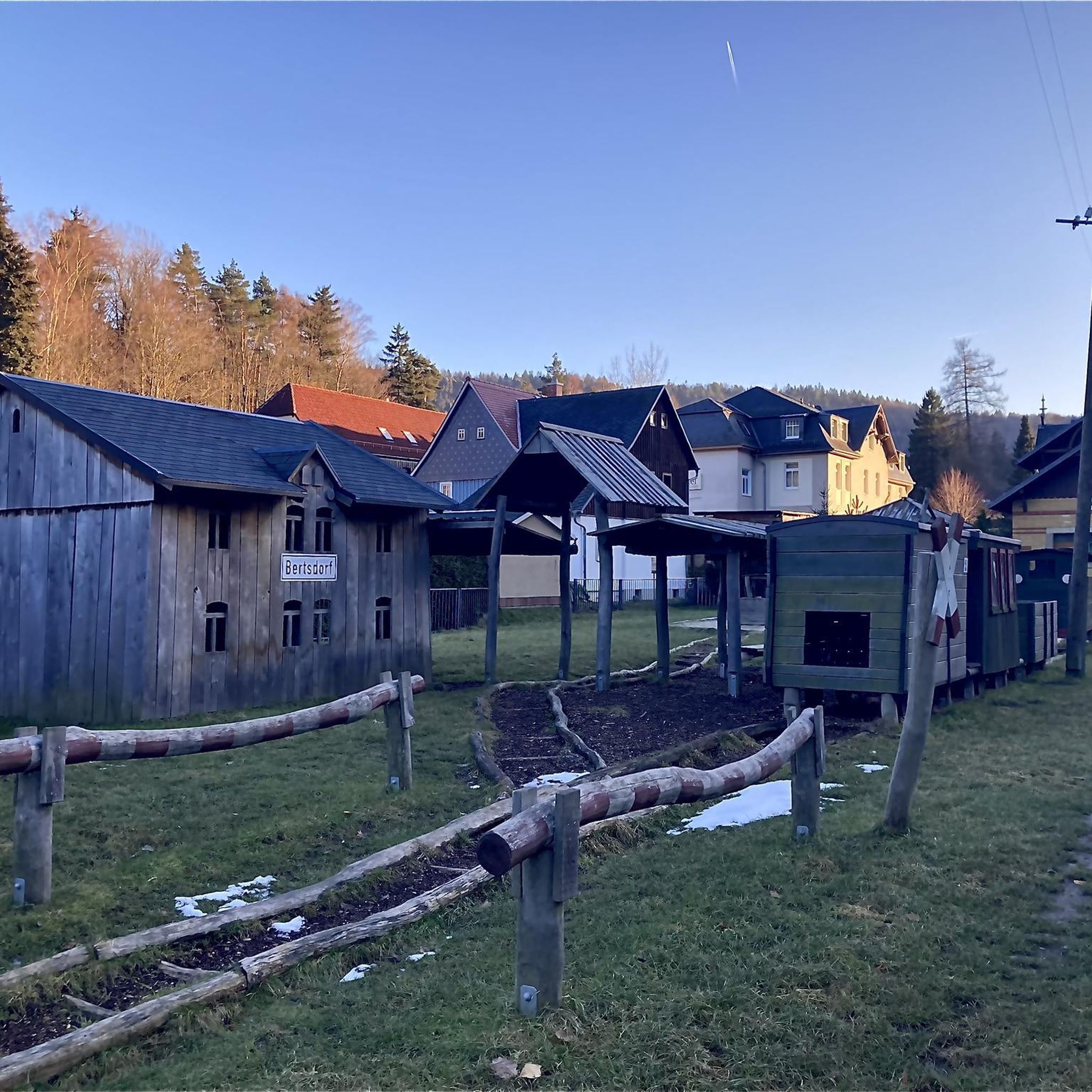
Easy hikes in Oberer Klosterwald

Easy hikes around Isarmündung

Easy hikes in Im Biendl
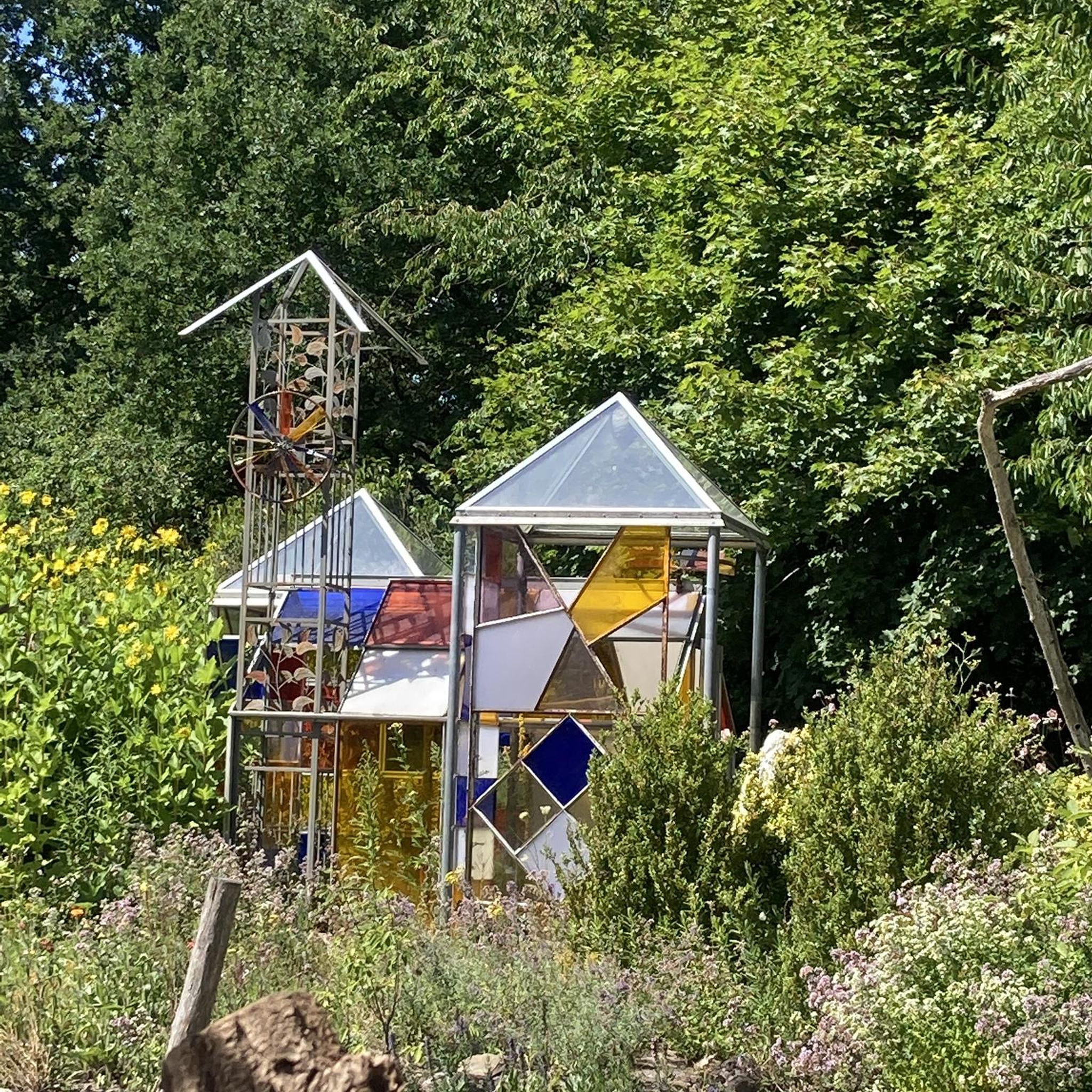
Easy hikes in Bruckbachholz

The Goldsteig – 38 stages between Upper Palatinate and Passau
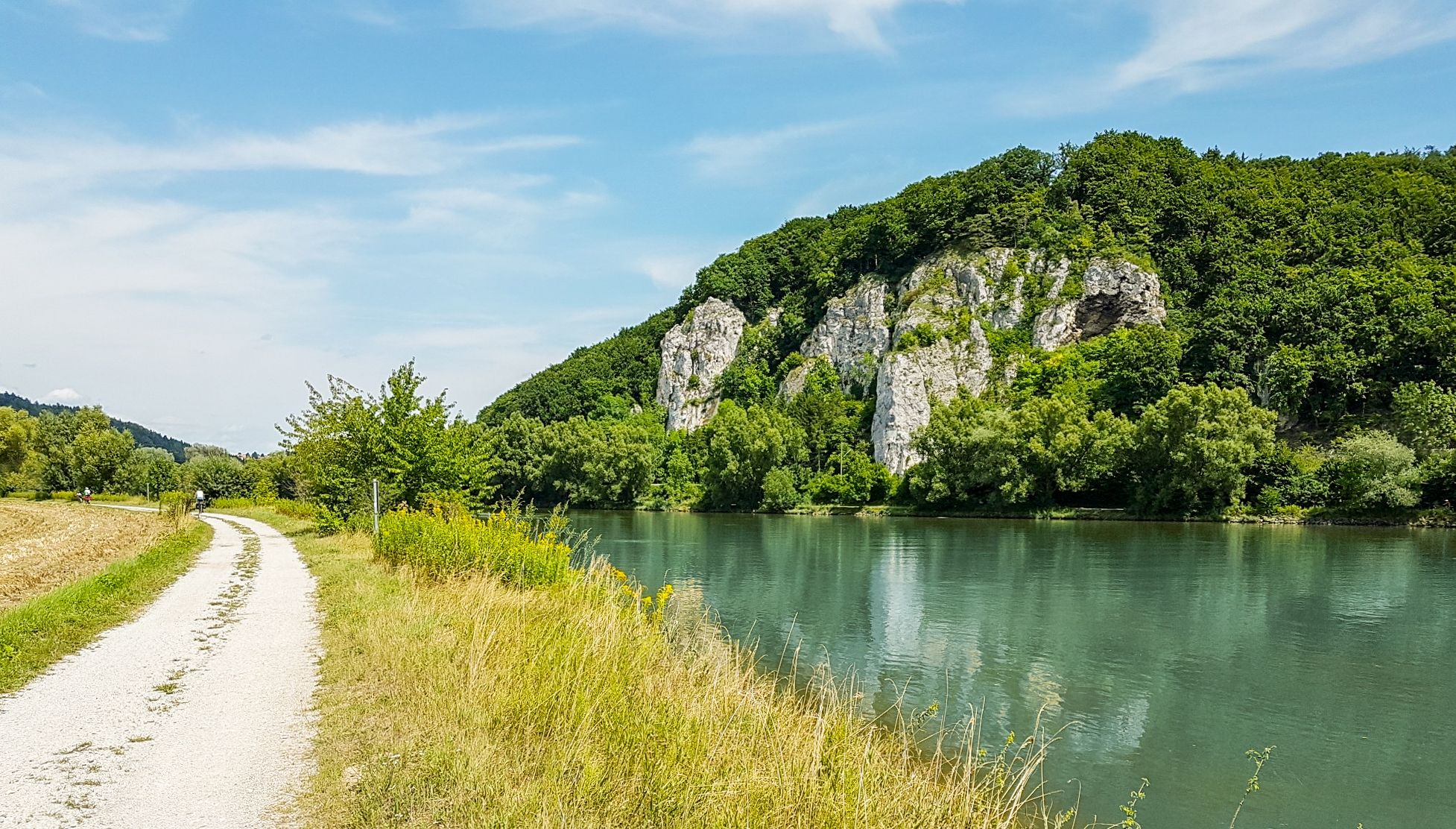
Donau-Panoramaweg – 10 days nature views and cultural insights

Goldsteig — The best routes for long distance hiking in Eastern Bavaria

Run Wilder – six trail runs in Germany with the HOKA Speedgoat 7

#GoFurther – discover the views of Germany!
Other adventures in Deggendorf


Tips from the Community

Directly on the river, good place to stay overnight with a campervan
0
0

At around 750 years old, the ancient linden tree in Euschertsreuth is one of the most majestic linden trees in Europe. An impressive natural spectacle that surprises every cyclist.
0
0

Not just the Danube bridge. Also the city center area with the church towers and the old town hall.
4
0
Old Bavaria was once a wine-growing region. Here, it is being revived.
4
0
A memorial established in 1929. Definitely worth a visit. More information: https://www.niederbayern-wiki.de/wiki/Gefallenenhain_(Deggendorf)
3
0
Behind the parish church of the Assumption of Mary rises the Geiersberg hill. A nature and history trail leads through the town forest up to the Geiersberg Church, which was once situated on the long-distance trade route to Bohemia. The church itself is a late Gothic building, completed in 1486. The church tower on the north side received its present appearance during the renovation of 1882. To the right of the church stands a fountain, first mentioned in 1608. It is the so-called Five Wounds Fountain. It has changed location several times; since 1926, it has been located on the south side of the church. Around the edge of a large basin are depictions of the grieving Mary with Christ on her lap and two angel figures. The spring water that fed the fountain was said to have flowed from the heart, hands, and feet of Christ and collected in the basin. The Geiersberg Church is a pilgrimage church. The faithful come here to pray to Mary and ask for her help. The miraculous image of Our Lady of Sorrows dates back to around 1400 and depicts the grieving Mary holding her dead son in her lap. The sculpture is surrounded by a round frame in the shape of a rose, which is why it is also called "Mary in the Rose." The miraculous image is incorporated into a neo-Gothic winged altarpiece created in 1882, which depicts scenes from the life of Jesus. Numerous votive paintings adorn the walls of the Geiersberg Church. These are images that people have donated as offerings of thanks for their deliverance from hardship, danger, or illness. These votive paintings are all similar in structure: In the upper half of the image, the heavenly power invoked for assistance appears, usually in the form of the miraculous image; in the lower half, the reason for the gratitude and the donor are depicted. An inscription panel may provide a more detailed explanation and date of the event. Source: https://mariae-himmelfahrt.de/portfolio/geiersberg/
3
0
The ideal starting point for tours at the Ruselabsatz. Ample parking available.
4
0

Frequently Asked Questions
How many easy hiking trails are there in Deggendorf?
Deggendorf offers an extensive network of easy hiking trails, with over 970 routes available. These trails cater to various preferences, from gentle riverside paths to forested hillsides, ensuring a suitable option for almost every hiker.
What do other hikers say about easy trails in Deggendorf?
The easy hiking trails in Deggendorf are highly regarded by the komoot community, boasting an average rating of 4.5 stars from over 6,800 reviews. Hikers frequently praise the diverse landscapes, well-maintained paths, and the stunning views from various viewpoints.
Are there easy circular walks in Deggendorf?
Yes, Deggendorf features many easy circular walks. For instance, the Little Büchelstein Viewpoint – Büchelstein Viewpoint loop from Kerschbaum is a popular 5.9 km option. Another favorite is the View from Geßingerstein – Königstein Viewpoint loop from Rusel, offering scenic outlooks on a 5.1 km path.
Are there easy trails suitable for families with children?
Absolutely. Many easy trails in Deggendorf are perfect for families. The region's diverse terrain includes gentle paths along the Danube and through the Bavarian Forest foothills, which are ideal for all ages. The Isar oxbow – Isarmündung Conservation Area loop from "Kiesweiher", for example, is a flat 7.3 km trail through a nature reserve, suitable for a relaxed family outing.
Can I bring my dog on easy hikes in Deggendorf?
Most easy hiking trails in Deggendorf are dog-friendly, allowing you to enjoy the beautiful scenery with your canine companion. It's always recommended to keep your dog on a leash, especially in nature reserves or areas with wildlife, and to check local regulations for specific trails.
Are there easy hikes with good views in Deggendorf?
Yes, Deggendorf is known for its panoramic viewpoints even on easy trails. The View from Geßingerstein – Königstein Viewpoint loop from Rusel offers impressive vistas. Other routes provide views of the Danube plain and the Bavarian Forest, such as those near Büchelstein or Hirschenstein.
What kind of natural attractions can I see on easy hikes?
Easy hikes in Deggendorf can lead you to several natural monuments and scenic spots. You might encounter impressive summits like the Rauher Kulm or the Großer Büchelstein summit cross, offering panoramic views. The region also features the serene Danube River and the Isar River confluence, known for its rich flora and fauna.
Are there easy trails along the Danube River?
Yes, the Danube River forms a significant natural boundary in Deggendorf, offering numerous easy hiking opportunities along its banks. These trails provide stunning river views and are generally flat, making them ideal for relaxed strolls. The Donausteig, a long-distance trail, also has accessible sections near Deggendorf.
How long do easy hikes in Deggendorf typically take?
Easy hikes in Deggendorf vary in length and duration. Many popular easy routes, like the Little Büchelstein Viewpoint – Büchelstein Viewpoint loop from Kerschbaum (5.9 km), can be completed in under two hours. Shorter options are also available, while some longer easy trails might take up to three hours.
What is the best time of year for easy hiking in Deggendorf?
The best time for easy hiking in Deggendorf is generally from spring to autumn (April to October), when the weather is mild and the landscapes are vibrant. Spring brings blooming nature, while autumn offers beautiful fall foliage. Summer is also excellent, though some trails might be busier.
Are there options for easy winter hiking in Deggendorf?
Yes, Deggendorf offers opportunities for easy winter hiking, especially on cleared or well-trodden paths. The snow-covered Bavarian Forest and Danube landscapes can be particularly picturesque. Always check local conditions and trail accessibility before heading out in winter.
Are there easy trails that explore the Bavarian Forest?
Deggendorf is known as the 'Gateway to the Bavarian Forest,' and many easy trails venture into its foothills and nature park. These routes offer a chance to experience the dense forests, rolling hills, and diverse ecosystems characteristic of the region, providing a refreshing escape into nature.
Most popular routes in Deggendorf
Most popular attractions in Deggendorf

Get inspired with the komoot mobile app


Didn’t find what you were looking for?
Check out more Hikes throughout Deggendorf below and find the perfect route in your destination.
Explore more
Browse the best Hikes in other regions.
