The best hikes from bus stations in Lanzarote
4.5
(15119)
89,704
hikers
616
hikes
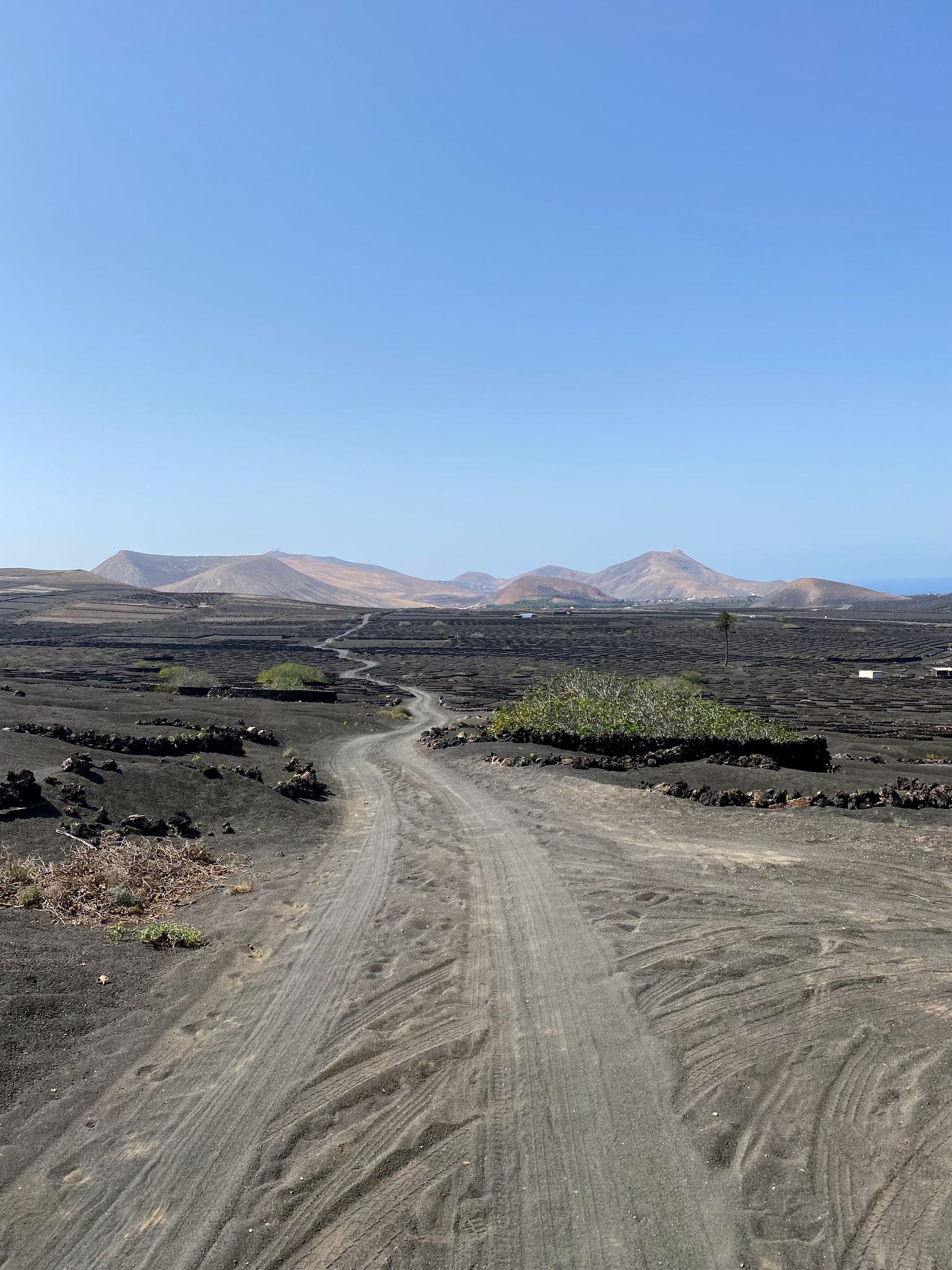
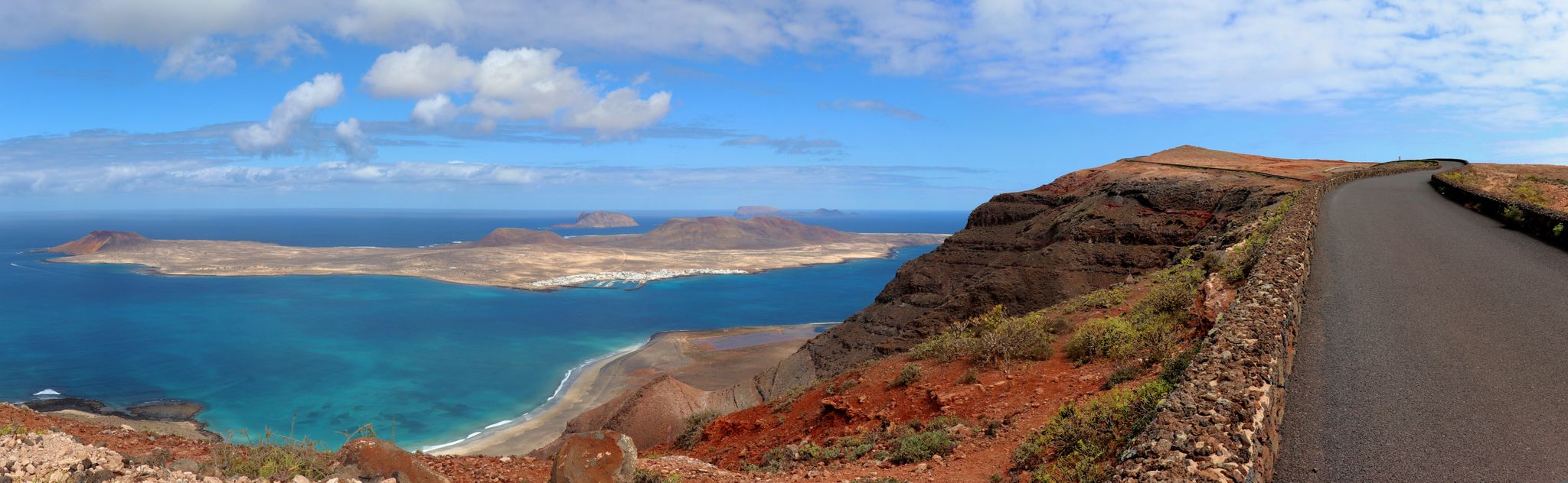
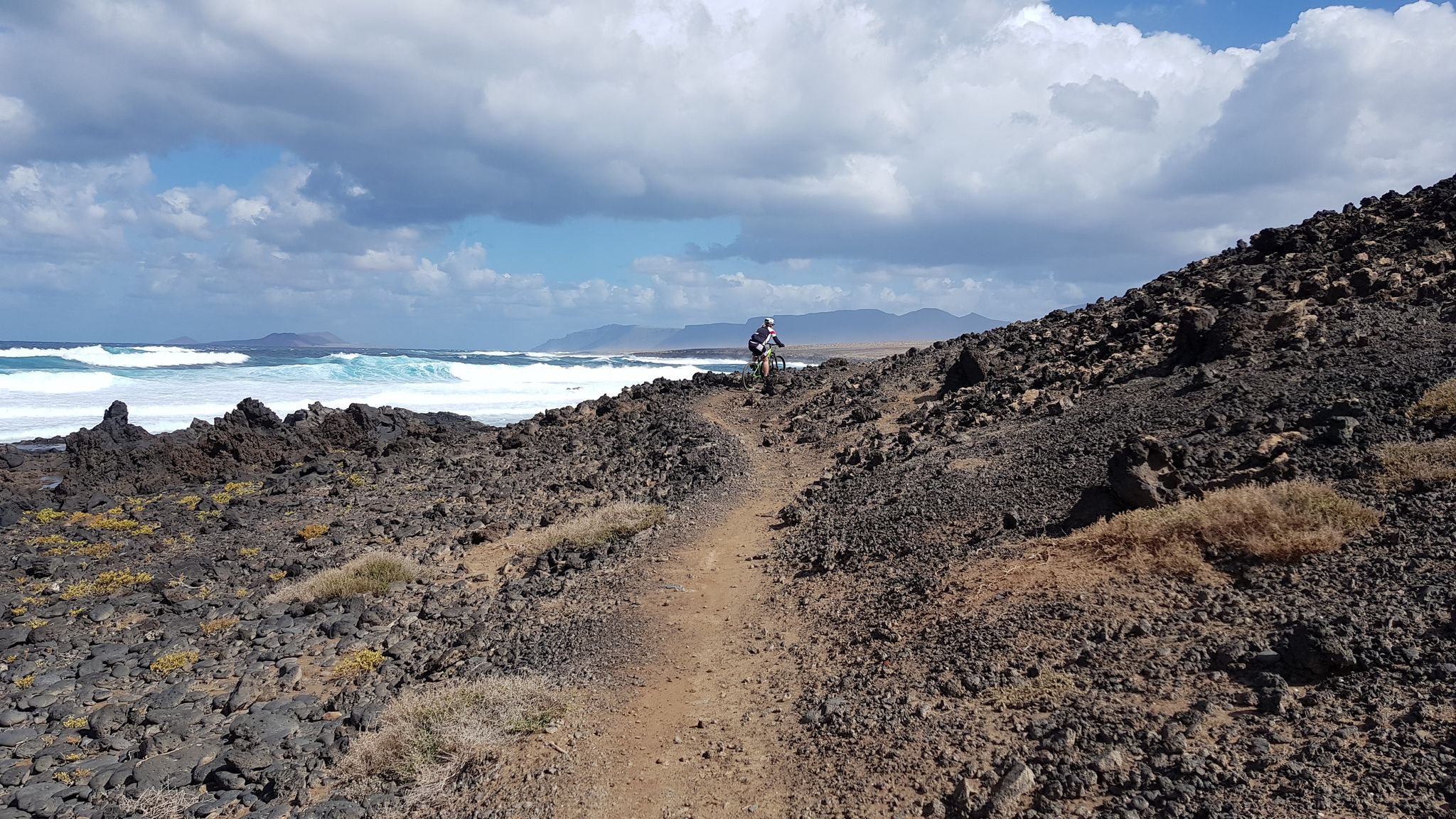
Hiking in Lanzarote offers diverse terrain shaped by volcanic activity, featuring extensive lava fields, volcanic cones, and craters. The island's arid climate has preserved these geological formations, creating a unique landscape for exploration. Coastal paths provide views of the Atlantic Ocean against black volcanic rock, while inland routes traverse ancient ravines and unique agricultural areas. The region includes protected natural parks and accessible volcanic structures.
Best bus station hiking trails in Lanzarote
- The most popular bus station hiking route is…
Last updated: June 26, 2026
4.6
(128)
626
hikers
Hard hike. Great for any fitness level. Sure-footedness, sturdy shoes and alpine experience required.
4.8
(176)
673
hikers
9.48km
02:55
320m
320m
Moderate hike. Good fitness required. Easily-accessible paths. Suitable for all skill levels.

Sign up for free
4.7
(144)
1,020
hikers
Moderate hike. Good fitness required. Easily-accessible paths. Suitable for all skill levels.
4.6
(113)
438
hikers
12.5km
03:24
170m
170m
Hard hike. Good fitness required. Sure-footedness, sturdy shoes and alpine experience required.
4.5
(223)
1,517
hikers
8.54km
02:11
40m
40m
Moderate hike. Good fitness required. Easily-accessible paths. Suitable for all skill levels.
Get access to more routes and recommendations from other explorers.
Sign up for free
Already have an account?
Our route recommendations are based on thousands of hikes, rides, and runs completed by other people on komoot.
Start today with a free account
Your next adventure awaits.
Login or Signup
Popular around Lanzarote
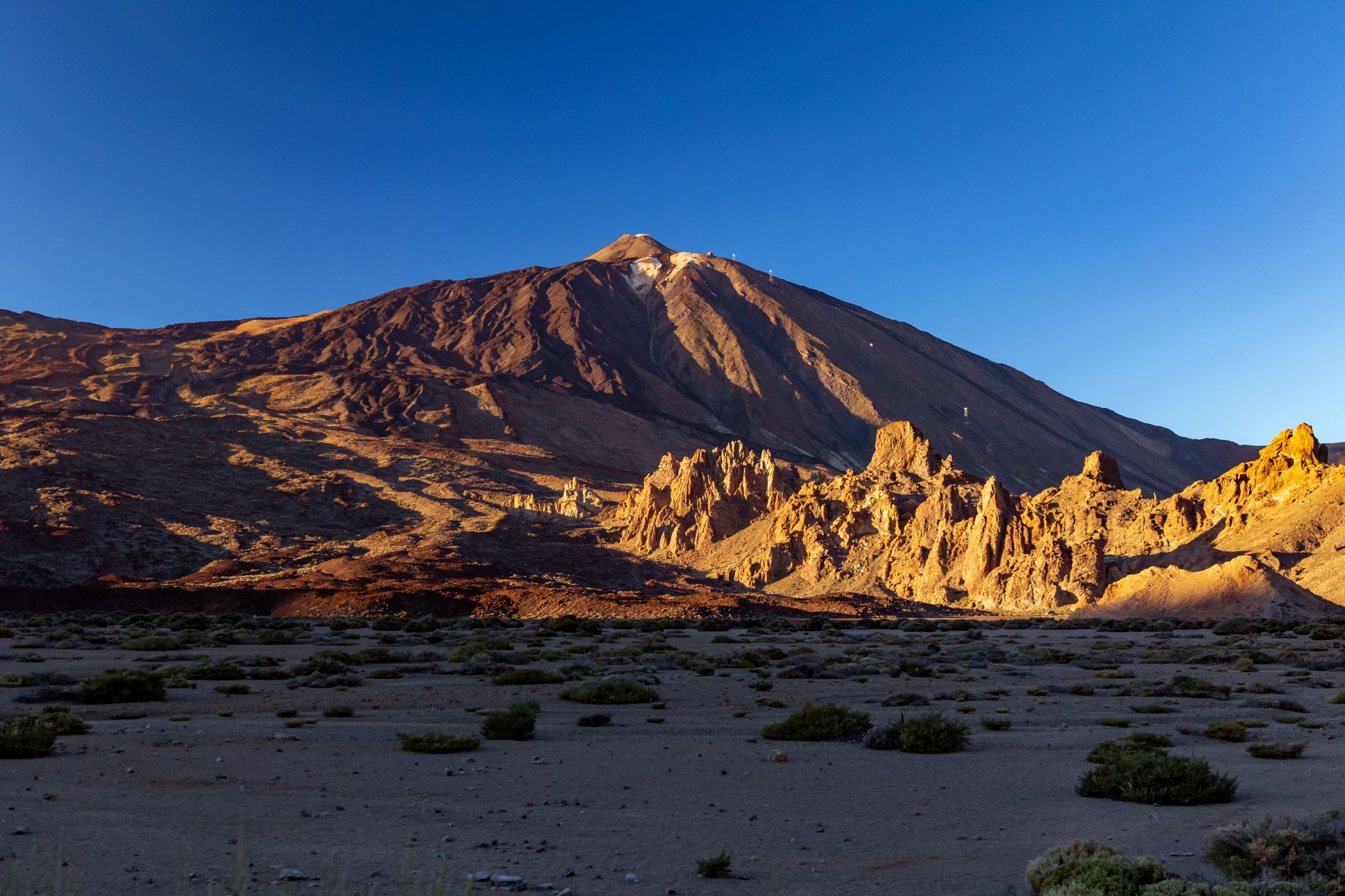
Six fascinating ways to discover the Canary Islands on foot
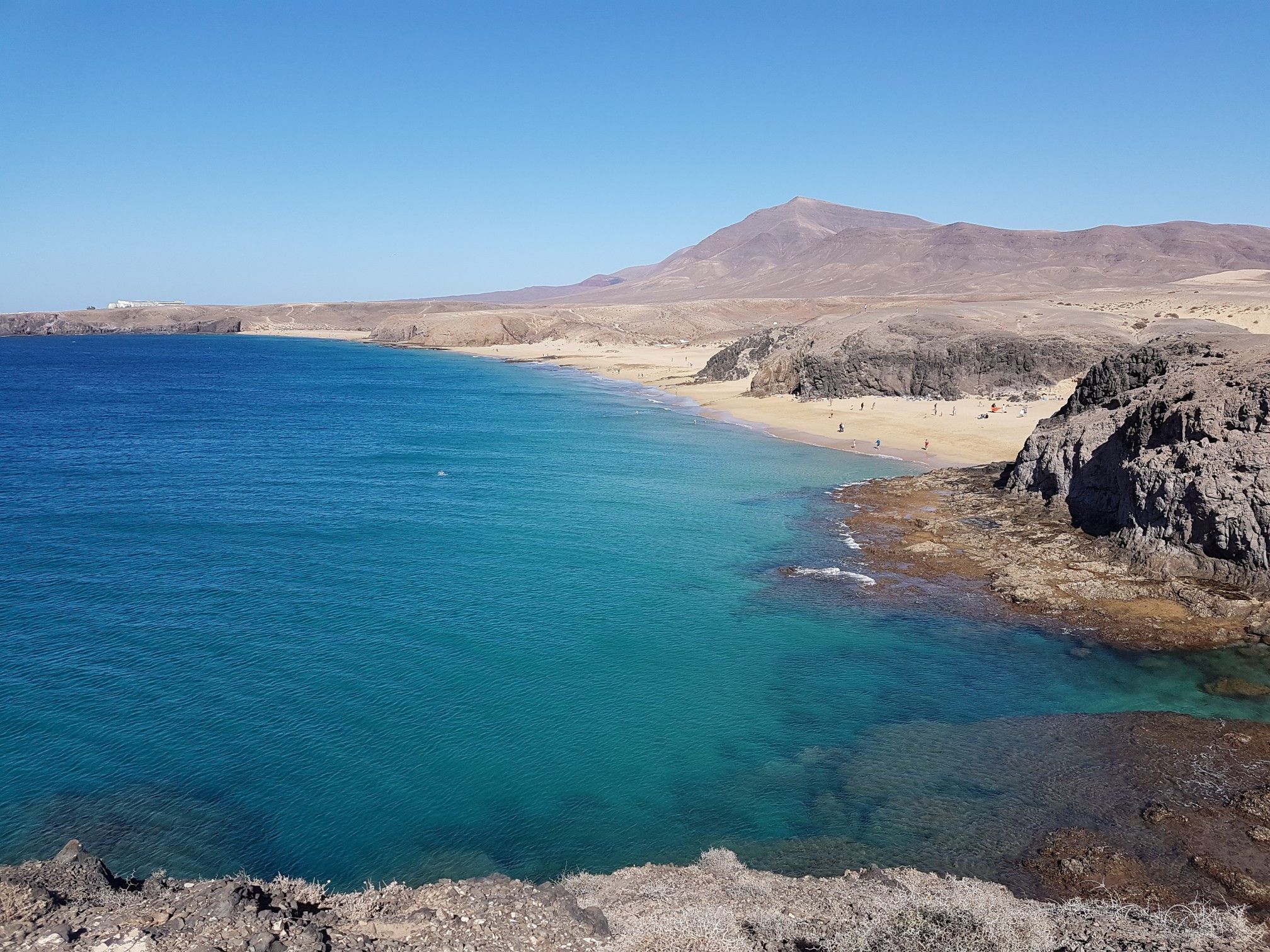
Volcanic and coastal hikes in Lanzarote
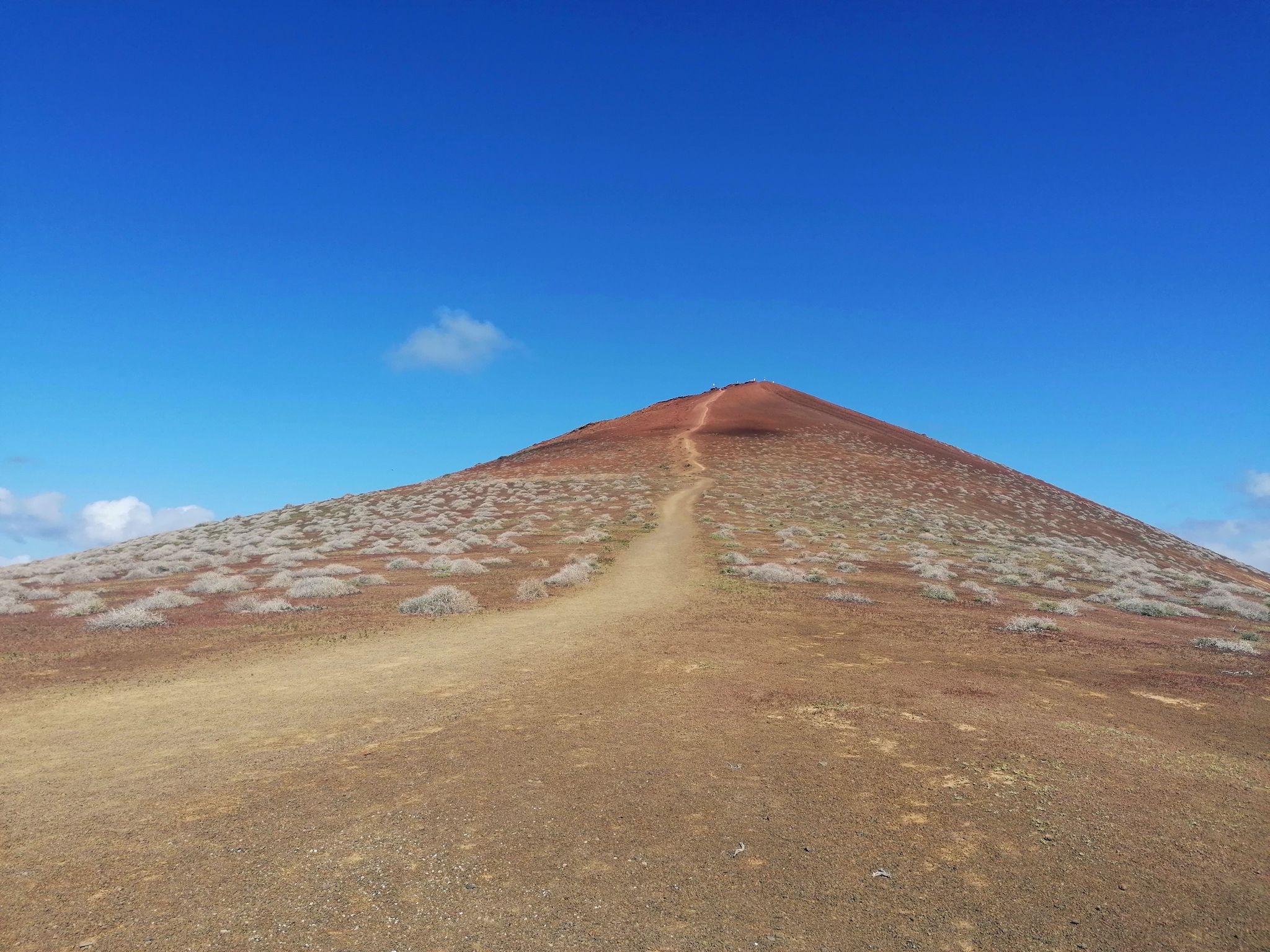
Adventures on the eighth island – hiking in La Graciosa
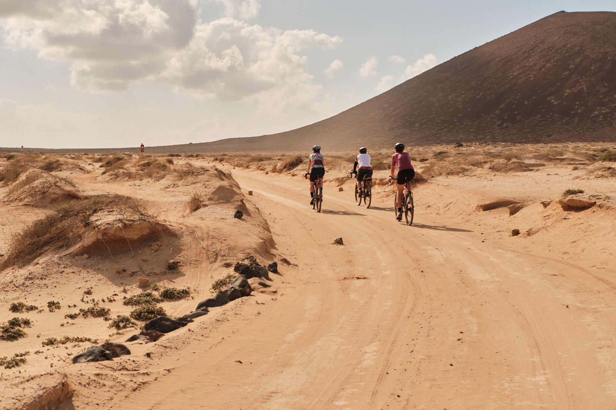
GranGuanche gravel – Komoot women's rally 2023

GranGuanche Audax Trail – my first ultra race on the Canary Islands
Bikepack in the Canary Islands – surprising adventures in the sun
Lanzarote by road bike – three dream routes
MTB on the island of volcanoes – Pedales de Lava
Las Cumbres Reinas de España — Spanish mountain trail races
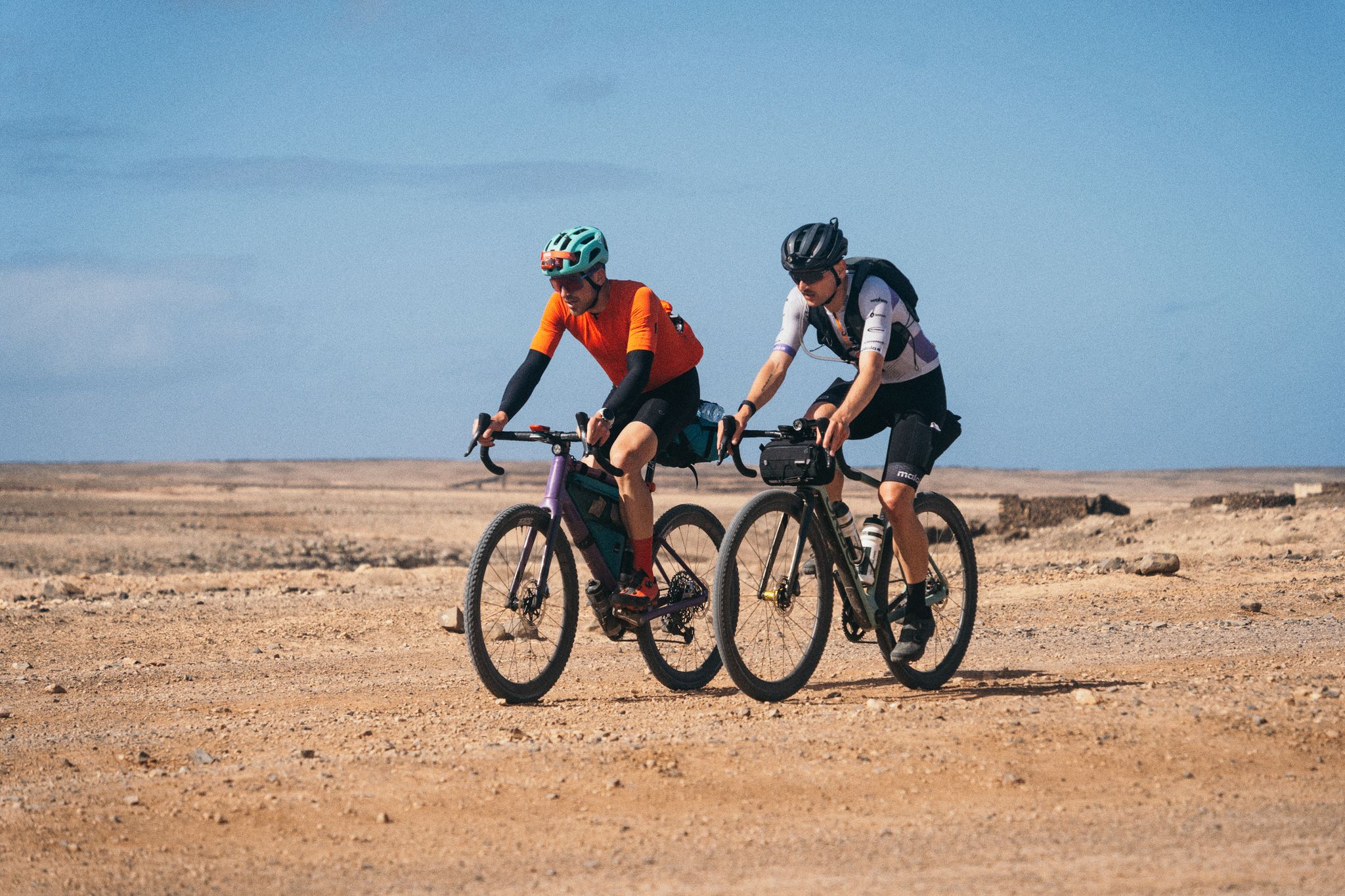
GranGuanche Audax Gravel — five islands in two and a half days
Other adventures in Lanzarote


Tips from the Community

beautiful steep coast and many restaurants on the promenade
0
0


The Museo de la Historia de Arrecife is the history museum of Lanzarote's capital city. It is located directly in the Castillo de San Gabriel, a small 16th-century fortress situated on a tiny islet in the middle of Arrecife Bay. It can be reached via two charming stone bridges (the Puente de las Bolas being the most famous).
2
0

San Gabriel Castle, one of Lanzarote's oldest fortresses, rises from the tranquil waters of Arrecife Bay on a small island known locally as "Islote del Castillo" (Castle Island). However, for the island's older inhabitants, this island was always known as Islote del Quemado (the Burnt Island) due to the devastating fire it suffered during the attack of the feared Ottoman corsair Morato Arráez in 1586. Over the centuries, English, French, and Dutch pirates also approached San Gabriel's cannons before the much-celebrated failure of British Vice-Admiral Horatio Nelson off the nearby coast of Tenerife at the end of the 18th century marked the beginning of the decline of piracy there. Today the castle is a must-see, not only because of the history museum housed there since 1972, but also because of the magnificent view from its roof terrace overlooking both the white island capital and the endless Atlantic Ocean.
3
0
The marina of Puerto del Carmen is located in the old town in the south of Lanzarote.
1
0

Very good condition in 2025 and equally beautiful views.
0
0
It's also a beautiful beach, with rocks in between.
0
0
Also a beautiful beach, though there are rocks in between.
0
0
Frequently Asked Questions
How many hiking trails are accessible from bus stations in Lanzarote?
Lanzarote offers a vast network of hiking trails, with over 500 routes that can be conveniently accessed via public transport. This includes a diverse range of options, from easy coastal walks to more challenging volcanic ascents, ensuring there's something for every hiker.
What kind of landscapes can I expect on bus-accessible hikes in Lanzarote?
You'll encounter Lanzarote's unique and dramatic volcanic landscapes. Many routes traverse ancient lava fields, volcanic cones, and craters, offering an otherworldly experience. Coastal paths also provide stunning views where the deep blue Atlantic meets black volcanic rock. The island's arid climate has preserved these geological formations, creating an 'open-air museum of volcanology'.
Are there any easy, family-friendly hikes accessible by bus?
Yes, there are many easy and family-friendly options. While specific routes vary, you can find gentle strolls through volcanic ash or along the coast. For example, the area around Arrecife offers accessible paths like the Bridge of the Balls – Reducto Beach loop from Arrecife, which is moderate but relatively flat and offers pleasant coastal views.
Which bus stations are good starting points for hiking?
Several bus stations serve as excellent starting points. Key locations include Playa Blanca, Puerto Calero, Haría, and Arrecife. Each offers access to different types of terrain and attractions. For instance, Playa Blanca provides access to coastal and volcanic routes, while Haría leads to trails with more traditional village views.
Can I find circular hiking routes that start and end at a bus stop?
Absolutely. Many of Lanzarote's bus-accessible trails are designed as circular routes, allowing you to start and finish at the same point, often conveniently located near a bus stop. An example is the View of Haría – Haría Village loop from Haría, which offers a scenic circular walk through the village and surrounding landscapes.
What are some notable natural attractions I can see on these hikes?
Lanzarote is rich in natural wonders. You can hike to impressive volcanic peaks like Caldera Blanca, one of the largest craters in the Canary Islands, or explore the distinct red hues of Red Mountain. The island's unique geology, including lava fields and volcanic cones, is a constant feature on many trails.
What is the best time of year to go hiking in Lanzarote?
The best time for hiking in Lanzarote is during the cooler, more temperate months from October to April. Temperatures typically range from 17°C to 24°C (63°F to 75°F), providing comfortable conditions for outdoor activities. It's advisable to avoid the peak summer months when temperatures can be very high.
Are there any dog-friendly hiking trails accessible by bus?
While many areas in Lanzarote are welcoming to dogs, specific regulations can apply, especially within protected natural parks. It's always best to check local signage and guidelines for each trail. Generally, less restricted coastal paths or trails outside national park boundaries might be more suitable for hiking with your dog, provided they are on a leash.
What should I wear and bring for hiking in Lanzarote?
Given the volcanic terrain, sturdy hiking shoes are essential. The climate can be warm, so lightweight, breathable clothing is recommended. Always bring plenty of water, sun protection (hat, sunglasses, high-SPF sunscreen), and snacks. A light jacket might be useful for cooler mornings or evenings, especially at higher elevations.
What do other hikers enjoy most about bus-accessible trails in Lanzarote?
The komoot community highly rates hiking in Lanzarote, with an average score of 4.5 out of 5 stars. Reviewers frequently praise the unique volcanic scenery, the well-preserved natural environment, and the accessibility of diverse trails via public transport. The dramatic contrast between the dark volcanic rock and the blue ocean is often highlighted as a memorable aspect.
Are there any coastal walks accessible from bus stations?
Yes, Lanzarote offers spectacular coastal paths easily reached by bus. For example, the Quiquere Ravine – Paseo Barrilla Coastal Walk loop from Puerto Calero provides beautiful sea views and a refreshing breeze. These routes often showcase the dramatic meeting of lava flows with the Atlantic Ocean.
Can I reach trails that offer views of Papagayo Beach by bus?
Yes, from bus stations in the south, particularly Playa Blanca, you can access trails leading towards the stunning Papagayo Beaches. A popular option is the La Cera Beach – View of Papagayo Beach loop from Plan Parcial Playa Blanca, which offers panoramic views of these pristine coves.
Most popular routes in Lanzarote
Most popular attractions in Lanzarote

Get inspired with the komoot mobile app


Explore more
Browse the best Hikes in other regions.
