The best hikes from bus stations in Upper Lusatia
4.6
(42674)
158,983
hikers
5,921
hikes
Bus station hiking trails in Upper Lusatia traverse a diverse landscape, characterized by low mountain ranges, extensive heath and pond areas, and varied rock formations. The region features the Zittau Mountains with their sandstone formations and volcanic peaks, alongside the UNESCO biosphere reserve of the Upper Lusatian Heath and Pond Landscape. Hikers can expect a mix of forest paths, open water landscapes, and trails leading to historical sites and viewpoints. The terrain ranges from gentle slopes around ponds to more…
Last updated: September 30, 2026
4.8
(331)
1,201
hikers
3.36km
00:59
80m
80m
Moderate hike. Great for any fitness level. Mostly accessible paths. Sure-footedness required.
4.8
(379)
1,301
hikers
6.13km
02:02
300m
300m
Moderate hike. Good fitness required. Easily-accessible paths. Suitable for all skill levels.

4.7
(300)
1,203
hikers
6.78km
01:45
40m
40m
Easy hike. Great for any fitness level. Easily-accessible paths. Suitable for all skill levels.
4.7
(155)
375
hikers
Moderate hike. Good fitness required. Easily-accessible paths. Suitable for all skill levels.
4.3
(255)
734
hikers
Moderate hike. Good fitness required. Easily-accessible paths. Suitable for all skill levels.
Get access to more routes and recommendations from other explorers.
Already have an account?
Our route recommendations are based on thousands of hikes, rides, and runs completed by other people on komoot.
Start today with a free account
Your next adventure awaits.
Popular around Upper Lusatia

Hikes from bus stations around Bautzen

Hikes from bus stations in Görlitz

Hikes from bus stations around Lubań

Hikes from bus stations around Zgorzelec
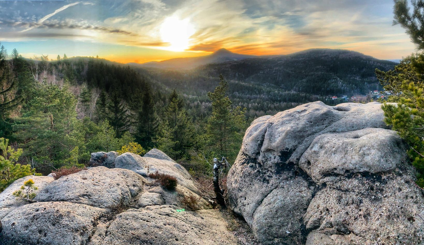
Mountains, heaths & lakes – hiking in Lusatia
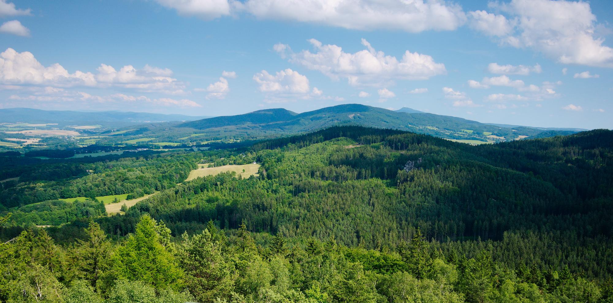
The National Natural Landscapes in Saxony

#GoFurther – discover the views of Germany!
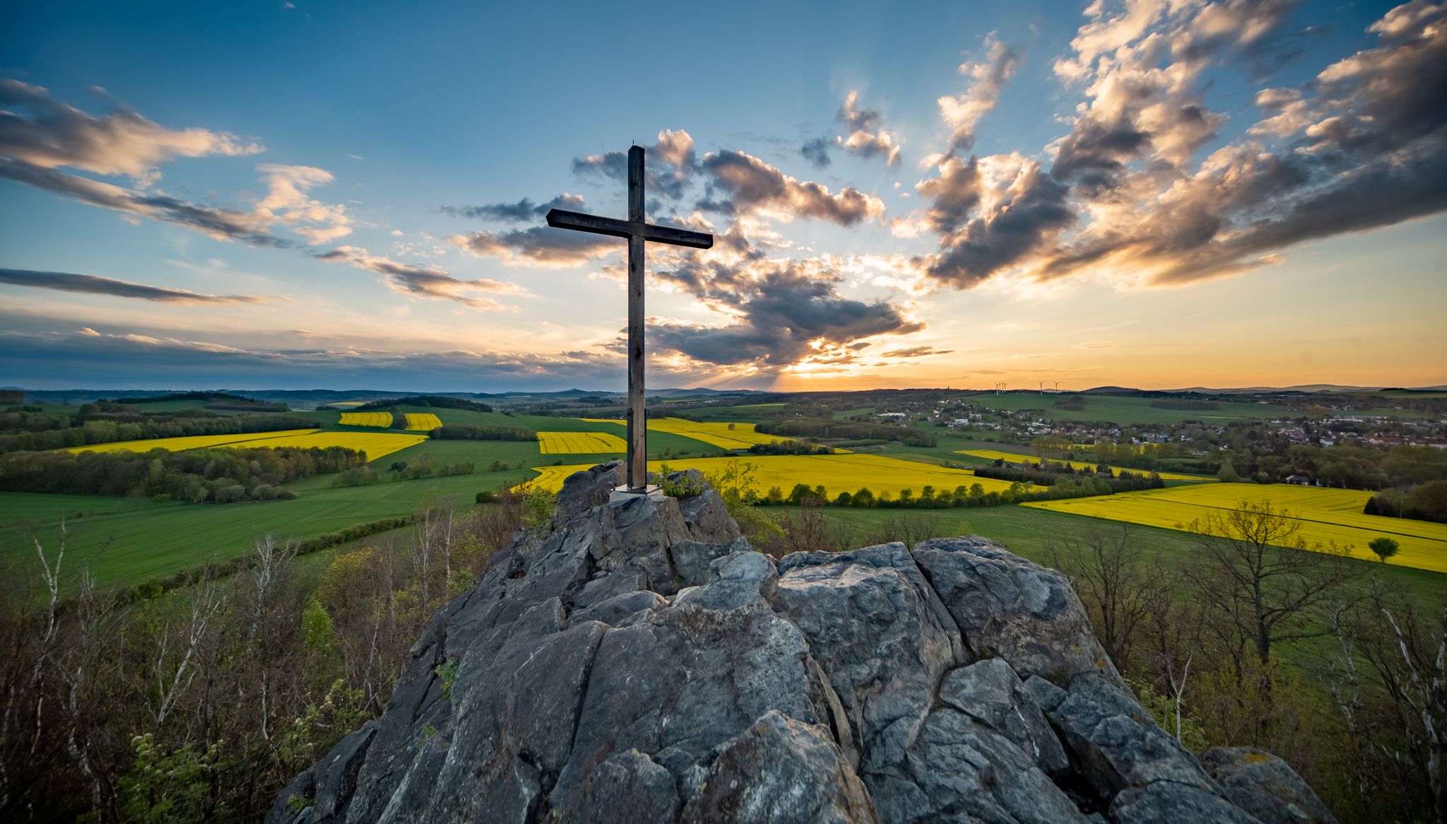
Legendary views on the Upper Lusatia Mountain Trail
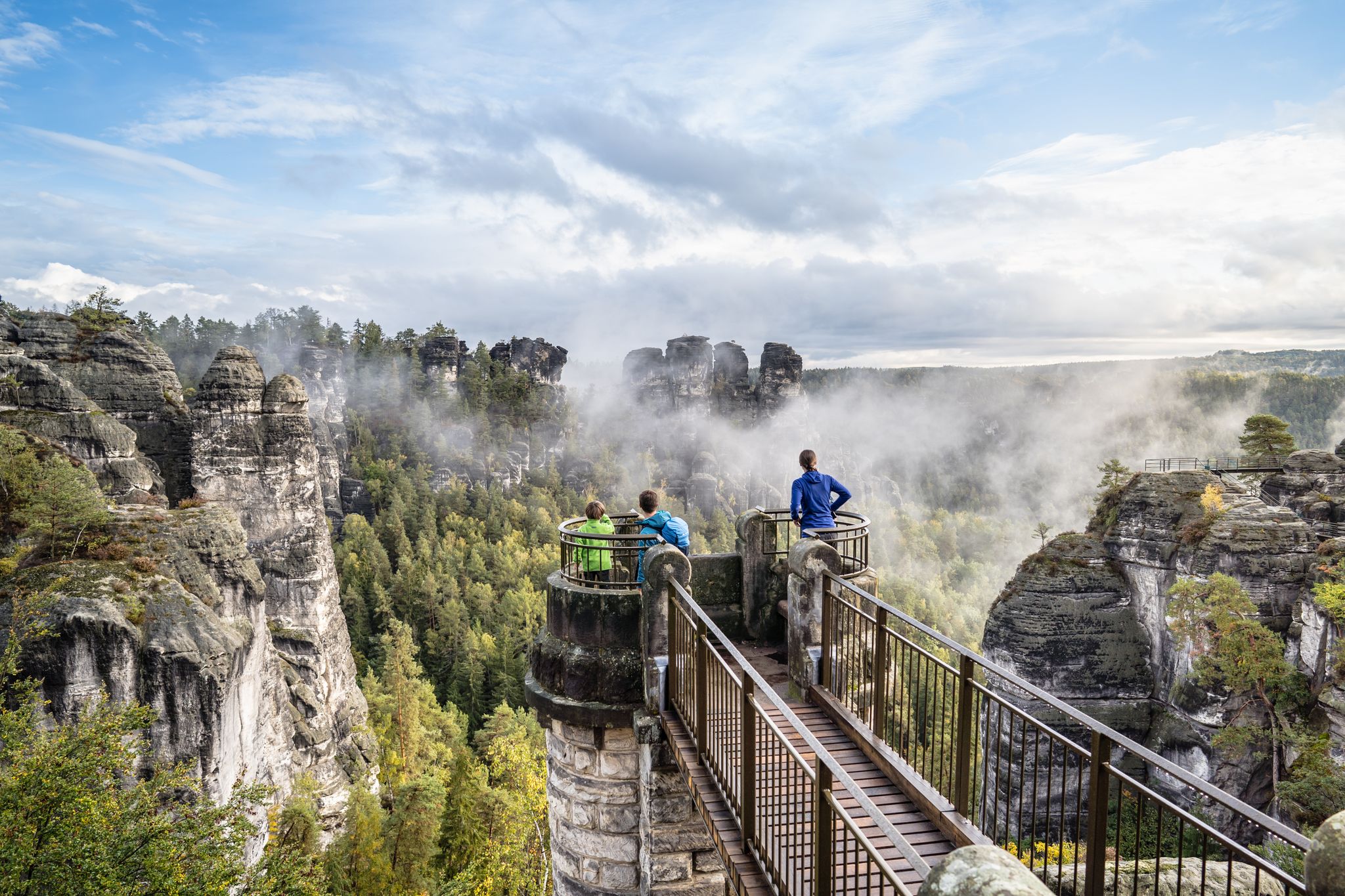
Natural wonders of Saxony – hiking with the wow factor
Along Germany’s River Spree from mouth to source
Other adventures in Upper Lusatia


Tips from the Community

The pavilion invites you to rest. A cozy place to relax and have a picnic.
0
0

Two paths lead up to the Oybin castle and monastery ruins; we take the one through the Knights' Gorge. The path is narrow between the high cliffs, surrounded by the vibrant colors of autumn foliage. After a short distance, we see the ruins before us. They sit majestically atop the rock. We take in the view one last time, breathe deeply, and are eager to see what awaits us. Now we pass through the gate, enter the grounds, pay our entrance fee at the servants' quarters, and begin our exploration. https://youtu.be/qvBJv_Fnfis
0
0
We return to the cemetery and take the circular hiking trail, which leads us further across the plateau. We walk along the high cliffs, the slope steep beside us, past the inn, sometimes very narrow between the rocks. Some people even get stuck here. The landscape is fascinating and exciting; we walk right along the edge of the slope and enjoy this autumn day. https://youtu.be/qvBJv_Fnfis
0
0
As we now ascend the final stretch to the summit of the Lausche mountain, we'll climb 120 meters in altitude over the next 500 meters. This mountain is the highest in the Lusatian Mountains. The fog is increasingly thickening into a cloud, and our view downwards is becoming increasingly obscured. Looking upwards, we can only vaguely make out the outline of the observation tower. We reach the very top at an altitude of 793 meters. With visibility now limited to just a few meters, we enter the observation tower. We experience the view, completely enveloped by a cloud. This moment is fascinating and exciting; it will remain in our memories. Through a small gap above us, we catch a glimpse of blue sky. Having come from the Czech side, we will descend the mountain again on the German side. Ruins remain as reminders of the mountain hut that once stood here, which burned down in 1946. The path leads back down to Waltersdorf. https://youtube.com/shorts/j3oD8QzMxeA?feature=share https://youtu.be/Ip7zpvYwFBw
0
0
We reach Waltersdorf, where memorial stones and information panels commemorate the expulsion and war; military clashes took place here in September 1938. From here, the path continues uphill, now at an altitude of over 580 meters, and we are enveloped in fog once more. https://youtu.be/Ip7zpvYwFBw https://youtu.be/v1A-Dy4595U
0
0

Flooded open-cast lignite mine. Today a recreational area at the foot of the Zittau Mountains.
0
0

very well maintained
0
0

The Mandau is a 40.9 km long river in the Czech Republic and Saxony.
11
0
Frequently Asked Questions
How many bus-accessible hiking trails are there in Upper Lusatia?
Upper Lusatia offers a vast network of over 6,000 hiking routes that are accessible by bus. This includes a wide range of options from easy strolls to more challenging mountain paths, ensuring there's a trail for every preference.
What kind of terrain can I expect on bus-accessible hikes in Upper Lusatia?
The region boasts incredibly diverse terrain. You can find trails leading through the unique sandstone formations and volcanic peaks of the Zittau Mountains, such as the Oybin Mountain Church – Mountain Cemetery loop from Oybin. Other areas feature the flat, biodiverse landscapes of the UNESCO biosphere reserve, the Upper Lusatian Heath and Pond Landscape, perfect for gentle walks around lakes and ponds.
Are there circular bus station hikes available in Upper Lusatia?
Yes, many of the bus-accessible routes in Upper Lusatia are circular, allowing you to start and end your hike at the same bus stop without needing to arrange a return journey. An example is the View over the Bautzen Reservoir – Bautzen Reservoir loop from Burk - Bórk, which offers scenic views and returns you to your starting point.
What natural landmarks can I explore on bus-accessible hikes in Upper Lusatia?
Hiking from bus stations can lead you to remarkable natural landmarks. In the Zittau Mountains, you can discover unique rock formations like the Kelchstein and Scharfenstein, or the fairytale-like 'Brütende Henne' and 'Teekanne'. The Oybin Rock and Castle Ruins are also a prominent feature, offering both historical and geological interest.
Are there any family-friendly bus-accessible hikes in Upper Lusatia?
Absolutely. The region offers numerous easy and moderate trails suitable for families. The Upper Lusatian Heath and Pond Landscape, for instance, provides gentle paths around its many ponds. A great option is the Röhrichtsteg Boardwalk – Interactive Fisherman's Hut loop from Guttau - Hućina, which is relatively flat and engaging for all ages.
Can I find bus-accessible hikes that include stops at cafes or restaurants?
Many bus-accessible routes pass through or near charming towns and villages where you can find cafes and traditional inns. Especially in the Zittau Mountains, trails often lead to mountain inns. It's always a good idea to check the route details on komoot for specific points of interest and amenities along your chosen path.
What makes Upper Lusatia a unique hiking destination accessible by bus?
Upper Lusatia stands out due to its combination of the Zittau Mountains, Germany's smallest low mountain range, and the expansive UNESCO biosphere reserve of the Heath and Pond Landscape. This offers a rare blend of volcanic and sandstone formations, diverse ecosystems, and rich biodiversity, all conveniently reachable via public transport.
What do other hikers say about bus-accessible trails in Upper Lusatia?
The komoot community highly rates hiking in Upper Lusatia, with an average score of 4.6 stars from over 37,000 ratings. Hikers frequently praise the region's diverse landscapes, from the dramatic rock formations of the Zittau Mountains to the tranquil pond landscapes, and the convenience of accessing these trails via public transport.
Are there any bus-accessible hikes that offer views of lakes or reservoirs?
Yes, Upper Lusatia features several beautiful lakes and reservoirs that are perfect for scenic hikes. The Bautzen Dam, often called the 'Sea of Bautzen,' is a popular spot for walks with water views. You can explore routes like the View over the Bautzen Reservoir – Bautzen Reservoir loop from Burk - Bórk for picturesque lakeside experiences.
Which bus-accessible routes are good for exploring the Heath and Pond Landscape?
To experience the unique biodiversity of the Upper Lusatian Heath and Pond Landscape, consider routes starting from Wartha, near the 'House of a Thousand Ponds.' The Röhrichtsteg Boardwalk – Interactive Fisherman's Hut loop from Guttau - Hućina is an excellent choice, offering insights into this exceptional ecosystem.
Are there any bus-accessible hikes that lead to historical sites?
Yes, several bus-accessible trails in Upper Lusatia combine natural beauty with historical exploration. The Oybin Rock and Castle Ruins, a prominent landmark in the Zittau Mountains, is reachable via routes that start from the Oybin bus station, allowing you to explore the medieval castle complex and monastery ruins.
Most popular routes in Upper Lusatia
Most popular attractions in Upper Lusatia

Get inspired with the komoot mobile app


Didn’t find what you were looking for?
Check out more Hikes throughout Upper Lusatia below and find the perfect route in your destination.
Explore more
Browse the best Hikes in other regions.
