The best hikes from bus stations in the Verwaltungsregion Oberland
4.6
(24301)
187,426
hikers
1,796
hikes
Hiking in the Verwaltungsregion Oberland offers diverse terrain characterized by dramatic alpine landscapes, mighty mountains, and expansive glaciers. The region features iconic peaks, deep ravines, and crystal-clear lakes such as Lake Thun and Lake Brienz. Hikers can explore lush forests, alpine meadows, and valleys with numerous waterfalls, providing a varied environment for bus station hiking trails.
Best bus station hiking trails in the Verwaltungsregion Oberland
- The most popular bus station hiking route is To the ibexes on the Augstmatthorn -…
Last updated: July 8, 2026
4.8
(97)
602
hikers
16.1km
06:36
1,050m
1,050m
Hard hike. Very good fitness required. Sure-footedness, sturdy shoes and alpine experience required.
4.8
(77)
706
hikers
11.9km
05:32
960m
960m
Hike the difficult 7.4-mile Sigriswil Rothorn Panorama Trail (Route 326) for alpine views and a challenging ascent.

Sign up for free
4.7
(83)
431
hikers
7.49km
02:15
240m
240m
Moderate hike. Good fitness required. Mostly accessible paths. Sure-footedness required.
4.8
(84)
589
hikers
5.57km
01:56
300m
300m
Easy hike. Great for any fitness level. Easily-accessible paths. Suitable for all skill levels.
4.9
(33)
259
hikers
17.6km
08:11
1,250m
1,250m
Hard hike. Very good fitness required. Sure-footedness, sturdy shoes and alpine experience required.
Get access to more routes and recommendations from other explorers.
Sign up for free
Already have an account?
Our route recommendations are based on thousands of hikes, rides, and runs completed by other people on komoot.
Start today with a free account
Your next adventure awaits.
Login or Signup
Popular around Verwaltungsregion Oberland
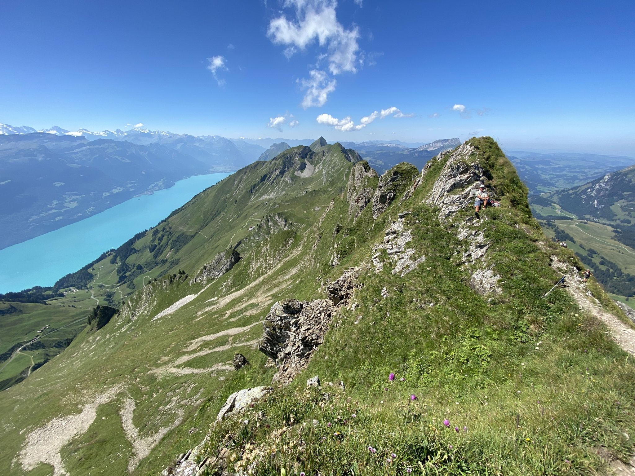
Hikes from bus stations around Verwaltungskreis Thun
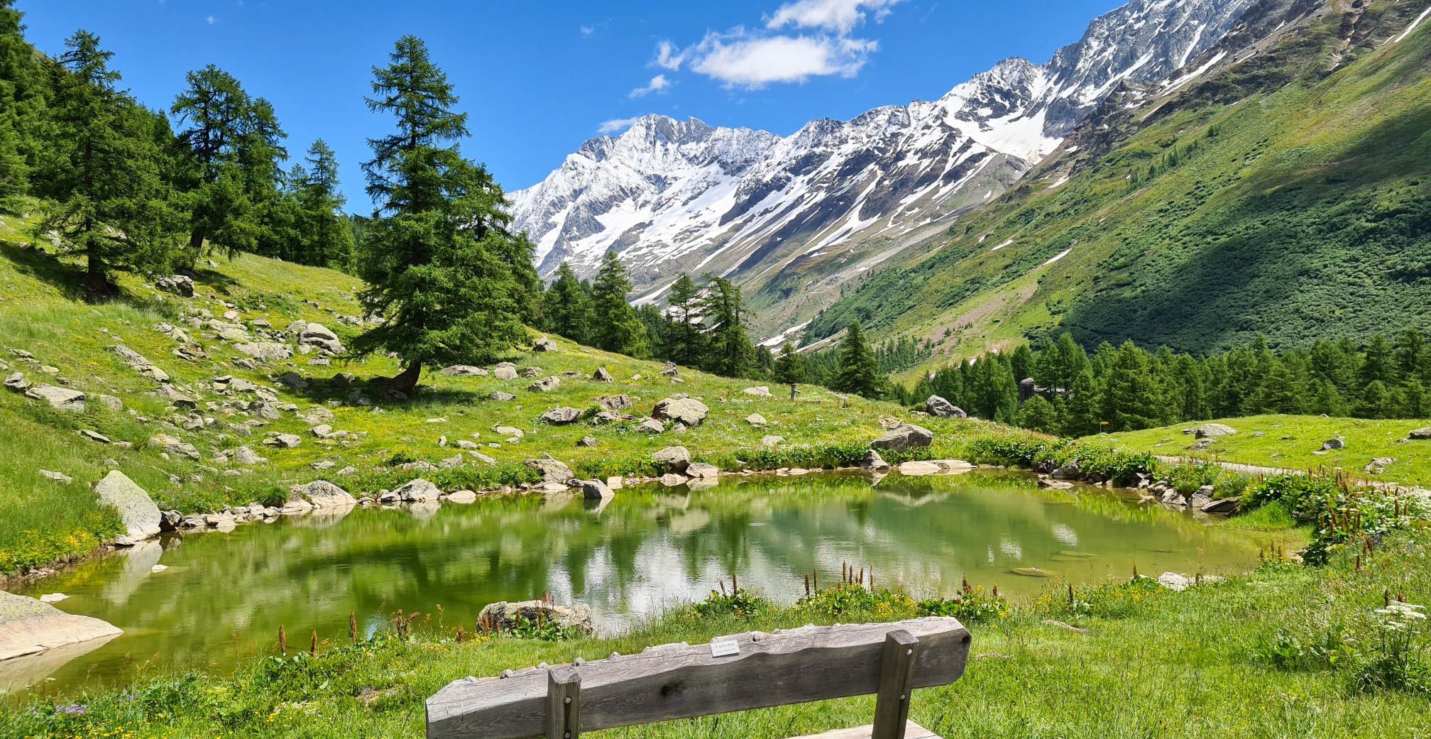
Lötschberg Panorama Trail – 4 days of alpine views in Switzerland
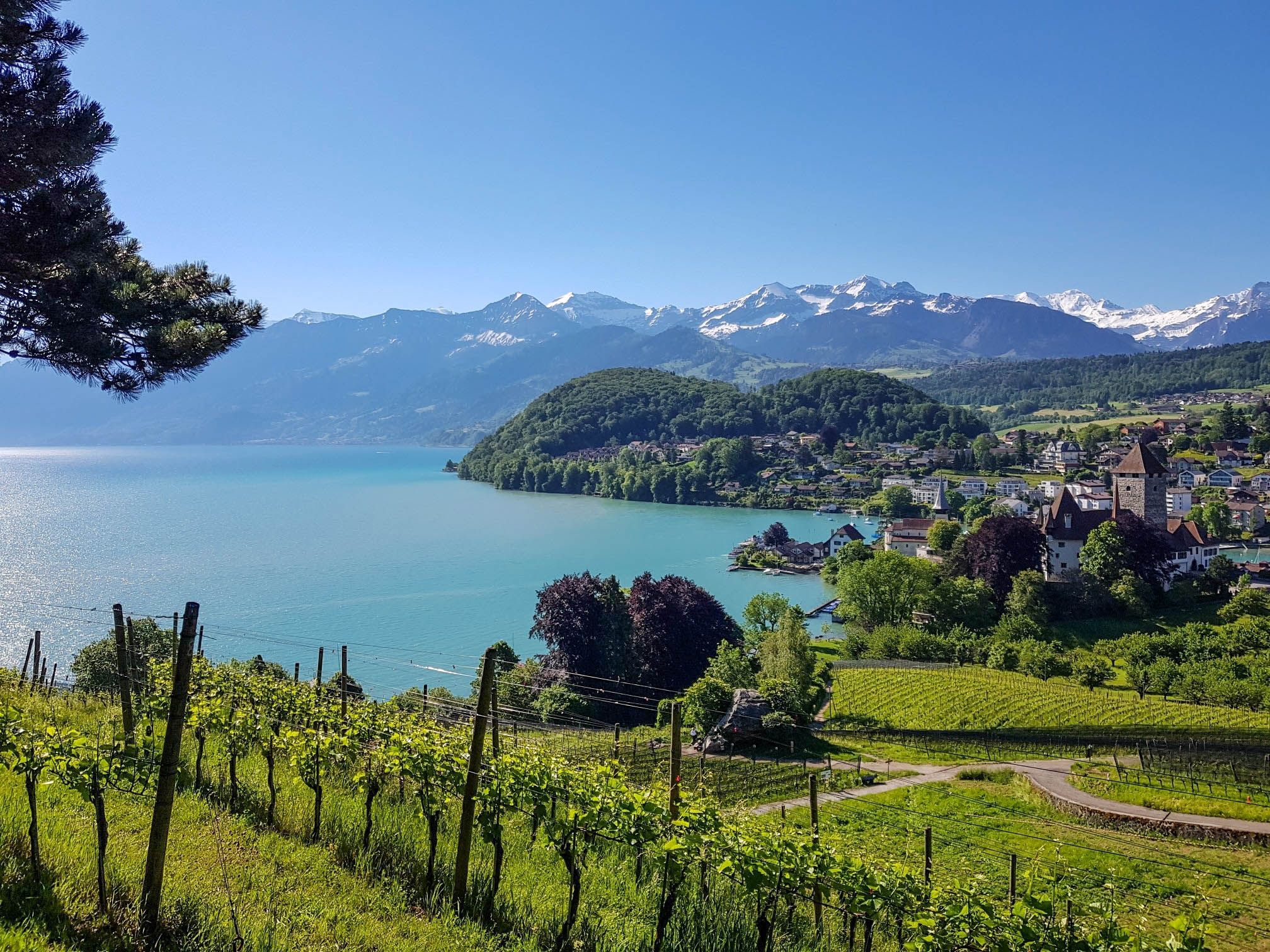
Panoramic circular trail around Switzerland's Lake Thun – Lake views at every turn
Napfbergland Border Trail – Hike between Bern and Lucerne
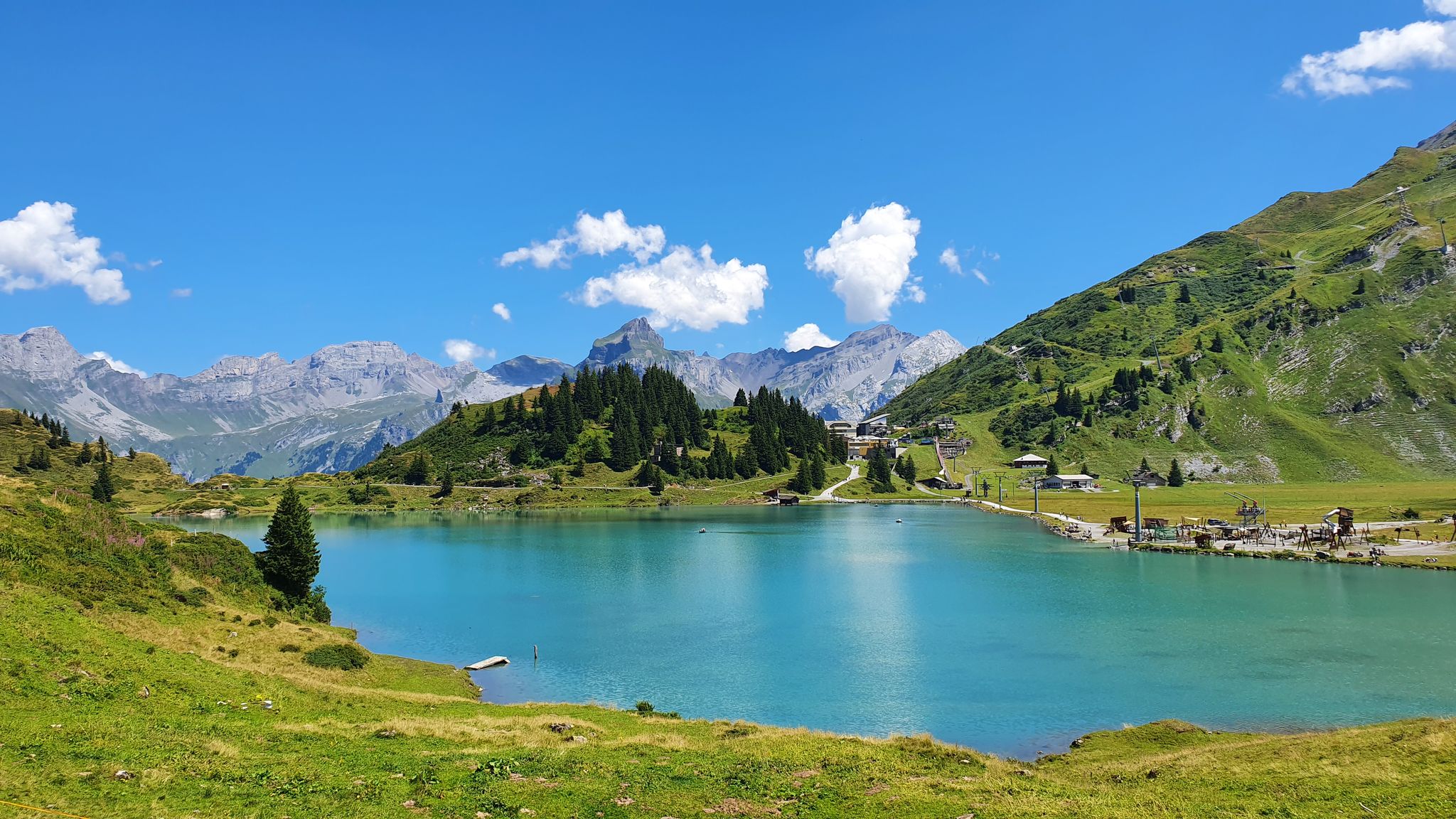
Via Alpina – The 15 stages of the Green Route

Via Jacobi – Following the Way of St James across Switzerland

Discover Grindelwald with the Victorinox Huntsman
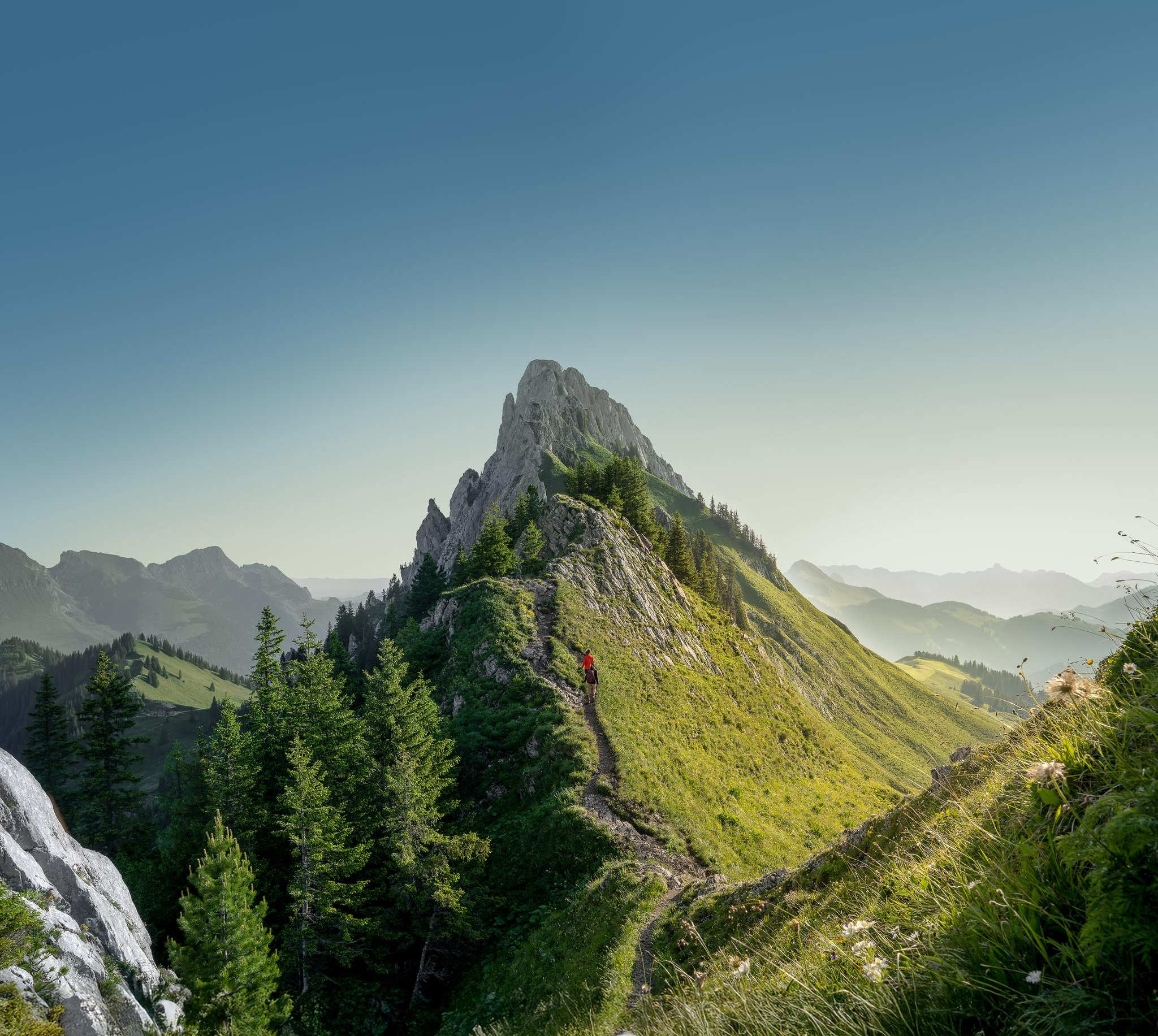
Zeit für mehr WANDERN – unsere 10 Highlights
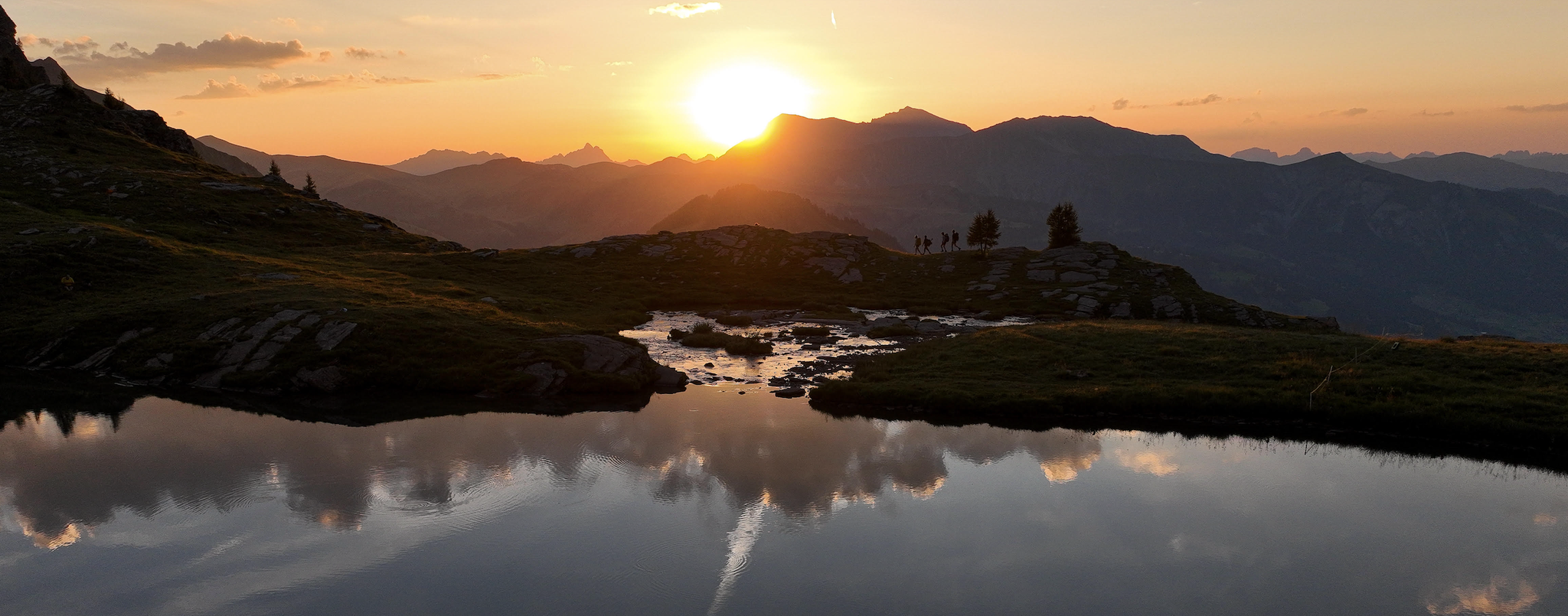
Late Summer: Great Hiking in Adelboden-Lenk-Kandersteg
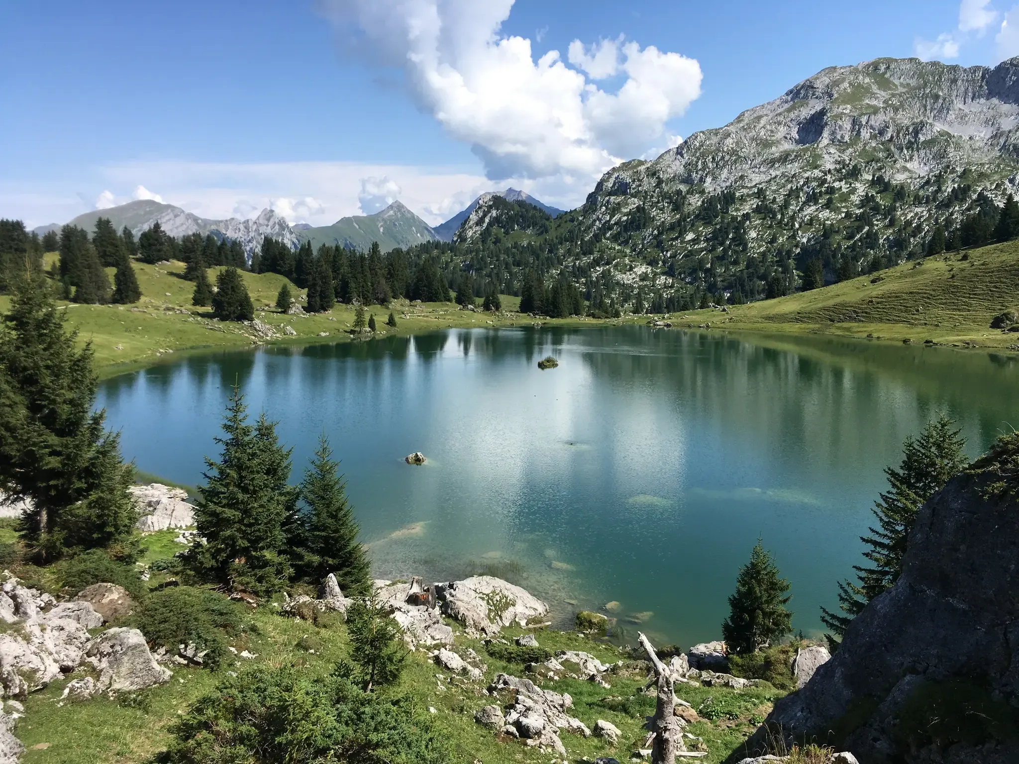
Mountain lakes, streams and castles – Berner Voralpenweg
Other adventures in the Verwaltungsregion Oberland


Tips from the Community

The hiking trail to the Sigriswiler Rothorn comes close to the tunnel entrance. However, the trail turns left 50 meters before that.
8
0
Beautiful and little-frequented summit with panoramic views
7
0


Difficult ascent including easy climbing but at the top everything is forgotten, the effort was worth it, the view is amazing.
0
1

Very nice there, but very crowded because it is easy to reach
0
0

The Sigriswiler Rothorn (2,051 m) is an impressive vantage point high above Lake Thun ⛰️🌊. The ascent is mostly along the ridge and requires surefootedness and a head for heights ⚠️🥾 – caution is advised, especially in wet conditions. At the top, you'll be rewarded with a fantastic 360° panorama: views of the Eiger, Mönch, and Jungfrau, the Mittelland, and Lake Brienz and Lake Thun 🏔️👀 – ideal for a summit rest and impressive photos 📸. Equipment: Sturdy hiking boots, weather protection 🧥, provisions 🥪, water 💧. No food or drink options along the way. Recommendation: Set off early ⏰, and avoid the ridge in uncertain weather. An absolutely worthwhile summit for experienced hikers!
1
0
The western entrance to the Schafloch is located slightly below the ridge and is easy to miss 👀 – pay attention to the trail markings! The entrance is via a short, steep path that can be slippery when wet ⚠️🥾. From here, the natural rock tunnel leads about 20m through the mountain – a fascinating experience 🪨⛰️. View: Right at the western portal, there is a magnificent view of Lake Thun and the Mittelland 🌄🌊 – be sure to pause for a moment and enjoy! Equipment: Sturdy hiking boots 🥾, possibly poles 🦯. A headlamp 🔦 is useful, as it is quite dark inside the tunnel. A cell phone 📱light will not suffice 😉. Safety: Not suitable in heavy rain or snow – the tunnel floor can become slippery. Recommended only for sure-footed hikers with a head for heights ⚠️. Special feature: The tunnel was formed by geological processes and is a rare natural phenomenon in Switzerland. It is one of the highlights of the Sigriswil ridge hike 🏞️.
1
0
A beautiful spot with stunning views of the Bernese Oberland! ⛰️🌲. The trail is well marked, but surefootedness is required, especially in wet conditions ⚠️. Recommendation: Start early ⏰ to enjoy the peaceful morning atmosphere! Equipment: Sturdy hiking boots 🥾, weatherproof clothing 🧥, and poles 🦯 if needed. Note: No refreshment stops – bring plenty of water 💧 and provisions 🥪.
2
0
Frequently Asked Questions
How many bus station hiking trails are available in the Verwaltungsregion Oberland?
The Verwaltungsregion Oberland offers over 1700 hiking trails directly accessible from bus stations, catering to a wide range of preferences and fitness levels. These include over 740 easy routes, nearly 790 moderate trails, and more than 250 challenging expeditions.
What do other hikers enjoy most about the bus station trails in the Verwaltungsregion Oberland?
Hikers highly rate the trails in the Verwaltungsregion Oberland, with an average score of 4.65 stars from over 23,000 reviews. Reviewers often praise the region's diverse landscapes, from majestic mountains to crystal-clear lakes, and the convenience of accessing trailheads via public transport.
Are there any easy bus station hikes suitable for beginners or families?
Yes, there are many easy routes ideal for beginners or families. An excellent option is the hike To the Sibe Brünne, which offers a pleasant walk with manageable elevation changes, perfect for a relaxed day out.
Can I find challenging bus station hikes in the Verwaltungsregion Oberland?
Absolutely. For experienced hikers seeking a challenge, the region offers numerous difficult routes. Consider the demanding To the ibexes on the Augstmatthorn - hiking around Interlaken, which features significant elevation gain and stunning alpine views. Another challenging option is the Sigriswiler Rothorn Panorama Trail, known for its panoramic vistas.
Are there any circular bus station hikes available?
Yes, many trails are designed as circular routes, allowing you to start and end at the same bus station. The Aeschi bei Spiez - Interlaken circular bench trail is a great moderate example, offering scenic views and a convenient loop back to your starting point.
What natural features or landmarks can I expect to see along these bus station trails?
The Verwaltungsregion Oberland is rich in natural beauty. Along the trails, you can encounter majestic mountains like the Eiger, Mönch, and Jungfrau, as well as stunning lakes such as Lake Oeschinen and Bachalpsee. You might also spot impressive waterfalls like the Staubbach Falls in the Lauterbrunnen Valley, or reach summits like Niederhorn Summit.
Are there bus station hikes that lead to viewpoints or summits?
Many bus-accessible trails offer rewarding ascents to viewpoints and summits. For instance, the Summit tour to the Morgenberghorn - hiking around Interlaken provides breathtaking panoramic views of the surrounding alpine landscape. You can also reach the Augstmatthorn Summit on a challenging route.
What is the best time of year to go hiking from bus stations in the Verwaltungsregion Oberland?
The best time for hiking in the Verwaltungsregion Oberland is generally from late spring to early autumn (May to October). During these months, trails are mostly free of snow, and the weather is more stable, offering pleasant temperatures and clear views. High-alpine routes might be accessible later in the season.
Are there any bus station hikes that pass by lakes or offer opportunities for wild swimming?
Yes, several bus-accessible trails lead to or pass by beautiful alpine lakes. While specific wild swimming spots depend on local regulations and conditions, lakes like Lake Oeschinen and Hinterstockensee are stunning destinations that can be reached via hiking trails, offering refreshing views and potential for a dip on warmer days.
Are there any bus station hikes that are particularly family-friendly?
The region offers many family-friendly options. Beyond easy trails, areas like Hasliberg are known for routes suitable for all ages. Look for trails with gentle gradients, clear paths, and points of interest like playgrounds or picnic spots. The Lauterbrunnen Valley also offers pleasant, flatter walks with views of waterfalls, which are great for families.
Can I bring my dog on bus station hikes in the Verwaltungsregion Oberland?
Many hiking trails in the Verwaltungsregion Oberland are dog-friendly, but it's always advisable to check specific trail regulations and local transport rules regarding dogs. Generally, dogs are welcome on leashes on most public paths. Be mindful of livestock in alpine meadows and ensure your dog is well-behaved around other hikers and wildlife.
Most popular routes in the Verwaltungsregion Oberland
Most popular attractions in the Verwaltungsregion Oberland

Get inspired with the komoot mobile app


Didn’t find what you were looking for?
Check out more Hikes throughout Verwaltungsregion Oberland below and find the perfect route in your destination.
Explore more
Browse the best Hikes in other regions.
