The best mountain hikes in the Verwaltungsregion Oberland
4.8
(285)
2,584
hikers
167
hikes
Mountaineering routes in the Verwaltungsregion Oberland Switzerland are characterized by dramatic alpine landscapes and diverse natural features. This region, often known as the Bernese Oberland, features mighty mountains, extensive glaciers, and deep ravines. Crystal-clear lakes and numerous valleys also define the terrain, offering a varied environment for alpine exploration.
Best mountaineering routes in the Verwaltungsregion Oberland
- The most popular mountaineering route is Jungfraujoch – Ascent to Mönchsjochhütte loop from Jungfrau, a 3.8 miles (6.2 km) trail that takes 4 hours 33 minutes to complete. This difficult route offers high-alpine views and glacier crossings.
- Another top favourite among local mountaineers is Tierbergli Via Ferrata – Steingletscher loop from Steingletscher, a difficult 3.0 miles (4.8 km) path. This route includes a via ferrata section with impressive views of the Steingletscher.
- Local mountaineers also love the Brothüsiweg Covered Bridge – Adlerhorst (1960 m) loop from Wimmis, a 4.6 miles (7.3 km) trail leading through varied mountain terrain, often completed in about 4 hours 2 minutes.
- Mountaineering in the Verwaltungsregion Oberland is defined by mighty mountains, glaciers, and crystal-clear lakes. The extensive network of routes offers options for various ability levels, from moderate ascents to challenging high-alpine expeditions.
- The routes in Verwaltungsregion Oberland are highly rated by the komoot community with an average score of 4.8 stars from more than 300 reviews. More than 2,700 mountaineers have used komoot to explore Verwaltungsregion Oberland's varied terrain.
Last updated: May 19, 2026
5.0
(3)
151
hikers
6.16km
04:33
440m
440m
Hard mountaineering route. Good fitness required. Sure-footedness, sturdy shoes and alpine experience required.
4.9
(13)
118
hikers
4.78km
05:07
670m
670m
Hard mountaineering route. Very good fitness required. Sure-footedness, sturdy shoes and alpine experience required.

Sign up for free
4.7
(15)
116
hikers
7.37km
04:02
730m
730m
Hard mountaineering route. Good fitness required. Sure-footedness, sturdy shoes and alpine experience required.
4.8
(10)
89
hikers
8.51km
06:31
960m
970m
Hard mountaineering route. Very good fitness required. Sure-footedness, sturdy shoes and alpine experience required.
5.0
(4)
65
hikers
Hard mountaineering route. Very good fitness required. Sure-footedness, sturdy shoes and alpine experience required.
5.0
(6)
67
hikers
3.54km
02:53
390m
380m
Hard mountaineering route. Good fitness required. Sure-footedness, sturdy shoes and alpine experience required.
4.6
(8)
62
hikers
7.21km
04:08
620m
620m
Hard mountaineering route. Good fitness required. Sure-footedness, sturdy shoes and alpine experience required.
4.9
(7)
65
hikers
10.7km
03:24
440m
440m
Moderate mountaineering route. Good fitness required. Easily-accessible paths. Suitable for all skill levels.
5.0
(2)
47
hikers
Hard mountaineering route. Very good fitness required. Sure-footedness, sturdy shoes and alpine experience required.
5.0
(4)
60
hikers
9.75km
07:13
1,270m
1,270m
Hard mountaineering route. Very good fitness required. Sure-footedness, sturdy shoes and alpine experience required.
Get access to more routes and recommendations from other explorers.
Sign up for free
Already have an account?
Our route recommendations are based on thousands of hikes, rides, and runs completed by other people on komoot.
Start today with a free account
Your next adventure awaits.
Login or Signup
Popular around Verwaltungsregion Oberland

Mountain Hikes around Stocken-Höfen

Mountain Hikes around Reutigen
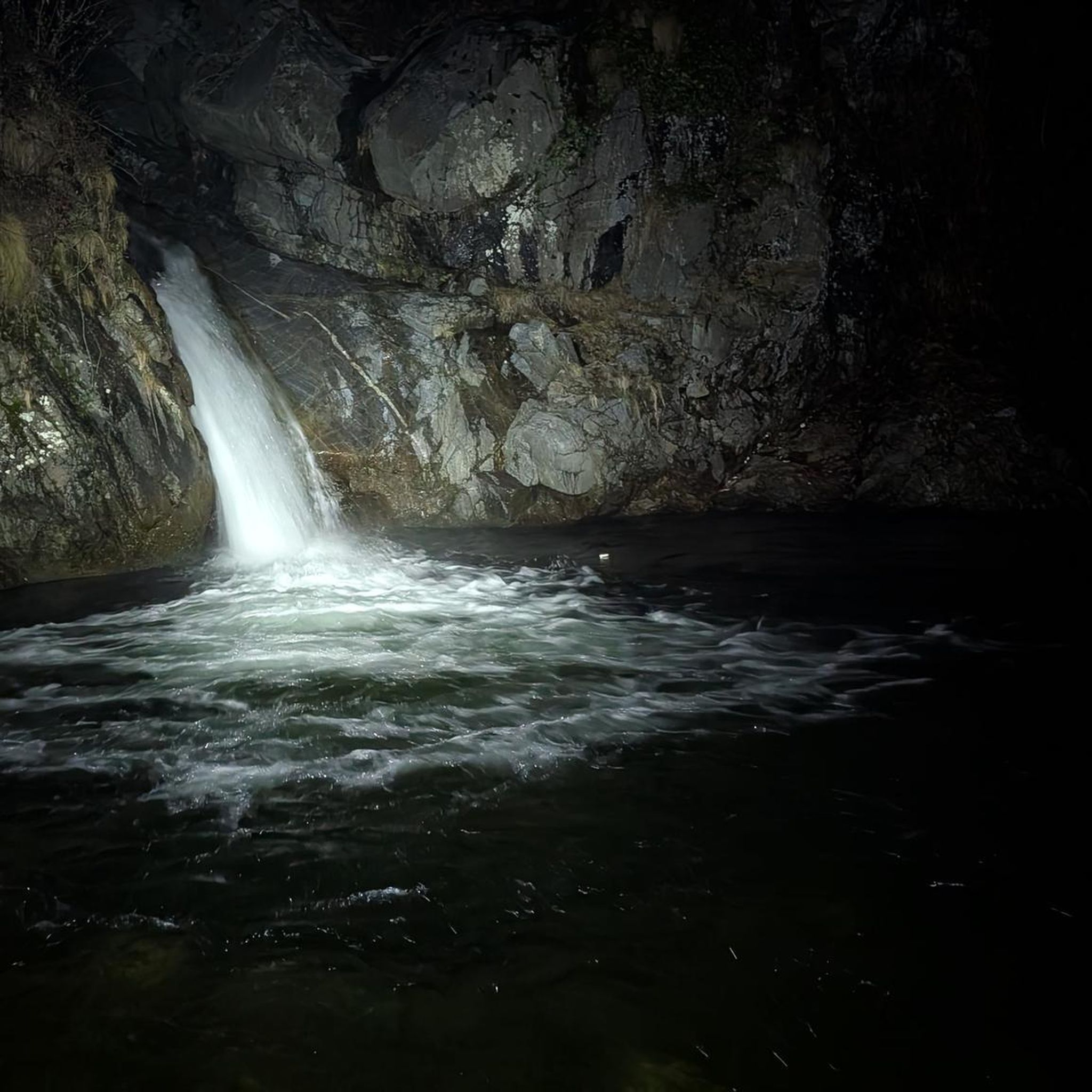
Mountain Hikes around Verwaltungskreis Thun
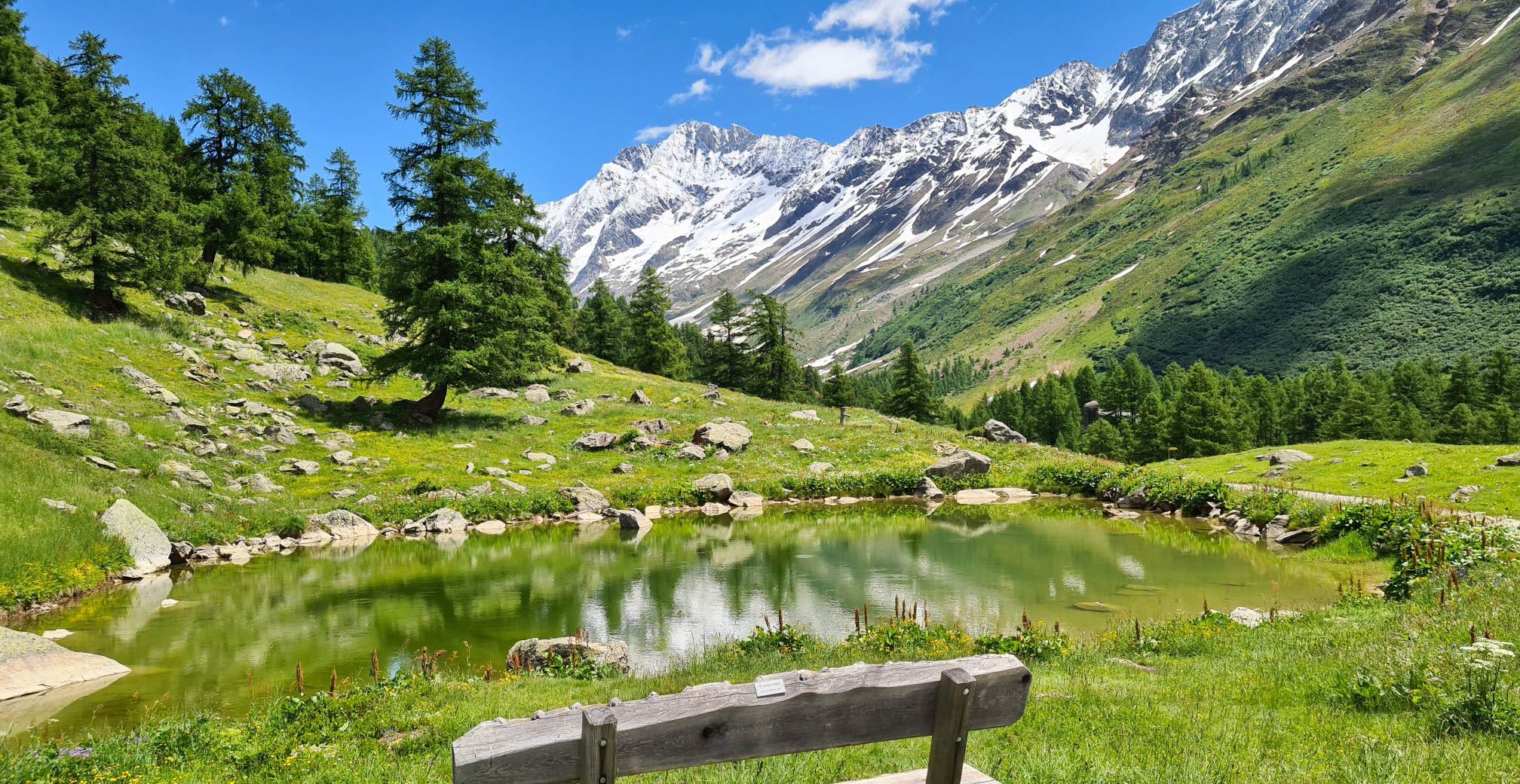
Lötschberg Panorama Trail – 4 days of alpine views in Switzerland
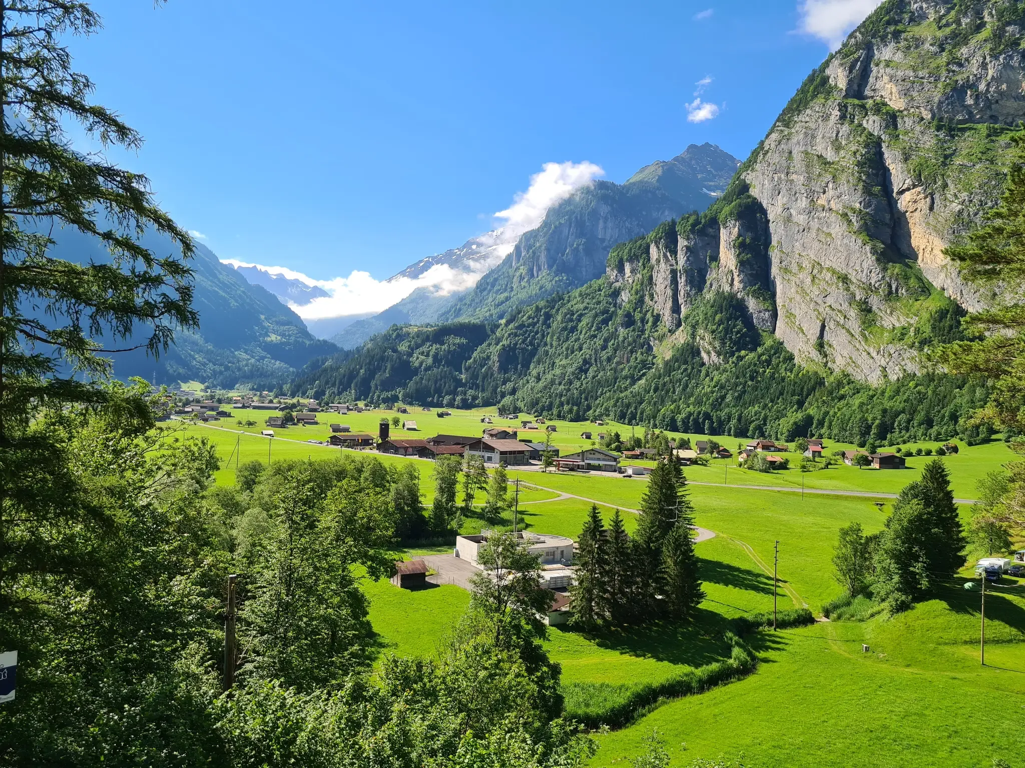
Aare Route – Everything Switzerland has to offer
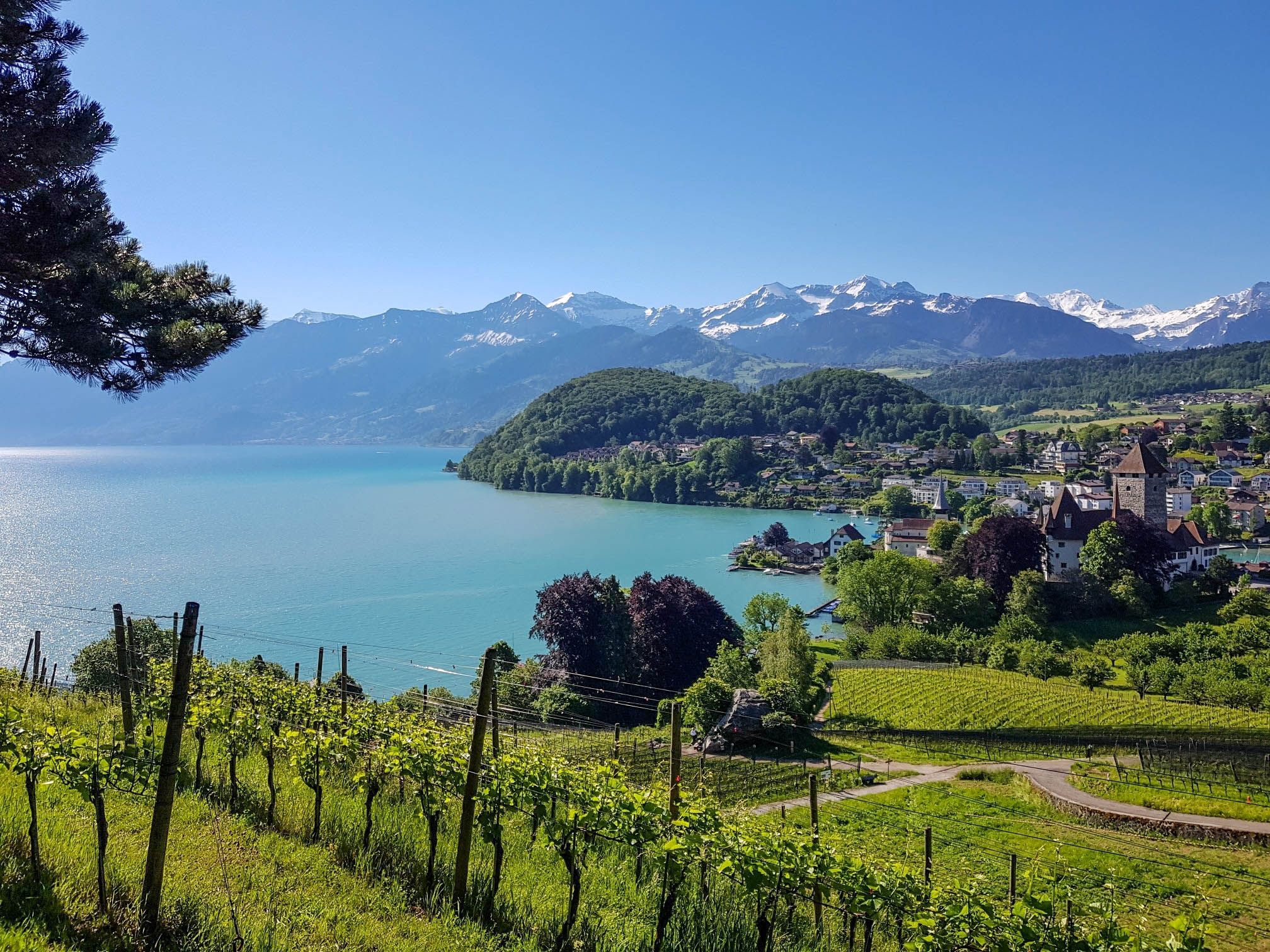
Panoramic circular trail around Switzerland's Lake Thun – Lake views at every turn

Hope 1000 – Bikepacking Switzerland in 11 stages
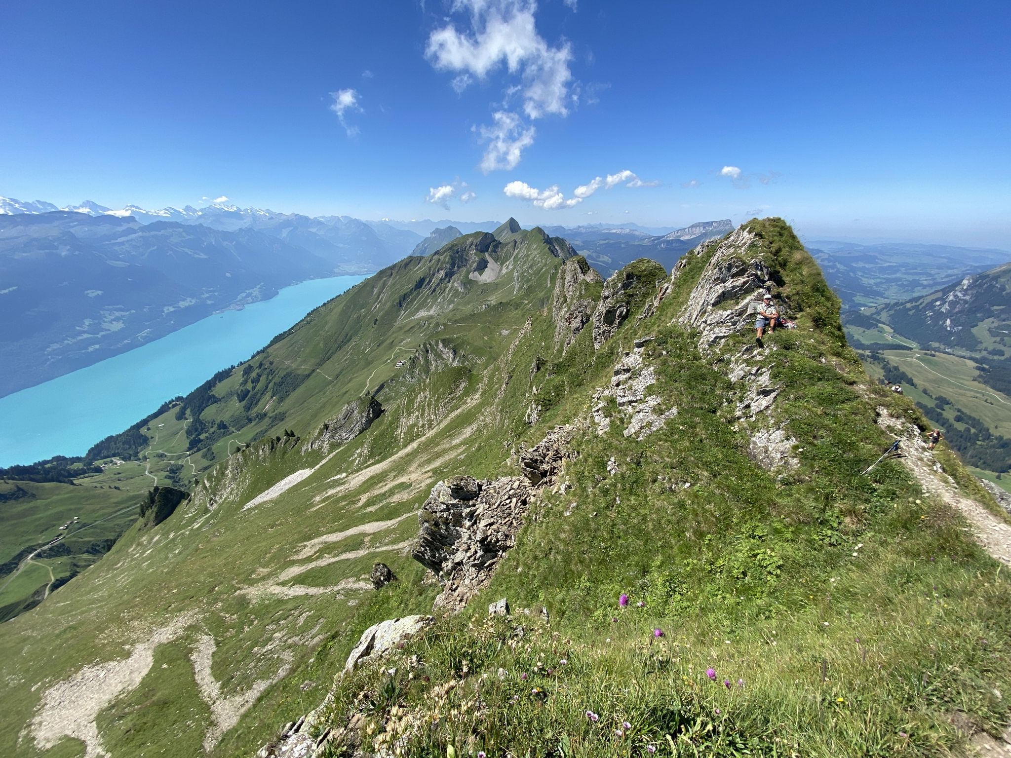
Napfbergland Border Trail – Hike between Bern and Lucerne
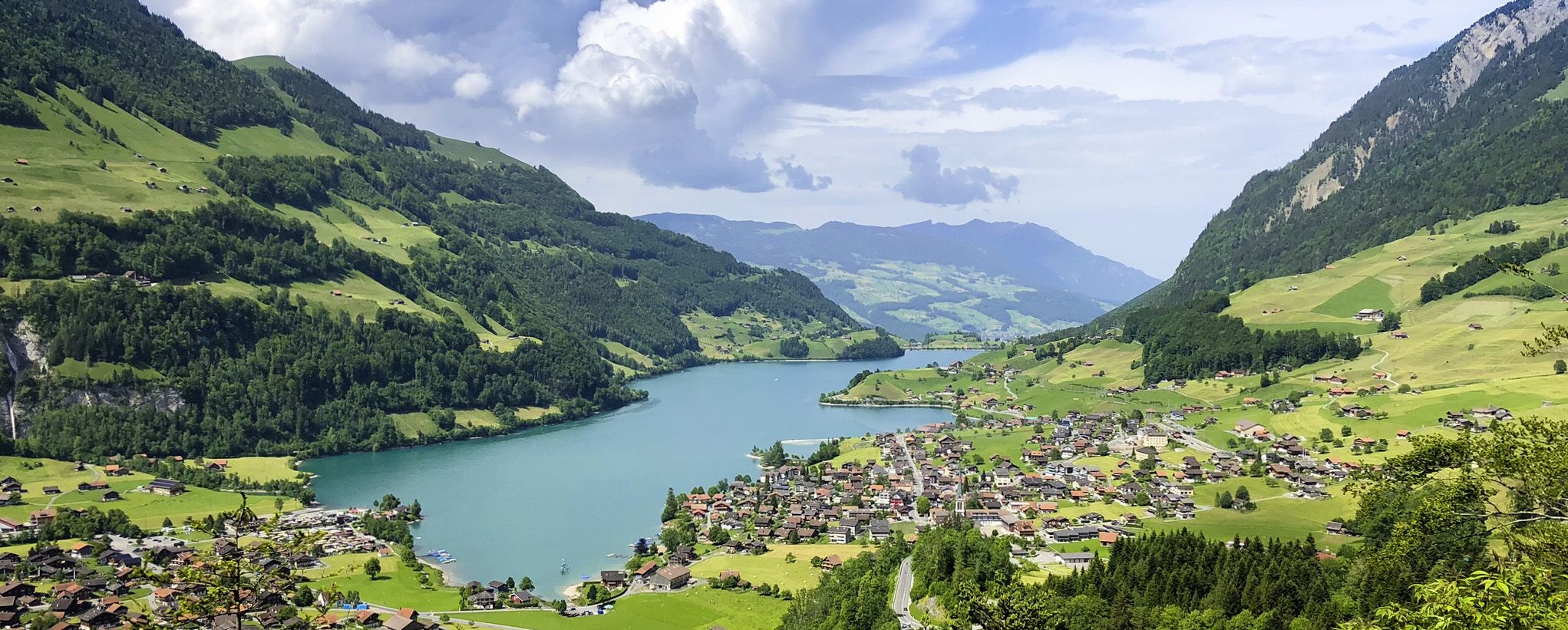
The Lakes Route – Picture-postcard views in the Swiss alpine foothills
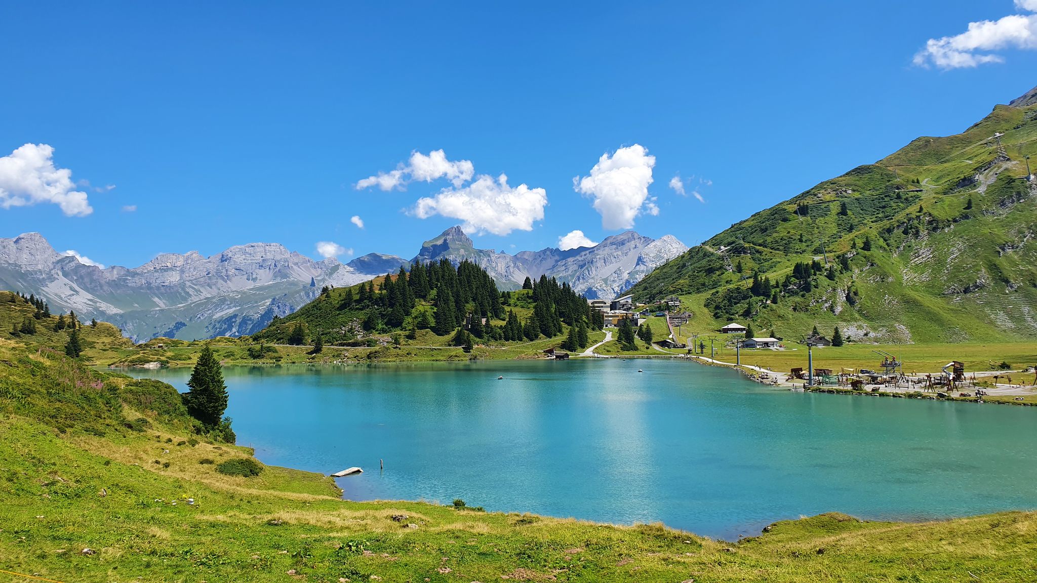
Via Alpina – The 15 stages of the Green Route
Other adventures in the Verwaltungsregion Oberland


Tips from the Community

The hut has a terrace with a fantastic view. The staff is very nice and the food is fine.
0
0

wonderful place, very worth seeing
0
0
wonderful place, very worth seeing
0
0
wonderful place, very worth seeing. .. unless you have to call REGA
0
0
wonderful place, very worthwhile
1
0
very pretty here, very pretty
0
0
Frequently Asked Questions
How many mountaineering routes are available in the Verwaltungsregion Oberland?
The Verwaltungsregion Oberland, also known as the Bernese Oberland, offers a vast network of mountaineering routes. You can explore over 180 routes, ranging from moderate ascents to challenging high-alpine expeditions.
Are there routes suitable for beginners or families in the Verwaltungsregion Oberland?
While many routes in the Verwaltungsregion Oberland are challenging, there are options for various skill levels. You'll find 4 easy and 45 moderate routes, which can be suitable for those with some experience or families looking for less strenuous alpine adventures. Always check the specific route details for difficulty and required fitness.
What are some challenging mountaineering routes for experienced climbers?
For experienced mountaineers, the region offers numerous demanding routes. Consider the Jungfraujoch – Ascent to Mönchsjochhütte loop from Jungfrau, a difficult 3.8-mile trail featuring high-alpine views and glacier crossings. Another challenging option is the Tierbergli Via Ferrata – Steingletscher loop from Steingletscher, which includes an impressive via ferrata section.
Can I find circular mountaineering routes in the Verwaltungsregion Oberland?
Yes, many mountaineering routes in the Verwaltungsregion Oberland are designed as loops, allowing you to start and end at the same point. Examples include the Brothüsiweg Covered Bridge – Adlerhorst (1960 m) loop from Wimmis or the Tälli Via Ferrata loop from Tällihütte, both offering diverse alpine experiences.
Are there any routes that feature waterfalls or glaciers?
Absolutely. The Verwaltungsregion Oberland is renowned for its stunning natural features. The Lauterbrunnen Valley, known as the 'valley of 72 waterfalls,' offers spectacular cascades. For glacier views, routes like the Jungfraujoch – Ascent to Mönchsjochhütte loop provide high-alpine glacier crossings, and the Oberer Grindelwald Glacier – Gleckstein Hut loop offers views of the impressive Oberer Grindelwald Glacier.
What kind of natural attractions can I expect to see along the mountaineering routes?
The region is rich in natural beauty. You can encounter crystal-clear lakes like Lake Oeschinen or Bachalpsee, towering peaks such as the Eiger and Jungfrau, and deep gorges. Many routes offer panoramic views from summits like Augstmatthorn Summit or unique experiences like the First Cliff Walk.
Are there options for mountaineering with convenient parking?
Many trailheads in the Verwaltungsregion Oberland offer parking facilities, especially near popular starting points for mountaineering routes. It's always advisable to check specific route descriptions or local information for parking availability and any associated fees before you set out.
What is the best time of year for mountaineering in the Verwaltungsregion Oberland?
The prime season for mountaineering in the Verwaltungsregion Oberland is typically from late spring to early autumn (June to September), when trails are generally free of snow and weather conditions are more stable. However, high-alpine routes can retain snow and ice well into summer, and conditions can change rapidly. Always check local weather forecasts and trail conditions.
Are there any via ferratas or climbing opportunities in the region?
Yes, the Verwaltungsregion Oberland is a hub for climbing. Besides traditional mountaineering, you can find several via ferratas, such as the Tierbergli Via Ferrata or the Tälli Via Ferrata. The Engelhörner area is also known for diverse climbing experiences, including long alpine and multi-pitch sport routes.
What do other mountaineers say about the routes in the Verwaltungsregion Oberland?
The mountaineering routes in the Verwaltungsregion Oberland are highly rated by the komoot community, with an average score of 4.8 stars from over 300 reviews. Mountaineers often praise the dramatic alpine landscapes, the challenging yet rewarding ascents, and the breathtaking views of glaciers and iconic peaks.
Are there any routes that offer views of iconic peaks like the Eiger or Jungfrau?
Absolutely. The Verwaltungsregion Oberland is home to some of Switzerland's most famous peaks. The View of the Eiger Glacier – North Face of the Eiger loop from Eigergletscher offers direct views of the Eiger. Many routes in the Jungfrau region, including the Jungfraujoch – Ascent to Mönchsjochhütte loop, provide stunning vistas of the Jungfrau and Mönch.
Can I find routes that pass by mountain huts or places to rest?
Yes, several mountaineering routes in the region incorporate mountain huts, providing opportunities for rest, refreshments, or even overnight stays. The Oberer Grindelwald Glacier – Gleckstein Hut loop, for instance, leads to the Gleckstein Hut. You can also find huts like the Gelmer Hut near some routes.
What makes the Verwaltungsregion Oberland a unique mountaineering destination?
The Verwaltungsregion Oberland stands out due to its unparalleled combination of majestic white mountaintops, extensive glaciers like the Aletsch Glacier, deep ravines, and crystal-clear lakes. It offers a diverse range of routes, from challenging high-alpine expeditions to via ferratas, all set against the backdrop of Switzerland's most iconic alpine scenery.
Most popular routes in the Verwaltungsregion Oberland
Most popular attractions in the Verwaltungsregion Oberland

Get inspired with the komoot mobile app


Didn’t find what you were looking for?
Check out more Mountain Hikes & Routes throughout Verwaltungsregion Oberland below and find the perfect route in your destination.
Explore more
Browse the best Mountain Hikes & Routes in other regions.
