The best city hikes and walks in the Rheingau
4.6
(16113)
72,336
hikers
319
hikes
Urban hiking trails in the Rheingau offer diverse routes through a landscape shaped by the Rhine River, vineyards, and historic towns. The region features rolling hills, often topped with castles, providing views over the river valley. Many trails follow the Rhine's banks or wind through the extensive vineyards that characterize this area. The terrain generally includes riverside paths, paved sections within towns, and gentle ascents through vine-covered slopes.
Best urban hiking trails in the Rheingau
- The most popular urban hiking…
Last updated: June 26, 2026
21
hikers
Easy hike. Great for any fitness level. Easily-accessible paths. Suitable for all skill levels.
3.7
(3)
13
hikers
Easy hike. Great for any fitness level. Easily-accessible paths. Suitable for all skill levels.

Sign up for free
13
hikers
Easy hike. Great for any fitness level. Easily-accessible paths. Suitable for all skill levels.
3.0
(1)
13
hikers
Easy hike. Great for any fitness level. Easily-accessible paths. Suitable for all skill levels.
4.0
(2)
12
hikers
Easy hike. Great for any fitness level. Easily-accessible paths. Suitable for all skill levels.
Get access to more routes and recommendations from other explorers.
Sign up for free
Already have an account?
Our route recommendations are based on thousands of hikes, rides, and runs completed by other people on komoot.
Start today with a free account
Your next adventure awaits.
Login or Signup
Popular around Rheingau

11 Hessen trails – criss-cross through the countryside
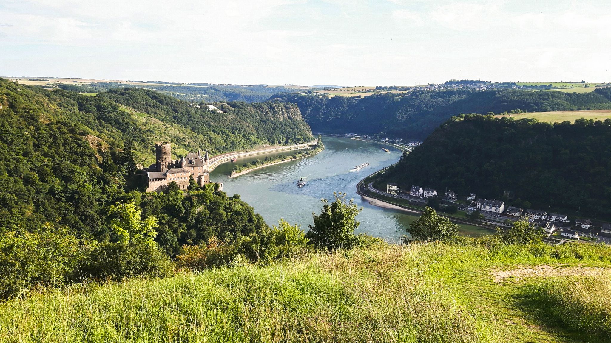
Rheinsteig Trail – The 21 stages along the Rhine
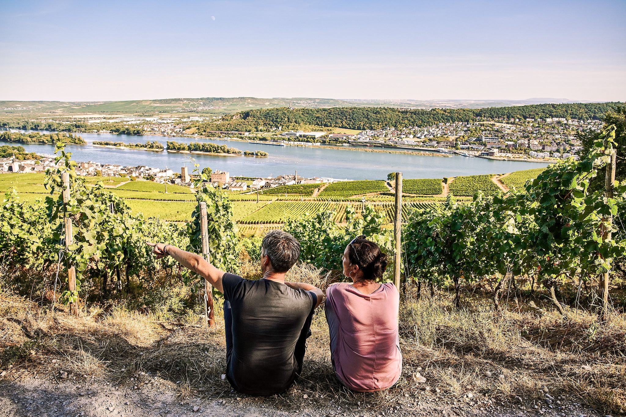
Riesling Loops – 14 routes rich in wine and history

#GoFurther – discover the views of Germany!

Discover the wintry Rhine-Main region
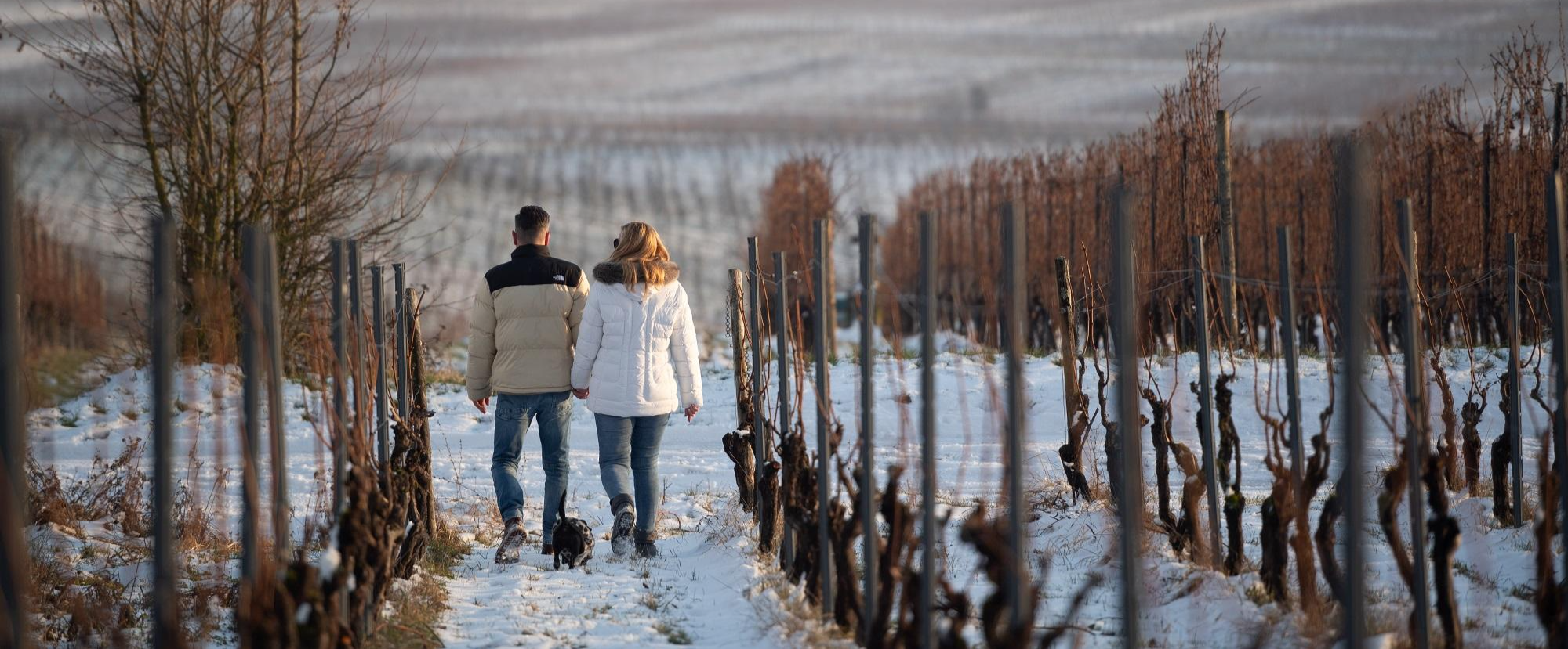
Winter charm – Frosty-beautiful natural experiences in Rüdesheim am Rhein
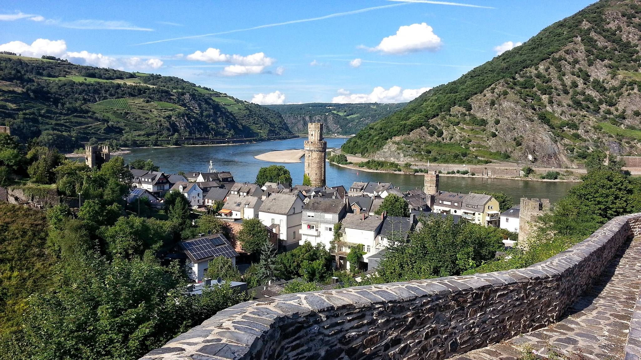
The enchanting Rhine – Day hikes in the Upper Middle Rhine Valley
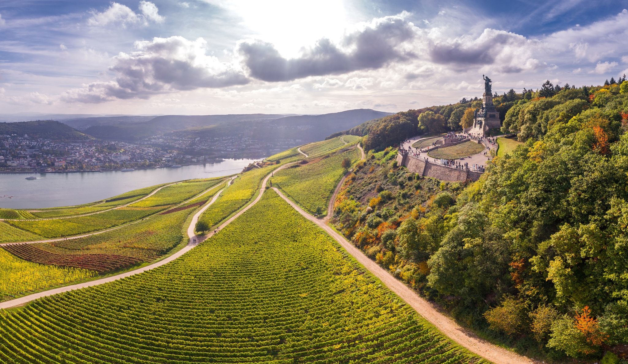
Cycling in the land of the Rhine and Riesling – foodie Tours around Rüdesheim
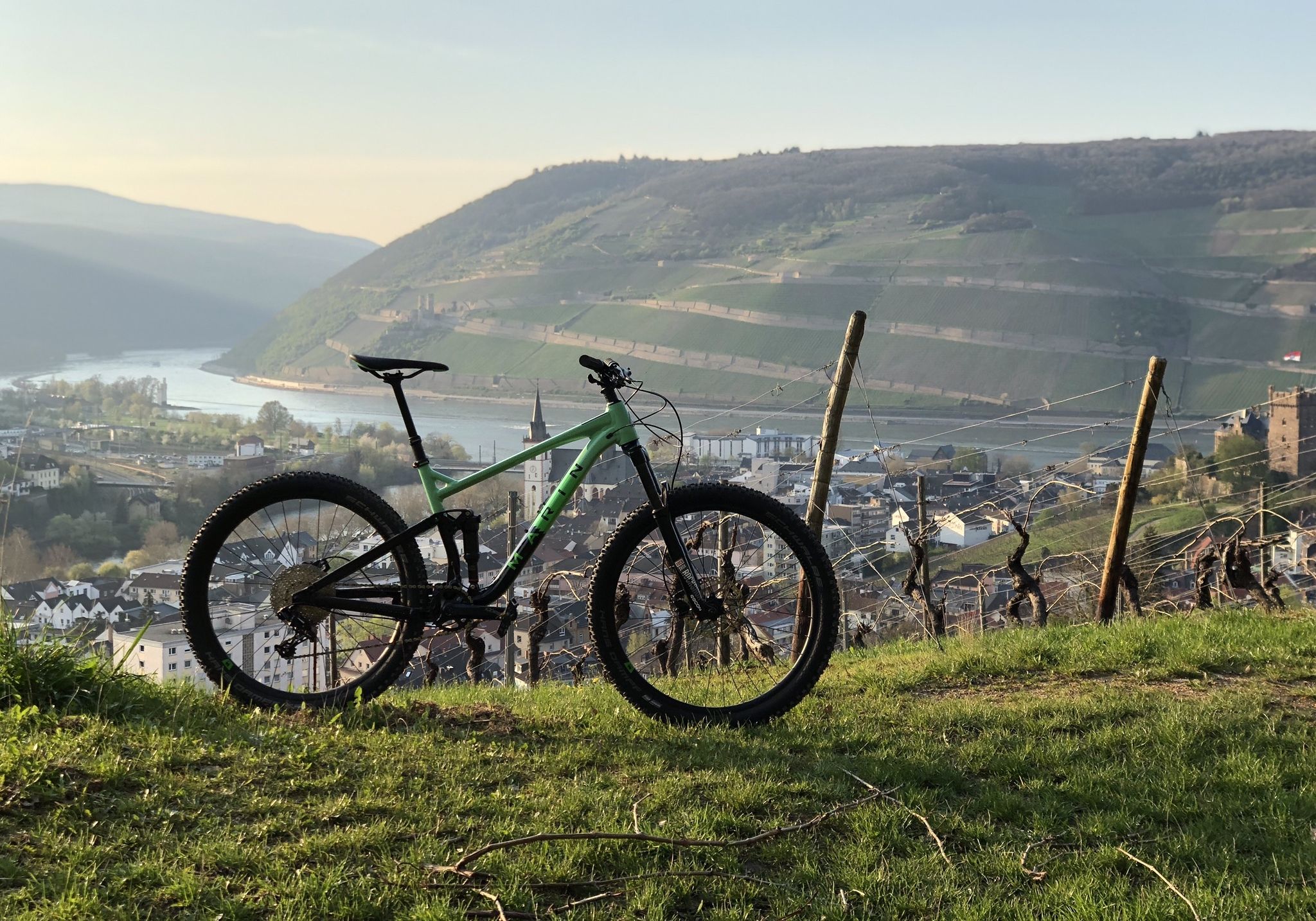
Between vineyards and the River Rhine – MTB trails around Rüdesheim
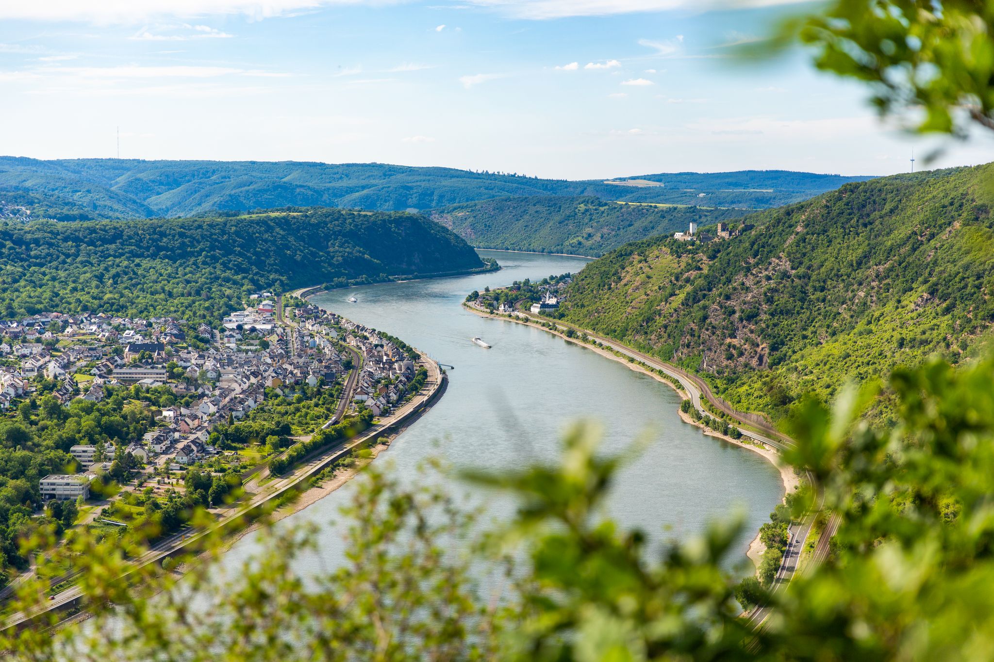
Bergauf und bergab entlang des Rheins – Abenteuer Rheinsteig
Other adventures in the Rheingau


Tips from the Community

Extensive information from the Förderverein Pankratiuskirche Budenheim association about the normally locked church can be found here: https://www.regionalgeschichte.net/rheinhessen/aktive-in-der-region/foerderverein-pankratiuskirche-budenheim/pankratiuskirche.html
2
0

Beautiful park on the Rhine riverbank
0
0
Beautiful sunset view
0
0
Beautiful bronze statue of the fire brigade
0
0
Very delicious wine, worth visiting
0
0

At the Rhine-Nahe corner is the impressive Poseidon sculpture, which was created by the Kiel artist Jo Kley at the beginning of the State Garden Show in 2008.
1
0

Ingelheim station is not only a modern transportation hub, but also a historical testament to the industrialization of Rheinhessen. Historical Milestones Opening (1859): The station was opened on October 17, 1859, as part of the "Left Rhine Line" of the Hessian Ludwig Railway. At that time, it was located in open fields in the Nieder-Ingelheim district. Economic Engine: The railway connection laid the foundation for Ingelheim's rise. For example, in 1885, Albert Boehringer established a cream of tartar factory near the station, which would later become the global pharmaceutical company. The "Zuckerlottchen" (1904–1954): From 1904, Ingelheim was a hub for the Selztalbahn railway. This narrow-gauge railway connected the Rhine port of Frei-Weinheim with the hinterland and was affectionately nicknamed "Zuckerlottchen" (Little Sugar Beet) due to the frequent sugar beet transports. City Incorporation (1939): Although the train station had borne the name "Ingelheim" since 1859, the towns of Nieder-Ingelheim and Ober-Ingelheim did not merge to form the city of Ingelheim until 80 years later. The Train Station Today: Modernity Meets Tradition Restoration: The historic station building was carefully restored according to the original design and is now part of the "New Center" ensemble. Sustainable Mobility: Where freight sheds once stood, there is now the modern "fahr Rad! HALLE," a glass-walled bicycle parking garage with almost 400 spaces. Proximity to the City Center: Due to urban development, the train station is no longer located "in the countryside" but forms the gateway to the modern Ingelheim city center with direct access to shops and cultural offerings.
12
0
Frequently Asked Questions
How many urban hiking trails are available in the Rheingau?
The Rheingau offers a wide selection of urban hiking trails, with over 320 routes available. The majority, around 270, are rated as easy, making them accessible for most hikers.
What is the general difficulty level of urban hikes in the Rheingau?
Most urban hikes in the Rheingau are considered easy, with over 270 routes falling into this category. There are also about 48 moderate trails and a few more challenging options for experienced hikers.
What do other hikers enjoy most about urban trails in the Rheingau?
The komoot community highly rates urban hikes in the Rheingau, with an average score of 4.6 stars. Hikers frequently praise the scenic views, the blend of natural beauty with historical towns, and the well-maintained paths that make exploring the region a pleasure.
What natural features can I expect to see on urban hikes in the Rheingau?
Urban hikes in the Rheingau often feature the picturesque Rhine River, expansive vineyards, and the foothills of the Taunus Mountains. You'll encounter diverse landscapes, from riverine scenery to vine-covered hills and forested slopes. Many routes offer stunning views over the Rhine Valley, such as from the Niederwald monument or the View over the Rhine Valley from Bubenhäuser Höhe.
Are there any historical sites or landmarks along urban trails in the Rheingau?
Yes, many urban trails in the Rheingau lead to significant historical sites. You can explore the majestic Niederwald monument near Rüdesheim, or visit the charming Eltville Electoral Castle and Rose Garden. The famous Drosselgasse in Rüdesheim is also integrated into many routes, offering a lively cultural experience.
Are there family-friendly urban hiking options in the Rheingau?
Yes, the Rheingau offers several family-friendly urban hikes. For example, the Drusus Bridge – View of Burg Ehrenfels loop from Bingen is an easy route suitable for families, providing pleasant views and manageable distances. The region's dedicated Riesling circular trails, typically 4-8 kilometers, are also great for leisurely family outings.
Can I bring my dog on urban hikes in the Rheingau?
Many urban hiking trails in the Rheingau are dog-friendly, allowing you to enjoy the scenic beauty with your canine companion. Always keep your dog on a leash, especially in vineyards, populated areas, and nature reserves. Remember to carry water for both yourself and your dog, and clean up after them.
Are there circular urban hiking routes in the Rheingau?
Yes, the Rheingau features numerous circular urban hiking routes, perfect for starting and ending your journey in the same spot. Examples include the easy Rhine riverside in Budenheim loop or the Budenheim Bicycle Ferry – Rhein Riverside Park loop. The region also boasts 14 dedicated Riesling circular trails that wind through the vineyards.
Is it easy to access urban hiking trails in the Rheingau by public transport?
Yes, many urban hiking trails in the Rheingau are well-connected by public transport. Towns like Rüdesheim, Eltville, and Assmannshausen are integrated into numerous routes and are accessible by train or bus, making it convenient to start and finish your hike without a car. For instance, the Ingelheim Train Station – La Gondola Ice Cream Café loop starts directly from a train station.
Are there places to eat or drink along the urban hiking routes?
Absolutely. The Rheingau is renowned for its wine culture, and many urban hiking routes pass through charming towns and vineyards where you'll find numerous wine taverns, cafes, and restaurants. These offer opportunities to sample local wines and cuisine, providing perfect spots for a break or a meal during your hike.
What is the best time of year for urban hiking in the Rheingau?
The Rheingau is beautiful year-round, but spring (April-May) and autumn (September-October) are particularly popular for urban hiking. In spring, the vineyards burst into life, and in autumn, the foliage offers spectacular colors, coinciding with the wine harvest festivals. Summer also provides pleasant conditions, especially for riverside walks.
Most popular routes in the Rheingau
Most popular attractions in the Rheingau

Get inspired with the komoot mobile app


Explore more
Browse the best Hikes in other regions.
