The best hikes from bus stations in the Vulkaneifel
4.5
(39572)
134,049
hikers
1,635
hikes
Hiking in the Vulkaneifel offers a landscape shaped by ancient volcanic activity, featuring numerous maars (crater lakes), dense forests, and river valleys. The region is characterized by its unique geological formations, including volcanic cones and basalt outcrops, providing varied terrain for exploration. Trails often traverse rolling hills and offer views of the distinctive water-filled craters. This area provides a diverse natural environment for outdoor activities.
Best bus station hiking trails in the Vulkaneifel
- The most popular bus station hiking route is Schalkenmehrener Maar – View of the Weinfelder Maar loop from Schalkenmehren, a 5.0 miles (8.1 km) trail that takes 2 hours 26 minutes to complete. This moderate route offers views of two prominent maars.
- Another top favourite among local hikers is Dronke Tower on the Mäuseberg – Schalkenmehrener Maar loop from Schalkenmehren, a moderate 6.0 miles (9.7 km) path. This trail leads to the Dronke Tower, providing panoramic views over the region's maars.
- Local hikers also love the HeimatSpur Wacholder-Kyll-Weg, a 7.7 miles (12.3 km) trail leading through juniper fields and the Kyll river valley, often completed in about 3 hours 28 minutes.
- Hiking in the Vulkaneifel is defined by volcanic landscapes, serene maars, and extensive forests. The network of bus station hiking trails offers options for various ability levels, from easy strolls to more challenging routes.
- The routes in Vulkaneifel are highly rated by the komoot community with an average score of 4.5 stars from more than 34,000 reviews. More than 126,000 hikers have used komoot to explore Vulkaneifel's varied terrain.
Last updated: August 23, 2026
4.8
(1676)
5,414
hikers
Moderate hike. Good fitness required. Easily-accessible paths. Suitable for all skill levels.
4.7
(582)
2,096
hikers
Moderate hike. Good fitness required. Easily-accessible paths. Suitable for all skill levels.

Sign up for free
4.6
(71)
231
hikers
12.3km
03:28
250m
260m
Moderate hike. Good fitness required. Mostly accessible paths. Sure-footedness required.
4.4
(36)
155
hikers
26.2km
07:20
510m
510m
Hard hike. Very good fitness required. Easily-accessible paths. Suitable for all skill levels.
4.6
(484)
1,569
hikers
6.47km
01:48
120m
120m
Easy hike. Great for any fitness level. Easily-accessible paths. Suitable for all skill levels.
Get access to more routes and recommendations from other explorers.
Sign up for free
Already have an account?
Our route recommendations are based on thousands of hikes, rides, and runs completed by other people on komoot.
Start today with a free account
Your next adventure awaits.
Login or Signup
Popular around Vulkaneifel
Hikes from bus stations in Lampertstal Und Alendorfer Kalktriften Und Mit Fuhrbach Und Mackental
Hikes from bus stations around Gerolstein
Hikes from bus stations around Weinfelder Maar
Hikes from bus stations around Schalkenmehrener Maar
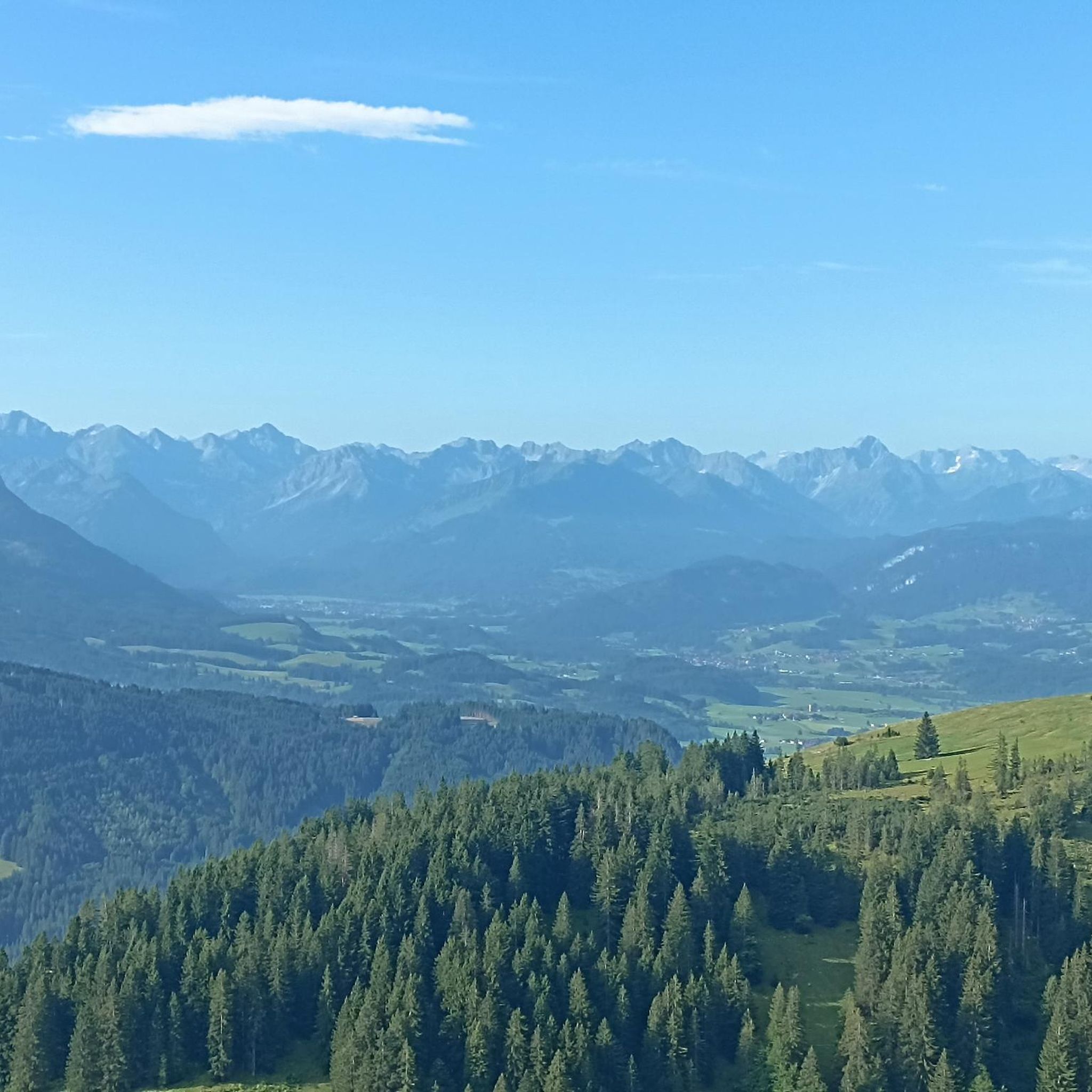
Hikes from bus stations around Daun
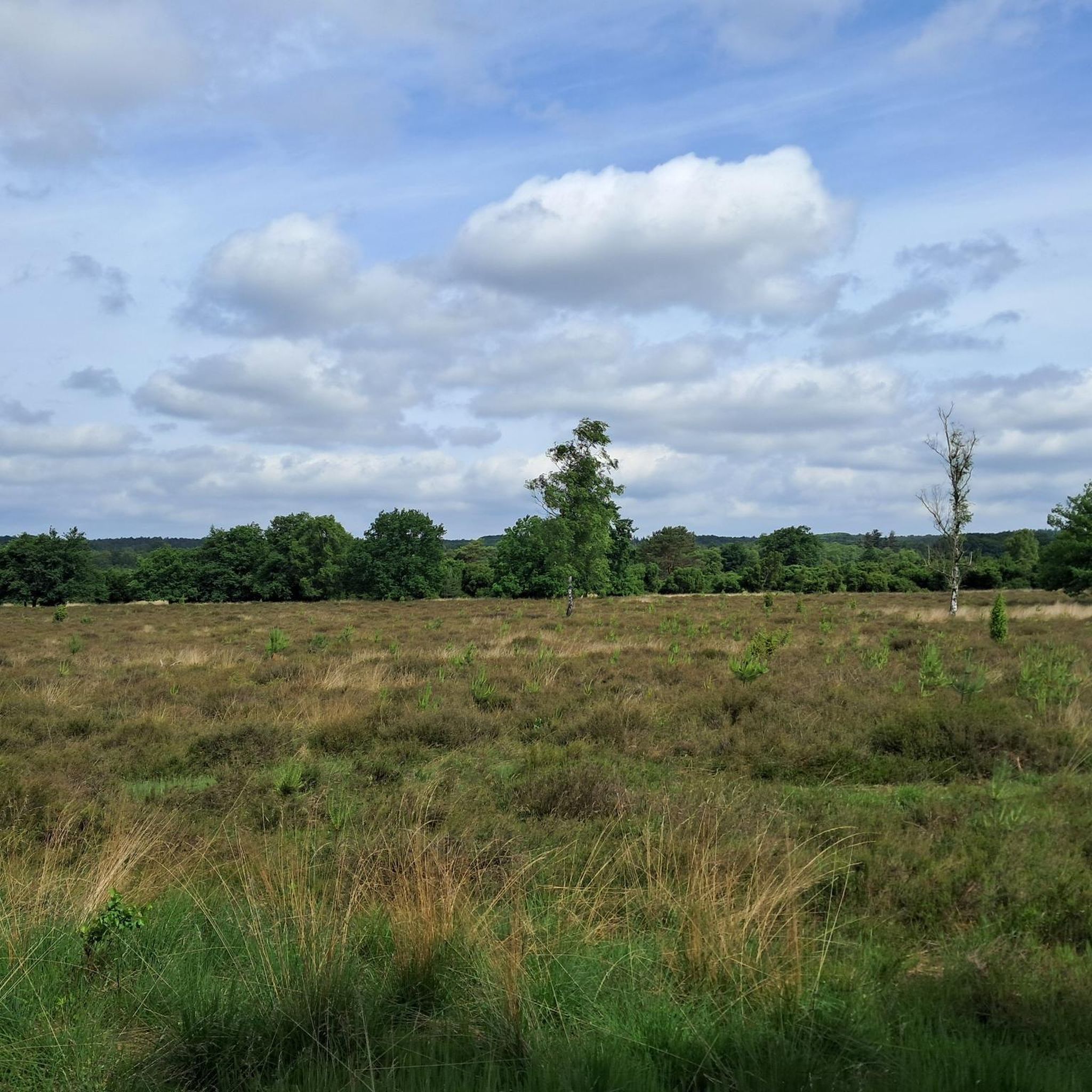
Hikes from bus stations in Dauner Maare
Hikes from bus stations around Üxheim
Hikes from bus stations around Hillesheim
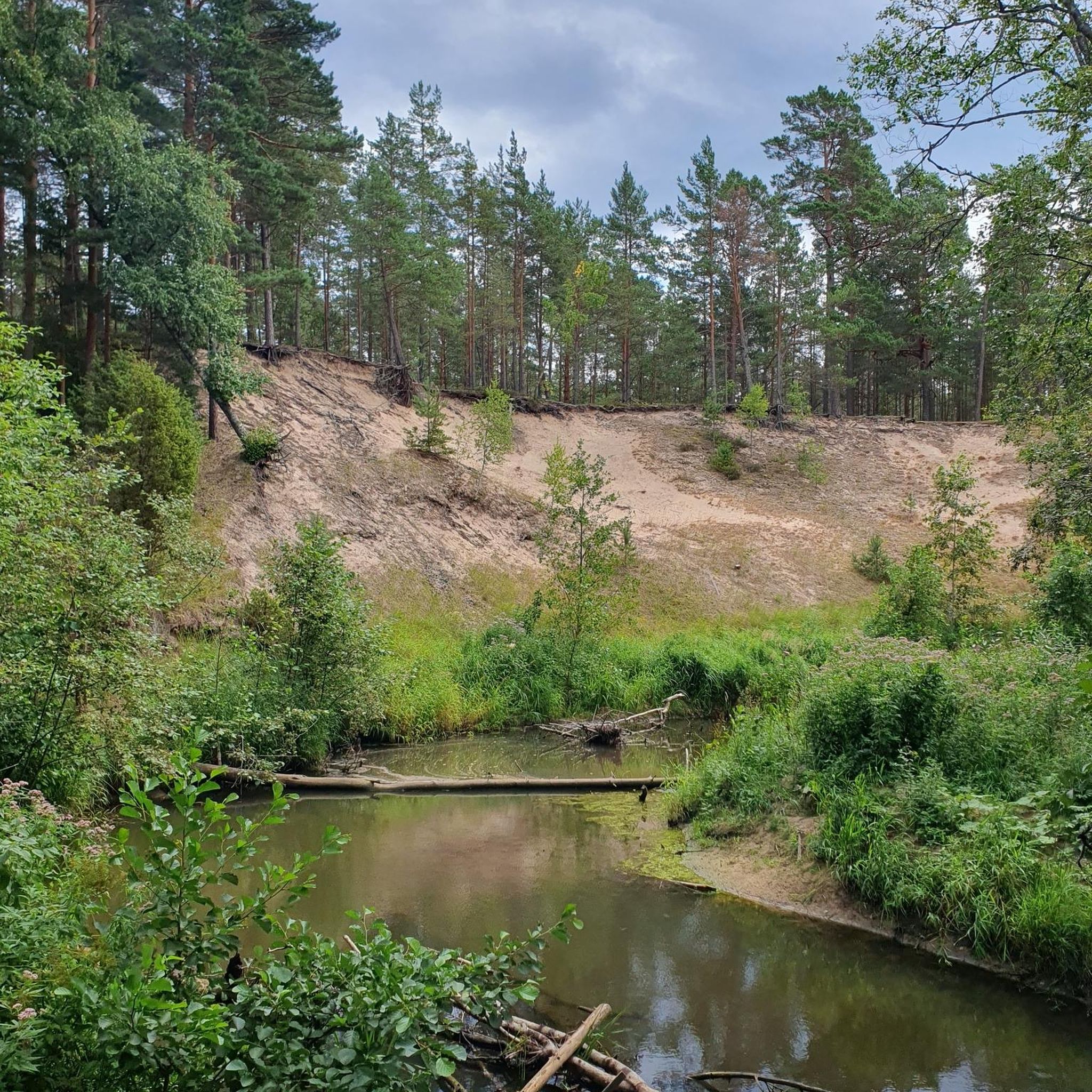
Hikes from bus stations around Kerpen (Eifel)
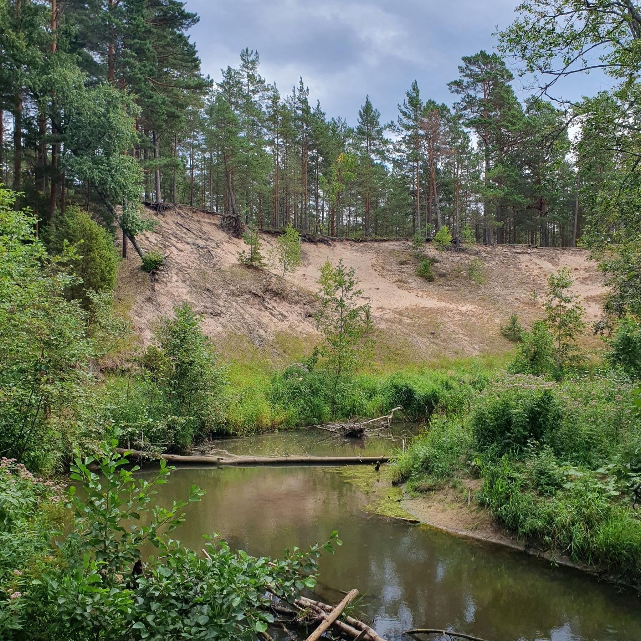
Hikes from bus stations around Wiesbaum
Other adventures in the Vulkaneifel


Tips from the Community

Wonderfully located, highly recommended.
0
0

But with a great natural swimming area and super water quality.
0
0


The urge to "immerse oneself in nature" is not a modern trend that we humans of the 21st century are letting ourselves be led into – for example, with the komoot tour planner – but is based on much older behaviors and the ancient knowledge that it simply does good. Already in a "little book of reminders" written by Peter Rosegger (1843 to 1918), the exhortation reads: "We must once again properly bring out our healthy limbs and immerse ourselves in nature, rediscovering within ourselves the lost strengths that are ours. That... makes you fresh, makes you strong, and makes you wise. You learn a lot from it, especially how to live simply and become cheerful."
0
0
All hikers / walkers, who are enjoying this view that presents itself to the eye here, I would like to invite with the words of the writer Otto Wilhelm Ullmann to discover the world (and with it the beauty of nature): "Hiking means discovering the world, finding hidden corners, in old alleys, quiet spots feeling the bliss of peace, raising reverence for the old and nurturing the heritage of the fathers, awakening joy from the smallest things: Hiking means discovering the world."
2
0
The "Heimatspur Maareglück", which hikers/walkers repeatedly encounter in the vicinity of the Totenmaar, the Schalkenmehrener Maar, and the Gemündener Maar - or perhaps even follow - is in the final for the election of the most beautiful hiking trail in Germany (2026). Those who still want to vote by June 30 can find the virtual voting booth at =>> https://wandermagazin.de/wahlstudio
1
0
On the way to the Dreimühlen waterfall, which is well-known beyond the Vulkaneifel region and a popular excursion destination, the hiker sees the limestone rock formation towering over the water a little beforehand. It's a bit reminiscent of the Swabian Jura, as someone told me on the way today.
1
0

Frequently Asked Questions
How many bus-accessible hiking trails are available in the Vulkaneifel?
The Vulkaneifel region offers a vast network of hiking trails accessible by bus, with over 1500 routes available on komoot. These trails cater to various fitness levels, from easy strolls to more challenging treks, all starting conveniently from bus stops.
What kind of terrain can I expect on bus-accessible hikes in the Vulkaneifel?
You can expect diverse terrain shaped by the region's volcanic past. Trails often wind through dense forests, along the shores of unique crater lakes (maars), and across rolling hills with fascinating geological formations. Some paths follow picturesque river valleys, offering a mix of ascents and descents.
Are there easy bus-accessible hikes suitable for beginners or families in the Vulkaneifel?
Yes, the Vulkaneifel has over 700 easy bus-accessible routes perfect for beginners or families. These trails typically feature gentler gradients and well-maintained paths. An example is the Rock face at Nohner Mühle – Dreimühlen Waterfall loop from Nohn, which is an easy route offering natural beauty.
What are some notable natural landmarks I can see on bus-accessible hikes?
The Vulkaneifel is rich in natural landmarks. Many bus-accessible routes will take you past the famous maars like the Gemündener Maar, Weinfelder Maar, and Schalkenmehrener Maar. You might also encounter unique volcanic formations and picturesque river valleys. The Schalkenmehrener Maar – View of the Weinfelder Maar loop from Schalkenmehren is a great option to experience these crater lakes.
Are there any circular bus-accessible hikes in the Vulkaneifel?
Yes, many bus-accessible routes in the Vulkaneifel are designed as circular hikes, allowing you to start and end your journey at the same bus stop without needing to retrace your steps. This makes planning your trip by public transport very convenient.
Can I bring my dog on bus-accessible hiking trails in the Vulkaneifel?
Generally, dogs are welcome on most hiking trails in the Vulkaneifel. However, it's always advisable to keep them on a leash, especially in nature reserves, near livestock, or in areas with wildlife. Check local regulations for specific trails or public transport rules regarding pets.
What is the best time of year to go hiking from bus stations in the Vulkaneifel?
The Vulkaneifel is beautiful year-round. Spring offers blooming landscapes, while summer provides lush greenery and pleasant temperatures for hiking around the maars. Autumn transforms the forests with vibrant colors, and even winter hikes can be magical, especially around frozen lakes or snow-dusted volcanic cones. Always check weather conditions before heading out.
Are there any specific geological features highlighted on these bus-accessible routes?
Absolutely. The Vulkaneifel is a UNESCO Global Geopark, so many routes focus on its geological wonders. You can explore volcanic craters, lava flows, and the unique maars. The Volcano Trail is a more challenging option that immerses you in the region's volcanic history.
What do other hikers enjoy most about bus-accessible hiking in the Vulkaneifel?
The Vulkaneifel is highly rated by the komoot community, with an average score of 4.5 stars. Reviewers often praise the unique volcanic landscapes, the serene beauty of the maars, the well-marked trails, and the convenience of accessing these natural wonders directly from public transport stops.
Are there any interesting caves or rock formations accessible from bus routes?
Yes, the Vulkaneifel features several fascinating caves and rock formations. For example, the Millstone Cave at Nerother Kopf is an artificial cave formed from lava boards, and the Buchenloch Cave offers another intriguing natural sight. Some bus-accessible routes lead directly to or near these geological highlights.
Can I find viewpoints with panoramic vistas on bus-accessible hikes?
Many bus-accessible trails in the Vulkaneifel lead to stunning viewpoints. For instance, the Dronke Tower on the Mäuseberg – Schalkenmehrener Maar loop from Schalkenmehren offers panoramic views over the region's maars, including the Gemündener Maar. The varied topography ensures plenty of scenic overlooks.
Most popular routes in the Vulkaneifel
Most popular attractions in the Vulkaneifel

Get inspired with the komoot mobile app


Didn’t find what you were looking for?
Check out more Hikes throughout Vulkaneifel below and find the perfect route in your destination.
Explore more
Browse the best Hikes in other regions.
