The best waterfall hikes and walks in the Vulkaneifel
4.5
(39572)
134,049
hikers
57
hikes
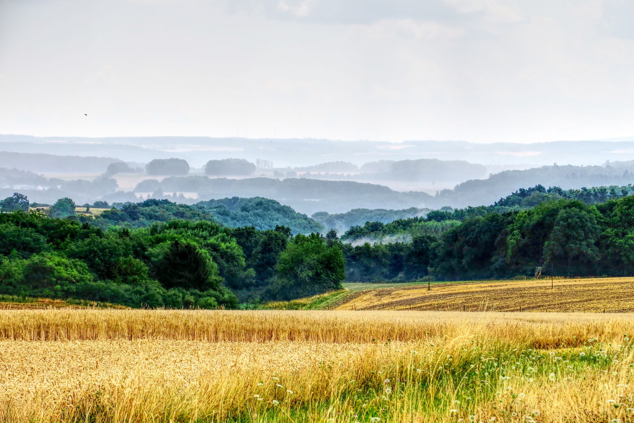
Waterfall hiking trails in the Vulkaneifel traverse a landscape shaped by its volcanic past, featuring over 350 eruption centers. The region is characterized by unique geological formations, including Maare (volcanic crater lakes), deep forests, and hilly terrain. Hikers can explore diverse environments, from river valleys to areas with basalt rock formations.
Best waterfall hiking trails in the Vulkaneifel
- The most popular waterfall hiking route is Dreimühlen Waterfall – Rock face at Nohner Mühle loop from Üxheim, an easy 4.0 miles (6.3 km) trail that takes 1 hour 43 minutes to complete. This route offers views of the unique Dreimühlen Waterfall.
- Another top favourite among local hikers is Kerpen Castle (Eifel) – Dreimühlen Waterfall loop from Kerpen, a moderate 10.5 miles (16.9 km) path. This trail combines historical sites with natural waterfall scenery.
- Local hikers also love the Dreimühlen Waterfall – Kerpen Castle loop from Kerpen, a 6.3 miles (10.2 km) trail leading through varied terrain, often completed in about 2 hours 46 minutes.
- Hiking in the Vulkaneifel is defined by volcanic landscapes, Maare, and dense woodlands. The extensive network of trails offers options for different ability levels, from easy walks to more challenging routes.
- The routes in Vulkaneifel are highly rated by the komoot community with an average score of 4.5 stars from over 34000 reviews. More than 125000 hikers have used komoot to explore Vulkaneifel's varied terrain.
Last updated: August 23, 2026
4.7
(1108)
3,391
hikers
10.2km
02:48
160m
160m
Moderate hike. Good fitness required. Easily-accessible paths. Suitable for all skill levels.
4.5
(365)
1,174
hikers
6.34km
01:44
90m
90m
Easy hike. Great for any fitness level. Easily-accessible paths. Suitable for all skill levels.

Sign up for free
4.7
(144)
494
hikers
16.0km
04:32
350m
350m
Moderate hike. Good fitness required. Easily-accessible paths. Suitable for all skill levels.
4.7
(906)
2,628
hikers
10.2km
02:46
150m
150m
Moderate hike. Good fitness required. Easily-accessible paths. Suitable for all skill levels.
4.4
(51)
200
hikers
13.3km
03:41
230m
230m
Moderate hike. Good fitness required. Easily-accessible paths. Suitable for all skill levels.
Get access to more routes and recommendations from other explorers.
Sign up for free
Already have an account?
Our route recommendations are based on thousands of hikes, rides, and runs completed by other people on komoot.
Start today with a free account
Your next adventure awaits.
Login or Signup
Popular around Vulkaneifel
Waterfall hikes around Üxheim
Waterfall hikes around Pulvermaar
Waterfall hikes in Lampertstal Und Alendorfer Kalktriften Und Mit Fuhrbach Und Mackental
Waterfall hikes around Kerpen (Eifel)
Waterfall hikes around Nohn
Lieserpfad between the Eifel and the Moselle rivers – Wild forests, wild water
Scenic Trails to Natural Swimming Spots
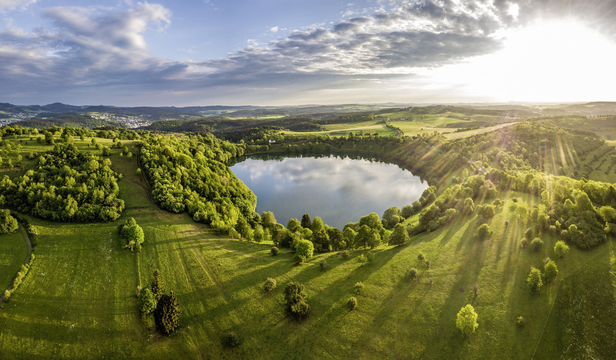
Germany’s Most Beautiful Hiking Trails in the Vulkaneifel
The National Natural Landscapes in Rheinland-Pfalz

#GoFurther – discover the views of Germany!
Other adventures in the Vulkaneifel


Tips from the Community


The juniper heath on the Hönselberg is a nature reserve of around 48 hectares in the Vulkaneifel near Üxheim-Niederehe (Rhineland-Palatinate). The 570-meter-high mountain is known regionally for its impressive biodiversity and its spectacular orchid flora. Besides the juniper, which gives it its name, numerous rare orchid species grow here, such as the Pyramidal Orchid, the Butterfly Orchid, or the Bee Orchid. Endangered species such as the Common Cudweed and the Pasqueflower also occur in large numbers.
0
0

Rare orchid to discover, like the pyramidal orchid
0
0

A little north of the two villages of Walsdorf and Zilsdorf is a highlight that every visitor to the Eifel with at least a little geological interest should have on their wish list: The Arensberg volcano. Since this is created separately (and unfortunately, multiple times in the komoot system), here is only the access, a tunnel of non-natural origin. A covered passage has been created to protect visitors from possible falling rocks.
2
0
All hikers on this forest path are welcome to take the following lines by the writer O. W. Ullmann with them: „Wandern, das heißt vorwärtsstreben, frohen Muts nach Zielen gehen, aus dem Alltag sich erheben und in lichte Fernen sehen, Widrigkeiten überwinden, stark und frei zur Höhe finden und Vollbringerstolz erleben: Wandern, das heißt vorwärtsstreben.“
0
0
From large stone blocks, a barrier has been erected around the area - for good reason - signs indicate a prohibition of entry, which should absolutely be observed for your own safety. Partially, fossil inclusions are recognizable in the stone blocks from the hiking trail.
0
0
Frequently Asked Questions
How many waterfall hiking trails are available in the Vulkaneifel region?
The Vulkaneifel region offers a wide selection of waterfall hiking trails, with over 60 routes specifically featuring waterfalls. These trails cater to various fitness levels, from easy strolls to more challenging hikes.
What is the best time of year to experience the waterfalls in Vulkaneifel?
The waterfalls in Vulkaneifel, particularly the unique Dreimühlen Waterfall, are captivating year-round. Spring offers lush greenery and increased water flow from snowmelt, while autumn provides stunning foliage. Even in winter, the frozen landscapes around the waterfalls can be quite magical, though trail conditions may vary.
Are there any easy waterfall hikes suitable for beginners or families?
Yes, there are several easy waterfall hikes. For a gentle introduction, consider the Dreimühlen Waterfall – Rock face at Nohner Mühle loop from Nohn, which is just 1.4 miles (2.2 km) long. Another accessible option is the Dreimühlen Waterfall – Rock face at Nohner Mühle loop from Üxheim, an easy 4.0 miles (6.3 km) trail.
What kind of natural features can I expect to see along waterfall trails in Vulkaneifel?
Beyond the waterfalls themselves, Vulkaneifel's volcanic past means you'll encounter diverse landscapes. Expect to see unique geological formations like Maare (volcanic crater lakes), deep forests, hilly terrain, and areas with distinctive basalt rock formations. The region is also known for its idyllic streams and river valleys.
Are there any circular routes that include waterfalls?
Many waterfall trails in Vulkaneifel are designed as circular routes, allowing you to start and end at the same point. For example, the Dreimühlen Waterfall – Kerpen Castle loop from Kerpen is a moderate 6.3 miles (10.2 km) circular trail that combines natural beauty with historical sites.
What do other hikers say about the waterfall trails in Vulkaneifel?
The waterfall trails in Vulkaneifel are highly regarded by the komoot community, boasting an average rating of 4.5 stars from over 34,000 reviews. Hikers frequently praise the unique volcanic landscapes, the well-maintained paths, and the captivating beauty of the Dreimühlen Waterfall.
Are there any historical sites or landmarks near the waterfall hiking trails?
Yes, several trails combine natural beauty with historical interest. The Kerpen Castle (Eifel) – Dreimühlen Waterfall loop from Kerpen is a moderate 10.5 miles (16.9 km) path that allows you to explore the historic Kerpen Castle alongside the waterfall scenery. You might also encounter other remnants of the region's rich history.
Can I bring my dog on the waterfall hiking trails?
Generally, dogs are welcome on most hiking trails in the Vulkaneifel. However, it's always advisable to keep them on a leash, especially in nature reserves or areas with livestock, and to check specific trail regulations before you go. Ensure you carry water for your pet and clean up after them.
Are there any challenging waterfall hikes for experienced hikers?
For those seeking a more demanding experience, the Vulkaneifel offers challenging routes. The Kerpen Castle – Dreimühlen Waterfall loop from Nohn is a difficult 12.7 miles (20.4 km) trail with significant elevation changes, perfect for experienced hikers looking for a longer adventure.
What other attractions can I explore near the waterfall trails?
The Vulkaneifel is rich in natural and historical attractions. Near the waterfall trails, you can explore fascinating caves such as the Buchenloch Cave or the Birresborn Ice Caves. These offer a glimpse into the region's geological past and unique formations.
Is the Dreimühlen Waterfall a natural formation?
The Dreimühlen Waterfall is a unique and captivating formation, often described as 'growing.' While it appears natural, it is actually an artificial waterfall that has developed over time due to limestone deposits from three mineral springs. This ongoing process creates its distinctive appearance.
How can I find parking near the waterfall hiking trails?
Many popular trailheads for waterfall hikes in the Vulkaneifel, especially those leading to the Dreimühlen Waterfall, have designated parking areas. It's recommended to check the starting point of your chosen komoot tour for specific parking information, as details can vary by location.
Most popular routes in the Vulkaneifel
Most popular attractions in the Vulkaneifel

Get inspired with the komoot mobile app


Didn’t find what you were looking for?
Check out more Hikes throughout Vulkaneifel below and find the perfect route in your destination.
Explore more
Browse the best Hikes in other regions.
