The best hikes from bus stations in Gran Canaria
4.3
(36823)
169,606
hikers
1,355
hikes
Bus station hiking trails in Gran Canaria traverse a diverse landscape, often referred to as a "Miniature Continent." The island features varied terrain, from volcanic mountains and deep ravines to extensive pine forests and rugged coastlines. Hikers can explore a range of environments, including arid areas, lush laurel forests, and impressive volcanic craters. This geographical variety provides a wide array of hiking experiences accessible via public transport.
Best bus station hiking trails in Gran Canaria
- The most popular bus station…
Last updated: August 20, 2026
4.7
(223)
589
hikers
5.31km
01:53
240m
240m
Hard hike. Great for any fitness level. Sure-footedness, sturdy shoes and alpine experience required.
4.7
(98)
430
hikers
14.7km
03:54
150m
150m
Moderate hike. Good fitness required. Easily-accessible paths. Suitable for all skill levels.

Sign up for free
4.7
(935)
3,767
hikers
5.74km
02:00
210m
210m
Moderate hike. Great for any fitness level. Mostly accessible paths. Sure-footedness required.
4.7
(1077)
4,272
hikers
5.75km
02:04
250m
250m
Moderate hike. Good fitness required. Mostly accessible paths. Sure-footedness required.
4.5
(547)
1,784
hikers
10.4km
03:04
300m
300m
Moderate hike. Good fitness required. Easily-accessible paths. Suitable for all skill levels.
Get access to more routes and recommendations from other explorers.
Sign up for free
Already have an account?
Our route recommendations are based on thousands of hikes, rides, and runs completed by other people on komoot.
Start today with a free account
Your next adventure awaits.
Login or Signup
Popular around Gran Canaria
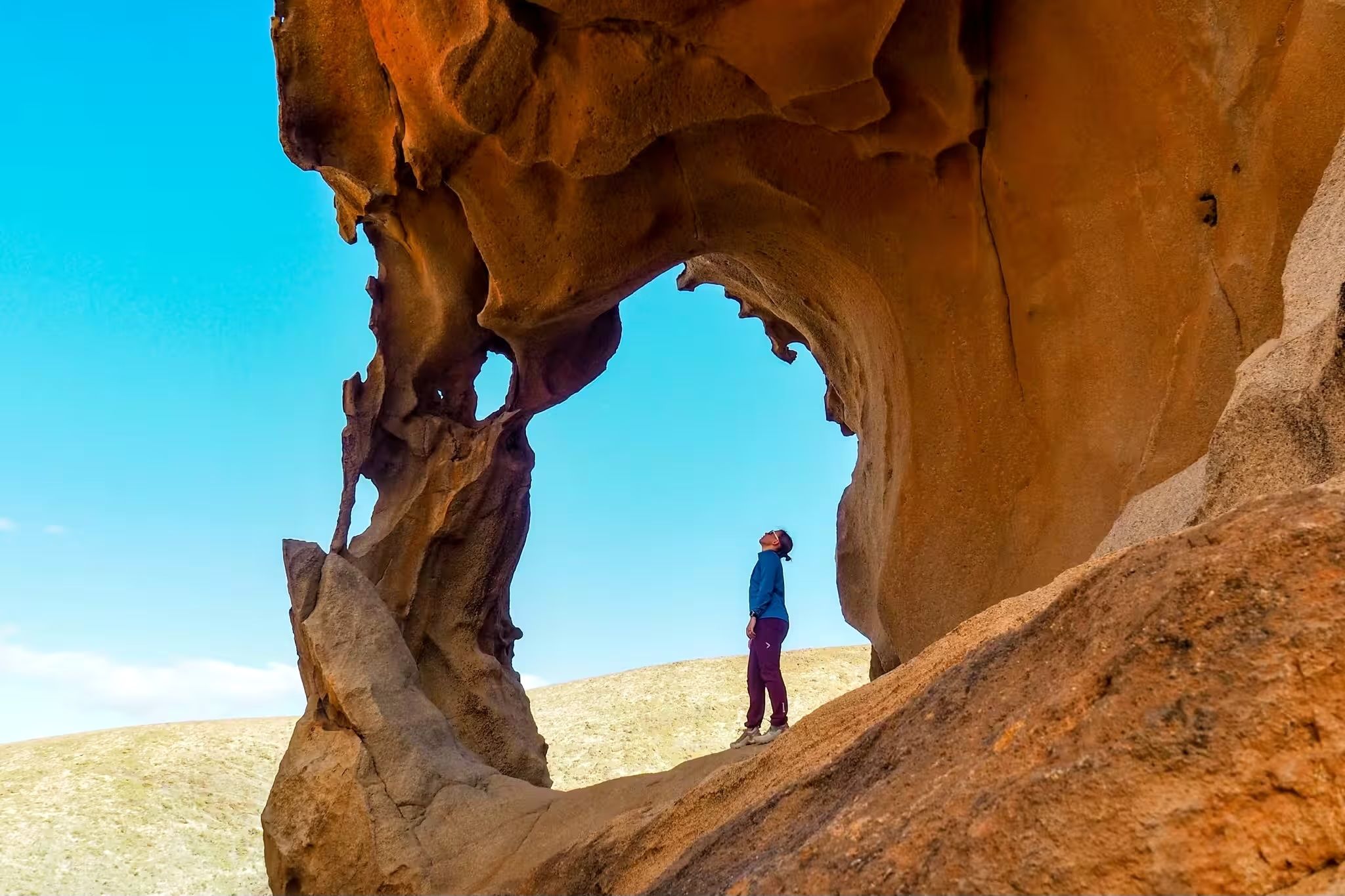
Canary Islands at a slow pace – six hikes immersed in nature
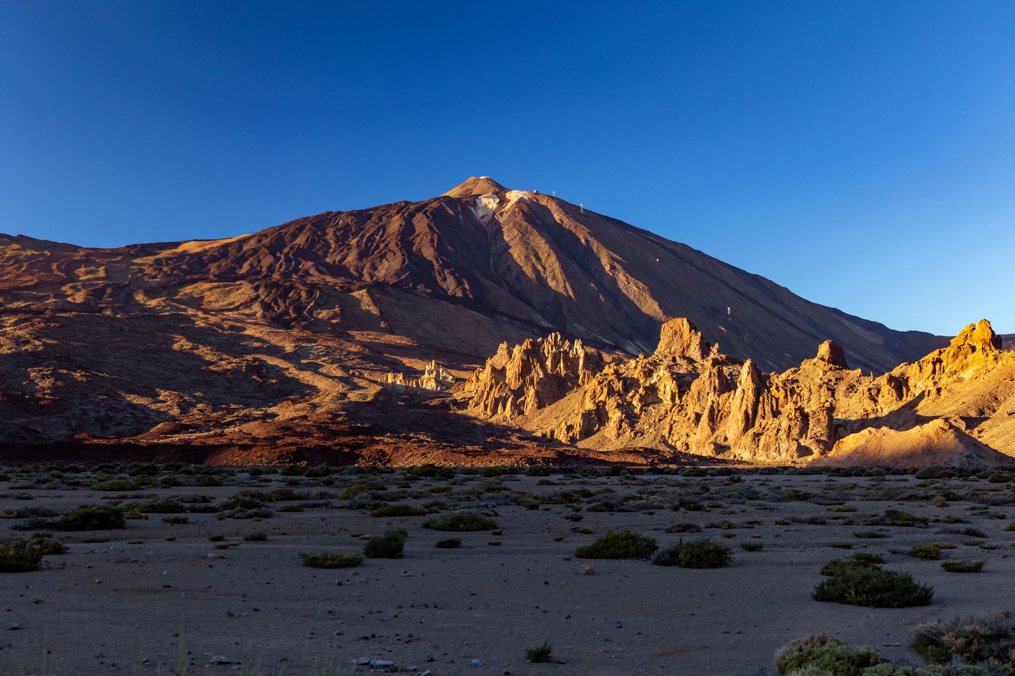
Six fascinating ways to discover the Canary Islands on foot
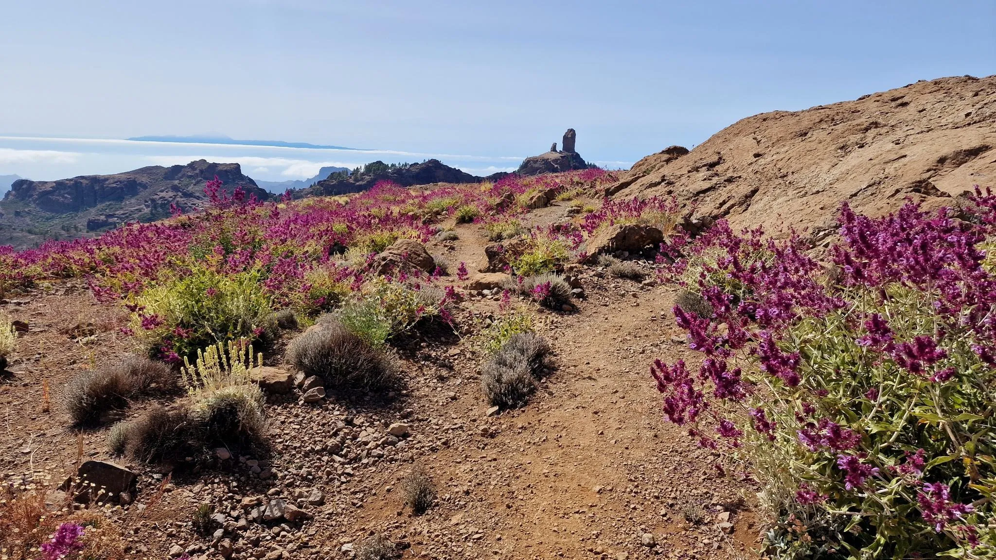
An island of contrasts – crossing Gran Canaria
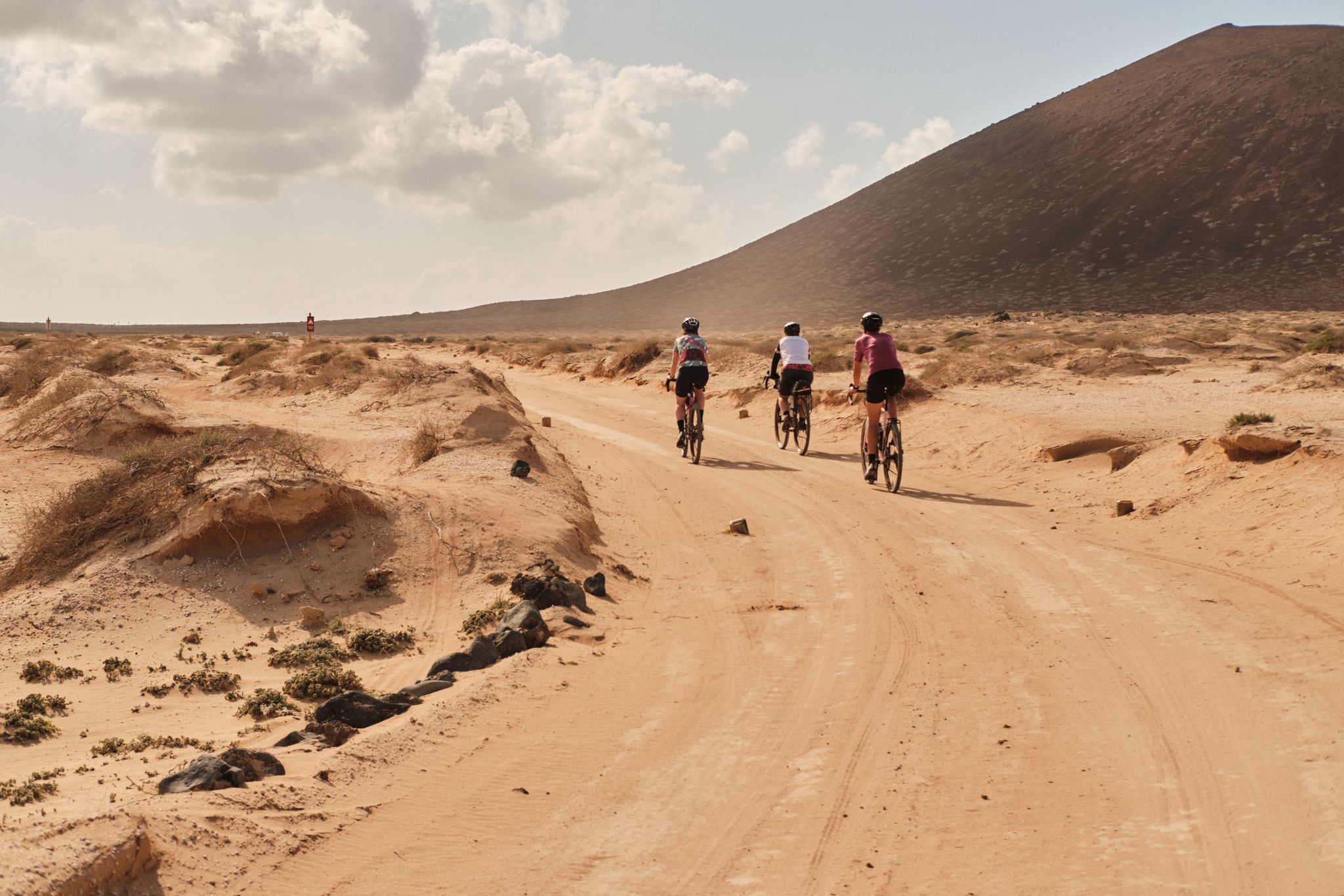
GranGuanche gravel – Komoot women's rally 2023
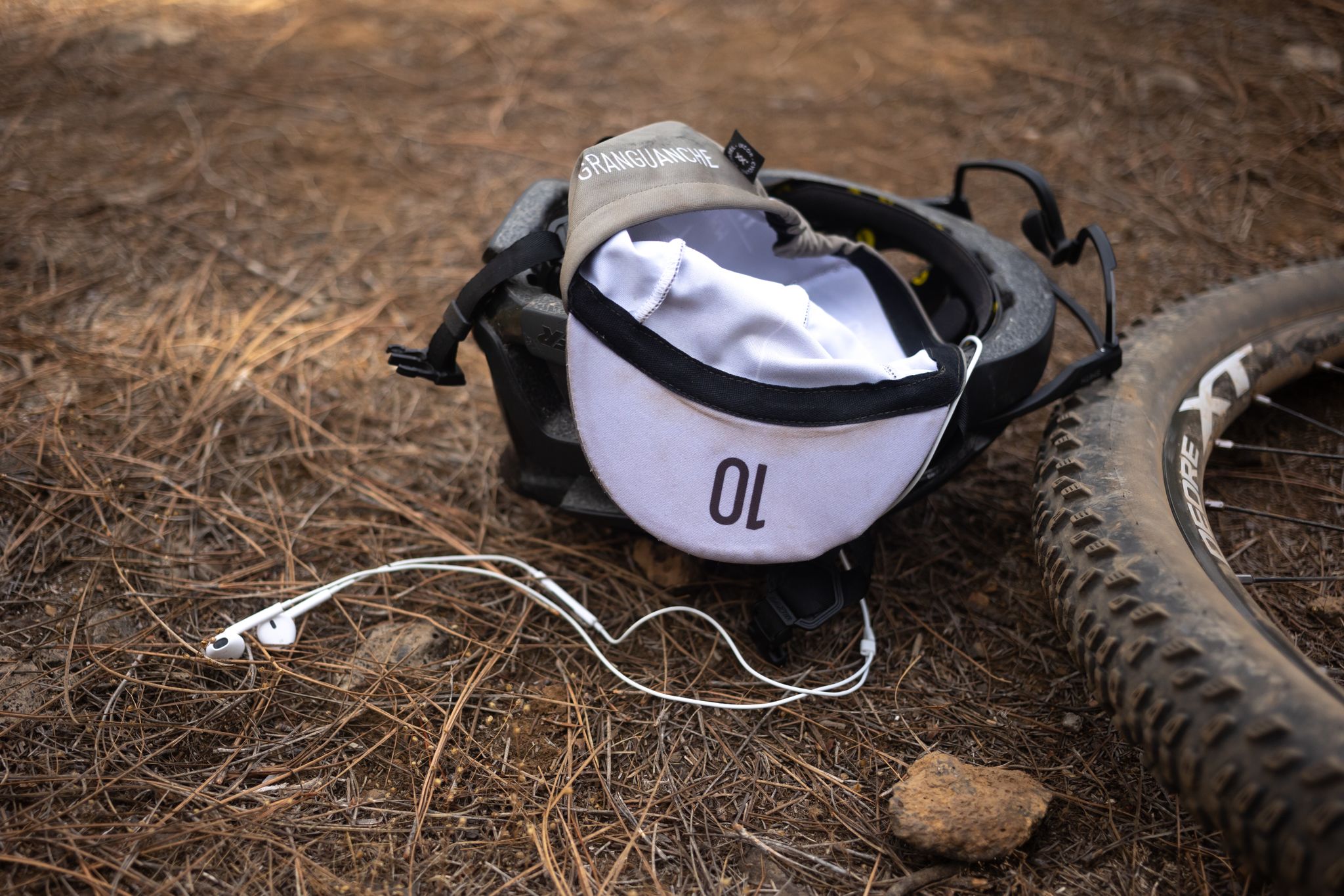
GranGuanche Audax Trail – my first ultra race on the Canary Islands
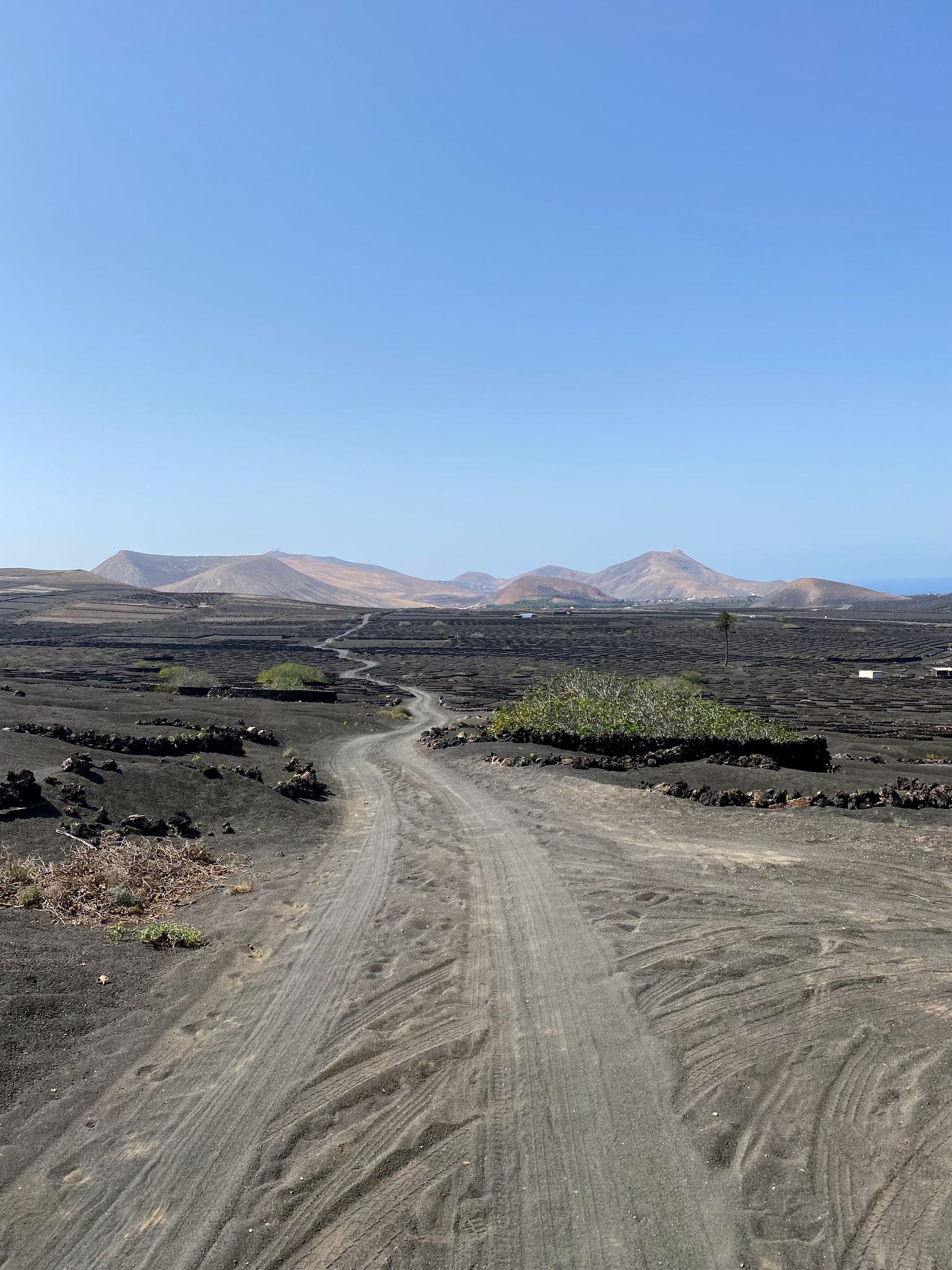
Bikepack in the Canary Islands – surprising adventures in the sun

Trail on the Canary Islands – discover the legendary races!
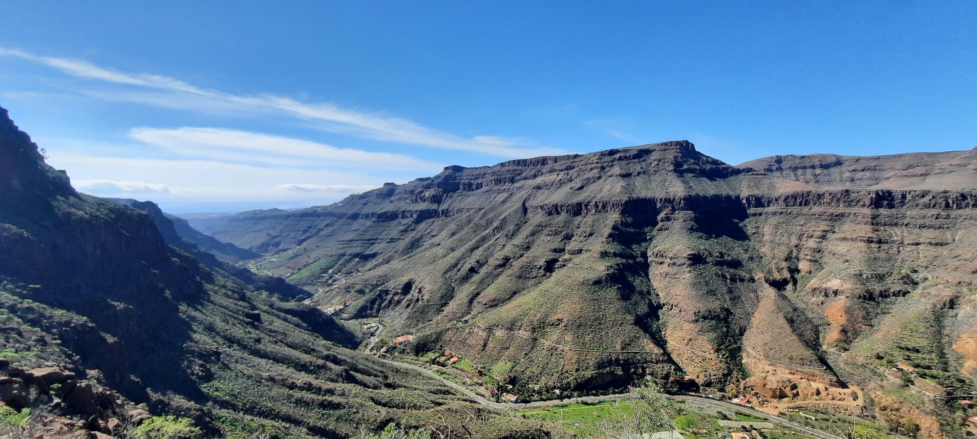
The challenge of the year — Transgrancanaria Classic
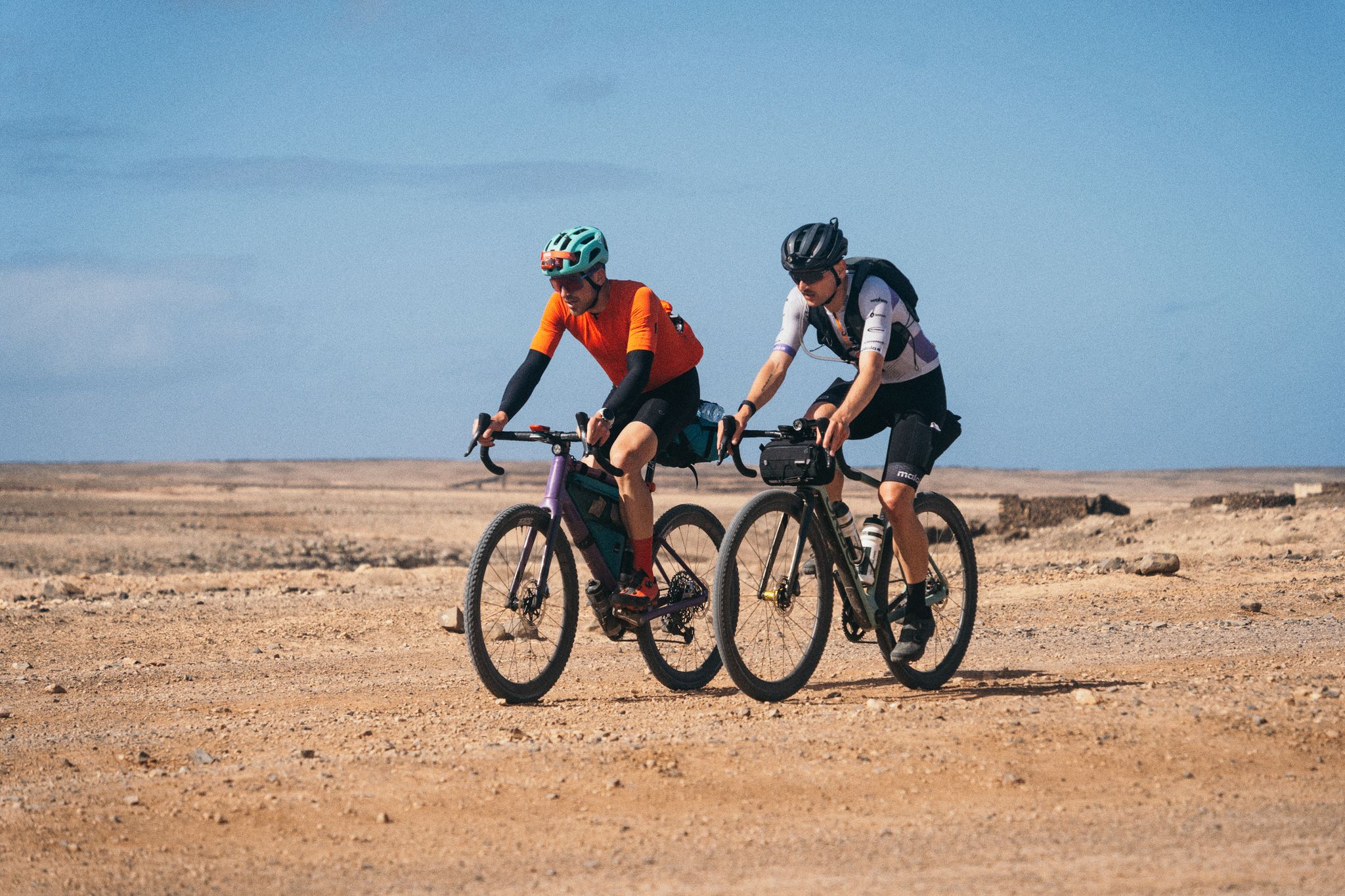
GranGuanche Audax Gravel — five islands in two and a half days
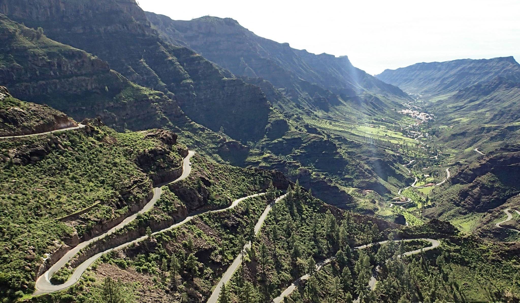
Escape to the south — road cycling in Gran Canaria
Other adventures in Gran Canaria


Tips from the Community

From here you have a beautiful view into the volcanic crater.
0
0
With well-profiled shoes, the ridge path presents no problems whatsoever.
1
0
The photos make it look worse than it is in reality. The ridge path is sufficiently wide and easy to walk for everyone with solid, well-profiled shoes.
0
0
Easy to walk with well-profiled shoes.
0
0

From here you have a great view of the mountains.
1
0
Rocky hiking trail to the Fortaleza. Sturdy footwear definitely makes sense here.
0
0
From here you have a beautiful view of the Presa de Tirajana
0
0
From here we have a beautiful view of the surrounding fields and the mountains in the background.
1
0
Frequently Asked Questions
How many bus-accessible hiking trails are there in Gran Canaria?
Gran Canaria offers a vast network of hiking trails accessible by bus. Our guide features nearly 1300 routes, with over 500 considered easy, almost 600 moderate, and around 180 challenging, ensuring options for every fitness level.
What kind of landscapes can I expect on bus-accessible hikes in Gran Canaria?
Gran Canaria, often called a 'Miniature Continent,' boasts incredible diversity. You can hike through volcanic terrain with impressive craters and rock formations, explore lush Canary Island pine forests, traverse rugged coastlines and deep ravines like the Barranco de los Cernícalos, or even experience desert-like areas near the Maspalomas Dunes. Some trails also lead through dense laurel forests, offering a stark contrast to the more arid regions.
Are there any circular hiking routes accessible by bus in Gran Canaria?
Yes, many bus-accessible routes in Gran Canaria are circular, allowing you to start and end at the same point, often near a bus stop. An example is the Doramas Rural Park - Azuaje Ravine loop, which takes you through varied landscapes. Another option is the View of Pico de Bandama – Bandama Ridge Trail loop from Pico de Bandama, offering panoramic views of the caldera.
What are some notable natural attractions I can see on bus-accessible hikes?
Many bus-accessible trails lead to or offer views of Gran Canaria's iconic natural monuments. You can hike towards the majestic Roque Nublo, a volcanic monolith, or reach the Pico de las Nieves summit for breathtaking island views. The impressive Bandama Caldera also features accessible trails around its rim. In the south, the Maspalomas Dunes offer a unique walking experience.
What is the best time of year for bus-accessible hiking in Gran Canaria?
Gran Canaria's temperate climate makes it suitable for hiking year-round. However, the period between October and April is particularly pleasant, with milder temperatures ideal for exploring. During these months, trails like those in the Barranco de los Cernícalos are especially vibrant, known for their streams and waterfalls. The almond trees in Tejeda also bloom beautifully in January and February.
Are there any easy bus-accessible hikes suitable for families?
Yes, there are numerous easy trails perfect for families. While specific family-friendly routes aren't listed here, many of the over 500 easy routes in Gran Canaria are suitable for all ages. Look for trails with minimal elevation gain and shorter distances. The Maspalomas Dunes offer a unique, relatively flat walking experience that can be enjoyable for families.
Can I find challenging hikes that are reachable by bus?
Absolutely. Gran Canaria offers around 180 difficult routes, many of which are accessible by public transport. These trails often involve significant elevation changes and rugged terrain, providing a rewarding experience for experienced hikers. The Doramas Rural Park - Azuaje Ravine loop is an example of a challenging route that can be reached by bus.
What do other hikers say about the bus-accessible trails in Gran Canaria?
The komoot community highly rates the hiking experience in Gran Canaria, with an average score of 4.3 out of 5 stars from over 32,000 ratings. Hikers frequently praise the island's diverse landscapes, from volcanic peaks to lush ravines, and the accessibility of many trails via public transport, making it easy to explore without a car.
Are there any long-distance bus-accessible trails for a full day of hiking?
Yes, Gran Canaria has longer routes that can fill a full day. For instance, the La Isleta Peninsula and Las Canteras Beach Trail is a moderate 14.6 km route that offers coastal views and urban exploration, easily reachable by bus in Las Palmas. Another option is The Cave – La Fortaleza de Ansite loop from Santa Lucía de Tirajana, a 10.6 km moderate hike.
Are there any specific trails known for waterfalls or lush greenery accessible by bus?
Yes, the Barranco de los Cernícalos is particularly known for its lush greenery, streams, and beautiful waterfalls, especially vibrant between October and April. While not explicitly listed as a bus-accessible route here, many local bus services can get you close to the starting points of trails in such ravines. The Barranco de Azuaje also offers a simple trail through a verdant nature reserve.
Can I find trails that offer views of the ocean or neighboring islands?
Definitely. Many trails, especially those in the northwest like within Tamadaba Natural Park, offer stunning views of the Atlantic Ocean and, on clear days, even Mount Teide on the neighboring island of Tenerife. Hikes around the Pico de las Nieves summit also provide expansive panoramic vistas that can extend to the sea and other islands.
Most popular routes in Gran Canaria
Most popular attractions in Gran Canaria

Get inspired with the komoot mobile app


Explore more
Browse the best Hikes in other regions.
