The best traffic-free bike rides in Weston Pond Recreation Area
3.0
(1)
9
riders
3
rides
Weston Pond Recreation Area gravel bike trails no traffic traverse a landscape characterized by extensive conservation lands and varied terrain, offering diverse unpaved cycling opportunities. The region features dirt, gravel, and crushed stone surfaces, with significant portions running through forested wetlands, alongside brooks, streams, and ponds. The trail network includes sections of the Mass Central Rail Trail, providing relatively flat and accessible gravel options. This area offers a mix of terrain, from gentle paths to routes with elevation changes, suitable for gravel biking.
Best no traffic gravel bike trails in Weston Pond Recreation Area
- The most popular no traffic gravel bike trail is Upper Charles Trail – Ashland Reservoir Dam loop from Milford, a 29.4 miles (47.3 km) trail that takes 2 hours 46 minutes to complete. This moderate route follows a section of the Upper Charles Trail, offering a longer ride through varied natural surroundings.
- Another top favourite among local gravel bikers is Upper Charles Trail – Adams Street Conservation Land loop from Holliston, a moderate 19.5 miles (31.5 km) path. This route explores the Adams Street Conservation Land, featuring forested areas and open spaces typical of the region's protected lands.
- Local gravel bikers also love the Upper Charles Trail loop from Cedar Street Lot, a 14.0 miles (22.6 km) trail leading through conservation areas, often completed in about 1 hour 9 minutes. This easy loop provides an accessible option for a shorter gravel ride.
- Gravel biking in Weston Pond Recreation Area is defined by conservation lands, forested wetlands, and sections of rail trail. The network offers options for different ability levels, from easy loops to more challenging routes with elevation changes.
- The routes in Weston Pond Recreation Area are highly rated by the komoot community with an average score of 3.0 stars from 1 review. More than 8 gravel bikers have used komoot to explore Weston Pond Recreation Area's varied terrain.
Last updated: July 9, 2026
3.0
(1)
2
riders
47.3km
02:46
310m
310m
Moderate gravel ride. Good fitness required. Mostly paved surfaces. Suitable for all skill levels.
2
riders
31.5km
02:03
280m
280m
Moderate gravel ride. Good fitness required. Mostly paved surfaces. Suitable for all skill levels.

Sign up for free
5
riders
22.6km
01:09
100m
100m
Easy gravel ride. Great for any fitness level. Mostly paved surfaces. Suitable for all skill levels.
Our route recommendations are based on thousands of hikes, rides, and runs completed by other people on komoot.
Start today with a free account
Your next adventure awaits.
Login or Signup
Popular around Weston Pond Recreation Area
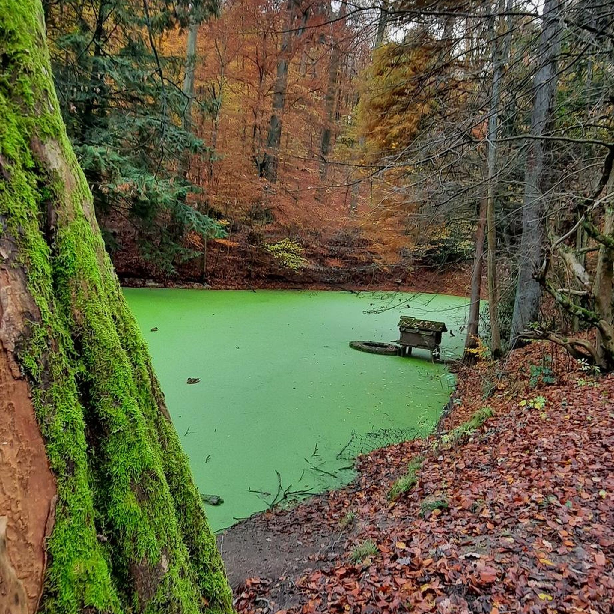
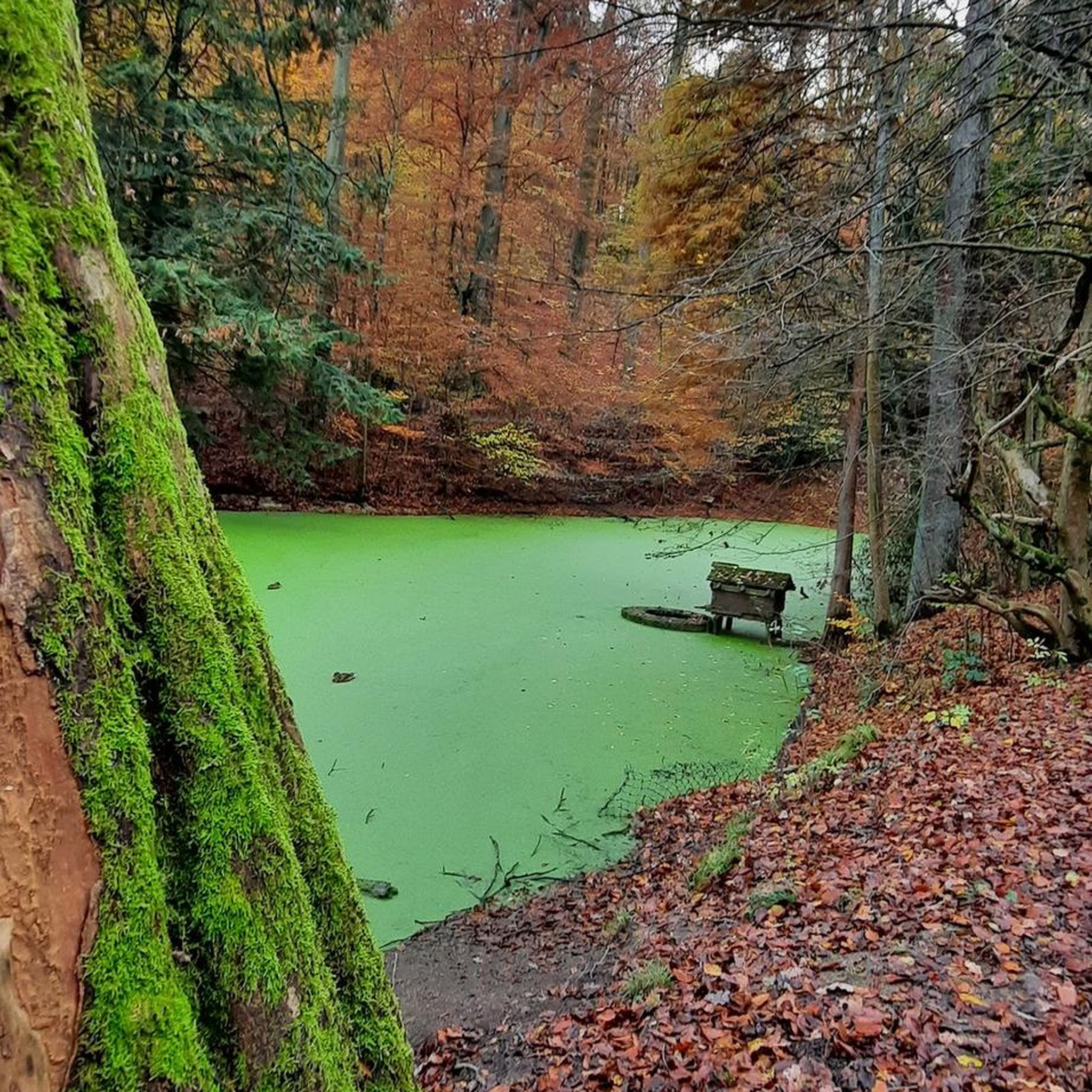
Tips from the Community

The entire northern border of the lake consists of the Ashland Reservoir Dam. It controls the flow of Cold Spring Brook into the lake, and you can even hike across the dam on the wide, dirt trail.
0
0

Here is the beginning of The Adams Street Conservation Land. The property has 1.5 miles of public trails and it is owned by the Town of Holliston Conservation Commission. It is 71 acres and was purchased on 2008.
0
0

There is a bit of everything here at Louisa Lake. It is a very scenic area and along with nearby Milford Pond, it provides a great venue for a variety of recreational activities, especially bicycling. Nearby is the Upper Charles Trail, a super good cycling trail.
0
0

There is a great network of trails in this area, which connect with the adjacent parks, such as Adams Street Conservation Park. The trails can be fairly technical, so wide tires or a mountain bike are recommended. Be sure to check signs for the difficulty levels.
0
0

The views of the reservoir from this road are lovely, and particularly so in the warmer months with the green leaves of the trees. Ashland State Park, located in Ashland, Massachusetts, encompasses the Ashland Reservoir, spanning 157 acres (64 hectares). This public recreation area offers a scenic and inviting environment for outdoor activities.
0
0
The Upper Charles Trail in Massachusetts offers cyclists a scenic route through historic mill towns, verdant woodlands, and along the Charles River. This multi-use trail spans diverse landscapes, showcasing the region's industrial heritage.
0
0

Louisa Lake offers a scenic haven for non-motor boating, fresh water fishing, and various recreational activities like bicycling, walking, and running.
0
0
Town Forest is a forested recreation area in the quaint town of Milford. It should not be mixed up with its nearby namesake Town Forest Nature Reserve. Town Forest recreation area is situated near to the two cemeteries of North Purchase Street Cemetery and Pine Grove Cemetery. You can hike and run here but as far as cycling is concerned you can cycle through it on the Upper Charles Trail.
0
0
Frequently Asked Questions
How many no-traffic gravel bike trails are available in Weston Pond Recreation Area?
While the Weston Pond Recreation Area itself is a hub for outdoor activities, the broader Weston area, known for its extensive conservation lands, offers a diverse network of trails. This guide features three specific no-traffic gravel bike routes, ranging from easy to moderate difficulty, that allow you to explore the region's natural beauty.
What is the best time of year to go gravel biking in Weston Pond Recreation Area?
Weston's trails are enjoyable year-round, but spring and fall offer the most pleasant conditions for gravel biking, with mild temperatures and vibrant foliage. Summer can be warm, but the shaded, sylvan nature of many trails provides relief. Winter biking is possible, but be prepared for snow and ice, especially on less-maintained paths.
Are there any easy gravel bike trails suitable for beginners or families?
Yes, there is an easy route perfect for beginners or families looking for a relaxed ride. The Upper Charles Trail loop from Cedar Street Lot is 22.5 km long with minimal elevation gain, offering a gentle introduction to gravel biking in the area.
Where can I find parking for gravel bike trails in Weston Pond Recreation Area?
Parking is generally available at various trailheads and conservation areas throughout Weston. For specific routes, check the tour details on komoot. The region's commitment to open space means many access points are designed with visitor convenience in mind. For more detailed information on conservation lands and potential parking areas, you can consult the Weston Conservation Lands & Trails website.
What kind of terrain can I expect on the gravel bike trails?
The gravel bike trails in Weston Pond Recreation Area and the surrounding conservation lands feature a mix of surfaces, including dirt, gravel, and crushed stone. You'll encounter varied terrain, from relatively flat sections, such as parts of the Mass Central Rail Trail, to more challenging areas with elevation changes, especially around spots like Doublet Hill.
Are dogs allowed on the gravel bike trails?
Many of Weston's conservation lands and trails are dog-friendly, but it's always best to check specific regulations for each area. Generally, dogs are welcome if kept on a leash and owners practice responsible pet waste removal. Always respect signage and local guidelines.
What natural features or points of interest can I see while gravel biking?
Weston's trails wind through a beautiful sylvan landscape, offering views of forested wetlands, brooks, streams, and vernal pools. You might encounter picturesque spots like Hemlock Pond and College Pond. Areas like Cat Rock Park offer diverse scenery with meadows, pine woods, and a hill with vistas towards Waltham. For a more challenging climb, Doublet Hill provides rewarding views, even of downtown Boston on a clear day.
Are there any longer or more challenging gravel bike routes for experienced riders?
Yes, for experienced riders seeking a longer and moderately challenging ride, consider the Upper Charles Trail – Ashland Reservoir Dam loop from Milford, which covers 47.3 km with over 300 meters of elevation gain. Another option is the Upper Charles Trail – Adams Street Conservation Land loop from Holliston, a 31.4 km route with similar elevation.
Can I access these trails using public transport?
While Weston is primarily accessed by car, some MBTA commuter rail stations are located in nearby towns, such as Waltham or Wellesley. From these stations, you would likely need to bike a connecting route or arrange for a short taxi/rideshare to reach specific trailheads within Weston. Planning your route in advance using a mapping tool is recommended.
What do other gravel bikers enjoy most about the trails in Weston Pond Recreation Area?
The komoot community rates the experience in this area with an average score of 3.0 stars. Riders often praise the quiet, natural environment, the well-maintained gravel surfaces, and the opportunity to explore extensive conservation lands away from traffic. The variety of terrain and scenic beauty are frequently highlighted.
Are there any circular gravel bike routes available?
Yes, all three featured routes in this guide are circular, allowing you to start and end at the same point. For example, the Upper Charles Trail loop from Cedar Street Lot is a great easy circular option, while the Upper Charles Trail – Ashland Reservoir Dam loop from Milford offers a longer, moderate circular ride.
Where can I find maps of the conservation lands and trails in Weston?
The town of Weston provides detailed maps of its extensive conservation lands and trail networks. You can find these resources on the official Weston town website's maps section, which can be very helpful for planning your gravel biking adventures.
Most popular routes in Weston Pond Recreation Area

Get inspired with the komoot mobile app


Explore more
Browse the best Gravel rides in other regions.
