The best road cycling routes in Weston Pond Recreation Area
4.6
(9)
209
riders
59
rides
Road cycling in Weston Pond Recreation Area offers access to a network of scenic roads and extensive conservation lands within Weston, Massachusetts. The region features diverse natural environments, including forests, open meadows, and tranquil ponds, providing varied backdrops for rides. While specific paved cycling paths are limited within the immediate recreation area, the surrounding town boasts 51.7 miles of marked bike lanes and connects to broader regional cycling routes. The terrain generally includes rolling hills and well-paved surfaces, suitable for…
Last updated: August 22, 2026
5.0
(1)
28
riders
23.0km
00:57
100m
100m
Moderate road ride. Great for any fitness level. Some segments of this route may be unpaved and difficult to ride.
5
riders
43.7km
01:50
270m
270m
Easy road ride. Great for any fitness level. Mostly well-paved surfaces and easy to ride.

Sign up for free
1
riders
15.5km
00:40
90m
90m
Embark on an easy road cycling journey along the Upper Charles Trail, a 9.6 miles (15.5 km) route that promises a pleasant 40-minute ride. You'll experience a gentle elevation gain…
6
riders
52.7km
02:35
340m
340m
Moderate road ride. Good fitness required. Some segments of this route may be unpaved and difficult to ride.
10
riders
52.3km
02:15
420m
420m
Moderate road ride. Good fitness required. Mostly well-paved surfaces and easy to ride.
Get access to more routes and recommendations from other explorers.
Sign up for free
Already have an account?
Our route recommendations are based on thousands of hikes, rides, and runs completed by other people on komoot.
Start today with a free account
Your next adventure awaits.
Login or Signup
Popular around Weston Pond Recreation Area

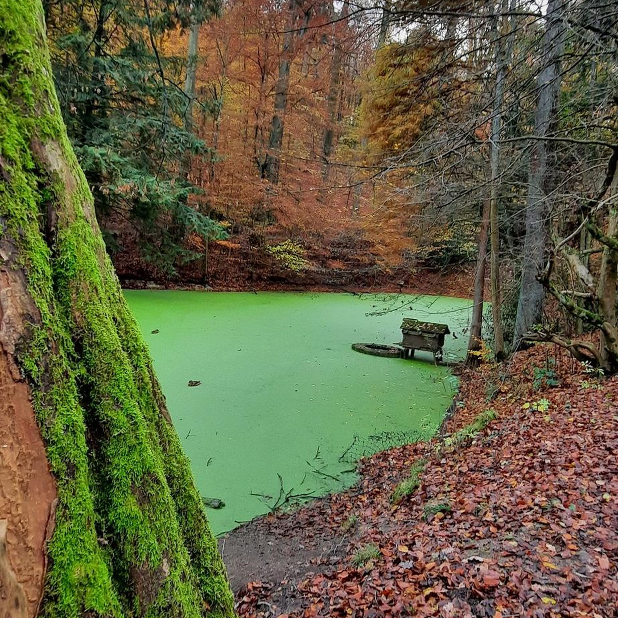

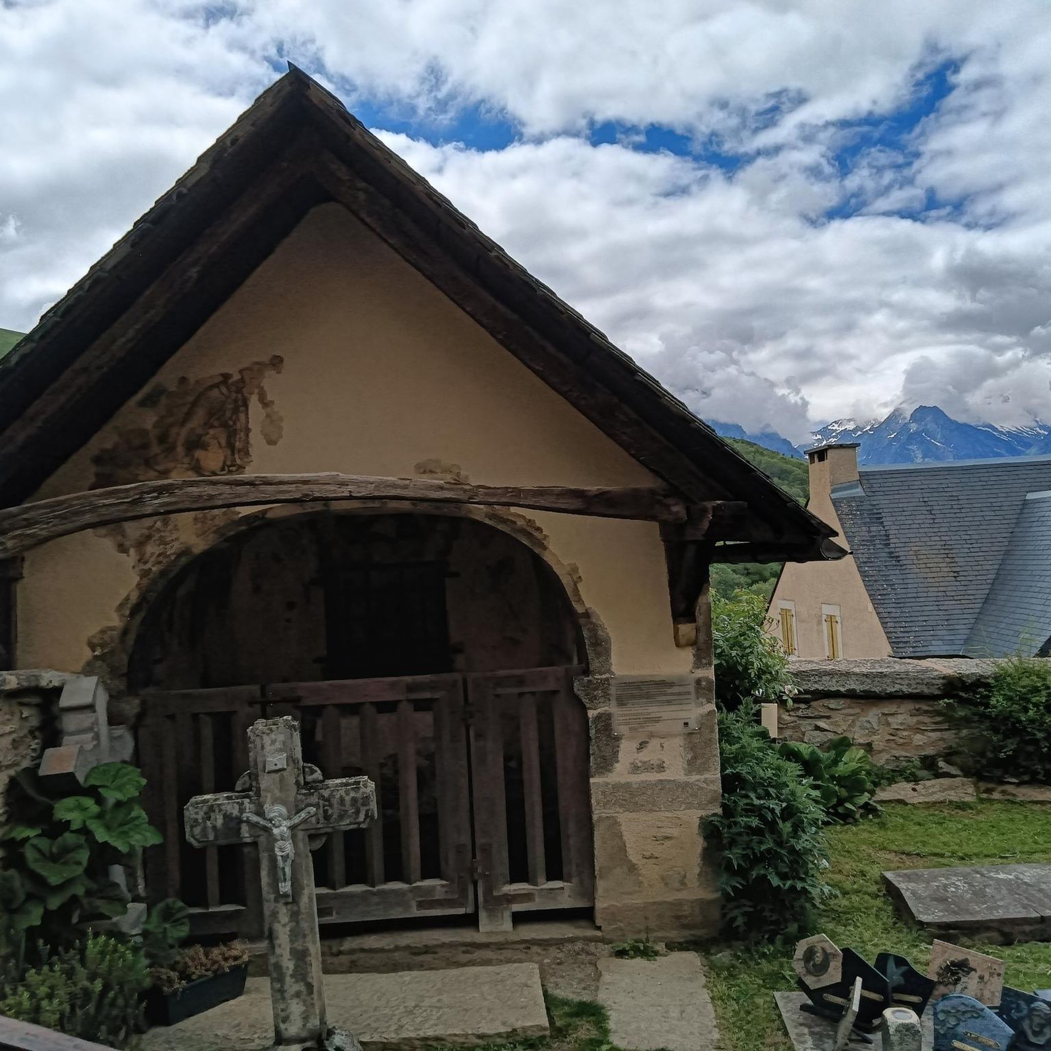
Tips from the Community

A local farm with a small shop and coffee service. The roads around are pretty quiet and the people are nice.
0
0

There is a bit of everything here at Louisa Lake. It is a very scenic area and along with nearby Milford Pond, it provides a great venue for a variety of recreational activities, especially bicycling. Nearby is the Upper Charles Trail, a super good cycling trail.
0
0

This 107-acre sanctuary, located adjacent to Bristol Blake State Reservation, features a one-mile trail that circles Stony Brook Pond and ends up at the site of a former mill, where there is a beautiful waterfall. A long boardwalk along the trail allows visitors to observe birds and wildlife, including turtles, ducks, blue herons, and the wetland habitat over Teal Marsh and Kingfisher Pond. The refuge also features natural history exhibits, a picnic area, and a butterfly garden
0
0
This 107-acre sanctuary, located adjacent to Bristol Blake State Reservation, features a one-mile trail that circles Stony Brook Pond and ends up at the site of a former mill, where there is a beautiful waterfall. A long boardwalk along the trail allows visitors to observe birds and wildlife, including turtles, ducks, blue herons, and the wetland habitat over Teal Marsh and Kingfisher Pond. The refuge also features natural history exhibits, a picnic area, and a butterfly garden.
0
0

The Upper Charles Trail in Massachusetts offers cyclists a scenic route through historic mill towns, verdant woodlands, and along the Charles River. This multi-use trail spans diverse landscapes, showcasing the region's industrial heritage.
0
0

Louisa Lake offers a scenic haven for non-motor boating, fresh water fishing, and various recreational activities like bicycling, walking, and running.
0
0

Cruising along Seekonk Street and South Street, you pass through beautiful lush green wetlands and over the Charles River. This area of land has been protected from development to store water in periods of heavy rain and prevent flooding further downstream.
1
0
Town Forest is a forested recreation area in the quaint town of Milford. It should not be mixed up with its nearby namesake Town Forest Nature Reserve. Town Forest recreation area is situated near to the two cemeteries of North Purchase Street Cemetery and Pine Grove Cemetery. You can hike and run here but as far as cycling is concerned you can cycle through it on the Upper Charles Trail.
0
0
Frequently Asked Questions
How many road cycling routes are available in the Weston Pond Recreation Area?
There are over 60 road cycling routes available in and around the Weston Pond Recreation Area, catering to various skill levels. You'll find a good mix of easy, moderate, and a few more challenging options to explore.
What kind of terrain can I expect when road cycling in Weston?
Weston's road cycling terrain generally features rolling hills and mostly well-paved surfaces. The area is known for its scenic roads and connections to broader regional cycling routes, offering a pleasant experience with varied elevation changes.
Are there any easy or beginner-friendly road cycling routes?
Yes, there are several easy routes suitable for beginners. For instance, the Mirror Lake Ave – Charles River Farms loop from K-Mart/Double Tree Hotel is an easy 27.4-mile path offering views of Mirror Lake and sections along the Charles River. Another easy option is the Upper Charles Trail, which is about 9.6 miles long.
What do other road cyclists enjoy most about the routes here?
The komoot community highly rates the road cycling experience in Weston Pond Recreation Area, with an average score of 4.4 stars from over 6 reviews. Cyclists often praise the scenic roads, the diverse natural features like forests and ponds, and the well-maintained paths that make for enjoyable rides.
Are there any notable landmarks or scenic viewpoints along the road cycling routes?
While specific viewpoints directly on paved cycling routes might vary, the broader Weston area offers several natural attractions. You can find vistas towards Waltham and Route 128 from areas like Cat Rock and 80 Acres, or even distant views of downtown Boston from Doublet Hill. Many routes will take you past tranquil ponds like College Pond and Hobbs Pond, and along sections of the Charles River.
Are there any circular road cycling routes in the area?
Yes, many of the routes are designed as loops. A popular moderate circular route is the Upper Charles Trail – Louisa Lake loop from Weston Pond Recreation Area, which is about 14.3 miles long. Another option is the Charles River Dam and Weir – Charles River loop from Wenakeening Woods, a moderate 28.3-mile ride.
Is Weston Pond Recreation Area suitable for family road cycling?
Weston offers 51.7 miles of marked bike lanes throughout the town, making it a welcoming community for cyclists of all ages. While the immediate Weston Pond Recreation Area is more focused on trails, the surrounding town's network of scenic and well-paved roads, including some easy loops, can be suitable for families looking for a pleasant ride.
Where can I find information about parking for road cycling in Weston?
Information on parking for road cycling is generally available through local town resources. For details on conservation lands and trails, which often include parking areas, you can refer to the official Weston website's Conservation Lands & Trails page.
What is the best time of year for road cycling in Weston Pond Recreation Area?
The spring, summer, and fall months generally offer the best conditions for road cycling in Weston. These seasons provide pleasant temperatures and vibrant natural scenery. While winter cycling is possible, be mindful of colder temperatures and potential icy conditions on roads.
Are there any specific rules or regulations for cycling in Weston's conservation areas?
Weston's extensive conservation lands, encompassing over 2,000 acres, primarily feature trails and fire roads. While some fire roads may be open to bicyclists, it's always best to check the specific rules for each area. You can find detailed information on land use rules and regulations on the town's official website: Conservation Land Use Rules & Regulations.
Can I connect to longer regional cycling routes from Weston?
Yes, Weston is well-connected to broader regional cycling routes. The town's network allows for longer excursions, such as rides connecting to the East Coast Greenway or even to nearby cities like Cambridge. The Bay Circuit Trail and the Mass Central Rail Trail also traverse Weston, offering opportunities for extended adventures.
Most popular routes in Weston Pond Recreation Area

Get inspired with the komoot mobile app


Explore more
Browse the best Road cycling routes in other regions.
