Cranborne Chase & West Wiltshire Downs AONB
Cranborne Chase & West Wiltshire Downs AONB
The best city hikes and walks in Cranborne Chase & West Wiltshire Downs AONB
4.6
(1100)
8,541
hikers
57
hikes
Urban hiking trails in Cranborne Chase & West Wiltshire Downs AONB traverse a landscape characterized by expansive chalk downland, ancient woodlands, and fertile river valleys. The region features smooth, rounded downs and steeply cut combes, offering varied topography. Greensand hills are also present around areas like Stourhead, contributing to the diverse terrain. This protected area provides a network of paths suitable for exploring both natural features and historic sites adjacent to urban centers.
Best urban hiking trails in Cranborne Chase…
Last updated: May 13, 2026
8
hikers
Easy hike. Great for any fitness level. Easily-accessible paths. Suitable for all skill levels.
5.0
(1)
4
hikers
Easy hike. Great for any fitness level. Easily-accessible paths. Suitable for all skill levels.

Sign up for free
7
hikers
Easy hike. Great for any fitness level. Easily-accessible paths. Suitable for all skill levels.
4.5
(2)
4
hikers
5.93km
01:32
30m
30m
Easy hike. Great for any fitness level. Easily-accessible paths. Suitable for all skill levels.
4
hikers
Easy hike. Great for any fitness level. Easily-accessible paths. Suitable for all skill levels.
Get access to more routes and recommendations from other explorers.
Sign up for free
Already have an account?
Our route recommendations are based on thousands of hikes, rides, and runs completed by other people on komoot.
Start today with a free account
Your next adventure awaits.
Login or Signup
Popular around Cranborne Chase & West Wiltshire Downs AONB
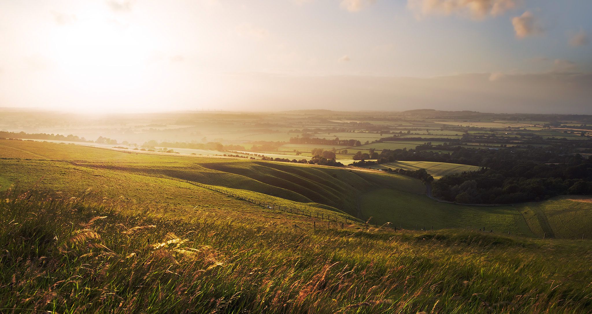
Hiking the Greater Ridgeway — Following Roman roads across England
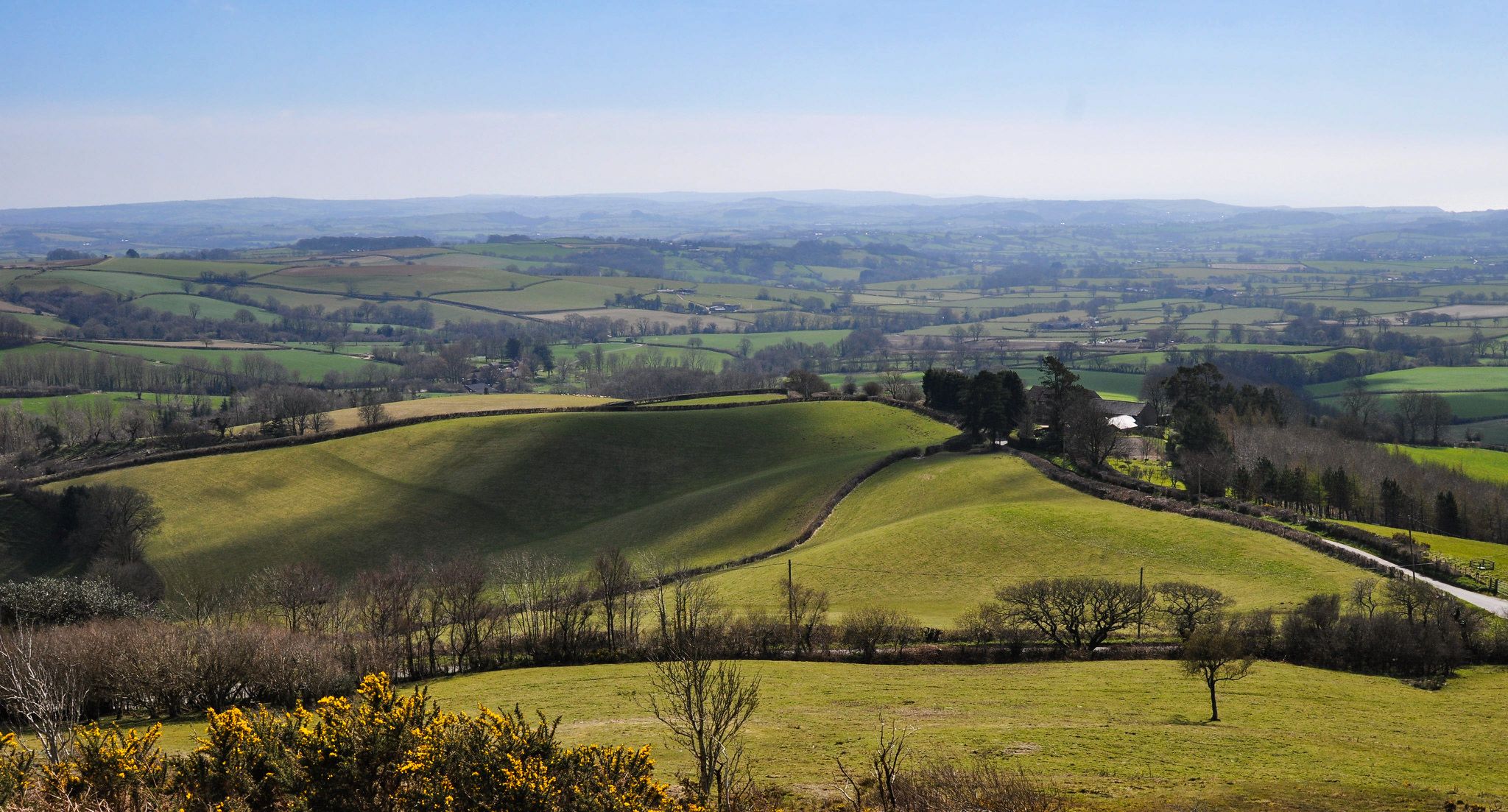
Hiking the Orange Way — Southern England in the footsteps of a king
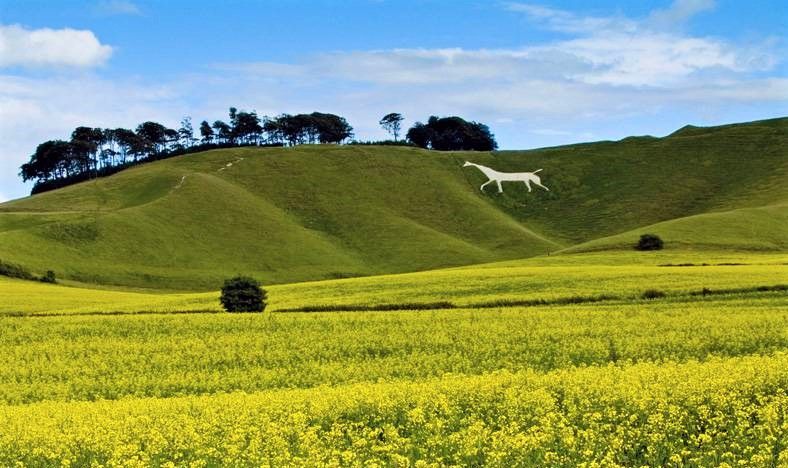
Wessex Ridgeway — An ancient and beautiful ridge hike
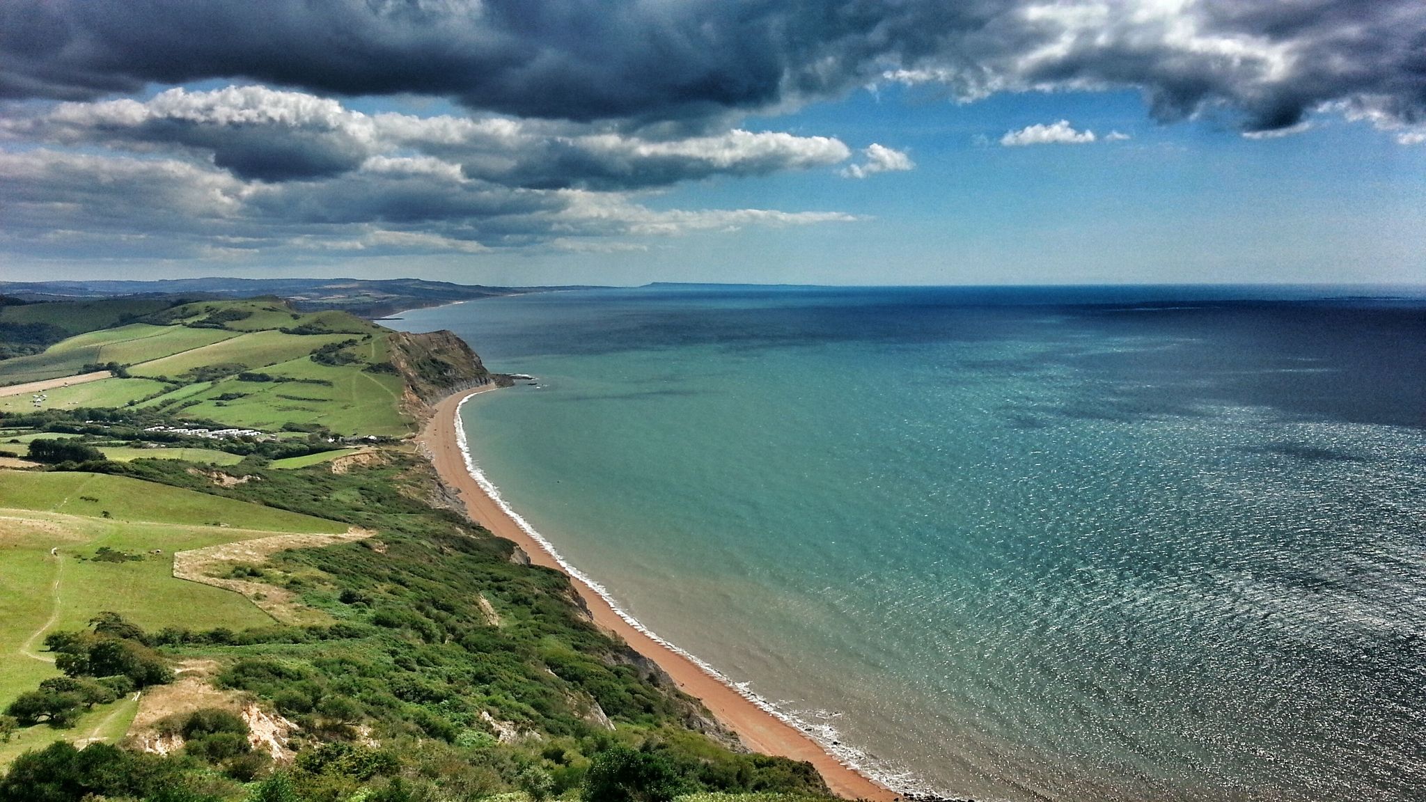
Monarch's Way: Part 3 — Conquer the longest inland trail in England
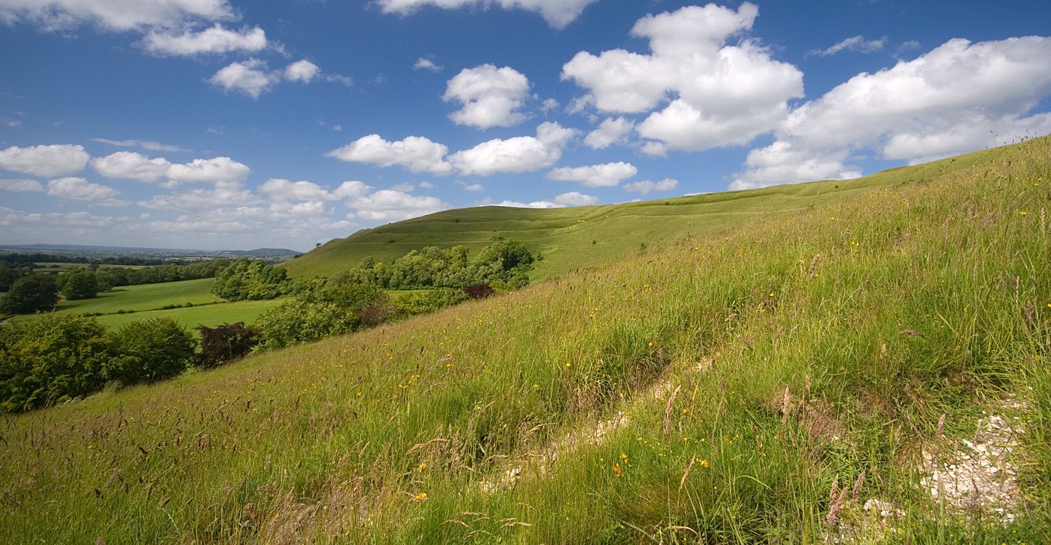
Roaming the ramparts of Dorset's hillforts — National Trust
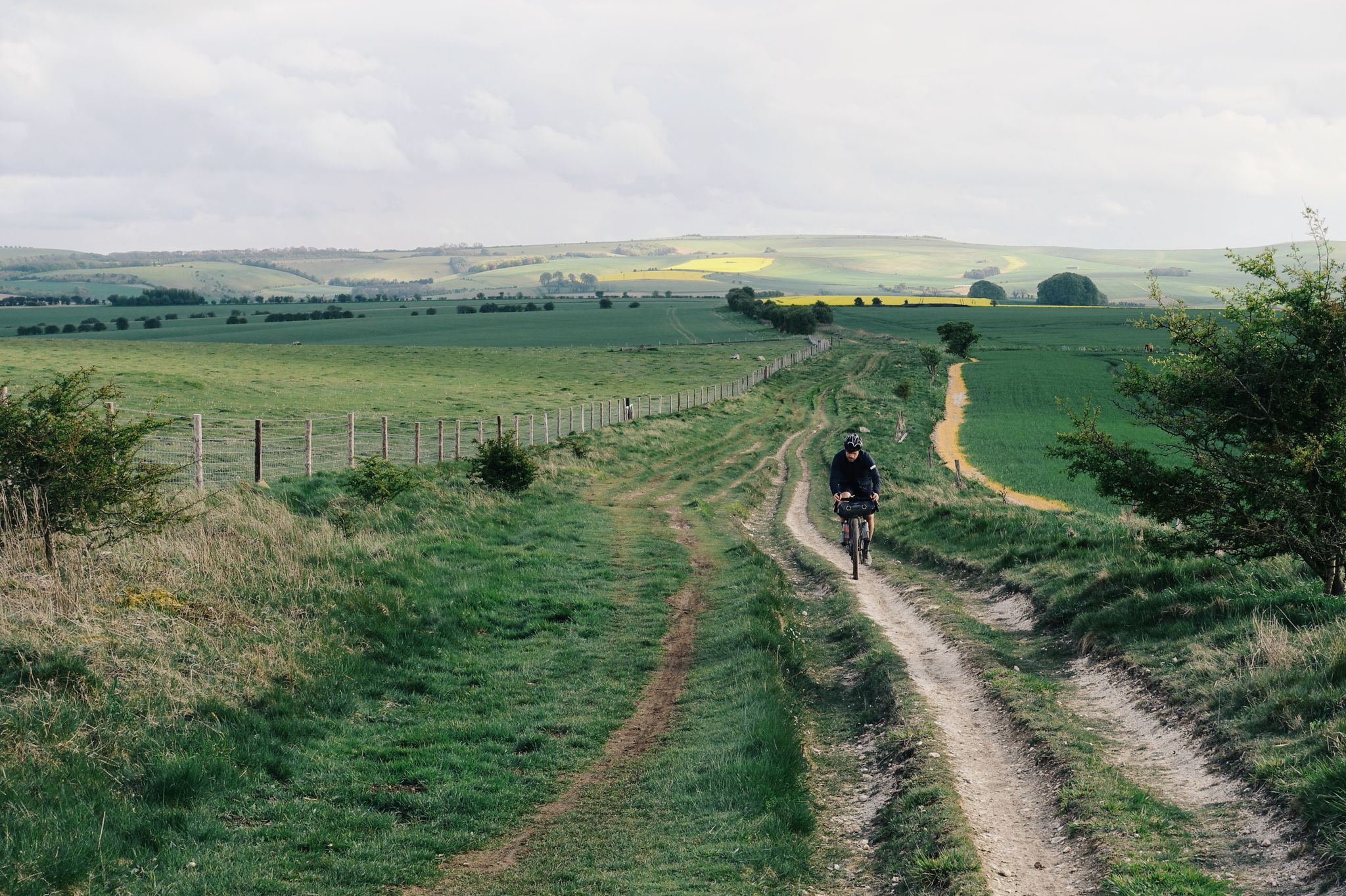
The Old Chalk Way
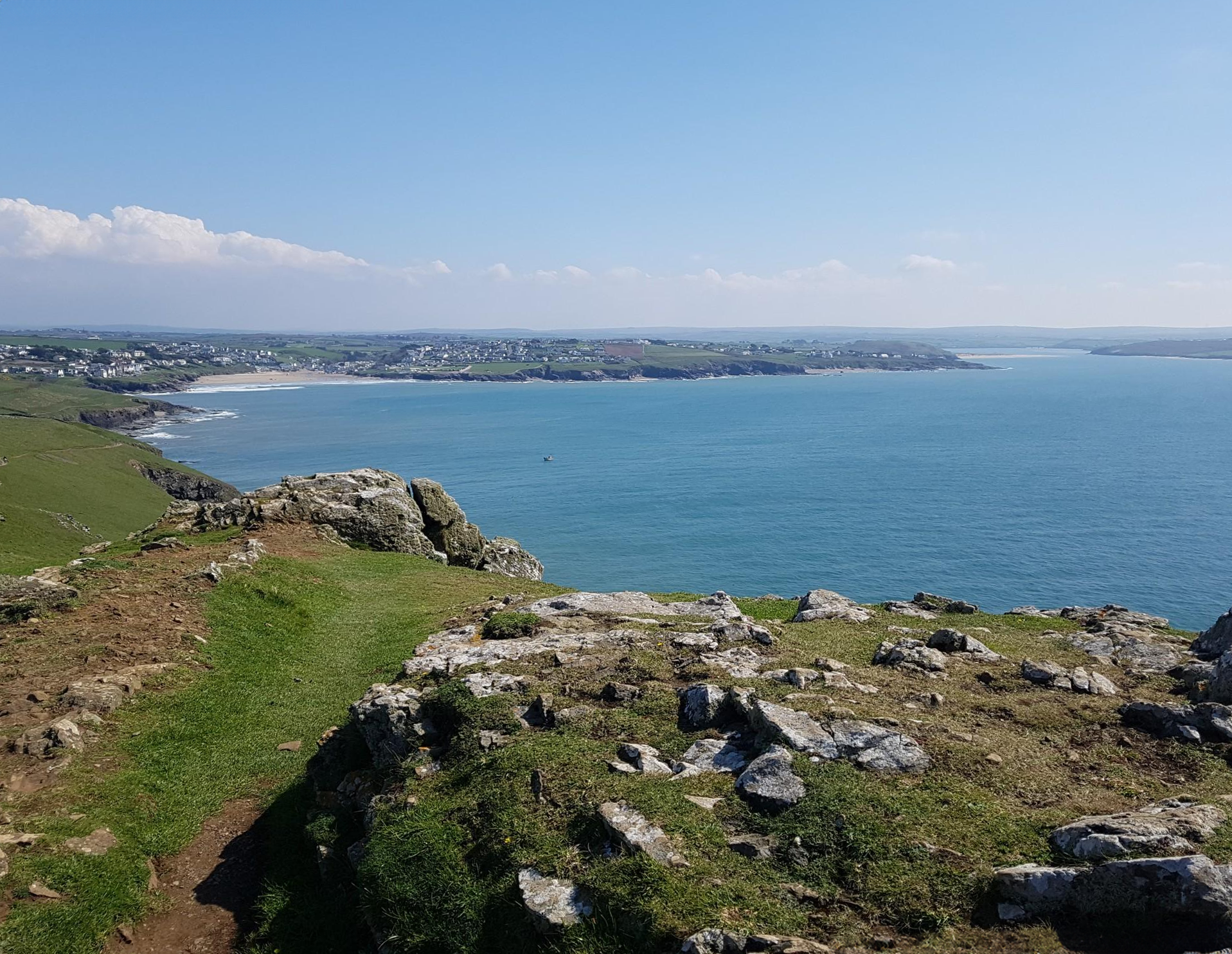
Trust10 – Trail Runs. In nature, for nature.
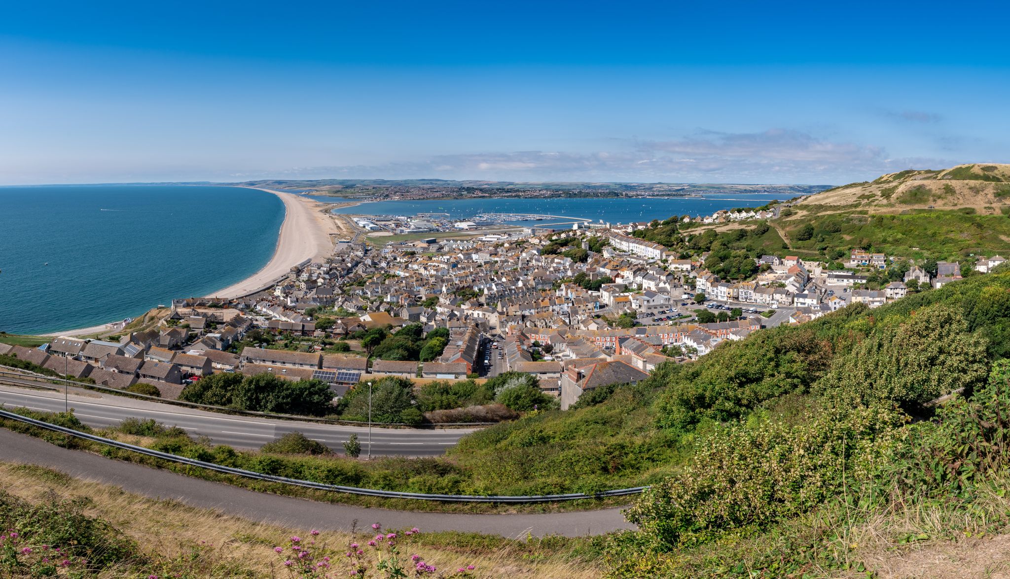
The county’s finest road rides — Dorset style
Other adventures in Cranborne Chase & West Wiltshire Downs AONB


Tips from the Community

The structure you see today stands in isolation in the flood meadows and acts as a major landmark for the area. North Dorset Trailway: The former railway line's route, including the embankment leading up to the remaining arches, has been repurposed as the North Dorset Trailway. This popular multi-use path is enjoyed by walkers, cyclists, and horse riders, and stretches for miles along the former trackbed. Stour Meadows Park: The park itself is a beautiful area for recreation and nature walks, situated next to the River Stour, and the preserved arches are a key historic feature on the route. Essentially, the remaining spans of the railway bridge are a powerful, tangible reminder of a celebrated piece of British railway history that once played a vital role in the commercial and social life of Blandford Forum.
0
0
The former railway bridge in Stour Meadows (part of the wider flood meadows near the River Stour) is significant for several reasons: The Line: It carried the Somerset & Dorset Joint Railway line, which ran a crucial cross-country route connecting Bath to Bournemouth. The Town's Station: The bridge was essential for the railway to reach the final location of Blandford Forum Station, which opened north of the River Stour in 1863. This required the extension of the line from its original temporary terminus south of the river at Blandford St Mary. Closure: The entire S&DJR line, often referred to simply as the "S&D," was closed as a result of the infamous Beeching Cuts. The Blandford station closed to passengers in March 1966, with the track eventually lifted around 1969. Demolition & Preservation: Following the line's closure, the original railway bridge that crossed the River Stour was largely demolished. However, two of its arches/spans were saved and are still visible in the meadows today. This is thanks to the efforts of local groups, like the Blandford Railway Arches Trust, who recognized their historical importance.
1
0
A very nice route indeed. Nothing too demanding at all. Give it a whirl!!!
1
0
In addition to the main rail bridge spanning the river, smaller bridges were built to allow traffic and pedestrians to cross the cuttings and track as it travelled north-west. Three bridges were built for this purpose and all of them remain integral to the navigation of the town today. Arguably the most distinctive of them is the Alexandra Street pedestrian footbridge, above the site of the dismantled station. Constructed from iron and now partially supported by four narrow legs, the bridge stands at what was once the northern end of the station, where the single-line section to Templecombe began. Blandford station remained open until 7 March 1966, when the entire line from Bath to Bournemouth closed to passengers. Goods traffic continued for a further three years, but the station was finally closed and the track lifted in 1969. Following the closure, the Damory railway bridges, on the southern approach to the station, were eventually demolished in 1978.
1
0

A beautiful ancient bridge lovely views in all seasons x
0
0

Black Cactus is a very friendly cafe with delicious food. you can charge up, recharge and refresh. Nice space to park your bikes right infront too. dogs also welcome.
2
0

Beautiful Dorset countryside - rolling hills - nothing too steep
0
0
There are toilets here - usually open during the day
0
0
Frequently Asked Questions
How many urban hiking trails are available in Cranborne Chase & West Wiltshire Downs AONB?
There are over 60 urban hiking trails in the Cranborne Chase & West Wiltshire Downs AONB featured on komoot. These routes offer a variety of experiences, from gentle strolls through market towns to slightly longer explorations of the surrounding urban fringes.
What kind of terrain can I expect on urban hikes in this region?
Urban hikes in the Cranborne Chase & West Wiltshire Downs AONB typically feature a mix of paved paths, town streets, and well-maintained footpaths through parks or along riverbanks. You'll often find yourself walking through charming villages and market towns, with occasional gentle ascents and descents as you explore the local area.
Are there any easy urban hikes suitable for beginners or casual walkers?
Yes, many urban hikes in the region are classified as easy. For example, the Offcamber Cycles – Blandford Forum Market Place loop from Blandford Forum is a gentle 3.5 km route perfect for a relaxed stroll. Another accessible option is the Stour Meadows Park – Blandford Forum Market Place loop from Blandford Forum, which covers about 4.2 km.
What interesting landmarks or attractions can I see along urban hiking trails?
Urban hikes often pass through or near charming villages and market towns. You might encounter historic architecture, local shops, and community spaces. For natural beauty, routes near Blandford Forum can take you close to the River Stour. While not directly on urban trails, the wider region is home to significant sites like Win Green Summit and Badbury Rings Iron Age hillfort, which can be reached via other routes.
Are the urban hiking trails in Cranborne Chase & West Wiltshire Downs AONB family-friendly?
Many urban hiking trails are suitable for families, especially those looking for shorter, less strenuous walks. The paths are generally well-defined and often pass through parks or quieter streets, making them ideal for walks with children. Routes like the The Whistle Stop Tea Room loop from Blandford Forum are relatively short and can be a good option for a family outing.
Can I bring my dog on urban hikes in this area?
Most urban trails in the Cranborne Chase & West Wiltshire Downs AONB are dog-friendly, provided dogs are kept under control, especially in built-up areas or near livestock. Always check local signage for specific restrictions, particularly in parks or nature reserves. Remember to bring water for your dog and clean up after them.
Are there circular urban hiking routes available?
Yes, many of the urban hiking routes are circular, allowing you to start and end in the same location without retracing your steps. For instance, the Blandford Forum Market Place – Offcamber Cycles loop from Blandford Forum is a circular route that offers a pleasant walk around the town.
What is the best time of year to go urban hiking in Cranborne Chase & West Wiltshire Downs AONB?
Urban hiking in this region is enjoyable year-round. Spring brings blooming flowers and milder temperatures, while autumn offers beautiful foliage. Summer is pleasant for longer walks, and even winter can be charming, especially in towns with festive lights. The well-maintained paths make them accessible in most weather conditions.
Is parking available near the urban hiking trailheads?
Parking is generally available in the towns and villages that serve as starting points for urban hikes. Look for public car parks in places like Blandford Forum. Some routes may start near local businesses or amenities where parking might be available, but always check for parking restrictions and fees.
Are there pubs or cafes along the urban hiking routes?
Yes, urban hikes often pass through or near town centers, providing ample opportunities to stop at pubs, cafes, or shops. You can easily find refreshments and local treats, making for a pleasant break during your walk. Many routes are designed to connect with these amenities, enhancing the overall experience.
What do other hikers enjoy most about urban hiking in Cranborne Chase & West Wiltshire Downs AONB?
The area is highly rated by the komoot community, with an average score of 4.6 stars. Reviewers often praise the charming blend of historic towns and accessible natural beauty, the well-maintained paths, and the opportunity to discover local culture and amenities while enjoying a walk.
Are there any urban hikes that connect to larger natural areas or viewpoints?
While primarily focused on urban environments, some routes might offer glimpses of the wider AONB landscape or connect to paths leading to more rural areas. For example, routes around Blandford Forum might take you along the River Stour, offering a transition from town to riverside nature. The region's expansive chalk downland and ancient woodlands are often visible from the edges of these urban areas.
Most popular routes in Cranborne Chase & West Wiltshire Downs AONB
Most popular attractions in Cranborne Chase & West Wiltshire Downs AONB

Get inspired with the komoot mobile app


Explore more
Browse the best Hikes in other regions.
