Cranborne Chase & West Wiltshire Downs AONB
Cranborne Chase & West Wiltshire Downs AONB
The best running trails in Cranborne Chase & West Wiltshire Downs AONB
4.5
(56)
3,550
runners
380
runs
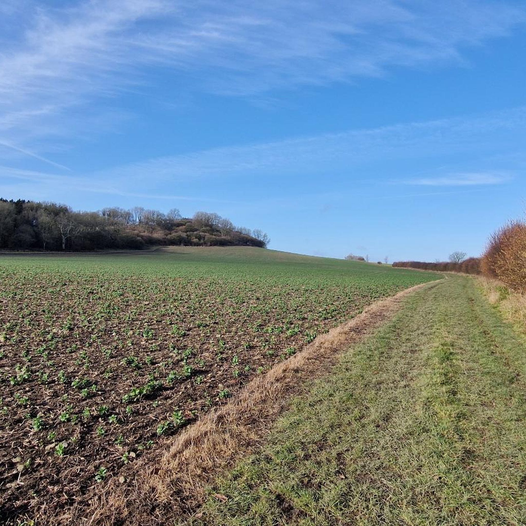
Jogging in Cranborne Chase & West Wiltshire Downs AONB offers diverse terrain across its 380 square miles, characterized by expansive chalk downland, ancient woodlands, and picturesque river valleys. The region features smooth, rounded hills, steeply cut combes, and dry valleys, particularly in the southern Cranborne Chase area, alongside more varied topography with shapely knolls and whaleback ridges in the northern Wiltshire Downs. Significant ancient woodlands like Grovely Wood and Great Ridge Wood provide shaded routes, while chalkland valleys of the Wylye, Nadder, and Stour offer gentler gradients and waterside views. This varied landscape provides a range of running experiences, from open, rolling trails to more sheltered, wooded paths.
Best jogging routes in Cranborne Chase & West Wiltshire Downs AONB
- The most popular jogging route is Stourhead Estate & King Alfred's Tower loop, a 5.9 miles (9.5 km) trail that takes 1 hour 5 minutes to complete. This route offers varied terrain, including some paved surfaces, within a historic estate.
- Another top favourite among local runners is Cold Kitchen Hill & Shearwater loop from Horningsham, a difficult 12.3 miles (19.7 km) path. This route provides diverse lengths and elevation gains, exploring the scenic landscape around Shearwater.
- Local runners also love the Fonthill Bishop & Fonthill Lake loop from Tisbury — Cranbourne Chase & West Wiltshire Downs, a 7.4 miles (11.8 km) trail leading through scenic lake areas, often completed in about 1 hour 15 minutes.
- Jogging in Cranborne Chase & West Wiltshire Downs AONB is defined by expansive chalk downland, ancient woodlands, and picturesque river valleys. The network offers options for different ability levels, from easy paths to more challenging trails.
- The routes in Cranborne Chase & West Wiltshire Downs AONB are highly rated by the komoot community with an average score of 4.5 stars from over 45 reviews. More than 3000 runners have used komoot to explore Cranborne Chase & West Wiltshire Downs AONB's varied terrain.
Last updated: August 17, 2026
5.0
(1)
108
runners
9.46km
01:06
140m
140m
Jog a moderate 5.9-mile loop through Stourhead Estate, featuring King Alfred's Tower, woodlands, and varied terrain with 473 feet of elevati
5.0
(1)
28
runners
19.7km
02:15
380m
380m
This difficult 12.3-mile jogging loop from Horningsham features panoramic views from Cold Kitchen Hill and scenic paths around Shearwater La

Sign up for free
18
runners
Moderate run. Good fitness required. Mostly paved surfaces. Suitable for all skill levels.
4.0
(1)
7
runners
12.9km
01:24
120m
120m
Embark on a moderate jogging route through the expansive Dorset countryside with The Hardy Way and Badbury Rings Loop. This 8.0-mile (12.9 km) journey, which you can complete in about 1 hour and 24 minutes, offers a varied experience with generally undulating terrain. As you jog, you will gain 388 feet (118 metres) in elevation, passing through woodlands where you might spot diverse wildlife like skylarks. The highlight is undoubtedly the Badbury Rings Iron Age hillfort, with its distinctive three rings providing a glimpse into ancient history. You will also pass by the notable Kingston Lacy estate, adding to the scenic and historical appeal of your run.
Before you set out, be aware that the area around Badbury Rings is managed by the National Trust; it is wise to check their guidelines for visitors. The paths can sometimes become muddy, especially after rainfall, so be sure to wear appropriate footwear to ensure a comfortable experience. While specific parking details are not provided for this exact route, many trails in the vicinity often begin from places like Kingston Lacy, suggesting parking options are available there or nearby. Planning your visit during drier periods might enhance your enjoyment of the trail.
This route stands out for its unique blend of natural beauty and historical significance, tracing parts of the famous Hardy Way. The Badbury Rings hillfort itself is a remarkable example of an Iron Age defensive structure, offering panoramic views that stretch across the landscape. Beyond the ancient earthworks, the trail introduces you to the rich biodiversity of the local woodlands, making it a rewarding experience for those who appreciate both history and nature. It is a perfect choice if you are looking for a moderate workout combined with cultural exploration in the heart of Dorset.
7
runners
Hard run. Very good fitness required. Mostly accessible paths. Some sure footedness required.
Get access to more routes and recommendations from other explorers.
Sign up for free
Already have an account?
Our route recommendations are based on thousands of hikes, rides, and runs completed by other people on komoot.
Start today with a free account
Your next adventure awaits.
Login or Signup
Popular around Cranborne Chase & West Wiltshire Downs AONB
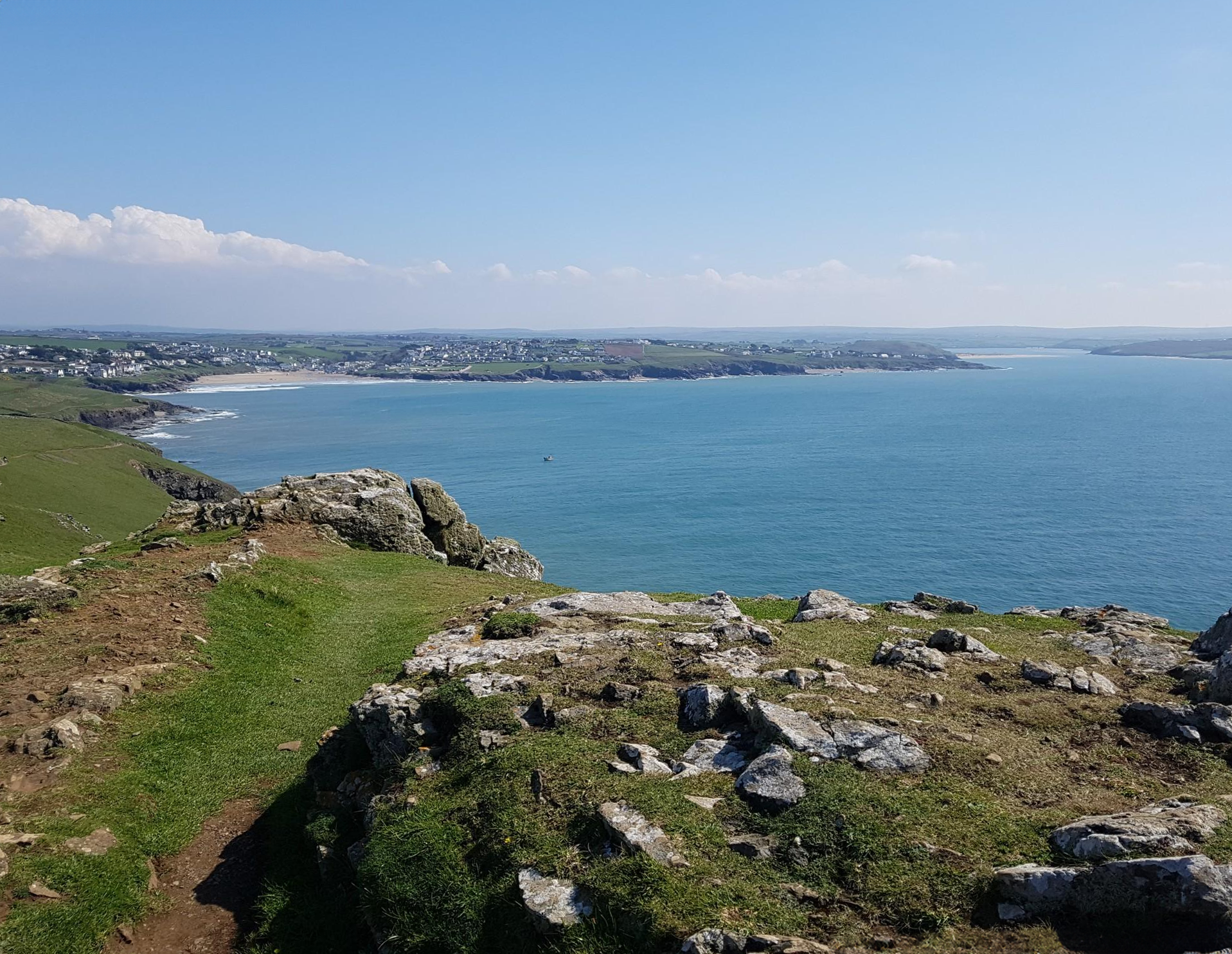
Trust10 – Trail Runs. In nature, for nature.
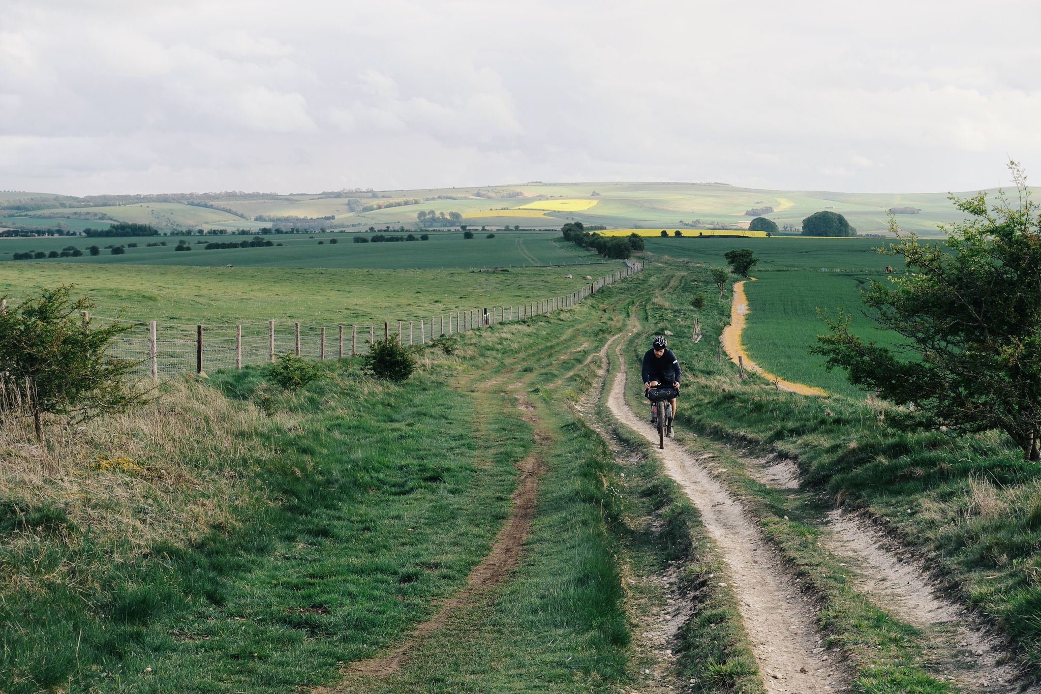
The Old Chalk Way
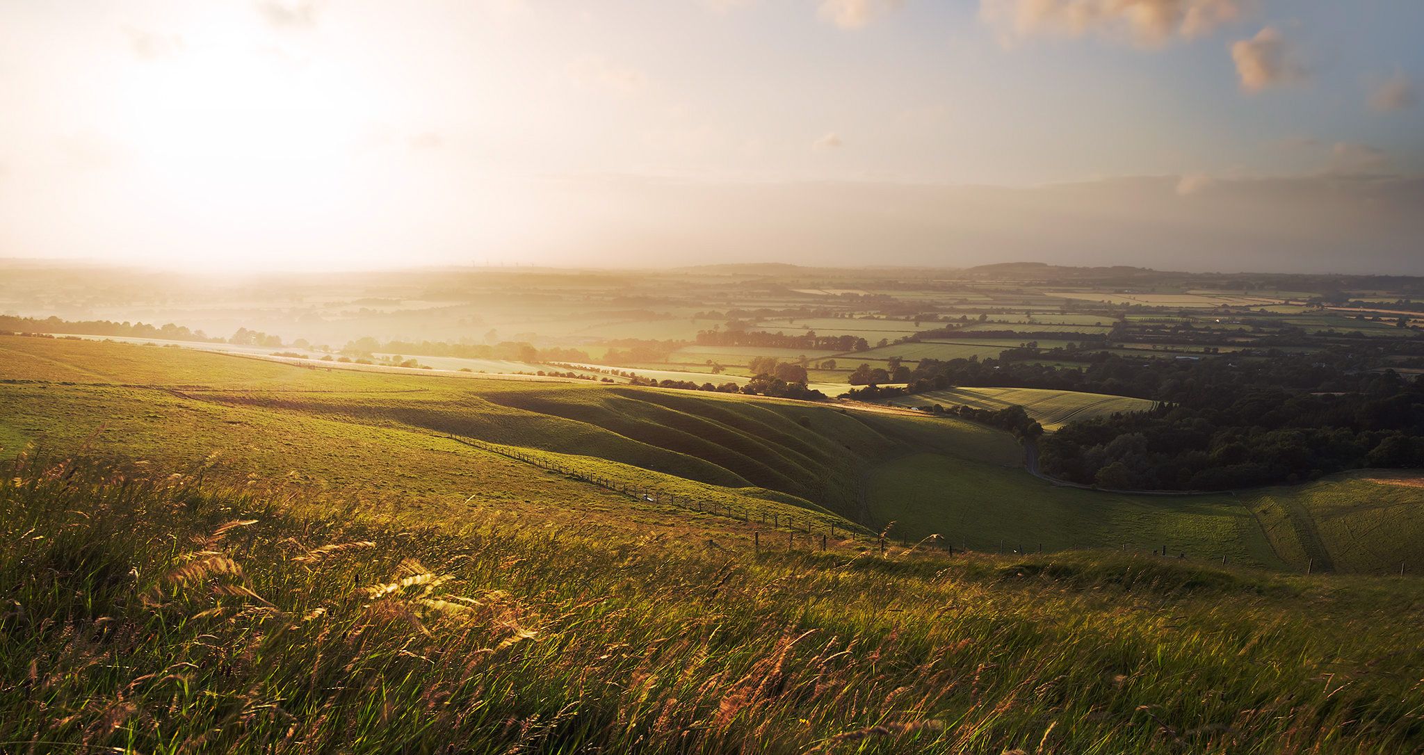
Hiking the Greater Ridgeway — Following Roman roads across England
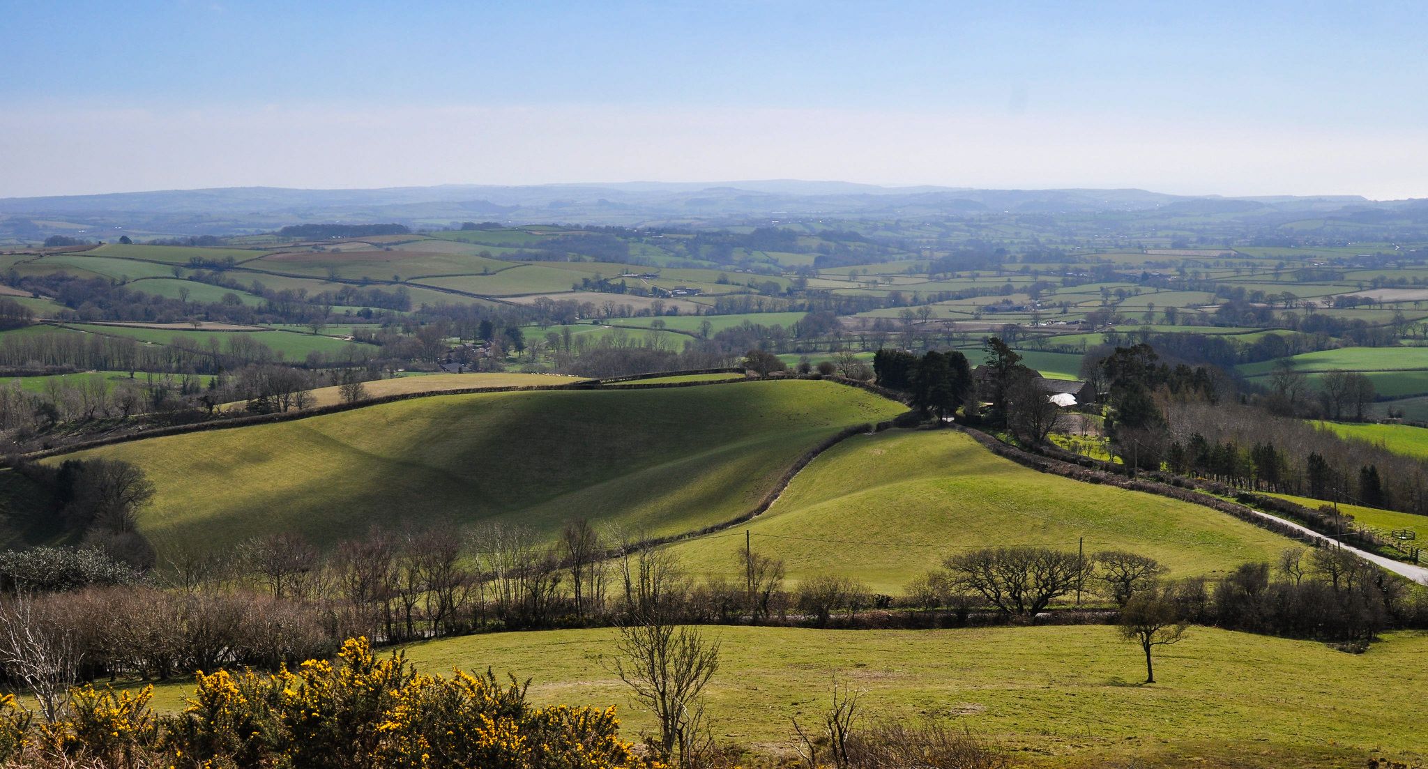
Hiking the Orange Way — Southern England in the footsteps of a king

Wessex Ridgeway — An ancient and beautiful ridge hike
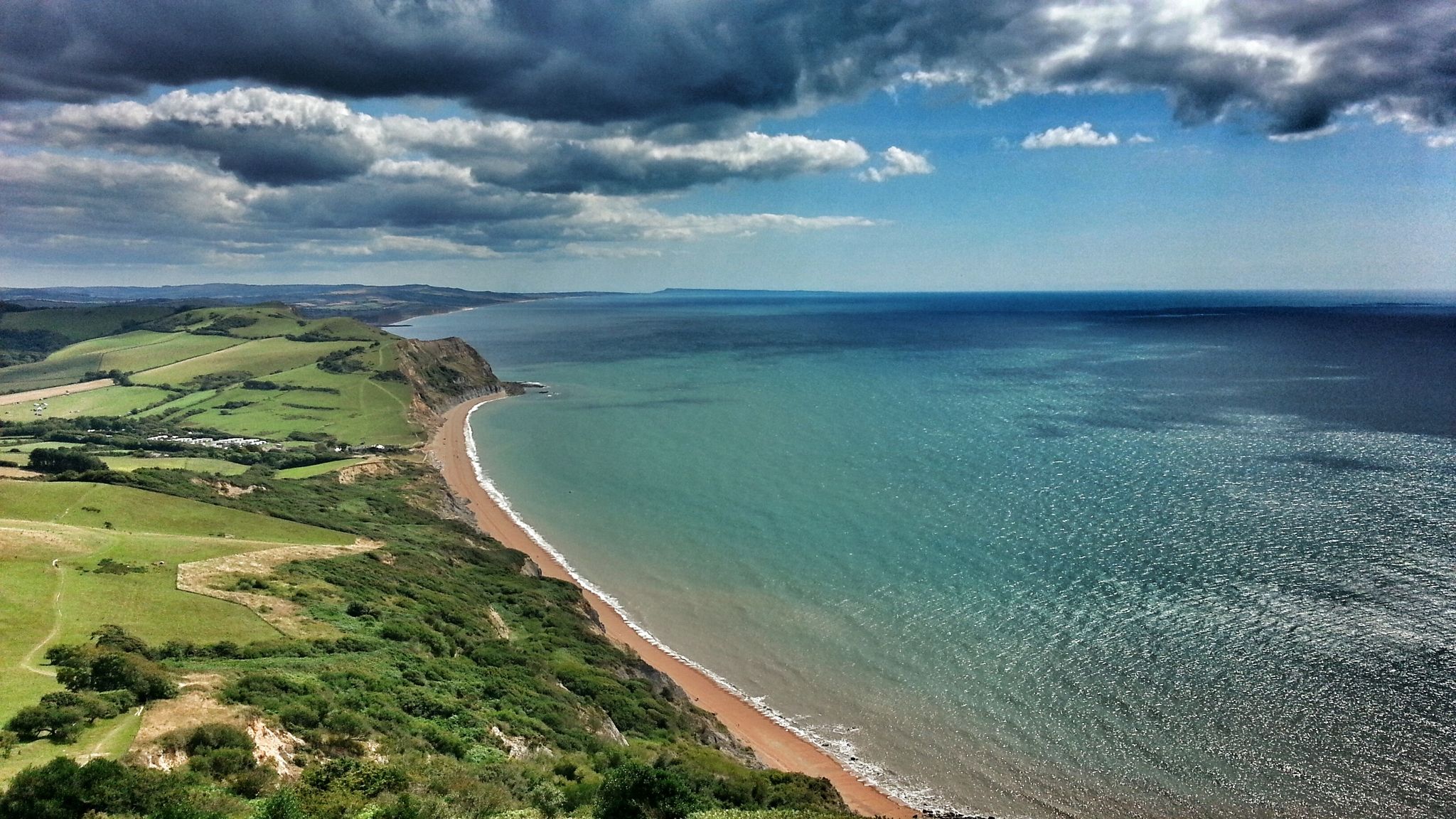
Monarch's Way: Part 3 — Conquer the longest inland trail in England
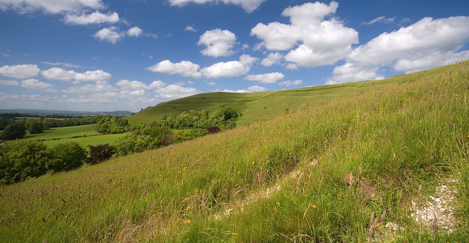
Roaming the ramparts of Dorset's hillforts — National Trust
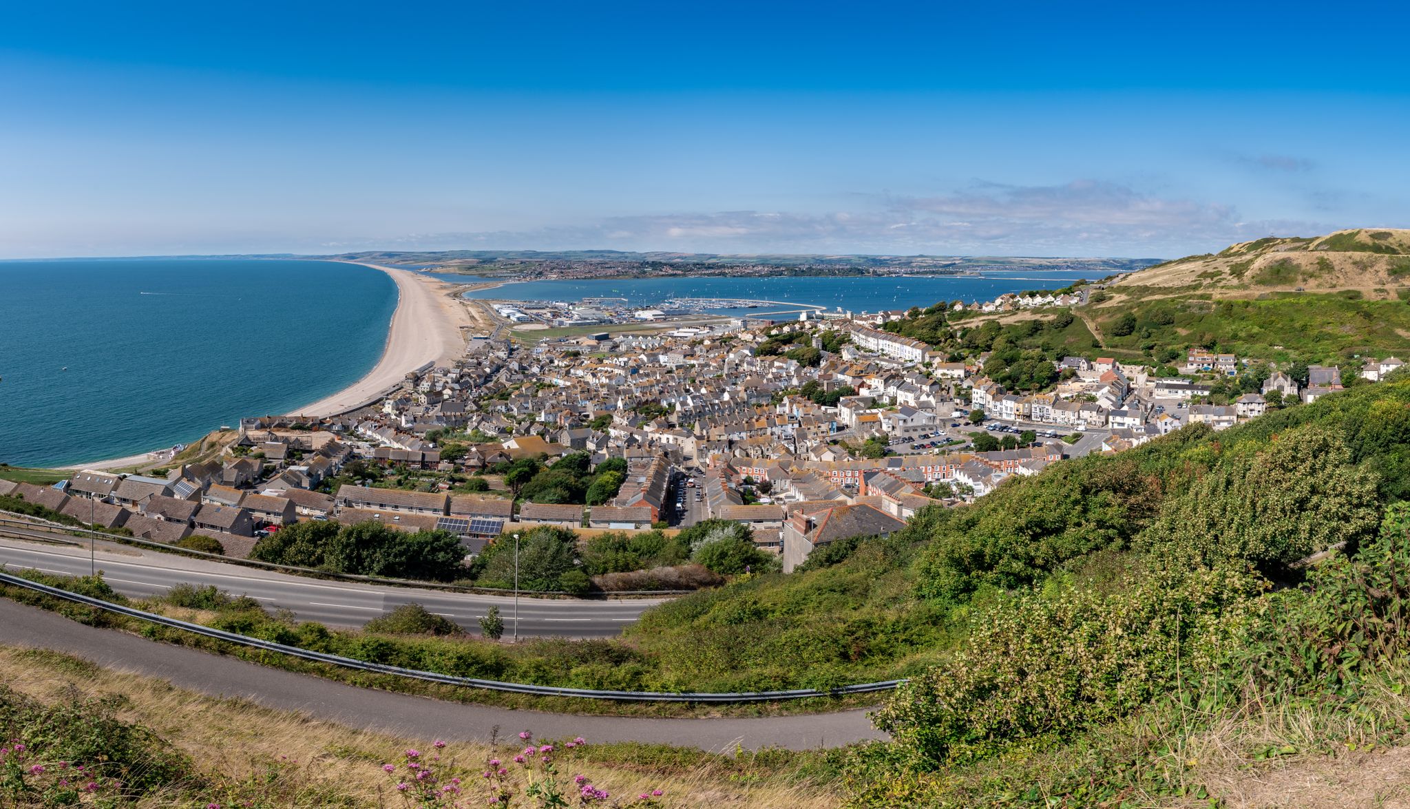
The county’s finest road rides — Dorset style
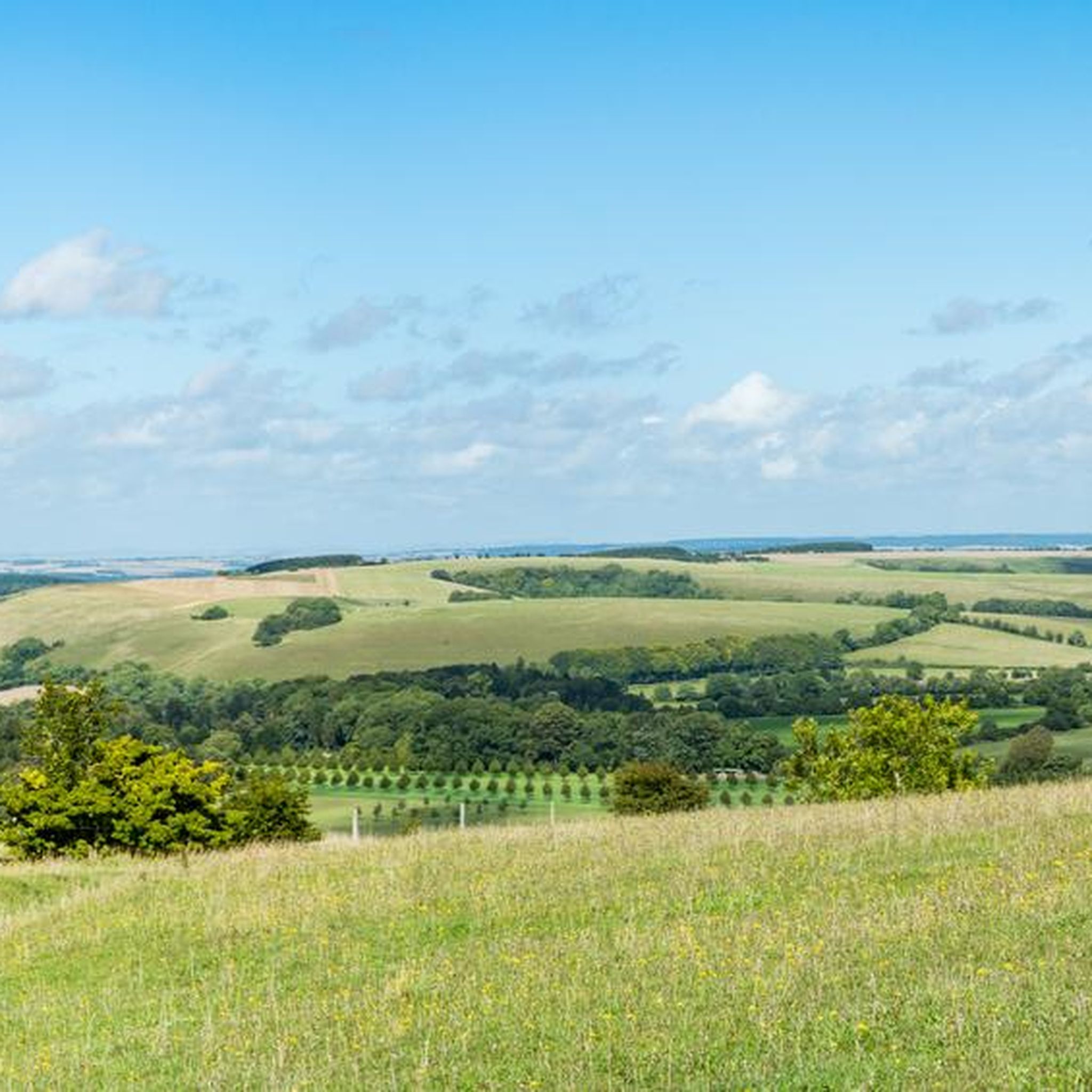
Hiking in Cranborne Chase & West Wiltshire Downs AONB
Cycling in Cranborne Chase & West Wiltshire Downs AONB
Other adventures in Cranborne Chase & West Wiltshire Downs AONB


Tips from the Community

The gardens of Stourhead are one of the most famous English landscape gardens of the 18th century and for me one of the most beautiful I have seen so far. The centerpiece is a large, artificially created lake, around which winding paths, temples, bridges, grottoes, and rare trees extend. The layout was designed so that new picturesque views open up at every turn.
1
0

Good climb, was across fields but fine today as they’ve been harvested. Might have been tricky earlier in the year
0
0


Love this place the views there are amazing cranborne to one side and Pentridge to the otherside
1
0
This is amazing for trail running especially in the woods north of the lake x
0
0

Lovely lake with woodland walks around the lake and a cafe at one end. Plenty of parking as well.
0
0

Badbury Rings is an Iron Age hill fort and Scheduled Monument in east Dorset, England. In the Roman era a temple was located immediately west of the fort, and there was a Romano-British town known as Vindocladia ( Known today as Shapwick ) a short distance to the south-west. It sits over 300 feet above sea level, and there are two main phases of construction; the first covered 18 acres and was defended by multiple ditches, while the second was more than twice the size, covering 41 acres and defended by a single ditch and rampart. These ramparts make for great walking, but imagine the terror of trying to scale one whilst under attack from the occupants. Once you'd scaled one, there were more waiting for you. No wonder it was the last fort to be sacked by the Romans. Wonder just how many soldiers died trying to take it. Until 1983 Badbury Rings was privately owned as part of the Kingston Lacy estate, and the owners discouraged investigation of the site.[2] The site now belongs to the National Trust.[2] A survey of the hillfort by the RCHME was begun in 1993. The summit area was cleared of undergrowth by the National Trust in 1997 and the conifer plantation was thinned out. A survey in 1998, which recorded 28 potential hut sites within the ramparts, although some depressions are probably caused by uprooted trees. The first excavations, led by Martin Papworth, took place in 2004, when three evaluation trenches were dug. Almost all of the pottery found was dated to the Late Iron Age. The current evidence does not suggest that the hillfort was a principal settlement in the Early Iron Age. It seems likely that the hillfort became depopulated towards the end of the Late Iron Age, perhaps as the Vindocladia settlement near Shapwick developed.
1
0
Frequently Asked Questions
How many running routes are available in Cranborne Chase & West Wiltshire Downs National Landscape?
There are over 400 running routes available in the Cranborne Chase & West Wiltshire Downs National Landscape, offering a wide variety of experiences for all abilities. These routes are highly rated by the komoot community, with an average score of 4.5 stars.
What kind of terrain can I expect on the jogging trails?
The National Landscape offers diverse terrain. You'll find expansive chalk downland with smooth, rounded hills and dry valleys, particularly in the southern Cranborne Chase area. The northern Wiltshire Downs feature more varied topography with shapely knolls and whaleback ridges. Additionally, there are significant ancient woodlands like Grovely Wood and Great Ridge Wood, providing shaded paths, and gentler gradients along the river valleys of the Wylye, Nadder, and Stour.
Are there any easy or beginner-friendly running routes?
Yes, the region offers a good selection of easier routes. There are 29 routes classified as easy, perfect for beginners or those looking for a more relaxed run. For example, the Stourhead Estate & King Alfred's Tower loop is a moderate 5.9-mile trail with varied terrain, including some paved sections, suitable for many runners.
Can I find challenging running trails with significant elevation?
Absolutely. For those seeking a challenge, there are 72 difficult routes available. Trails like the Cold Kitchen Hill & Shearwater loop from Horningsham, at 12.3 miles, offer diverse lengths and elevation gains, exploring scenic landscapes. Another challenging option is the Cranbourne and Pentridge Hill loop, which is over 15 miles long with substantial elevation.
What natural features or landmarks can I see while running?
The National Landscape is rich in natural beauty and historical sites. You can encounter stunning viewpoints like Melbury Beacon and Cley Hill, or visit serene lakes such as Shearwater Lake and Fonthill Lake. The area also features ancient woodlands, chalk downlands, and picturesque river valleys. Historic sites like Stourhead House and Gardens are also accessible along some routes.
Are there any running routes suitable for families?
While specific 'family-friendly' classifications aren't always explicit, many of the easier and moderate routes, especially those with less elevation and on well-maintained paths, can be suitable for families. Consider routes within estates like Stourhead, which often have varied terrain and amenities. The gentle gradients along river valleys also offer more relaxed options.
Are dogs allowed on the running trails?
Many public rights of way and trails within the Cranborne Chase & West Wiltshire Downs National Landscape are dog-friendly. However, it's always recommended to keep dogs under close control, especially near livestock, and to check specific route guidelines or local signage for any restrictions. Respecting the local wildlife and farming communities is key.
When is the best time of year to go running in the region?
The National Landscape is beautiful year-round. Ancient woodlands provide shaded routes, which are particularly appealing during warmer months. The open chalk downlands offer expansive views, but can be exposed to elements. The region is also nationally recognized for its dark night skies, offering a unique experience for adventurous night-time running with appropriate safety measures.
Are there circular running routes available?
Yes, many of the routes in Cranborne Chase & West Wiltshire Downs National Landscape are circular, allowing you to start and finish at the same point. Examples include the Fonthill Bishop & Fonthill Lake loop from Tisbury and The Hardy Way and Badbury Rings Loop, providing convenient options for exploration.
What do other runners enjoy most about jogging in Cranborne Chase & West Wiltshire Downs National Landscape?
The area is highly rated by the komoot community, with an average score of 4.5 stars from over 45 reviews. Runners often praise the diverse and picturesque landscapes, from rolling chalk downlands to ancient woodlands and serene river valleys. The variety of terrain and the opportunity to explore historical sites and natural features also contribute to a rewarding experience.
Is parking available near the running trails?
While specific parking locations vary by trail, the region is generally well-equipped with parking options, especially near popular trailheads, villages, and attractions. It's advisable to check the starting points of individual routes for detailed parking information.
Can I reach the running trails using public transport?
The Cranborne Chase & West Wiltshire Downs National Landscape encompasses numerous villages and towns, some of which are served by public transport. While direct access to every trailhead might be limited, planning your route to start from a village with bus or train connections can be a viable option. For detailed public transport information, it's best to consult local transport providers or resources like Visit Wiltshire.
Most popular routes in Cranborne Chase & West Wiltshire Downs AONB
Most popular attractions in Cranborne Chase & West Wiltshire Downs AONB

Get inspired with the komoot mobile app


Explore more
Browse the best Running Trails & Routes in other regions.
