The best traffic-free bike rides in Təmtəmíxʷtən/Belcarra Regional Park
4.4
(75)
540
riders
5
rides
Gravel biking in Təmtəmíxʷtən/Belcarra Regional Park offers diverse landscapes, combining extensive forests with freshwater and saltwater shorelines. The region features a mix of trails and shared roads, providing varied terrain for gravel cyclists. Riders can expect mountain and ocean views, with some routes incorporating challenging hills and unpaved sections. The park's natural environment includes cool glades of towering trees and a blend of coastal and inland features.
Best no traffic gravel bike trails in Təmtəmíxʷtən/Belcarra Regional Park
- The most popular…
Last updated: July 9, 2026
5.0
(9)
134
riders
74.9km
04:40
960m
960m
Hard gravel ride. Very good fitness required. You may need to push your bike for some segments of this route.
14
riders
57.3km
03:19
650m
650m
Hard gravel ride. Very good fitness required. Mostly paved surfaces. Suitable for all skill levels.

Sign up for free
11
riders
37.1km
02:26
640m
640m
Hard gravel ride. Very good fitness required. Mostly paved surfaces. Suitable for all skill levels.
4.3
(44)
125
riders
Moderate gravel ride. Good fitness required. Mostly paved surfaces. Suitable for all skill levels.
5.0
(2)
29
riders
51.4km
02:38
140m
130m
Moderate gravel ride. Good fitness required. Mostly paved surfaces. Suitable for all skill levels.
Our route recommendations are based on thousands of hikes, rides, and runs completed by other people on komoot.
Start today with a free account
Your next adventure awaits.
Login or Signup
Popular around Təmtəmíxʷtən/Belcarra Regional Park

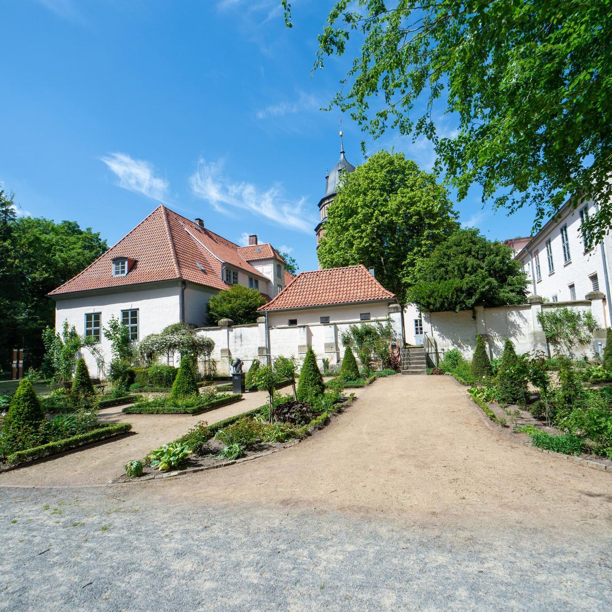
Tips from the Community

təmtəmíxʷtən/Belcarra Regional Park sits covers 1,100 hectares (2,700 acres) and offers a mix of beaches, shaded trails, and calm lake swimming. You can explore cool, mossy glades beneath towering trees, wander shoreline paths, or head inland to Sasamat Lake, known for its warm summer water and family‑friendly beaches. The parks name, given by the Tsleil‑Waututh Nation, means “the biggest place for all the people,” and the land still holds a high place in their history and culture.
0
0

This section of the Trans Canada Trail follows the wooded banks of the Coquitlam River through Coquitlam. The mostly gravel path runs through forested river habitat, offering a quiet stretch of trail where the sound of the river accompanies much of the walk. It’s a multi-use route popular with hikers, runners, and cyclists, and several bridges and viewpoints along the way provide good views over the river as it flows through the valley.
0
0

On the east side of the bridge’s northern end, near the base of the bridge is a memorial to honor 27 workers who lost their lives on June 17, 1958, when a section of the original Second Narrows Bridge collapsed during construction.
0
0

A nice monument to workers who lost their lives.
0
0

The Seymour River Suspension Bridge was completed and opened in December 2018. This made it possible to walk the Fisherman's Trail (North) all the way through again. After the former Twin Bridges had to be demolished in 2014 following a rockslide and damming of the Seymour River, there was no longer a crossing at this point in the Lower Seymour Conservation Reserve. The Twin Bridges were originally built in 1908 to carry pipelines and were later supplemented by a parallel pedestrian bridge. Years later, the two bridges were combined to form one bridge. https://www.vancouvertrails.com/blog/seymour-river-suspension-bridge/
2
0

This pedestrian and bicycle bridge crosses the Seymour River and is part of the region's network of trails and roads. Opened in 2018, the bridge is a modern structure designed to improve access and connectivity to surrounding natural areas, such as Lower Seymour Conservation Reserve Regional Park and Inter River Park. As well as being an attractive spot for walkers and cyclists, the bridge offers panoramic views of the river and its natural surroundings.
1
0

Operated by volunteers. Usually open to the public on Saturday mornings.
0
0

The Pitt River Bridge is a cable-stayed bridge that spans the Pitt River between Port Coquitlam and Pitt Meadows in British Columbia, Canada.
0
0
Frequently Asked Questions
How many no traffic gravel bike trails are available in Təmtəmíxʷtən/Belcarra Regional Park?
There are 6 dedicated no traffic gravel bike trails in Təmtəmíxʷtən/Belcarra Regional Park featured in this guide. These routes offer a mix of easy, moderate, and difficult options to suit various skill levels.
What kind of terrain can I expect on these no traffic gravel bike trails?
The no traffic gravel bike trails in and around Təmtəmíxʷtən/Belcarra Regional Park offer a diverse mix of terrain. You'll encounter dedicated trails, shared roads with minimal traffic, and unpaved sections. Some routes, like the broader 'Belcarra Gravel Loop Intermediate' mentioned in the region, can be up to 30% unpaved, providing a true gravel experience amidst forests and along shorelines.
Are there any family-friendly no traffic gravel bike routes?
Yes, for families or those seeking an easier ride, consider routes like the View of Mount Baker – Hyde Creek Salmon Hatchery loop from Lafarge Lake–Douglas. This route is rated easy and offers a more relaxed experience away from vehicle traffic, allowing you to enjoy the scenery.
What are some scenic viewpoints or attractions I can see along these routes?
Many routes offer stunning views and access to natural attractions. You can expect mountain and ocean views, especially from points like Belcarra Lookout or Admiralty Point. The park also features diverse shorelines, including Sasamat Lake and Burrard Inlet, and popular spots like Maple Beach.
Are there any longer or more challenging no traffic gravel bike routes for experienced riders?
Absolutely. For experienced riders looking for a significant challenge, the Halfway Hairpin – Seymour Lake Gazebo loop from Lougheed Town Centre is a difficult route spanning nearly 75 kilometers with over 960 meters of elevation gain. It provides a demanding yet rewarding no traffic gravel biking experience.
Can I find circular no traffic gravel bike routes in the area?
Yes, all the no traffic gravel bike routes highlighted in this guide are circular, allowing you to start and end at the same point. For example, the Noons Creek Salmon Hatchery – Port Moody Heron Rookery loop from Inlet Centre offers a challenging 29-kilometer loop with significant elevation.
What do other gravel bikers enjoy most about Təmtəmíxʷtən/Belcarra Regional Park?
The area is highly rated by the komoot community, with an average score of 4.5 stars from 78 ratings. Reviewers often praise the quiet, traffic-free nature of the trails, the stunning natural beauty of the forests and shorelines, and the diverse range of routes available for different fitness levels.
Are there facilities like picnic areas or restrooms along these routes?
Yes, Təmtəmíxʷtən/Belcarra Regional Park offers several amenities. The Belcarra Picnic Area and White Pine Beach picnic area are equipped with facilities such as picnic shelters, tables, and restrooms, making them ideal spots for a break during your ride.
What is the best time of year for no traffic gravel biking in Təmtəmíxʷtən/Belcarra Regional Park?
The park is enjoyable year-round, but spring and fall often offer the most comfortable temperatures for gravel biking. Summers are great for combining a ride with a swim at Sasamat Lake, while winter rides can be beautiful, though some trails might be muddier. Always check local conditions before heading out.
Are there any moderate no traffic gravel bike trails?
Yes, if you're looking for a moderate challenge, the Pitt River Bridge – Pitt River Dike Trail loop from Lafarge Lake–Douglas is a great option. This route covers over 51 kilometers and offers a balanced ride with some elevation, perfect for those with good fitness.
What kind of wildlife might I encounter on these trails?
Təmtəmíxʷtən/Belcarra Regional Park is a significant conservation area, so you might encounter diverse wildlife. Keep an eye out for deer, various waterfowl, shorebirds, and even seals or crabs along the marine areas. The Woodhaven Swamp within the park is also home to many amphibians.
Most popular routes in Təmtəmíxʷtən/Belcarra Regional Park
Most popular attractions in Təmtəmíxʷtən/Belcarra Regional Park

Get inspired with the komoot mobile app


Explore more
Browse the best Gravel rides in other regions.
