The best hikes from bus stations in Parco Delle Orobie Valtellinesi
4.5
(23589)
136,901
hikers
427
hikes
Hiking in Parco Delle Orobie Valtellinesi features diverse landscapes, including crags, rocky screes, and expansive alpine meadows. The region is characterized by coniferous and deciduous forests, numerous streams, and small lakes. Peaks ascend over 3000 meters, and the geological makeup primarily consists of metamorphic rocks, offering varied terrain for bus station hiking trails.
Best bus station hiking trails in Parco Delle Orobie Valtellinesi
- The most popular bus station hiking route is CamminaForeste: Stage 6C Loop, a 10.6 miles (17.1…
Last updated: July 9, 2026
3
hikers
17.1km
06:34
960m
950m
Hike a difficult 10.6-mile loop from Gerola Alta to Lake Trona, passing Rifugio Trona Soliva and Croce di Piic for alpine views.
3.0
(4)
11
hikers
15.0km
05:52
1,100m
1,100m
Hard hike. Very good fitness required. Sure-footedness, sturdy shoes and alpine experience required.

Sign up for free
4.7
(54)
192
hikers
10.9km
03:59
590m
590m
Moderate hike. Good fitness required. Mostly accessible paths. Sure-footedness required.
4.7
(51)
152
hikers
7.24km
02:52
470m
470m
Moderate hike. Good fitness required. Mostly accessible paths. Sure-footedness required.
4.5
(12)
107
hikers
16.9km
06:58
940m
940m
Hard hike. Very good fitness required. Sure-footedness, sturdy shoes and alpine experience required.
Get access to more routes and recommendations from other explorers.
Sign up for free
Already have an account?
Our route recommendations are based on thousands of hikes, rides, and runs completed by other people on komoot.
Start today with a free account
Your next adventure awaits.
Login or Signup
Popular around Parco Delle Orobie Valtellinesi
Other adventures in Parco Delle Orobie Valtellinesi


Tips from the Community

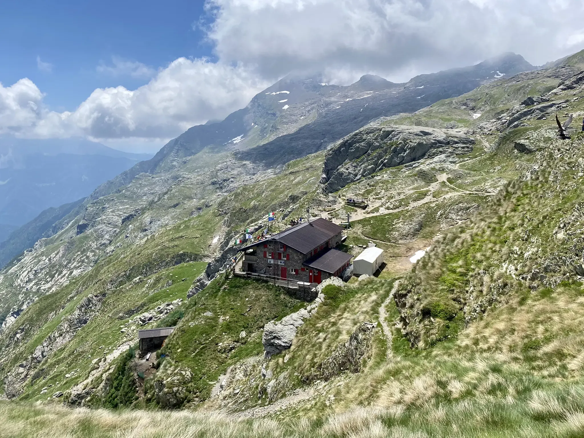
It takes its name from the Alpe di Trona combined with the adjective "soliva" meaning exposed to the sun, i.e. south-facing. It refers to the ancient names of the Bitto pastures, where locations were distinguished as "soliva" and "vaga" (i.e. north-facing). Depending on the exposure, the quality of the pastures varied, and for that reason the difference between soliva and vaga was very important.
1
0

A beautiful Alpine lake where you can spend time sunbathing or taking a dip. The lower lake has a beautiful flat area towards the last section or on the stone slabs just before.
0
0

From here you can enjoy a spectacular view of the three Porcile lakes
0
0
Stunning Alpine lakes, among the most beautiful in the area
0
0

cross reachable with an easy path (about 10 minutes from the hut), enjoys an excellent view of the valley
0
0

We weren't expecting a tunnel on the tour, really funny. The tunnel was built in 1933 and served as access to one or more mills.
0
0
The bridge is not the newest anymore, but you can walk across it and it is not closed. However, I wouldn't stand on it with a whole bus tour group and rock back and forth, it doesn't look that stable 😳😬😉
0
0

Frequently Asked Questions
How many bus station hiking trails are available in Parco Delle Orobie Valtellinesi?
There are nearly 300 hiking trails in Parco Delle Orobie Valtellinesi that are accessible from bus stations. The komoot community has rated these routes highly, with an average score of 4.5 stars, indicating a great experience for most hikers.
Are there easy hiking trails accessible by bus in Parco Delle Orobie Valtellinesi?
Yes, the park offers around 70 easy hiking trails that you can reach by bus. These routes often wind through lush coniferous and deciduous forests, alongside streams, and past alpine meadows, providing a gentle introduction to the region's beauty. Look for trails with minimal elevation gain for a relaxed experience.
What about more challenging bus-accessible hikes in the park?
For experienced hikers, there are nearly 100 difficult trails accessible by bus. These routes often lead to higher elevations, offering breathtaking panoramic views of the Orobie Alps. An example is the CamminaForeste: Stage 6C Loop, which covers over 17 km with significant elevation changes.
Are there family-friendly bus-accessible hikes in Parco Delle Orobie Valtellinesi?
Many of the easier trails are suitable for families. These routes often feature well-maintained paths through forests and meadows, sometimes leading to small lakes or scenic viewpoints. The diverse ecosystems, including streams and small bogs, can be engaging for children. Always check the specific trail details for distance and elevation to ensure it matches your family's capabilities.
Can I bring my dog on these bus station hiking trails?
Generally, dogs are welcome on trails in Parco Delle Orobie Valtellinesi, but it's crucial to keep them on a leash to protect the local wildlife, such as chamois, ibex, deer, and the rare wood grouse. Always check specific trail regulations, especially in protected areas or near mountain refuges, as rules may vary.
Are there circular hiking routes starting from bus stations?
Yes, there are several circular routes that allow you to start and end your hike at the same bus stop. For instance, the Bridges Trail – Wooden Bridge Over the Gorge loop from Tartano is a moderate circular option, offering a unique experience. Another is the challenging Porcile Lakes – Tartano Pass loop from Tartano.
What natural features or landmarks can I see along bus-accessible trails?
The park is rich in natural beauty. Depending on your chosen route, you might encounter stunning peaks like Monte Legnone Summit or Pizzo dei Tre Signori. Many trails also lead to picturesque mountain passes such as Dordona Pass or Tartano Pass, and serene lakes like Lake Pescegallo. The region's diverse ecosystems include crags, rocky screes, alpine meadows, and dense forests.
What is the best time of year to hike from bus stations in Parco Delle Orobie Valtellinesi?
The best time largely depends on your preferred activity. Spring offers beautiful alpine blooming, while summer is ideal for trekking and guided tours, with pleasant temperatures. Autumn transforms the landscape with vibrant forest colors and is excellent for wildlife spotting. Winter provides opportunities for snowshoeing and ski mountaineering, though some bus services might be reduced, so check schedules in advance.
Are there mountain refuges or places to eat near bus-accessible trails?
Yes, the park is dotted with numerous mountain refuges that provide essential stops for hikers, offering food, drink, and sometimes accommodation. Refuges like Monte Legnone, Trona Soliva, and Passo San Marco are popular choices. These are great places to sample local cuisine and rest during longer treks. Always check their opening times, especially outside of peak season.
Are there any long-distance hikes that can be started from a bus station?
While many routes are day hikes, some bus-accessible points can serve as starting points for sections of longer treks. The Gran Via delle Orobie (GVO), a significant 130 km mountain route, has various access points. For a challenging day hike, consider routes like From Gerola Alta to Alpe Aguc, which offers a substantial distance and elevation gain.
Where can I find more information about the Parco Delle Orobie Valtellinesi?
For additional information about the park's natural environment, history, and guided excursions, you can visit the official tourism website for the region: visitasondrio.it. This resource can help you plan your visit and learn more about the diverse offerings of this protected area.
Most popular routes in Parco Delle Orobie Valtellinesi
Most popular attractions in Parco Delle Orobie Valtellinesi

Get inspired with the komoot mobile app


Explore more
Browse the best Hikes in other regions.
