The best mountain hikes in Parco Delle Orobie Valtellinesi
4.7
(20)
181
hikers
13
hikes
Mountaineering routes in Parco Delle Orobie Valtellinesi traverse a diverse and rugged landscape, characterized by peaks exceeding 3000 meters, extensive crags, rock screes, and snow-filled bowls at higher altitudes. Lower elevations feature alpine meadows, coniferous forests, and deciduous woods, interspersed with streams and small lakes. This protected area spans approximately 60 kilometers across 14 valleys, offering varied terrain for mountaineering. Notable summits include Monte Legnone and Pizzo dei Tre Signori, providing significant challenges for experienced climbers.
Best mountaineering routes in Parco Delle Orobie Valtellinesi
- The most popular mountaineering route is Pizzo Meriggio loop from Albosaggia, a 7.8 miles (12.6 km) trail that takes 6 hours 6 minutes to complete. This difficult route offers expansive views from Pizzo Meriggio.
- Another top favourite among local mountaineers is Rifugio Benigni – Cima di Val Pianella loop from Gerola Alta, a difficult 6.7 miles (10.8 km) path. This route leads through high-altitude terrain, passing by the Rifugio Benigni mountain hut.
- Local mountaineers also love the Monte Cadelle – Dordona Pass loop from Foppolo, a 6.9 miles (11.1 km) trail leading through varied mountain terrain and a significant pass, often completed in about 6 hours 6 minutes.
- Mountaineering in Parco Delle Orobie Valtellinesi is defined by high peaks, alpine meadows, and dense forests. The network offers options for both moderate and difficult ability levels, with 7 moderate and 22 difficult routes available.
- The routes in Parco Delle Orobie Valtellinesi are highly rated by the komoot community with an average score of 4.8 stars from more than 70 reviews. More than 600 mountaineers have used komoot to explore Parco Delle Orobie Valtellinesi's varied terrain.
Last updated: May 23, 2026
10
hikers
12.4km
06:05
1,060m
1,060m
Hard mountaineering route. Very good fitness required. Sure-footedness, sturdy shoes and alpine experience required.
5
hikers
13.9km
07:58
1,470m
1,460m
Hard mountaineering route. Very good fitness required. Sure-footedness, sturdy shoes and alpine experience required.

Sign up for free
4.7
(7)
28
hikers
9.93km
04:23
760m
760m
Hard mountaineering route. Good fitness required. Sure-footedness, sturdy shoes and alpine experience required.
4.0
(1)
11
hikers
9.07km
03:05
460m
460m
Moderate mountaineering route. Good fitness required. Mostly accessible paths. Sure-footedness required.
4
hikers
8.39km
04:18
800m
800m
Moderate mountaineering route. Good fitness required. Mostly accessible paths. Sure-footedness required.
Get access to more routes and recommendations from other explorers.
Sign up for free
Already have an account?
Our route recommendations are based on thousands of hikes, rides, and runs completed by other people on komoot.
Start today with a free account
Your next adventure awaits.
Login or Signup
Popular around Parco Delle Orobie Valtellinesi
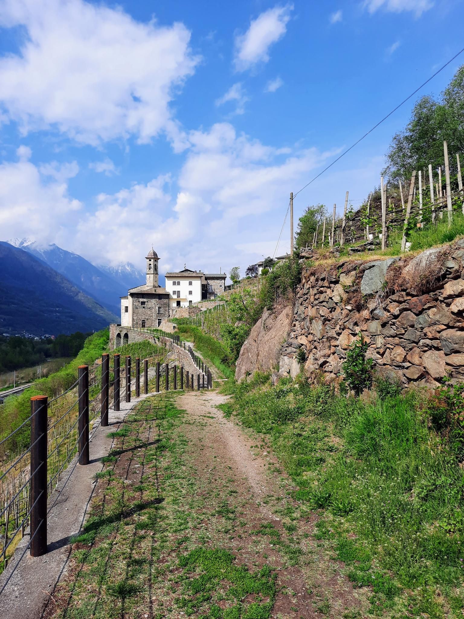
Hike in Valtellina in Italy – CamminaForeste in Lombardy part 5
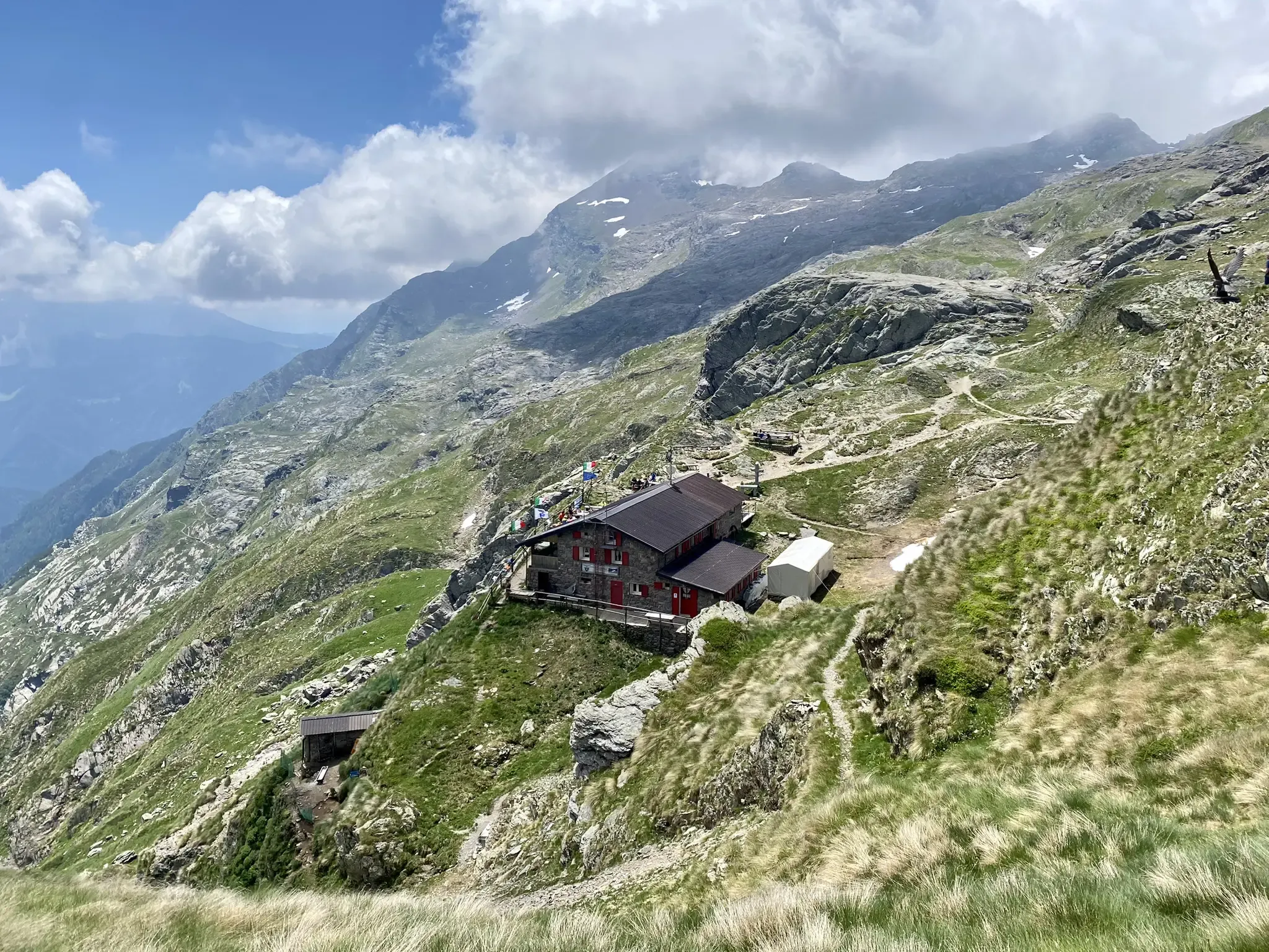
Antonio Curò nature route – two days in the Bergmanesque Alps
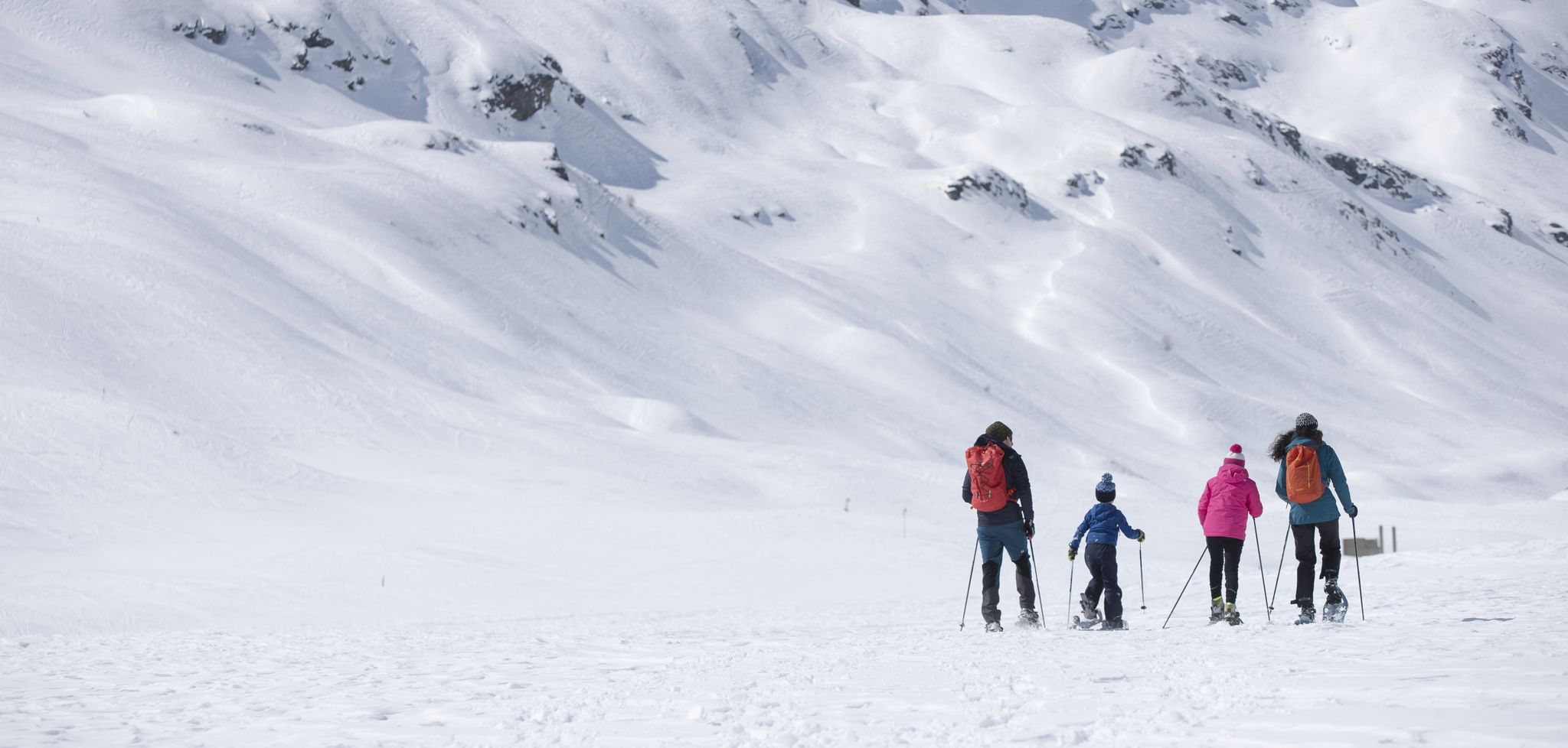
Inverno in Valtellina, a passo lento sulla neve
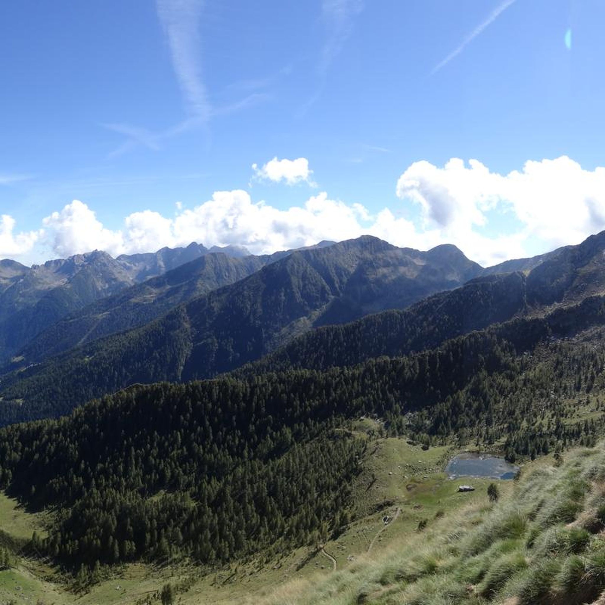
Hiking in Parco Delle Orobie Valtellinesi
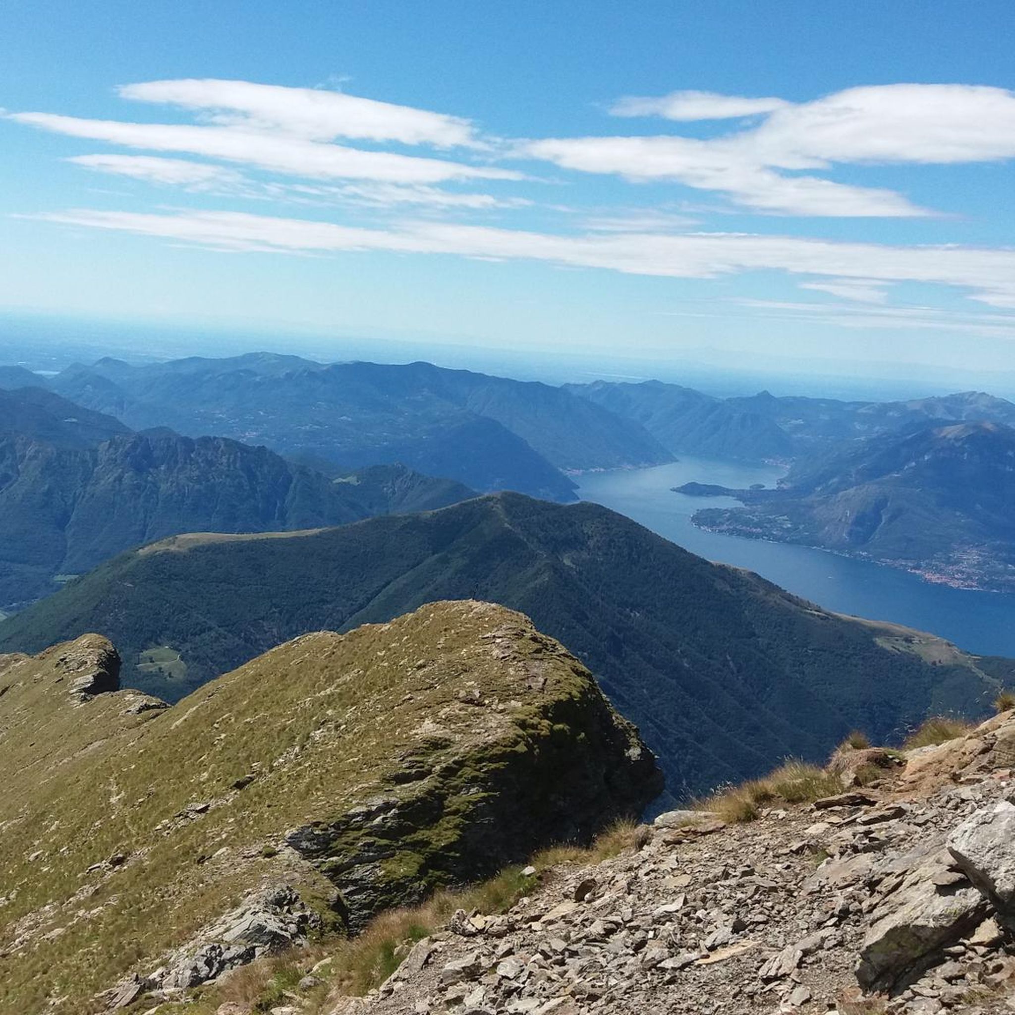
Running Trails in Parco Delle Orobie Valtellinesi
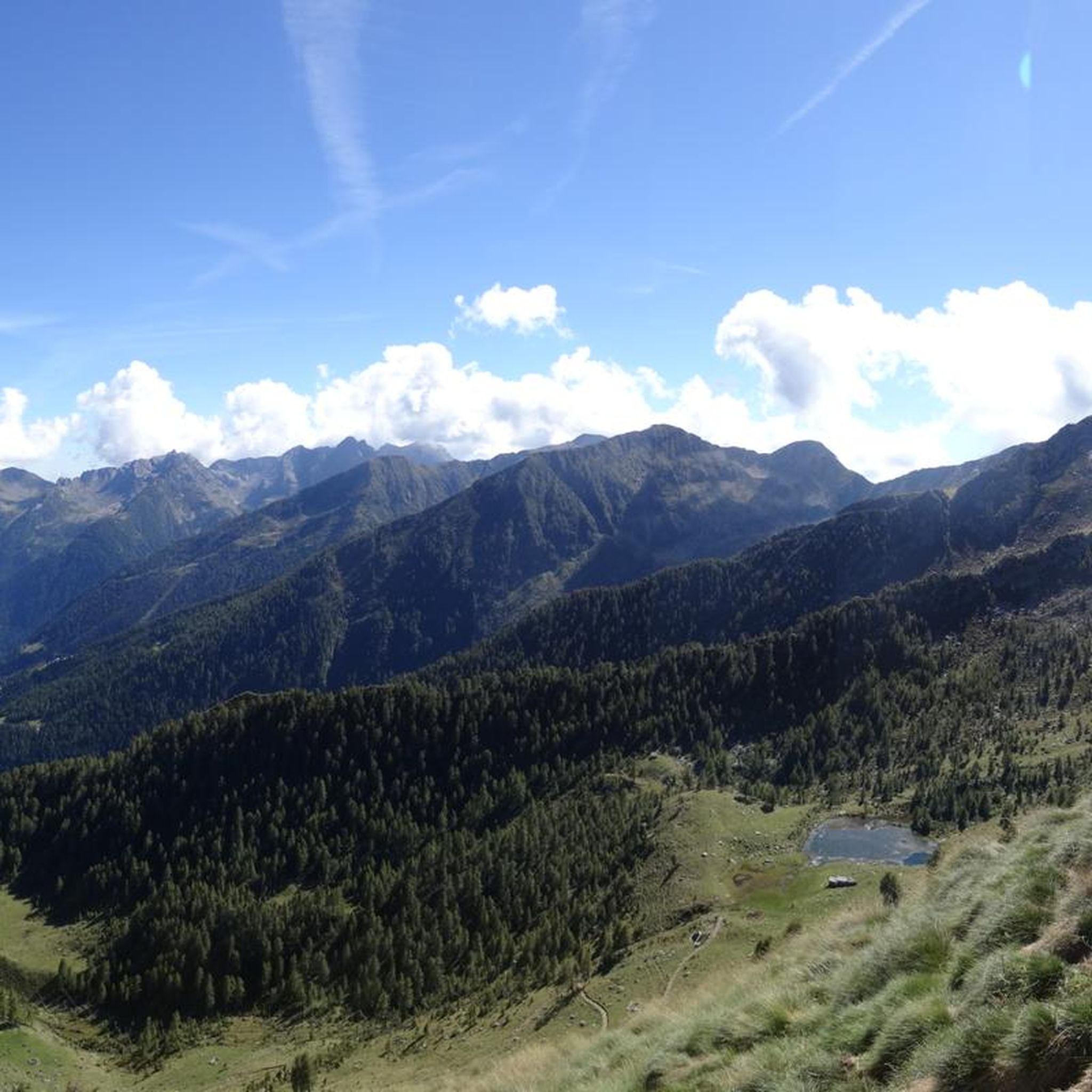
MTB Trails in Parco Delle Orobie Valtellinesi
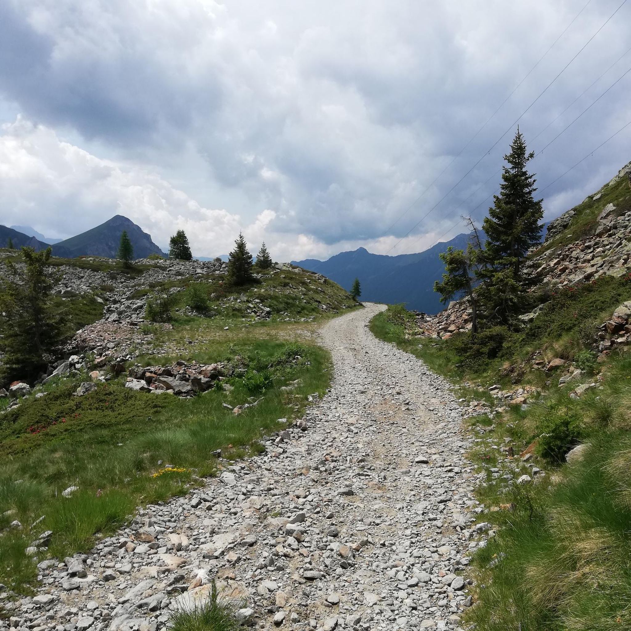
Cycling in Parco Delle Orobie Valtellinesi
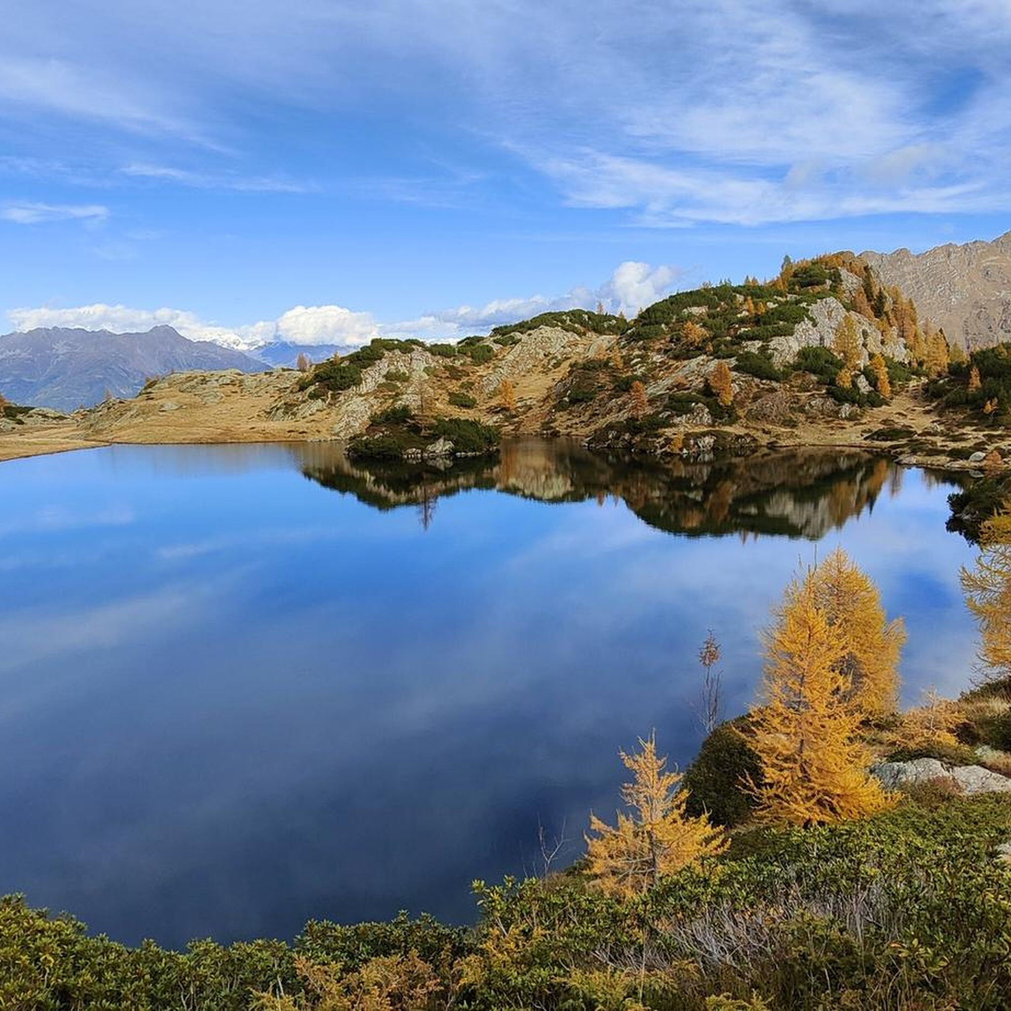
Road Cycling Routes in Parco Delle Orobie Valtellinesi

Gravel biking in Parco Delle Orobie Valtellinesi
Other adventures in Parco Delle Orobie Valtellinesi


Tips from the Community

A passage that may frighten the less experienced but is safe and without major difficulties
0
0
Merelli Refuge at Coca: a rugged and fascinating place in the Orobie Alps The Mario Merelli Refuge at Coca, at 1,891 meters, is one of the most iconic spots in the Coca Valley. Dedicated to the Bergamo mountaineer Mario Merelli, it retains his spirit: essential, authentic, deeply rooted in the mountains. Its location is what immediately strikes you: a natural balcony leading to the basin of the Orobie Giants, dominated by Pizzo Coca, Redorta, Scais, and Porola, a cluster of peaks that creates an imposing and almost solemn amphitheater. The ascent from Valbondione The classic access starts from Valbondione, near the village of Grumetti. The trail climbs steeply from the start, gaining altitude with regular switchbacks. It's a route that many describe as steep but safe, challenging enough to give you a sense of the mountain without ever becoming technical or exposed. Once out of the forest, the valley opens up and the dark walls of the Coca appear; The final, more challenging stretch leads to the refuge, which suddenly appears on a panoramic hill. The effort is always rewarded: those who arrive speak of its astonishing beauty and a setting that remains in their hearts. A refuge that tells a story The Merelli is a base for climbing Pizzo Coca and for crossings to the Brunone and Curò refuges, but it is also a place of memory. Inside, you can feel the legacy of Mario Merelli, and the atmosphere is that of the refuges of old: simple, welcoming, and sincere. It is a refuge that is not reached by chance: it is reached with commitment, and perhaps for this very reason, it leaves a profound impression.
0
0
The Cimon della Bagozza Refuge is located at 1,600 meters above sea level in the beautiful Conca dei Campelli, in the municipality of Schilpario (BG), in the Scalve Valley. It is an ideal destination for hikers, families, and snowshoers, nestled in the so-called "Little Bergamo Dolomites." 🏡 Main Information Management: Cimon della Bagozza Alpine Group – Manager Silvio Visini Phone: 0346 56300 Email: rifugiobagozza@hotmail.it Altitude: 1,600 m Beds: approximately 50 (35 indoors) Cuisine: Traditional Bergamo cuisine – the "Polenta e quel che c'è" menu is famous Open all year round Pets allowed 🥾 How to get there From Fondi di Schilpario: approximately 1 hour on foot, elevation gain +350 m By car: In summer, you can get very close to the refuge by parking in Cimalbosco Trails: CAI 419 and 428, also ideal for families and beginners ❄️ In winter The refuge is open even in the snow and is a perfect destination For: Snowshoeing Hiking with crampons Family weekend in the snow Always check the avalanche bulletin (ARPA Lombardia) before leaving 🌄 What to see nearby Lake Campelli Madonnina dei Campelli Mount Campioncino Don Giulio Corini Bivouac Cimon della Bagozza (2,407 m) – for experienced hikers
0
0
The Madonnina dei Campelli is a small votive statue nestled in the beautiful Conca dei Campelli, in the Schilpario area (Bergamo). It's a popular spot among hikers, not only for its spiritual significance but also for its scenic and evocative location. The Madonnina dei Campelli is a bronze sculpture in the round, created by 🙏 Characteristics and meaning Type: votive statue dedicated to the Madonna Location: along CAI trail 428, near Malga Campelli Bassa, at approximately 1,680 m above sea level Context: located in a clearing between woods and pastures, overlooking Cimon della Bagozza and Pizzo Camino Function: a resting and reflection point for hikers, often associated with moments of meditation or prayer 🥾 How to get there Starting point: from Fondi di Schilpario Route: follow the forest road to the small church of Maria Ausiliatrice and Santa Barbara, then continue on trail 428 Duration: approximately 1.5 hours on foot Difficulty: hiking (E), also suitable for families
0
0
Monte Campioncino is a splendid peak in the Bergamo Prealps, located on the border between Val di Scalve (BG) and Val Camonica (BS), with an altitude of approximately 2,102 meters. 🏔️ Main features Altitude: 2,102 m a.s.l. Location: between the municipalities of Schilpario (BG) and Cerveno (BS) Mountain group: Concarena – Eastern Bergamo Prealps Coordinates: 46°01′59.94″N, 10°15′03.39″E 🚶♂️ Recommended hike Starting point: Cimalbosco locality (Schilpario), altitude 1,580 m Ascent route: from Passo dei Campelli, south side Elevation gain: approximately 520 m (ascent only) Travel time: 1h30 for the ascent, 2h45 total Difficulty: hiking (E), with easy sections (F) on an unmarked trail Recommended period: all year round, also for snowshoeing and ski touring 🌄 Panorama From the summit, you can enjoy a spectacular view of: Presolana Cimon della Bagozza Monte Campione Concarena
0
0
Lago dei Campelli is a small and picturesque alpine lake located in the Conca dei Campelli, in the Scalve Valley, just minutes from the Campione Refuge. It is an ideal destination for hikers seeking a peaceful and scenic spot, surrounded by nature. 🏞️ Characteristics of Lake Campelli Altitude: approximately 1,900 m Access: Reachable on foot from the Campione Refuge in about 10–15 minutes Lake type: Alpine, natural, often fed by snowfields and springs Ambience: Surrounded by pastures, rocks, and overlooking the Piccole Dolomiti Scalvine 🚶♂️ Recommended hike Departure: from Schilpario – Fondi Route: Climb to the Campelli Pass, then to the Campione Refuge, finally detour to the lake Total duration: approximately 2.5–3 hours on foot Difficulty: Hiking (E), also suitable for families with children accustomed to walking
0
0
The Conca dei Campelli is a splendid alpine area located in the Scalve Valley, in the province of Bergamo, bordering the Camonica Valley. It is a true natural jewel, perfect for hiking, snowshoeing, and relaxing days immersed in nature. 🏞️ Characteristics of the Conca dei Campelli Altitude: approximately 1,800–1,900 m Main access: from Schilpario, following the signs for the Vivione Pass and then the Campelli Pass View: surrounded by the Piccole Dolomiti Scalvine, with views of Cimon della Bagozza Points of interest: Rifugio Campione: excellent refreshment point and base for hikes Laghetto dei Campelli: small alpine lake, ideal for a break Madonnina dei Campelli: panoramic and spiritual point 🌿 Recommended activities Summer hiking: trails also suitable for families and children Winter snowshoeing: breathtaking snow-covered landscapes, ideal for snow lovers
0
0

Statue of the Madonna of Campelli
0
0
Frequently Asked Questions
How many mountaineering routes are available in Parco Delle Orobie Valtellinesi?
There are nearly 30 mountaineering routes in Parco Delle Orobie Valtellinesi, offering a range of challenges. You'll find 7 moderate routes and 22 difficult routes, catering to various skill levels.
Are there any family-friendly mountaineering options in Parco Delle Orobie Valtellinesi?
While many routes are challenging, some moderate options might be suitable for families with older children or those accustomed to mountain hiking. For a less strenuous but scenic experience, consider the Chalet Baradello loop from Aprica, which is rated moderate and takes around 4 hours. The region also offers the Osservatorio Eco Faunistico Alpino in Aprica, a great attraction for families to observe local wildlife.
What are some notable peaks or viewpoints to aim for during a mountaineering trip?
The park is home to several prominent peaks offering breathtaking panoramic views. Key summits include Monte Legnone, the highest in the western Orobie Alps, and Pizzo dei Tre Signori. The Pizzo Meriggio loop from Albosaggia also offers expansive views from its summit.
Are there any circular mountaineering routes in the park?
Yes, many of the mountaineering routes in Parco Delle Orobie Valtellinesi are circular. Examples include the Pizzo Meriggio loop from Albosaggia, the Rifugio Benigni – Cima di Val Pianella loop from Gerola Alta, and the Monte Cadelle – Dordona Pass loop from Foppolo.
What kind of wildlife can I expect to see while mountaineering in Parco Delle Orobie Valtellinesi?
Parco Delle Orobie Valtellinesi is rich in wildlife. You might spot ibex, chamois, roe deer, marmots, and foxes. Bird enthusiasts can look out for golden eagles, alpine choughs, and the rare capercaillie. The park's diverse ecosystems, from forests to alpine meadows, provide habitats for a wide array of species.
Are there mountain huts or shelters along the routes for overnight stays or breaks?
Yes, the park is well-equipped with alpine shelters and huts that serve as essential resting points. Notable refuges include the Cesare Benigni Hut and the Nani Tagliaferri Hut. These huts often provide food and accommodation, offering a taste of local hospitality. The Rifugio Benigni – Cima di Val Pianella loop from Gerola Alta, for example, passes directly by a mountain hut.
What is the best time of year for mountaineering in Parco Delle Orobie Valtellinesi?
The best time for mountaineering typically spans from late spring to early autumn (June to September) when trails are generally free of snow at lower to mid-altitudes, and weather conditions are more stable. However, higher peaks and passes may retain snow later into the season. Always check local weather forecasts and trail conditions before heading out.
What are the typical weather conditions like in the park for mountaineering?
Weather in the mountains can change rapidly. Expect cool temperatures, especially at higher elevations, and be prepared for sudden shifts including rain, fog, or even snow, even in summer. Abundant rainfall contributes to the lush vegetation. Always carry appropriate gear for varying conditions.
What do other mountaineers enjoy most about the routes in Parco Delle Orobie Valtellinesi?
The routes in Parco Delle Orobie Valtellinesi are highly rated by the komoot community, with an average score of 4.8 stars. Reviewers often praise the diverse and rugged landscape, the challenging ascents to prominent peaks, and the expansive panoramic views. The presence of well-maintained alpine huts also adds to the positive experience.
Are there any historical or cultural points of interest along the mountaineering trails?
Beyond its natural beauty, the park holds historical significance. You can find remnants of ancient agro-forestry-pastoral activities, old iron mines, and even sections of the Cadorna Line, a defensive system from World War I. The Gran Via delle Orobie (GVO), a multi-day route, specifically traverses some of these historical trenches and mule tracks.
What kind of vegetation can I expect to see at different altitudes?
The park's diverse altitudes offer varied flora. At lower elevations, you'll find lush deciduous and coniferous forests with Norway spruce, silver fir, and beech. As you ascend, these give way to larches and Swiss stone pines. Higher up, alpine meadows burst with vibrant summer blooms, including rhododendrons, junipers, and rare species like Sanguisorba dodecandra.
Most popular routes in Parco Delle Orobie Valtellinesi
Most popular attractions in Parco Delle Orobie Valtellinesi

Get inspired with the komoot mobile app


Explore more
Browse the best Mountain Hikes & Routes in other regions.
