The best hikes from bus stations in Parc Naturel Régional De L'Aubrac
4.5
(2586)
16,672
hikers
14
hikes
Bus station hiking trails in Parc Naturel Régional De L'Aubrac traverse a landscape shaped by volcanic activity, featuring vast plateaus, verdant valleys, and dense forests. The region is characterized by expansive grasslands, carved river valleys like the Lot and Truyère, and numerous water features including lakes and waterfalls. Hikers encounter a diverse terrain ranging from open pastures to ancient woodlands and bogs.
Best bus station hiking trails in Parc Naturel Régional De L'Aubrac
- The most popular bus station hiking route…
Last updated: July 9, 2026
4.4
(5)
50
hikers
13.2km
03:43
270m
280m
Moderate hike. Good fitness required. Easily-accessible paths. Suitable for all skill levels.
4.1
(8)
24
hikers
14.2km
04:09
360m
360m
Moderate hike. Good fitness required. Easily-accessible paths. Suitable for all skill levels.

Sign up for free
4.0
(2)
32
hikers
Moderate hike. Good fitness required. Easily-accessible paths. Suitable for all skill levels.
5.0
(3)
22
hikers
4.11km
01:05
40m
40m
Easy hike. Great for any fitness level. Easily-accessible paths. Suitable for all skill levels.
3.0
(1)
17
hikers
Easy hike. Great for any fitness level. Easily-accessible paths. Suitable for all skill levels.
Get access to more routes and recommendations from other explorers.
Sign up for free
Already have an account?
Our route recommendations are based on thousands of hikes, rides, and runs completed by other people on komoot.
Start today with a free account
Your next adventure awaits.
Login or Signup
Popular around Parc Naturel Régional De L'Aubrac
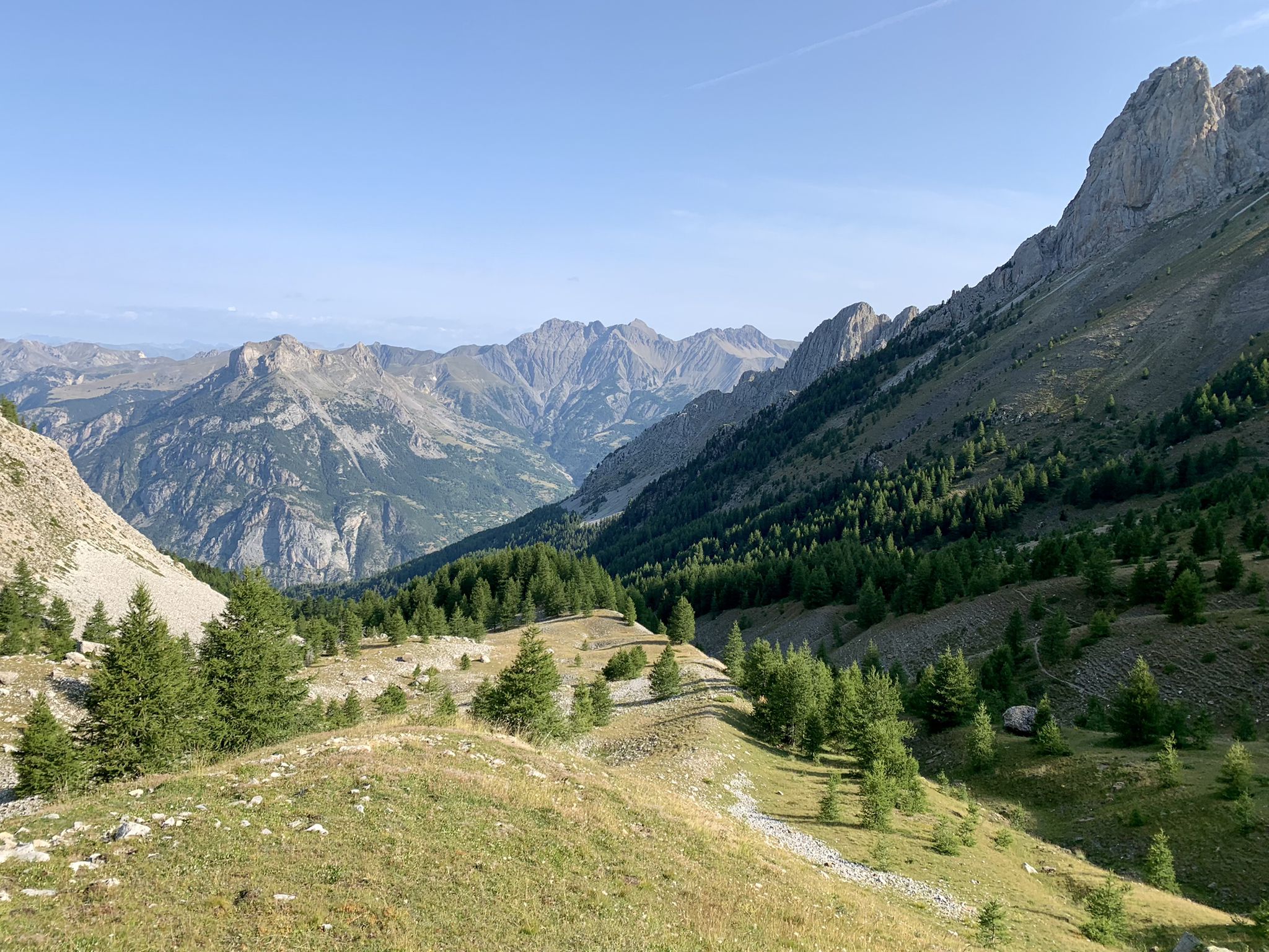
From the Alps to the Atlantic — GR 6
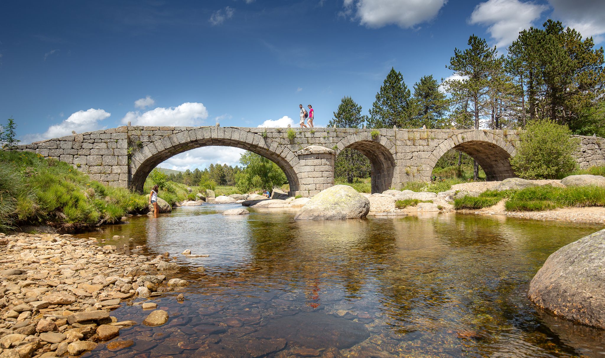
The most beautiful walks in Lozère
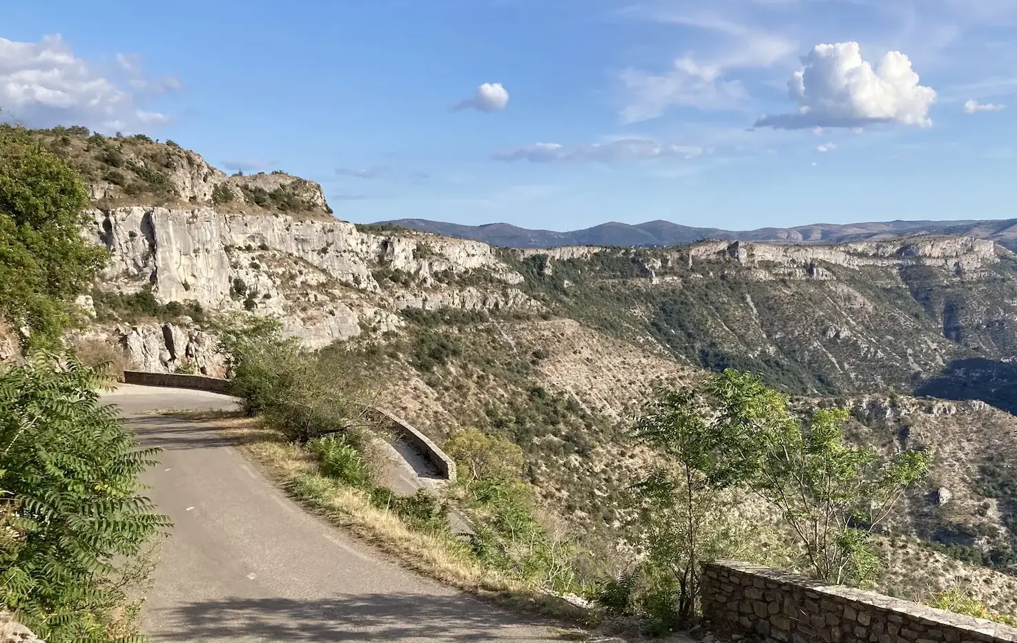
From north to south - On the slopes of the GTMC
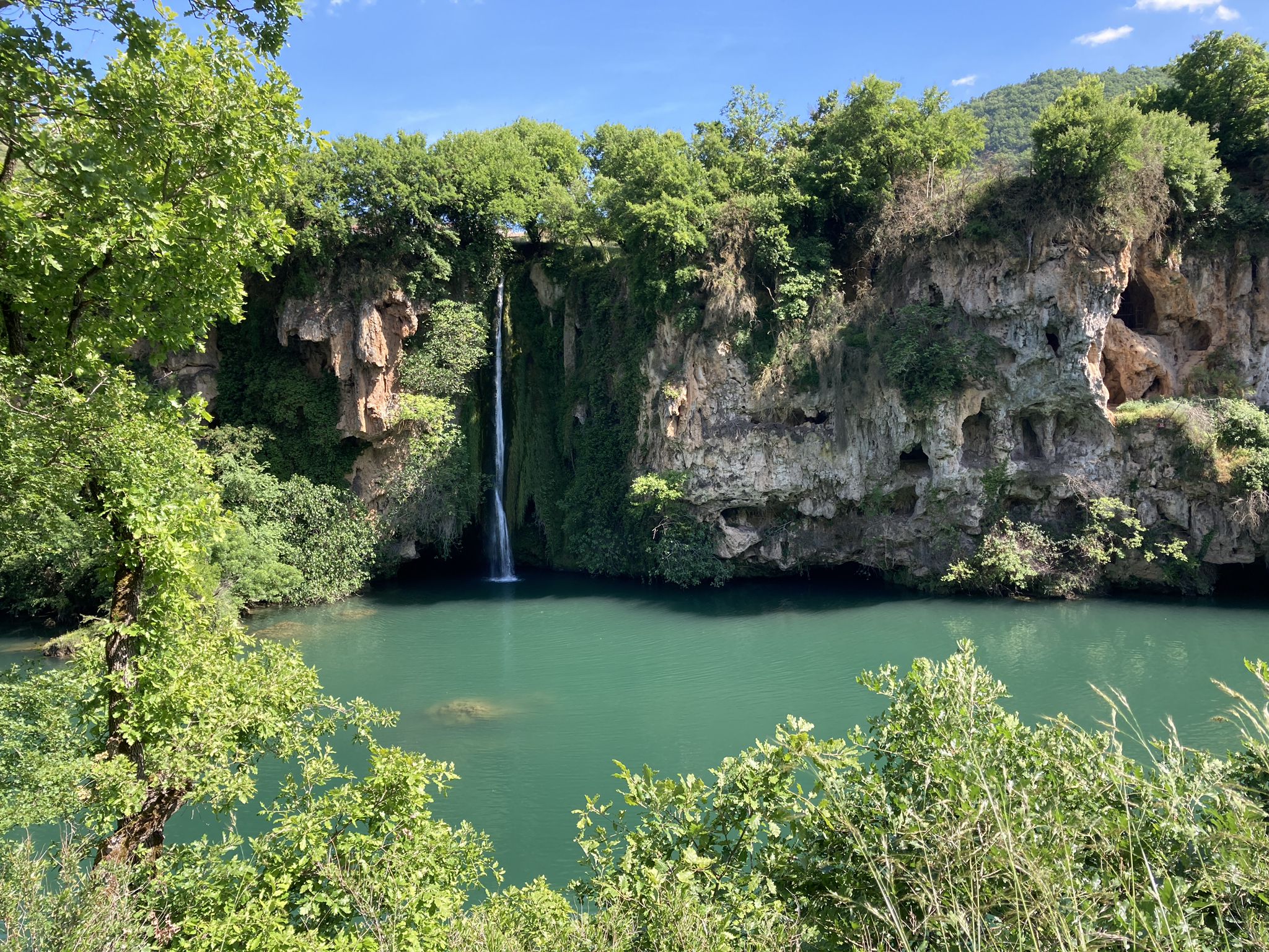
The sound of water – gravel and waterfalls in Aveyron
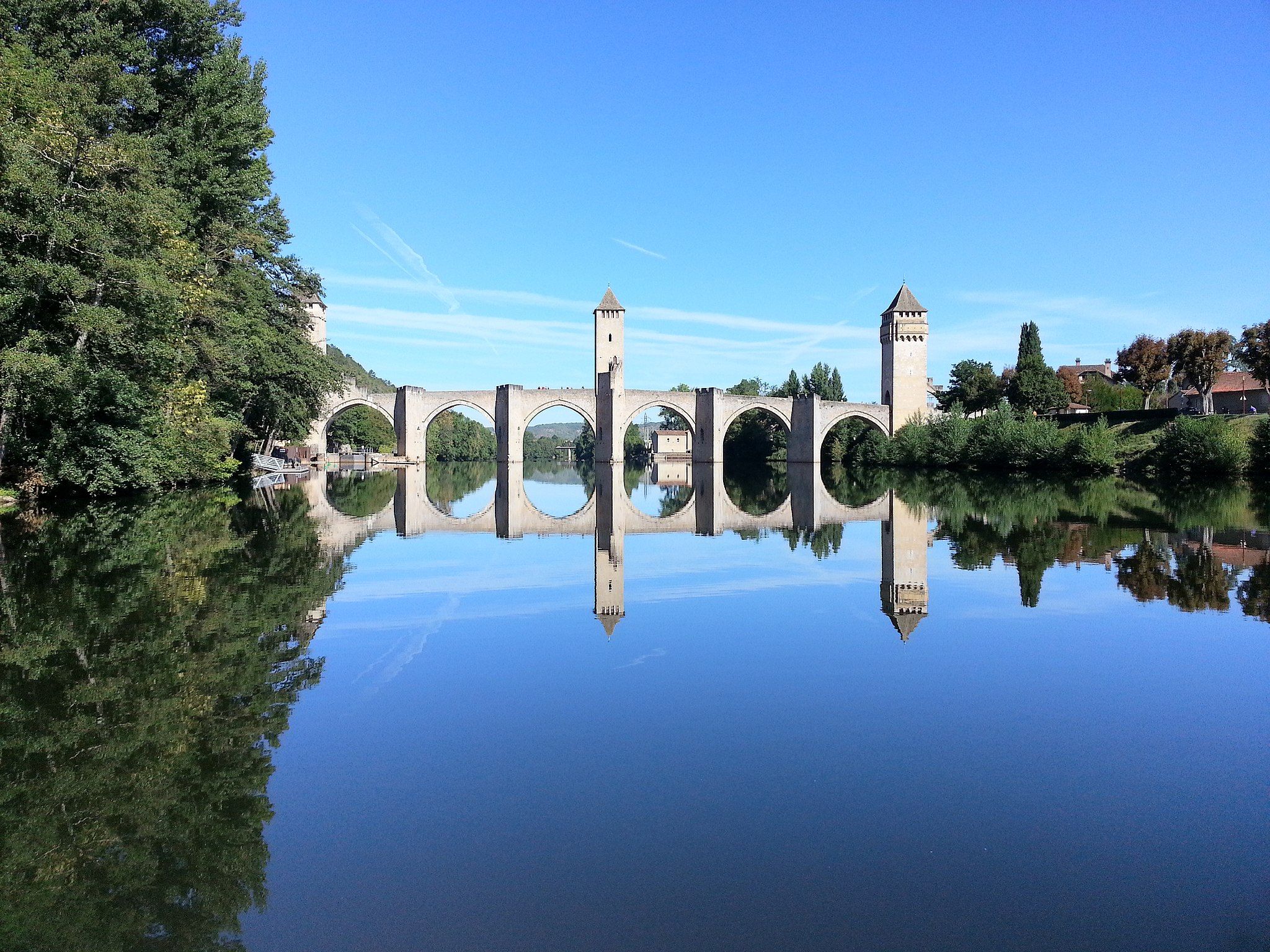
Along water and time – France’s Lot Valley Véloroute
The Way of Saint James – France’s Way of Le Puy

‘La Joyeuse Vadrouille’ – two months cycling with the family
Other adventures in Parc Naturel Régional De L'Aubrac


Tips from the Community

beautiful bridge that will take you to the castle of the Valérie Giscard d'Estaing family
0
0


Enjoy the panoramic views over Estaing and the Verrières de Sebrazac valley, along a lovely wide and easy path, add a little extra bit of the St. James Way, and the loop is nicely completed 👍
0
0

Magnificent in the morning sun on the way to Le Puy
1
0

According to ancient tradition, a procession takes place every year in honor of Saint Fleuret (Fleuregius), in which the bust and the reliquary are solemnly carried around.
1
0

A place worth seeing, I'll go inside tomorrow. Okay, only worth seeing from a distance, the church on the hill is quite pretty. But the large main road and the huge parking lot in the city center didn't encourage me to take a longer break. I've seen other beautiful places.
0
0


really typical bridge but with a cross and a statue facing each other
0
0
Frequently Asked Questions
How many bus-accessible hiking trails are available in Parc Naturel Régional De L'Aubrac?
There are 14 bus-accessible hiking trails in Parc Naturel Régional De L'Aubrac featured in this guide, offering a variety of experiences for different skill levels.
Are there easy bus-accessible hikes suitable for beginners or families?
Yes, there are 4 easy bus-accessible hikes. A great option is the Estaing – Saint-Fleuret Church loop from Estaing, which is just over 4 km long with minimal elevation gain, perfect for a relaxed outing.
What kind of landscapes can I expect on these bus station hikes?
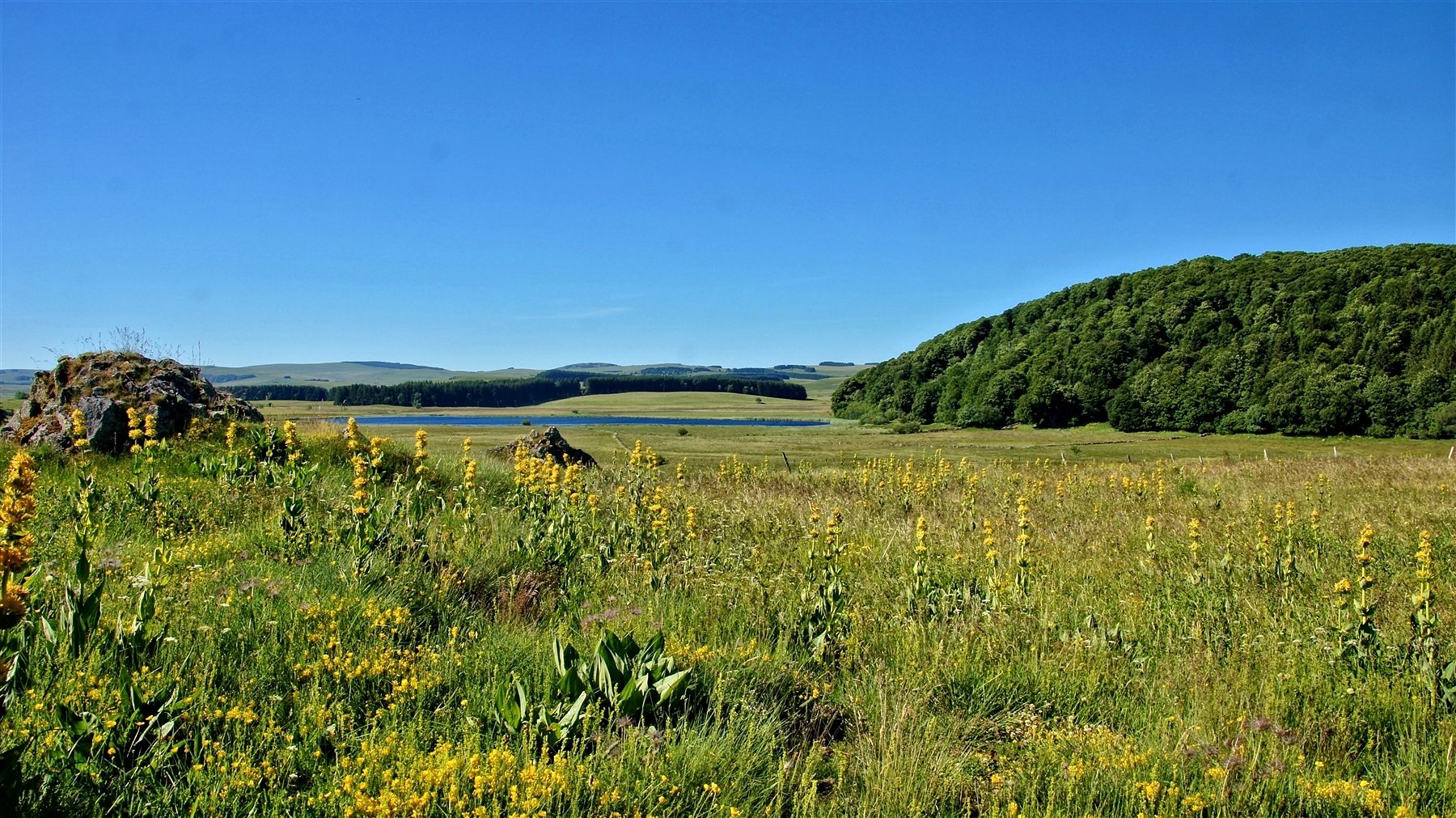
The bus-accessible hikes in Parc Naturel Régional De L'Aubrac offer a diverse range of landscapes. You'll encounter the expansive, open grasslands of the Aubrac plateau, verdant valleys carved by rivers like the Lot, and charming forests. The region is known for its 'land of contrasts' shaped by ancient volcanic activity.
Are there any circular routes starting from bus stations?
Yes, many of the bus-accessible routes are circular. For example, the Laguiole, capital of the Aubrac – Laguiole Village loop from Laguiole offers a moderate 13 km circular hike, allowing you to explore the area without needing to retrace your steps.
What interesting sights or natural features can I see along bus-accessible routes?
Many bus-accessible routes pass by significant landmarks and natural features. You might encounter historical sites like the Pilgrims' Bridge of Saint-Chély-d'Aubrac, or natural wonders such as the Cascade du Déroc waterfall. The park's agropastoral heritage is also visible through traditional 'burons' (shepherd's huts) and 'drailles' (old cattle tracks).
Which villages are good starting points for bus-accessible hikes?
Villages like Laguiole, Estaing, and Saint-Geniez-d'Olt serve as excellent starting points for bus-accessible hikes. These villages often have bus stops and offer access to various trails. For instance, you can start the Saint-Geniez-d'Olt Riverside – Les Pessoles loop from Saint-Geniez-d'Olt directly from Saint-Geniez-d'Olt.
What is the best time of year to hike from bus stations in Parc Naturel Régional De L'Aubrac?
The best times for hiking in Parc Naturel Régional De L'Aubrac are during spring (April-May) and autumn (September-October). During these periods, temperatures are mild, the vegetation is lush, and the trails are generally less crowded, offering a more pleasant experience.
Are there any waterfalls accessible via bus station hikes?
Yes, the region is home to stunning waterfalls. The impressive Cascade du Déroc and the View of the Saut du Chien waterfall are notable natural attractions that can be incorporated into your hiking plans, often accessible from nearby villages.
What do other hikers say about the bus-accessible trails in Parc Naturel Régional De L'Aubrac?
The bus-accessible trails in Parc Naturel Régional De L'Aubrac are highly rated by the komoot community, with an average score of 4.5 stars from over 2,300 ratings. Hikers often praise the diverse landscapes, the tranquility of the plateaus, and the charm of the villages along the routes.
Are there longer, more challenging bus-accessible hikes for experienced hikers?
While most bus-accessible routes in this guide are moderate, there is one difficult route. The region also features sections of renowned long-distance routes like the GR®65 (Way of St. James) and the 'Tour des Monts d'Aubrac,' which can be accessed from various villages and offer more challenging multi-day options.
Where can I find refreshments or accommodation near these bus-accessible trails?
Charming villages like Aubrac, Saint-Chély-d'Aubrac, and Laguiole, which serve as starting points for many bus-accessible hikes, offer various services including cafes, restaurants, and accommodation options. These villages are well-equipped to support hikers.
Are there any UNESCO World Heritage sites accessible from bus stations?
Yes, parts of the Way of St. James (GR®65 and Via Podiensis) traverse the park, including the Pilgrims' Bridge in Saint-Chély-d'Aubrac, which are recognized as UNESCO World Heritage sites. These historical routes are often accessible from villages with bus connections.
Most popular routes in Parc Naturel Régional De L'Aubrac
Most popular attractions in Parc Naturel Régional De L'Aubrac

Get inspired with the komoot mobile app


Explore more
Browse the best Hikes in other regions.
