Easy hikes and walks in Parc Naturel Régional De L'Aubrac
4.5
(2581)
16,663
hikers
487
hikes
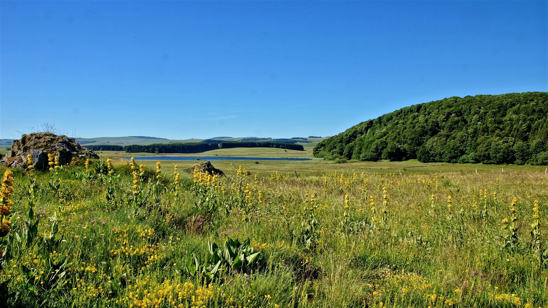
Easy hiking trails in Parc Naturel Régional De L'Aubrac traverse a diverse landscape characterized by the high Aubrac Plateau, expansive pastures, and ancient beech and fir forests. The region features glacial lakes, dramatic gorges of the Truyère River, and the Lot Valley. This "land of contrasts" offers varied terrain suitable for accessible walks.
Best easy hiking trails in Parc Naturel Régional De L'Aubrac
- The most popular easy hiking route is Saut du Chien Loop, a 3.2 miles (5.1 km)…
Last updated: July 7, 2026
4.7
(32)
204
hikers
5.09km
01:26
100m
100m
Easy hike. Great for any fitness level. Easily-accessible paths. Suitable for all skill levels.
4.8
(25)
200
hikers
Easy hike. Great for any fitness level. Easily-accessible paths. Suitable for all skill levels.

Sign up for free
4.5
(27)
144
hikers
Easy hike. Great for any fitness level. Easily-accessible paths. Suitable for all skill levels.
4.5
(6)
26
hikers
6.15km
01:47
150m
150m
Easy hike. Great for any fitness level. Easily-accessible paths. Suitable for all skill levels.
4.0
(3)
16
hikers
4.41km
01:13
80m
80m
Easy hike. Great for any fitness level. Easily-accessible paths. Suitable for all skill levels.
Get access to more routes and recommendations from other explorers.
Sign up for free
Already have an account?
Our route recommendations are based on thousands of hikes, rides, and runs completed by other people on komoot.
Start today with a free account
Your next adventure awaits.
Login or Signup
Popular around Parc Naturel Régional De L'Aubrac
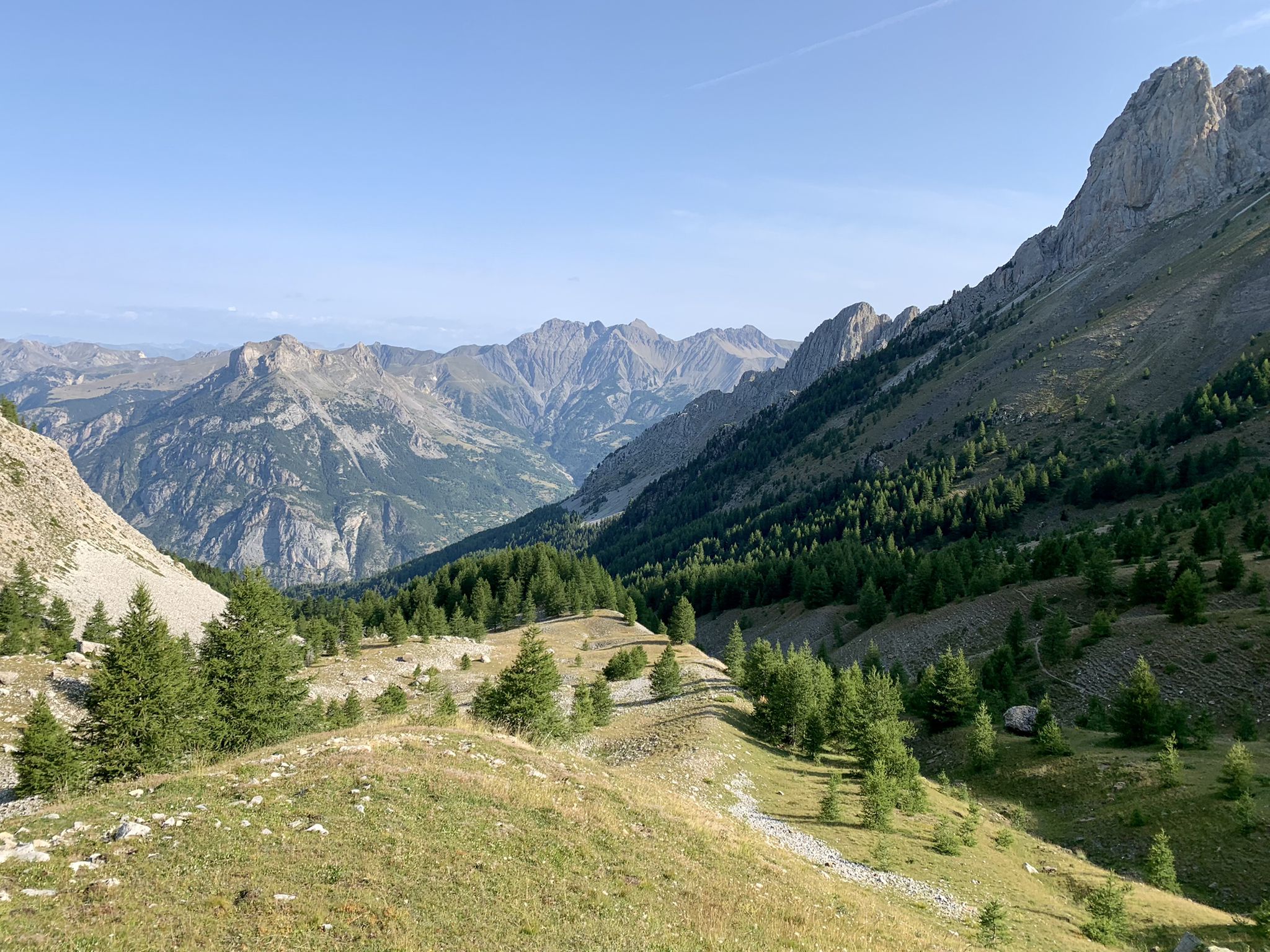
From the Alps to the Atlantic — GR 6
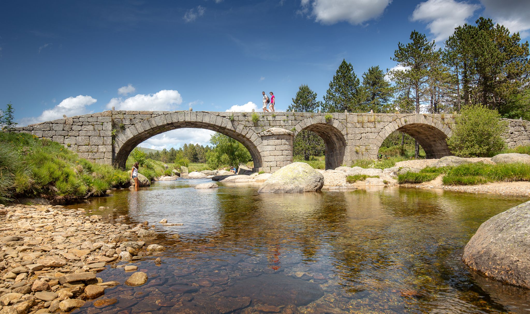
The most beautiful walks in Lozère
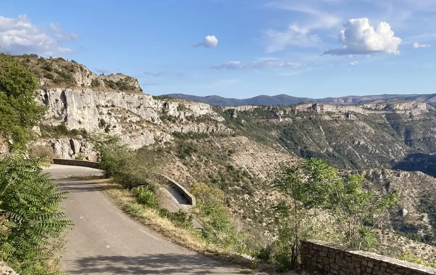
From north to south - On the slopes of the GTMC
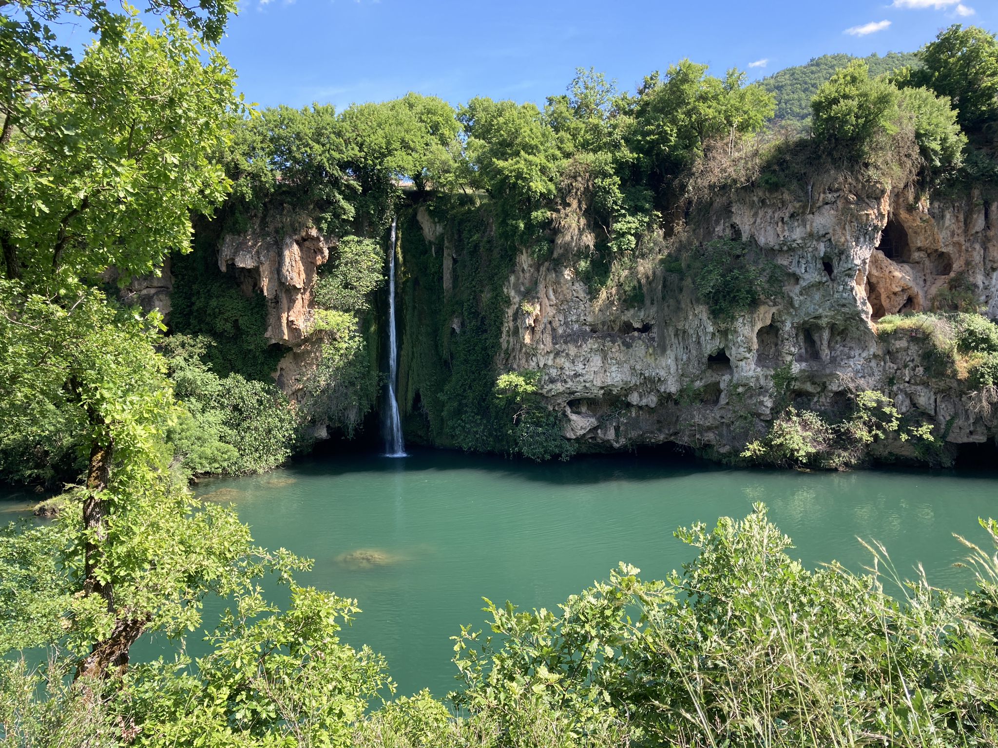
The sound of water – gravel and waterfalls in Aveyron
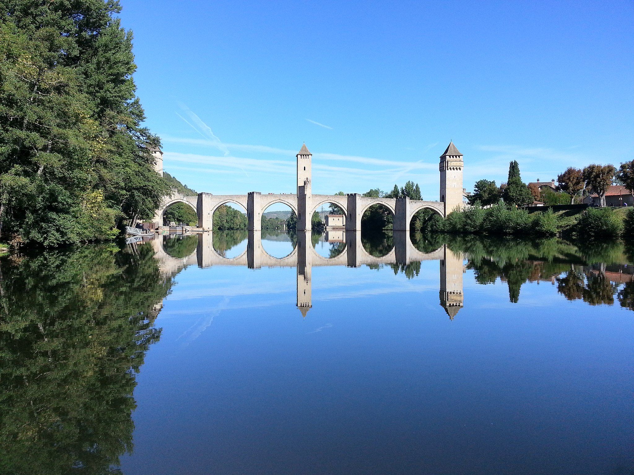
Along water and time – France’s Lot Valley Véloroute
The Way of Saint James – France’s Way of Le Puy

‘La Joyeuse Vadrouille’ – two months cycling with the family
Other adventures in Parc Naturel Régional De L'Aubrac


Tips from the Community

Very pretty hike. Be careful when it's hot! Very steep little path with a sheer drop. More significant elevation gain, on another app (+-314m). In my opinion, a walk to be classified as moderate
0
0

CIRCUIT FORBIDDEN TO DOGS even on a leash… an absolute disgrace… we went miles to get here!!! First of all it’s unacceptable on the part of the department and then Komoot, what are you waiting for to clarify that??!!
0
0

Pleasant hiking trail, beautiful waterfall, forest, magnificent viewpoint
1
1

Beautiful waterfall, few people visit it. Calm.
0
0

30 meters high, the Devèz waterfall is also called the "Salt de la Gleiso" waterfall, named after a nearby cave. The clear waters of the Dourtigouse stream flow from the top of the volcanic rock, offering this magnificent spectacle to walkers.
0
0
From the platform, you have a breathtaking view of the dog jump waterfall. This one owes its name to the shape of a granite rock on which it flows.
0
0
Frequently Asked Questions
How many easy hiking trails are available in Parc Naturel Régional De L'Aubrac?
Parc Naturel Régional De L'Aubrac offers a wide selection of easy hiking trails, with over 150 routes specifically categorized as easy. In total, the park features nearly 500 marked trails suitable for various levels.
What is the best time of year for easy hikes in Parc Naturel Régional De L'Aubrac?
The best seasons for hiking in Parc Naturel Régional De L'Aubrac are spring (April-May) and autumn (September-October). During these months, you'll experience mild temperatures and vibrant scenery, making for comfortable and picturesque easy walks.
Are there any easy circular walks in Parc Naturel Régional De L'Aubrac?
Yes, many easy trails in the region are circular. For example, the Saut du Chien Loop is a popular 5.1 km (3.2 miles) route, and Chanteloube – Loop above Lanau offers a 6.15 km (3.8 miles) easy circuit.
Can I find trails with waterfalls in Parc Naturel Régional De L'Aubrac?
Absolutely. The region is known for its natural waterfalls. You can explore routes like the Cascade du Devèz and Fosse à loup - short loop, which leads to a waterfall. Other notable waterfalls include Cascade du Déroc and the View of the Saut du Chien waterfall.
What kind of terrain can I expect on easy hikes in Parc Naturel Régional De L'Aubrac?
Easy hikes in Parc Naturel Régional De L'Aubrac typically feature varied terrain, including expansive pastures, ancient beech and fir forests, and paths along river valleys. The high Aubrac Plateau offers iconic scenery, while areas like the gorges of the Truyère River provide dramatic landscapes. Trails are generally well-maintained and suitable for accessible walks.
Are there any particularly flat easy trails suitable for beginners or those seeking minimal elevation gain?
Yes, for those seeking very minimal elevation, the Montgros - Le Ché Loop is an excellent option. This 4.1 km (2.5 miles) route has an elevation gain of only about 25 meters, making it one of the flattest easy trails available.
What natural features can I see along the easy hiking trails?
Beyond the vast pastures and forests, easy trails often lead to glacial lakes, dramatic river gorges like those of the Truyère and Bès rivers, and unique geological formations such as the Basalt Columns of the Ruisseau des Plèches. The region also protects rare natural environments like peat bogs.
Are there any historic villages or cultural landmarks accessible on easy hikes?
Many easy trails pass near or through historic villages. Saint-Chély-d'Aubrac, a UNESCO World Heritage site, is a key hub for hikers. The village of Aubrac, perched at 1,300 meters, features the remains of the Dômerie d'Aubrac and a botanical garden. You might also encounter traditional stone shepherd huts, known as burons, some converted into inns.
What do other hikers say about the easy trails in Parc Naturel Régional De L'Aubrac?
The easy trails in Parc Naturel Régional De L'Aubrac are highly regarded by the komoot community, with an average rating of 4.5 stars from over 1,500 reviews. Hikers often praise the diverse and striking landscapes, the peaceful atmosphere, and the well-marked paths that make exploring the region enjoyable for all skill levels.
Are there any easy trails that explore the gorges of the Bès river?
Yes, the The gorges of Bès – loop starting from Morsanges – Aubrac regional natural park is an easy 6.6 km (4.1 miles) path that specifically explores the dramatic gorges of the Bès river, offering scenic views with a moderate ascent of about 170 meters.
Are there places to stop for refreshments or find accommodation near easy hiking routes?
Yes, the region has several options. Traditional burons (shepherd huts) have been converted into inns or museums where you can sample local specialties. You can also find cafes and guesthouses, such as Café-Bar Aligot Relais des Lacs Bonnecombe or La Source Gilhodes Guesthouse and Refreshments, often located in or near villages that serve as trailheads.
Most popular routes in Parc Naturel Régional De L'Aubrac
Most popular attractions in Parc Naturel Régional De L'Aubrac

Get inspired with the komoot mobile app


Explore more
Browse the best Hikes in other regions.
