The best hikes from bus stations in Nsg Nordausläufer Westerberg
4.6
(13559)
59,303
hikers
821
hikes
Bus station hiking trails in Nsg Nordausläufer Westerberg traverse a diverse and structurally rich cultural landscape in the Mainz-Bingen district. This nature reserve features open sand areas, sand grasslands, and varied vegetation including hedges and tree groups. Hikers will encounter traditional orchards and areas of natural succession, contributing to the region's ecological diversity. The topography includes sunken paths and gentle elevation changes, making it suitable for various hiking experiences.
Best bus station hiking trails in Nsg Nordausläufer Westerberg
- The most…
Last updated: July 9, 2026
4.7
(47)
220
hikers
6.35km
01:39
40m
40m
Easy hike. Great for any fitness level. Easily-accessible paths. Suitable for all skill levels.
4.9
(13)
29
hikers
Easy hike. Great for any fitness level. Easily-accessible paths. Suitable for all skill levels.

Sign up for free
5
hikers
7.92km
02:13
150m
150m
Moderate hike. Good fitness required. Easily-accessible paths. Suitable for all skill levels.
4.5
(2)
11
hikers
Hard hike. Very good fitness required. Easily-accessible paths. Suitable for all skill levels.
16
hikers
Easy hike. Great for any fitness level. Easily-accessible paths. Suitable for all skill levels.
Get access to more routes and recommendations from other explorers.
Sign up for free
Already have an account?
Our route recommendations are based on thousands of hikes, rides, and runs completed by other people on komoot.
Start today with a free account
Your next adventure awaits.
Login or Signup
Popular around Nsg Nordausläufer Westerberg
Other adventures in Nsg Nordausläufer Westerberg


Tips from the Community

A true place of power amidst the vineyards: The Jakobsberg Monastery combines impressive distant views with a special spiritual atmosphere. Those who take a break here will be rewarded with peace, vastness, and beautiful views over the Rhine Valley.
2
0
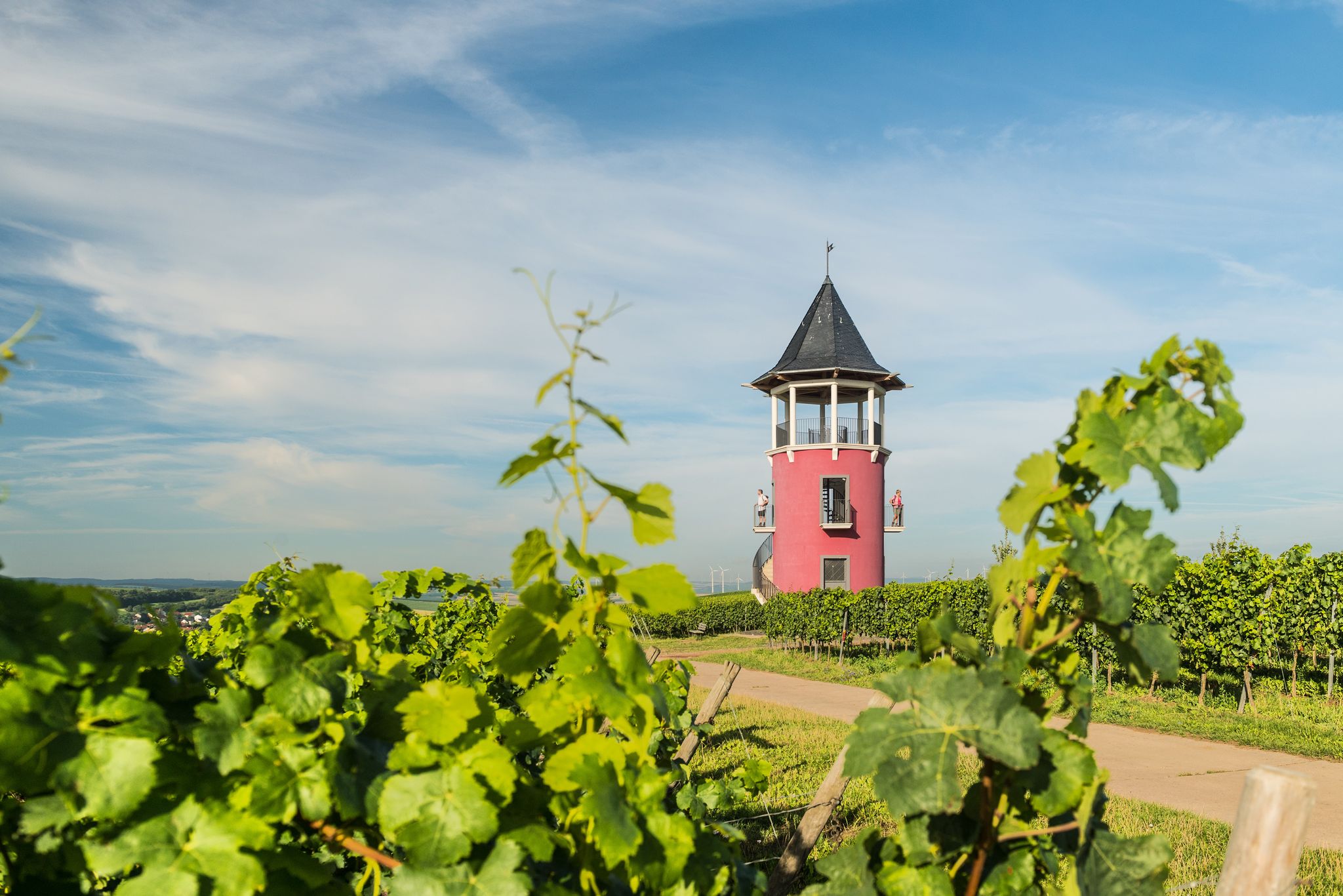
The Johannisberger Türmchen is a real box seat above the vineyards. From here, the view stretches far over the Rhine Valley to the Taunus – especially on a clear day, an impressive panorama. The sky swing makes the spot a perfect place for a break, to enjoy the view, and for beautiful souvenir photos.
1
0
The sky swing at Laurenzberg is a beautiful viewpoint with a wide view over the vineyards to the Rheingau. A perfect place for a short break, to catch your breath, and for great photos – the detour is especially worthwhile at sunset.
1
0

A striking Bismarck Tower stands above the vineyards.
1
0
Nature reserve with a great view of the vineyards and Ingelheim.
1
0
Great idea with the wine vending machine right next to the rest area.
1
0

An ideal rest stop with panoramic views stretching as far as the Rheingau region. Local history quiz – what are the names of the places from left to right?
0
0

Frequently Asked Questions
How many bus station hiking trails are available in Nsg Nordausläufer Westerberg?
There are over 800 hiking routes in Nsg Nordausläufer Westerberg that are accessible from bus stations. This includes a wide variety of trails, with more than 500 considered easy, 280 moderate, and a few more challenging options.
What kind of terrain can I expect on bus station hikes in Nsg Nordausläufer Westerberg?
The Nsg Nordausläufer Westerberg offers a diverse landscape. You'll encounter open sand areas, sand grasslands, traditional orchards, and near-natural groves. Many routes also feature historical sunken paths (Hohlwege), adding to the unique character of the terrain.
Are there family-friendly hiking options accessible by bus in Nsg Nordausläufer Westerberg?
Yes, many of the bus station accessible trails are suitable for families. Routes like the Selztal Runde offer relatively flat terrain and shorter distances, making them ideal for a leisurely family outing. The region's diverse habitats also provide interesting natural features for children to explore.
Can I bring my dog on bus station hikes in Nsg Nordausläufer Westerberg?
Generally, dogs are welcome on trails in Nsg Nordausläufer Westerberg. However, it's always recommended to keep them on a leash, especially in nature reserve areas to protect local wildlife and plants. Please check specific trail regulations if you plan to visit sensitive ecological zones.
What are some interesting landmarks or natural features to see along these bus station trails?
The region is rich in both natural and man-made points of interest. You can discover the unique sand pioneer flora and sand grasslands, or explore traditional orchards. Notable landmarks include the Bismarck Tower, Ingelheim am Rhein, and the Jewish Cemetery Judensand Gau-Algesheim. Some routes, like The Selz – View of Bismarck Tower loop from Ingelheim am Rhein, specifically highlight these attractions.
Are there circular hiking routes starting from bus stations?
Yes, many of the trails accessible from bus stations in Nsg Nordausläufer Westerberg are circular routes, allowing you to start and end your hike at the same point without needing to arrange return transport. Examples include the Selztal Runde and Ohrenbrücker Gate – View of Ober-Ingelheim loop from Ingelheim am Rhein.
What is the best time of year to hike in Nsg Nordausläufer Westerberg?
The Nsg Nordausläufer Westerberg is enjoyable throughout much of the year. Spring brings blooming flora, while autumn offers beautiful colors in the orchards and groves. Summer is great for longer days, and even mild winter days can be pleasant for a crisp walk, especially on the well-maintained paths.
How long do the bus station hiking trails typically take?
The duration of hikes varies significantly. Many easy routes, such as the Gau-Algesheim station – Gau-Algesheim Cycling Routes loop from Ingelheim am Rhein, can be completed in just over an hour. Moderate trails, like the Ohrenbrücker Gate – View of Ingelheim loop from Ingelheim am Rhein, might take around 2-3 hours, depending on your pace and stops.
Are there places to eat or drink near the bus station hiking trails?
Yes, after your hike, you can find options for refreshments. The region has local establishments, including the Brauser's Hill Tavern, which can be a good spot to relax and refuel. Some routes may pass by or near such places, especially in areas closer to towns like Ingelheim am Rhein or Gau-Algesheim.
What do other hikers enjoy most about the Nsg Nordausläufer Westerberg?
The area is highly rated by the komoot community, with an average score of 4.6 stars from over 11,000 ratings. Reviewers often praise the diverse and richly structured cultural landscape, the unique sand areas, and the well-maintained trails that offer a blend of natural beauty and historical charm.
What is the difficulty level of bus station hikes in Nsg Nordausläufer Westerberg?
The majority of bus station accessible hikes in Nsg Nordausläufer Westerberg are classified as easy, with over 500 routes in this category. There are also nearly 300 moderate trails for those seeking a bit more challenge, and a small number of difficult routes for experienced hikers. This means there's something for every fitness level.
Most popular routes in Nsg Nordausläufer Westerberg
Most popular attractions in Nsg Nordausläufer Westerberg

Get inspired with the komoot mobile app


Explore more
Browse the best Hikes in other regions.
