The best hikes from bus stations in Naturpark Sauerland-Rothaargebirge
4.6
(22570)
86,897
hikers
9,078
hikes
Hiking in Naturpark Sauerland-Rothaargebirge is characterized by its expansive forested low mountain range, diverse valleys, and significant peaks. The region features extensive spruce and deciduous forests, verdant valleys, and rivers that form large reservoirs. Notable elevations include the Rothaar Mountains, home to the Kahler Asten and Langenberg peaks. Unique geological formations like the volcanic Bruchhauser Steine also contribute to the varied landscape.
Best bus station hiking trails in Naturpark Sauerland-Rothaargebirge
- The most popular bus station hiking route is Bödefeld Gold…
Last updated: July 8, 2026
4.8
(439)
1,360
hikers
10.0km
02:55
260m
270m
Moderate hike. Good fitness required. Easily-accessible paths. Suitable for all skill levels.
4.8
(438)
1,359
hikers
10.0km
02:55
260m
270m
Moderate hike. Good fitness required. Easily-accessible paths. Suitable for all skill levels.

Sign up for free
4.6
(235)
841
hikers
9.50km
02:40
190m
190m
Moderate hike. Good fitness required. Easily-accessible paths. Suitable for all skill levels.
4.7
(216)
699
hikers
14.5km
04:14
390m
390m
Moderate hike. Good fitness required. Easily-accessible paths. Suitable for all skill levels.
4.7
(193)
595
hikers
8.64km
02:41
280m
280m
Hard hike. Good fitness required. Sure-footedness, sturdy shoes and alpine experience required.
Get access to more routes and recommendations from other explorers.
Sign up for free
Already have an account?
Our route recommendations are based on thousands of hikes, rides, and runs completed by other people on komoot.
Start today with a free account
Your next adventure awaits.
Login or Signup
Popular around Naturpark Sauerland-Rothaargebirge
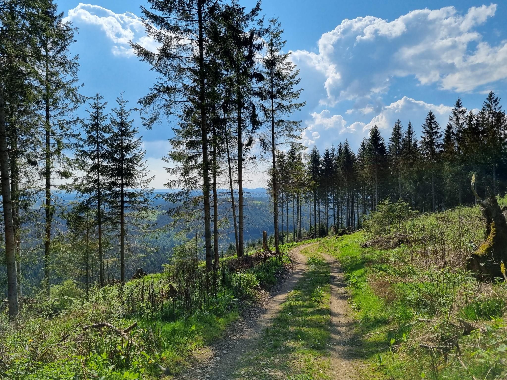
Ehmsenweg – Hiking through Western Sauerland
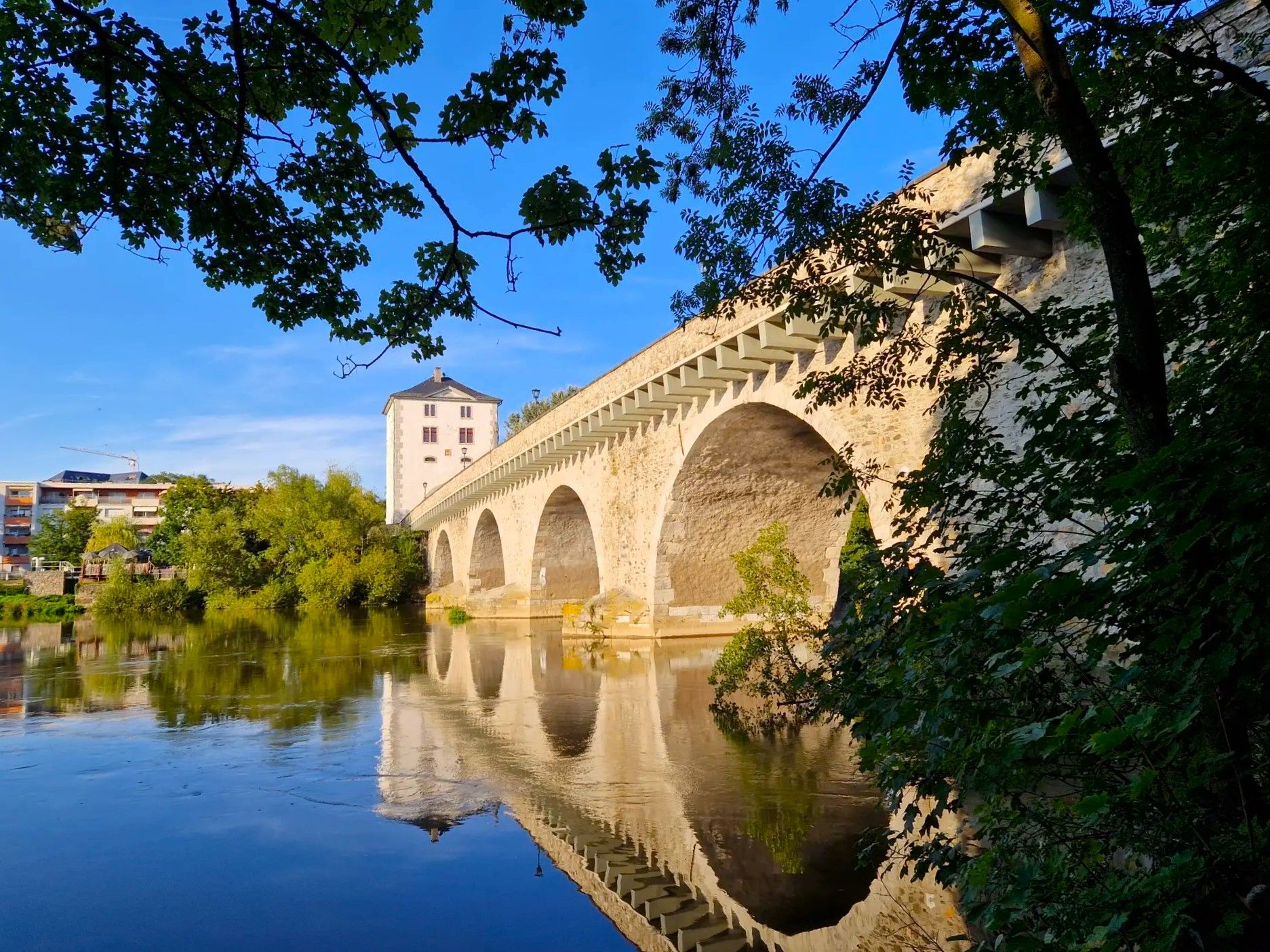
Lahnwanderweg Trail – The Lahn from its source to the estuary
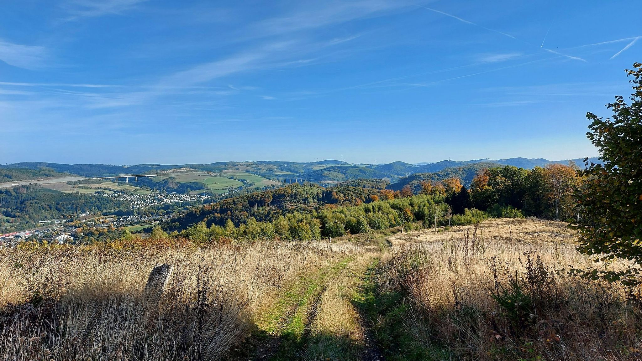
Bestwig Panorama Trail – 4 days of Sauerland views

11 Hessen trails – criss-cross through the countryside
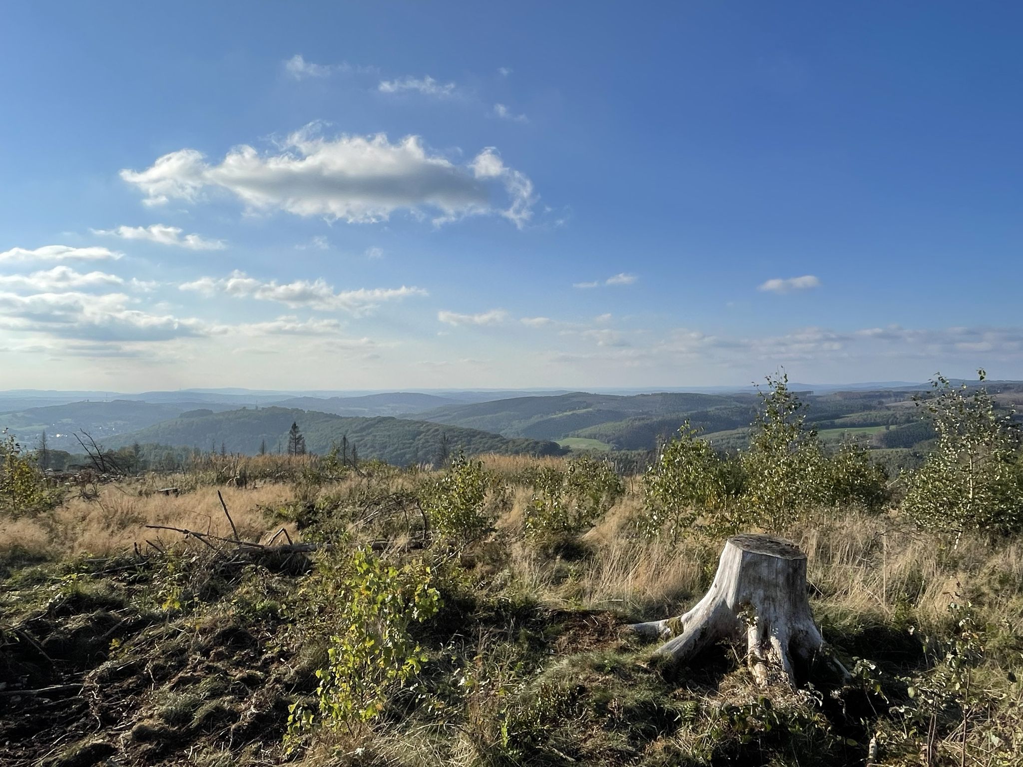
Siegerland-Höhenring – A classic in six stages
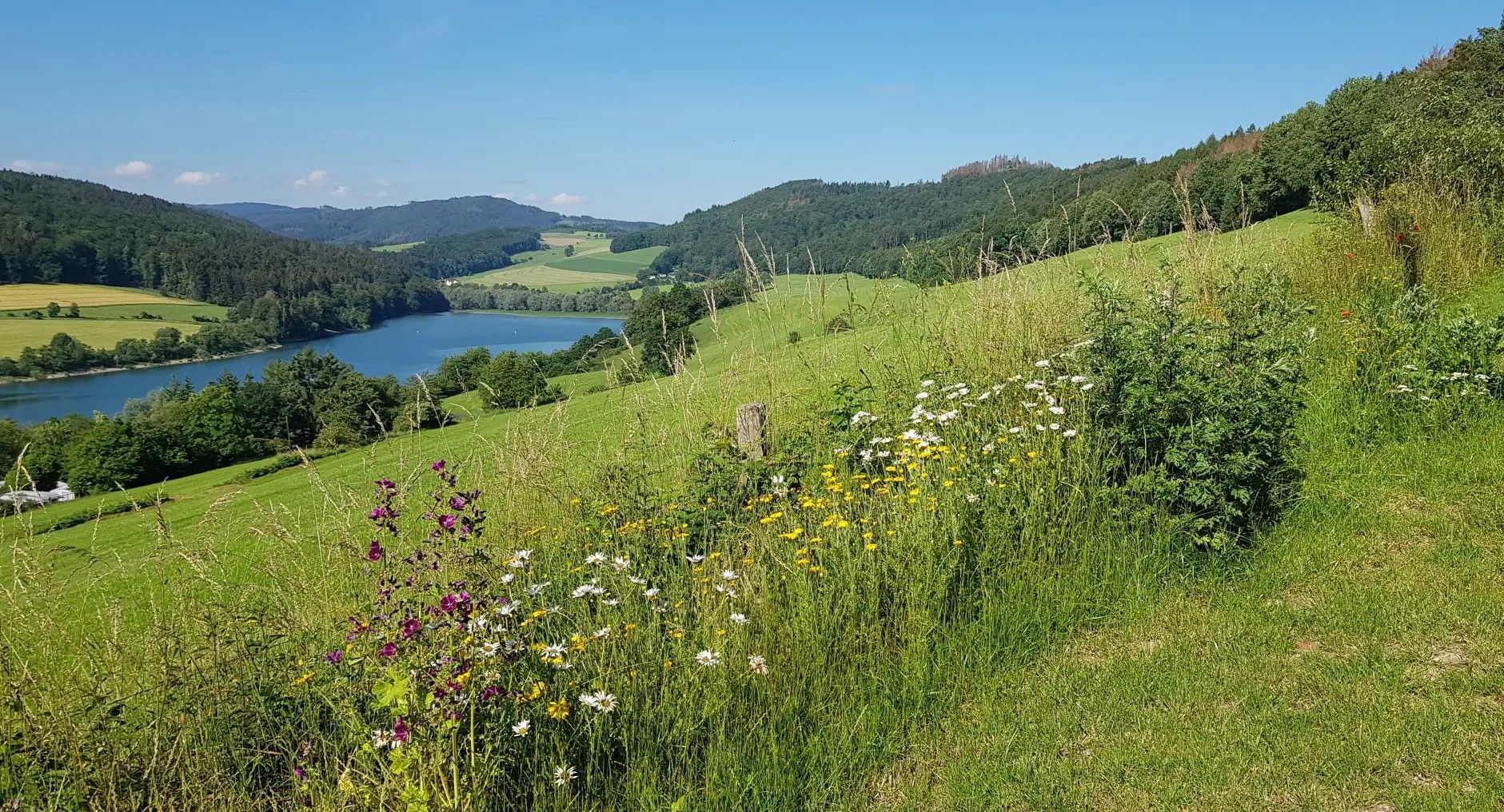
Germany's Sauerland Forest Route – Views and discoveries
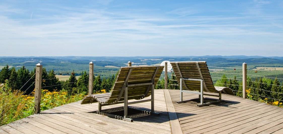
Siegerland-Höhenring – Discover a classic in 6 days
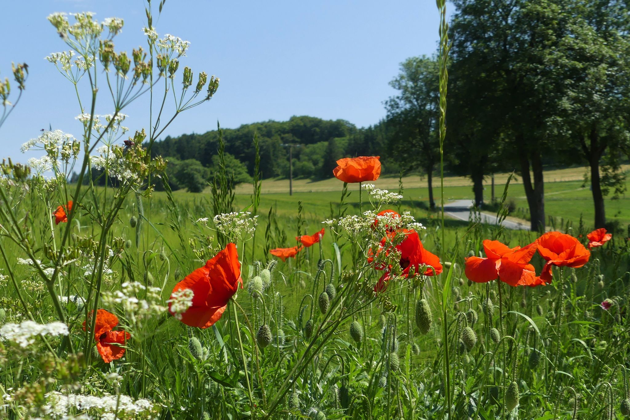
Hiking the Uplandsteig in North Hesse – From lively to lonely
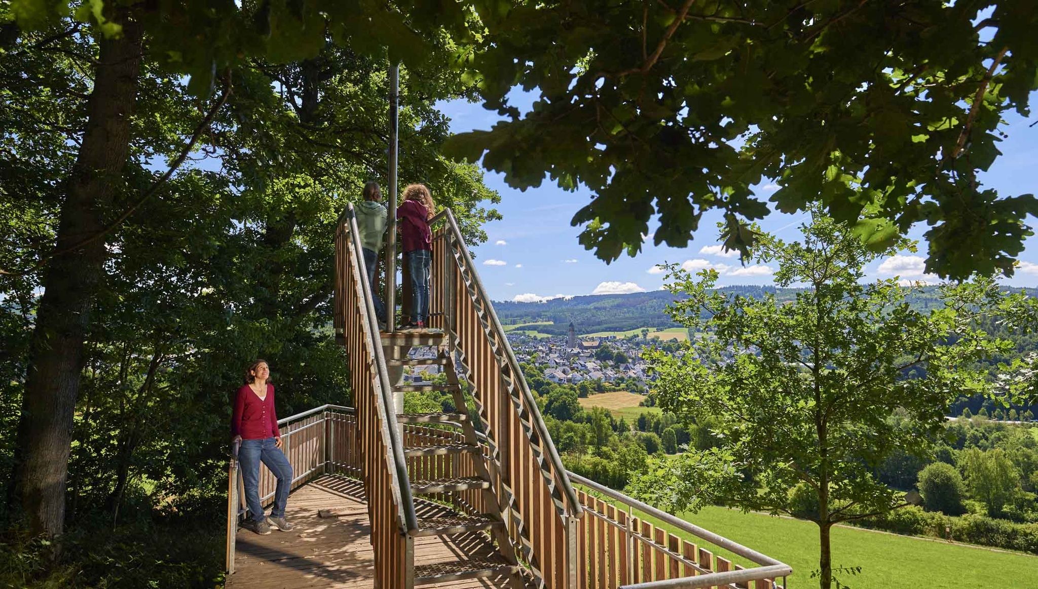
Happy together – family hikes in the Schmallenberger Sauerland

Multi-day hikes in the Sauerland – eight trails, many unforgettable moments
Other adventures in Naturpark Sauerland-Rothaargebirge


Tips from the Community

Elkeringhausen, an idyllic village in the Hochsauerland, was first mentioned in documents in 1515. Originally a small farming settlement, today historical mills, mining, and Catholic educational history shape the village's appearance. The most important milestones in the village's chronicle: + 1515: First documented mention of the village in the Orketal valley. + 1812: Incorporation into the newly founded Amt Niedersfeld, which also included surrounding villages such as Hildfeld and Silbach. + 1905: Founding of the local shooting club. + 1929: Construction of the "College of Religious Studies" by Bonn student chaplain Heinrich Lutz. It developed into a theological center. + 1964: Transformation of the former college into the Catholic educational institution St. Bonifatius. + January 1, 1975: Incorporation into the town of Winterberg as part of the municipal reorganization. Today, Elkeringhausen is known for its nature, the famous tent church, the church consecrated to St. Mary Magdalene built in 1863, and as a recreational area in the Sauerland.
0
0

Here is a designated area with a lawn for sunbathing and direct access to the lake. A toilet block and a small snack bar/kiosk are just a few meters away.
1
0


2025 and still as beautiful as ever 👍🏻
0
0


The Bigge is always suitable for a short trip on a Sunday morning.
0
0
Rowers in the fog, it's slowly becoming autumn. But always a nice short trip on Sunday morning 😄
1
0

In the middle of the forest, Komoot shows the way
6
0
Frequently Asked Questions
How many bus station hiking trails are available in Naturpark Sauerland-Rothaargebirge?
Naturpark Sauerland-Rothaargebirge offers nearly 9,000 hiking trails that are accessible via bus stations. This extensive network provides a wide variety of options for all skill levels, allowing you to explore the region's diverse landscapes conveniently.
What kind of landscapes can I expect on these bus-accessible hikes?
The bus-accessible trails in Naturpark Sauerland-Rothaargebirge traverse a rich variety of landscapes. You'll encounter extensive spruce and deciduous forests, verdant valleys, and picturesque floodplain landscapes. Many routes offer views of the majestic Rothaar Mountains, including peaks like the Kahler Asten and Langenberg, and some may pass by large reservoirs such as the Biggetalsperre, Sorpesee, or Hennesee.
Are there easy bus-accessible hiking trails for beginners or casual walkers?
Yes, the region boasts over 4,600 easy hiking trails that are accessible by bus. These routes are perfect for beginners, families, or anyone looking for a more relaxed outdoor experience. The diverse topography ensures there are gentle paths through forests and along rivers, making it easy to find a suitable route.
Are there any circular routes accessible from bus stations?
Absolutely. Many bus-accessible trails are designed as circular routes, allowing you to start and end your hike at the same bus stop without needing to arrange return transport. An example is the Langenberg circular route (Bruchhausen), which offers a moderate challenge and scenic views.
What do other hikers say about the bus-accessible trails in Naturpark Sauerland-Rothaargebirge?
The bus-accessible trails in Naturpark Sauerland-Rothaargebirge are highly rated by the komoot community, with an average score of 4.6 out of 5 stars from over 21,800 ratings. Hikers frequently praise the well-maintained paths, the stunning natural beauty, and the convenience of public transport access to diverse and engaging routes.
Can I find family-friendly bus-accessible hikes in the region?
Yes, Naturpark Sauerland-Rothaargebirge offers numerous family-friendly hikes accessible by bus. Many easy and moderate trails are suitable for children, often leading through forests or alongside rivers. Look for routes with shorter distances and less elevation gain, which are ideal for a family outing.
Are there bus-accessible trails that are suitable for hiking with dogs?
Many trails in Naturpark Sauerland-Rothaargebirge are dog-friendly, and this includes routes accessible by bus. The region's extensive forests and open landscapes provide plenty of opportunities for you and your canine companion to enjoy the outdoors. Always remember to keep your dog on a leash where required and respect local wildlife.
What interesting natural attractions can I see along bus-accessible hiking trails?
Along bus-accessible hiking trails, you can discover several natural highlights. You might encounter impressive rock formations like the Feldstein Summit (Bruchhauser Steine), offering considerable views. Some routes also lead to beautiful waterfalls, such as the Plästerlegge Waterfall, or offer panoramic vistas from peaks like Kahler Asten.
What is the best time of year for bus-accessible hiking in Naturpark Sauerland-Rothaargebirge?
Naturpark Sauerland-Rothaargebirge is a year-round hiking destination. Spring brings blooming wildflowers, summer offers lush green forests, and autumn transforms the landscape with vibrant colors, making it a particularly popular time. Even in winter, some trails are suitable for hiking, especially those at lower elevations, offering a serene, snow-covered experience.
Are there any specific bus-accessible routes known for their cultural or historical significance?
Yes, some bus-accessible routes connect to areas with cultural significance. For instance, the Bödefeld Gold Village Route (also known as Bödefelder Hollenpfad) takes you through a charming 'Golddorf' (gold village), showcasing traditional architecture and local heritage. These routes often combine natural beauty with insights into the region's history.
Can I find bus-accessible trails that offer challenging ascents and rewarding views?
Certainly. While many bus-accessible trails are easy or moderate, the region also offers more challenging options. For example, the Summit tour Elkeringhausen is a difficult route that provides significant elevation gain and promises rewarding panoramic views of the Sauerland landscape.
Are there any bus-accessible trails that pass by unique geological formations?
Yes, the Naturpark Sauerland-Rothaargebirge is home to unique geological features. Some bus-accessible trails, particularly those around Bruchhausen, can lead you near the impressive volcanic Bruchhauser Steine, which are striking rock formations reaching up to 90 meters high and offer a distinct natural landmark.
Most popular routes in Naturpark Sauerland-Rothaargebirge
Most popular attractions in Naturpark Sauerland-Rothaargebirge

Get inspired with the komoot mobile app


Explore more
Browse the best Hikes in other regions.
