The best hikes from bus stations in Hohes Venn-Eifel
4.6
(143101)
526,041
hikers
5,263
hikes
Bus station hiking trails in Hohes Venn-Eifel traverse a diverse landscape characterized by extensive woodlands, picturesque lakes, and the unique high moors of Hohes Venn. The region, straddling the German-Belgian border, features varied geological formations, including limestone basins and areas with "rock and water" landscapes. Hikers can experience gentle paths through forests, alongside rivers, and over open moorland, with some routes offering panoramic views from elevated sections.
Best bus station hiking trails in Hohes Venn-Eifel
- The most popular bus station hiking route is Struffelt Route, a 6.1 miles (9.9 km) trail that takes 2 hours 46 minutes to complete. This moderate route explores the Struffelt Heath and Moor Nature Reserve.
- Another top favourite among local hikers is Bird Watching Tour - Nationalpark Eifel, a moderate 7.9 miles (12.7 km) path. This trail offers opportunities for observing local wildlife within the Eifel National Park.
- Local hikers also love the Daffodil Route, a 9.5 miles (15.3 km) trail leading through areas known for their spring daffodil blooms, often completed in about 4 hours 15 minutes.
- Hiking in Hohes Venn-Eifel is defined by high moors, extensive woodlands, and river valleys. The network offers options for different ability levels, from easy strolls to more challenging long-distance paths.
- The routes in Hohes Venn-Eifel are highly rated by the komoot community with an average score of 4.6 stars from over 135,000 reviews. More than 533,000 hikers have used komoot to explore Hohes Venn-Eifel's varied terrain.
Last updated: June 25, 2026
4.7
(2075)
6,332
hikers
9.89km
02:46
180m
180m
Moderate hike. Good fitness required. Mostly accessible paths. Sure-footedness required.
4.7
(2261)
7,574
hikers
12.7km
03:41
330m
330m
Moderate hike. Good fitness required. Easily-accessible paths. Suitable for all skill levels.

Sign up for free
4.7
(1572)
4,719
hikers
15.3km
04:15
240m
240m
Moderate hike. Good fitness required. Mostly accessible paths. Sure-footedness required.
4.8
(1281)
4,238
hikers
16.8km
04:38
290m
290m
Moderate hike. Good fitness required. Easily-accessible paths. Suitable for all skill levels.
4.7
(480)
1,871
hikers
22.4km
06:15
430m
440m
Hard hike. Very good fitness required. Easily-accessible paths. Suitable for all skill levels.
Get access to more routes and recommendations from other explorers.
Sign up for free
Already have an account?
Our route recommendations are based on thousands of hikes, rides, and runs completed by other people on komoot.
Start today with a free account
Your next adventure awaits.
Login or Signup
Popular around Hohes Venn-Eifel
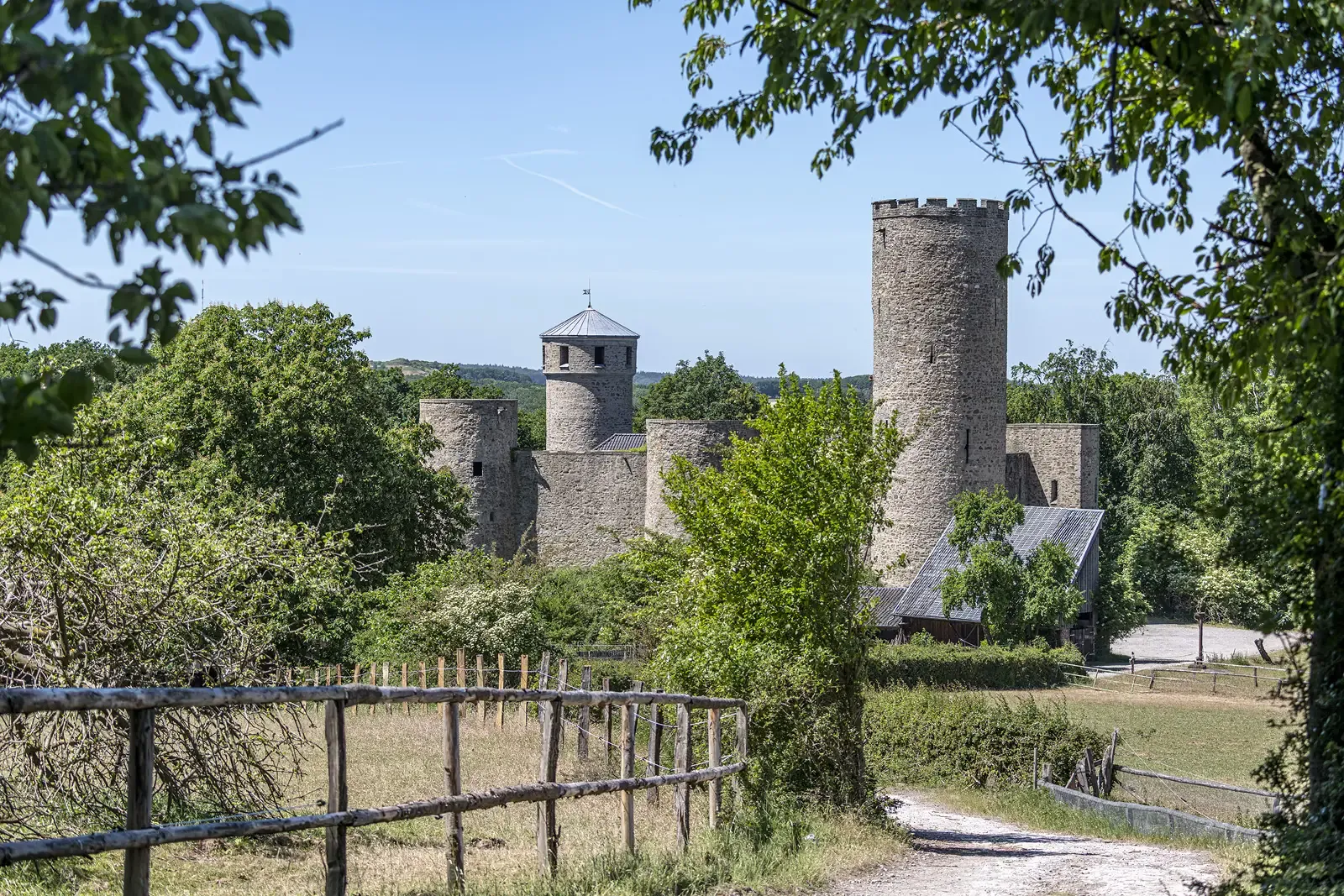
Rhineland Way of St. James – A pilgrimage week
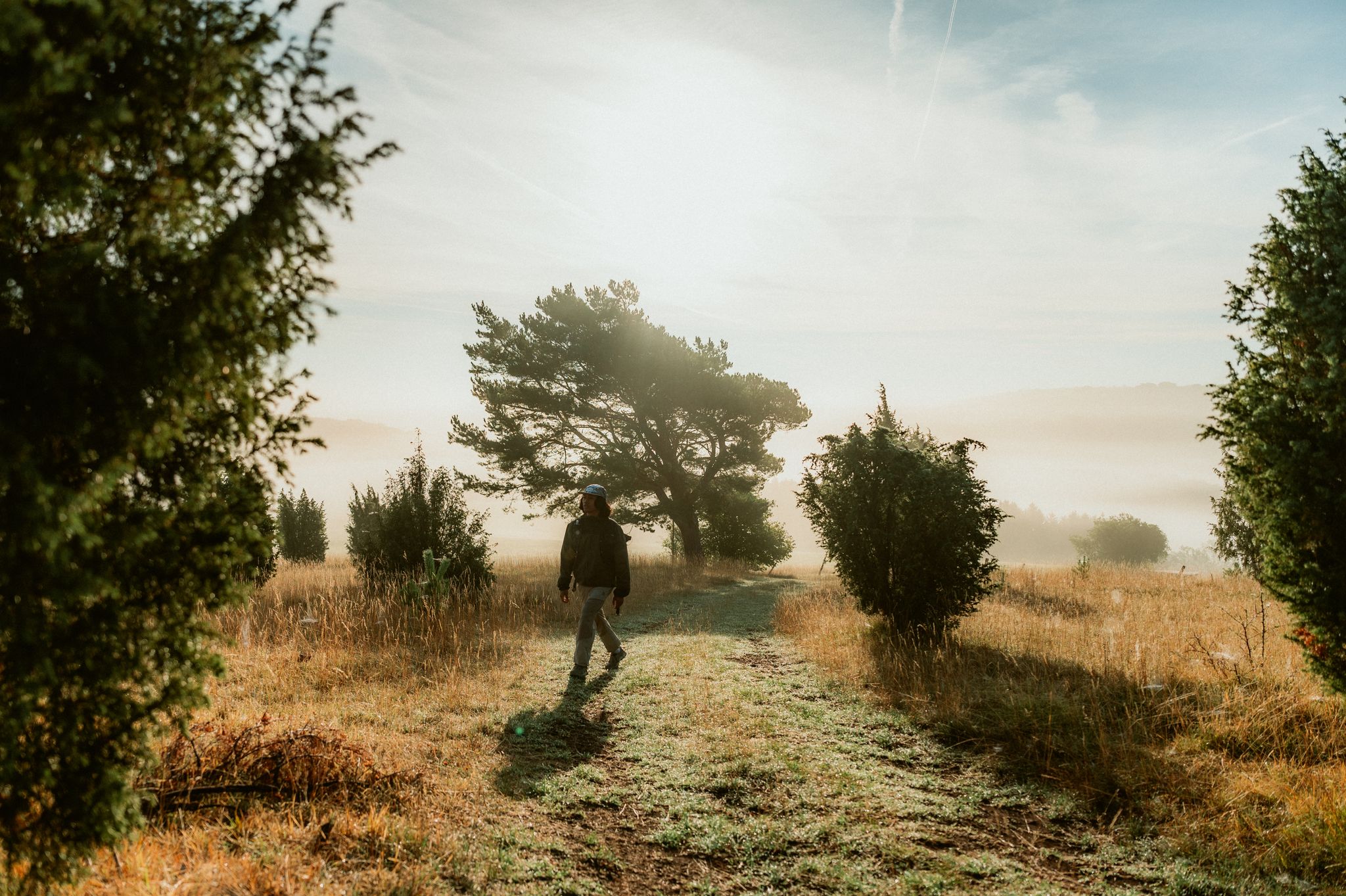
Experience contrasts – hiking between wide open spaces, forests and change
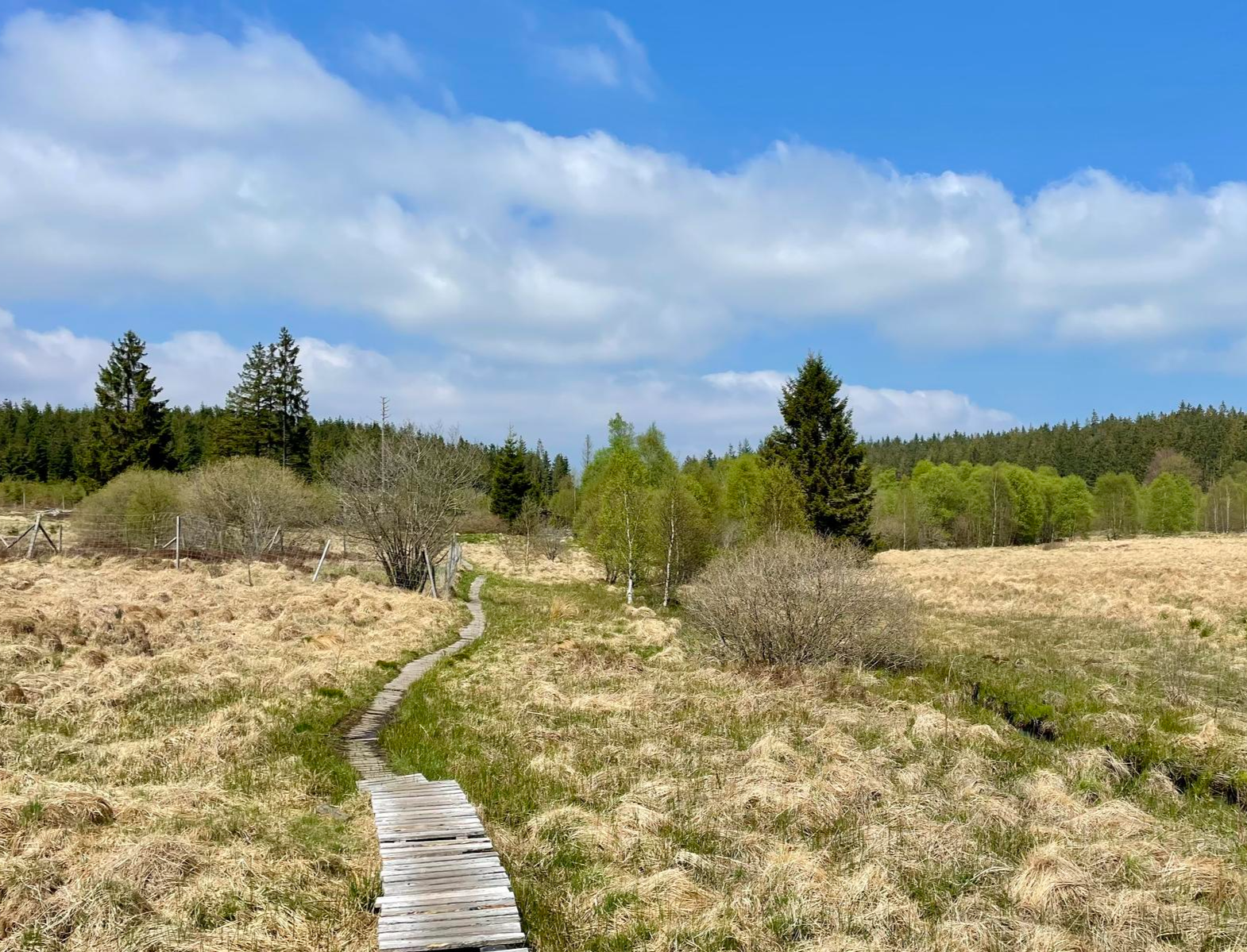
Nature et Histoire à la frontière germano-belge — Chemin du souvenir
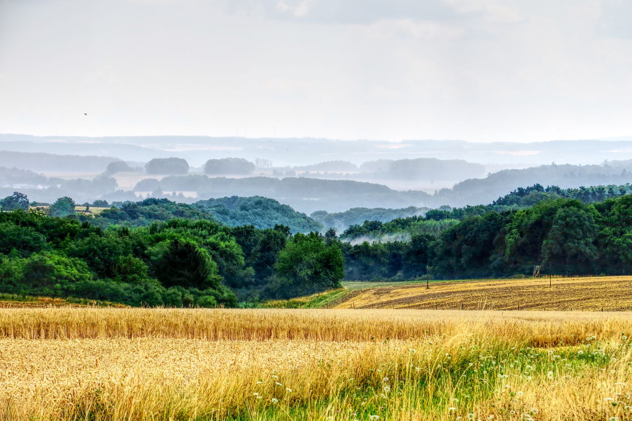
The National Natural Landscapes in Rheinland-Pfalz
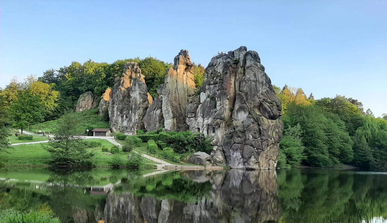
The National Natural Landscapes in Nordrhein-Westfalen
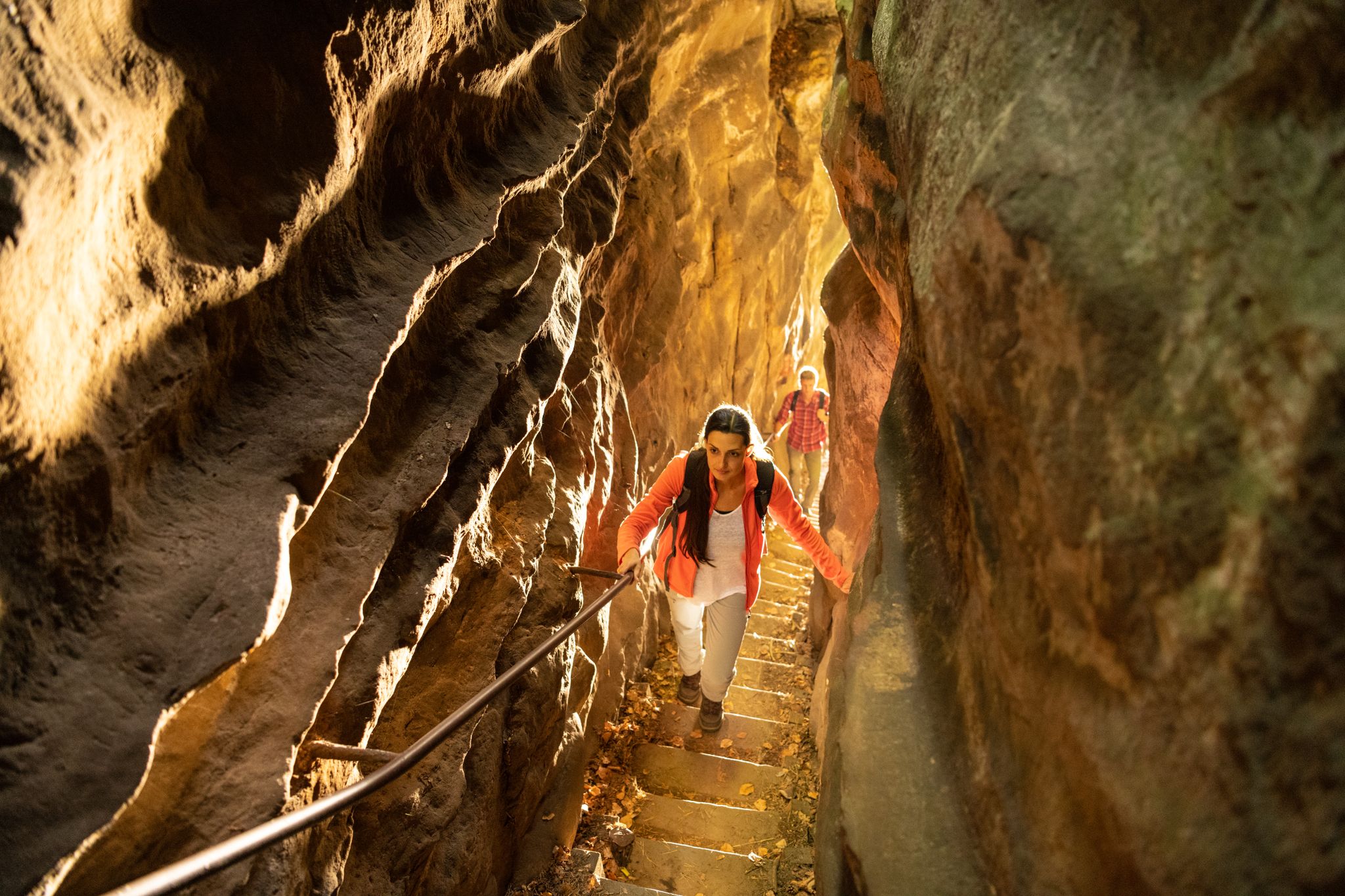
Lakes, castles and rocks – hiking in the NaturWanderPark delux

#GoFurther – discover the views of Germany!
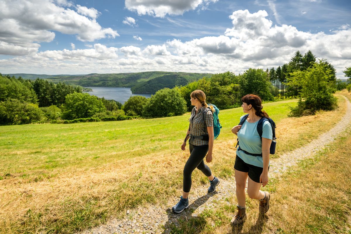
Shaped by rock and water – hikes in the Rureifel region

Hike with BUND on the trail of the European wildcat
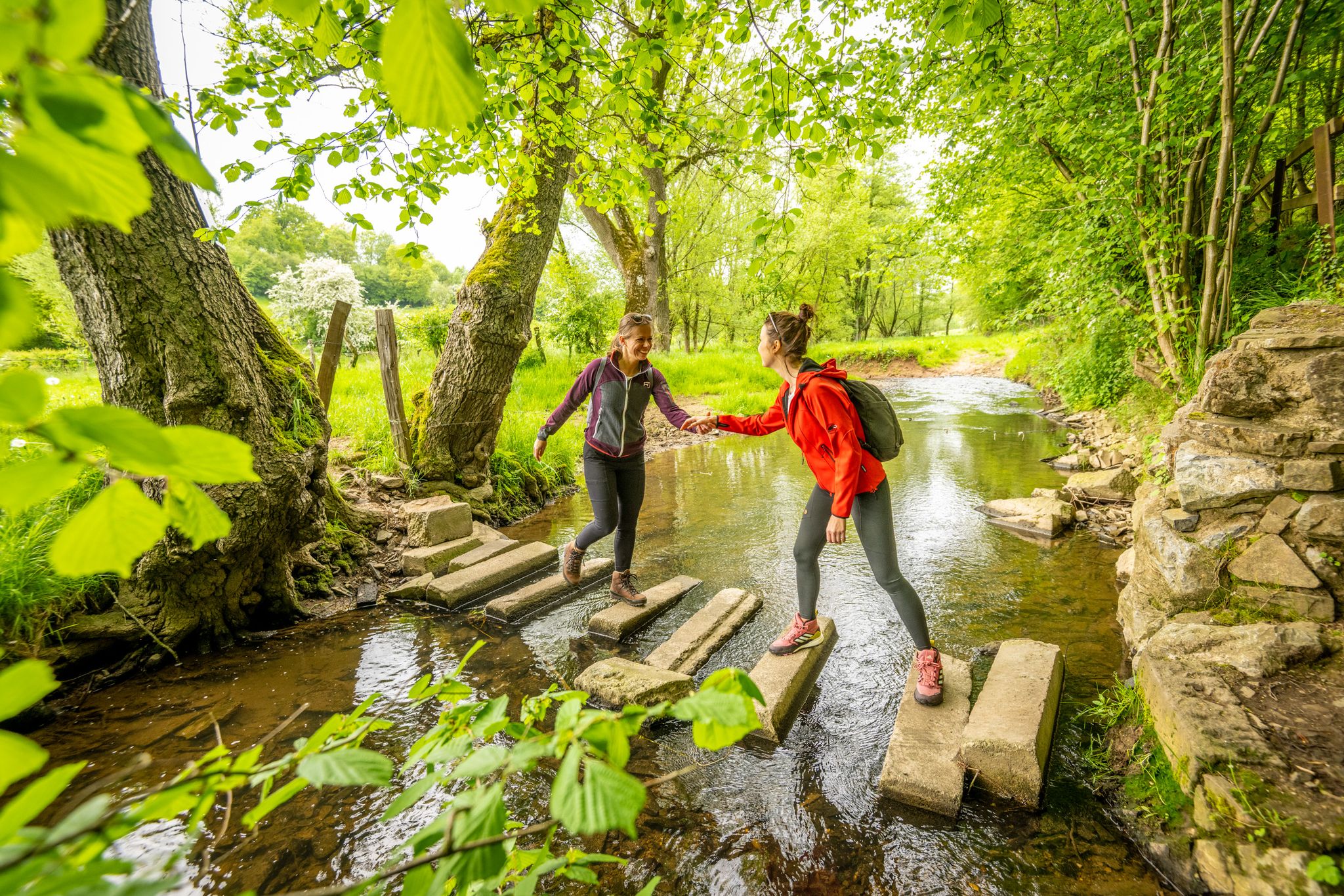
Hiking in the landscapes around the imperial city of Aachen
Other adventures in Hohes Venn-Eifel


Tips from the Community

According to local tradition, an old legend explains the origin of the Teufelsley (Devil's Rock). The devil was said to have been enraged because a monastery was to be built in the region. In his anger, he dislodged a massive boulder from the heights to destroy the structure. However, as he approached with the stone, an angel intervened, thwarting the devil's plan and stopping his attack. The rock brought by the devil then remained in its present location and has been called Teufelsley ever since.
45
0

"The Perlenbach Dam impounds the river of the same name - the Perlenbach. The water from the dam is used for drinking water supply and hydroelectric power generation. The need to improve the drinking water supply in the Monschau district became particularly clear in the post-war years. With the cooperation of the District President of Aachen, the project was approved in 1953. The dam was completed and put into operation in 1956. The dam is designed for a storage capacity of 800,000 cubic meters. The dam is constructed as a rockfill dam and is 120 meters long and 18 meters high. The catchment area of the Perlenbach Dam covers 64.4 square kilometers and lies predominantly on Belgian territory. In addition to the Perlenbach, the Hasselbach, the Königsbach, the Römerbach, and the Höfener Bach streams feed the dam." (Dana Pfeiffer and Matthias Wirtz-Amling, LVR Department of Cultural Landscape Management, 2023) https://www.kuladig.de/Objektansicht/KLD-343561
0
0

Nice reservoir. Heavily covered. Only visible from one side (from the side of the busy road)
0
0

There's a well-designed exhibition here specifically for the blind. There's plenty for children to discover, too. Adults can also spend a lot of time here and learn a lot about nature.
1
0

Very beautiful place and the whole thing is beaver country.
6
0

Here the Perlenbach flows into the dam.
0
0

View from the Vennbahn.
0
0

The former Nazi Ordensburg is now home to the national park's visitor center... the exhibition teaches numerous interesting facts about the flora and fauna of this region... very exciting for the whole family
6
0
Frequently Asked Questions
How many bus-accessible hiking trails are available in Hohes Venn-Eifel?
There are over 5,200 bus-accessible hiking trails in the Hohes Venn-Eifel region, ranging from easy to difficult. This includes more than 2,700 easy routes and over 2,300 moderate routes, ensuring options for all fitness levels.
What do other hikers enjoy most about bus-accessible trails in Hohes Venn-Eifel?
The Hohes Venn-Eifel region is highly rated by the komoot community, with an average score of 4.56 stars. Hikers frequently praise the diverse landscapes, from the unique high moors to dense woodlands and picturesque reservoirs, all easily reachable by public transport. The well-maintained paths and stunning natural beauty are often highlighted.
What is the best time of year to hike in Hohes Venn-Eifel using public transport?
The Hohes Venn-Eifel Nature Park offers unique experiences year-round. Spring is particularly enchanting with the blooming wild daffodils, especially along routes like the Daffodil Route. Summer and autumn provide lush green forests and vibrant fall colors. Even winter offers opportunities for serene hikes, with the high moors taking on a pale yellow hue. Always check local bus schedules, as some services might be reduced in off-peak seasons.
Are there easy bus-accessible hikes suitable for beginners in Hohes Venn-Eifel?
Yes, the region offers over 2,700 easy bus-accessible routes perfect for beginners or those seeking a relaxed walk. These trails often feature gentle terrain and well-marked paths, allowing you to enjoy the natural beauty without strenuous climbs. Many of these routes are designed to be accessible directly from bus stops.
Can I find circular hiking routes that start and end at a bus station?
Absolutely. Many of the bus-accessible trails in Hohes Venn-Eifel are circular, meaning you can start and finish your hike at the same bus stop. This makes planning your public transport journey very convenient. Look for routes specifically marked as circular tours on komoot to ensure a seamless experience.
Are there any bus-accessible trails that feature waterfalls?
Yes, the Hohes Venn-Eifel region has several beautiful spots with waterfalls accessible by bus. For instance, you can explore the area around the Erkensruhr Waterfall at the Confluence with the Rur or the Ruppenbach Waterfall. These natural attractions provide picturesque stops along your hike.
Can I find trails with scenic viewpoints or panoramic views accessible by bus?
The Hohes Venn-Eifel Nature Park is known for its 'Eifel views,' offering numerous signposted platforms and viewing towers with 360-degree panoramas. Many of these are accessible via bus routes. For example, the Ehrensteinley Viewpoint provides stunning vistas and can be incorporated into a bus-accessible hike.
Are there family-friendly bus-accessible hiking options in Hohes Venn-Eifel?
Yes, many bus-accessible trails in Hohes Venn-Eifel are suitable for families. These often feature shorter distances, less challenging terrain, and points of interest like playgrounds or picnic areas. The region's extensive woodlands and gentle paths make for enjoyable outings with children. Look for easy-rated routes on komoot for the best family-friendly options.
Are dogs allowed on bus-accessible hiking trails in Hohes Venn-Eifel?
Generally, dogs are welcome on most hiking trails in the Hohes Venn-Eifel Nature Park, provided they are kept on a leash, especially in nature protection areas and near wildlife. When using public transport, check the specific bus company's regulations regarding pets. Always remember to clean up after your dog to preserve the natural environment.
What kind of natural landscapes can I expect to see on bus-accessible hikes in Hohes Venn-Eifel?
Bus-accessible hikes in Hohes Venn-Eifel offer a remarkable diversity of landscapes. You can explore the rare high moors with their unique flora, extensive woodlands, picturesque lakes, and rivers. The region also features impressive geological formations and, in spring, vibrant wild daffodil fields. The Struffelt Route, for example, takes you through heath and moorland.
Are there any historical sites or cultural landmarks accessible from bus stops?
Beyond its natural beauty, Hohes Venn-Eifel is rich in history. Many bus-accessible routes can lead you to fascinating historical sites such as Roman buildings, picturesque castles, palaces, and abbeys. The Monastery Route is a prime example, connecting you with the region's cultural heritage.
Are there any specific considerations for using public transport to access trails in Hohes Venn-Eifel?
When planning your bus-accessible hike, it's advisable to check the current bus schedules in advance, especially on weekends or public holidays, as services might be less frequent. Some remote trailheads might have limited bus connections. For more general information about the region and transport options, you can visit nrw-tourism.com.
Most popular routes in Hohes Venn-Eifel
Most popular attractions in Hohes Venn-Eifel

Get inspired with the komoot mobile app


Explore more
Browse the best Hikes in other regions.
