The best mountain hikes in Hohes Venn-Eifel
4.6
(83)
175
hikers
28
hikes
Mountaineering routes in Hohes Venn-Eifel traverse a diverse landscape characterized by extensive forested mountain heights, deeply cut valleys, and the unique high moorlands of the Hohes Venn. The region features numerous rivers, lakes, and reservoirs, including the historic Urft dam and the Rursee. Trails often involve significant elevation changes, offering varied terrain for mountaineers.
Best mountaineering routes in Hohes Venn-Eifel
- The most popular mountaineering route is Teufelsley Rock Formation – Monschau's historic Old Town loop from Monschau, a 9.7…
Last updated: October 5, 2026
4.0
(1)
3
hikers
15.7km
04:31
370m
370m
Moderate mountaineering route. Good fitness required. Easily-accessible paths. Suitable for all skill levels.
4.8
(18)
23
hikers
19.8km
05:58
610m
610m
Hard mountaineering route. Very good fitness required. Easily-accessible paths. Suitable for all skill levels.

5.0
(2)
10
hikers
Hard mountaineering route. Very good fitness required. Easily-accessible paths. Suitable for all skill levels.
3.0
(1)
2
hikers
4.02km
01:10
100m
100m
Easy mountaineering route. Great for any fitness level. Easily-accessible paths. Suitable for all skill levels.
9.69km
02:36
110m
110m
Moderate mountaineering route. Good fitness required. Easily-accessible paths. Suitable for all skill levels.
Get access to more routes and recommendations from other explorers.
Already have an account?
Our route recommendations are based on thousands of hikes, rides, and runs completed by other people on komoot.
Start today with a free account
Your next adventure awaits.
Popular around Hohes Venn-Eifel
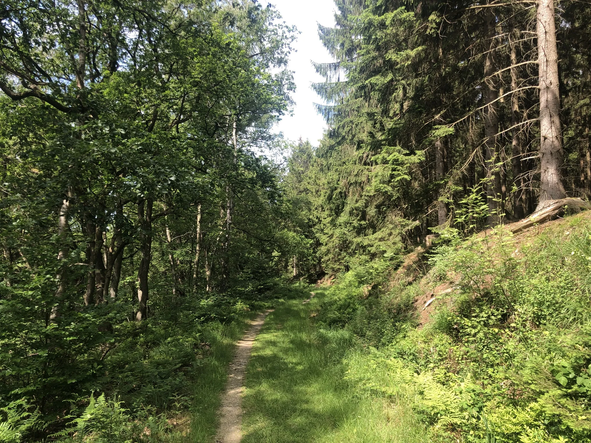
Trans-Eifel in 6 stages — Mountains rich and pure nature
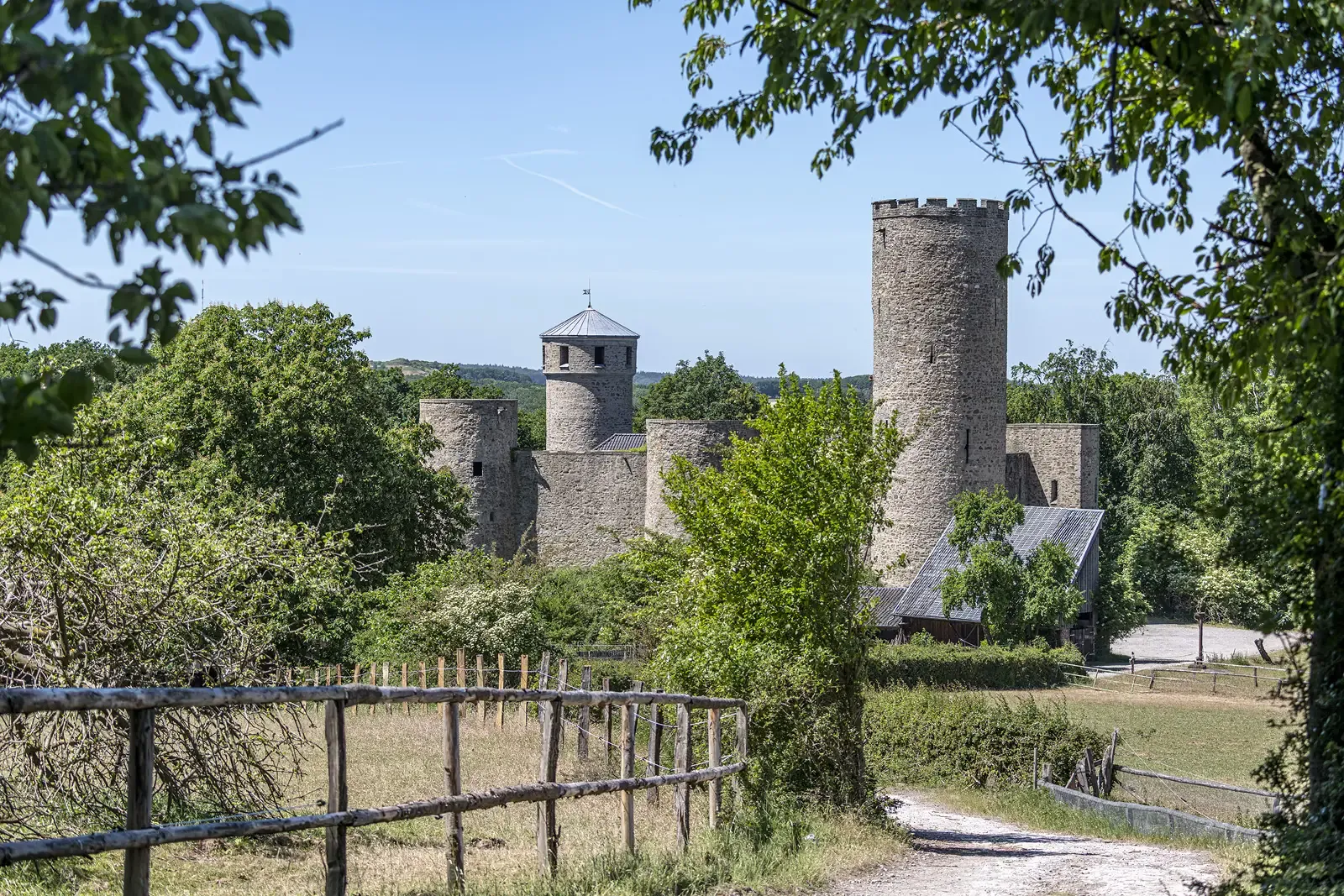
Rhineland Way of St. James – A pilgrimage week
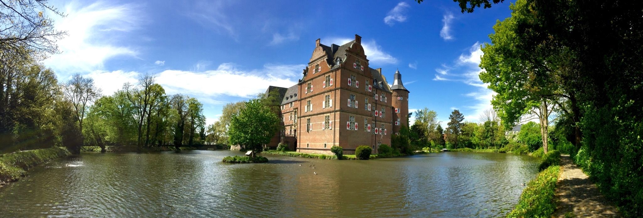
Wasserburgen-Route — A ride through Germany's Castle Country from the Rhine to the Eifel and back
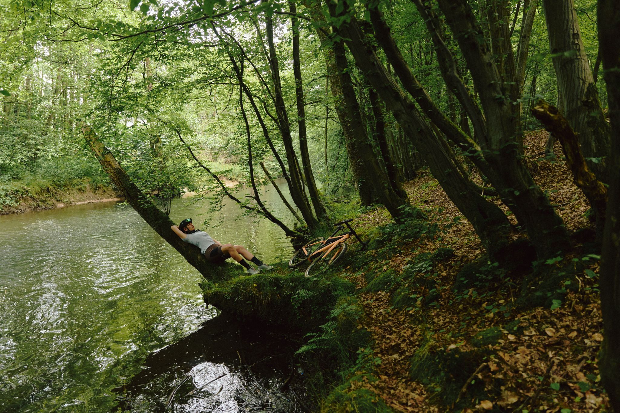
Gravel biking for all – NRW gravel paradise
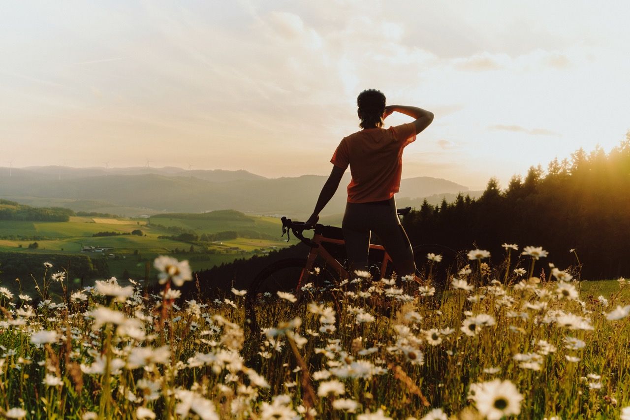
Discover NRW on a gravel bike
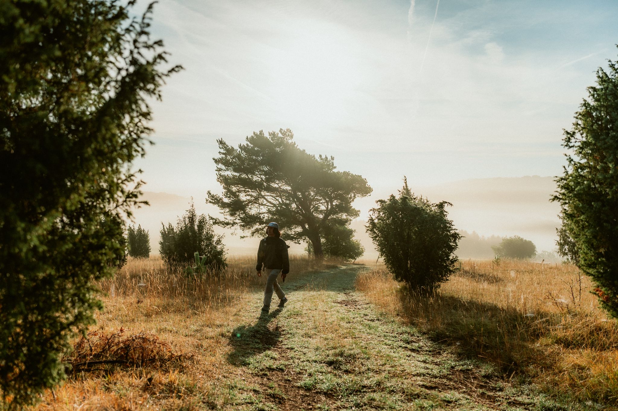
Experience contrasts – hiking between wide open spaces, forests and change
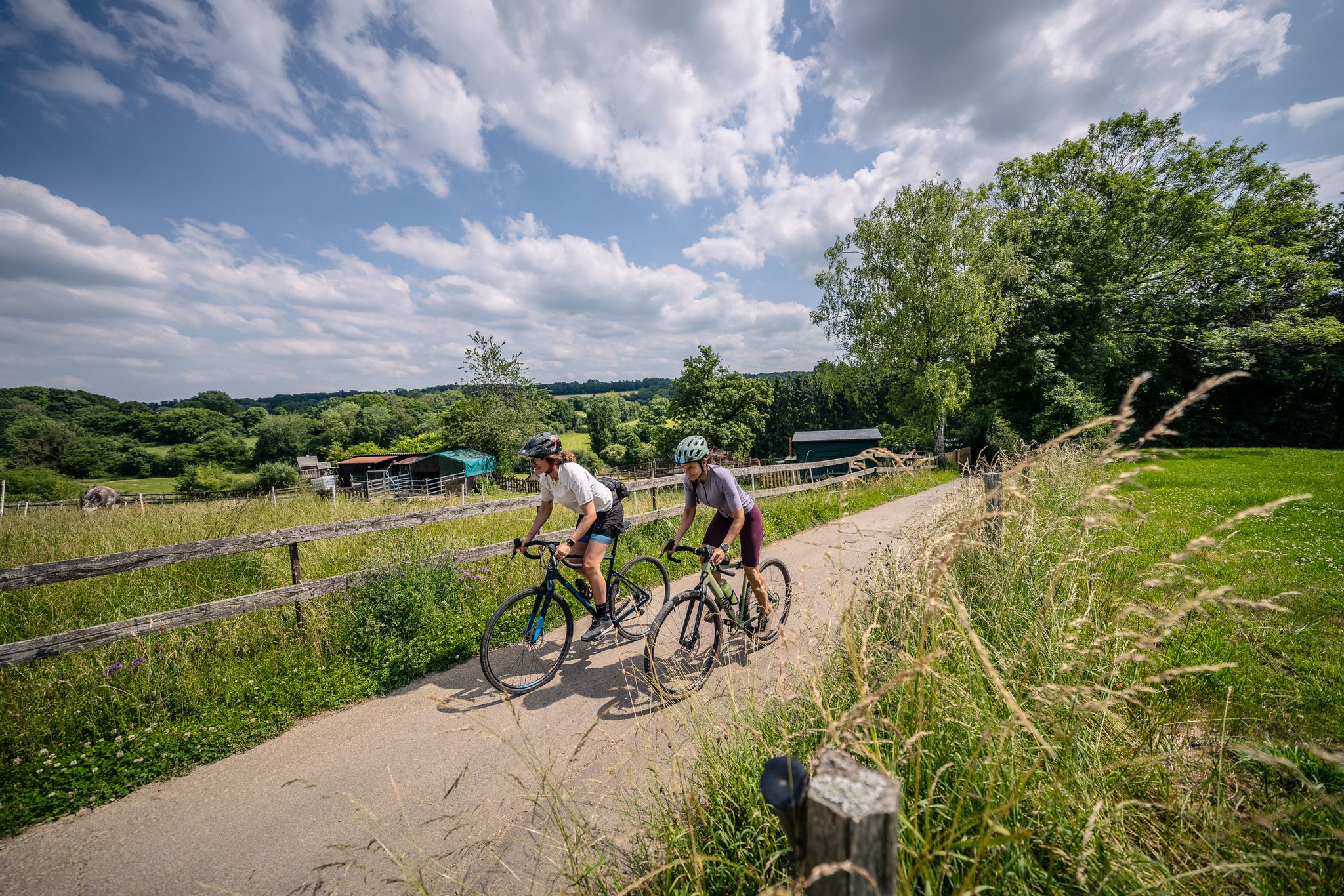
Gravel at its finest – rides around Aachen
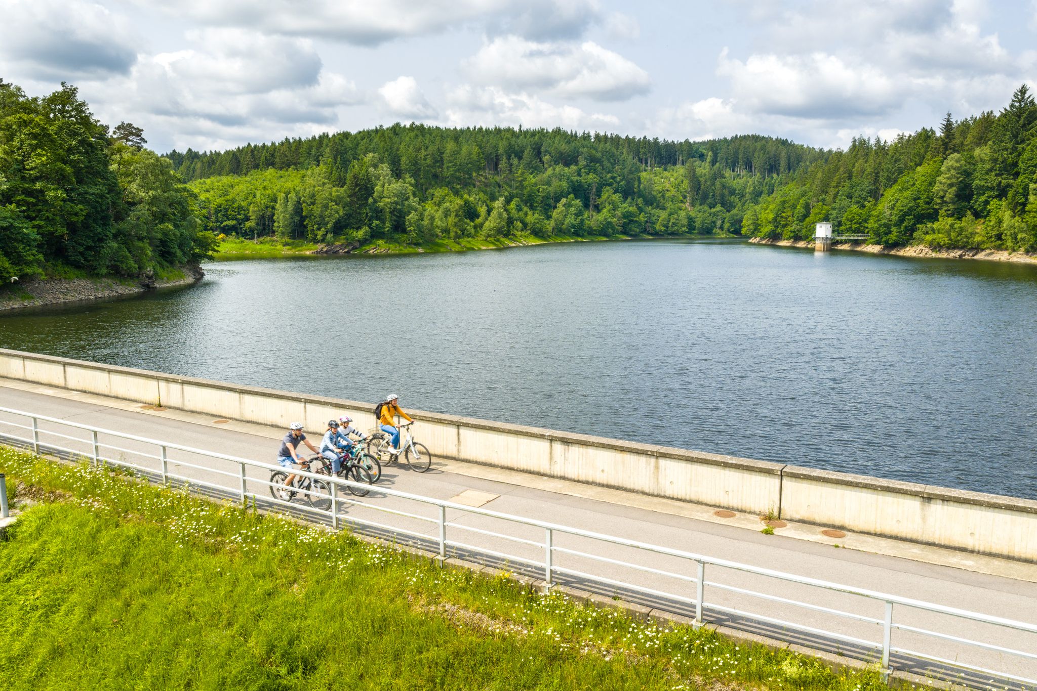
Aachen Time Loops – cycling from the past to the future
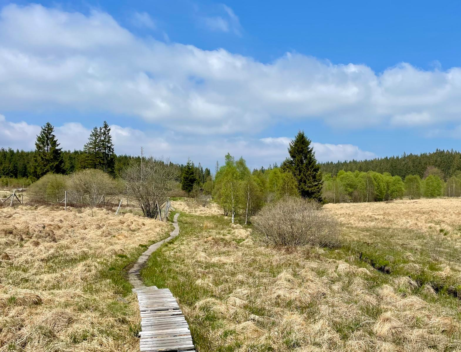
Nature et Histoire à la frontière germano-belge — Chemin du souvenir
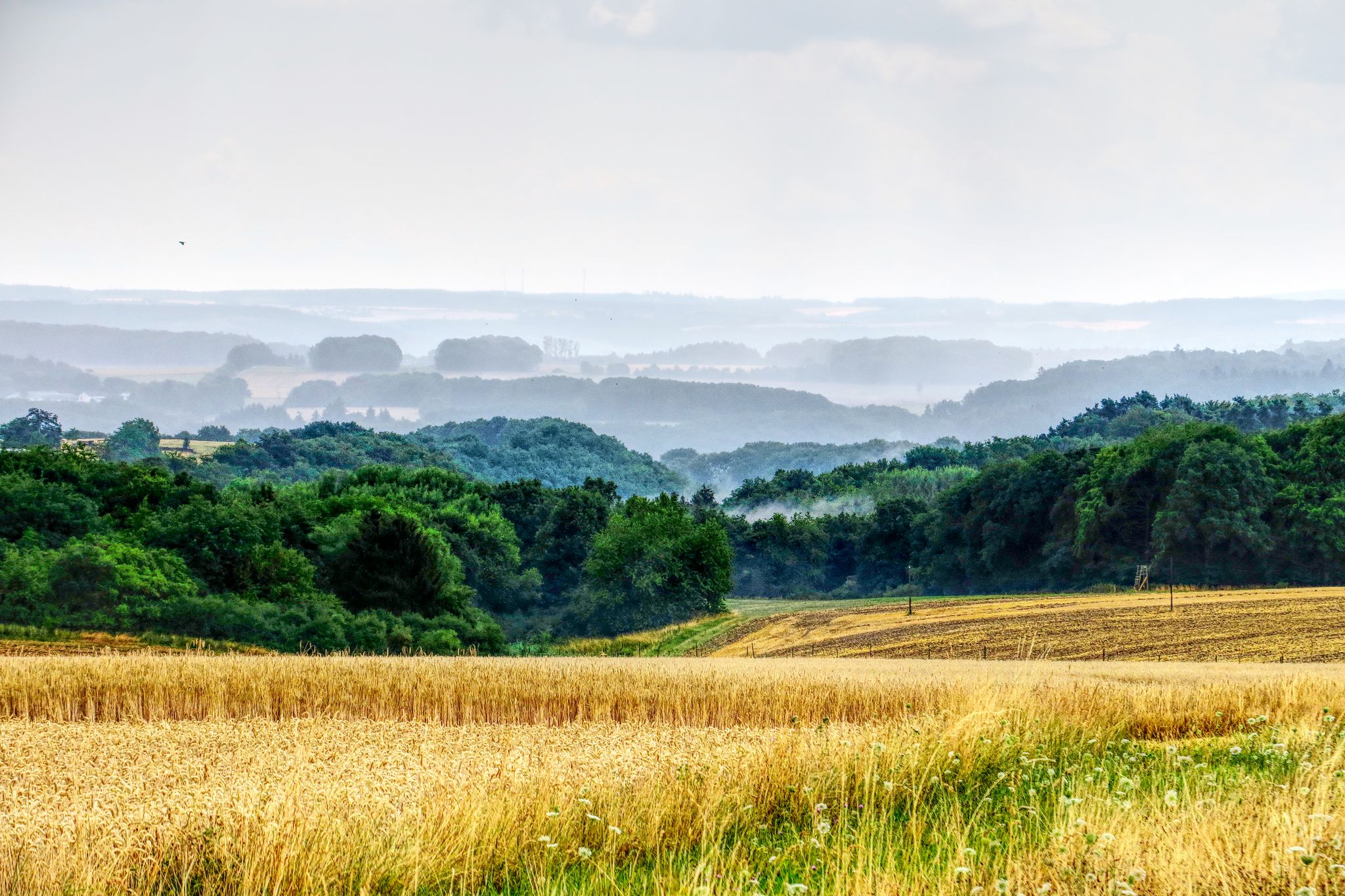
The National Natural Landscapes in Rheinland-Pfalz
Other adventures in Hohes Venn-Eifel


Tips from the Community

The iconic Eifelsteig route marker with the distinctive yellow-green 'E' logo is the faithful guide for every hiker between Kornelimünster and Trier. These stylish wooden signposts are recognizable by their blue dots indicating the main route, complete with accurate distance indications and signs with exact UTM coordinates and elevation data. Volunteer trail patrollers continuously check the markings on all 15 stages of the 313-kilometer-long top route. As soon as you see such a sign gleaming along the forest edge, you know you are on the right track towards the most beautiful nature of the Eifel!
0
0

Hi 👋😊 This highlight is located in the Eifel National Park. To protect sensitive species, there are special rules here: Stay on official paths, keep dogs on a leash, take your trash back with you, and cycle/MTB only on designated paths. Smoking and fires are taboo – wildfire risk🔥! Thanks for your understanding! 💚 Further information can be found at www.nationalpark-eifel.de. We wish you a great time in the emerging wilderness!
1
0

Perhaps the most beautiful border crossing BE-DE there is.
0
0
Twisty pasture path near the upper Weser. Still with beautiful wide views over the meadows..
2
0


According to local tradition, an old legend explains the origin of the Teufelsley (Devil's Rock). The devil was said to have been enraged because a monastery was to be built in the region. In his anger, he dislodged a massive boulder from the heights to destroy the structure. However, as he approached with the stone, an angel intervened, thwarting the devil's plan and stopping his attack. The rock brought by the devil then remained in its present location and has been called Teufelsley ever since.
46
0

Super nice route and hiking trail
0
0

Great area… Absolutely recommendable, definitely again that’s for sure
1
0
Frequently Asked Questions
How many mountaineering routes are available in Hohes Venn-Eifel?
There are over 30 mountaineering routes in Hohes Venn-Eifel, catering to various skill levels. You'll find 8 easy routes, 17 moderate, and 8 difficult trails, ensuring options for every mountaineer.
What kind of terrain can I expect on mountaineering routes in Hohes Venn-Eifel?
Mountaineering routes in Hohes Venn-Eifel traverse a diverse landscape. You can expect extensive forested mountain heights, deeply cut valleys, and the unique high moorlands of the Hohes Venn. The region also features numerous rivers, lakes, and reservoirs, with trails often involving significant elevation changes and varied terrain, including limestone, high, and volcanic Eifel landscapes.
Are there any challenging mountaineering routes in Hohes Venn-Eifel?
Yes, Hohes Venn-Eifel offers several challenging routes for experienced mountaineers. One such route is the Staubecken Heimbach – Meuchelberg loop from Hausen, a difficult 12.5-mile (20.1 km) path with significant elevation changes. Another demanding option is the Eifel Glassblowing Workshop – The Rur River in Monschau loop from Monschau, a 13.2-mile (21.3 km) trail that takes nearly 6 hours to complete.
What are some natural features or landmarks I can see along the routes?
The region is rich in natural beauty and historical sites. You can encounter the unique high moor areas of the Hohes Venn, picturesque wild daffodil valleys in spring, and stunning panoramic views from various 'Eifel views' platforms. Some routes pass by significant rock formations like the Teufelstritt Rock Formation, or offer views of the historic Urft dam and the Rursee. You might also explore fascinating caves such as Kakus Cave and Kartstein Cliffs.
Are there any waterfalls along the mountaineering trails?
Yes, the Hohes Venn-Eifel region features several waterfalls. You might come across the Erkensruhr Waterfall at the Confluence with the Rur or the Ruppenbach Waterfall. The Weberbach Stream and Waterfalls also offer scenic spots to enjoy.
What is the best time of year for mountaineering in Hohes Venn-Eifel?
The Hohes Venn-Eifel region offers diverse experiences throughout the year. Spring brings vibrant colors, especially in the wild daffodil valleys. Summer is ideal for longer days on the trails. In winter, the Hohes Venn can present an 'eerie beauty' with gnarled birches. Always check local conditions, especially for higher elevations or moorland areas, as some trails may require specific gear or experience during colder months.
Are there any circular mountaineering routes available?
Yes, many mountaineering routes in Hohes Venn-Eifel are designed as loops. For example, the popular Teufelsley Rock Formation – Monschau's historic Old Town loop from Monschau is a 9.7-mile (15.6 km) circular trail. Another option is the Eugenienstein – Mausauel Rur Bridge loop from Nideggen, a moderate 8-mile (12.8 km) route.
What do other mountaineers enjoy most about the Hohes Venn-Eifel region?
The Hohes Venn-Eifel region is highly rated by the komoot community, with an average score of 4.6 stars. Mountaineers often praise the diverse landscapes, from dense forests and deep valleys to the unique high moorlands. The well-developed and certified premium hiking trails, along with the challenging terrain on some routes, are frequently highlighted as key attractions.
Are there any easy mountaineering routes suitable for beginners?
Yes, Hohes Venn-Eifel offers easy routes suitable for those new to mountaineering or looking for a less strenuous experience. An example is the Heimbach Reservoir loop from Rur Dam, which is a shorter 2.6-mile (4.1 km) trail with manageable elevation changes, perfect for a more relaxed outing.
Can I find places to eat or stay near the trails?
The Hohes Venn-Eifel region has various towns and villages, such as Monschau and Heimbach, located near popular trailheads. These areas typically offer cafes, restaurants, and accommodation options. Additionally, the park provides designated trekking sites for overnight camping, which are secluded and equipped with basic amenities for an undisturbed nature experience.
Is public transport available to reach the trailheads?
While specific public transport details for every trailhead vary, the Hohes Venn-Eifel Nature Park is generally accessible. Larger towns within or near the park, such as Monschau, often have bus connections. It's advisable to check local public transport schedules for specific routes and starting points before your trip.
Are there opportunities for stargazing in Hohes Venn-Eifel?
Yes, the Hohes Venn-Eifel Nature Park is recognized for its remarkably dark skies, making it an excellent location for stargazing. It's even known as an 'Eifel Star Landscape,' and night tours are sometimes offered, providing clear views of the Milky Way.
Most popular routes in Hohes Venn-Eifel
Most popular attractions in Hohes Venn-Eifel

Get inspired with the komoot mobile app


Explore more
Browse the best Mountain Hikes & Routes in other regions.
