The best traffic-free bike rides in Kramershai
4.5
(2497)
18,234
riders
198
rides
No traffic touring cycling routes in Kramershai traverse a landscape characterized by significant elevation changes and dense forests, particularly within the Harz Nature Park and Harz National Park. The region features prominent summits like the Brocken and Wurmberg, indicating a mountainous or hilly terrain suitable for challenging rides. Kramershai cycling routes offer a mix of demanding climbs and scenic paths through natural areas.
Best no traffic touring cycling routes in Kramershai
- The most popular no traffic touring cycling route is…
Last updated: May 28, 2026
4.7
(160)
1,134
riders
Hard bike ride. Very good fitness required. Mostly paved surfaces. Suitable for all skill levels.
4.7
(10)
86
riders
45.4km
03:32
1,050m
1,050m
Hard bike ride. Very good fitness required. Mostly paved surfaces. Suitable for all skill levels.

Sign up for free
4.9
(8)
88
riders
38.2km
03:21
990m
990m
Hard bike ride. Very good fitness required. Mostly paved surfaces. Suitable for all skill levels.
5.0
(2)
95
riders
8.53km
00:49
320m
320m
Moderate bike ride. Good fitness required. Mostly paved surfaces. Suitable for all skill levels.
4.5
(134)
618
riders
31.4km
02:27
780m
780m
Hard bike ride. Very good fitness required. Mostly paved surfaces. Suitable for all skill levels.
Get access to more routes and recommendations from other explorers.
Sign up for free
Already have an account?
Our route recommendations are based on thousands of hikes, rides, and runs completed by other people on komoot.
Start today with a free account
Your next adventure awaits.
Login or Signup
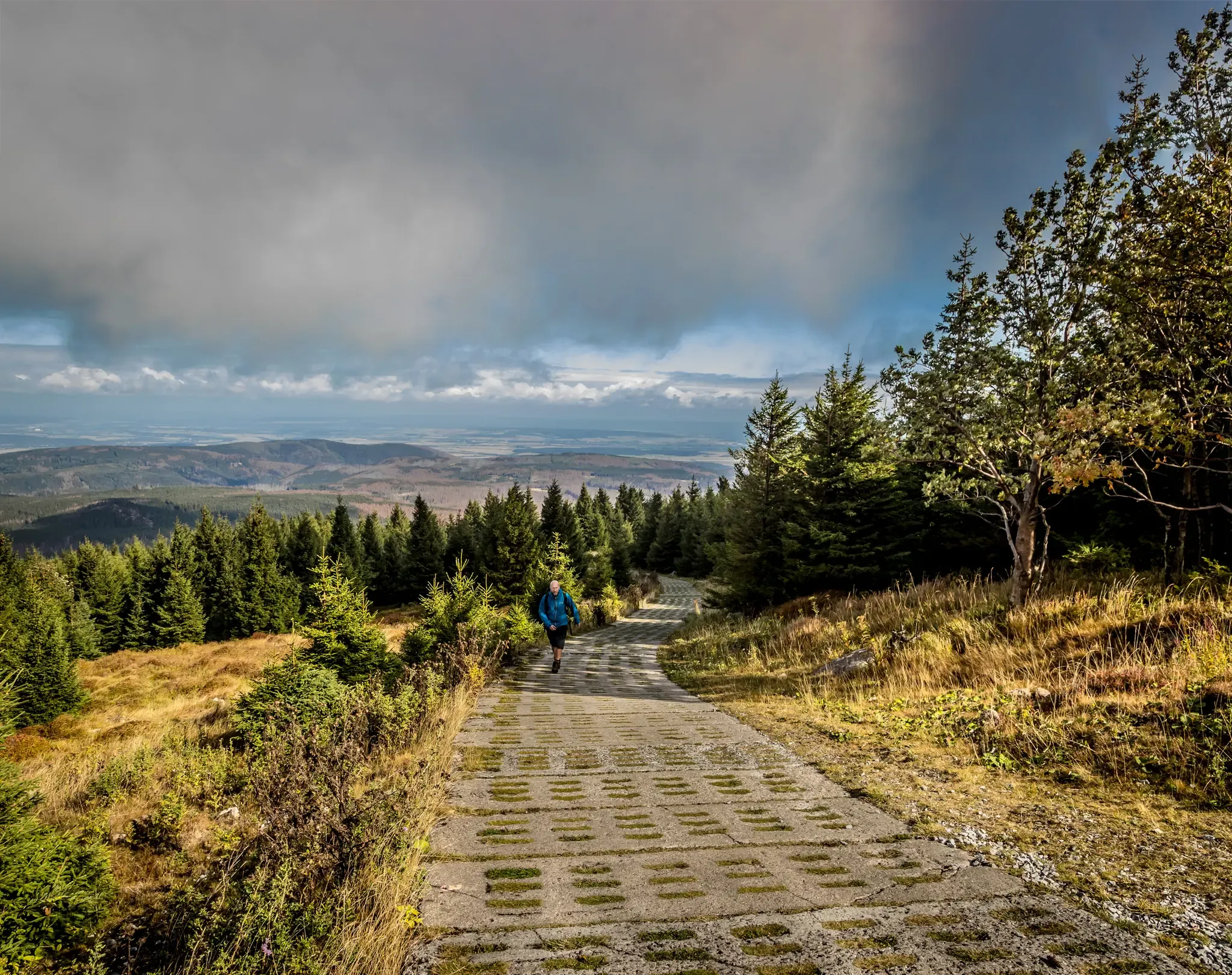
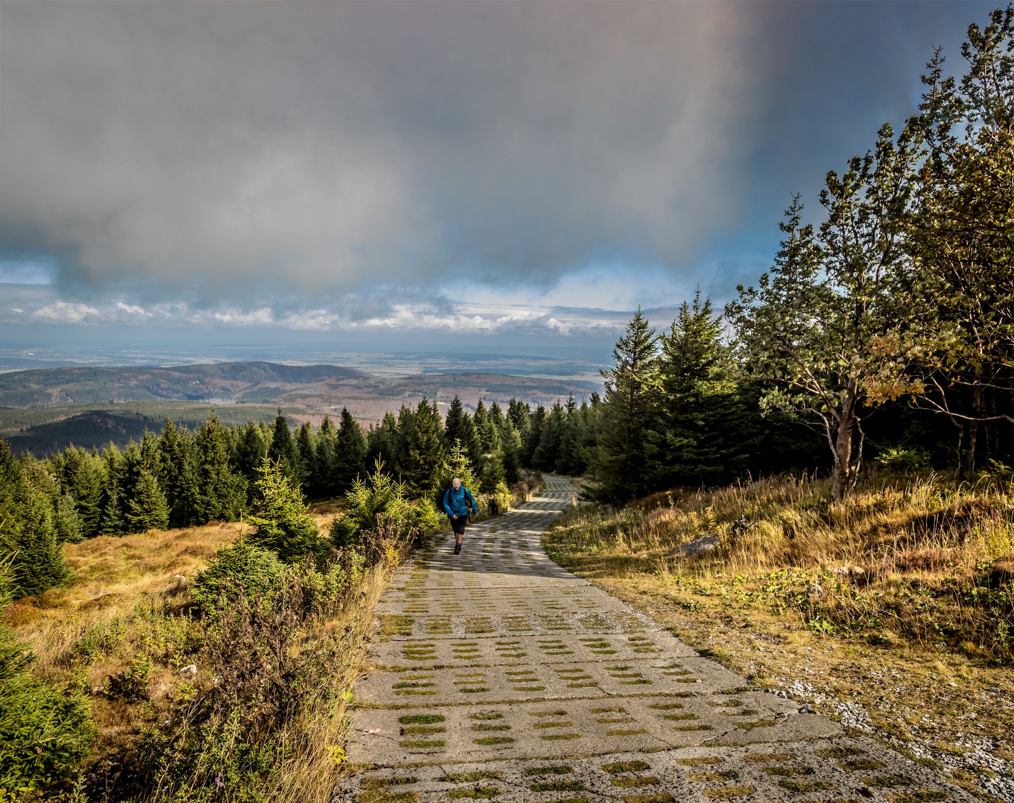
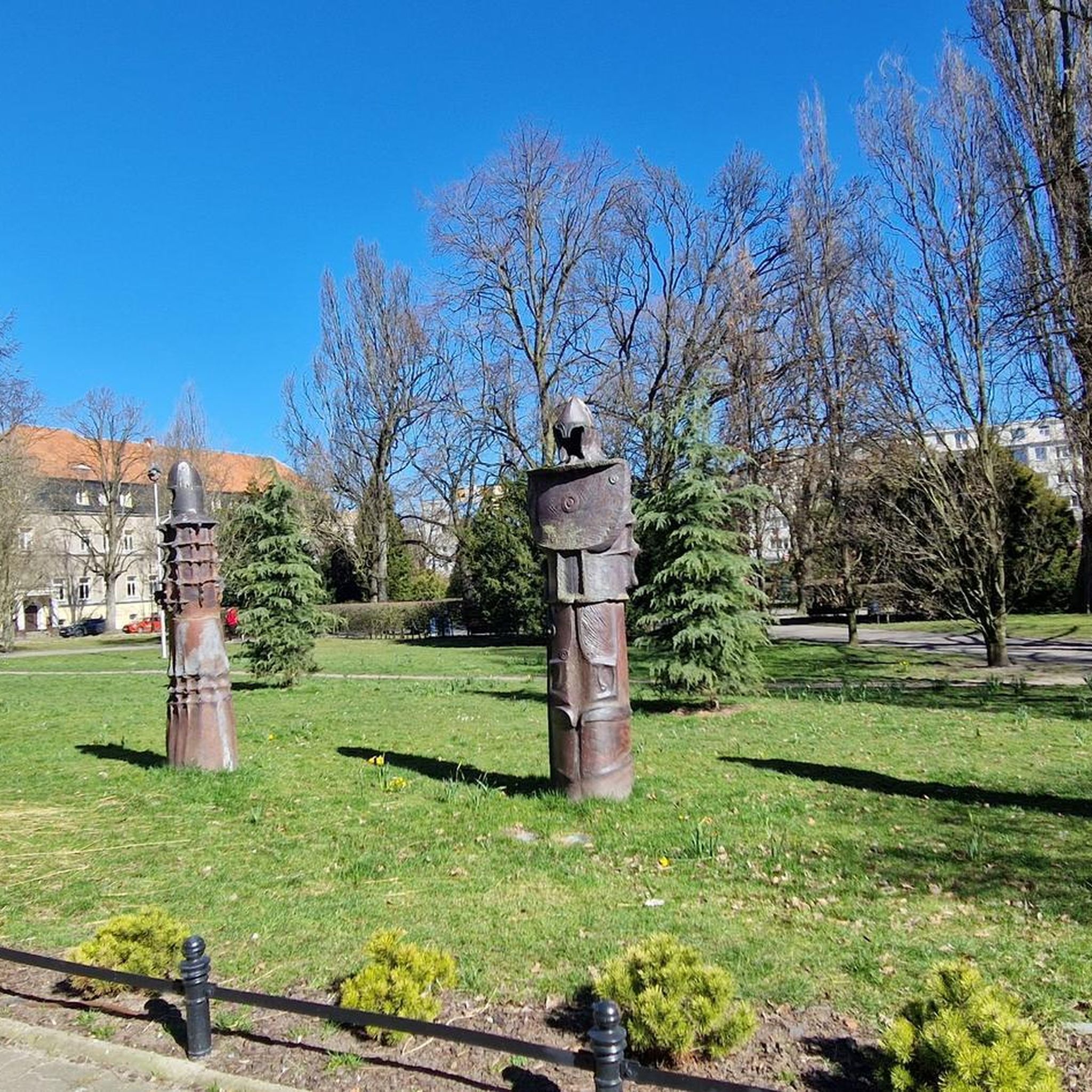
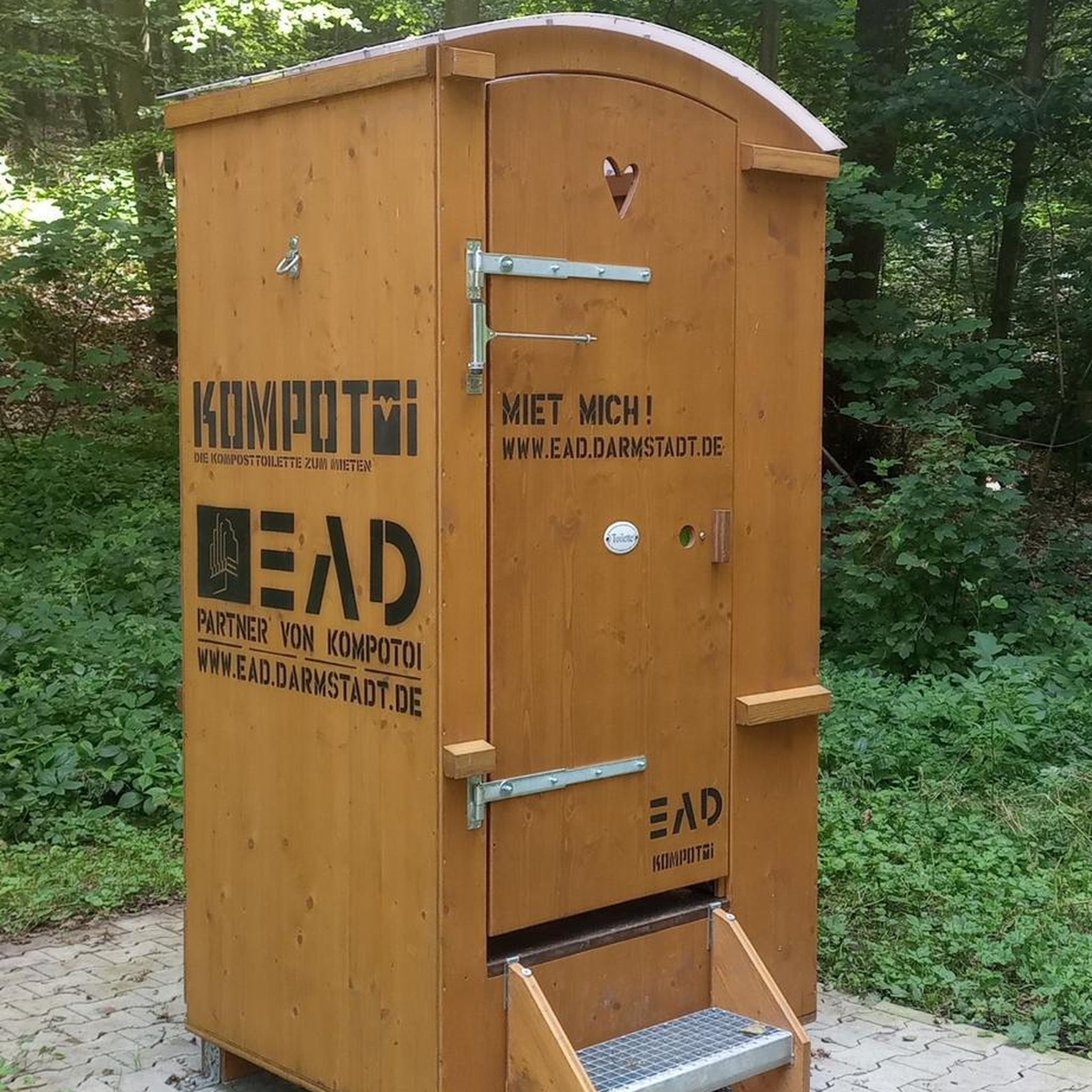


Tips from the Community


The Warme Bode is a barrage-free river in the High Harz region. It forms north of Braunlage from the confluence of the Großer and Kleiner Bode. The approximately five-kilometer-long Große Bode rises in the Bodebruch in the national park area east of Oderbrück, about one kilometer from the source of the Kalter Bode at an elevation of approximately 840 meters above sea level. The Kleine Bode, which rises at the foot of the Achtermannshöhe at an elevation of approximately 770 meters, is only about half as long. About one kilometer below the Bärenbrücke (Bär Bridge), the waters of the Große Bode overcome the Oberer Bode Waterfall. Shortly thereafter, it joins the Kleine Bode to form the Warme Bode. A few hundred meters further downstream, the waters of the Warme Bode plunge down the Unterer Bode Waterfall. After a short distance, the Warme Bode reaches Braunlage. There, its important tributary, the Ulrichswasser, flows in from the west. It then turns eastward, still within the city limits of Braunlage. The Warme Bode now meanders through the river valley it created. Approximately two kilometers beyond Braunlage, the Bremke, which rises on the Wurmberg, flows into the Warme Bode, and after about another three kilometers, the Brunnenbach joins it. The Warme Bode then flows north past Sorge and, after another two kilometers, through the town of Tanne. There, the river turns northeast and flows through its relatively expansive valley toward Königshütte. This wide and very picturesque river valley offers ample space for countless other sweeping meanders. Beyond Tanne, the Allerbach flows into the Warme Bode, and just over a kilometer before Königshütte, the water-rich Spielbach joins it. In Königshütte, at the foot of the mountain with the ruins of the Königsburg castle, it joins the Kalte Bode, which flows from the north and is two degrees cooler, to form the Bode. From the source area of the Große Bode in the Bodebruch to its confluence with the Kalte Bode, the water travels a distance of approximately 23 kilometers, climbing about 400 meters in altitude. In addition to the larger tributaries mentioned above, countless other small rivers and, in some cases, unnamed streams flow into the Warme Bode along this route.
1
0


The Trudenstein is worth a trip and is rewarded with great views when the weather is nice.
15
0

Beautiful path along the railway line to the Brockenstraße junction. Gentle incline, easy to ride path.
2
0

Simply beautiful to see the old railways
1
0
simply fantastic the view to the Brocken
0
0
a dreamlike hiking trail to the Brocken
0
0
Frequently Asked Questions
How many no-traffic touring cycling routes are available in Kramershai?
Kramershai offers a wide selection of no-traffic touring cycling routes, with over 200 options to explore. These routes vary in difficulty, ensuring there's something for every cyclist, from easy rides to more challenging adventures.
Are there any family-friendly no-traffic touring routes in Kramershai?
Yes, Kramershai features several family-friendly no-traffic touring routes. While specific 'easy' routes are available, it's always best to check the route details for distance and elevation to ensure it suits your family's capabilities. Look for routes with lower elevation gain and shorter distances for a more relaxed experience.
What kind of attractions can I see along the no-traffic touring cycling routes in Kramershai?
Along the no-traffic touring cycling routes in Kramershai, you can discover a variety of interesting sights. Highlights include natural features like the Descent from Elend to Braunlage and the Root Trail on the Harzer-Hexen-Stieg. You can also encounter historical sites such as the German-German Border Monument Brehmke and the Former Death Strip (Border Trail).
What do other touring cyclists enjoy most about cycling in Kramershai?
The komoot community highly rates touring cycling in Kramershai, with an average score of 4.5 stars. Reviewers often praise the region's diverse landscapes, the challenge of routes like From Schierke to the Brocken, and the opportunity to explore natural and historical points of interest.
Are there any circular no-traffic touring bike routes in Kramershai?
Yes, Kramershai offers several excellent circular no-traffic touring bike routes. A popular option is the View of the Brocken – Wurmberg Summit loop from Schierke, which provides a challenging yet rewarding experience with stunning views. Another notable loop is the Brocken Summit – Trudenstein (HWN 17) loop from Schierke.
What is the best time of year for touring cycling in Kramershai?
While specific regional weather patterns for Kramershai are not detailed, generally, the spring and autumn months offer pleasant temperatures and fewer crowds for touring cycling. Summer can also be enjoyable, but it's advisable to check local weather forecasts for potential heatwaves or thunderstorms, especially on longer routes.
Are there routes suitable for beginner touring cyclists looking for no-traffic options?
Absolutely. Out of the over 200 no-traffic touring routes in Kramershai, 35 are classified as 'easy'. These routes are ideal for beginners, offering less challenging terrain and shorter distances to help you build confidence and enjoy the scenery without significant traffic concerns.
Where can I find parking for no-traffic bike routes in Kramershai?
Parking availability can vary by route starting point. For routes originating near towns like Schierke or Braunlage, you can often find designated parking areas. It's recommended to check the specific route details on komoot for information regarding parking facilities at or near the trailhead.
Are there any challenging no-traffic touring routes for advanced cyclists in Kramershai?
Yes, advanced cyclists will find plenty of challenging no-traffic routes in Kramershai. There are 95 routes classified as 'difficult', featuring significant elevation gains and longer distances. For example, the Neuer Goetheweg – Brocken Summit loop from Braunlage offers a substantial climb and a rewarding experience for experienced riders.
Can I find cafes or refreshment stops along the no-traffic touring bike trails?
While specific cafes are not listed for every route, many touring cycling routes in regions like Kramershai pass through or near small towns and villages where you can find opportunities for refreshments. For longer routes, it's always a good idea to pack sufficient water and snacks, especially when venturing into more remote areas.
What is the typical duration for no-traffic touring cycling routes in Kramershai?
The duration of no-traffic touring cycling routes in Kramershai varies greatly depending on the route's distance and difficulty. Shorter, moderate routes like the Hexenritt Alpine Pasture – Rodelhaus Braunlage loop might take around an hour, while longer, difficult routes can easily extend to several hours, such as the View of the Brocken – Wurmberg Summit loop from Schierke which typically takes over 3.5 hours.
Most popular routes in Kramershai
Most popular attractions in Kramershai

Get inspired with the komoot mobile app


Explore more
Browse the best Cycling routes in other regions.
