The best hikes from bus stations in Kramershai
4.5
(70534)
242,935
hikers
565
hikes
Bus station hiking trails in Kramershai navigate a landscape characterized by diverse terrain, including prominent ridges, forested hills, and scenic valleys. The region features notable summits and rock formations, offering varied elevation changes throughout its network of paths. Hikers can expect routes that traverse both open areas and denser woodlands, often leading to viewpoints or natural features like waterfalls.
Best bus station hiking trails in Kramershai
- The most popular bus station hiking route is Hohnekamm Ridge – Trudenstein (HWN 17)…
Last updated: September 28, 2026
4.7
(169)
477
hikers
14.0km
04:16
430m
430m
Moderate hike. Good fitness required. Mostly accessible paths. Sure-footedness required.
4.7
(1417)
4,474
hikers
12.0km
03:35
390m
390m
Moderate hike. Good fitness required. Easily-accessible paths. Suitable for all skill levels.

4.8
(212)
731
hikers
7.88km
02:12
160m
160m
Moderate hike. Good fitness required. Easily-accessible paths. Suitable for all skill levels.
4.6
(406)
1,344
hikers
11.2km
03:28
420m
420m
Moderate hike. Good fitness required. Easily-accessible paths. Suitable for all skill levels.
4.8
(263)
910
hikers
24.4km
07:21
790m
790m
Hard hike. Very good fitness required. Mostly accessible paths. Sure-footedness required.
Get access to more routes and recommendations from other explorers.
Already have an account?
Our route recommendations are based on thousands of hikes, rides, and runs completed by other people on komoot.
Start today with a free account
Your next adventure awaits.


Tips from the Community

Great view of the Brocken.
2
0

On the Wurmberg, you have several beautiful views of the Brocken. E.g. from the summit cross, from the start of the bike route, when you walk around the reservoir ..
3
0

Beautiful spot for a rest bench, one likes to linger here a bit longer
0
0
You can sit well on the boulders
0
0

Great place for young and old, upstairs there is even a small adventure playground by the pond.
0
0

The journey is the destination - not always easy terrain, but very beautiful in dry weather
1
0

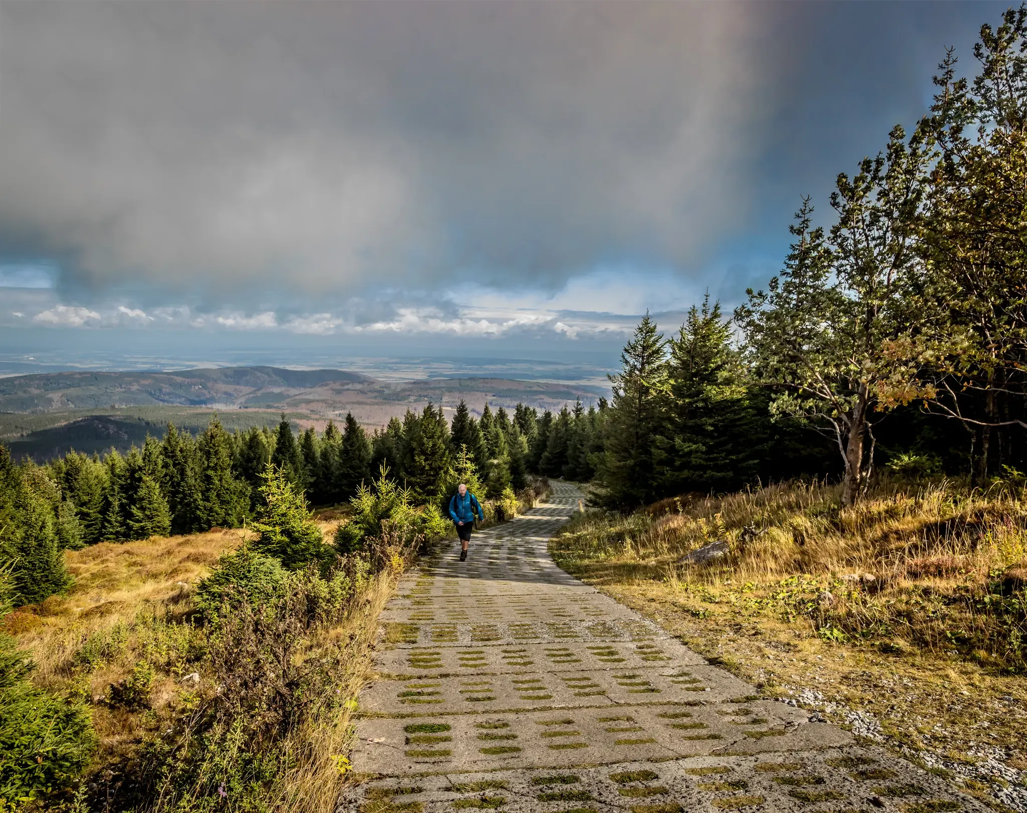
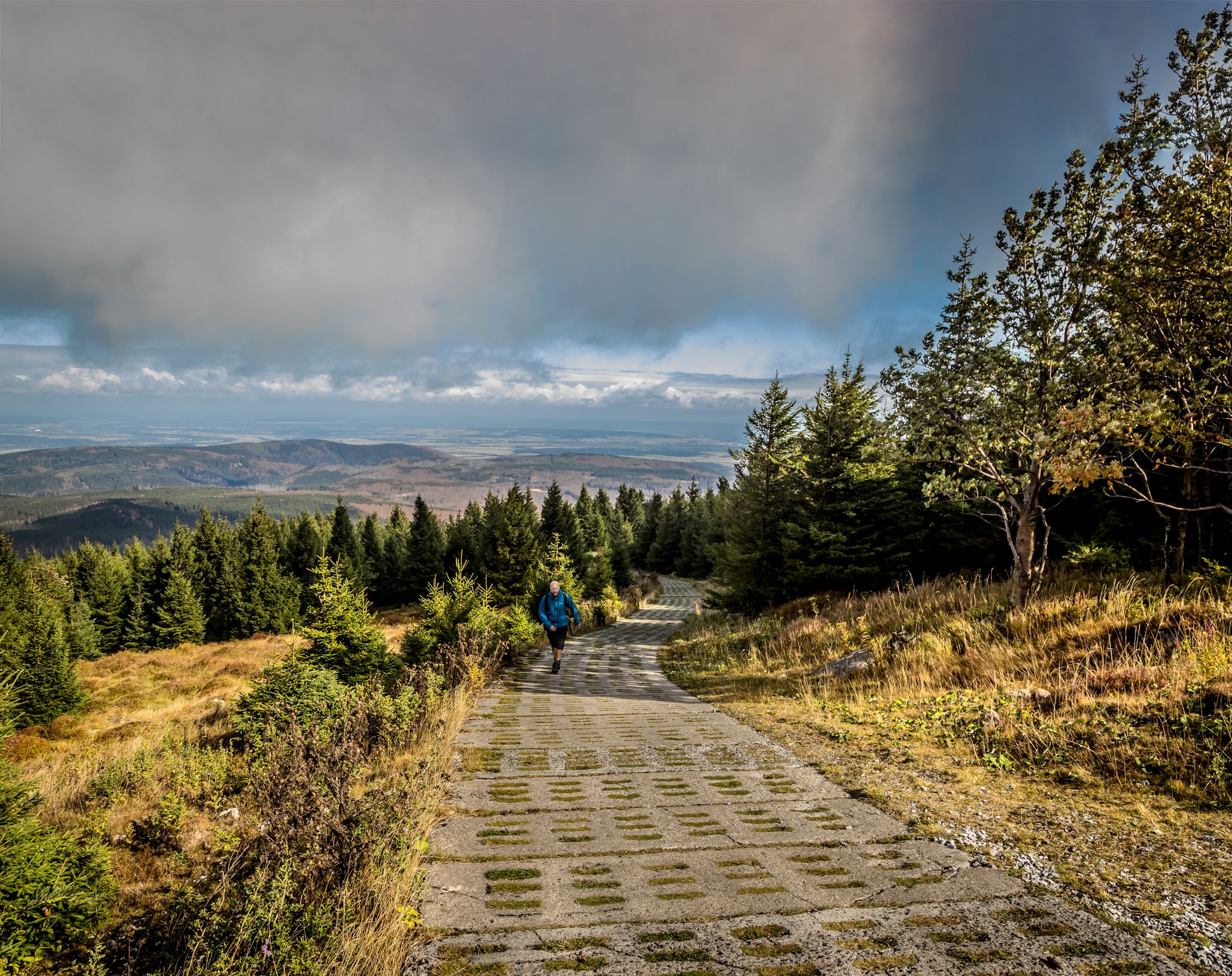
Very steep but special path upwards towards the Wurmberg. You climb quickly and also quickly enjoy particularly beautiful views over the rest of the Harz.
3
0

Going uphill, the path feels increasingly steep
2
0
Frequently Asked Questions
How many bus station hiking trails are available in Kramershai?
Kramershai offers a wide selection of hiking trails accessible directly from bus stations, with over 540 routes to choose from. This includes 193 easy, 269 moderate, and 86 difficult trails, ensuring options for every skill level.
What do other hikers enjoy most about the trails in Kramershai?
The komoot community highly rates the hiking experience in Kramershai, with an average score of 4.55 stars from over 60,000 ratings. Hikers frequently praise the diverse landscapes, from serene lake views to riverine forests, and the well-maintained trails that make exploring the region enjoyable.
Are there any circular hiking routes starting from bus stations in Kramershai?
Yes, many routes are designed as circular walks, allowing you to start and end at the same bus station. For example, consider the Wurmberg Summit – View of the Mäuseklippe loop from Schierke, a moderate 11.6 km hike, or the shorter, moderate Mäuseklippen – Schnarcherklippen loop from Elendstal at 6 km.
Are there family-friendly hiking options from bus stations in Kramershai?
Absolutely. Many of the 193 easy trails are suitable for families. While specific family-focused routes aren't detailed here, look for shorter, flatter options. The region's natural parks often feature well-maintained nature trails that are perfect for all ages, offering a chance to explore local flora and fauna.
Can I bring my dog on these bus station hikes?
Generally, dogs are welcome on most hiking trails in Kramershai, especially if kept on a leash. However, it's always best to check specific park regulations or individual route descriptions on komoot, as some protected areas or trails might have restrictions. Remember to bring water for your dog and clean up after them.
Are there any hikes that feature waterfalls near Kramershai bus stations?
Yes, you can find routes that include waterfalls. The Lower Bode Waterfall – Wurmberg Summit loop from Braunlage is a moderate 12 km hike that allows you to experience the beauty of the Lower Bode Waterfall.
What kind of natural attractions can I expect to see on these trails?
The trails in Kramershai offer diverse natural beauty. You can expect to see features like Kraemer Lake, riverine forests, and gentle hills. Many routes provide scenic views, such as those from the Wurmberg Summit, and opportunities to observe natural transitions like maple sap collection operations in spring. You can also explore the Root Trail on the Harzer-Hexen-Stieg.
What are some interesting historical sites or landmarks accessible from bus station hikes?
Kramershai offers several points of historical interest. You can visit the German-German Border Monument Brehmke or explore the Former Death Strip (Border Trail), which provides a glimpse into the region's past.
What is the best time of year to hike in Kramershai?
Kramershai offers hiking opportunities year-round. Spring brings melting snow and vibrant greenery, though trails can be muddy. Summer is ideal for warmer, longer hikes. Autumn showcases beautiful fall foliage. Even winter offers unique experiences, with some trails used for skiing but also suitable for hiking, especially when snow is not too deep.
Are there accessible hiking trails for all abilities from bus stations?
While many trails are rated easy, specific accessibility for wheelchairs or strollers can vary. The region's parks often feature well-maintained nature trails that are generally flatter and wider. It's recommended to check individual route details on komoot for specific information on terrain and gradient to ensure suitability for all abilities.
Are there any long-distance or challenging hikes available from bus stations?
Yes, for experienced hikers looking for a challenge, Kramershai offers several difficult routes. An example is the Hohnekamm Ridge – Trudenstein (HWN 17) loop from Schierke, a demanding 20.7 km hike with significant elevation changes.
Most popular routes in Kramershai
Most popular attractions in Kramershai

Get inspired with the komoot mobile app


Explore more
Browse the best Hikes in other regions.
