Naturschutzgebiet Lange-Damm-Wiesen Und Unteres Annatal
Naturschutzgebiet Lange-Damm-Wiesen Und Unteres Annatal
The best city hikes and walks in Naturschutzgebiet Lange-Damm-Wiesen Und Unteres Annatal
4.6
(13942)
48,209
hikers
52
hikes
Urban hiking trails in Naturschutzgebiet Lange-Damm-Wiesen Und Unteres Annatal traverse a landscape shaped by ice age formations, including elevated "Oser" hills and subglacial channels. The region features diverse meadows, ranging from dry, steppe-like communities to nutrient-rich fens, alongside wetlands with numerous ditches and ponds. The Annatal, an erosion valley of the Beckerfließ stream, adds further topographical variety to the area. This nature reserve offers varied terrain for urban exploration, with elevations typically rising five to ten meters above the surrounding…
Last updated: October 26, 2026
4.9
(7)
20
hikers
Moderate hike. Good fitness required. Easily walkable paths.
4.5
(10)
21
hikers
Moderate hike. Good fitness required. Easily walkable paths.

5.0
(2)
9
hikers
7.11km
01:49
20m
20m
Easy hike. Easily walkable paths.
3.0
(1)
9
hikers
Easy hike. Easily walkable paths.
10
hikers
Easy hike. Easily walkable paths.
Get access to more routes and recommendations from other explorers.
Already have an account?
Our route recommendations are based on thousands of hikes, rides, and runs completed by other people on komoot.
Start today with a free account
Your next adventure awaits.
Popular around Naturschutzgebiet Lange-Damm-Wiesen Und Unteres Annatal
Other adventures in Naturschutzgebiet Lange-Damm-Wiesen Und Unteres Annatal


Tips from the Community

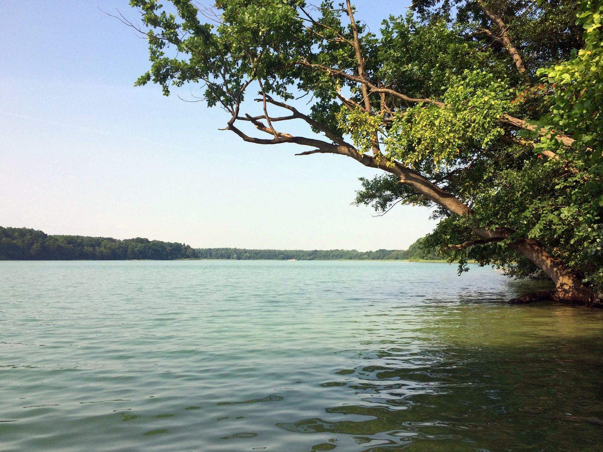
One of the few places on the south side of the peat bog lake where you can get right up to the shore.
0
0

exciting and stimulating
0
0
This describes the Straussee lake.
0
0
Santiago de Compostela is the destination; part of the journey begins here.
0
0
beautifully designed
0
0
Even electrical boxes can be beautifully designed.
0
0
between Berlin, Barnim and Oderbruch
0
0
Frequently Asked Questions
How many urban hiking trails are available in Naturschutzgebiet Lange-Damm-Wiesen Und Unteres Annatal?
There are over 50 urban hiking trails in Naturschutzgebiet Lange-Damm-Wiesen Und Unteres Annatal. The majority, around 49, are rated as easy, with a few moderate options for those seeking a bit more challenge.
What kind of natural features can I expect to see on urban hikes here?
The region is shaped by the last ice age, featuring unique 'Oser' – elevated, dam-like hills – and the erosion valley of the Beckerfließ stream, known as the Annatal. You'll encounter diverse meadows, from dry, steppe-like areas to nutrient-rich fens, along with numerous ditches, ponds, and groundwater springs. The area is part of a significant nature reserve, offering a rich variety of landscapes.
Are there any interesting landmarks or attractions along the urban hiking trails?
Yes, urban hikes in this area offer several points of interest. You can explore the historic embankment of the former Strausberg-Herzfelde narrow-gauge railway. The trails also provide access to beautiful natural highlights such as the Herrensee South Shore and the Annafließ. You might also encounter the Lange-Damm-Wiesen and Lower Annatal Nature Reserve itself, which is a natural monument.
What do other hikers enjoy most about urban hiking in Naturschutzgebiet Lange-Damm-Wiesen Und Unteres Annatal?
The komoot community highly rates the urban hiking experience here, with an average score of 4.5 stars from over 220 ratings. Hikers often praise the well-maintained trails, the diverse natural landscapes, and the peaceful atmosphere that allows for a refreshing escape within an urban-accessible setting.
Are the urban trails suitable for families with children?
Yes, many of the urban trails are well-suited for families. With 49 out of 54 routes rated as easy, the terrain is generally gentle, making it accessible for various age groups. The diverse flora and fauna, along with features like the Swan Pond, can provide engaging points of interest for children.
Can I bring my dog on the urban hiking trails?
Yes, the Naturschutzgebiet Lange-Damm-Wiesen Und Unteres Annatal is generally dog-friendly. Many trails are suitable for walks with your canine companion. However, as it is a nature reserve, please ensure your dog is kept on a leash, especially to protect the local wildlife and grazing animals like Heck cattle and Konik horses.
Are there circular urban walks available?
Yes, there are several excellent circular urban walks. For example, the Torfstichsee – Strausberg Old Town loop from Strausberg Stadt offers an easy 7 km route, while the Strausberg Old Town – Strausberg Old Town loop from Strausberg Stadt is a shorter, easy 5.4 km option. These routes allow you to start and end at the same point, making planning convenient.
What is the best time of year for urban hiking in this region?
The region offers pleasant hiking experiences throughout much of the year. Spring brings blooming meadows and active wildlife, while autumn showcases beautiful foliage. Summer is also popular, but be mindful of warmer temperatures. Even in winter, the trails can be enjoyed, offering a different, serene perspective of the landscape.
How accessible are the urban trails by public transport?
The trails are generally well-connected to public transport, particularly those starting from Strausberg. Routes like the Strausberg Nord station – Glider Airfield loop from Strausberg Stadt are designed with public transport access in mind, allowing you to reach the starting points easily without a car.
Where can I park for urban hikes in Naturschutzgebiet Lange-Damm-Wiesen Und Unteres Annatal?
Parking is available at various points, especially near the starting locations of many trails in and around Strausberg. For instance, routes originating from Strausberg Stadt often have nearby parking facilities, making it convenient for those arriving by car. Always check local signage for specific parking regulations.
Are there easy urban hikes suitable for beginners?
Absolutely. The majority of urban hikes in this area are rated as easy, making them perfect for beginners or those looking for a relaxed stroll. An excellent option is the Henning Bakery with Café – Hain der Freundschaft Memorial loop from Strausberg, which is an easy 5.1 km route with minimal elevation gain.
What kind of wildlife might I encounter on the urban trails?
The nature reserve is rich in biodiversity. You might spot various bird species, as the reserve is home to 61 breeding bird species. Keep an eye out for insects, with over 1,100 species recorded. You may also see Heck cattle and Konik horses grazing in the Lange Dammwiesen, which are part of the landscape maintenance efforts.
Most popular routes in Naturschutzgebiet Lange-Damm-Wiesen Und Unteres Annatal
Most popular attractions in Naturschutzgebiet Lange-Damm-Wiesen Und Unteres Annatal

Get inspired with the komoot mobile app


Explore more
Browse the best Hikes in other regions.
