Naturschutzgebiet Lange-Damm-Wiesen Und Unteres Annatal
Naturschutzgebiet Lange-Damm-Wiesen Und Unteres Annatal
The best walks and hikes in Naturschutzgebiet Lange-Damm-Wiesen Und Unteres Annatal
4.6
(13247)
45,616
hikers
34
hikes
Hiking trails in Naturschutzgebiet Lange-Damm-Wiesen Und Unteres Annatal traverse a varied terrain shaped by the last ice age, featuring elevated dam-like hills known as Oser and expansive meadow lowlands. The landscape includes higher, sandy plains contrasting with depressions containing thick peat layers. This nature reserve, located near Strausberg, offers a mosaic of meadow ecosystems, from dry, steppe-like communities to nutrient-rich fens, enriched by numerous ditches, ponds, and groundwater springs.
Best hiking trails in Naturschutzgebiet Lange-Damm-Wiesen Und Unteres Annatal
- The most…
Last updated: November 1, 2026
4.5
(83)
297
hikers
4.26km
01:06
20m
20m
Easy hike. Easily walkable paths.
5.0
(36)
132
hikers
Easy hike. Easily walkable paths.

4.5
(80)
292
hikers
4.76km
01:13
20m
20m
Easy hike. Easily walkable paths.
4.4
(5)
14
hikers
Easy hike. Easily walkable paths.
4.7
(3)
21
hikers
Easy hike. Easily walkable paths.
Get access to more routes and recommendations from other explorers.
Already have an account?
Our route recommendations are based on thousands of hikes, rides, and runs completed by other people on komoot.
Start today with a free account
Your next adventure awaits.
Popular around Naturschutzgebiet Lange-Damm-Wiesen Und Unteres Annatal
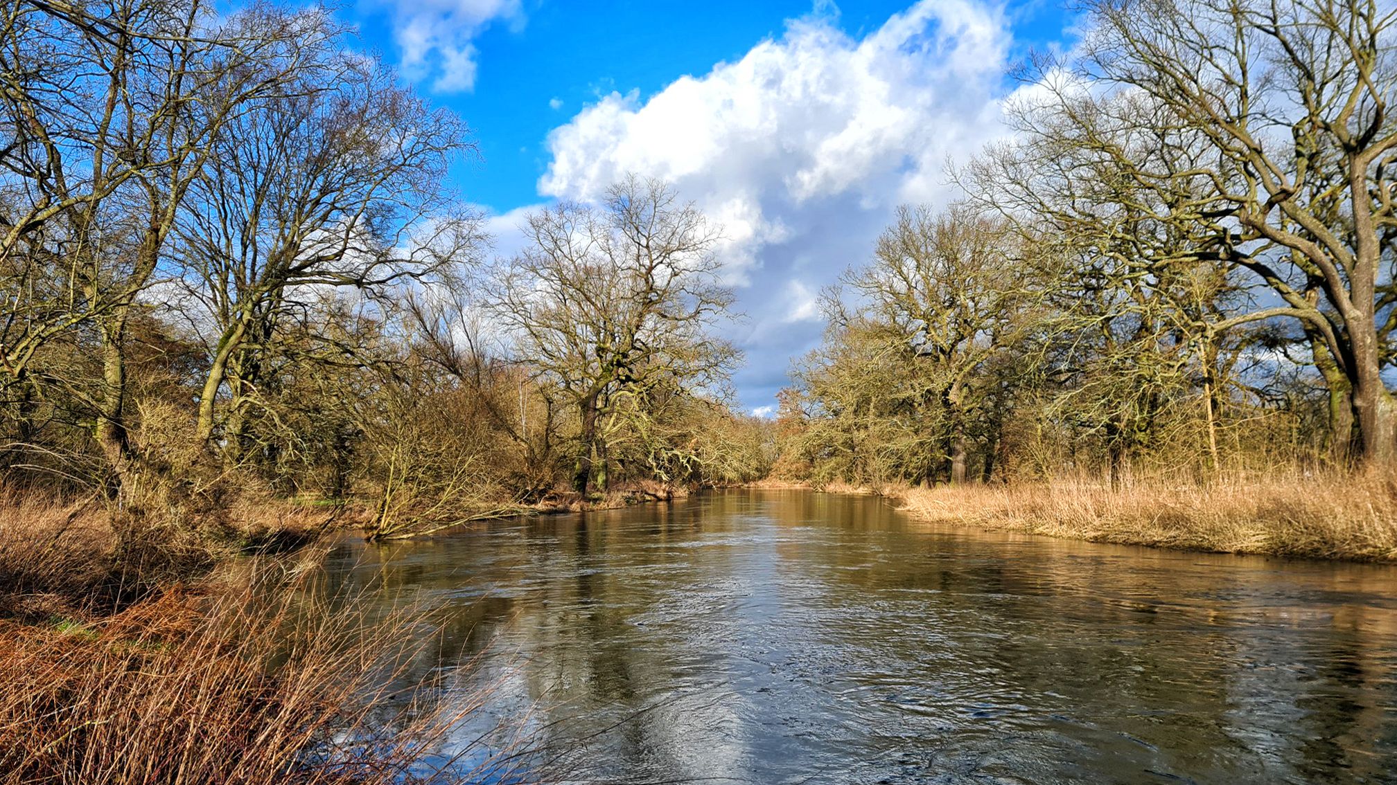
Stage hike 'From the Oder to the Elbe and on to the Saale'
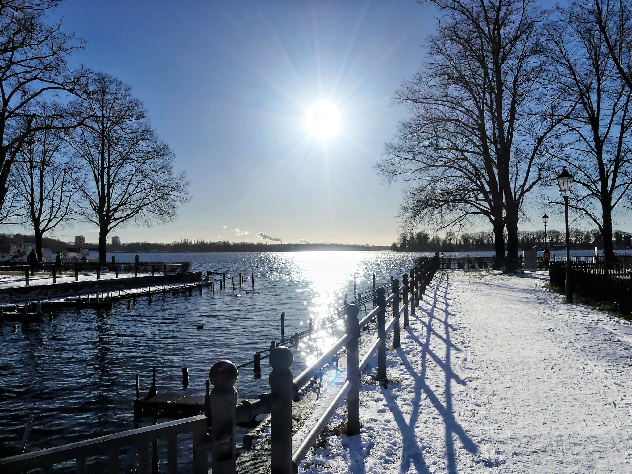
Freezing winter — take the S-Bahn to Berlin's most beautiful winter lakes
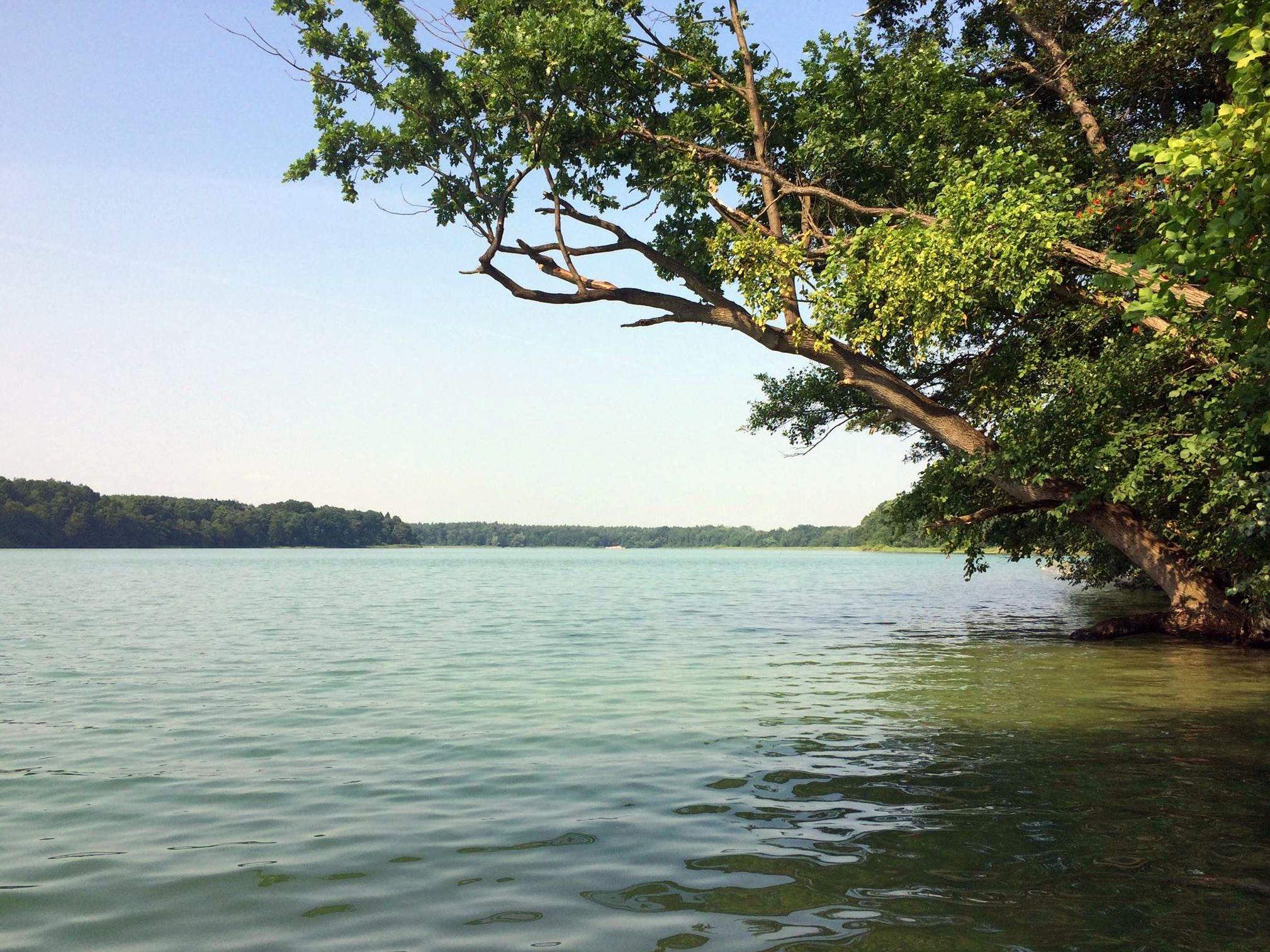
Berlin's sensational swimming lakes

Cycling in Naturschutzgebiet Lange-Damm-Wiesen Und Unteres Annatal

MTB Trails in Naturschutzgebiet Lange-Damm-Wiesen Und Unteres Annatal

Road Cycling Routes in Naturschutzgebiet Lange-Damm-Wiesen Und Unteres Annatal

Running Trails in Naturschutzgebiet Lange-Damm-Wiesen Und Unteres Annatal

Gravel biking in Naturschutzgebiet Lange-Damm-Wiesen Und Unteres Annatal
Other adventures in Naturschutzgebiet Lange-Damm-Wiesen Und Unteres Annatal


Tips from the Community

From the parking lot (free of charge), the ascent leads directly to the Wachtelturm (watchtower) on the right.
0
0
The pond in the Lower Anna Valley is the mill pond, formerly the mill reservoir of the New Mill in the Strausberg district of Neue Mühle.
0
0
The name "Highlight" is incorrect. This is where the rainwater collector from the Hegermühle residential area flows into the Herrensee, and the lake doesn't always carry water, depending on the weather. The Annafließ stream (when it does carry water) flows into the Herrensee on the northeast side. And here, the comments regarding the water level in the Annafließ are indeed (unfortunately) accurate.
0
0

An unusual and very beautiful variant with a round rotating shelf.
0
0


For many years there has been a well-maintained seating area with a table and benches in the middle of the forest and close to the Eastern Railway.
0
0

Frequently Asked Questions
What kind of terrain can I expect when hiking in Naturschutzgebiet Lange-Damm-Wiesen Und Unteres Annatal?
The nature reserve features a varied terrain shaped by the last ice age. You'll encounter elevated dam-like hills, known as Oser, alongside expansive meadow lowlands. The landscape includes higher, sandy plains contrasting with depressions containing thick peat layers, creating a diverse mosaic of habitats.
How many hiking trails are available in the Naturschutzgebiet Lange-Damm-Wiesen Und Unteres Annatal?
There are over 30 hiking trails in Naturschutzgebiet Lange-Damm-Wiesen Und Unteres Annatal. The network offers options for various ability levels, with 22 easy and 11 moderate routes available for exploration.
Are there any easy hiking routes suitable for beginners or families?
Yes, the reserve is well-suited for beginners and families, with 22 easy routes. A great option is the Neue Mühle Ruins and Mill Pond – Bench with a view of Mühlteich loop from Hennickendorf, a 2.3-mile (3.7 km) trail that leads through varied terrain and is often completed in under an hour.
What natural features or attractions can I see along the hiking trails?
Hikers can discover a variety of natural features and attractions. You might encounter the unique Oser hills, diverse meadow ecosystems, and numerous ditches and ponds. Notable highlights include the Herrensee South Shore and the Annafließ river. The Boardwalk along the Großer Stienitzsee also offers scenic views.
Are there any circular hiking routes in the area?
Yes, many routes in the reserve are circular. For example, you can enjoy the Annafließ – Herrensee's silted shoreline loop from Am Stadtwald, an easy 3.0-mile (4.8 km) path that explores the shoreline of Herrensee.
What kind of wildlife can I expect to see while hiking?
The reserve is rich in biodiversity, serving as a refuge for many endangered plant and animal species. Birdwatchers can spot breeding birds like the Sedge Warbler and Whinchat, and larger birds of prey such as Sea Eagles and Ospreys. You might also encounter traditional grazing animals like Heck cattle, Konik horses, sheep, goats, and even water buffalo, which help maintain the diverse landscapes.
What is the best time of year to go hiking in Naturschutzgebiet Lange-Damm-Wiesen Und Unteres Annatal?
The reserve offers unique experiences throughout the year. Spring and summer are ideal for observing the rich flora, including rare orchid species, and diverse birdlife. Autumn brings vibrant colors to the landscape, while winter can offer peaceful, crisp walks, though some paths might be muddy.
Are dogs allowed on the hiking trails?
Generally, dogs are allowed on trails in nature reserves, but they must be kept on a leash to protect the sensitive ecosystems and wildlife. Always check local signage for specific regulations within the Naturschutzgebiet Lange-Damm-Wiesen Und Unteres Annatal.
What do other hikers enjoy most about the trails in this nature reserve?
The area is highly rated by the komoot community, with an average score of 4.5 stars from over 200 reviews. Hikers often praise the varied terrain, the peaceful natural environment, and the opportunity to observe diverse wildlife and unique geological features like the Oser hills.
Is there a longer, more challenging route for experienced hikers?
While most routes are easy to moderate, more experienced hikers can combine trails or explore longer options like the Annafließ at Herrensee – Lake Straussee loop from Hegermühle. This moderate 8.4-mile (13.4 km) route offers a more extensive exploration of the area's diverse landscapes.
Are there any viewpoints along the trails?
Yes, you can find several spots offering good views. The Wachtel Tower, Hennickendorf is a notable viewpoint in the vicinity, providing elevated perspectives of the surrounding landscape.
Most popular routes in Naturschutzgebiet Lange-Damm-Wiesen Und Unteres Annatal
Most popular attractions in Naturschutzgebiet Lange-Damm-Wiesen Und Unteres Annatal

Get inspired with the komoot mobile app


Explore more
Browse the best Hikes in other regions.
