The best traffic-free bike rides in Naturschutzgebiet - Westteil Des Toten Gebirges
4.5
(124)
5,069
riders
10
rides
No traffic road cycling routes in Naturschutzgebiet - Westteil Des Toten Gebirges traverse a distinctive landscape characterized by dramatic karst topography and extensive high plateaus. The region features rugged mountain ridgelines, numerous mountain lakes such as Grundlsee, and areas shaped by glacial erosion. While parts are vegetation-free, diverse biotopes with forests and alpine pastures are also present, offering varied terrain for road cyclists.
Best no traffic road cycling routes in Naturschutzgebiet - Westteil Des Toten Gebirges
- The most popular no…
Last updated: July 8, 2026
7
riders
15.3km
00:44
210m
210m
Easy road ride. Great for any fitness level. Mostly well-paved surfaces and easy to ride.
4.9
(8)
259
riders
22.6km
01:37
840m
840m
Moderate road ride. Good fitness required. Mostly well-paved surfaces and easy to ride.

Sign up for free
107
riders
21.3km
01:33
790m
790m
Moderate road ride. Good fitness required. Mostly well-paved surfaces and easy to ride.
5.0
(3)
115
riders
37.1km
02:23
980m
980m
Hard road ride. Very good fitness required. Some segments of this route may be unpaved and difficult to ride.
5.0
(2)
87
riders
68.0km
03:05
540m
540m
Moderate road ride. Good fitness required. Mostly well-paved surfaces and easy to ride.
Get access to more routes and recommendations from other explorers.
Sign up for free
Already have an account?
Our route recommendations are based on thousands of hikes, rides, and runs completed by other people on komoot.
Start today with a free account
Your next adventure awaits.
Login or Signup
Popular around Naturschutzgebiet - Westteil Des Toten Gebirges

North Alpine Trail 01 – Hike across Austria in 49 days
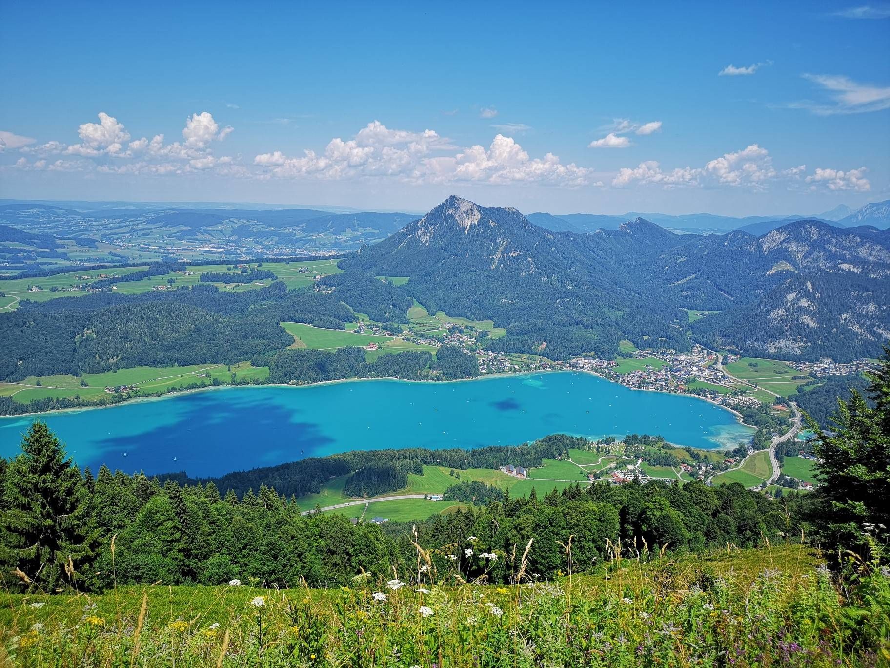
BergeSeen Trail – Long distance hiking in Austria's Salzkammergut with mountains and lakes galore
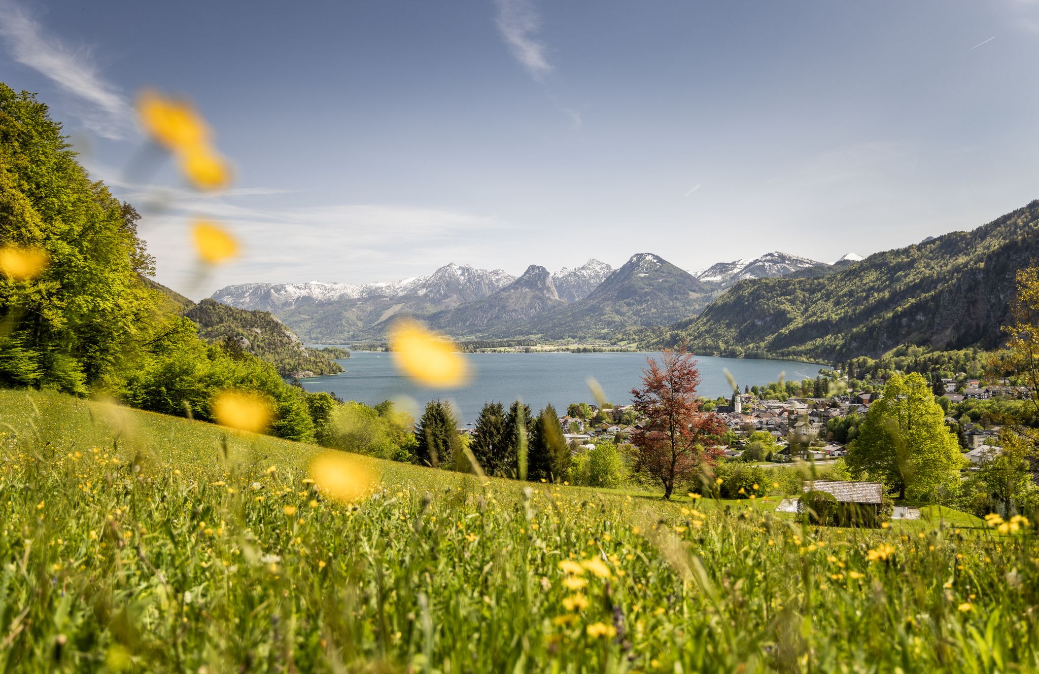
Between water and rock – hiking in Salzkammergut
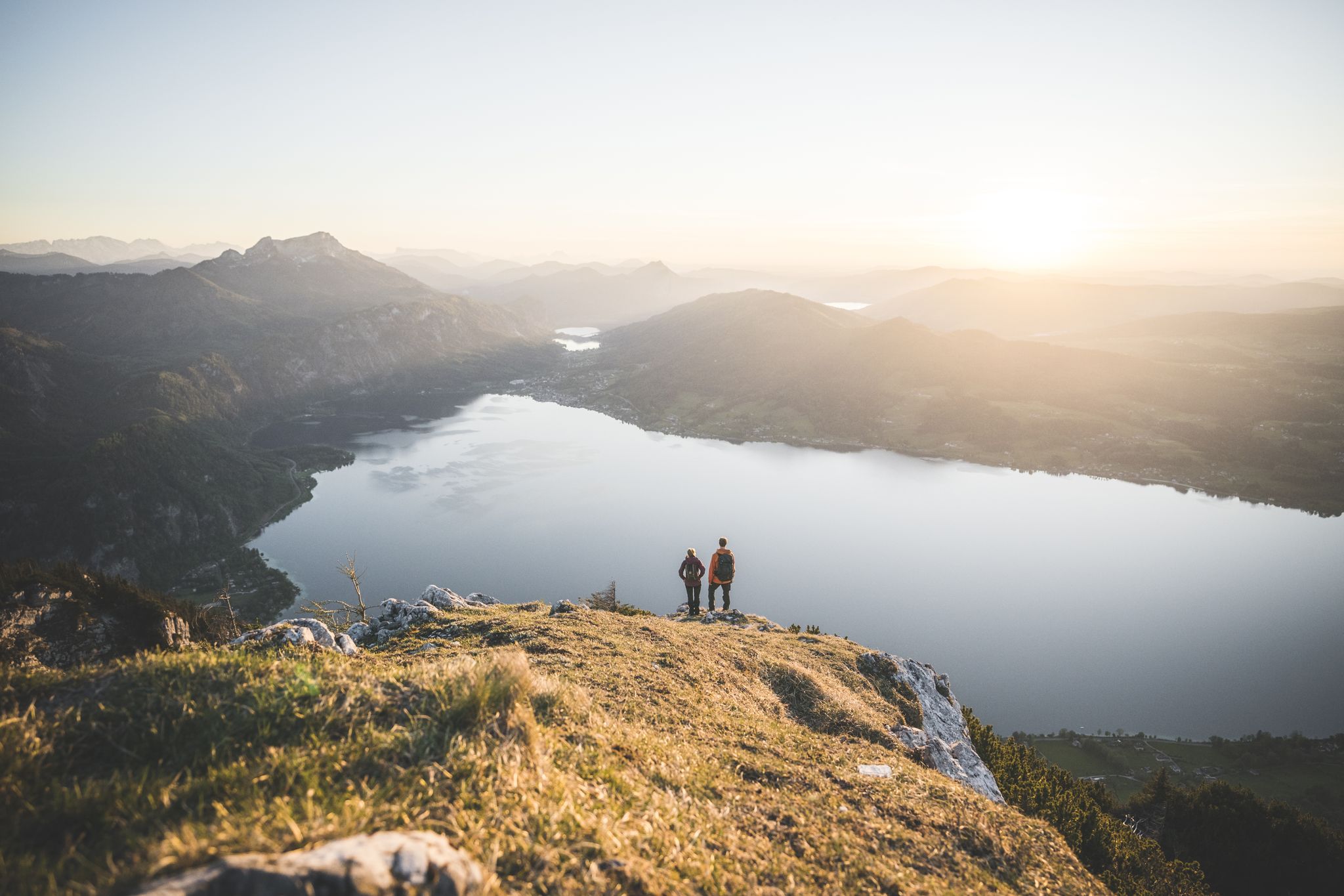
Explore the Salzkammergut on the BergeSeen Trail
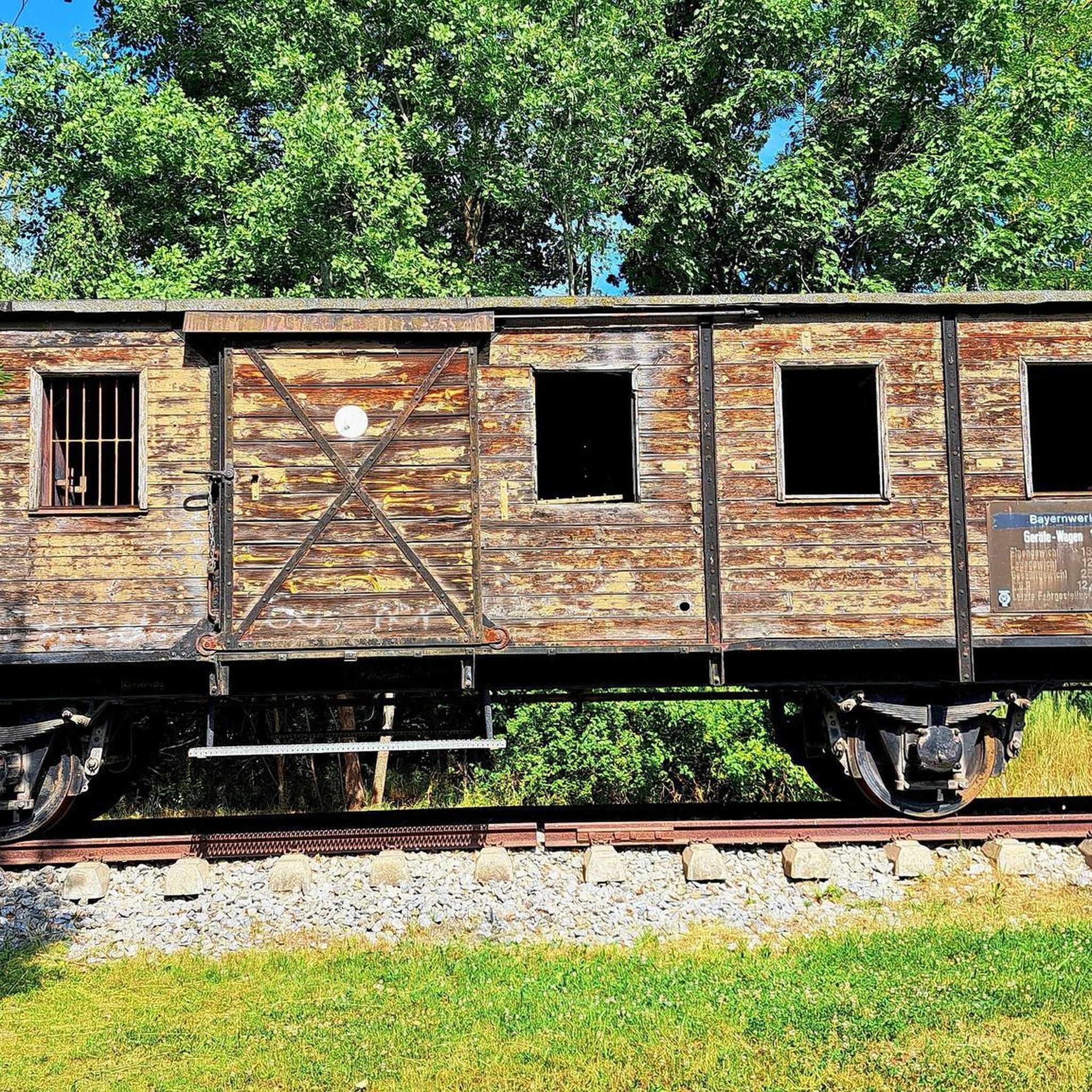
Traffic-free bike rides in Naturschutzgebiet - Westteil Des Toten Gebirges
Traffic-free bike rides in Naturschutzgebiet - Westteil Des Toten Gebirges
Other adventures in Naturschutzgebiet - Westteil Des Toten Gebirges


Tips from the Community


Many options for hiking short, long loops or summits.
0
0

Cycling is prohibited from the parking lot, but as long as you stay on the road to Steirersee and cycle carefully and at a leisurely pace, there will be no problems.
0
0

Ready for this scenic, yet strenuous climb? 9.9 kilometers, over 800 meters of elevation gain, and an average gradient of 8.1 percent. The toll road winds its way through the forest in beautiful switchbacks – a stunning panorama awaits at the top. Start early, bring water – there are no supplies along the way!
1
0
Very pleasant, steady ascent, easily manageable even without electric power! Fast descent and really great --> the road is closed to cars when the lift is in operation - which makes MTB riding a car-free pleasure!
0
1
scenically beautiful endpoint with a view of the Dachstein after a long but beautiful ascent with the MTB
0
0
Frequently Asked Questions
How many no-traffic road cycling routes are available in Naturschutzgebiet - Westteil Des Toten Gebirges?
There are 10 dedicated no-traffic road cycling routes in the Naturschutzgebiet - Westteil Des Toten Gebirges, ranging from easy to difficult. This selection ensures a suitable ride for various skill levels.
What makes the Naturschutzgebiet - Westteil Des Toten Gebirges unique for no-traffic road cycling?
The region offers a distinctive blend of dramatic karst topography, extensive high plateaus, and striking rock faces. Despite its name 'Dead Mountains,' you'll find diverse landscapes, including numerous mountain lakes and impressive peaks, all shaped by glacial formations. These features provide a scenic and varied backdrop for quiet road cycling.
Are there easy no-traffic road cycling routes suitable for beginners or families?
Yes, there are 3 easy no-traffic road cycling routes perfect for beginners or families. A great option is the Grundlsee loop from Kendl, which offers a gentle ride around the beautiful lake with minimal elevation gain.
Can I find challenging no-traffic road cycling routes with significant climbs?
Absolutely. For experienced cyclists seeking a challenge, there are 2 difficult no-traffic road cycling routes. The Kulm Ski Flying Hill loop from Skiflugschanze Kulm, for instance, covers 37 km with nearly 1000 meters of elevation gain, providing a demanding and rewarding experience.
What are some notable landmarks or natural features I can see along these routes?
Many routes offer stunning views and pass by significant natural features. You can encounter beautiful mountain lakes like Lake Toplitz or Wildensee. Impressive peaks such as the Loser Summit are also accessible or visible from various points, offering panoramic vistas of the surrounding landscape.
Are there any loop routes for no-traffic road cycling in the area?
Yes, many of the no-traffic road cycling routes are designed as loops, allowing you to start and finish at the same point. Examples include the Loser Panoramic Road loop from Altaussee and the Tauplitzalm parking lot – Tauplitzalm loop from Krallersee, providing convenient circular tours.
What is the best time of year for no-traffic road cycling in Naturschutzgebiet - Westteil Des Toten Gebirges?
The best time for road cycling in this region is typically from late spring to early autumn (May to October). During these months, the weather is generally more stable, and mountain passes are clear of snow, offering optimal conditions to enjoy the scenic routes and avoid the higher precipitation common in other seasons.
Where can I find parking for these no-traffic road cycling routes?
Parking is often available near the starting points of many routes. For example, the Tauplitzalm parking lot – Tauplitzalm loop from Krallersee explicitly mentions a parking lot at its start. It's advisable to check the specific route details on komoot for designated parking areas.
Are there any cafes or places to stop for refreshments along the no-traffic road cycling routes?
While specific cafes are not listed for every route, the region is known for its alpine huts and guesthouses. For instance, the Loserhütte and Bad Ischl Hut are located in areas popular with outdoor enthusiasts, offering opportunities for refreshments. Many routes pass through or near villages where you can find local establishments.
What do other road cyclists enjoy most about road cycling in Naturschutzgebiet - Westteil Des Toten Gebirges?
The area is highly rated by the komoot community, with an average score of 4.56 stars from over 110 ratings. Reviewers often praise the stunning mountain scenery, the quiet roads perfect for no-traffic cycling, and the diverse terrain that caters to both leisurely rides and challenging climbs.
Are there any routes that offer panoramic views?
Yes, several routes provide breathtaking panoramic views. The Loser Panoramic Road loop from Altaussee is specifically designed to showcase expansive vistas of the surrounding mountains and valleys, including views towards the Dachstein massif and Altaussee.
Most popular routes in Naturschutzgebiet - Westteil Des Toten Gebirges
Most popular attractions in Naturschutzgebiet - Westteil Des Toten Gebirges

Get inspired with the komoot mobile app


Explore more
Browse the best Road cycling routes in other regions.
