The best mountain hikes in Naturschutzgebiet - Westteil Des Toten Gebirges
4.7
(271)
4,186
hikers
10
hikes
Mountaineering routes in Naturschutzgebiet - Westteil Des Toten Gebirges traverse a landscape characterized by alpine terrain, including prominent peaks and high-altitude lakes. The region features a mix of rocky ascents and open mountain paths, offering varied conditions for mountaineers. Elevations range significantly, with routes often leading to panoramic viewpoints. The area's geology contributes to its distinct mountain environment.
Best mountaineering routes in Naturschutzgebiet - Westteil Des Toten Gebirges
- The most popular mountaineering route is Loser Window – Lake Augstsee loop…
Last updated: July 5, 2026
5.0
(12)
131
hikers
5.18km
02:33
400m
400m
Hard mountaineering route. Good fitness required. Sure-footedness, sturdy shoes and alpine experience required.
5.0
(1)
41
hikers
3.79km
02:32
410m
410m
Hard mountaineering route. Good fitness required. Sure-footedness, sturdy shoes and alpine experience required.

Sign up for free
45
hikers
6.05km
03:34
520m
520m
Hard mountaineering route. Good fitness required. Sure-footedness, sturdy shoes and alpine experience required.
15
hikers
3.87km
02:01
330m
330m
Moderate mountaineering route. Good fitness required. Mostly accessible paths. Sure-footedness required.
3.0
(1)
11
hikers
11.5km
04:26
510m
510m
Hard mountaineering route. Good fitness required. Sure-footedness, sturdy shoes and alpine experience required.
Get access to more routes and recommendations from other explorers.
Sign up for free
Already have an account?
Our route recommendations are based on thousands of hikes, rides, and runs completed by other people on komoot.
Start today with a free account
Your next adventure awaits.
Login or Signup
Popular around Naturschutzgebiet - Westteil Des Toten Gebirges

North Alpine Trail 01 – Hike across Austria in 49 days
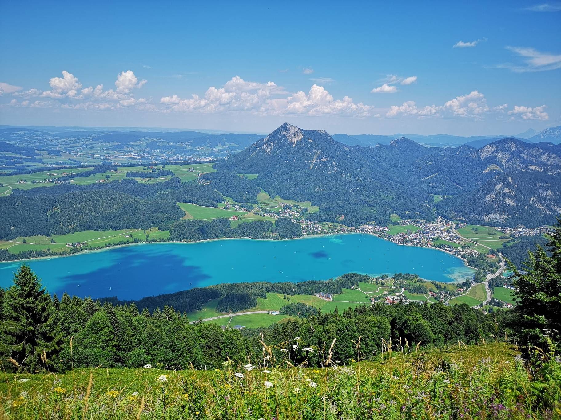
BergeSeen Trail – Long distance hiking in Austria's Salzkammergut with mountains and lakes galore
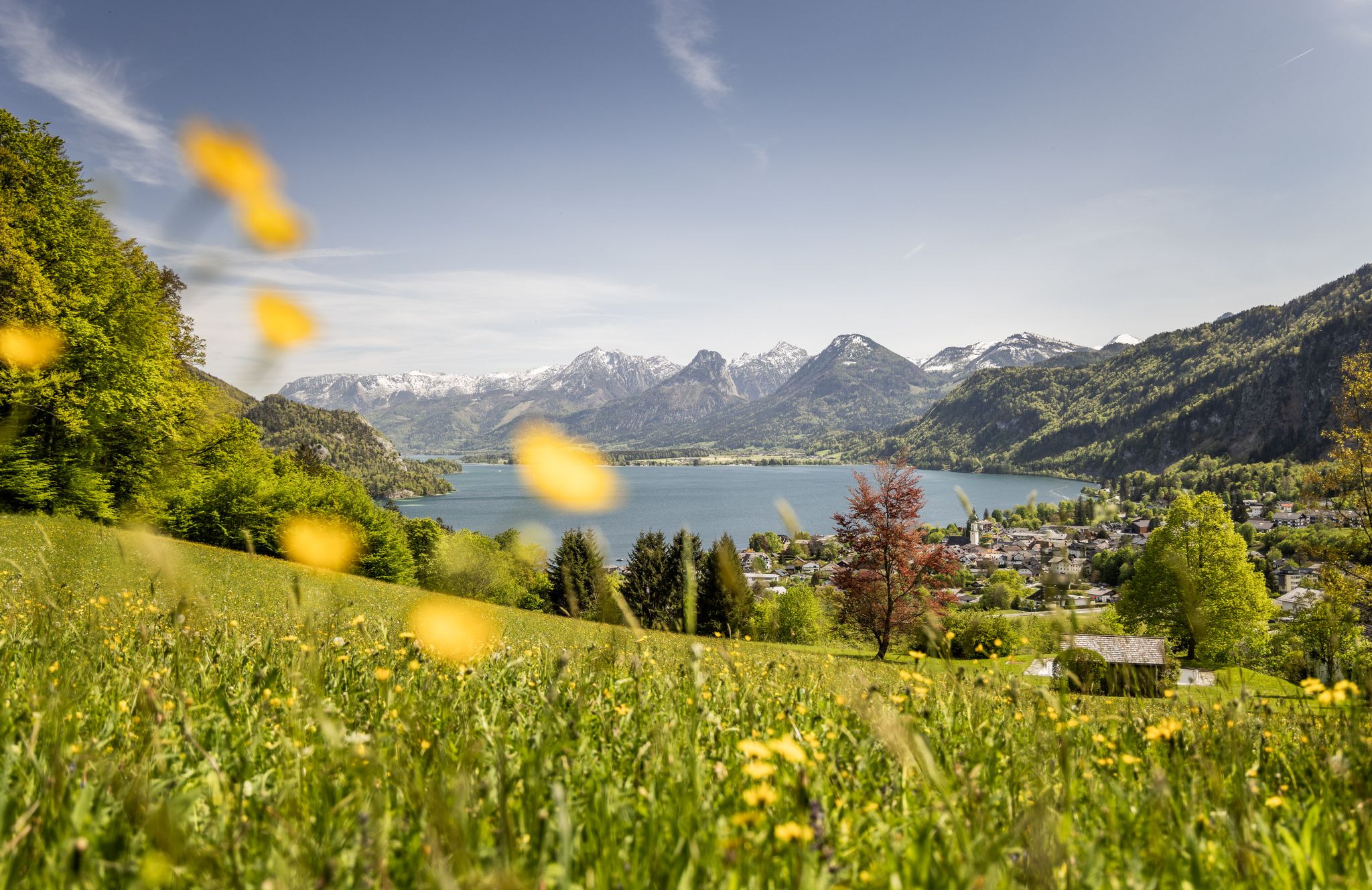
Between water and rock – hiking in Salzkammergut
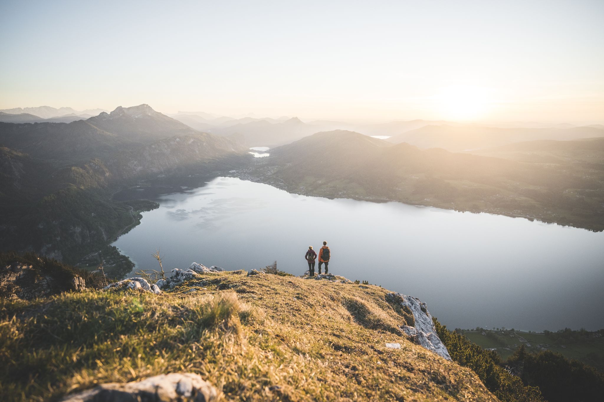
Explore the Salzkammergut on the BergeSeen Trail
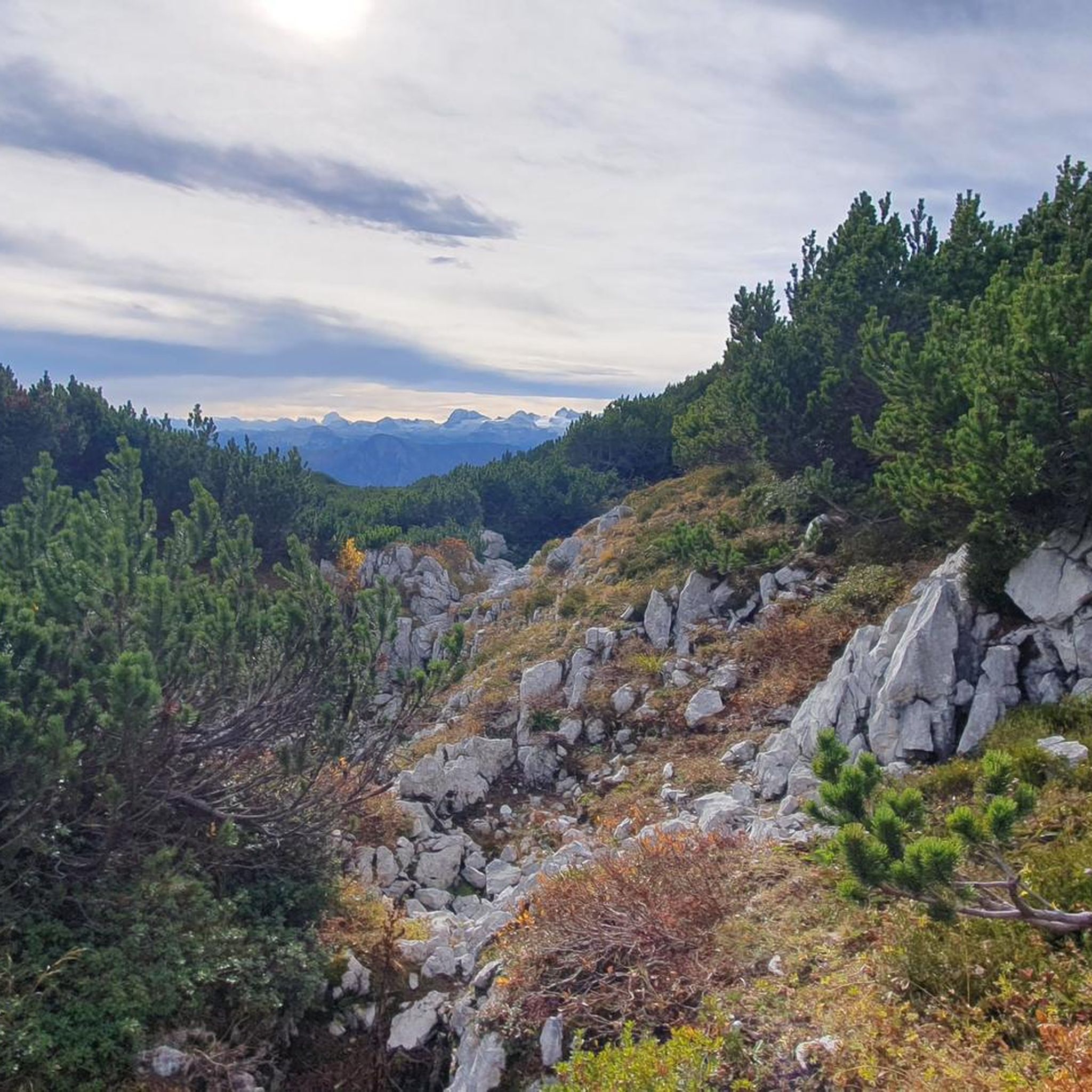
Hiking in Naturschutzgebiet - Westteil Des Toten Gebirges
MTB Trails in Naturschutzgebiet - Westteil Des Toten Gebirges
Road Cycling Routes in Naturschutzgebiet - Westteil Des Toten Gebirges
Cycling in Naturschutzgebiet - Westteil Des Toten Gebirges
Running Trails in Naturschutzgebiet - Westteil Des Toten Gebirges
Gravel biking in Naturschutzgebiet - Westteil Des Toten Gebirges
Other adventures in Naturschutzgebiet - Westteil Des Toten Gebirges


Tips from the Community

Beautiful, gradual route up. Nice path to walk.
0
0

Two hours from the mountain station, a bit of a climb, hiking boots required. Magnificent views along the way.
0
0

Also called "Loser Panorama Via Ferrata" - more of a long traverse with a bit of up and down, always beautiful views and not too difficult.
3
0

Very nice hut with good food and great view
1
0

The conditions for a day of snowshoeing in Altaussee are quickly created: simply ask at the reception of the AlpenParks Hagan Lodge Altaussee about rental equipment for snowshoeing. What you should bring with you: sturdy high hiking boots (not ski boots), appropriate hiking clothing, gloves, hat, sunglasses, small backpack with water bottle.
1
0
The Hochanger is a 1837 meter high peak and a stage destination on the way to the Loser.
1
0

Wonderful hiking area around the Bräuningalm.
2
0
Frequently Asked Questions
How many mountaineering routes are available in Naturschutzgebiet - Westteil Des Toten Gebirges?
There are over 10 dedicated mountaineering routes in Naturschutzgebiet - Westteil Des Toten Gebirges, offering a range of challenging ascents and scenic loops through the alpine landscape.
What is the general difficulty of mountaineering routes in Naturschutzgebiet - Westteil Des Toten Gebirges?
The majority of mountaineering routes in this region are classified as difficult, with 8 out of 11 routes requiring significant experience and fitness. There are also 3 moderate routes available for those seeking a slightly less strenuous challenge.
Are there any circular mountaineering routes in Naturschutzgebiet - Westteil Des Toten Gebirges?
Yes, many of the routes are designed as loops, allowing you to start and end at the same point. For example, the Loser Window – Lake Augstsee loop from Altausseer See is a popular circular option, as is the Summit cross on Loser – Loser Window loop from Altausseer See.
What kind of views can I expect on these mountaineering routes?
Mountaineering in Naturschutzgebiet - Westteil Des Toten Gebirges offers expansive panoramic views, often including high-altitude lakes like Lake Augstsee and distant peaks such as the Dachstein. Routes frequently lead to prominent viewpoints like the Loser Summit (1837 m) and the unique Loserfenster.
Are there any huts or places to rest along the mountaineering routes?
Yes, you'll find several mountain huts that can serve as excellent resting points or even overnight stays. Notable huts include the Loserhütte, Pühringerhütte, and Bad Ischl Hut, offering refreshments and shelter.
What is the best time of year for mountaineering in Naturschutzgebiet - Westteil Des Toten Gebirges?
The prime season for mountaineering in this alpine region is typically from late spring to early autumn (June to September), when trails are generally free of snow and weather conditions are more stable. Always check local weather forecasts and trail conditions before heading out.
What should I pack for a mountaineering trip in this nature reserve?
Given the alpine terrain and potential for rapid weather changes, it's crucial to pack appropriate gear. This includes sturdy mountaineering boots, layered clothing (waterproof and windproof), a map and compass or GPS device, sufficient water and snacks, a first-aid kit, and sun protection. Trekking poles are also highly recommended for stability on rocky paths.
Are there any beginner-friendly mountaineering routes in Naturschutzgebiet - Westteil Des Toten Gebirges?
While most routes are challenging, there are a few moderate options that might be suitable for mountaineers with some experience looking for a less demanding ascent. The Summit cross on Loser – View of Altaussee loop from Altausseer See is one such moderate route, offering a taste of the alpine environment without the most extreme difficulties.
What do other mountaineers enjoy most about the routes here?
The komoot community highly rates the mountaineering routes in Naturschutzgebiet - Westteil Des Toten Gebirges, with an average score of 4.6 stars. Reviewers often praise the stunning high-alpine scenery, the challenging yet rewarding ascents, and the panoramic views from the summits and unique rock formations like the Loser Window.
Can I spot wildlife while mountaineering in the region?
As a nature reserve, the area is home to diverse alpine wildlife. Keep an eye out for chamois, ibex, and various bird species. Early mornings or late afternoons often provide the best opportunities for wildlife sightings, especially in quieter sections of the trails.
Are there any specific landmarks or points of interest along the routes?
Beyond the impressive peaks, you can explore natural landmarks like the Loserfenster, a distinctive rock arch. The Loser Summit itself offers a memorable experience with its summit cross and far-reaching views.
Is there public transport access to the starting points of these mountaineering routes?
Access to the starting points of mountaineering routes in Naturschutzgebiet - Westteil Des Toten Gebirges often involves local bus services or private transport. Specific public transport options vary by trailhead, so it's advisable to check regional bus schedules for connections to towns like Altaussee, which serve as common starting points.
Most popular routes in Naturschutzgebiet - Westteil Des Toten Gebirges
Most popular attractions in Naturschutzgebiet - Westteil Des Toten Gebirges

Get inspired with the komoot mobile app


Explore more
Browse the best Mountain Hikes & Routes in other regions.
