High And Low Bishopside
High And Low Bishopside
The best traffic-free bike rides around High And Low Bishopside
4.5
(25)
633
riders
17
rides
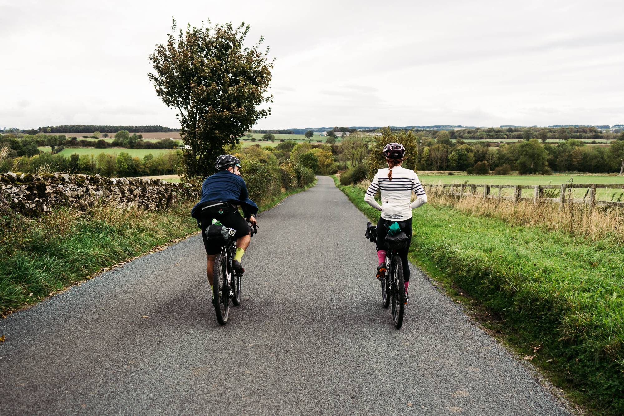
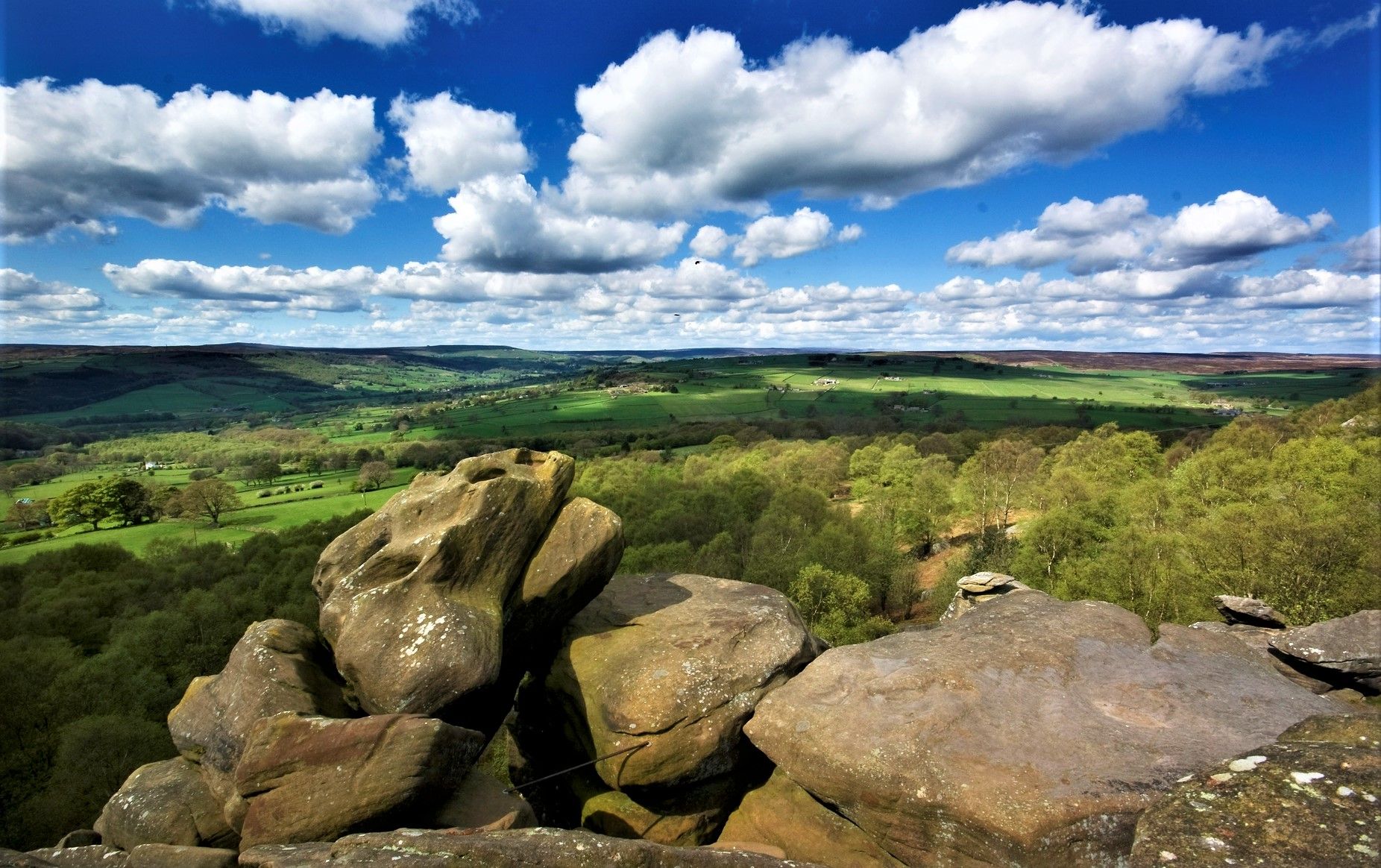
No traffic touring cycling routes around High And Low Bishopside traverse the diverse landscapes of Nidderdale, a region characterized by its hilly terrain, moorland, and river valleys. The area features a mix of quiet country lanes and dedicated paths, offering varied cycling experiences. Notable physical features include reservoirs like Gouthwaite and Scar House, and dramatic rock formations such as Brimham Rocks. This landscape provides a range of gradients suitable for different touring cycling preferences.
Best no traffic touring cycling routes…
Last updated: October 10, 2026
4.7
(3)
213
riders
Hard bike ride. Very good fitness required. Mostly paved surfaces. Suitable for all skill levels.
18
riders
15.5km
00:57
130m
140m
Easy bike ride. Great for any fitness level. Mostly paved surfaces. Suitable for all skill levels.

5.0
(3)
68
riders
48.8km
03:18
820m
820m
Hard bike ride. Very good fitness required. Mostly paved surfaces. Suitable for all skill levels.
4.7
(6)
70
riders
23.9km
01:25
160m
170m
Moderate bike ride. Good fitness required. Mostly paved surfaces. Suitable for all skill levels.
4.0
(2)
60
riders
Moderate bike ride. Good fitness required. Mostly paved surfaces. Suitable for all skill levels.
Get access to more routes and recommendations from other explorers.
Already have an account?
Our route recommendations are based on thousands of hikes, rides, and runs completed by other people on komoot.
Start today with a free account
Your next adventure awaits.
Other adventures around High And Low Bishopside


Tips from the Community

One side of the reservoir is road, the other is a fantastic bridleway
0
0

Lovely Yorkshire town with an excellent marketplace, masham bakery and 2 breweries. We visited the black sheep brewery briefly and were rewarded with Holy Grail Ale, delicious
0
0

Quintessentially pretty market town, arrive early to find suitable parking, best place is next to the showground on the southern side of the bridge over the River Nidd. Honesty box only (no payment cards), cheap at £1 up to 4 hours and £2 all day (spring 2025 prices). The southern end of Nidderdale around Pateley Bridge has one of the densest concentrations of public footpaths in North Yorkshire, so loads of routeing options. See the North Yorks public rights of way map at https://maps.northyorks.gov.uk/connect/analyst/mobile/#/main?mapcfg=Out_and_About
1
0

This is a beautiful road to cycle down that follows the entire length of the reservoir. It's surrounded by rolling hills and farmland and provides great views of the Nidderdale Valley.
1
0

Beautiful spot, with plenty of birds and other wildlife to see. A parking and picnic area is next to the road with a viewing platform.
0
0

A small but quaint town in the Yorkshire Dales.
0
0

Completed in 1936 Scar House Reservoir was built to supply water to the Bradford area. It was built after Angram reservoir which is directly upstream and after Gouthwaite reservoir located a few miles downstream. The dam is 55m high in the middle.
0
0
Frequently Asked Questions
How many no-traffic touring cycling routes are available in High And Low Bishopside?
There are 19 dedicated no-traffic touring cycling routes in High And Low Bishopside, offering a variety of distances and difficulty levels for a peaceful ride away from busy roads.
What kind of terrain can I expect on these no-traffic routes?
The routes in High And Low Bishopside often feature the hilly and rugged terrain of Nidderdale, including moorland and quiet country lanes. While many routes are designed to be traffic-free, some may include challenging climbs and descents, characteristic of the region's diverse landscape.
Are there any easy, family-friendly no-traffic cycling routes?
Yes, there is at least one easy route suitable for families. The region offers a mix of routes, from gentle paths to more challenging rides, ensuring options for various skill levels. Look for routes with lower elevation gain for a more relaxed experience.
What are some notable landmarks or natural features I can see along these routes?
Many routes offer stunning views and pass by significant attractions. You might cycle near the dramatic rock formations of The Druid's Temple, or enjoy the picturesque market town of Pateley Bridge. Other highlights include the mysterious Trollers Gill and various scenic viewpoints like Simon's Seat.
Are there any circular no-traffic touring cycling routes?
Yes, several routes are circular, allowing you to start and end in the same location. For example, the Gouthwaite Reservoir – Stone Bridge, Pateley Bridge loop from Pateley Bridge is a moderate 21.9 km option, and the Gouthwaite Reservoir – Gouthwaite Reservoir loop from Pateley Bridge offers a 27.3 km moderate ride.
What do other touring cyclists enjoy most about cycling in High And Low Bishopside?
The area is highly rated by the komoot community, with an average score of 4.58 stars from 26 ratings. Reviewers often praise the peacefulness of the traffic-free routes, the stunning Nidderdale scenery, and the variety of challenging climbs and rewarding descents.
Are there any routes that pass by reservoirs?
Yes, the region is home to several beautiful reservoirs. You can explore routes like the challenging 33.2 km Scar House Reservoir and Dam – Gouthwaite Reservoir loop from Nidderdale High School, which offers scenic views of both reservoirs.
Where can I find parking for these no-traffic cycling routes?
Parking is generally available in key towns and villages that serve as starting points for many routes, such as Pateley Bridge. Specific parking information for individual routes can often be found in the route descriptions on komoot.
What is the best time of year to cycle these no-traffic routes?
Nidderdale offers beautiful cycling experiences throughout the year. Spring and summer provide pleasant weather and lush landscapes, while autumn brings vibrant colors. Always check local weather conditions, especially for higher elevations, as the terrain can be exposed.
Are there any challenging no-traffic routes for experienced touring cyclists?
Absolutely. Many of the no-traffic routes in High And Low Bishopside are rated as difficult, featuring significant elevation changes. For example, the Warsill Road – Brimham Rocks loop from Nidderdale National Landscape is a challenging 44.4 km ride with over 600 meters of elevation gain.
Can I reach the starting points of these routes by public transport?
Public transport options to the Nidderdale area, including Pateley Bridge, are available, though they may be less frequent than in larger urban centers. It's advisable to check local bus schedules in advance to plan your journey to the starting points of your chosen routes.
Most popular routes around High And Low Bishopside
Most popular attractions around High And Low Bishopside

Get inspired with the komoot mobile app


Explore more
Browse the best Cycling routes in other regions.
