High And Low Bishopside
High And Low Bishopside
The best cycling routes around High And Low Bishopside
4.5
(25)
634
riders
31
rides
Touring cycling around High And Low Bishopside offers a diverse landscape characterized by rolling hills, lush valleys, and expansive moorland within the Nidderdale National Landscape. The region features a network of quiet roads, bridleways, and greenways, providing both on-road and off-road experiences. Cyclists encounter varied terrain, from gentle valley routes along the River Nidd to challenging ascents across the Dales, often passing significant reservoirs.
Best touring cycling routes around High And Low Bishopside
- The most popular touring cycling route is…
Last updated: October 3, 2026
3
riders
62.2km
04:46
1,220m
1,220m
Hard bike ride. Very good fitness required. Mostly paved surfaces. Suitable for all skill levels.
4.7
(3)
213
riders
Hard bike ride. Very good fitness required. Mostly paved surfaces. Suitable for all skill levels.

18
riders
15.5km
00:57
130m
140m
Easy bike ride. Great for any fitness level. Mostly paved surfaces. Suitable for all skill levels.
5.0
(3)
68
riders
48.8km
03:18
820m
820m
Hard bike ride. Very good fitness required. Mostly paved surfaces. Suitable for all skill levels.
4.0
(2)
60
riders
Moderate bike ride. Good fitness required. Mostly paved surfaces. Suitable for all skill levels.
Get access to more routes and recommendations from other explorers.
Already have an account?
Our route recommendations are based on thousands of hikes, rides, and runs completed by other people on komoot.
Start today with a free account
Your next adventure awaits.
Popular around High And Low Bishopside
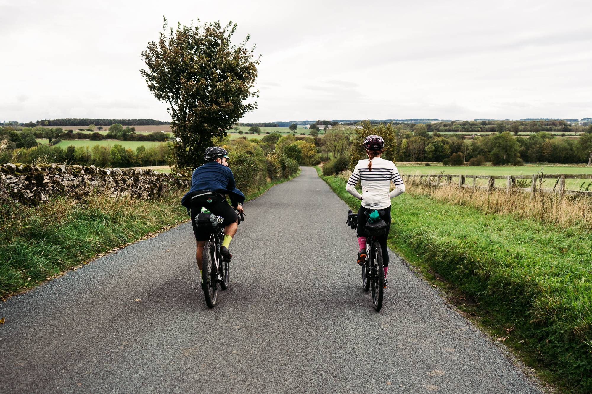
Cycle the Way of the Roses – Historic cities to rolling hills
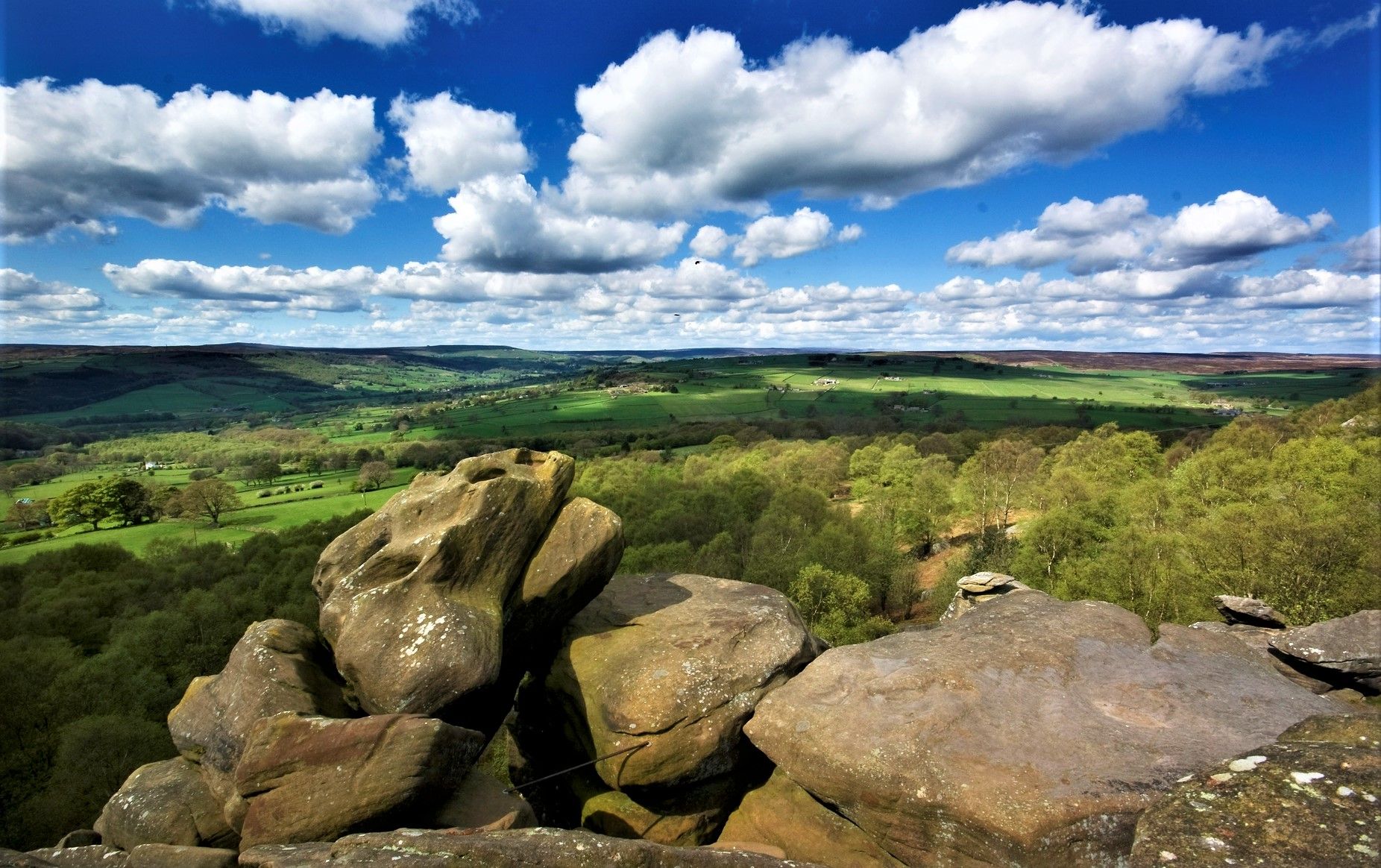
Nidderdale Way — Discover one of Yorkshire's most loved dales
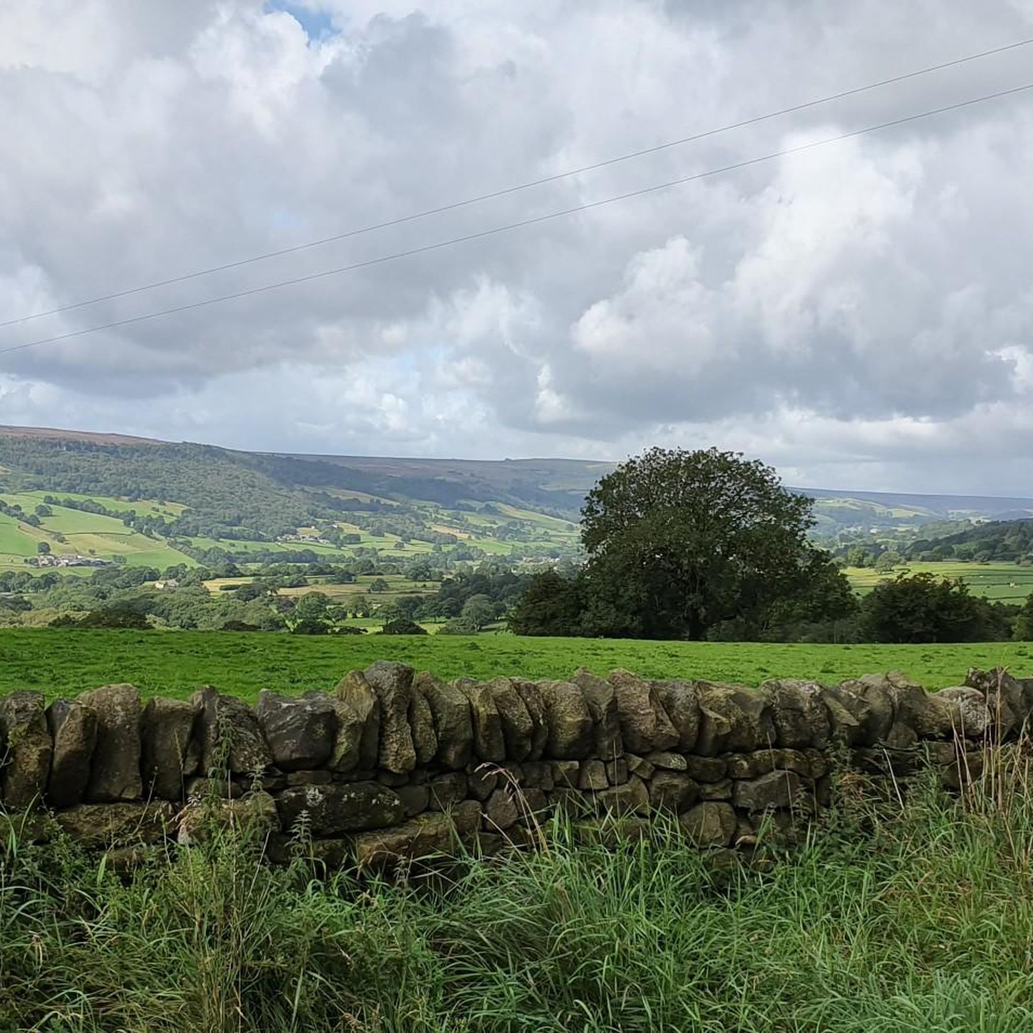
Hiking around High And Low Bishopside
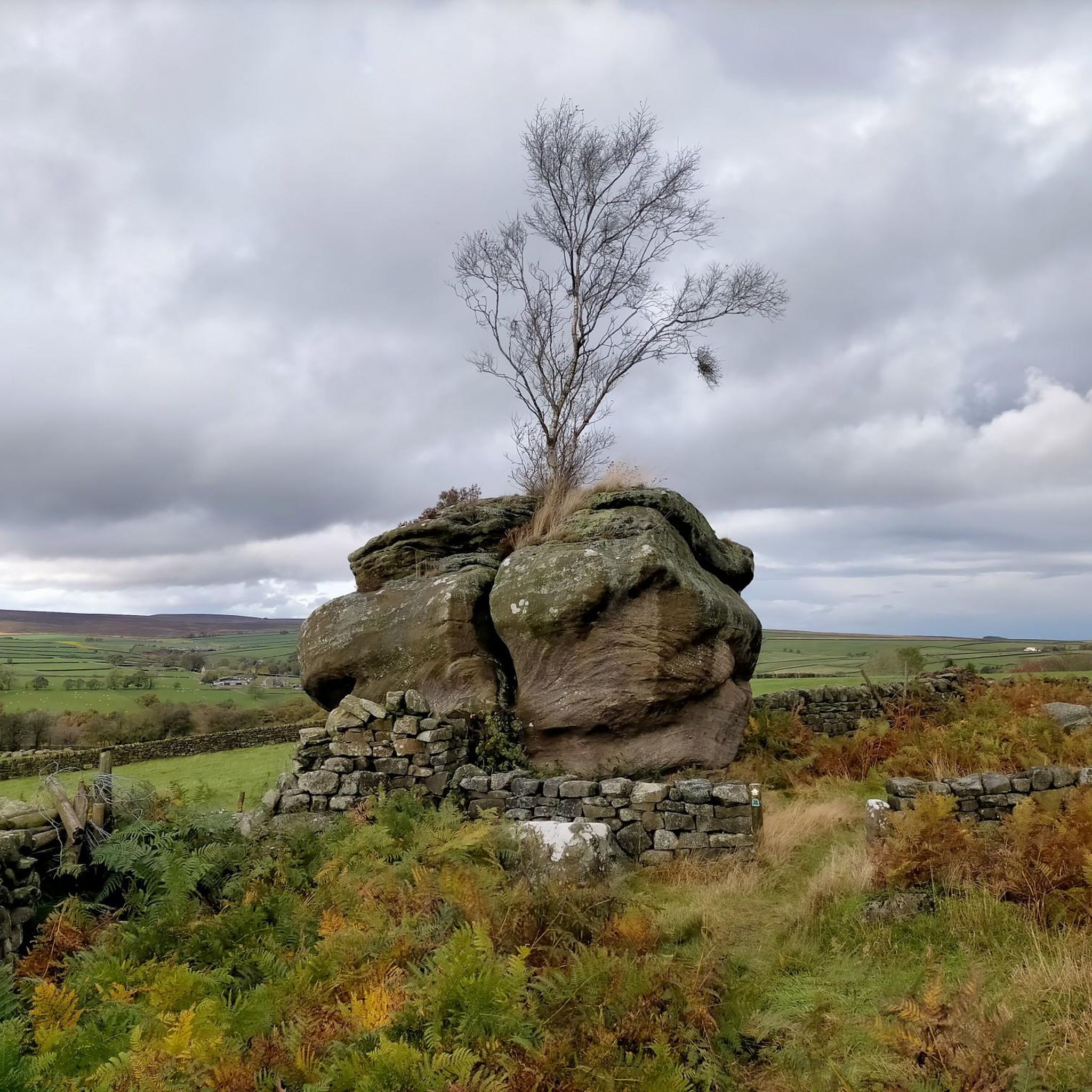
Road Cycling Routes around High And Low Bishopside
MTB Trails around High And Low Bishopside
Running Trails around High And Low Bishopside

Gravel biking around High And Low Bishopside
Other adventures around High And Low Bishopside


Tips from the Community

One side of the reservoir is road, the other is a fantastic bridleway
0
0

Lovely Yorkshire town with an excellent marketplace, masham bakery and 2 breweries. We visited the black sheep brewery briefly and were rewarded with Holy Grail Ale, delicious
0
0

Quintessentially pretty market town, arrive early to find suitable parking, best place is next to the showground on the southern side of the bridge over the River Nidd. Honesty box only (no payment cards), cheap at £1 up to 4 hours and £2 all day (spring 2025 prices). The southern end of Nidderdale around Pateley Bridge has one of the densest concentrations of public footpaths in North Yorkshire, so loads of routeing options. See the North Yorks public rights of way map at https://maps.northyorks.gov.uk/connect/analyst/mobile/#/main?mapcfg=Out_and_About
1
0

This is a beautiful road to cycle down that follows the entire length of the reservoir. It's surrounded by rolling hills and farmland and provides great views of the Nidderdale Valley.
1
0

Beautiful spot, with plenty of birds and other wildlife to see. A parking and picnic area is next to the road with a viewing platform.
0
0

A small but quaint town in the Yorkshire Dales.
0
0

Completed in 1936 Scar House Reservoir was built to supply water to the Bradford area. It was built after Angram reservoir which is directly upstream and after Gouthwaite reservoir located a few miles downstream. The dam is 55m high in the middle.
0
0
Frequently Asked Questions
What kind of terrain can I expect on touring cycling routes in High And Low Bishopside?
The touring cycling routes in High And Low Bishopside, located within the Nidderdale National Landscape, offer a diverse mix of terrain. You'll find quiet roads, bridleways, and greenways, with options ranging from gentle valley rides along the River Nidd to challenging ascents across rugged moorlands. The landscape is characterized by rolling hills, lush valleys, and traditional dry stone walls.
Are there any easy touring cycling routes suitable for beginners or families?
While many routes in the area are challenging, there are options for easier rides. The region offers a network of quiet roads and greenways that are suitable for less experienced cyclists. For example, the Gouthwaite Reservoir – Stone Bridge, Pateley Bridge loop from Pateley Bridge is a moderate 13.6-mile route that winds through scenic valleys and past Gouthwaite Reservoir, offering a less strenuous experience.
Where can I find scenic viewpoints or natural features along the touring cycling routes?
High And Low Bishopside is rich in scenic beauty. Many routes pass by significant natural features such as Scar House Reservoir and Gouthwaite Reservoir, which are excellent for birdwatching. You can also find dramatic rock formations at Brimham Rocks, or explore the unique landscape of Trollers Gill. For specific viewpoints, consider routes that pass near Riva Hill Summit or Far Comb Hill.
Are there any circular touring cycling routes in the area?
Yes, many touring cycling routes in High And Low Bishopside are designed as loops, allowing you to start and finish in the same location. Popular circular options include the Scar House Reservoir & Kettlewell loop from Pateley Bridge, a challenging 38.6-mile ride, and the moderate Gouthwaite Reservoir – Gouthwaite Reservoir loop from Pateley Bridge, which is 16.9 miles long.
What are some notable attractions or landmarks I can visit while cycling?
Beyond the natural beauty, you can explore charming attractions. Pateley Bridge, often called the 'Capital of Nidderdale,' is a great hub with its historic bridge and the oldest sweet shop in the world. Nearby, you might consider visiting the historic Fountains Abbey. For unique natural landmarks, look for routes that pass near Hackfall Wood or Fosse Gill Waterfall.
How many touring cycling routes are available in High And Low Bishopside?
There are nearly 40 touring cycling routes available around High And Low Bishopside. These routes cater to various skill levels, with a significant number offering challenging rides through the diverse landscape of the Nidderdale National Landscape.
What do other touring cyclists say about the routes in High And Low Bishopside?
The touring cycling routes in High And Low Bishopside are highly rated by the komoot community, with an average score of 4.6 stars from over 20 reviews. Cyclists often praise the varied terrain, stunning Dales scenery, and the opportunity to explore both quiet roads and challenging moorland climbs.
Are there any routes that feature reservoirs?
Yes, reservoirs are prominent features in the Nidderdale National Landscape, and several touring cycling routes incorporate them. You can cycle around or past Scar House Reservoir and Gouthwaite Reservoir. For instance, the Scar House Reservoir and Dam – Gouthwaite Reservoir loop from Nidderdale High School is a challenging 33.2-mile route that takes in both.
What is the best season for touring cycling in High And Low Bishopside?
The Nidderdale National Landscape offers beautiful cycling opportunities throughout much of the year. Spring and summer provide lush green landscapes and generally milder weather, while autumn brings vibrant colors. However, due to the hilly nature and exposed moorlands, conditions can change rapidly, so it's always wise to check the forecast, especially during winter months when some routes might be more challenging.
Are there any routes that offer significant elevation gain for a challenging ride?
Absolutely. High And Low Bishopside is known for its challenging climbs and significant elevation changes, making it ideal for experienced touring cyclists seeking a workout. Many routes feature demanding ascents across the Dales. A prime example is the Scar House Reservoir & Kettlewell loop from Pateley Bridge, which includes over 1200 meters of elevation gain.
Can I find routes that are suitable for cross-country mountain biking?
While this guide focuses on touring cycling, the wider Nidderdale National Landscape does offer options for cross-country mountain biking. Areas like Brimham Rocks, known for its unique rock formations, feature accessible cross-country mountain bike loops, providing a different kind of cycling experience within the region.
Most popular routes around High And Low Bishopside
Most popular attractions around High And Low Bishopside

Get inspired with the komoot mobile app


Explore more
Browse the best Cycling routes in other regions.
