Top 20 Mountain Passes around Lumnezia
Mountain passes around Lumnezia, located in the Surselva Region of the Swiss canton of Graubünden, offer diverse experiences for visitors. This valley features a varied natural and cultural landscape, providing a backdrop for outdoor activities. The region is characterized by alpine terrain, historical routes, and opportunities for exploration. Lumnezia serves as a starting point for accessing several notable mountain passes.
Best mountain passes around Lumnezia
- The most popular mountain passes is Alpine Route Between Val Lumnezia and Obersaxen, a…
Last updated: June 26, 2026
Lake Bischol
Highlight • Lake
Translated by Google •
Tip by

Tenner Kreuz summit
Highlight • Summit
Translated by Google •
Tip by

Sign up now to discover places like this
Get recommendations on the best single tracks, peaks, & plenty of other exciting outdoor places.
Sign up for free
Alpine Route Between Val Lumnezia and Obersaxen
Highlight (Segment) • Trail
Translated by Google •
Tip by

Lukmanier Pass from Disentis
Highlight (Segment) • Mountain Pass
Translated by Google •
Tip by

Safierberg Pass Summit
Highlight • Mountain Pass
Translated by Google •
Tip by

Sign up for free to discover even more mountain passes around Lumnezia.
Sign up for free
Already have an account?
Start today with a free account
Your next adventure awaits.
Login or Signup
Popular around Lumnezia

Winter Magic in the Surselva – peace, space and pure nature

Alpine Passes Trail – hiking 700km across Switzerland

Alpine Passes Trail in Switzerland – 34 stages of pure mountain fun
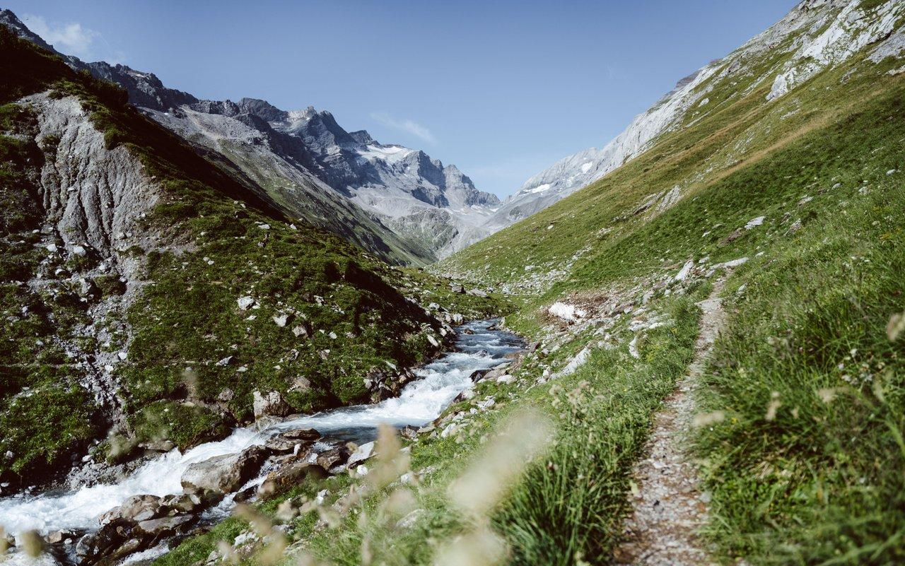
Relax and enjoy – hiking highlights of the Surselva
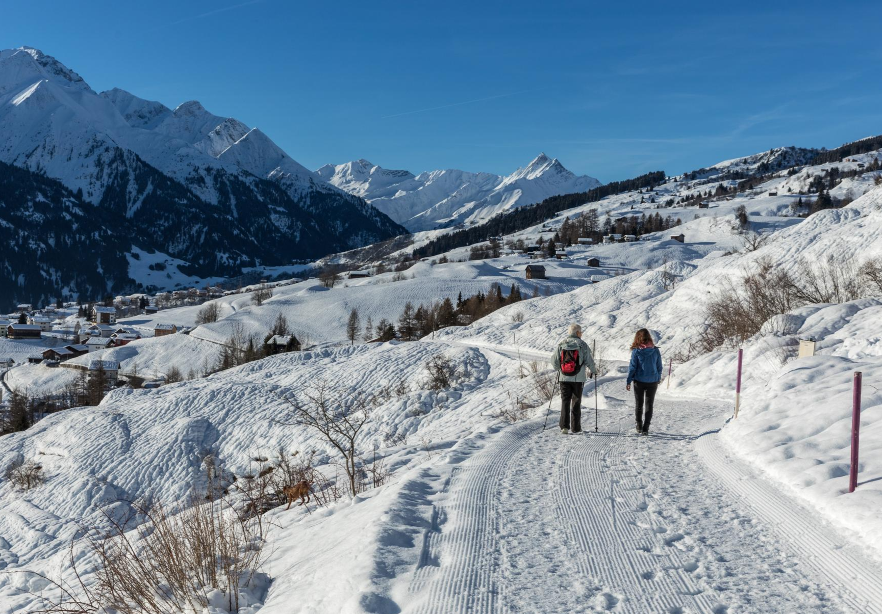
A winter mountain paradise – discover the Surselva
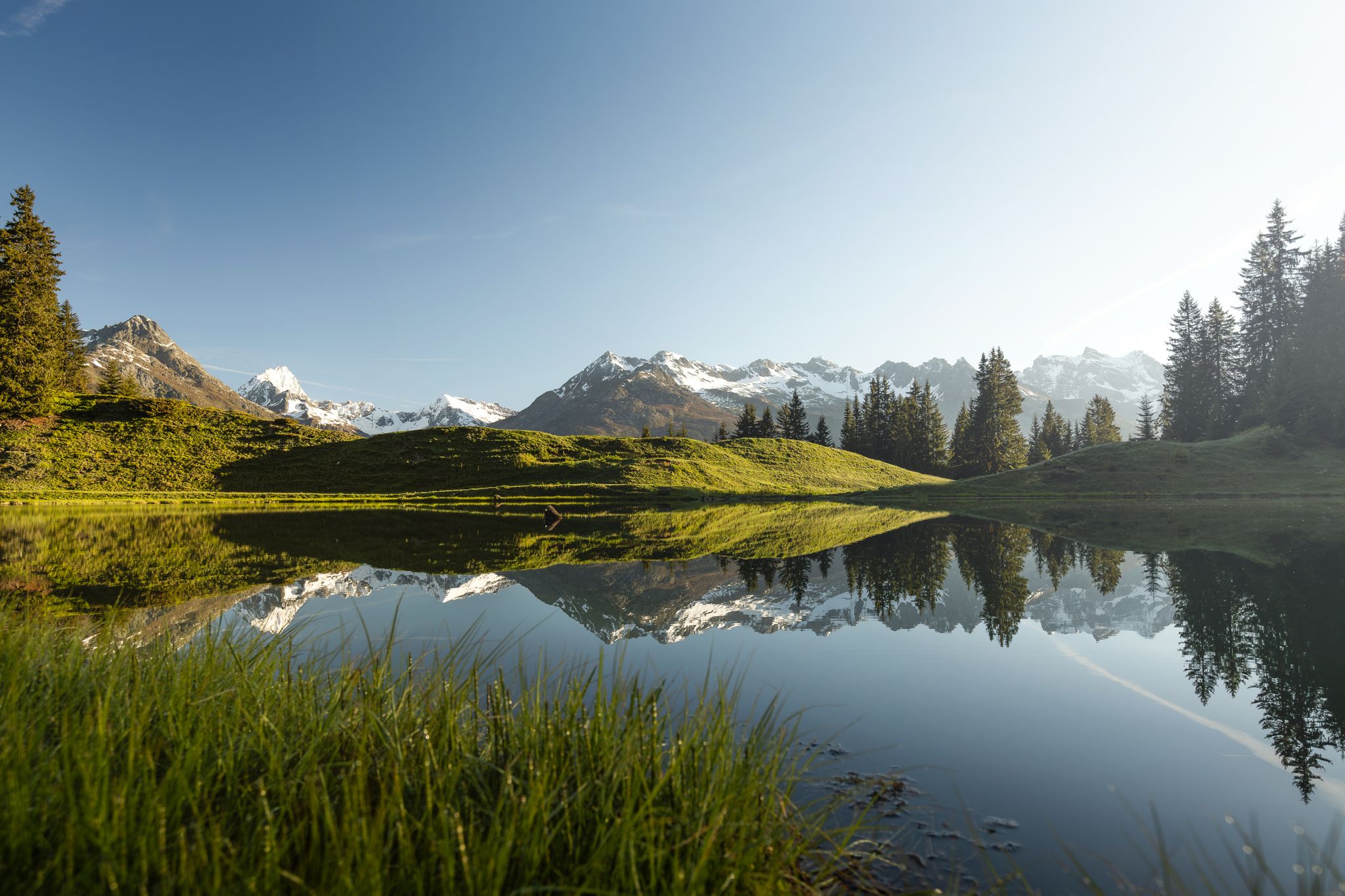
Tiefblau und unberührt – Wanderungen zu den Bergseen der Surselva
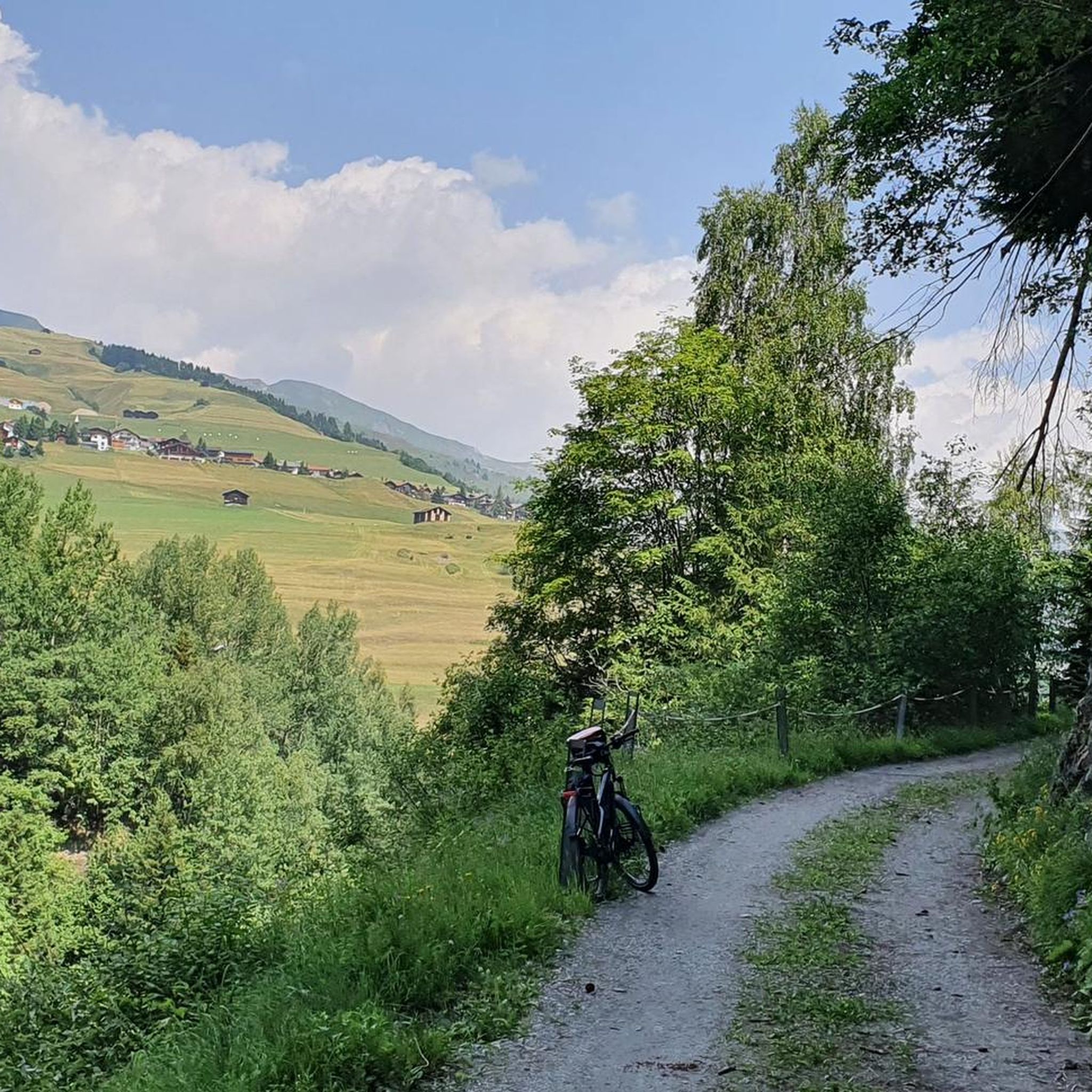
Hiking around Lumnezia
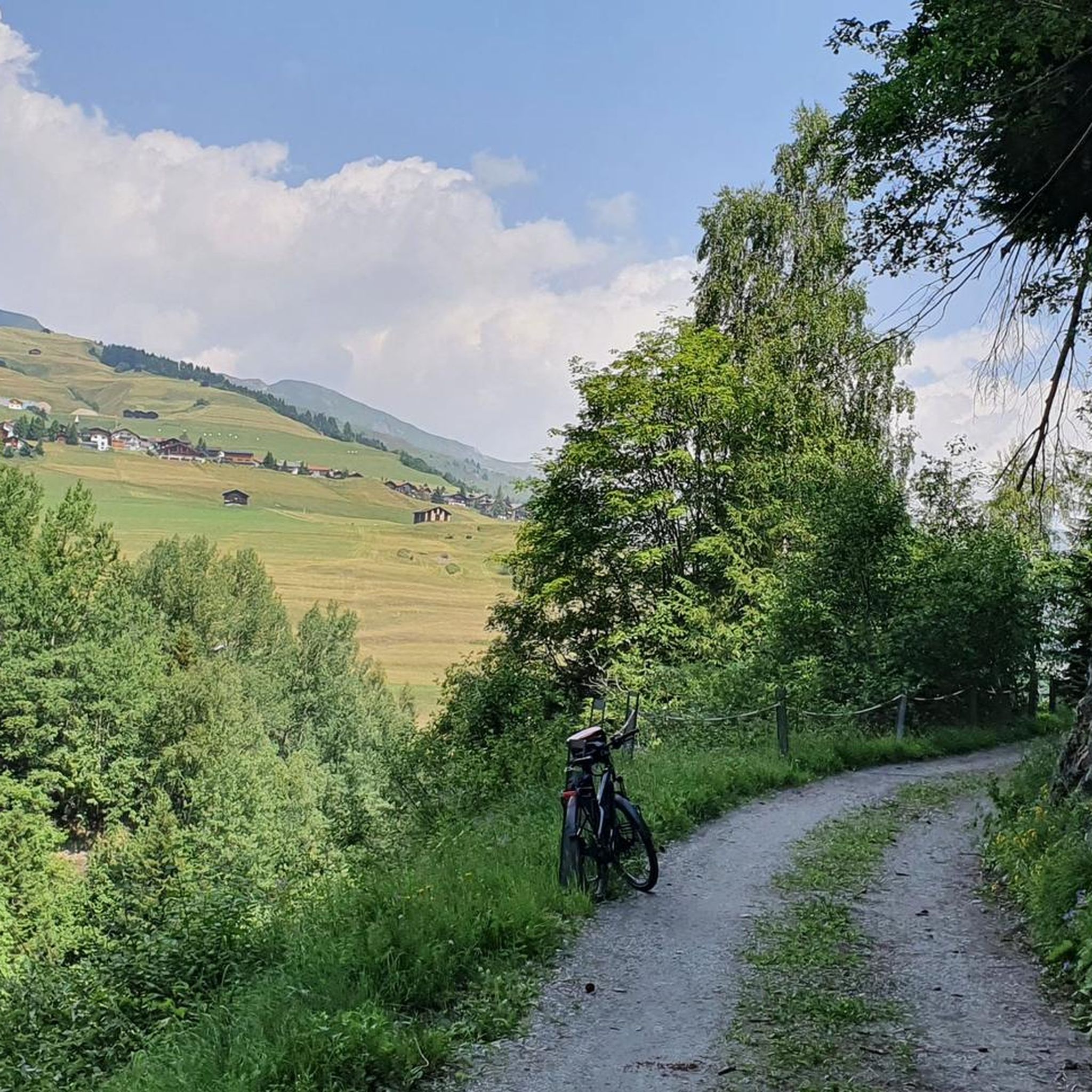
MTB Trails around Lumnezia
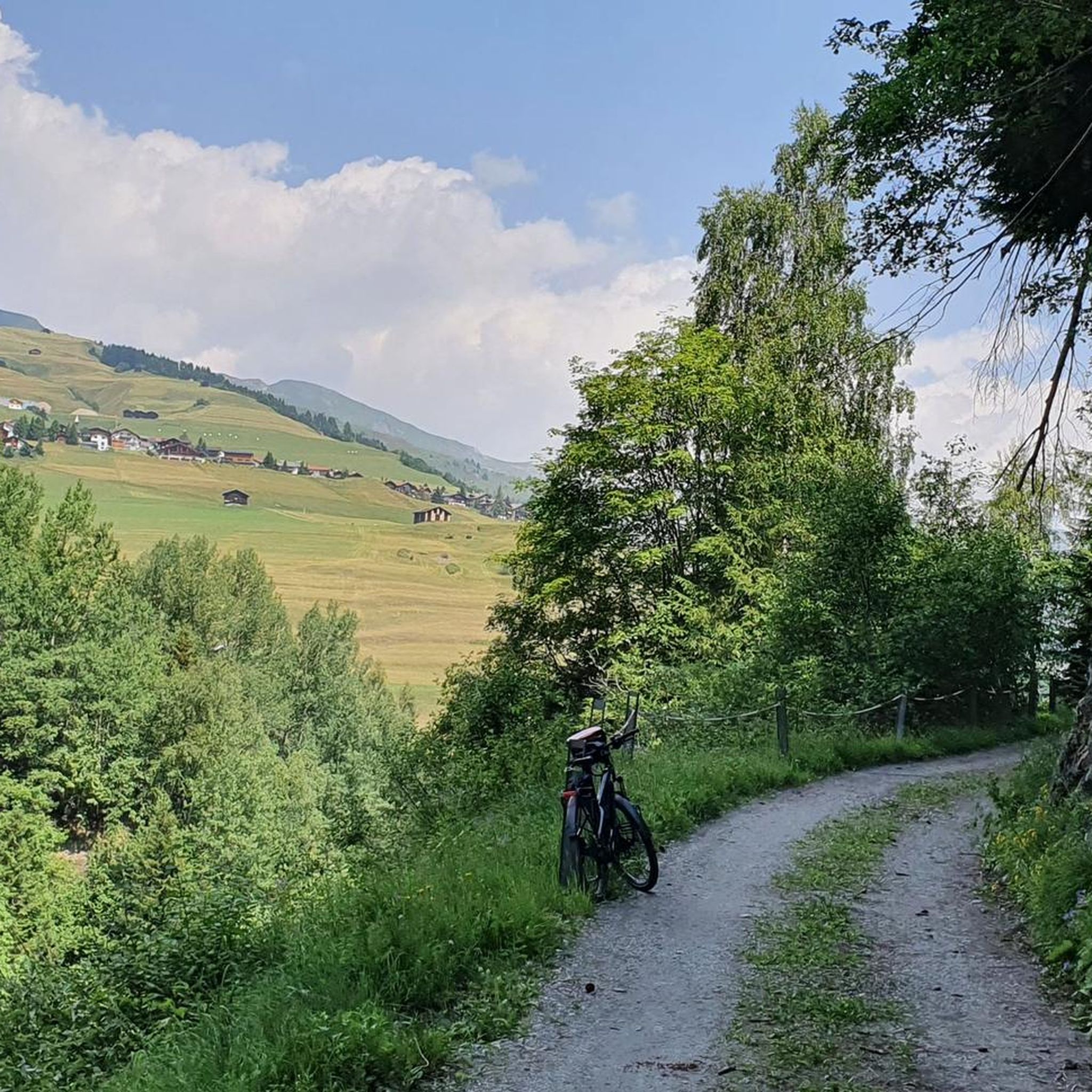
Road Cycling Routes around Lumnezia
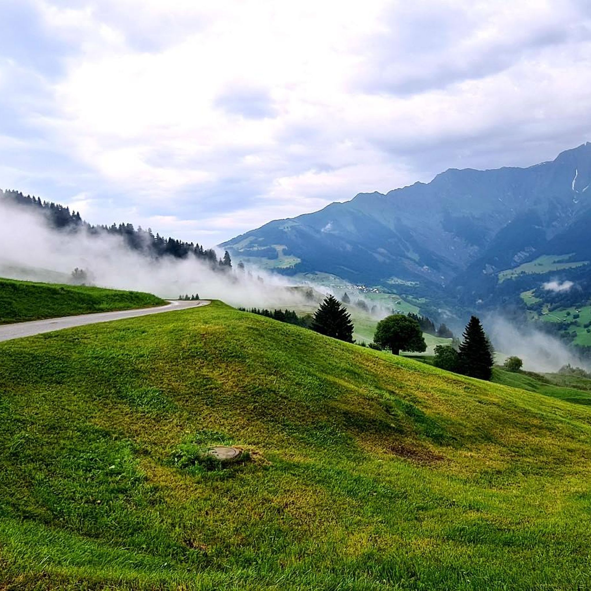
Cycling around Lumnezia
Other adventures around Lumnezia


Tips from the Community

Lake in front of the Tenner Kreuz
0
0

Because of the many tunnels, you should definitely have lights (which are mandatory anyway) mounted on the front and rear of your bike when riding over the Lukmanier Pass.
1
0

great and long descent towards Biasca
0
0

The only disadvantage is the numerous tunnels. For example, there is a 2 km avalanche gallery along the lake at the summit, which blocks the view. But it is a pleasant climb.
0
0

The panoramic view of the Graubünden mountains is simply incomparably beautiful.
6
0

From Disentis up the Val Medel to the Lukmanier Pass – a dream 🤩. Except for a few short exceptions, the road is very easy to ride with a gradient of around 5%. The long valley offers wonderful views in all directions and, despite the lack of hairpin bends, is a lot of fun to ride.
2
0

Super nice road through small villages, towards Lukmanier.
1
0
Frequently Asked Questions
What are some of the most popular mountain passes around Lumnezia?
Among the highly-rated mountain passes, the Alpine Route Between Val Lumnezia and Obersaxen is a popular choice, offering beautiful views after a rewarding ascent. The Tenner Kreuz summit is also a must-see, known for its historical significance and wide views of the lower Surselva, including Flims and the Rhine Gorge.
Are there mountain passes with historical significance in the Lumnezia region?
Yes, several passes have rich historical backgrounds. The Tenner Kreuz summit was historically a crucial link for the people of Tenna, who used it for burials. The Diesrut Pass served for centuries as a vital mule track connecting to the south. Additionally, the Safierberg Pass Summit features old ruins from World War II, which once functioned as a blocking point.
What kind of views can I expect from the mountain passes in Lumnezia?
The mountain passes around Lumnezia offer diverse and stunning panoramic views. From the Tenner Kreuz summit, you can enjoy wide vistas of the lower Surselva, Flims, the Rhine Gorge, and the Glarner Alps. The Fuorcla da Patnaul provides beautiful views down to Vals and a broad panorama of the Bündner Alps and the central Alpine main ridge. The Lake Bischol area also offers incomparably beautiful panoramic views of the Graubünden mountains.
Are there cycling routes available on the mountain passes?
Absolutely. The Lukmanier Pass from Disentis is particularly well-suited for cycling, offering a dream-like experience with a gentle gradient of around 5% for most of the road and wonderful views. For more cycling options, you can explore various routes in the region, including those found in the Road Cycling Routes around Lumnezia guide.
What are the best times to visit the mountain passes around Lumnezia?
The best time to visit is generally during the warmer months, from late spring to early autumn, when the passes are most accessible and free of snow. However, even in mid-June, passes like Diesrut can still have snowfields, so it's always advisable to check local conditions and weather forecasts before heading out, especially for higher or more rugged passes.
Are there challenging hiking trails associated with these mountain passes?
Yes, for experienced hikers seeking a challenge, the Diesrut Pass is a key part of the demanding multi-day Greina Alta trek. The ascent to Diesrut Pass is steady and takes approximately 2.5 hours from Puzzatsch, leading to a rugged, wild experience. The Fuorcla da Patnaul also appeals to serious hikers looking for high-alpine experiences. You can find more challenging options in the Mountain Hikes around Lumnezia guide.
What natural features can I explore near the mountain passes?
The region is rich in natural beauty. Near some passes, you can find features like Lake Bischol, an elongated lake under nature protection, offering stunning views of the Graubünden mountains. The Diesrut Pass is known as the 'gateway to the Greina,' a magnificent natural monument characterized by bare, grassy debris and rock surfaces. The Lumnezia valley itself is known as the 'Valley of Light' with varied natural landscapes.
Are there any specific considerations for hiking the Fuorcla da Patnaul?
The Fuorcla da Patnaul offers extensive views of the Bündner Alps. While the Vals side is generally accessible, it's important to note that the hiking trail connecting Vrin and Vals may be closed at certain times, such as from July to September 2025, due to the presence of sheep herds with guard dogs on the Vrin side. Always check current conditions before planning your trip.
What activities can I do near the mountain passes in Lumnezia?
Beyond exploring the passes themselves, Lumnezia offers a wide range of outdoor activities. You can find numerous routes for mountain hiking, cycling, and road cycling. The region's varied natural and cultural landscape, with cozy mountain huts and numerous churches, provides an ideal backdrop for active recreation.
What do visitors enjoy most about the mountain passes around Lumnezia?
Visitors frequently praise the stunning alpine landscapes and the diverse experiences offered. Many appreciate the rewarding ascents and the beautiful views in all directions, as noted for the Alpine Route Between Val Lumnezia and Obersaxen. The historical significance of passes like the Tenner Kreuz summit and the rugged, wild nature of areas like the Diesrut Pass also leave a lasting impression.
Is the Diesrut Pass suitable for all hikers?
The Diesrut Pass, while not overly steep, is described as a rugged and wild experience. It's part of the challenging multi-day Greina Alta trek. Hikers should be prepared for potentially rough and windy weather, and snowfields are not uncommon even in mid-June. It's best suited for experienced hikers comfortable with alpine conditions.
Can I find amenities like cafes or accommodation near the mountain passes?
The Lumnezia region, known for its varied natural and cultural landscape, features cozy mountain huts and villages that often provide amenities. While specific cafes directly on every pass might be rare, you'll find options in nearby towns and villages, or at mountain huts along popular routes. It's advisable to plan your route and check for available services beforehand.
Most popular routes around Lumnezia
Most popular attractions around Lumnezia

Get inspired with the komoot mobile app


Explore more
See even more epic mountain passes by checking out these guides around Lumnezia:
