The best mountain hikes around Lumnezia
5.0
(6)
85
hikers
10
hikes
Mountaineering routes around Lumnezia traverse a landscape characterized by deep alpine valleys, high mountain passes, and expansive plateaus. The region features challenging ascents and descents, often leading through rocky terrain and past natural landmarks. This area of Switzerland offers a rugged environment for experienced mountaineers.
Best mountaineering routes around Lumnezia
- The most popular mountaineering route is Val Frisal Suspension Bridge loop from Puzzatsch, an 8.0 miles (13.0 km) trail that takes 6 hours 48 minutes to complete. This difficult…
Last updated: October 10, 2026
21
hikers
16.7km
06:47
990m
990m
Hard mountaineering route. Very good fitness required. Sure-footedness, sturdy shoes and alpine experience required.
5.0
(1)
13
hikers
10.7km
07:05
1,120m
1,120m
Hard mountaineering route. Very good fitness required. Sure-footedness, sturdy shoes and alpine experience required.

5.0
(1)
7
hikers
12.7km
05:44
1,090m
1,090m
Hard mountaineering route. Very good fitness required. Sure-footedness, sturdy shoes and alpine experience required.
7
hikers
14.8km
06:47
930m
930m
Hard mountaineering route. Very good fitness required. Sure-footedness, sturdy shoes and alpine experience required.
5
hikers
16.7km
08:46
1,130m
1,130m
Hard mountaineering route. Very good fitness required. Sure-footedness, sturdy shoes and alpine experience required.
Get access to more routes and recommendations from other explorers.
Already have an account?
Our route recommendations are based on thousands of hikes, rides, and runs completed by other people on komoot.
Start today with a free account
Your next adventure awaits.
Popular around Lumnezia

Alpine Passes Trail – hiking 700km across Switzerland

Alpine Passes Trail in Switzerland – 34 stages of pure mountain fun

Winter Magic in the Surselva – peace, space and pure nature
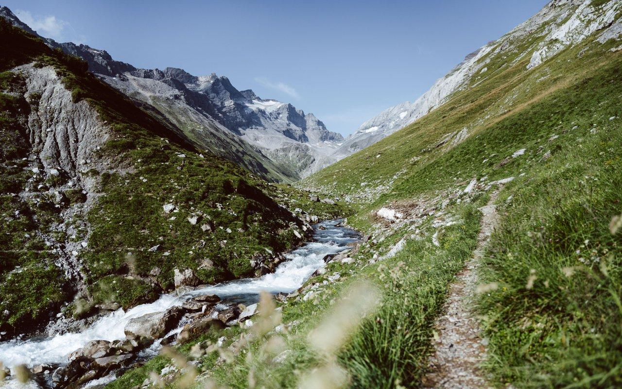
Relax and enjoy – hiking highlights of the Surselva
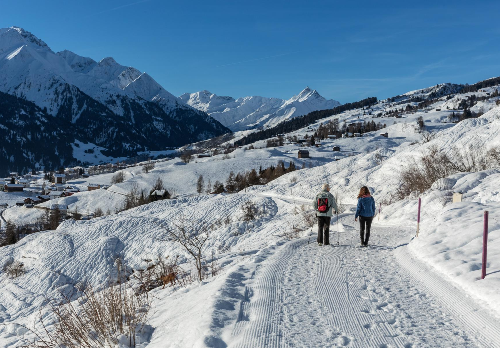
A winter mountain paradise – discover the Surselva
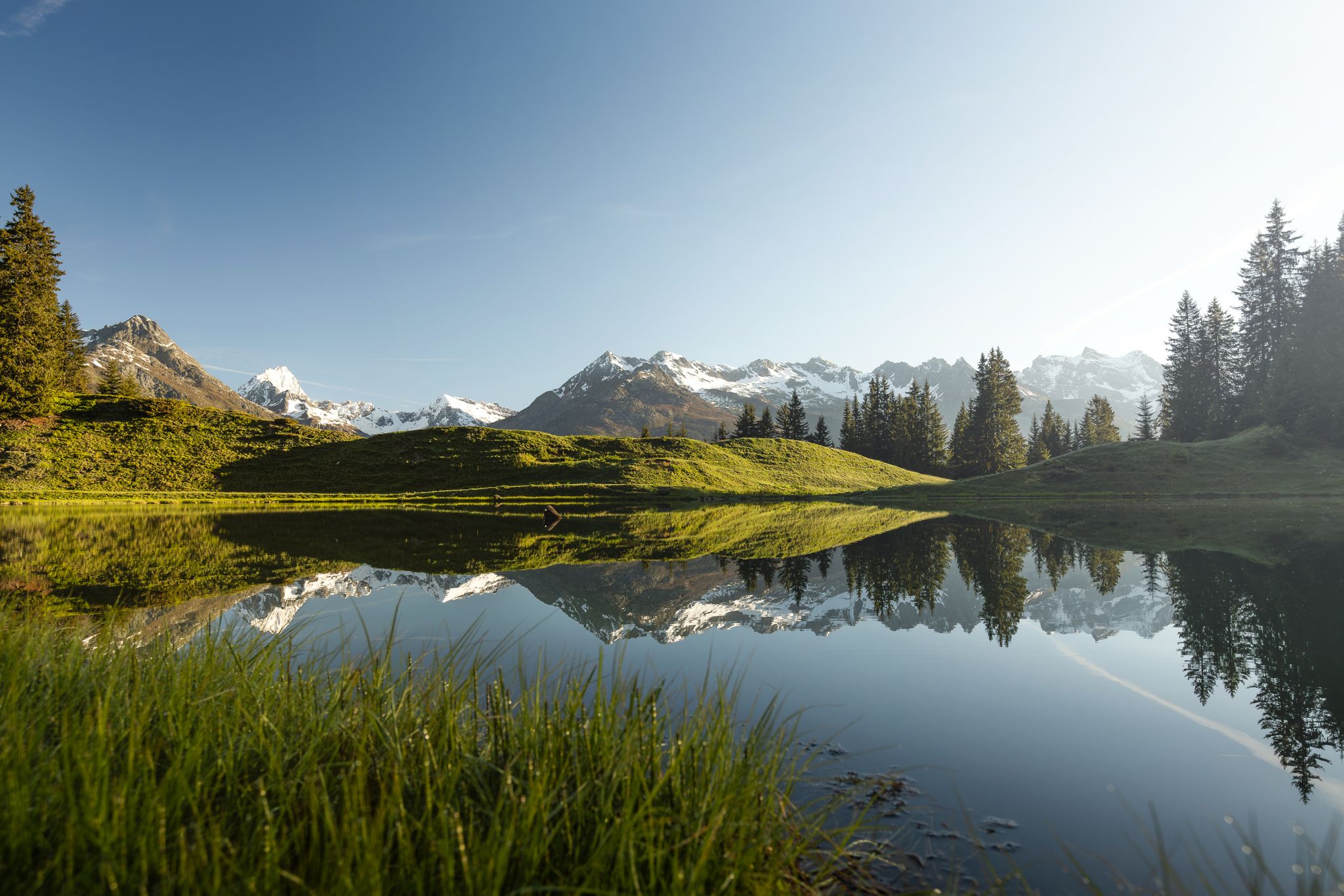
Tiefblau und unberührt – Wanderungen zu den Bergseen der Surselva
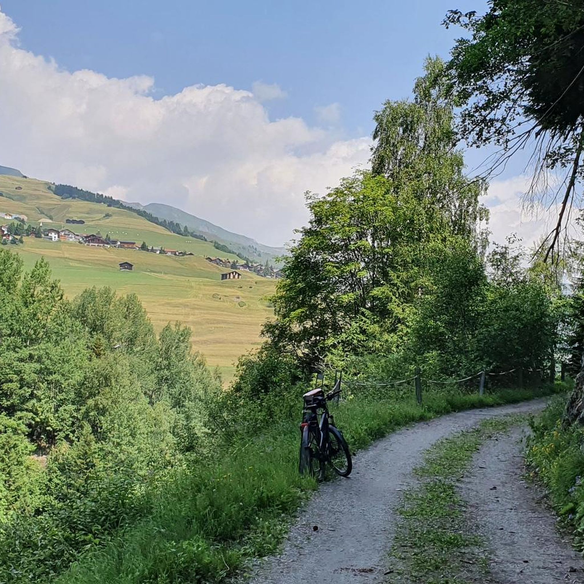
Hiking around Lumnezia
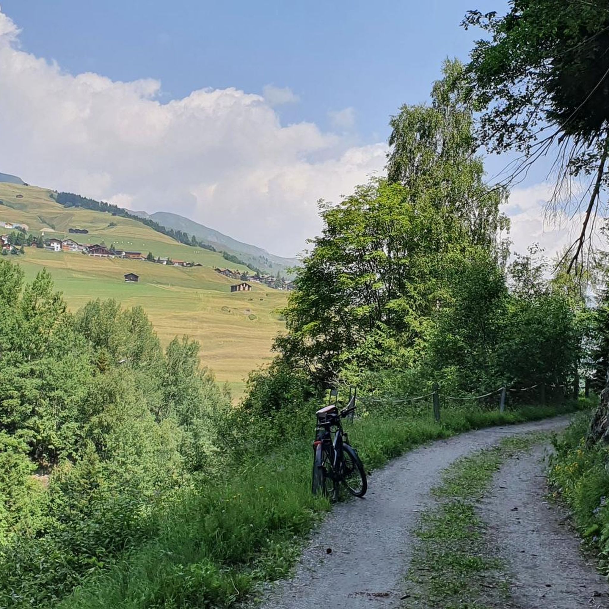
MTB Trails around Lumnezia
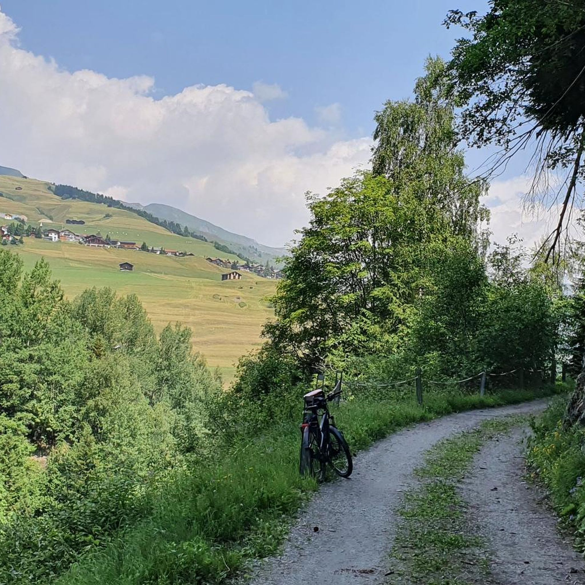
Road Cycling Routes around Lumnezia
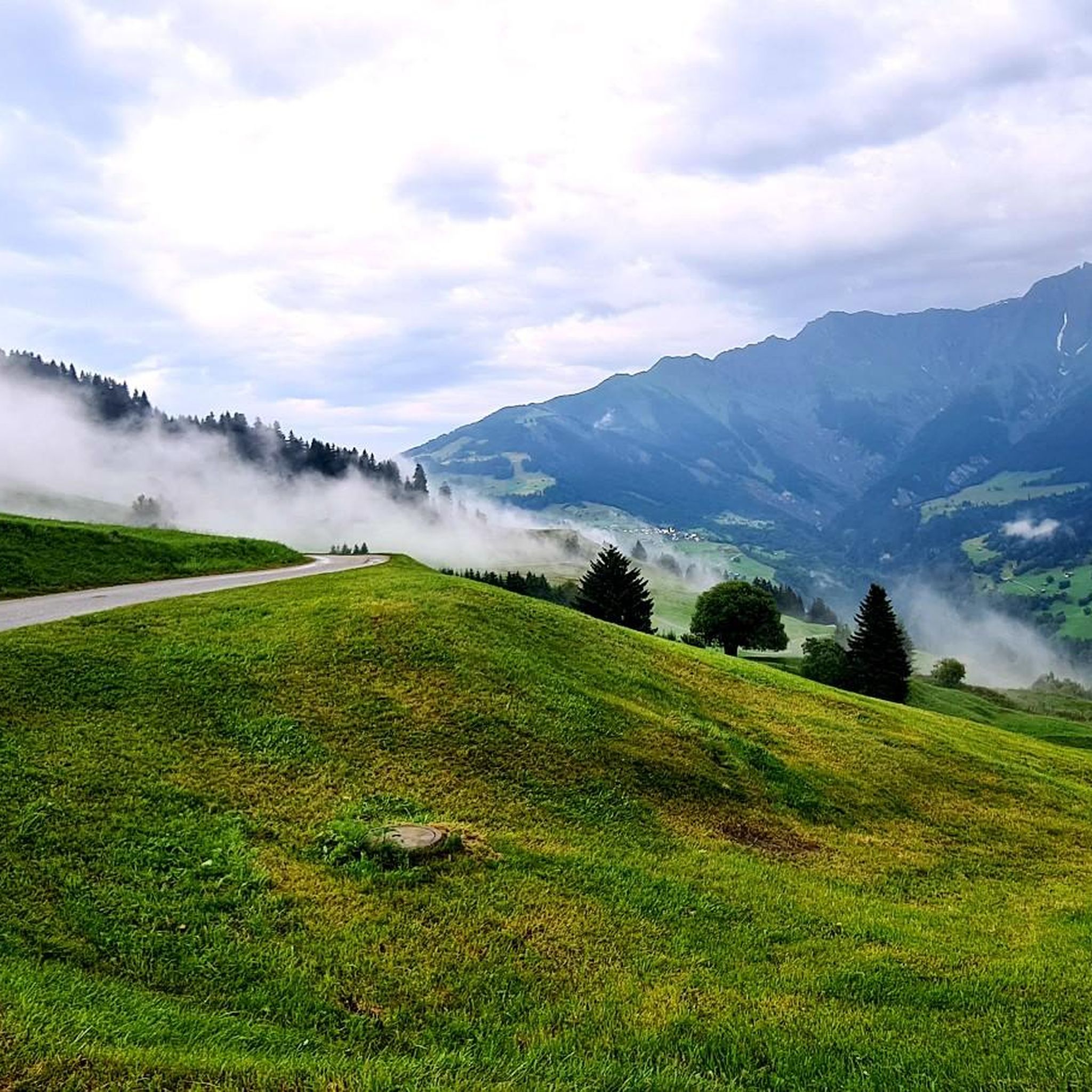
Cycling around Lumnezia
Other adventures around Lumnezia


Tips from the Community


The restaurant is located at an altitude of 1,725 meters directly on the winter hiking trail and near the Crest Falla ski lifts. The large sun terrace offers a unique view across the Rhine Valley to the Signina mountain range.
0
0

A cozy mountain hut with very friendly staff. From the dining tables, you have a view of the large reservoir and the surrounding mountains. Overnight stays are available in small dormitories.
0
1
The hut has been recently renovated and is now even more comfortable. It's beautifully situated, surrounded by mountains and on the edge of the Greina Plain. You reach the hut via a new suspension bridge. Too exciting? You can also walk along the other side of the mountain.
0
0

Beautifully rounded summit, often crowded, wide panoramic view
0
0
Frequently Asked Questions
What kind of mountaineering routes can I expect in Lumnezia?
Mountaineering in Lumnezia offers a rugged environment characterized by deep alpine valleys, high mountain passes, and expansive plateaus. The routes often feature challenging ascents and descents through rocky terrain, catering primarily to experienced mountaineers. While most routes are difficult, there are a few moderate and even one easy option available.
Are there any easier mountaineering options in Lumnezia for beginners?
While Lumnezia is known for its challenging terrain, there is at least one easy mountaineering route available. For those looking for a less strenuous introduction to the region's alpine environment, you can find a suitable option among the 18 routes listed in this guide.
How challenging are the more advanced mountaineering routes in Lumnezia?
The majority of mountaineering routes in Lumnezia are classified as difficult, with 14 out of 18 routes falling into this category. These trails involve significant elevation changes, often exceeding 1000 meters, and can take many hours to complete. For example, the Climbing Route on Rocky Cliff – Carassina Dam loop from Diga del Luzzone is a difficult 19.8 km route with over 1000 meters of elevation gain.
Are the mountaineering routes in Lumnezia accessible by public transport?
Access to mountaineering routes in Lumnezia by public transport varies. Some routes, like those starting from Puzzatsch or Gadastatt, may have public transport connections to nearby villages. It's advisable to check local bus schedules and connections to specific trailheads when planning your trip.
Where can I park when planning a mountaineering trip in Lumnezia?
Parking availability for mountaineering routes in Lumnezia typically depends on the trailhead. Many routes start from villages or designated parking areas in the valleys. For example, routes like the Val Frisal Suspension Bridge loop often begin from locations like Puzzatsch, where parking facilities are usually available, though they might be limited during peak season.
Can I bring my dog on the mountaineering routes in Lumnezia?
Many mountaineering routes in Lumnezia are dog-friendly, allowing you to explore the alpine landscape with your canine companion. However, it's always recommended to keep your dog on a leash, especially in areas with livestock or wildlife, and to check for any specific local regulations or protected areas that might restrict dog access.
Are there any circular mountaineering routes in Lumnezia?
Yes, Lumnezia offers several excellent circular mountaineering routes. These loops allow you to experience diverse scenery without retracing your steps. Examples include the popular Fuorcla da Patnaul loop from Gadastatt, which takes you through mountain passes, or the Crest la Greina – View of Terrihütte loop from Lag da Runcahez.
What are some interesting natural landmarks or attractions to see along the mountaineering routes in Lumnezia?
Lumnezia's mountaineering routes often pass by stunning natural landmarks. You might encounter impressive gorges such as the Rhine Gorge or the Sumvitg Valley. The region is also home to significant peaks like Piz Mundaun, offering panoramic views.
Are there any huts or places to rest near the mountaineering trails in Lumnezia?
Yes, there are mountain huts and villages near some of the mountaineering trails in Lumnezia where you can rest or find refreshments. Notable huts include Capanna Bovarina and Motterascio Hut. The charming Vals village square also offers amenities.
What is the best season for mountaineering in Lumnezia?
The best season for mountaineering in Lumnezia is typically from late spring to early autumn (June to September). During these months, the snow has usually melted from higher elevations, and the weather is generally more stable, offering ideal conditions for exploring the alpine valleys and passes. Always check current weather and trail conditions before heading out.
What do other mountaineers enjoy the most about mountaineering in Lumnezia?
The mountaineering routes in Lumnezia are highly rated by the komoot community, with an average score of 4.9 stars. Reviewers often praise the challenging nature of the trails, the stunning alpine scenery, and the sense of adventure found in this rugged region of Switzerland.
Are there any routes that feature suspension bridges in Lumnezia?
Yes, some mountaineering routes in Lumnezia incorporate exciting features like suspension bridges. For instance, the Greina Plateau – Val Frisal Suspension Bridge loop from Puzzatsch offers the thrill of crossing a suspension bridge as part of its challenging alpine journey.
Most popular routes around Lumnezia
Most popular attractions around Lumnezia

Get inspired with the komoot mobile app


Explore more
Browse the best Mountain Hikes & Routes in other regions.
