The best traffic-free bike rides in Garnilawald
4.5
(35)
280
riders
16
rides
Garnilawald gravel bike trails traverse a landscape characterized by varied terrain, including forested sections, open valleys, and elevated viewpoints. The region features a mix of natural surfaces suitable for gravel biking, with routes often incorporating climbs and descents. Elevations provide panoramic views of surrounding areas like Schruns and Tschagguns. The area offers opportunities for extended rides through diverse natural settings.
Best no traffic gravel bike trails in Garnilawald
- The most popular no traffic gravel bike trail is Panoramic view of…
Last updated: July 6, 2026
5.0
(3)
11
riders
Hard gravel ride. Very good fitness required. Mostly paved surfaces. Suitable for all skill levels.
2.0
(1)
8
riders
57.3km
05:35
1,590m
1,590m
Hard gravel ride. Very good fitness required. Mostly paved surfaces. Suitable for all skill levels.

Sign up for free
5.0
(3)
25
riders
34.2km
03:11
1,300m
1,300m
Hard gravel ride. Very good fitness required. Mostly paved surfaces. Suitable for all skill levels.
6
riders
21.7km
02:17
920m
920m
Hard gravel ride. Very good fitness required. Mostly paved surfaces. Suitable for all skill levels.
4.5
(2)
8
riders
16.0km
01:16
500m
500m
Hard gravel ride. Very good fitness required. Mostly paved surfaces. Suitable for all skill levels.
Get access to more routes and recommendations from other explorers.
Sign up for free
Already have an account?
Our route recommendations are based on thousands of hikes, rides, and runs completed by other people on komoot.
Start today with a free account
Your next adventure awaits.
Login or Signup
Popular around Garnilawald

Tips from the Community


Eastern Lake on the geological high-altitude hiking trail
0
0
In good weather, a fantastic view of the Rätikon and the rear Montafon
1
0

easy nice tour, and beautiful view
1
0


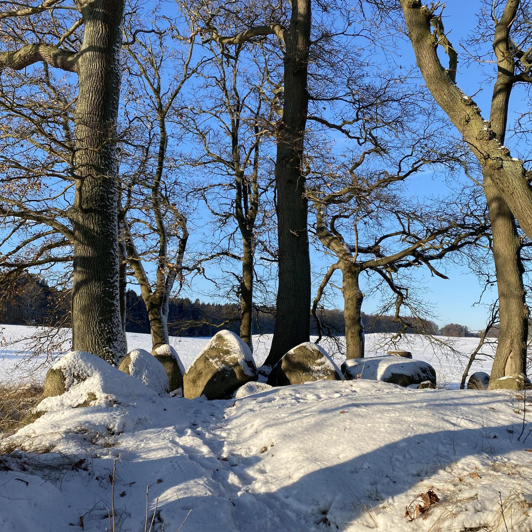
The Neolithic stone circles on the Tschengla plateau are considered part of a huge calendar complex dating from 5000 to 1900 BC. The orientation of the stone circles shows parallels to other prehistoric structures in Europe.
9
0
The Neolithic stone circles on the Tschengla plateau are considered part of a huge calendar complex dating from 5000 to 1900 BC. The orientation of the stone circles shows parallels to other prehistoric structures in Europe.
9
0

The “Itonskopf Tour” trail takes you close to the steep slopes of the Klostertal. The views from up here are fantastic.
2
0
Frequently Asked Questions
How many no-traffic gravel bike trails are available in Garnilawald?
There are 16 dedicated no-traffic gravel bike trails in Garnilawald featured in this guide. These routes offer a range of distances and elevations, ensuring a suitable option for various fitness levels.
Are there any easy or beginner-friendly no-traffic gravel routes in Garnilawald?
Yes, while many routes are more challenging, there is at least one easy route suitable for beginners. For a more relaxed ride, consider exploring the View of Schruns and Tschagguns – Fritzensee loop from Bartholomäberg, which offers a manageable distance and elevation gain.
What kind of terrain can I expect on Garnilawald's no-traffic gravel trails?
The no-traffic gravel trails in Garnilawald typically feature a mix of gravel paths, forest roads, and quiet country lanes. You can expect varied surfaces, from smoother, well-maintained sections to more rugged, natural gravel, often with significant elevation changes as seen in routes like the Brandnertal Gravel Tour.
Are there any circular no-traffic gravel routes in Garnilawald?
Many of the no-traffic gravel routes in Garnilawald are designed as loops, allowing you to start and end at the same point. Examples include the Panoramic view of Rellseck – View of Schruns and Tschagguns loop from Sankt Anton im Montafon and the Tschengla Stone Circles – View of the Brandnertal Valley loop from Bludenz.
What attractions or points of interest can I see along the no-traffic gravel bike trails?
Along the trails, you can discover several points of interest. For instance, you might pass by natural features like the Klostertal Valley or the Innerbraz Reservoir. Some routes also offer stunning views from summits such as Davenna Summit or Zwölferkopf Summit.
What is the best season for gravel biking in Garnilawald?
Gravel biking in Garnilawald is generally enjoyable from spring through autumn. Spring brings fresh greenery, while autumn offers vibrant foliage. Summer is also popular, but be prepared for potentially warmer temperatures and check for any seasonal trail conditions or closures, especially at higher elevations.
Are there any family-friendly no-traffic gravel trails in Garnilawald?
While many routes in Garnilawald are rated as difficult, there are options that might be suitable for families with older children or those seeking a less strenuous ride. Look for routes with lower elevation gain and shorter distances, such as the easy-rated View of Schruns and Tschagguns – Fritzensee loop from Bartholomäberg.
Where can I find parking or access points for these gravel trails?
Access points and parking vary by route. Many trails, being loops, often start and end near towns or designated parking areas. For example, the Panoramic view of Rellseck loop starts from Sankt Anton im Montafon, implying access from that area. Always check the individual route details on komoot for specific starting points and parking information.
What do other gravel bikers enjoy most about Garnilawald's no-traffic routes?
The komoot community highly rates the no-traffic gravel routes in Garnilawald, with an average score of 4.6 stars. Riders often praise the peacefulness of the trails, the stunning panoramic views, and the challenging yet rewarding climbs that lead to memorable experiences away from busy roads.
Are there options for advanced gravel bikers looking for a challenge?
Absolutely. Garnilawald offers numerous challenging no-traffic gravel routes. Many of the 16 routes are rated as difficult, featuring significant elevation gains and longer distances. The Brandnertal Gravel Tour, for instance, covers over 57 km with more than 1500 meters of ascent, providing a substantial test for experienced riders.
Are there any places to stop for refreshments or food along the trails?
While specific cafes or pubs are not detailed for every route, many trails pass through or near villages and towns where you can find opportunities for refreshments. It's always a good idea to check the route map on komoot for points of interest or nearby settlements before you set out, and consider packing your own snacks and water.
Most popular routes in Garnilawald
Most popular attractions in Garnilawald

Get inspired with the komoot mobile app


Explore more
Browse the best Gravel rides in other regions.
