The best walks and hikes in Garnilawald
4.6
(16030)
82,946
hikers
976
hikes
Hiking trails in Garnilawald are primarily located within a forested region in Bezirk Bludenz. The area features varied terrain, including paths leading to waterfalls and around reservoirs. These routes offer opportunities for exploration through natural landscapes. Garnilawald provides a range of options for outdoor activities, from easy forest walks to more challenging ascents.
Best hiking trails in Garnilawald
- The most popular hiking route is Hike to the Mason waterfall, a 5.1 miles (8.2 km) trail that takes 2 hours…
Last updated: July 1, 2026
4.2
(30)
134
hikers
8.15km
02:54
460m
480m
Moderate hike. Good fitness required. Easily-accessible paths. Suitable for all skill levels.
4.2
(30)
134
hikers
8.14km
02:55
460m
480m
Moderate hike. Good fitness required. Easily-accessible paths. Suitable for all skill levels.

Sign up for free
4.3
(7)
19
hikers
12.3km
04:13
670m
540m
Moderate hike. Good fitness required. Easily-accessible paths. Suitable for all skill levels.
4.6
(8)
36
hikers
Easy hike. Great for any fitness level. Easily-accessible paths. Suitable for all skill levels.
3.7
(7)
36
hikers
12.1km
04:05
550m
550m
Moderate hike. Good fitness required. Easily-accessible paths. Suitable for all skill levels.
Get access to more routes and recommendations from other explorers.
Sign up for free
Already have an account?
Our route recommendations are based on thousands of hikes, rides, and runs completed by other people on komoot.
Start today with a free account
Your next adventure awaits.
Login or Signup
Tips from the Community

Along the educational trail, around 40 information boards provide exciting insights into topics such as the region's fauna, flora, history, and climate. Aspects like water supply and traffic are also clearly explained.
0
0

German concentration camp prisoner and chaplain in Dachau
0
0

Best in good weather. It had rained the day before, and now it was completely muddy.
0
0


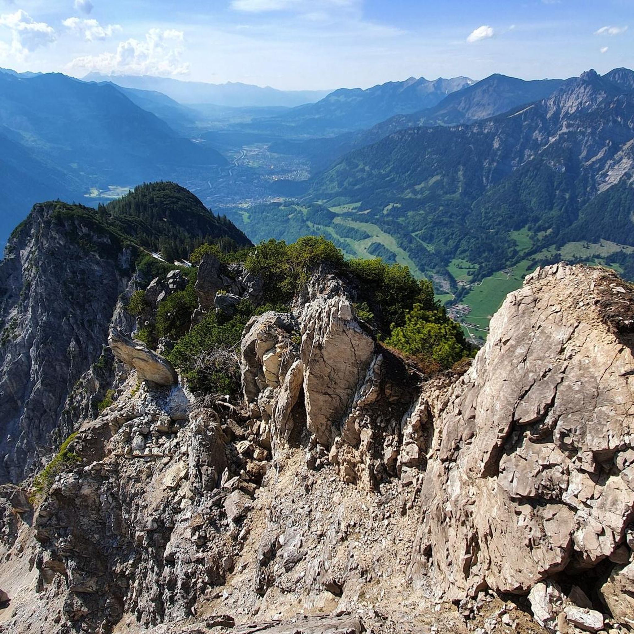
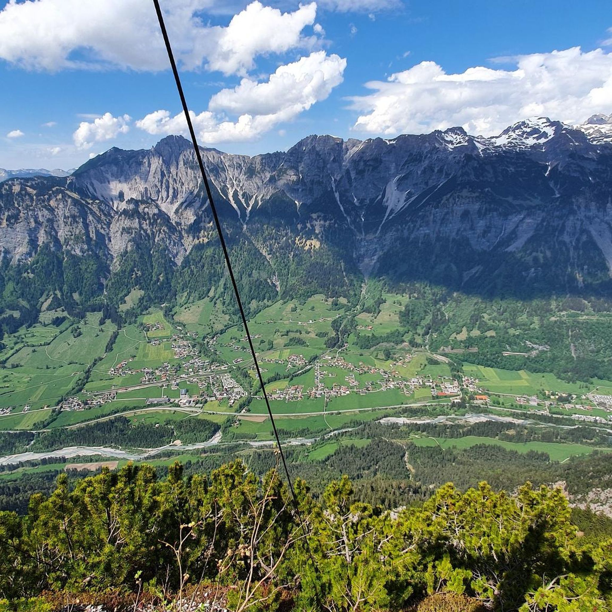
Rest bench at the Römerkeller with a beautiful view of the valley.
1
0
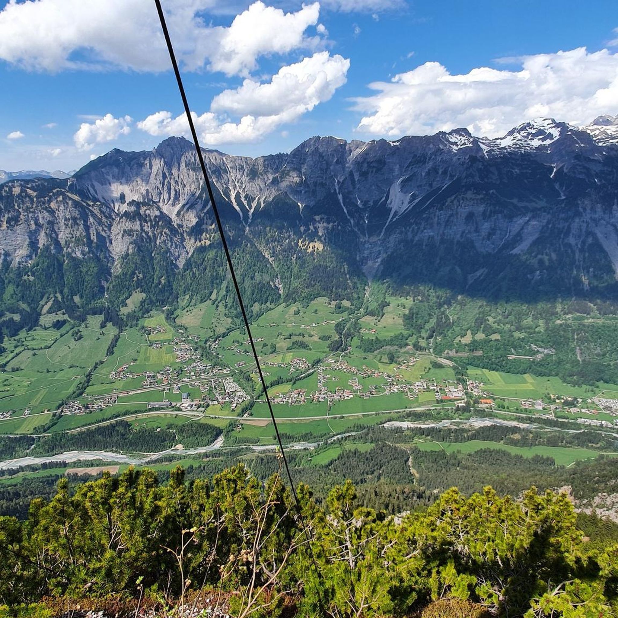
In the hamlet of Mason, high above the Alfenz valley, you'll pass a small chapel. Enjoy the magnificent view!
2
0

There are benches to take a break and enjoy the peace
0
0

Frequently Asked Questions
How many hiking trails are available in Garnilawald?
Garnilawald offers a wide selection of hiking trails, with over 970 routes documented on komoot. These range from easy forest walks to more challenging ascents, catering to various skill levels.
What kind of terrain can I expect on Garnilawald's hiking trails?
The hiking trails in Garnilawald are primarily located within a dense forested region. You can expect varied terrain, including paths that lead to notable waterfalls and routes that circle around reservoirs. The area provides a mix of natural landscapes, from gentle forest paths to moderate ascents.
Are there easy hiking options in Garnilawald?
Yes, Garnilawald has many easy hiking options. There are over 340 easy routes available, perfect for a relaxed walk. An example is the View of Außerbraz – Mason Waterfall loop from Innerbraz, which is an easy 3.8 km trail.
Are there any circular walks in Garnilawald?
Yes, Garnilawald features several circular walks. These routes allow you to start and end at the same point, offering convenient exploration. Many trails, including those around the Innerbraz Reservoir, are designed as loops.
What can I see along the hiking trails in Garnilawald?
Along Garnilawald's hiking trails, you can discover various points of interest. These include natural features like the Klostertal Valley and the Innerbraz Reservoir. For those seeking views, there are summits such as Davenna Summit and Zwölferkopf Summit. You might also find facilities like the Barbecue Area with Water Wheel.
Are there any trails that feature waterfalls?
Yes, Garnilawald is known for its waterfalls. Several trails lead to or pass by notable waterfalls, offering scenic views and a refreshing experience. The region's varied terrain often incorporates these natural features into its routes.
What do other hikers enjoy most about hiking in Garnilawald?
The hiking experience in Garnilawald is highly rated by the komoot community, with an average score of 4.6 stars from over 14,000 reviews. Hikers often praise the dense woodlands, the presence of waterfalls, and the peaceful reservoir paths. The variety of options for different ability levels is also frequently highlighted.
Are the trails in Garnilawald suitable for families?
Garnilawald offers many trails suitable for families, especially the numerous easy forest walks and routes around the reservoir that feature gentle gradients. These paths provide a pleasant outdoor experience for all ages.
Are there any long-distance hiking options in Garnilawald?
While Garnilawald is known for its diverse network of trails, it primarily offers day hikes and moderate-length routes. For example, the Mason Waterfall – Mason Waterfall loop from Innerbraz is a longer option at 12.1 km, taking about 4 hours to complete.
Is public transport available to access Garnilawald's hiking trails?
Information regarding specific public transport links directly to Garnilawald's trailheads is not detailed in the guide. However, many hiking regions in Austria, including parts of Bezirk Bludenz, typically have bus services connecting to local villages, which may provide access points to the trails. It's advisable to check local transport schedules for Innerbraz or surrounding areas.
Are there places to eat or drink near the trails?
While specific cafes or pubs directly on the trails are not listed, the presence of routes starting from places like 'Gasthof Rössle Innerbraz' suggests that villages such as Innerbraz likely offer dining options. These can be convenient for pre- or post-hike refreshments.
What is the best time of year to hike in Garnilawald?
Garnilawald's forested and varied terrain makes it suitable for hiking across multiple seasons. Spring and autumn offer pleasant temperatures and vibrant scenery, while summer provides longer daylight hours. Winter hiking may be possible on some trails, but conditions can vary, and specific winter routes are not detailed.
Most popular routes in Garnilawald
Most popular attractions in Garnilawald

Get inspired with the komoot mobile app


Explore more
Browse the best Hikes in other regions.
